Parking
Start at Five Mile Carpark on Five Mile Road in the north of the park. The walk begins from this access; picnic tables are available at the carpark.
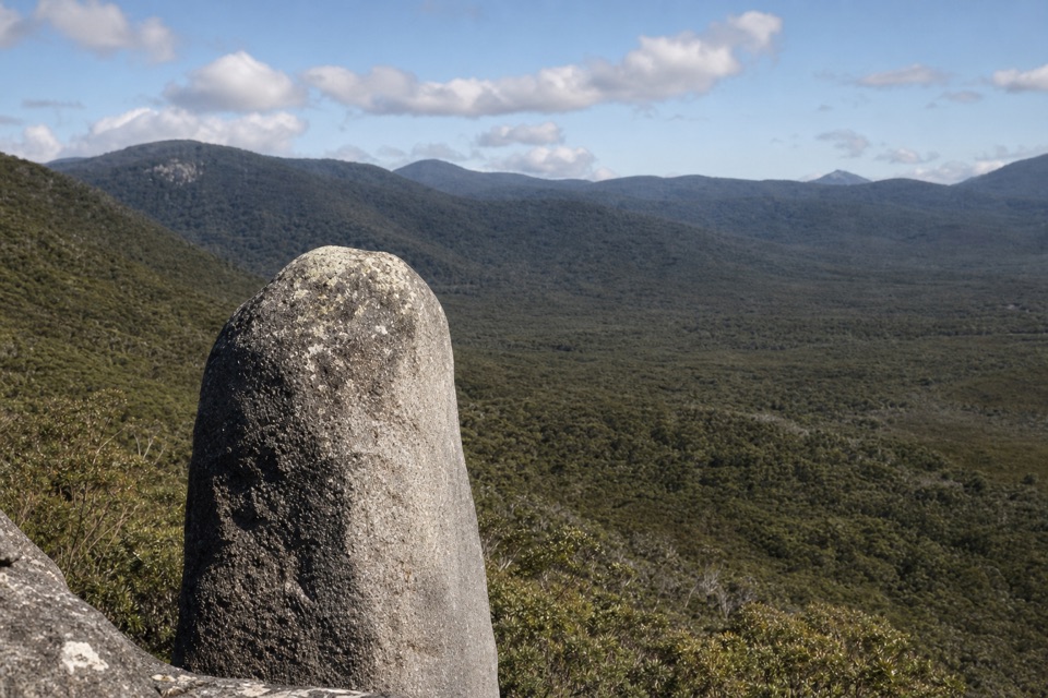
Wilsons Promontory National Park, VIC
A steep climb to granite boulders and wide coastal views.
Overview
Vereker Outlook Walk is a 6 km (3.7 mile) out-and-back from Five Mile Carpark to a granite boulder outlook. The first short stretch follows a broad, compacted road; the signed path then climbs through open banksia woodland and grass trees into stringybark. This is a proper uphill walk, not a level stroll: the park grades it 3 and describes it as steep. Choose it if you want a good climb and a big view without giving the whole day to a trail. Allow about two to two and a half hours.
 Parkwolf’s verdictIs this the hike for you?
Map & elevation
Plan your hike

The highest, rockiest slopes around here are a summer buffet for grizzly bears.
Wilsons Promontory Tour Guide
Parkwolf is a GPS audio tour guide for Wilsons Promontory National Park. As you drive, it chimes in with what’s ahead: hidden gems, upcoming stops, history, geology, and wildlife, right through your car’s speakers.
Recorded for this trailhead
Five Mile Road and Millers Landing“You're approaching the turnoff for Five Mile Road; the walks start farther along at Five Mile Carpark.”
Plays as you drive up to this trailhead in the Parkwolf Wilsons Promontory Tour Guide.
More stories near here in the app
“Fantastic app with many points of information… It’s great to just turn on while you’re driving and it gives you an audio tour of the national Park. We love it!!!!”


Trail guide
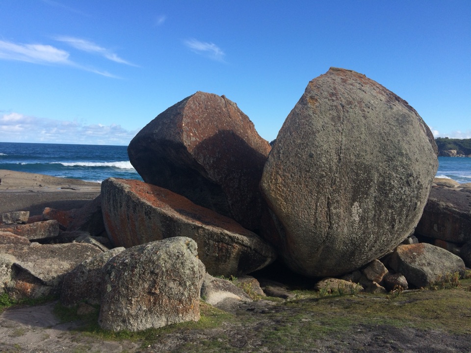
Leave the carpark on the walking approach along Five Mile Road and take the signed Vereker turn toward the outlook. That short road section counts in the six-kilometre return distance. The narrower, unpaved track gains height through low open woodland, with banksia and grass trees on the lower slope and taller stringybark farther up. Near the ridge, granite boulders start to take over the scene. Some are balanced against one another, giving the outlook its character. Follow the path to the rocks, then turn back and retrace the same corridor. The link track toward Millers Landing is a separate, longer extension; it is not part of this out-and-back route.
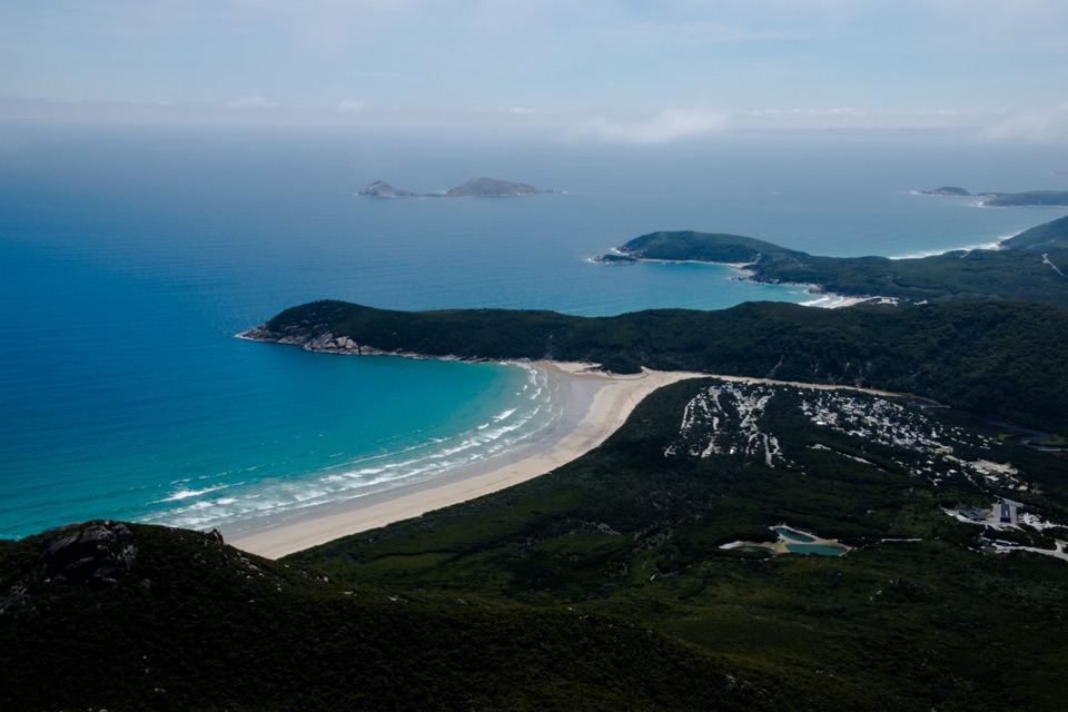
A knoll just before the lookout sign gives a broad vantage toward Darby Saddle, Corner Inlet and Cotters Beach. Pause there and frame a pale boulder against the wooded ridge; it makes a stronger foreground than the sign alone. Expect about 250 metres of climbing, with a steeper, rougher finish. Rocks can be slippery and the outlook has unprotected cliffs, so keep well back from the edges.
Five Mile Carpark has picnic tables, but the walk has no facilities. Dogs are not allowed in Wilsons Promontory National Park. If the steep grade is more than you want, the separate Millers Landing Nature Walk also starts from Five Mile; it is 4 km return, Grade 2.2, and a gentler option that does not visit the outlook.
Wildlife
 18 sightingsWedge-tailed EagleMost seen around 11 AMSighting map
 29 sightingsKoalaMost seen around 6 PMSighting map
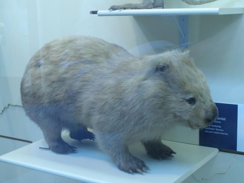 774 sightingsBare-nosed WombatMost seen around 6 PMSighting map
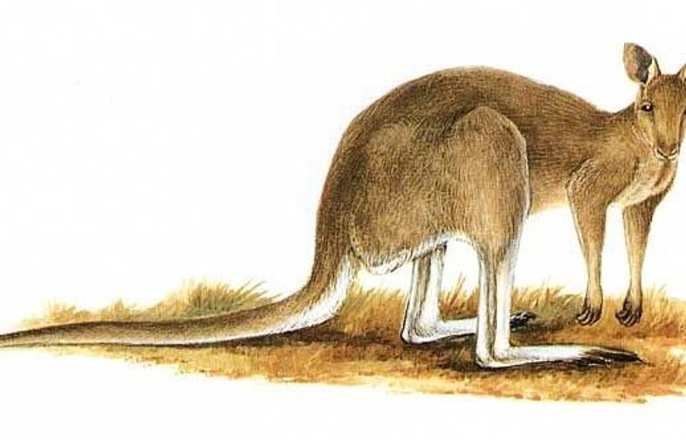 291 sightingsEastern Grey KangarooMost seen around 7 AMSighting map
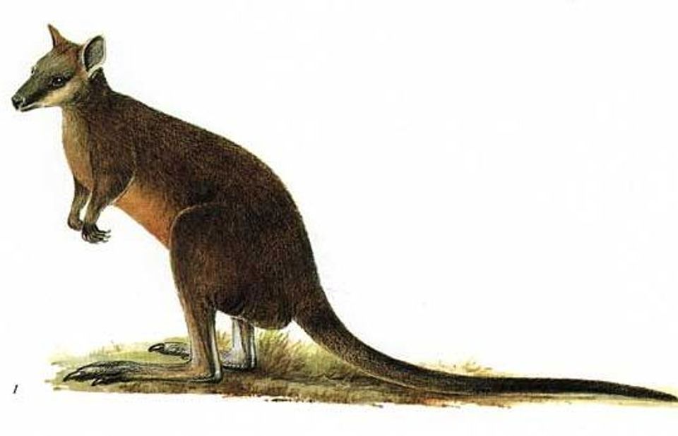 512 sightingsSwamp WallabyMost seen around 6 PMSighting map
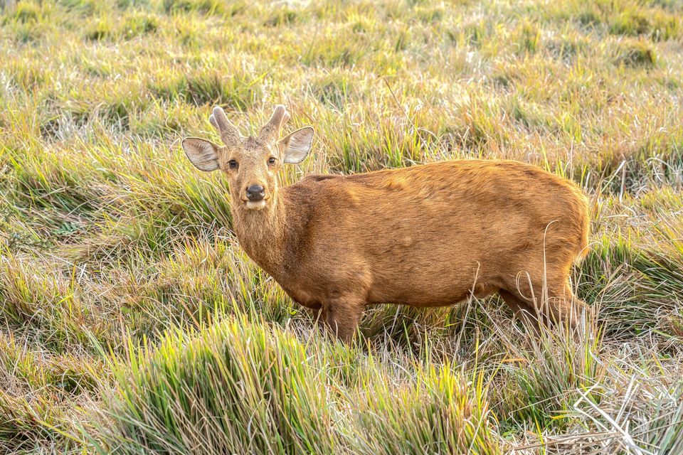 20 sightingsIndochinese Hog DeerMost seen around 7 AMSighting map
Sighting maps show where each species has been reported across Wilsons Promontory. Wildlife moves, so no sighting is guaranteed.
Keep exploring
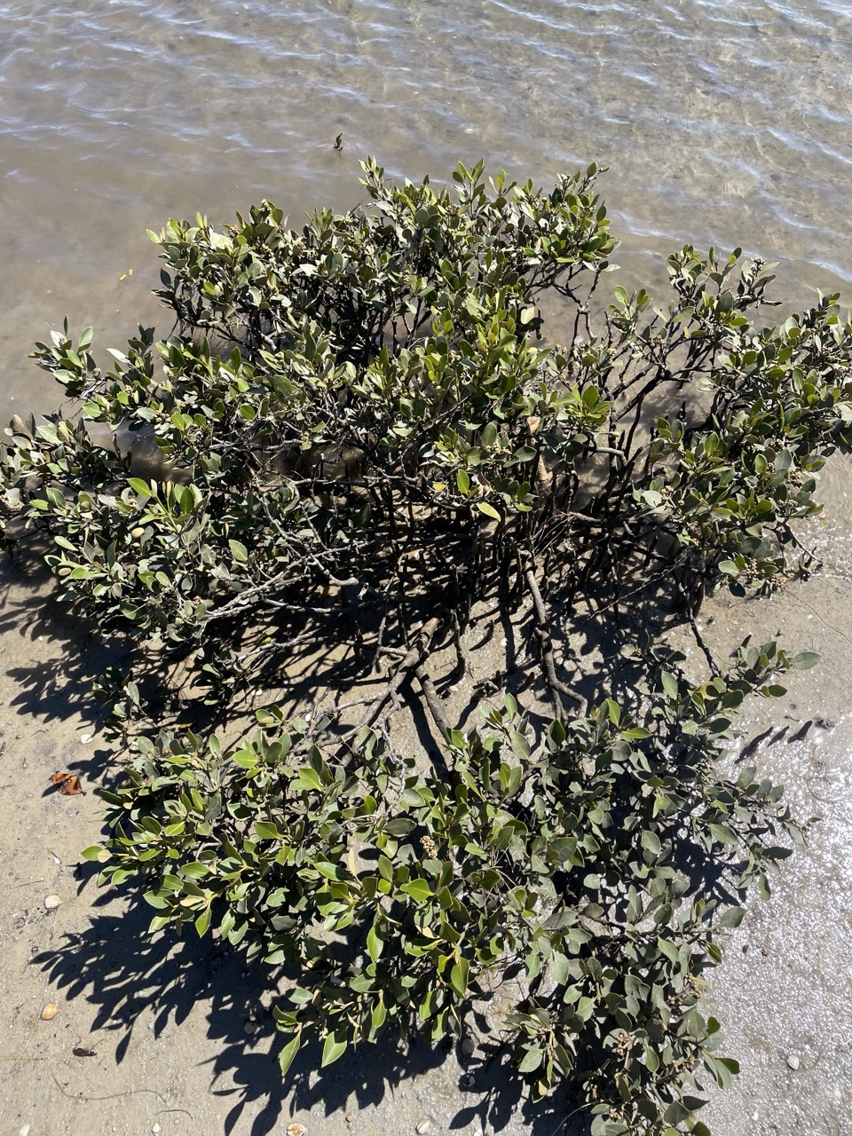 EasyMillers Landing Nature Walk4 km · 1.5 hr · At the trailheadA woodland stroll ends among the world’s southernmost mangroves.
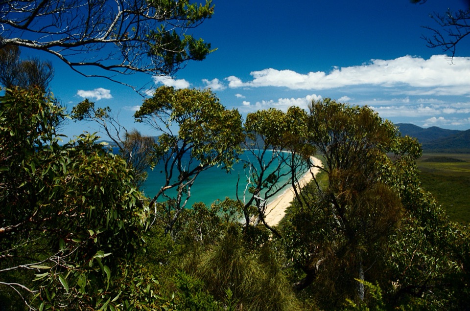 ChallengingWilsons Promontory Northern Circuit60 km · 1 day · At the trailheadA 60 km coastal loop for experienced wilderness navigators.
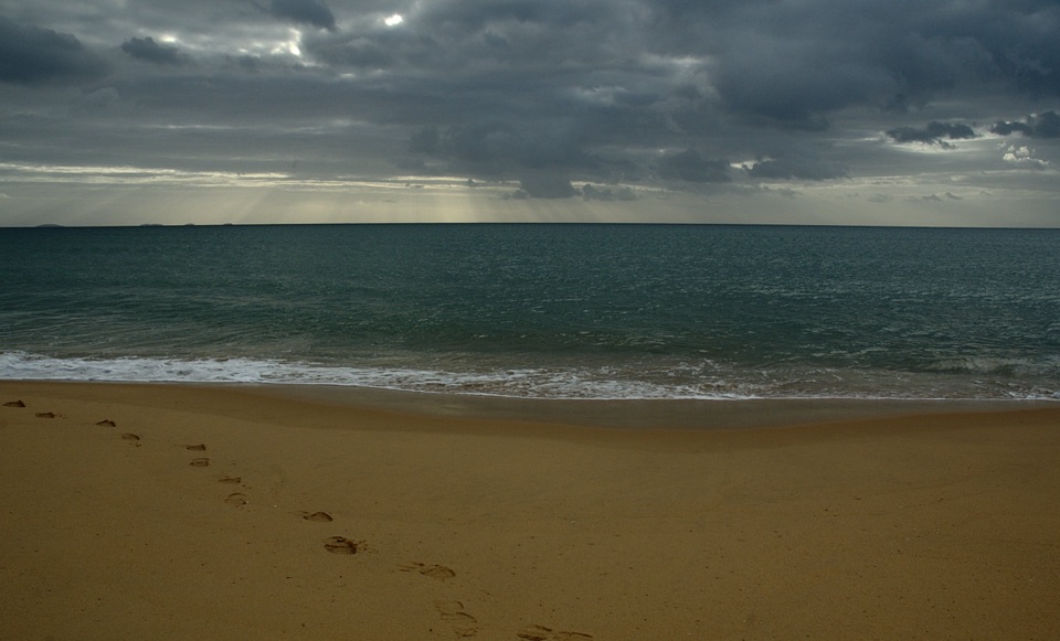 ChallengingFive Mile Beach Walk36.9 km · 12 hr · At the trailheadA long, exposed road march to a remote northern beach.
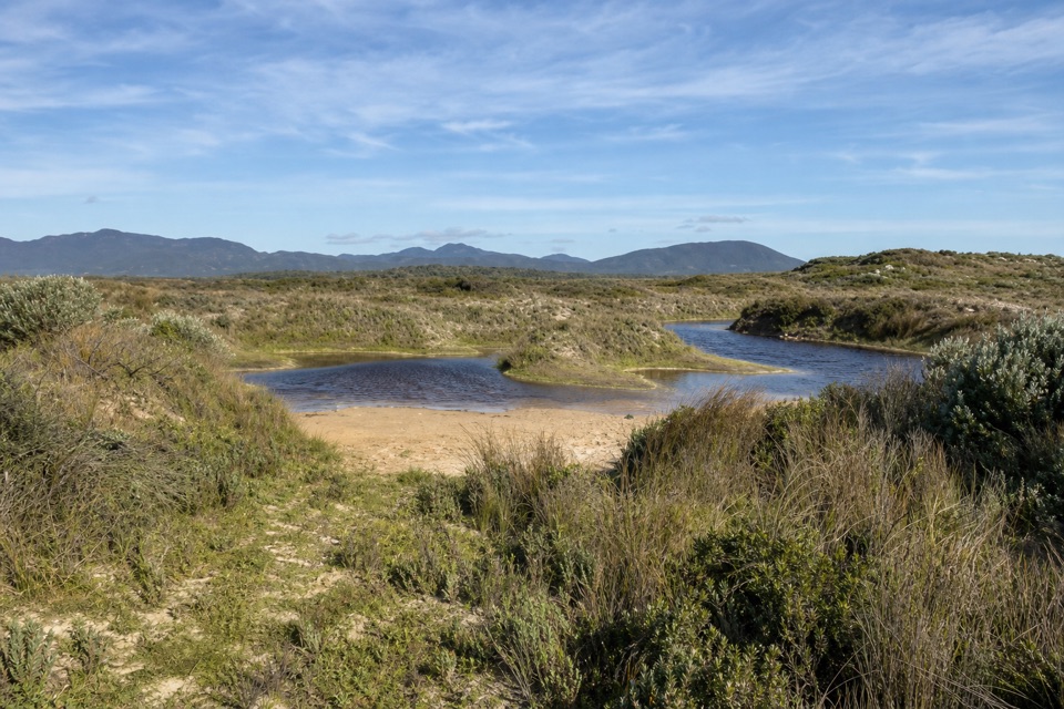 EasyCotters Lake and Beach Access Track2.4 km · 1 hr · 4.1 km awayCross the often-dry lake basin to a remote, windswept beach.
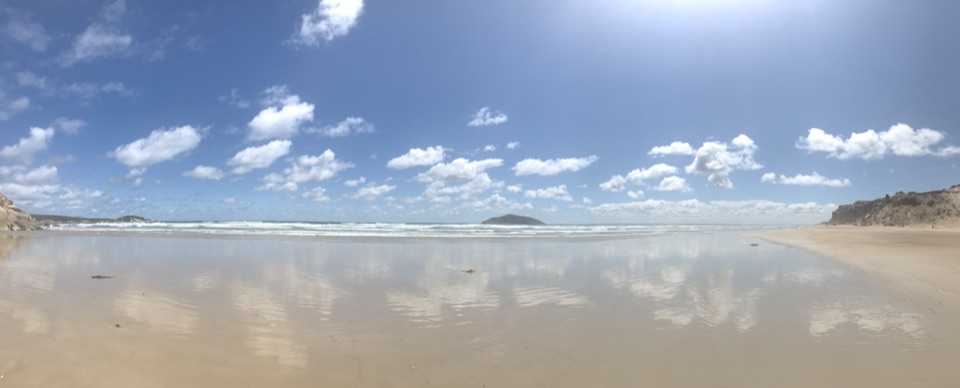 EasyDarby Beach Walk2.2 km · 40 min · 6.4 km awayA sandy river walk to a small beach between rocky headlands.
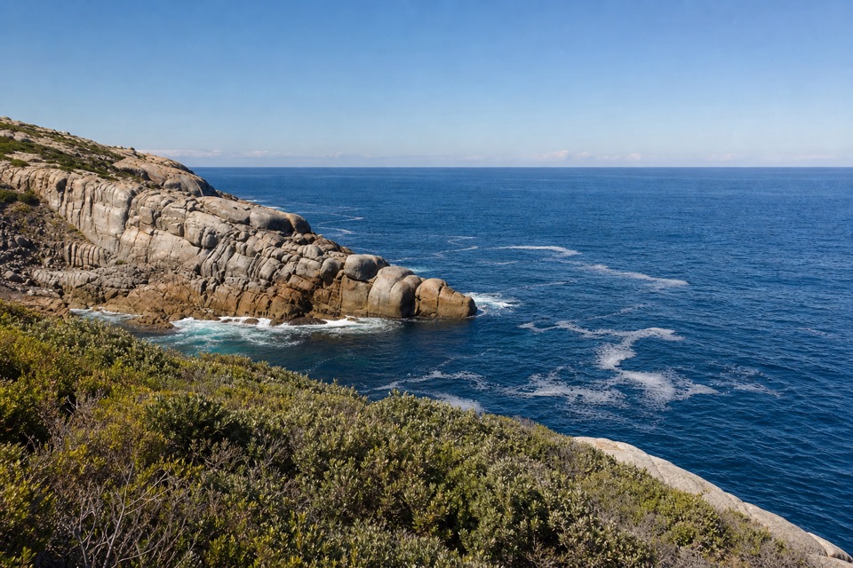 ModerateDarby River to Tongue Point Walk7.6 km · 4 hr · 6.4 km awayA granite headland hike with a Fairy Cove spur at low tide.
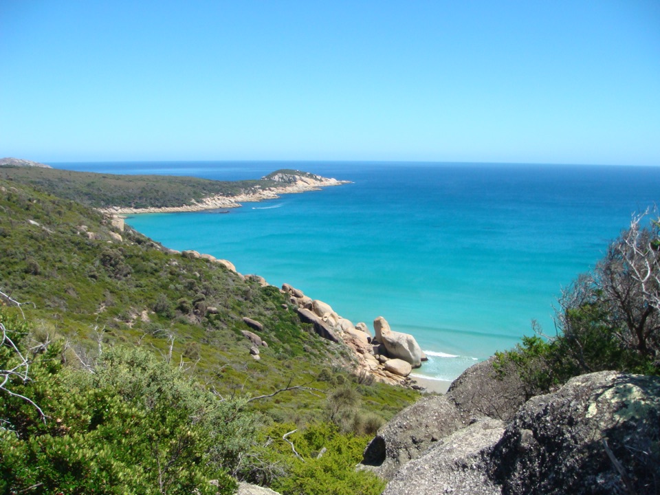 ChallengingDarby River to Darby Saddle via Tongue Point9.4 km · 4.5 hr · 6.4 km awayA coastal through-walk from Darby River to Darby Saddle.
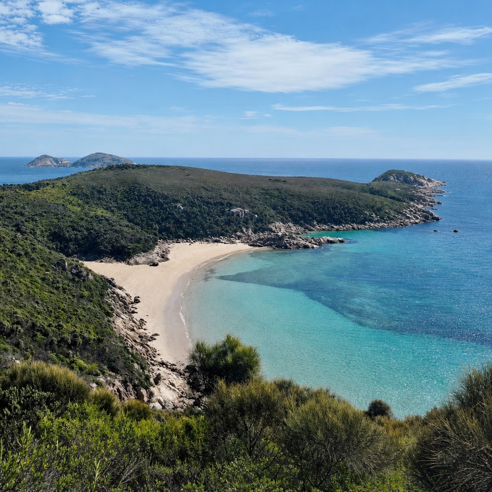 ModerateDarby River to Fairy Cove Walk5.6 km · 2 hr · 6.4 km awayA quiet cove worth timing your walk around low tide.
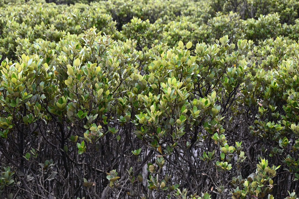 Sight · 1.9 km awayMillers LandingA 4 km woodland walk to the world's southernmost mangroves.
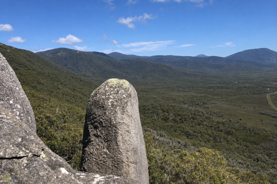 Sight · 2.3 km awayVereker OutlookBalanced boulders and big inlet views reward a steep walk.
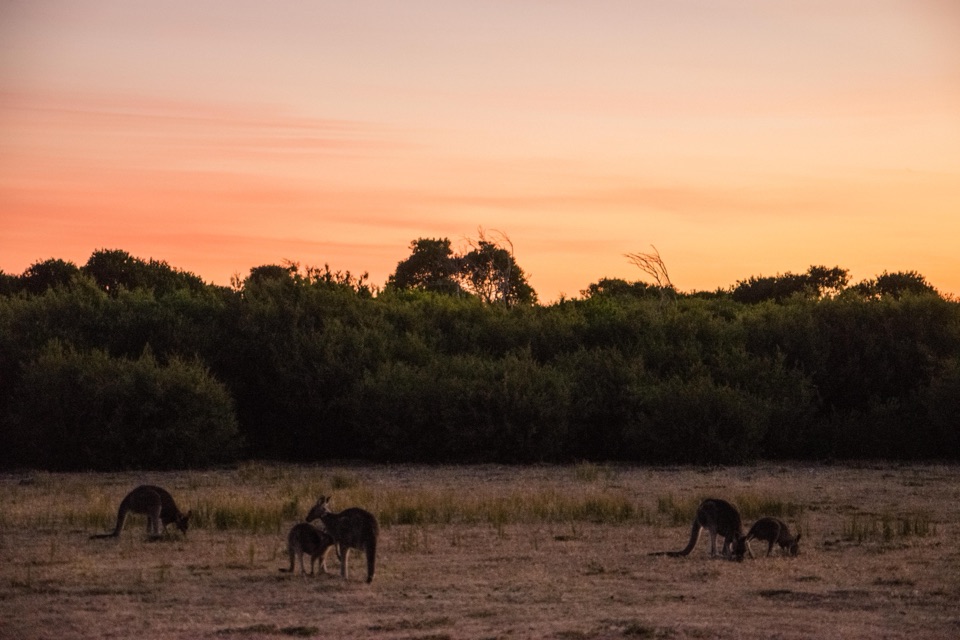 Sight · 4 km awayProm Wildlife Viewing AreaA roadside chance to spot kangaroos, wombats and emus.
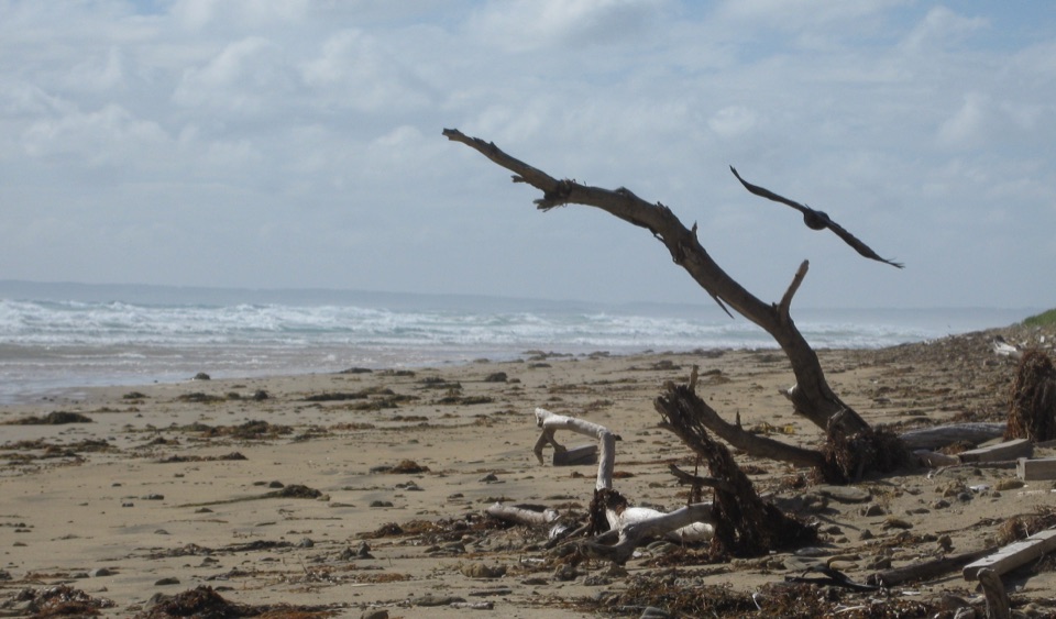 Beach · 5.2 km awayCotters BeachA dry lake basin walk opens onto an exposed west coast.
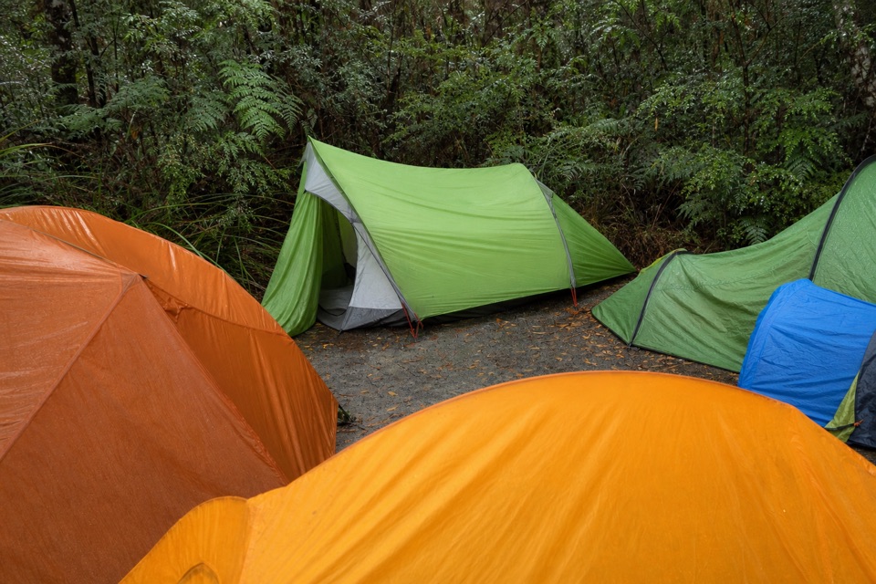 Campground · 5.5 km awayBarry Creek CampsiteA remote, permit-required camp for confident backcountry hikers.Beach · 6.5 km awayDarby BeachA short sandy walk opens onto a beach between rocky headlands.
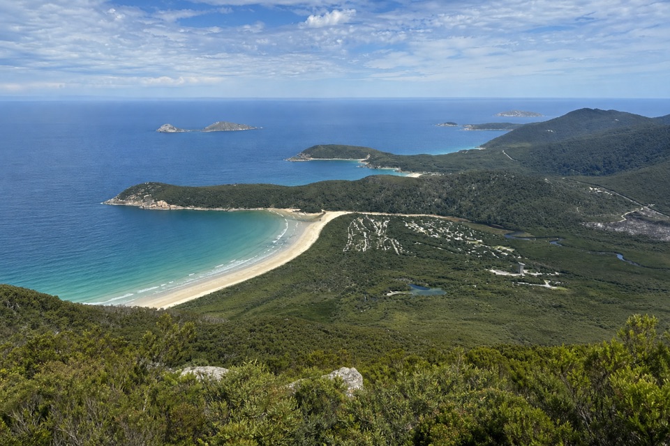 Campground · 7.3 km awayLower Barry Creek Camping AreaA no-frills overnight stop on a demanding northern wilderness circuit.
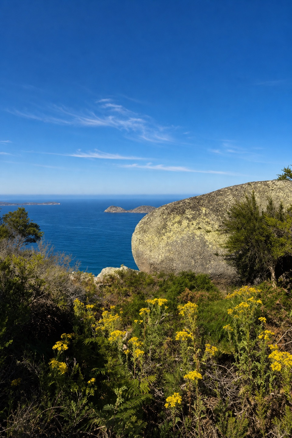 Sight · 8.1 km awayLookout RocksThe steep climb pays off with Norman Island and Tongue Point below.
Parkwolf’s Wilsons Promontory ranking
The audio tour guide for the drive, plus offline maps, trails, and wildlife heatmaps for when the signal drops.