Parking
Start at Lilly Pilly Gully Carpark. Toilets are available there; no water is available on the walk.
Wilsons Promontory National Park, VIC
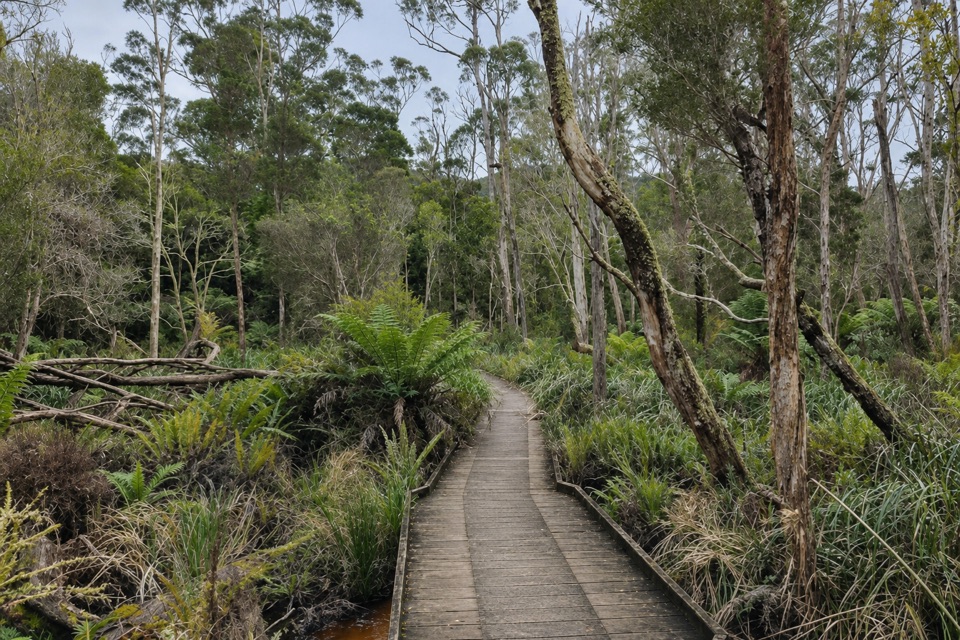
A forest loop that trades stringybark slopes for rainforest.
Overview
Map & elevation
Plan your hike

The highest, rockiest slopes around here are a summer buffet for grizzly bears.
Wilsons Promontory Tour Guide
Parkwolf is a GPS audio tour guide for Wilsons Promontory National Park. As you drive, it chimes in with what’s ahead: hidden gems, upcoming stops, history, geology, and wildlife, right through your car’s speakers.
Recorded for this trailhead
Lilly Pilly Gully and Mount Bishop“You're approaching Lilly Pilly Gully Carpark, where the Mount Bishop climb begins.”
Plays as you drive up to this trailhead in the Parkwolf Wilsons Promontory Tour Guide.
More stories near here in the app
“Fantastic app with many points of information… It’s great to just turn on while you’re driving and it gives you an audio tour of the national Park. We love it!!!!”


Trail guide
Lilly Pilly Gully Circuit Walk is a 5.8 km loop from Lilly Pilly Gully Carpark. It crosses Mount Bishop’s southern face through stringybark forest, drops into the gully, then returns by the Lilly Pilly Nature Walk. Allow about two hours. The draw is the change of scenery: open forest on the slope gives way to lush, warm-temperate rainforest. Pick this when you want a varied half-day walk without taking on a summit climb.
The circuit climbs across Mount Bishop’s lower southern face before turning back toward the gully. Parks Victoria grades it Grade 3; expect uneven footing, and the track can be slippery. It’s more work than a flat wander to the boardwalk, though it does not climb to Mount Bishop’s rocky summit. The 5.8 km figure is for the full circuit from the carpark, not a walk from Tidal River or an out-and-back to the gully.
The return drops into Lilly Pilly Gully and follows the Nature Walk back to the carpark. The enclosed rainforest and its timber boardwalk make a clear change from the stringybark slope. If the gully is your main interest, the separately signed Nature Walk is the shorter route; it includes the boardwalk without the circuit’s Mount Bishop slope. The summit side-track is a separate extension, not part of the 5.8 km loop. It reaches a rocky top with views toward the west coast and offshore islands, but Parks Victoria warns of unprotected cliffs there.
Start at Lilly Pilly Gully Carpark, where toilets are available. There is no water on the walk, so plan around that. Dogs are not allowed anywhere on this route. Keep to the carpark start when using the distance and time above; adding the Tidal River access track makes for a longer day.
Wildlife
 18 sightingsWedge-tailed EagleMost seen around 11 AMSighting map
 29 sightingsKoalaMost seen around 6 PMSighting map
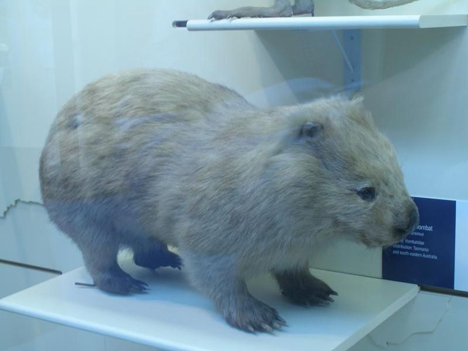 774 sightingsBare-nosed WombatMost seen around 6 PMSighting map
 291 sightingsEastern Grey KangarooMost seen around 7 AMSighting map
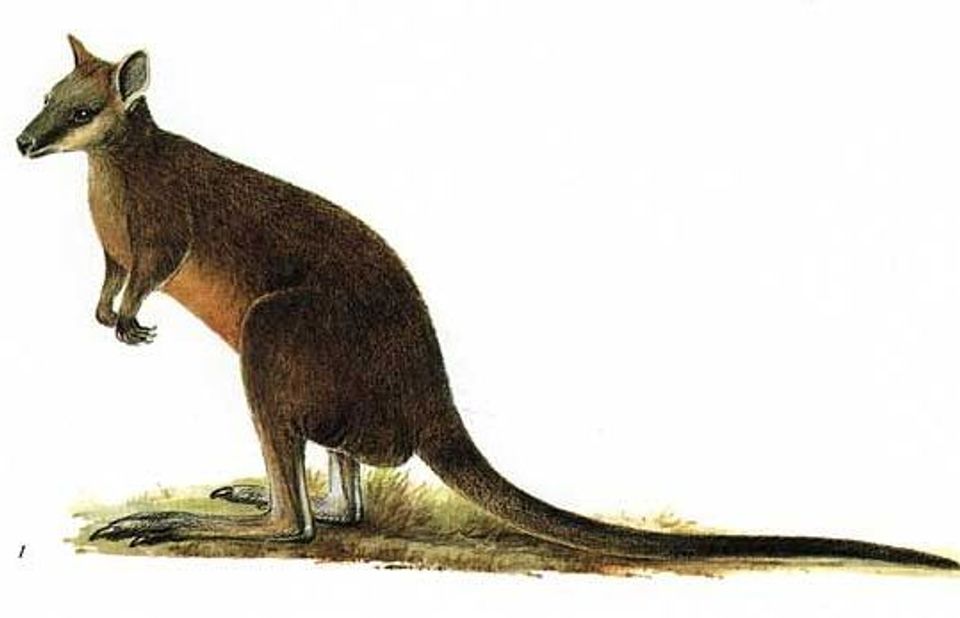 512 sightingsSwamp WallabyMost seen around 6 PMSighting map
 20 sightingsIndochinese Hog DeerMost seen around 7 AMSighting map
Sighting maps show where each species has been reported across Wilsons Promontory. Wildlife moves, so no sighting is guaranteed.
Keep exploring
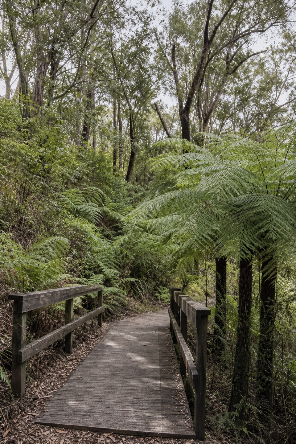 EasyLilly Pilly Gully Nature Walk5.2 km · 1.5 hr · At the trailheadA shady boardwalk stroll into the Prom's rainforest interior.
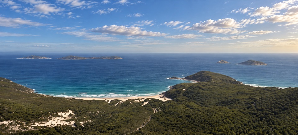 ModerateMount Bishop Summit Walk7.4 km · 2.5 hr · At the trailheadGranite summit rocks frame a broad view over beaches and islands.
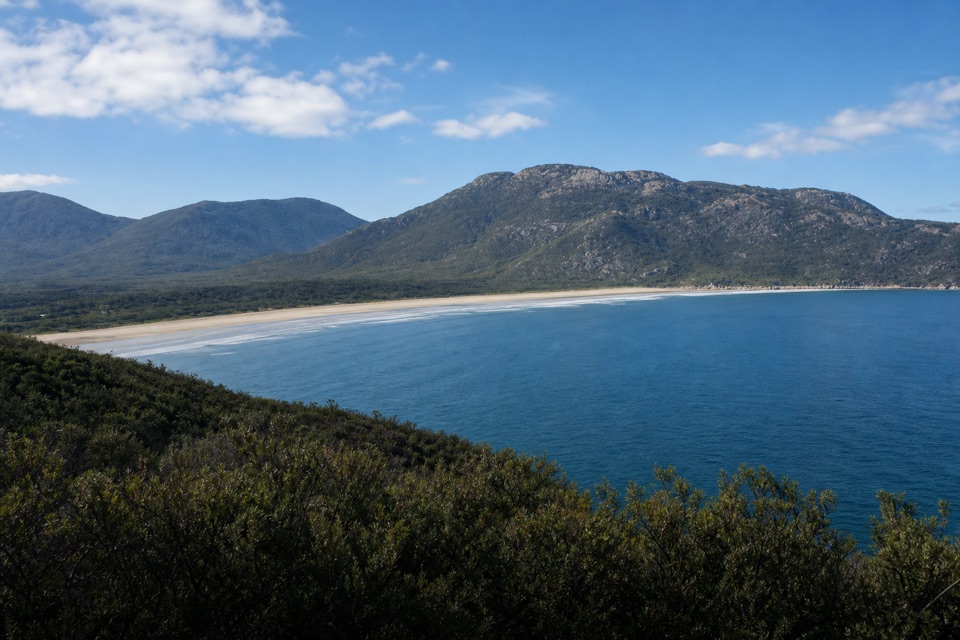 ModerateTidal Overlook Circuit3.8 km · 1.5 hr · 0.7 km awayA 3.8 km loop to broad coastal views above Norman Bay.
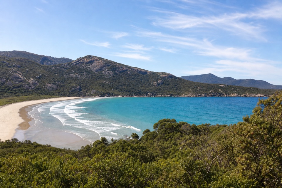 EasyLilly Pilly Link Walk1 km · 20 min · 0.7 km awayA short coastal-heath link with Norman Bay views
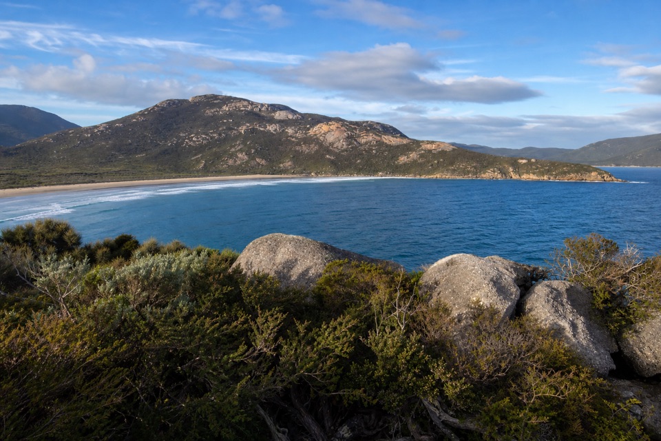 ModeratePillar Point Walk3.6 km · 1.5 hr · 0.7 km awayGranite, beaches and a broad Norman Bay view in 90 minutes.
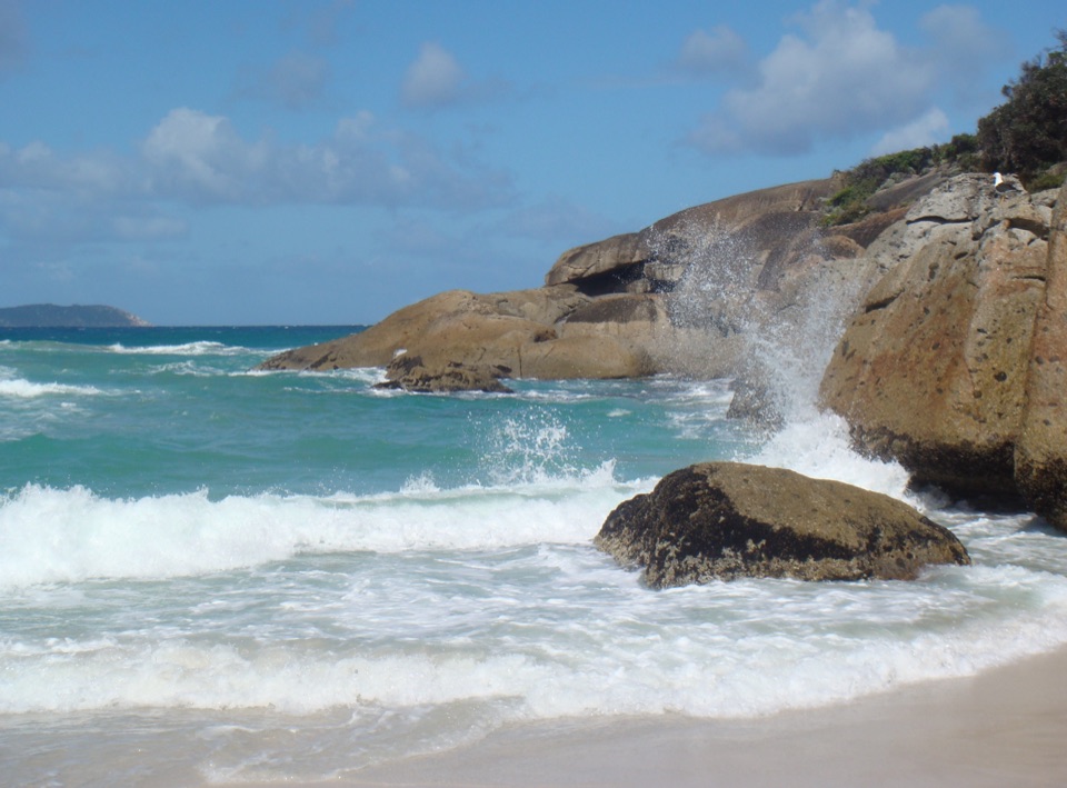 ModerateThree Bays Walk12.4 km · 4 hr · 0.8 km awayA creek crossing, three beaches and red rocks at the far end.
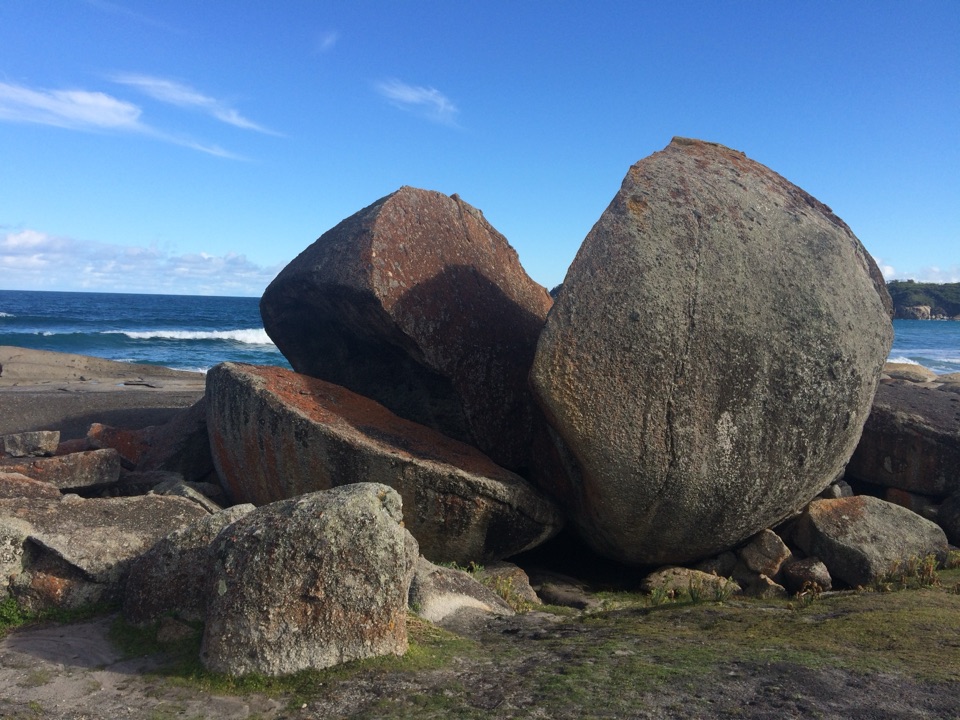 ModerateSqueaky Beach Walk4.2 km · 1.5 hr · 0.8 km awayA headland climb to squeaking sand and granite boulders.
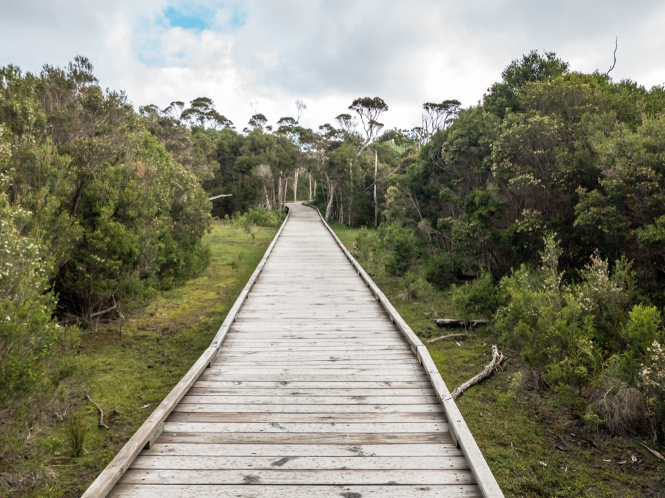 EasyLoo-Errn Track2 km · 1 hr · 0.9 km awayA gentle wetland boardwalk beside Tidal River, with four fishing platforms.
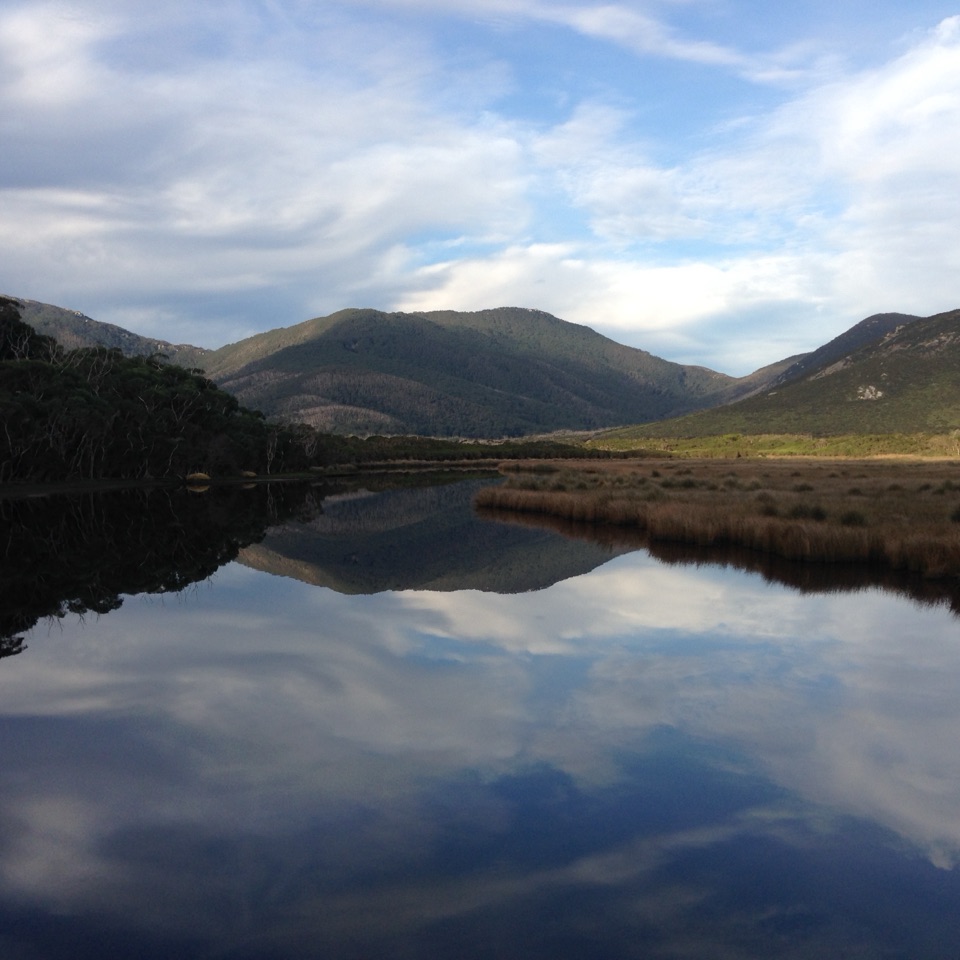 Sight · 0.7 km awayMount BishopA rocky summit, with Squeaky Beach and islands spread below.
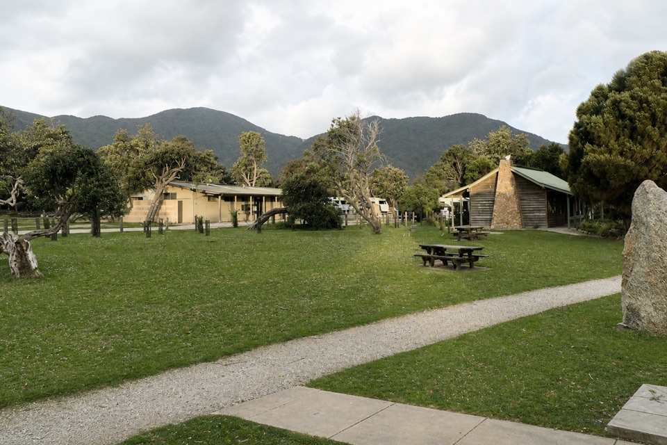 Lodging · 0.8 km awayTidal River AccommodationRoofed stays at the hub, with Norman Beach a short walk away.
 Sight · 0.9 km awayTidal OverlookA rocky circuit with far-reaching views across the bays.
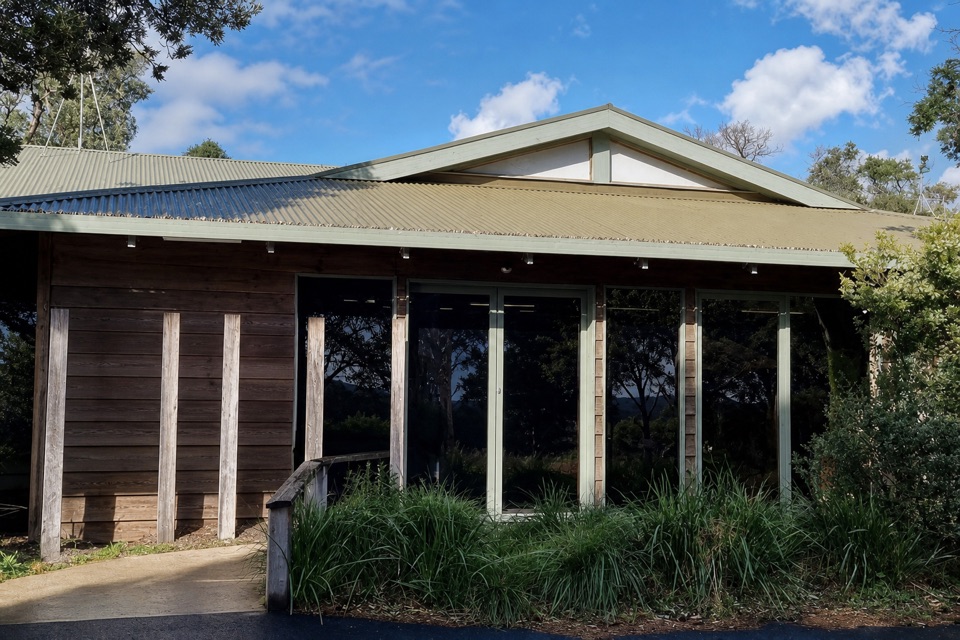 Visitor center · 0.9 km awayTidal River Visitor CentreMaps, permits and local advice make this a useful first stop.
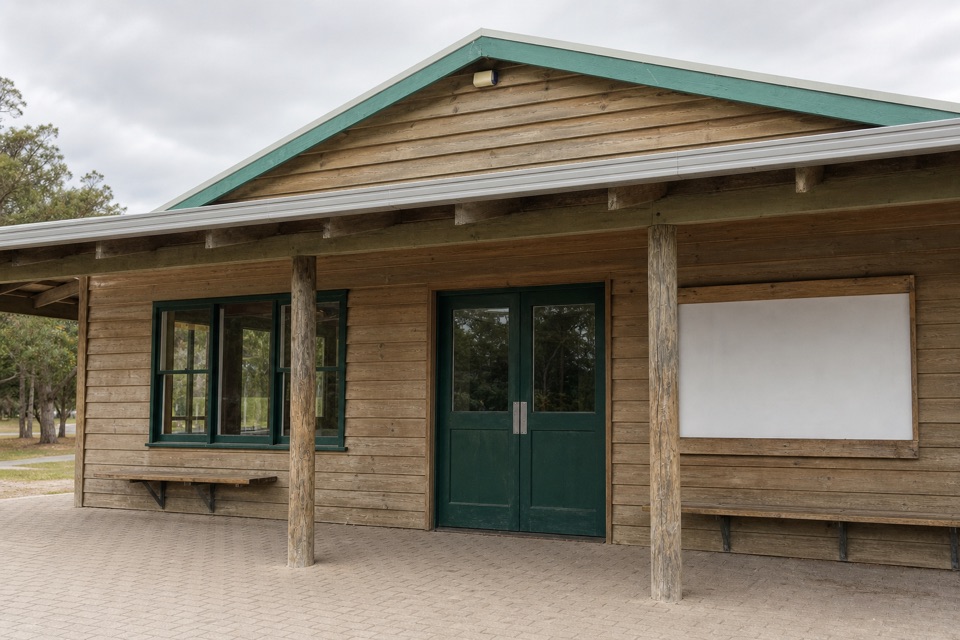 Store · 1 km awayTidal River General StoreA practical top-up and takeaway stop in the main campground.
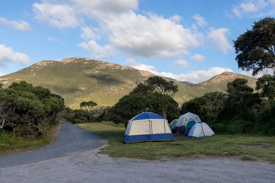 Campground · 1.1 km awayTidal River CampgroundA beach-and-river campground with the visitor hub on site.Beach · 1.4 km awaySqueaky BeachA squeaking quartz shore, hemmed in by granite boulders.
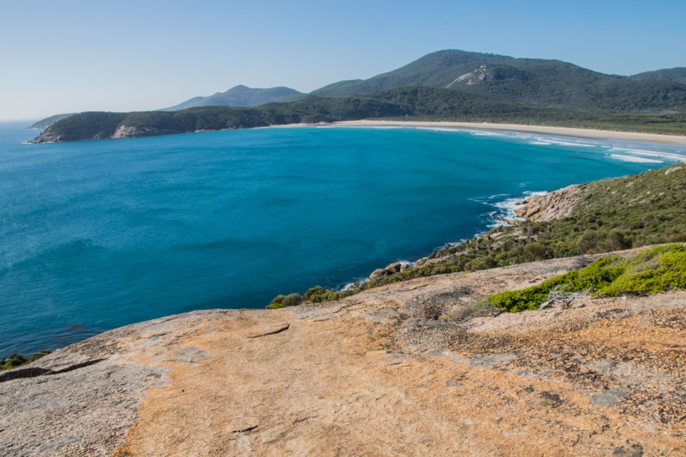 Beach · 1.4 km awayNorman BeachWalk a long, flat beach with Mount Oberon in view.
Parkwolf’s Wilsons Promontory ranking

The audio tour guide for the drive, plus offline maps, trails, and wildlife heatmaps for when the signal drops.