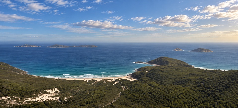
Southern Prom Extended Circuit in Wilsons Promontory National Park

Wilsons Promontory National Park, VIC

Southern Prom Extended Circuit

Five days of coves, a lighthouse, and mainland South Point.

Photo: Wikimedia Commons
Length
58.7km
Time
20hr
Elev. change
280m
Difficulty
Challenging
  • Loop
  • No dogs
  • High point 280 m
  • #18 of 36 in Wilsons Promontory

Hear the audio tour

The Walk to Wilsons Promontory Lightstation

Overview

About Southern Prom Extended Circuit

Why go

  • A coast-to-coast loop with remote coves, a granite lighthouse and South Point
  • Five days of changing beaches, forest and heath

Heads up

  • Tide-sensitive crossings and unreliable camp water require careful planning
  • A long inland return after the South Point detour

Map & elevation

The route

Loading the Wilsons Promontory map
Full map
Elevation0–280 m
TrailheadTelegraph Saddle Car Park-39.03268, 146.35544
Keep this map with you offline in the Parkwolf app

Plan your hike

Before you go

Parking

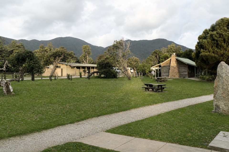
Start at Telegraph Saddle Car Park. During summer holiday periods, on weekends from Melbourne Cup to Easter, and on the Anzac long weekend, a free shuttle runs from Tidal River and the overnight hikers’ car park; Telegraph Saddle is closed to private vehicles during shuttle hours.

Safety

Level 4 remote hike. Blackfish Creek at Sealers Cove can be deep at higher tide; time the crossing carefully. Camp water is untreated and not guaranteed. Book overnight areas and carry/display the required permit; groups are limited to 12 and stays to two consecutive nights at each camp or the Lightstation. Mobile reception is unreliable; fires are prohibited throughout the park.

2 active Wilsons Promontory alerts

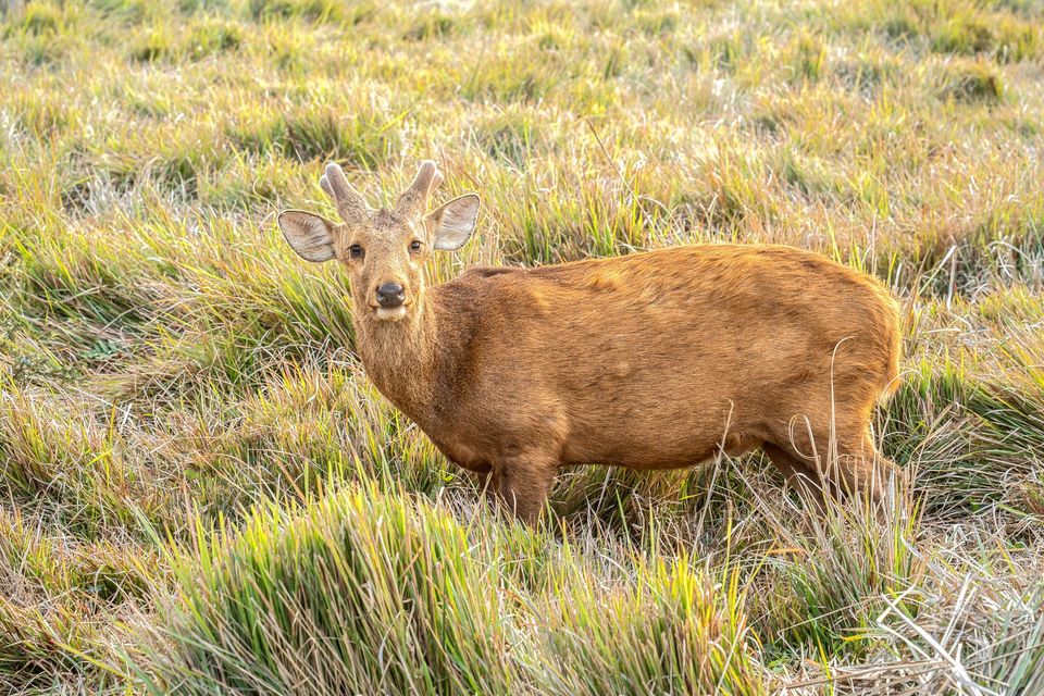
  • ClosureSouthern area closures and October deer-control restrictionsDo not enter the listed southern visitor areas during their closures, and plan around the October aerial deer-control operation.Official details
  • InfoEntrance traffic management and delaysAllow extra travel time and follow traffic controls at the Wilsons Promontory National Park entrance.Official details
Wilsons Promontory alerts
A park ranger sits on a dash-mounted phone, talking, as Parkwolf’s Tour Guide plays “Army Cutworm Moths: A Grizzly Bear Buffet” on Grand Loop Road below Dunraven Pass in Yellowstone
Parkwolf Tour GuideThe highest, rockiest slopes around here are a summer buffet for grizzly bears.

Wilsons Promontory Tour Guide

Your drive to Southern Prom Extended Circuit, narrated.

Parkwolf is a GPS audio tour guide for Wilsons Promontory National Park. As you drive, it chimes in with what’s ahead: hidden gems, upcoming stops, history, geology, and wildlife, right through your car’s speakers.

Recorded for this trailhead

The Walk to Wilsons Promontory Lightstation
0:00 / 0:30
“You're approaching the Telegraph Saddle access for Wilsons Promontory Lightstation, still nineteen kilometres away on foot.”

Plays as you drive up to this trailhead in the Parkwolf Wilsons Promontory Tour Guide.

More stories near here in the app

  • Mount Oberon from Telegraph Saddle
  • Sealers Cove from Telegraph Saddle
  • Norman Beach and Tidal River
  • Tidal River Visitor Hub
  • 22 audio storiesacross Wilsons Promontory’s roads, triggered by GPS as you drive
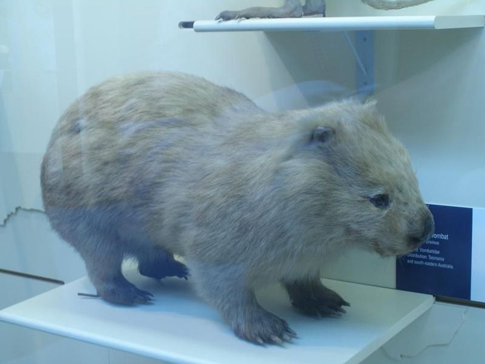
  • Wildlife heatmapsfor Wedge-tailed Eagle, Koala, Bare-nosed Wombat, and 13 more
  • Works offlinemaps, 36 trails, 46 places, and audio download before you lose signal
  • CarPlay readysimple controls built for the drive
★★★★★
“Fantastic app with many points of information… It’s great to just turn on while you’re driving and it gives you an audio tour of the national Park. We love it!!!!”
JMJamesApp Store review
Download Parkwolf on the App StoreGet Parkwolf on Google Play

4.7 from 8,600+ ratings

Trail guide

Hiking Southern Prom Extended Circuit

A five-day loop with a proper southern endThe Southern Prom Extended Circuit is a roughly 36.

The Southern Prom Extended Circuit is a roughly 36.5-mile (59-kilometre) loop from Telegraph Saddle Car Park. It links Sealers Cove, Refuge Cove and Little Waterloo Bay with Wilsons Promontory Lightstation. From the Lightstation, walk back through Roaring Meg, take the South Point out-and-back, then continue inland past Halfway Hut to the saddle. Plan on five days and about 20 hours of walking, with time to camp and stop at the bays. Treat it as a backcountry trip with several nights away; you will carry food and arrange camps in advance. Choose it if you want the southern peninsula in one trip. The shorter classic loop leaves out the Lightstation and South Point.

Coves, forest and the Kersops spurFrom the car park, the route drops through forest toward Sealers Cove, then crosses Blackfish…

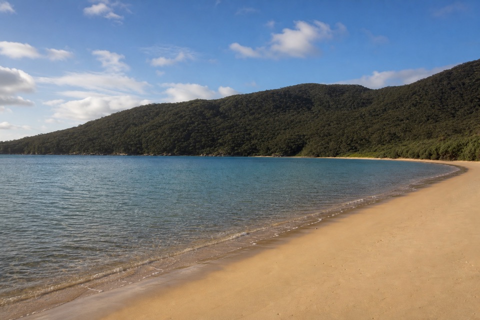
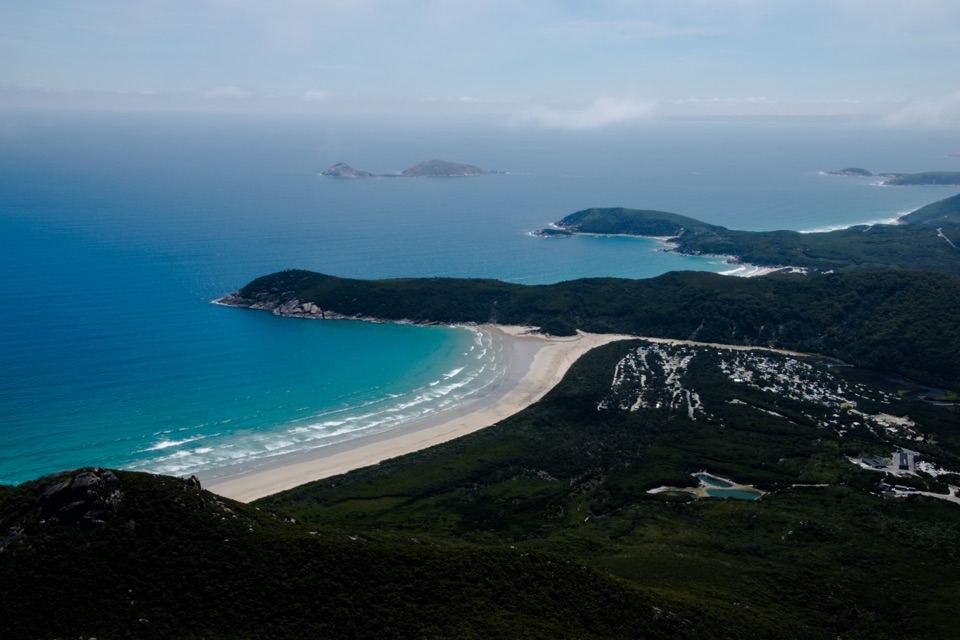
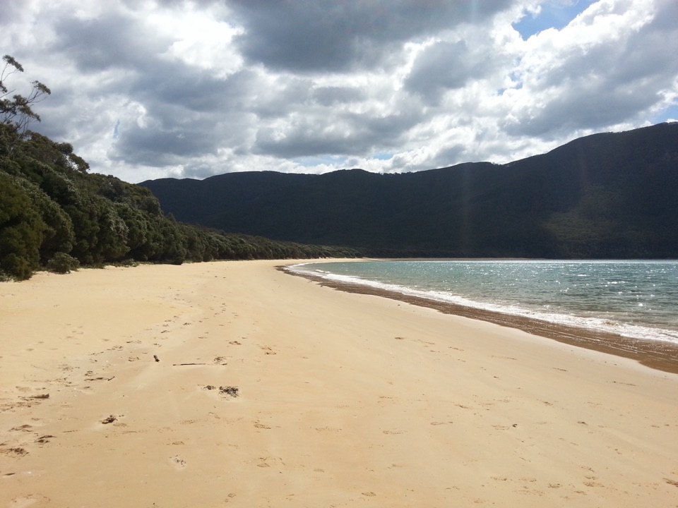
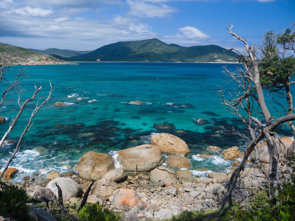
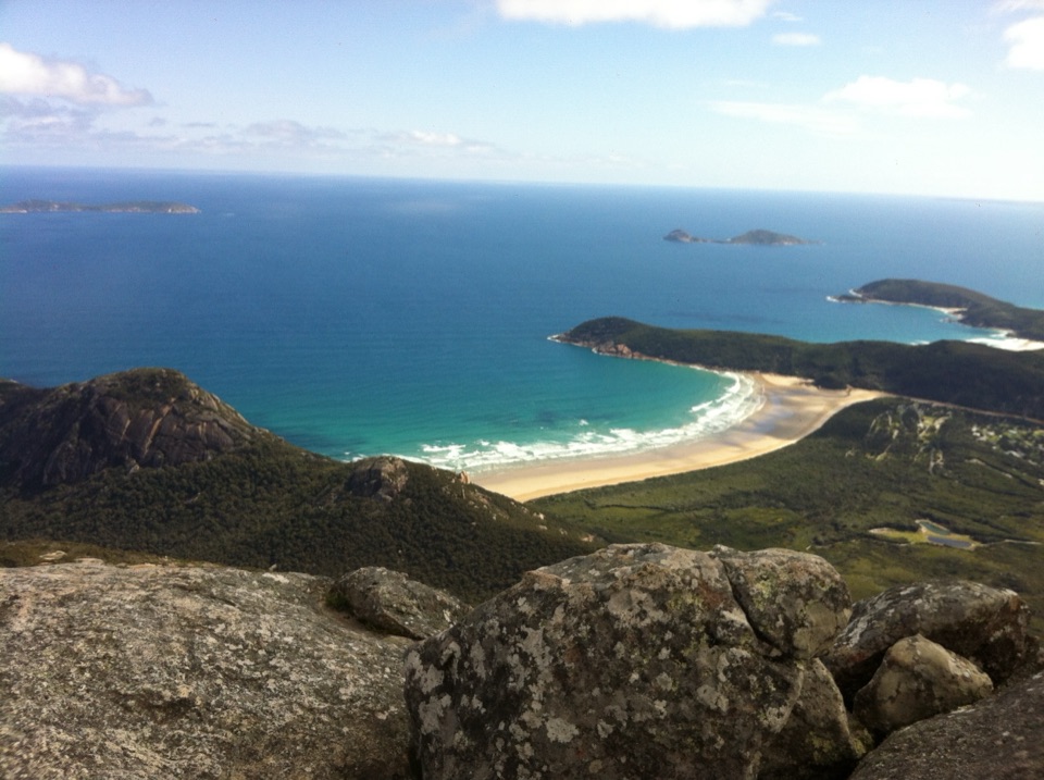
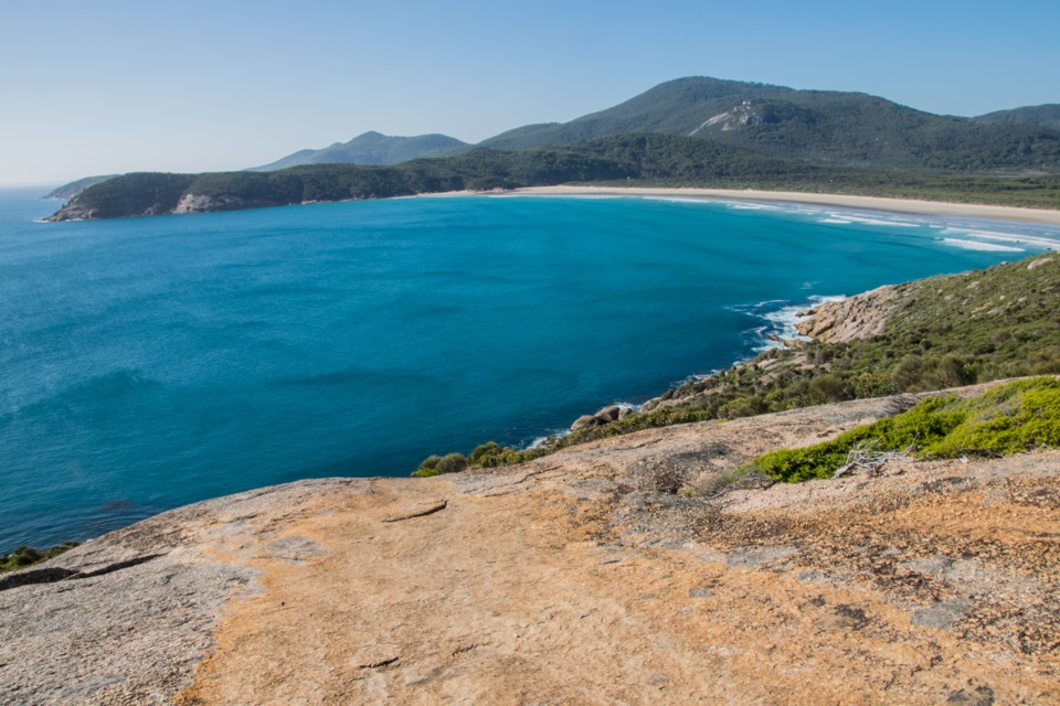
From the car park, the route drops through forest toward Sealers Cove, then crosses Blackfish Creek and climbs a headland before dropping to Refuge Cove. Tide matters here: the water can get deep across the creek. Beyond Refuge, forested slopes lead to the long beach at Little Waterloo Bay. A short optional climb to Kersops Peak opens a view back across Waterloo Bay toward the Lightstation. If you stop for a photo, keep both the curve of the bay and the lighthouse peninsula in the frame; it shows how far south you are. From Little Waterloo's far end, the route climbs steadily, skirts high coastal cliffs, then stays in forest for a long stretch before the Lightstation.

The Lightstation and mainland's southern endThe lighthouse sits on a rocky peninsula above Bass Strait.

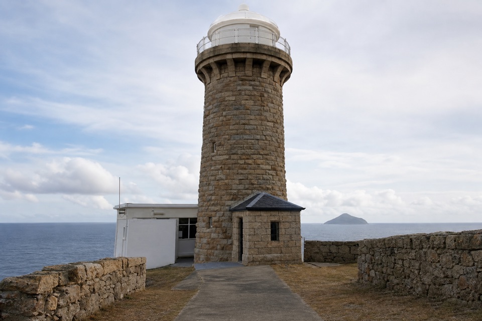
The lighthouse sits on a rocky peninsula above Bass Strait. It was built in 1859 from granite quarried nearby. The cottages are self-catering, so bring all your meals. After the Lightstation, the route turns inland through Roaring Meg. Its campsite sits by a fern-lined creek. The South Point track branches from here; budget about 7.4 kilometres and two hours for the return to the mainland's southernmost point. Then head north through open heath and past Halfway Hut to close the loop at Telegraph Saddle. It's a bigger ending than stopping at the Lightstation, but the South Point branch adds miles to an already long final stage.

Plan the practicalsThe park grades its Southern Hikes Level 4.

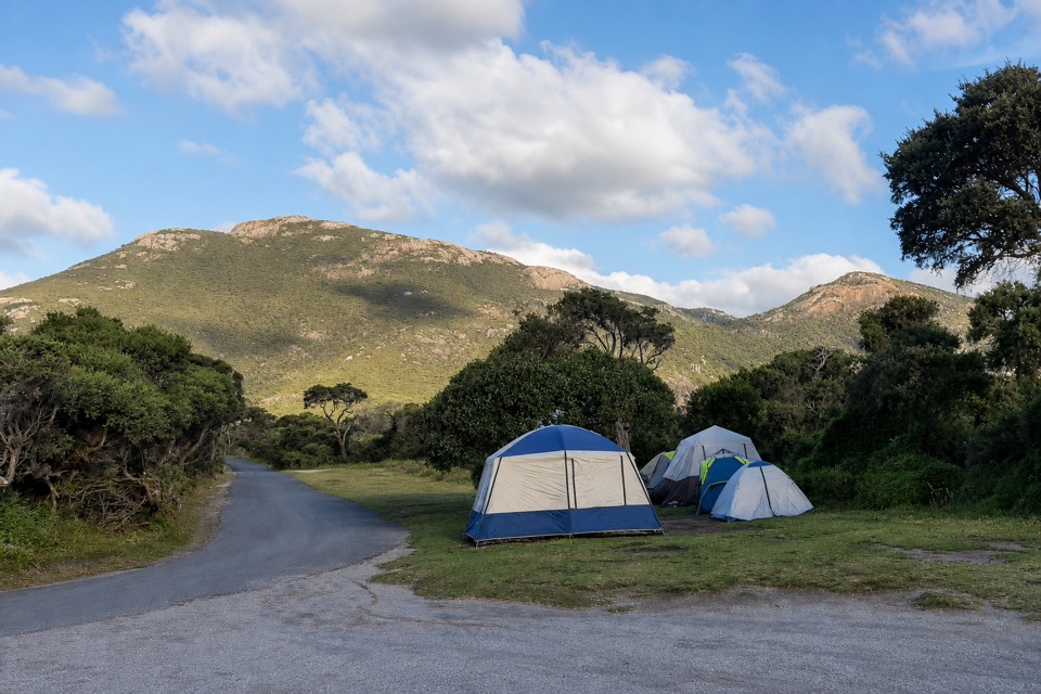
The park grades its Southern Hikes Level 4. Expect a demanding multi-day route with steep climbs, uneven ground, creek crossings and weather-dependent walking times. Book the overnight areas and carry/display the required permit. Camps and Lightstation accommodation are limited to two consecutive nights at each place; groups are capped at 12. Some camps have untreated creek or tank water, and supply isn't guaranteed, so plan to treat water and carry what you need. The Lightstation is self-catering. Mobile reception is unreliable, and fires are not permitted anywhere in the park. Telegraph Saddle is the start: on summer holiday periods, weekends from Melbourne Cup to Easter, and the Anzac long weekend, a free shuttle runs up from Tidal River and the overnight hikers' car park while the Saddle car park is closed to private vehicles. Pets aren't allowed.

Wildlife

Wildlife in Wilsons Promontory

All Wilsons Promontory wildlife maps

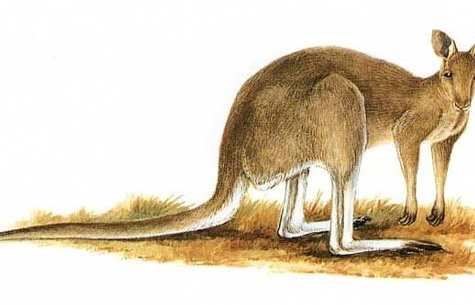
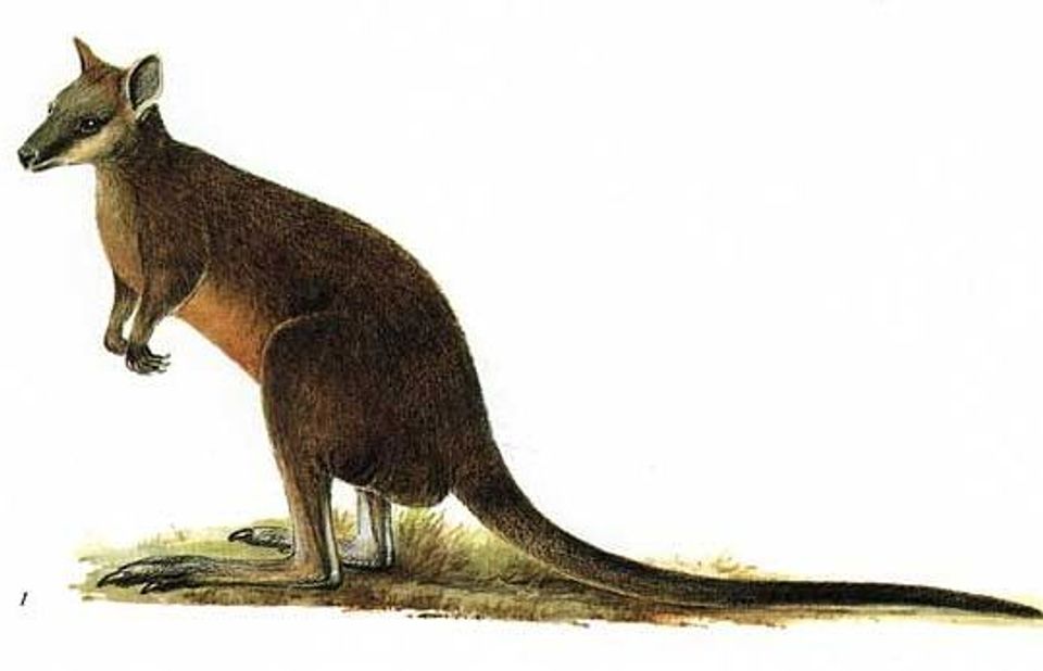
Sighting maps show where each species has been reported across Wilsons Promontory. Wildlife moves, so no sighting is guaranteed.

Keep exploring

Near Southern Prom Extended Circuit

See it all on the map

Trails that start nearby

Places near the trailhead

Parkwolf’s Wilsons Promontory ranking

Top-rated trails in Wilsons Promontory

All 36 trails
  1. 1Mount Oberon Summit WalkModerate · 6.8 km
  2. 2Southern Prom CircuitChallenging · 35.5 km
  3. 3Squeaky Beach WalkModerate · 4.2 km
  4. 4Sealers Cove WalkChallenging · 20 km
  5. 5Three Bays WalkModerate · 12.4 km
  6. 6Mount Bishop Summit WalkModerate · 7.4 km

Take Parkwolf to Wilsons Promontory.

The audio tour guide for the drive, plus offline maps, trails, and wildlife heatmaps for when the signal drops.

4.7 from 8,600+ ratings

Download Parkwolf on the App StoreGet Parkwolf on Google Play