Wilsons Promontory Lightstation Walk in Wilsons Promontory National Park

Wilsons Promontory National Park, VIC

Wilsons Promontory Lightstation Walk

A long forest walk ends at a lighthouse above the sea.

Length
19.1km
Time
5.5hr
Elev. change
266m
Difficulty
Challenging
  • No dogs
  • High point 280 m
  • #17 of 36 in Wilsons Promontory

Hear the audio tour

The Walk to Wilsons Promontory Lightstation

Overview

About Wilsons Promontory Lightstation Walk

Why go

  • A granite lighthouse and historic cottages at the end
  • A remote overnight destination reached on foot

Heads up

  • 19.1 km one way with no road access at the finish
  • Needs an advance overnight or onward-hiking plan

Map & elevation

The route

Loading the Wilsons Promontory map
Full map
Elevation14–280 m
TrailheadTelegraph Saddle Carpark-39.03268, 146.35544
Keep this map with you offline in the Parkwolf app

Plan your hike

Before you go

Parking

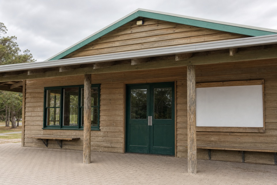
Start at Telegraph Saddle Carpark at the end of Mt Oberon Carpark Road. Toilets are available; there is no water. During peak periods the carpark closes to private vehicles and a free shuttle runs from Tidal River and Overnight Hikers Carpark.

Safety

This is a long, remote one-way hike with a steep final climb. There is no water at the trailhead; carry enough. Book any overnight campsite or Lightstation stay before starting. Pets are not allowed in the park.

2 active Wilsons Promontory alerts

  • ClosureSouthern area closures and October deer-control restrictionsDo not enter the listed southern visitor areas during their closures, and plan around the October aerial deer-control operation.Official details
  • InfoEntrance traffic management and delaysAllow extra travel time and follow traffic controls at the Wilsons Promontory National Park entrance.Official details
Wilsons Promontory alerts
A park ranger sits on a dash-mounted phone, talking, as Parkwolf’s Tour Guide plays “Army Cutworm Moths: A Grizzly Bear Buffet” on Grand Loop Road below Dunraven Pass in Yellowstone
Parkwolf Tour GuideThe highest, rockiest slopes around here are a summer buffet for grizzly bears.

Wilsons Promontory Tour Guide

Your drive to Wilsons Promontory Lightstation Walk, narrated.

Parkwolf is a GPS audio tour guide for Wilsons Promontory National Park. As you drive, it chimes in with what’s ahead: hidden gems, upcoming stops, history, geology, and wildlife, right through your car’s speakers.

Recorded for this trailhead

The Walk to Wilsons Promontory Lightstation
0:00 / 0:30
“You're approaching the Telegraph Saddle access for Wilsons Promontory Lightstation, still nineteen kilometres away on foot.”

Plays as you drive up to this trailhead in the Parkwolf Wilsons Promontory Tour Guide.

More stories near here in the app

  • Mount Oberon from Telegraph Saddle
  • Sealers Cove from Telegraph Saddle
  • Norman Beach and Tidal River
  • Tidal River Visitor Hub
  • 22 audio storiesacross Wilsons Promontory’s roads, triggered by GPS as you drive
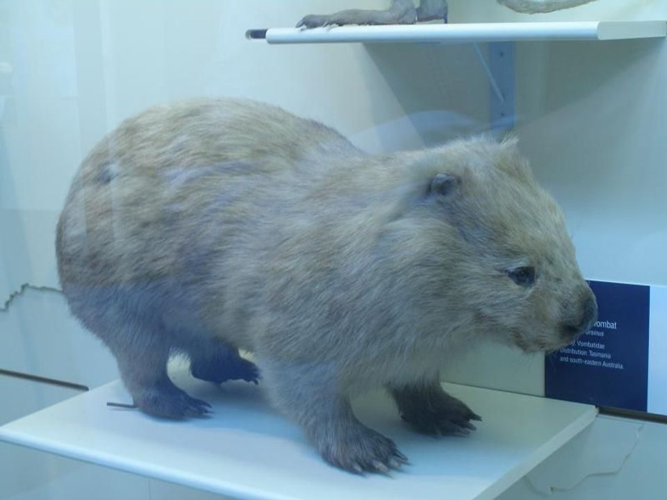
  • Wildlife heatmapsfor Wedge-tailed Eagle, Koala, Bare-nosed Wombat, and 13 more
  • Works offlinemaps, 36 trails, 46 places, and audio download before you lose signal
  • CarPlay readysimple controls built for the drive
★★★★★
“Fantastic app with many points of information… It’s great to just turn on while you’re driving and it gives you an audio tour of the national Park. We love it!!!!”
JMJamesApp Store review
Download Parkwolf on the App StoreGet Parkwolf on Google Play

4.7 from 8,600+ ratings

Trail guide

Hiking Wilsons Promontory Lightstation Walk

A long walk to the lighthouseWilsons Promontory Lightstation Walk is a 19.

Wilsons Promontory Lightstation Walk is a 19.1 km one-way point-to-point hike from Telegraph Saddle Carpark to the remote Lightstation compound. Allow five to six hours on foot. This is a long crossing, not a loop: the 19.1 km does not include a return, and walking back to the same carpark makes it about 38.2 km. The station is accessible only on foot, so decide before leaving whether you are retracing your steps, staying there, or continuing on a booked multi-day route. The Tidal River approach via Oberon Bay is a different, longer 23.8 km route.

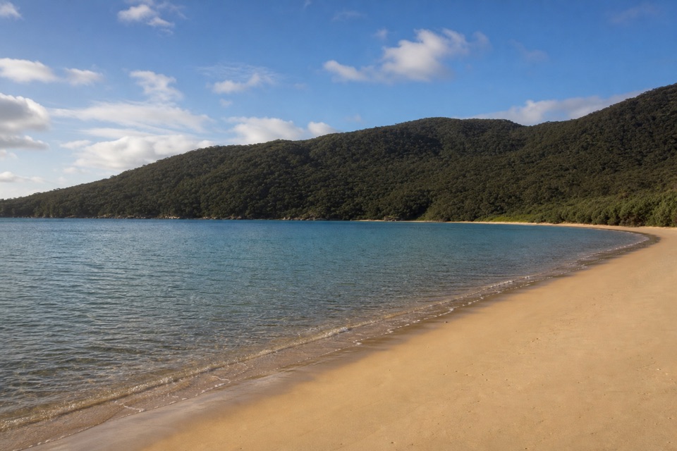
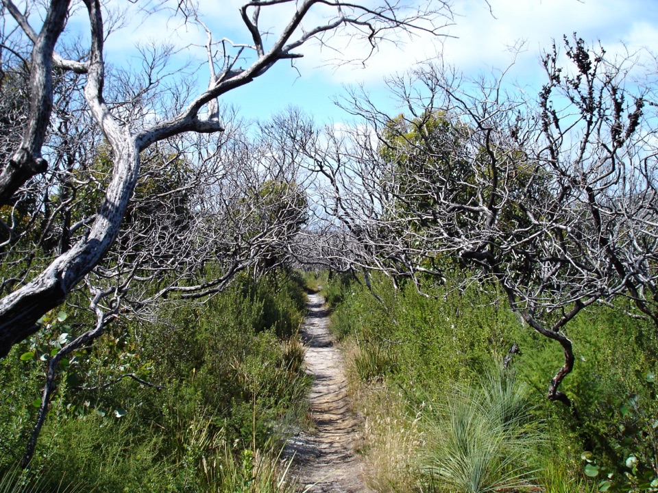
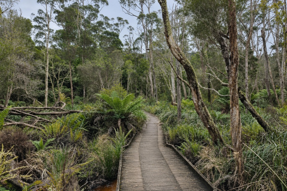
A long stretch on Telegraph TrackFrom the saddle, the route climbs through eucalypt forest and sandy coastal tea-tree scrub.

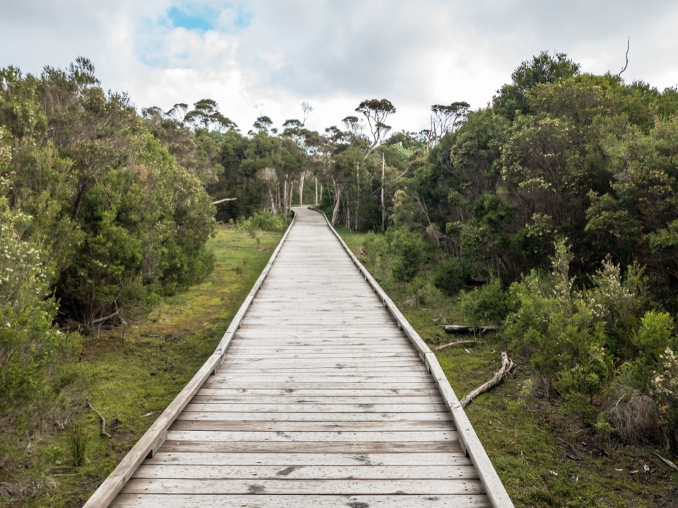
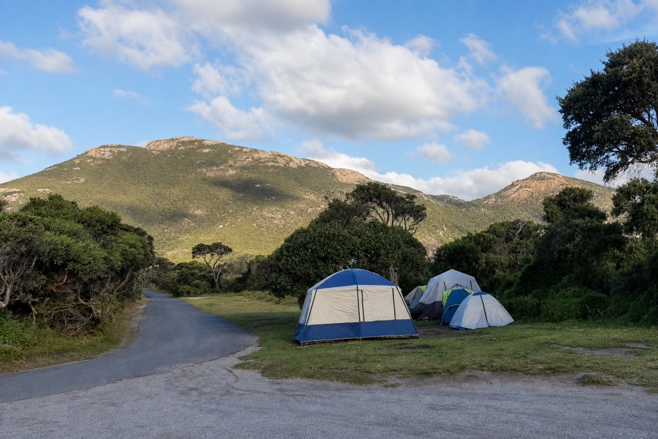
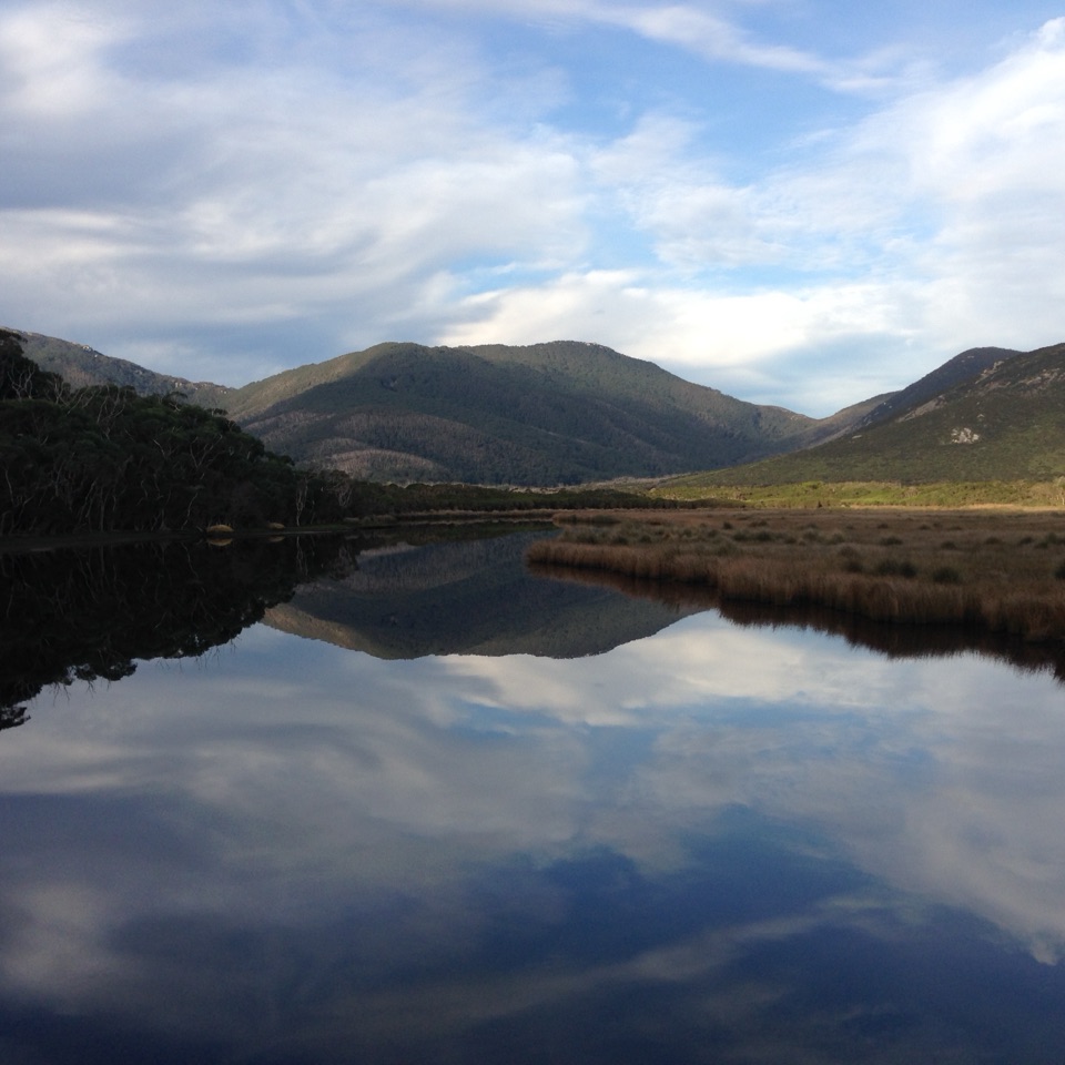
From the saddle, the route climbs through eucalypt forest and sandy coastal tea-tree scrub. Much of the journey follows the broad Telegraph Track, a management track rather than a narrow single-track path. The scenery changes gradually, so think of this as a sustained bush crossing with a remote lighthouse as its reward, not a string of beach stops. The track runs through the southern walking network; Roaring Meg is a fern-covered, bookable hike-in campsite in a creek gully nearby, but its access spur is separate from this direct mileage.

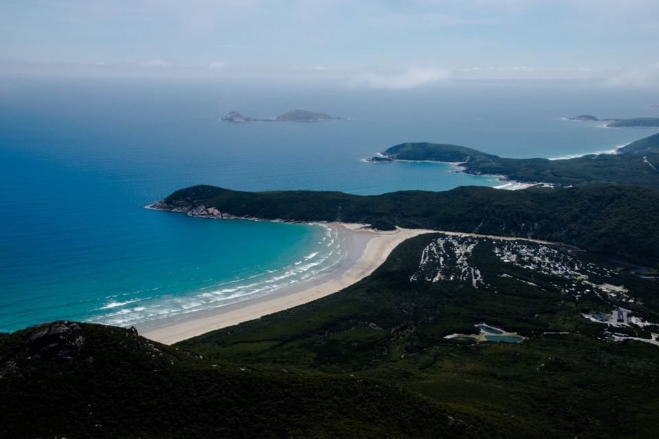
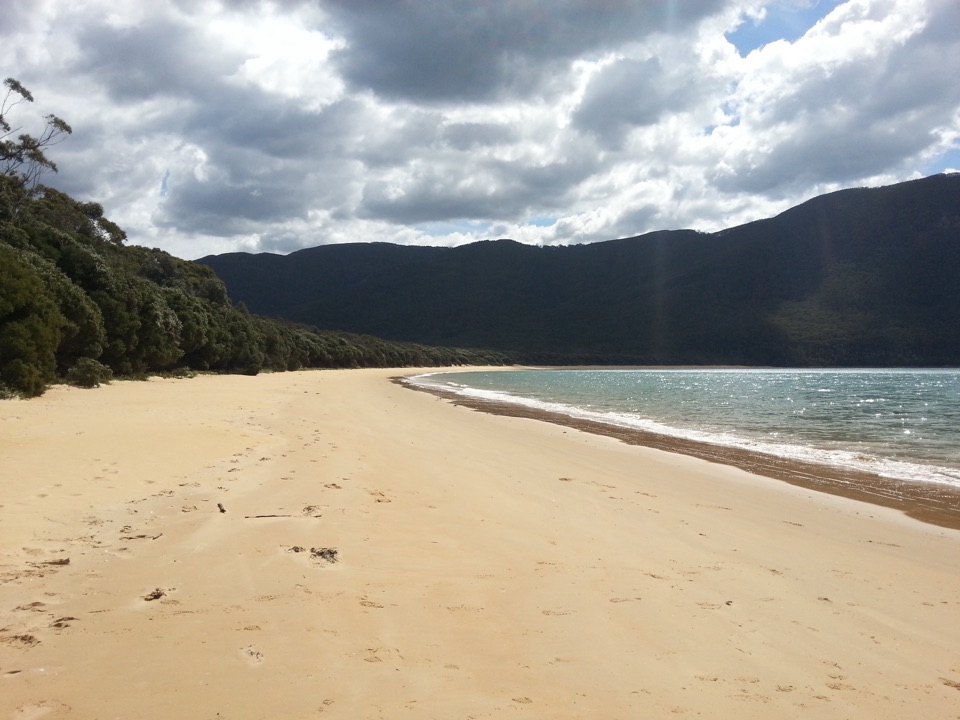
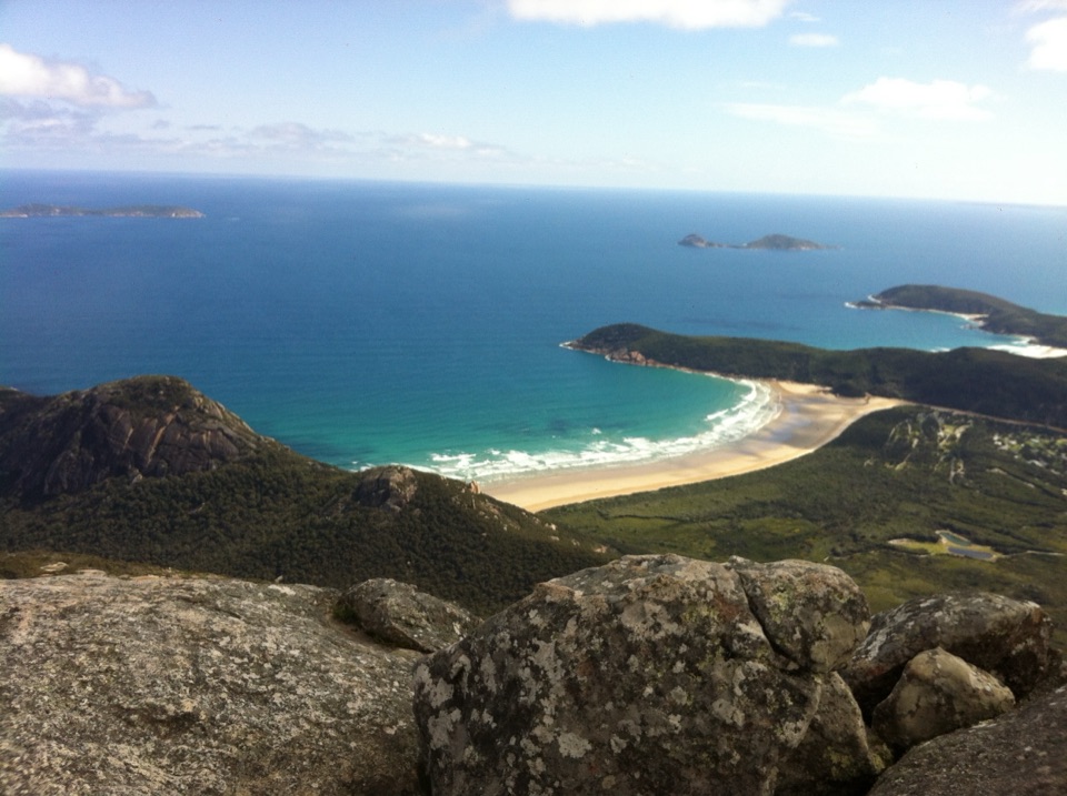
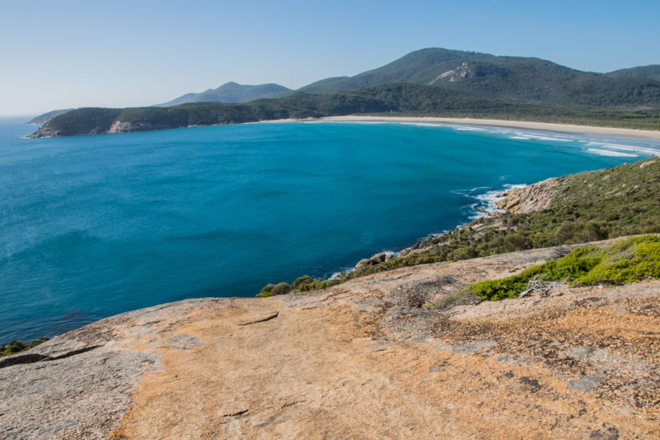
Farther south, the route turns toward the eastern coast and drops close to sea level before a steep final climb over granite to the cottages and tower. Save some energy for that last rise: after hours on the track, it is the sharpest change in effort. This is a strenuous distance day, especially with an overnight pack, but the mapped route follows established tracks rather than requiring navigation across open ground. South Point is a separate side trip and is not included in the 19.1 km.

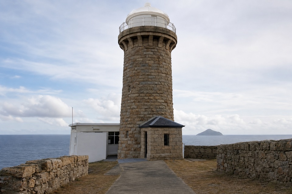
The station at the endThe lightstation was built in 1859 from local granite.

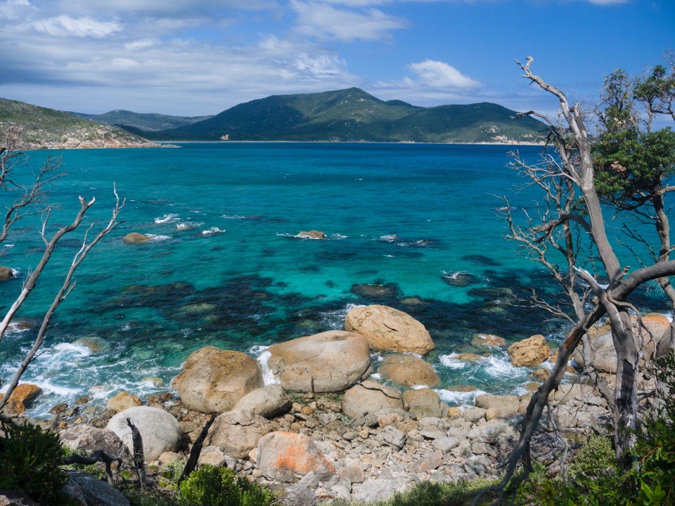
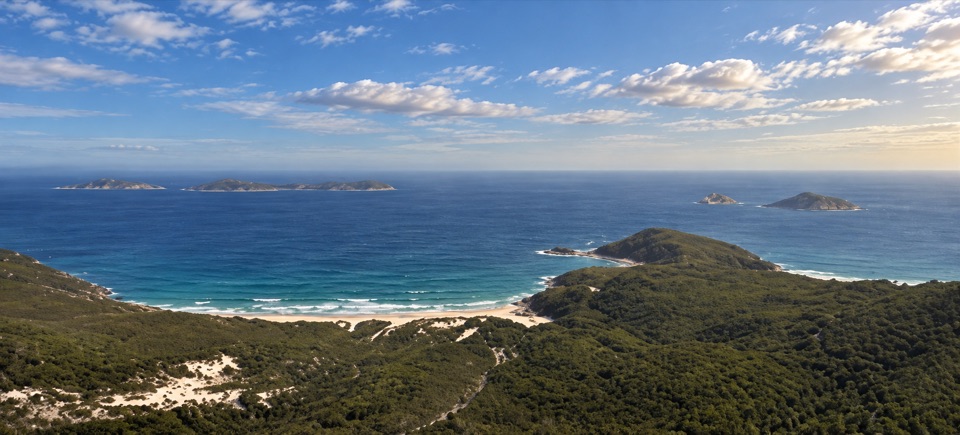
The lightstation was built in 1859 from local granite. Its tower and historic cottages sit on a small headland above the Southern Ocean, with offshore islands spread along the horizon. In the 1800s, supply ships arrived only every six months and the keepers had no outside communication; they and their families kept the light burning in a place that was genuinely cut off. Seeing the cottages beside the tower makes that isolation easier to picture than a plaque would.

If you have a booked cottage, there is a shared kitchen, but there is no food stop along this hike. Carry the meals you need and plan to cook at the station. For a photo, stand on the compound path and keep the granite tower, the low stone walls and a strip of ocean in the frame; the walls give the building a sense of scale and the sea shows just how far out it sits.

Sort out the access firstStart at Telegraph Saddle Carpark at the end of Mt Oberon Carpark Road.

Start at Telegraph Saddle Carpark at the end of Mt Oberon Carpark Road. There are toilets, but no water at the trailhead. During peak periods the carpark closes to private vehicles and a free shuttle runs from Tidal River and the Overnight Hikers Carpark; check the current shuttle timetable before travelling. Overnight hikers must have a booking before they start, whether they are staying in a designated hike-in campsite or at the Lightstation. The park does not allow pets. Begin at least six hours before sunset, as the official route advice recommends, and remember that there is no road access at the far end.

Wildlife

Wildlife in Wilsons Promontory

All Wilsons Promontory wildlife maps

Sighting maps show where each species has been reported across Wilsons Promontory. Wildlife moves, so no sighting is guaranteed.

Keep exploring

Near Wilsons Promontory Lightstation Walk

See it all on the map

Trails that start nearby

Places near the trailhead

Parkwolf’s Wilsons Promontory ranking

Top-rated trails in Wilsons Promontory

All 36 trails
  1. 1Mount Oberon Summit WalkModerate · 6.8 km
  2. 2Southern Prom CircuitChallenging · 35.5 km
  3. 3Squeaky Beach WalkModerate · 4.2 km
  4. 4Sealers Cove WalkChallenging · 20 km
  5. 5Three Bays WalkModerate · 12.4 km
  6. 6Mount Bishop Summit WalkModerate · 7.4 km

Take Parkwolf to Wilsons Promontory.

The audio tour guide for the drive, plus offline maps, trails, and wildlife heatmaps for when the signal drops.

4.7 from 8,600+ ratings

Download Parkwolf on the App StoreGet Parkwolf on Google Play