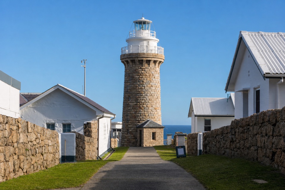
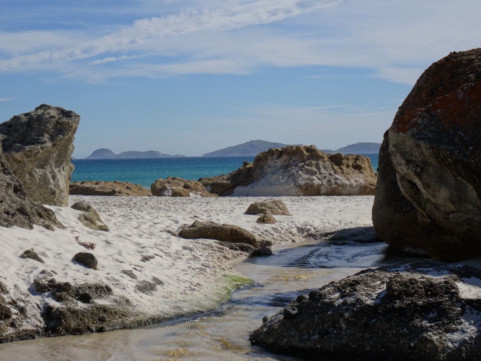
Little Oberon Bay in Wilsons Promontory National Park

Beach · Wilsons Promontory National Park

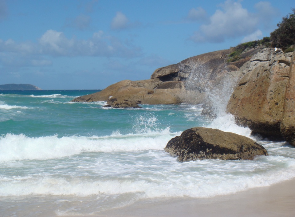
Little Oberon Bay

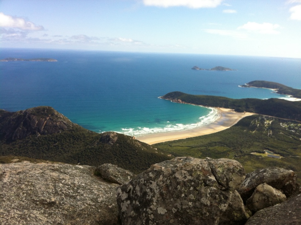
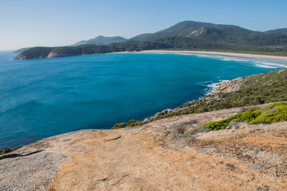
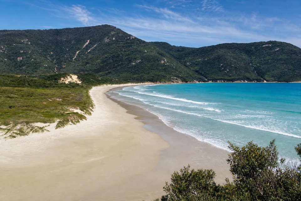
A compact beach with clear water, reached by a proper coastal walk.

Photo: Wikimedia Commons
Type
Beach
Nearest trail
2.3 km
Audio stories
7 nearby

Hear the audio tour

Norman Beach and Tidal River

Overview

About Little Oberon Bay

Why stop

  • Small, boulder-strewn shore with clear turquoise shallows

Heads up

  • The beach is an 8–9.5 km return walk from Tidal River

Map

Where it is

Loading the Wilsons Promontory map
Full map
BeachLittle Oberon Bay-39.05019, 146.33090
Keep this map with you offline in the Parkwolf app

Plan your stop

Before you go

2 active Wilsons Promontory alerts

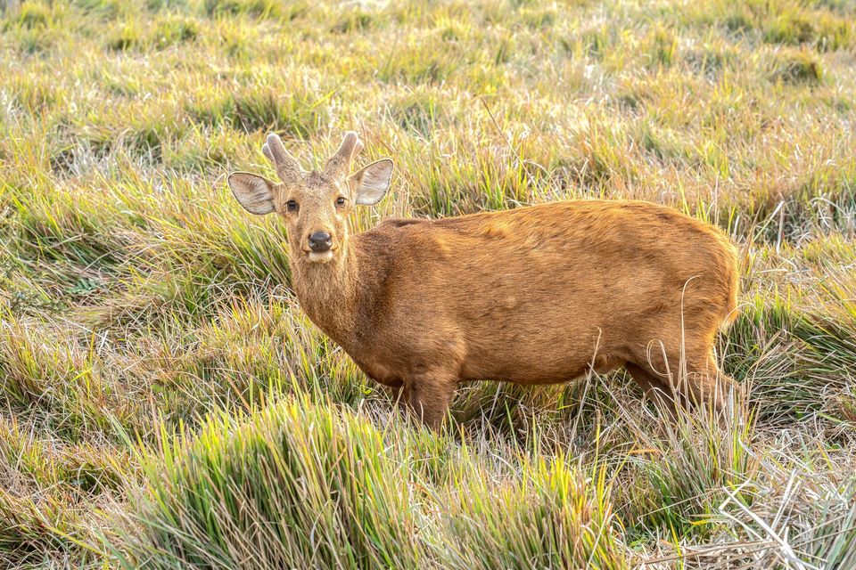
  • ClosureSouthern area closures and October deer-control restrictionsDo not enter the listed southern visitor areas during their closures, and plan around the October aerial deer-control operation.Official details
  • InfoEntrance traffic management and delaysAllow extra travel time and follow traffic controls at the Wilsons Promontory National Park entrance.Official details
Wilsons Promontory alerts
A park ranger sits on a dash-mounted phone, talking, as Parkwolf’s Tour Guide plays “Army Cutworm Moths: A Grizzly Bear Buffet” on Grand Loop Road below Dunraven Pass in Yellowstone
Parkwolf Tour GuideThe highest, rockiest slopes around here are a summer buffet for grizzly bears.

Wilsons Promontory Tour Guide

Your drive to Little Oberon Bay, narrated.

Parkwolf is a GPS audio tour guide for Wilsons Promontory National Park. As you drive, it chimes in with what’s ahead: hidden gems, upcoming stops, history, geology, and wildlife, right through your car’s speakers.

Recorded for this area

Norman Beach and Tidal River
0:00 / 0:31
“Up ahead is Norman Beach, a wide strip of firm sand just a short walk from Tidal River's campground.”

Plays on the road 2.1 km from Little Oberon Bay in the Parkwolf Wilsons Promontory Tour Guide.

More stories near here in the app

  • Tidal River Visitor Hub
  • Tidal River Footbridge and Tidal Overlook
  • Sealers Cove from Telegraph Saddle
  • The Walk to Wilsons Promontory Lightstation
  • 22 audio storiesacross Wilsons Promontory’s roads, triggered by GPS as you drive
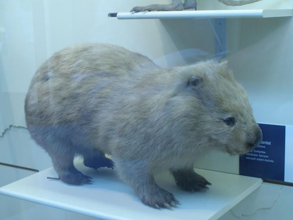
  • Wildlife heatmapsfor Wedge-tailed Eagle, Koala, Bare-nosed Wombat, and 13 more
  • Works offlinemaps, 36 trails, 46 places, and audio download before you lose signal
  • CarPlay readysimple controls built for the drive
★★★★★
“Fantastic app with many points of information… It’s great to just turn on while you’re driving and it gives you an audio tour of the national Park. We love it!!!!”
JMJamesApp Store review
Download Parkwolf on the App StoreGet Parkwolf on Google Play

4.7 from 8,600+ ratings

Guide

More about Little Oberon Bay

A small beach beside Oberon BayLittle Oberon Bay is a roughly 250-metre beach around the point south of Norman Beach on…

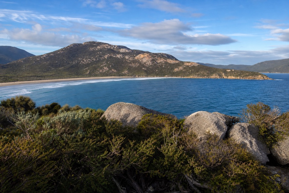
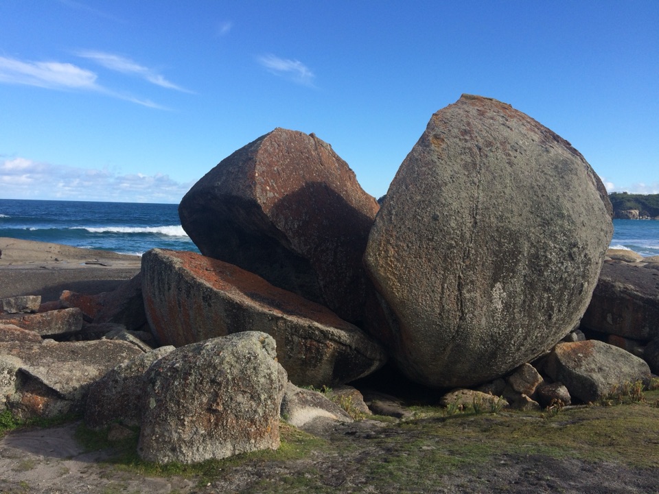
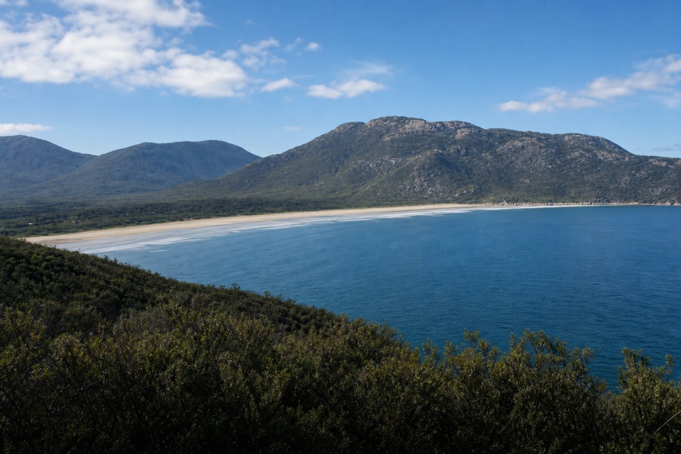
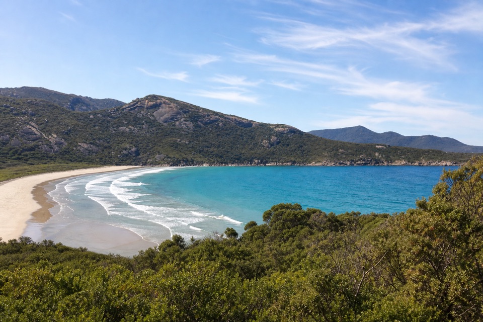
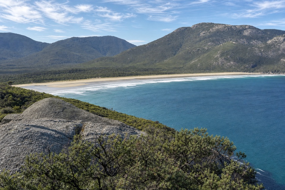
Little Oberon Bay is a roughly 250-metre beach around the point south of Norman Beach on Wilsons Promontory’s west coast. It is the smaller of two beaches in the wider Oberon Bay area; the separate, two-kilometre Oberon Bay and its hike-in campground lie farther south. Here, pale sand and scattered granite boulders meet clear turquoise water beneath low, green coastal slopes. Reaching this compact shore is part of the outing.

A half-day walk from Tidal RiverBegin at Tidal River Visitor Centre.

Begin at Tidal River Visitor Centre. The route follows coastal tea-tree and dunes to Norman Beach. From there, take the South Norman Bay Track over a low hill or walk along the beach toward Norman Point; the path crosses the point before dropping to Little Oberon. Expect uneven ground, steady climbs, steps and a sandy descent. Depending on your route and whether you add the Norman Point spur, the return walk is roughly 8 to 9.5 km. This suits a moderate half-day outing, with time for both the walk and the beach.

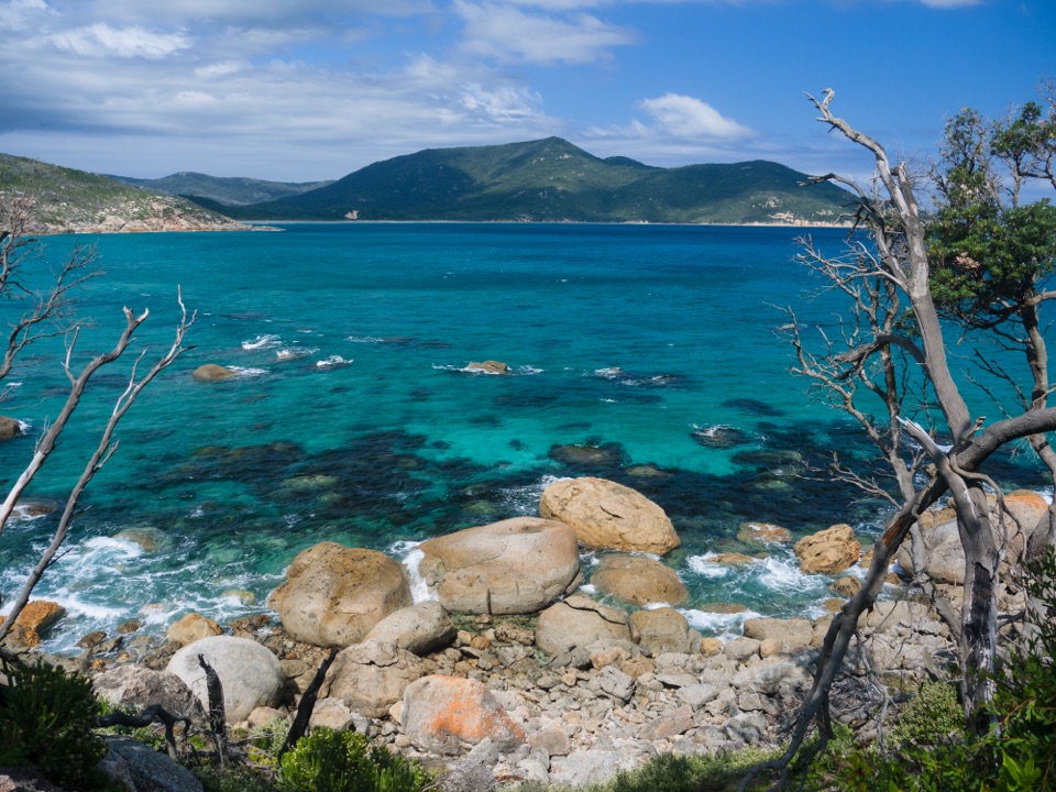
What to notice on the wayPause at Norman Point for views across Norman Bay toward the Glennie Islands.

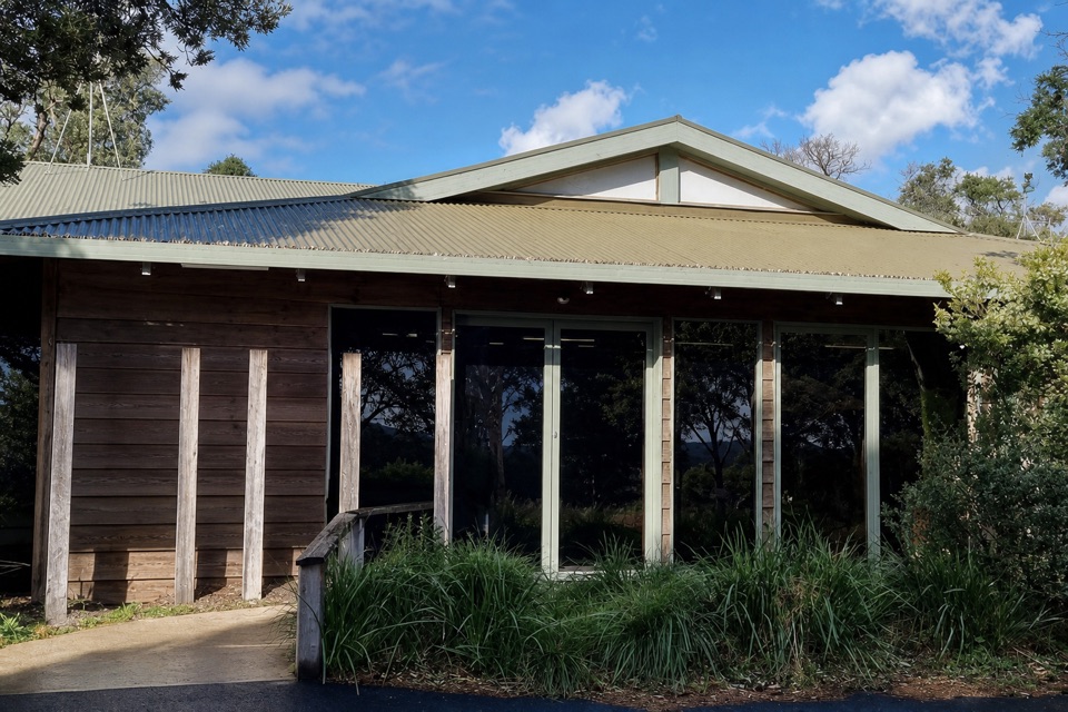
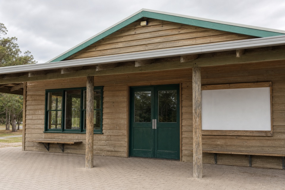
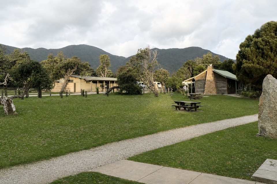
Pause at Norman Point for views across Norman Bay toward the Glennie Islands. At Little Oberon, the pale shoreline boulders and turquoise shallows make a strong photo foreground against the green headlands. The bay is also on the Southern Circuit, so overnight walkers use it as well as day hikers. Tidal River is the useful service base: Parks Victoria lists a visitor centre and a day-use area at Norman Beach with a car park, picnic tables and a toilet/shower block. They are at the start and Norman Beach, before the final walk down to the bay. Dogs are prohibited in the park, with Parks Victoria entry requirements applying to assistance dogs.

Wildlife

Wildlife in Wilsons Promontory

All Wilsons Promontory wildlife maps

Sighting maps show where each species has been reported across Wilsons Promontory. Wildlife moves, so no sighting is guaranteed.

Keep exploring

Near Little Oberon Bay

See it all on the map

Trails nearby

More stops nearby

Parkwolf’s Wilsons Promontory ranking

Top sights in Wilsons Promontory

All 46 places
  1. 1Squeaky BeachBeach
  2. 2Mount OberonSight
  3. 3Norman BeachBeach
  4. 4Big DriftSight
  5. 5Wilsons Promontory LightstationSight
  6. 6Whisky BayBeach

Take Parkwolf to Wilsons Promontory.

The audio tour guide for the drive, plus offline maps, trails, and wildlife heatmaps for when the signal drops.

4.7 from 8,600+ ratings

Download Parkwolf on the App StoreGet Parkwolf on Google Play