Overview
About Kennicott Glacier West-Side View
Why stop
- A close look at a glacier's striking rock-covered surface.
Map
Where it is

The highest, rockiest slopes around here are a summer buffet for grizzly bears.
Wrangell-St. Elias Tour Guide
Your drive to Kennicott Glacier West-Side View, narrated.
Parkwolf is a GPS audio tour guide for Wrangell-St. Elias National Park. As you drive, it chimes in with what’s ahead: hidden gems, upcoming stops, history, geology, and wildlife, right through your car’s speakers.
See the Wrangell-St. Elias audio tourRecorded for this place
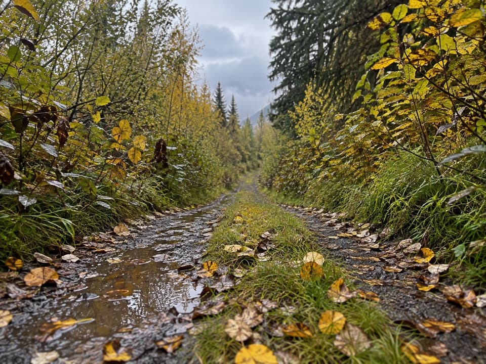
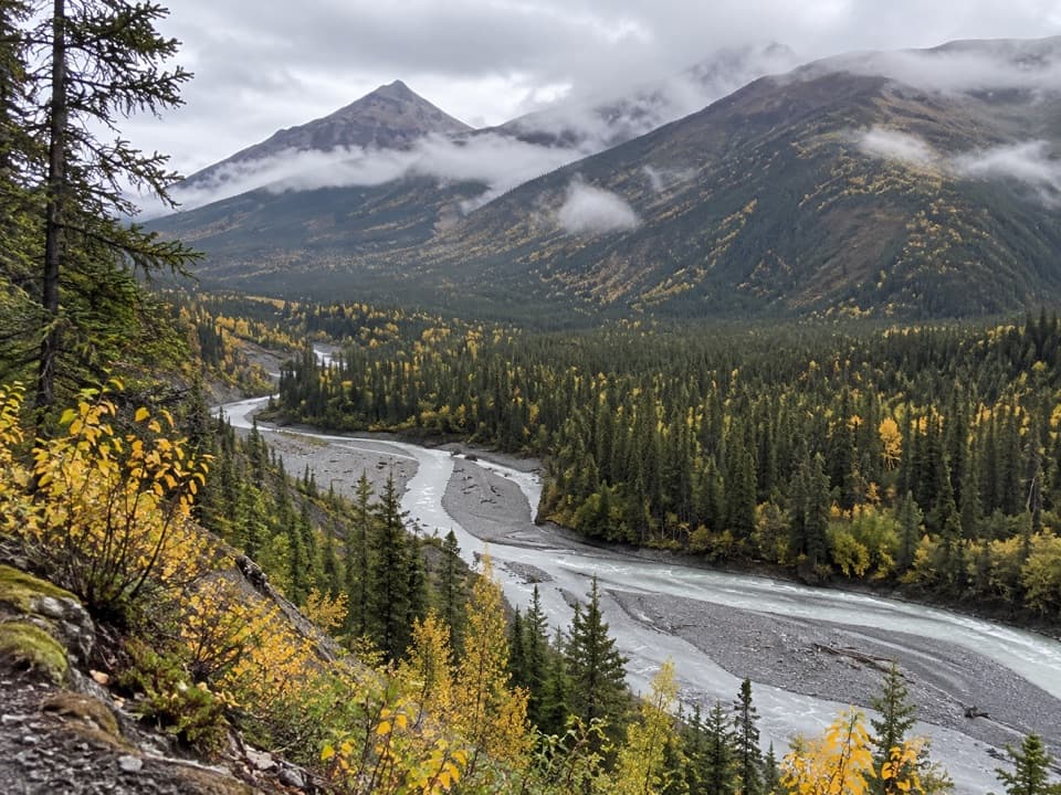
Kennicott Glacier’s West-Side Walk“McCarthy Road Information Station is coming up, with the trail to Kennicott Glacier's west side. Allow about an hour for the just-over-two-mile round trip through spruce woods to a rocky shore and meltwater pond.”
Plays as you drive up to Kennicott Glacier West-Side View in the Parkwolf Wrangell-St. Elias Tour Guide.
More stories near here in the app
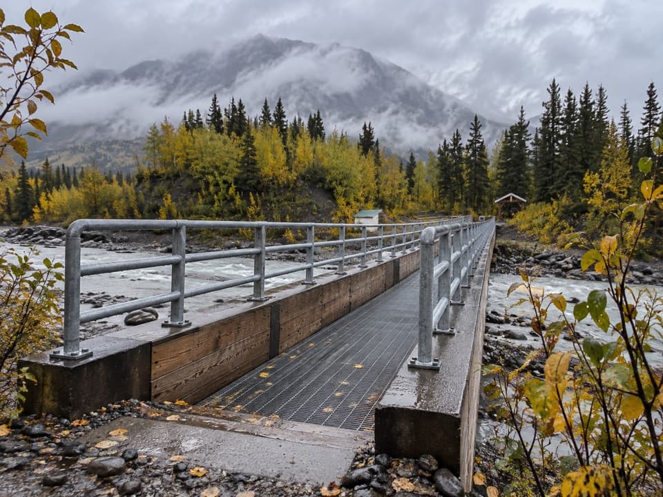
- Kennicott River Footbridge and Road-End Stops
- McCarthy-Kennicott Historical Museum
- Eating in McCarthy
- Eight Cents for Medical Care
- 81 audio storiesacross Wrangell-St. Elias’s roads, triggered by GPS as you drive
- Wildlife heatmapsfor Grizzly Bear, Moose, Humpback Whale, and 13 more
- Works offlinemaps, 28 trails, 62 places, and audio download before you lose signal
- CarPlay readysimple controls built for the drive
“Fantastic app with many points of information… It’s great to just turn on while you’re driving and it gives you an audio tour of the national Park. We love it!!!!”


Guide
More about Kennicott Glacier West-Side View
Reach the west sideKennicott Glacier West-Side View is the destination of a trail from McCarthy Road Information…
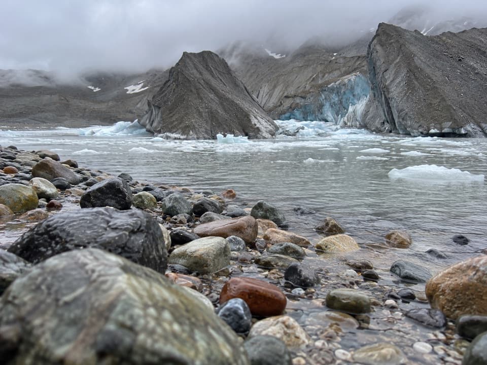
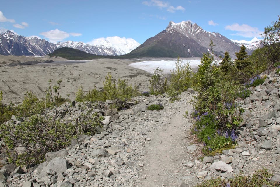
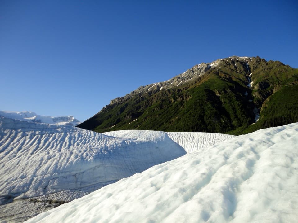
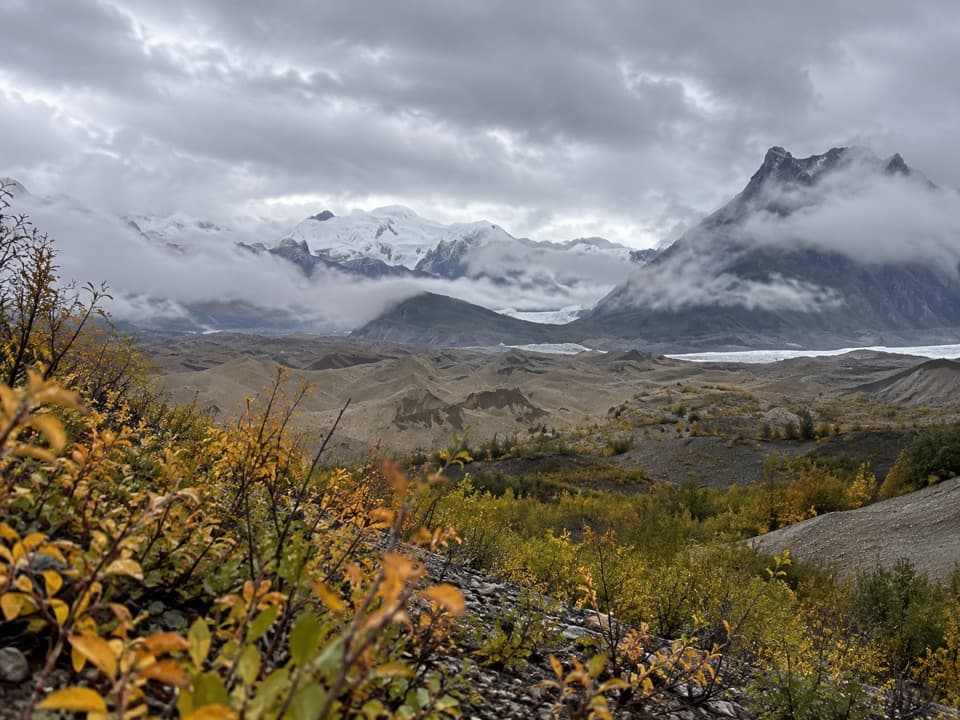
Kennicott Glacier West-Side View is the destination of a trail from McCarthy Road Information Station. The National Park Service describes the trail as a mile long. This is a walk to the glacier, not a roadside pullout, and the payoff is a close look at its rough, brown surface. The rock cover hides ice hundreds of feet thick.
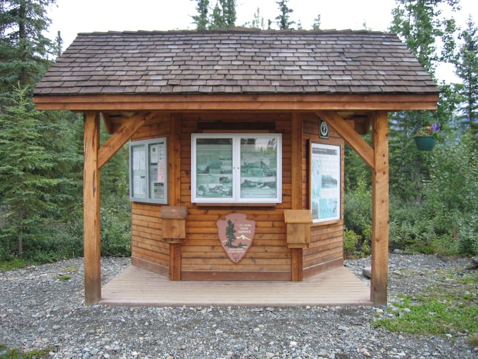
Start at the information stationBegin at McCarthy Road Information Station, where day-use parking serves the trail.
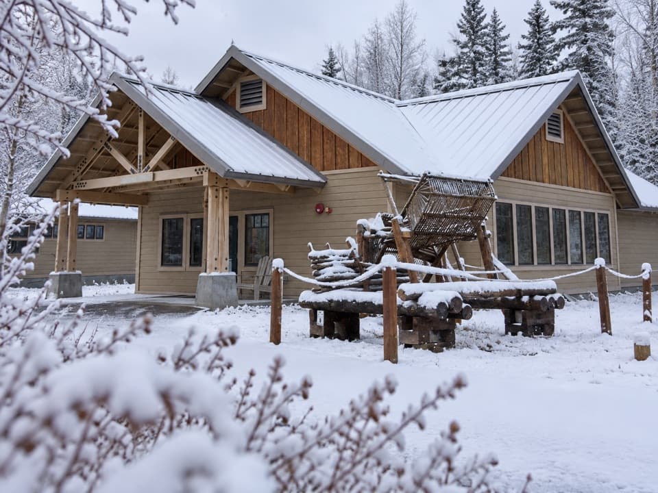
Begin at McCarthy Road Information Station, where day-use parking serves the trail. The station also has a picnic table and a seasonal vault or composting toilet. The park lists the trail as one mile but doesn't say whether that is one way or round trip, so don't use that number as your total hiking distance. Rain can make even debris-covered moraine slippery; the park warns against glacier crossings without training and proper equipment.
A glacier wearing its rockKennicott Glacier flows about 26 miles from high peaks in the Wrangell Mountains to the valley…
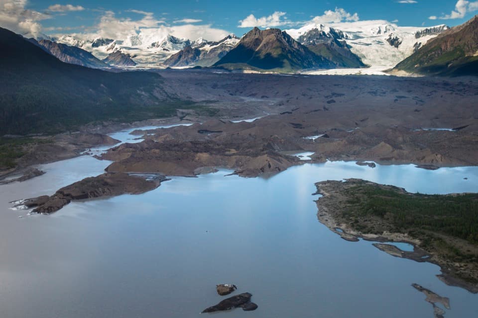
Kennicott Glacier flows about 26 miles from high peaks in the Wrangell Mountains to the valley floor. Debris carried by smaller tributary glaciers forms long ridges called medial moraines. North of Kennecott, those ridges merge and spread across the surface. The rocky layer can be only inches to a few feet deep, while the ice beneath it is still hundreds of feet thick.
Higher than the mining millWhen the Kennecott Mines were at their peak in the early 1900s, the glacier towered over the…
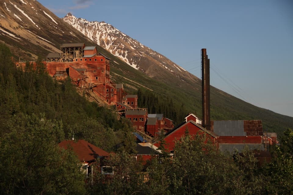
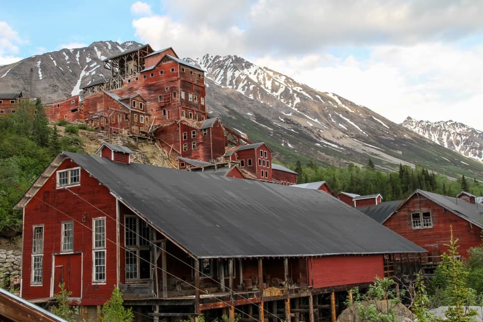
When the Kennecott Mines were at their peak in the early 1900s, the glacier towered over the mining camp and sometimes stood above the mill. The relationship has reversed: today the old camp looks down on the ice. An NPS-cited study estimated that the glacier lost 115 to 330 feet of ice between 1957 and 2007, depending on location.
Let the moraine show in your photosKeep the brown ridges in the foreground and the ice and mountains beyond them.
Keep the brown ridges in the foreground and the ice and mountains beyond them. The rock-covered surface is the detail that makes Kennicott Glacier look so different from a clean white glacier.
Wildlife
Wildlife in Wrangell-St. Elias
 113 sightingsGrizzly BearMost seen around 9 PMSighting map
 66 sightingsMooseMost seen around 8 PMSighting map
 21 sightingsHumpback WhaleMost seen around 1 PMSighting map
 46 sightingsSteller Sea LionMost seen around 11 AMSighting map
 39 sightingsBlack BearMost seen around 8 PMSighting map
 48 sightingsBald EagleMost seen around 5 PMSighting map
Sighting maps show where each species has been reported across Wrangell-St. Elias. Wildlife moves, so no sighting is guaranteed.