Overview
About McCarthy Road Information Station
Why stop
- Vault toilets and a mile-long trail are easy to combine with the drive.
Heads up
- Generally unstaffed, so information is posted rather than given in person.
Map
Where it is

The highest, rockiest slopes around here are a summer buffet for grizzly bears.
Wrangell-St. Elias Tour Guide
Your drive to McCarthy Road Information Station, narrated.
Parkwolf is a GPS audio tour guide for Wrangell-St. Elias National Park. As you drive, it chimes in with what’s ahead: hidden gems, upcoming stops, history, geology, and wildlife, right through your car’s speakers.
See the Wrangell-St. Elias audio tourRecorded for this place
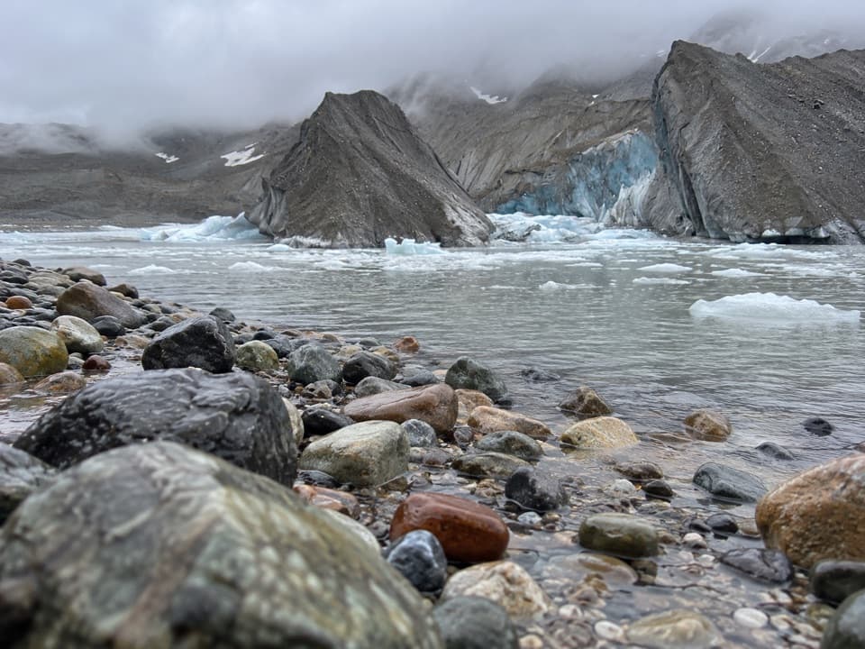
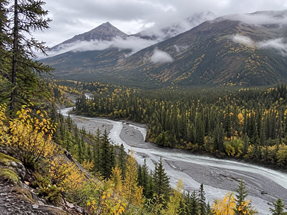
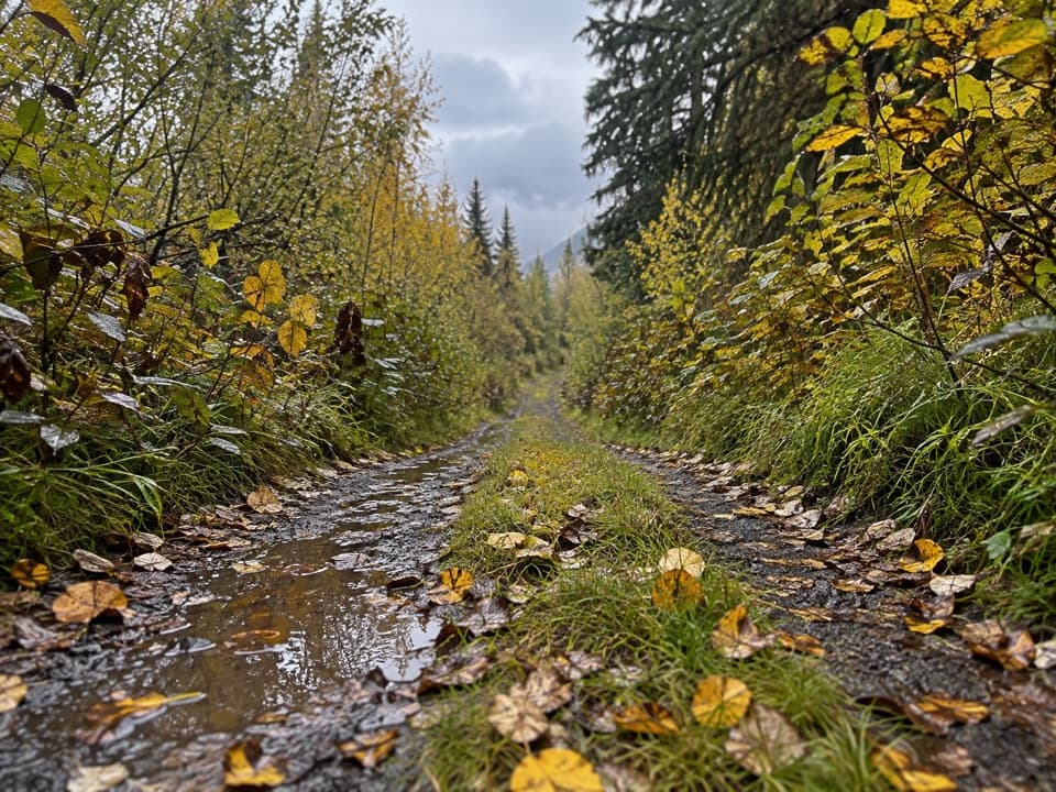
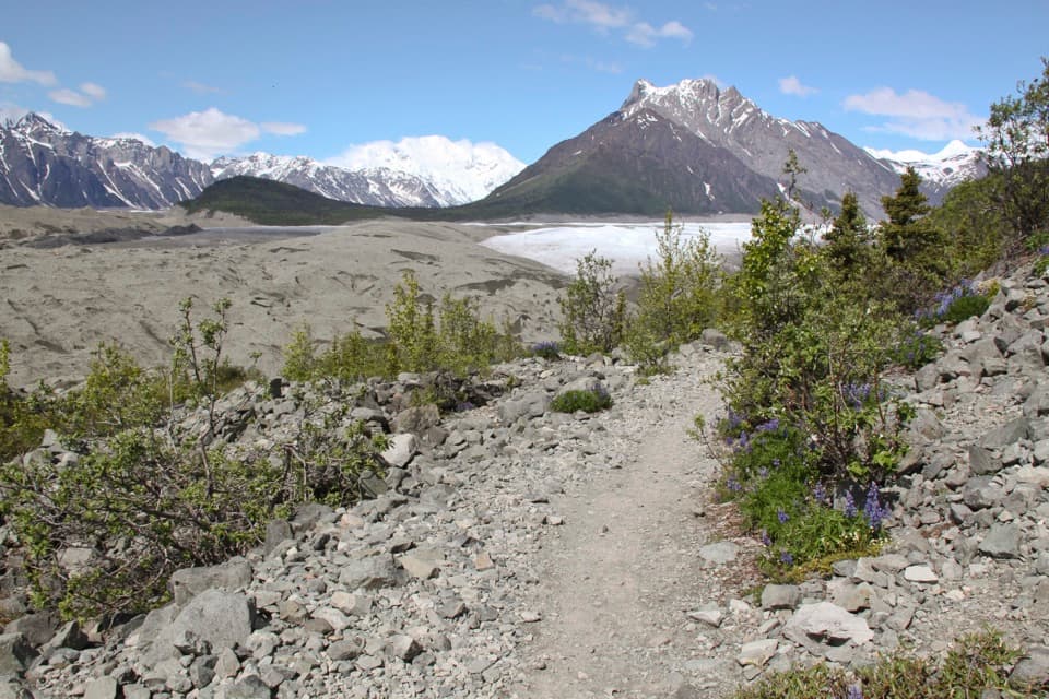
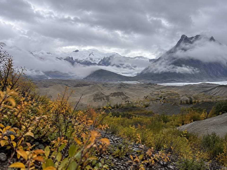
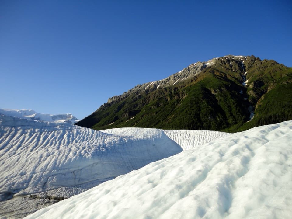
Kennicott Glacier’s West-Side Walk“McCarthy Road Information Station is coming up, with the trail to Kennicott Glacier's west side. Allow about an hour for the just-over-two-mile round trip through spruce woods to a rocky shore and meltwater pond.”
Plays as you drive up to McCarthy Road Information Station in the Parkwolf Wrangell-St. Elias Tour Guide.
More stories near here in the app
- Kennicott River Footbridge and Road-End Stops
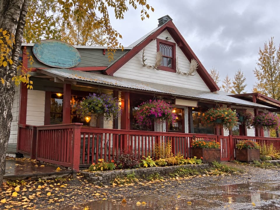
- Eating in McCarthy
- Where Glacier Ice Breaks
- McCarthy-Kennicott Historical Museum
- 81 audio storiesacross Wrangell-St. Elias’s roads, triggered by GPS as you drive
- Wildlife heatmapsfor Grizzly Bear, Moose, Humpback Whale, and 13 more
- Works offlinemaps, 28 trails, 62 places, and audio download before you lose signal
- CarPlay readysimple controls built for the drive
“Fantastic app with many points of information… It’s great to just turn on while you’re driving and it gives you an audio tour of the national Park. We love it!!!!”


Guide
More about McCarthy Road Information Station
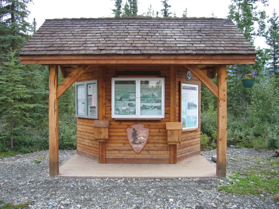
A practical stop on McCarthy RoadThis small roadside information kiosk sits at mile 58.6, about 0.
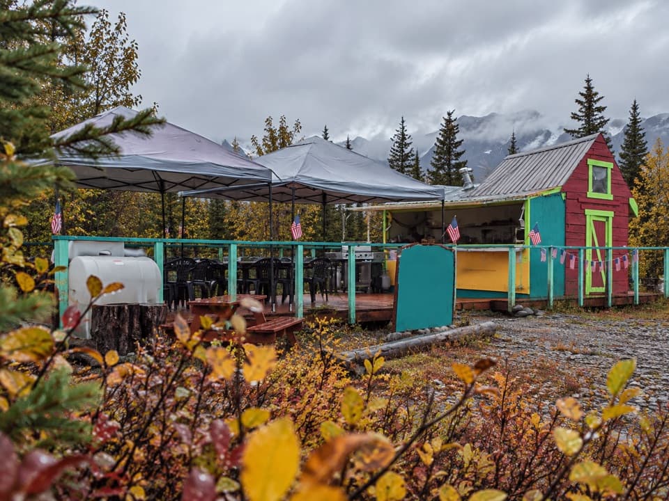
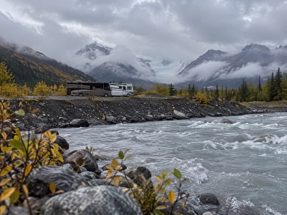
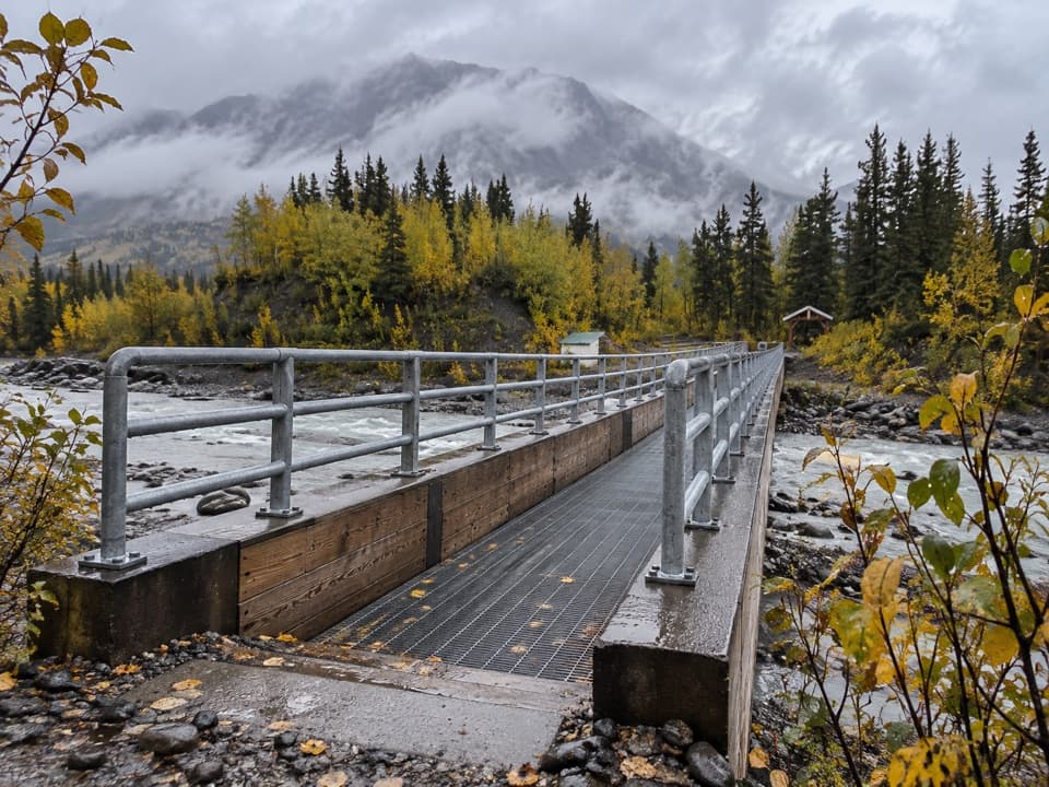
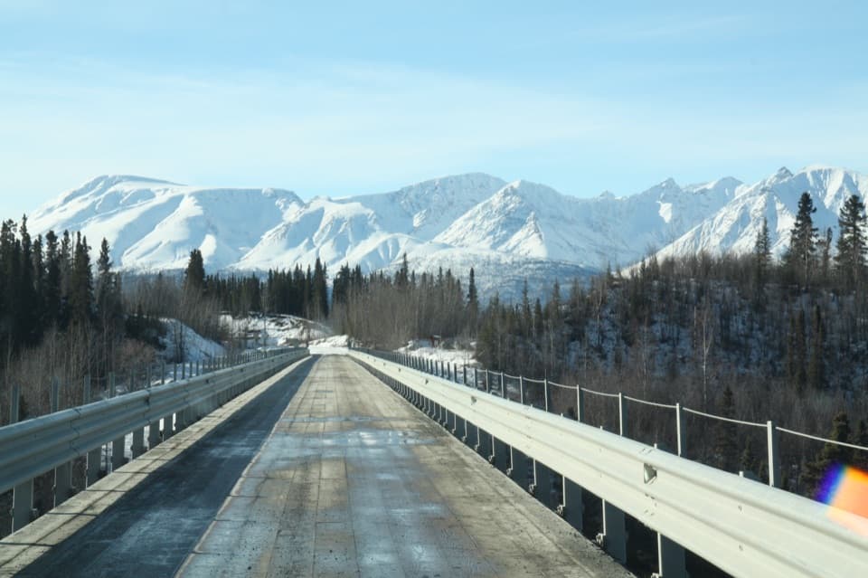
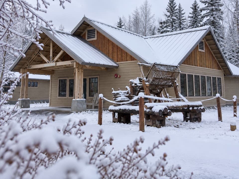
This small roadside information kiosk sits at mile 58.6, about 0.8 road mile before the Kennicott River Bridge. Check the bulletin boards, which are updated in summer, and use the day-use parking, vault toilet and picnic table. The station is generally unstaffed, and overnight parking and camping aren't allowed here. McCarthy Road is remote gravel with common potholes, ruts and washboard; fuel up in Glennallen, Copper Center, Kenny Lake or Chitina before setting out.
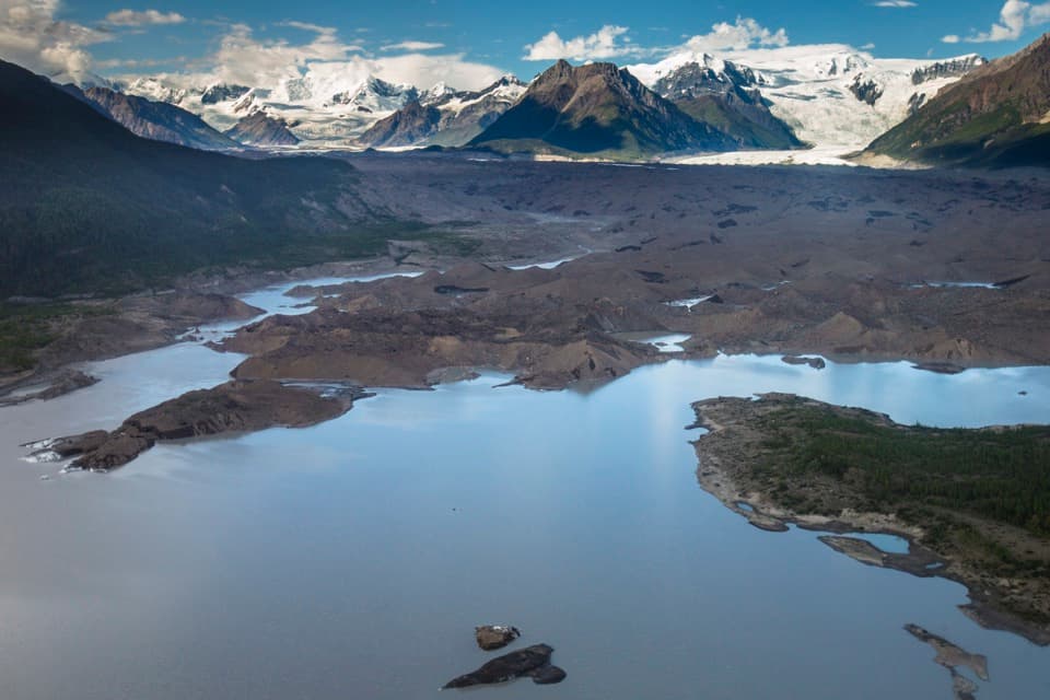
Walk toward Kennicott GlacierA trail from the station runs about a mile to the west side of Kennicott Glacier.
A trail from the station runs about a mile to the west side of Kennicott Glacier. The glacier-and-river viewing turnouts at miles 58.1–58.4 are separate stops earlier on the road, so don't confuse those viewpoints with this wayside.
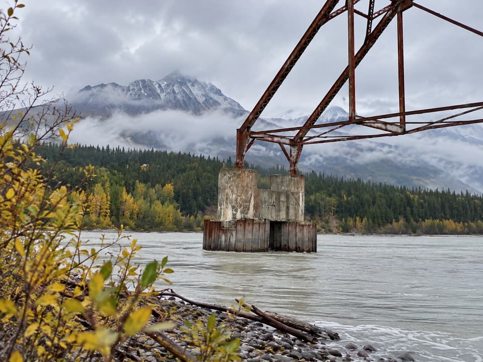
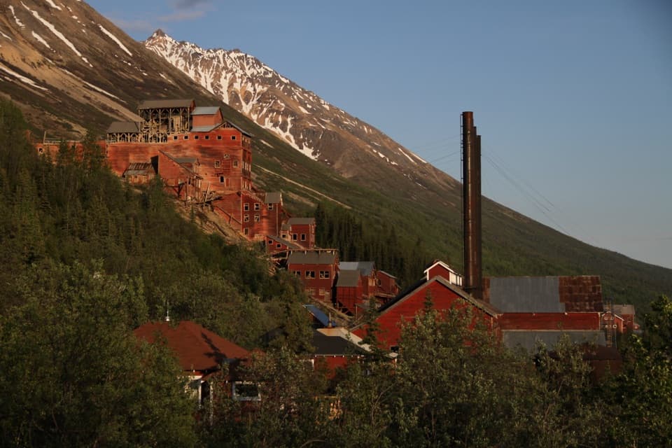
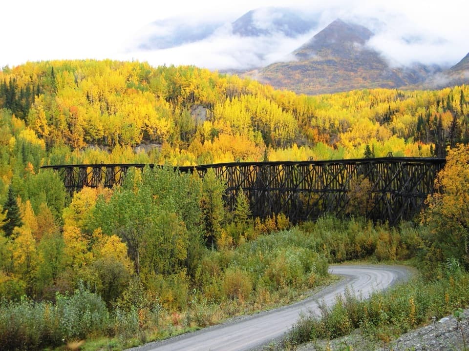
The old railway beneath the roadMcCarthy Road follows the route of the railway built in 1909 to serve the Kennecott Copper…
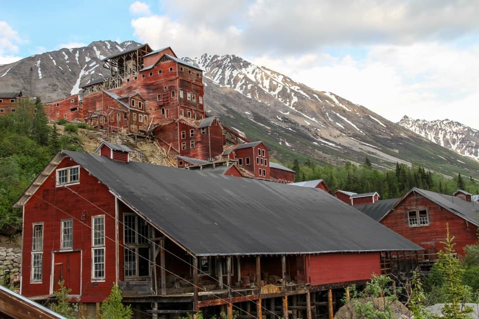
McCarthy Road follows the route of the railway built in 1909 to serve the Kennecott Copper Mines. Large-scale mining ended in 1938 and most rails were salvaged. In 1971, after a new Copper River bridge was built, the old rail bed was covered with gravel to create the road. Railroad ties and the occasional spike can still surface along this narrow, winding route.
Wildlife
Wildlife in Wrangell-St. Elias
 113 sightingsGrizzly BearMost seen around 9 PMSighting map
 66 sightingsMooseMost seen around 8 PMSighting map
 21 sightingsHumpback WhaleMost seen around 1 PMSighting map
 46 sightingsSteller Sea LionMost seen around 11 AMSighting map
 39 sightingsBlack BearMost seen around 8 PMSighting map
 48 sightingsBald EagleMost seen around 5 PMSighting map
Sighting maps show where each species has been reported across Wrangell-St. Elias. Wildlife moves, so no sighting is guaranteed.