Parking
Use the small lot at Cascade Creek Trailhead (4K4) beside Norris–Canyon Road.
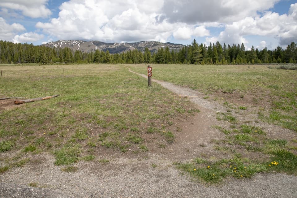
Yellowstone National Park, WY · MT · ID
An easy creek-and-meadow walk to the Cascade Lake Trail junction.
Overview
Map & elevation
Plan your hike

The highest, rockiest slopes around here are a summer buffet for grizzly bears.
Yellowstone Tour Guide
Parkwolf is a GPS audio tour guide for Yellowstone National Park. As you drive, it chimes in with what’s ahead: hidden gems, upcoming stops, history, geology, and wildlife, right through your car’s speakers.
See the Yellowstone audio tourRecorded for this area
Canyon Village“Canyon Village is coming up, a useful stop for understanding the landscape as well as getting lunch.”
Plays on the road 0.6 mi from the trailhead in the Parkwolf Yellowstone Tour Guide.
More stories near here in the app
“First time driving through a national park. We used the Yellowstone tour on grand loop Road and it’s just like having a tour guide in your car with you.”


Trail guide
Cascade Creek Trail is a 3.4-mile out-and-back from Cascade Creek Trailhead (4K4) to the Cascade Lake Trail junction. The path crosses a meadow, climbs about 50 feet, then winds through mostly level forest with scattered openings by Cascade Creek. Allow about 1½ to 2 hours. It’s a good choice for an easy creek-and-meadow walk; turn around at the junction, because this route does not continue to Cascade Lake.
The trail starts across a small meadow beside Norris–Canyon Road, then makes its brief climb into the trees. Cascade Creek runs nearby for much of the walk but is often hidden by forest. The views open again in little meadows, then a broader one near the end. The path dips into trees, crosses the creek, and meets Cascade Lake Trail. Walk the same corridor back to the road. There are no cascades on this route, despite the creek’s name.
Spring and early summer bring wildflowers to the meadows, and elk and bison have been seen in the opening. Give elk and bison at least 25 yards; stay 100 yards from bears and wolves. Pets aren’t allowed on Yellowstone hiking trails, though trained service animals are permitted under park rules. The trailhead has an information kiosk and a small parking lot; toilets, drinking water, and food service weren’t listed for this route.
Wildlife
 713 sightingsGrizzly BearMost seen around 6 AMSighting map
 743 sightingsWolfMost seen around 6 AMSighting map
 5,273 sightingsBisonMost seen around 7 AMSighting map
 3,258 sightingsElkMost seen around 7 PMSighting map
 397 sightingsMooseMost seen around 7 PMSighting map
 1,494 sightingsBlack BearMost seen around 7 PMSighting map
Sighting maps show where each species has been reported across Yellowstone. Wildlife moves, so no sighting is guaranteed.
Keep exploring
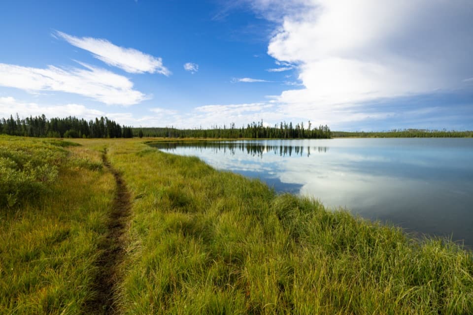 ModerateHoward Eaton Trail: Canyon to Ice Lake10.7 mi · 5.5 hr · At the trailheadA long one-way traverse past four lakes, meadow, and marsh.
 ChallengingBrink of the Lower Falls Trail0.7 mi · 1 hr · 1.1 mi awayA close Lower Falls view after a steep, stepped descent.
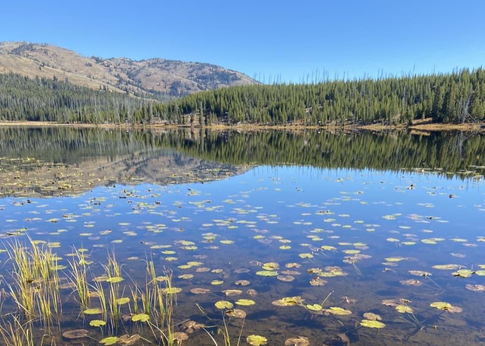 EasyCascade Lake Trail4.4 mi · 2.5 hr · 1.2 mi awayFollow open meadows to a lake edged with lily pads.
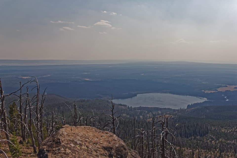 ChallengingObservation Peak Trail9.6 mi · 5.5 hr · 1.2 mi awayMeadows and a lake lead to a fire lookout above the valley.
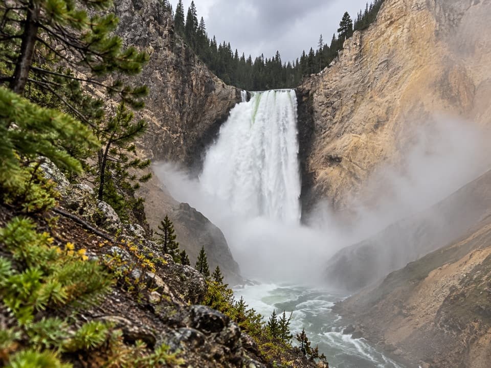 ModerateRed Rock Points Trail0.6 mi · 45 min · 1.2 mi awaySteep stairs bring you close to Lower Falls.
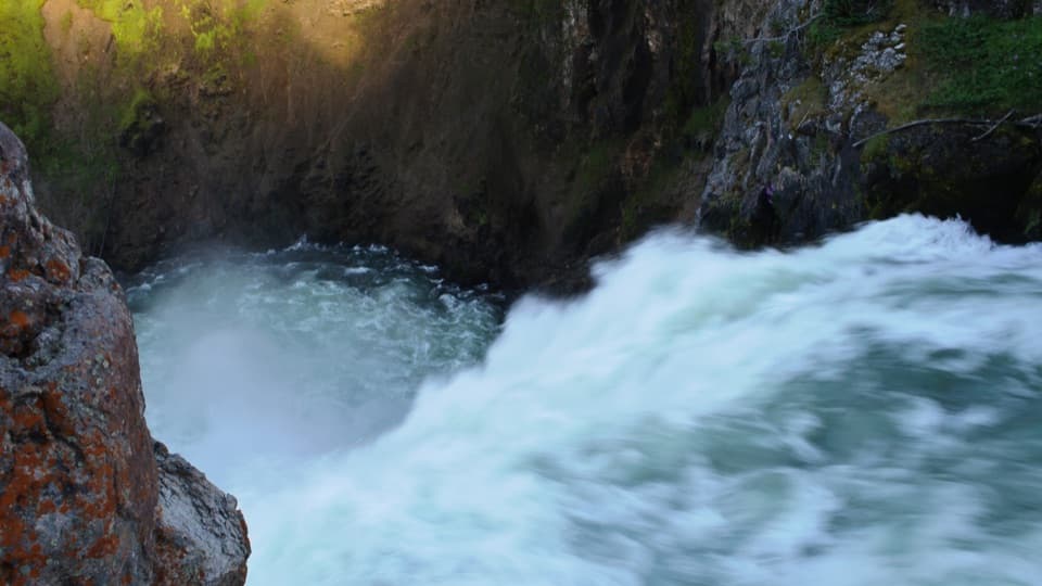 EasyBrink of the Upper Falls Trail0.3 mi · 24 min · 1.4 mi awayA short, stair-stepped walk to Yellowstone's 109-foot Upper Falls.
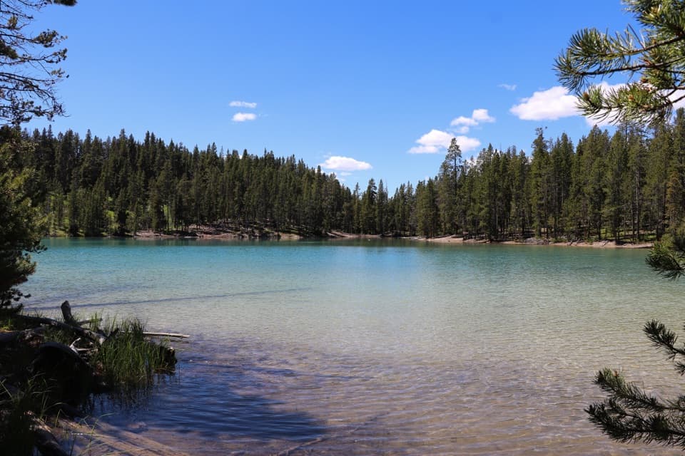 ModerateClear Lake–Ribbon Lake Loop Trail6.1 mi · 3.5 hr · 1.5 mi awayThermal ground, two lakes, and a canyon rim return.EasyClear Lake Trail1.4 mi · 1 hr · 1.5 mi awayA gentle short walk to a bubbling, spring-fed lake.
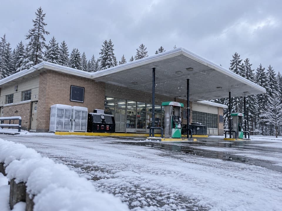 Gas station · 0.6 mi awayCanyon Gas and Service StationFuel, snacks and vehicle help for the Canyon drive.
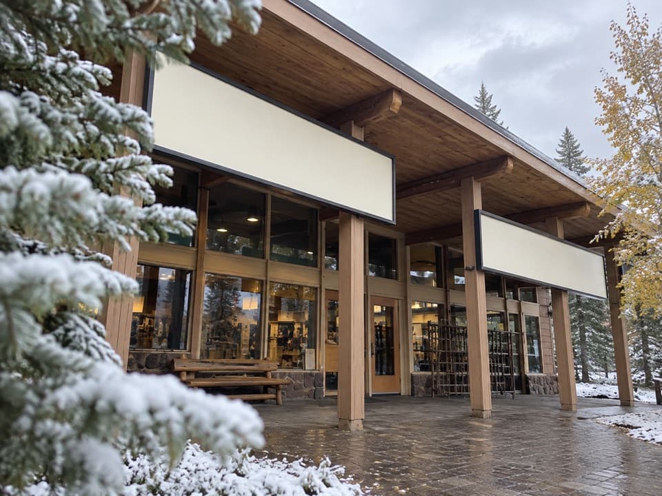 Store · 0.6 mi awayCanyon Yellowstone Adventure StoreA seasonal stop for outdoor gear, fishing supplies and a yogurt bar.
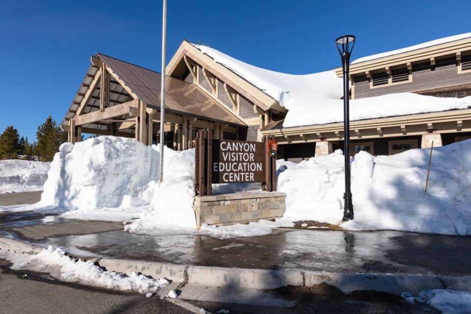 Visitor center · 0.6 mi awayCanyon Visitor Education CenterA room-size map makes Yellowstone's scale click before you head out.
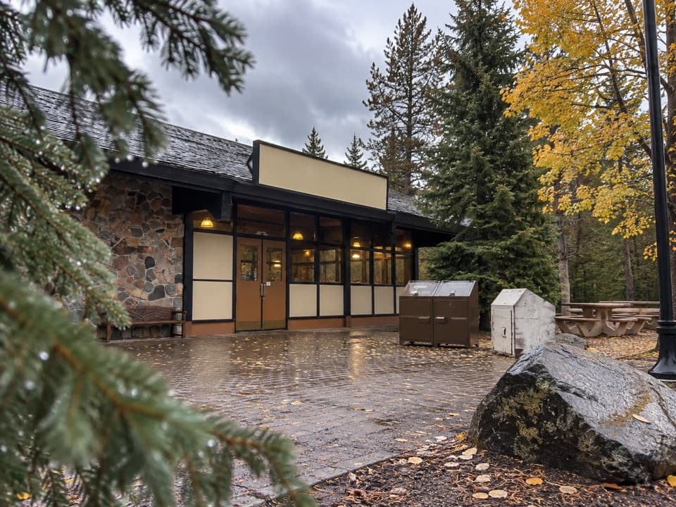 Store · 0.6 mi awayCanyon General StoreA nostalgic burger counter and useful supply stop in Canyon Village.
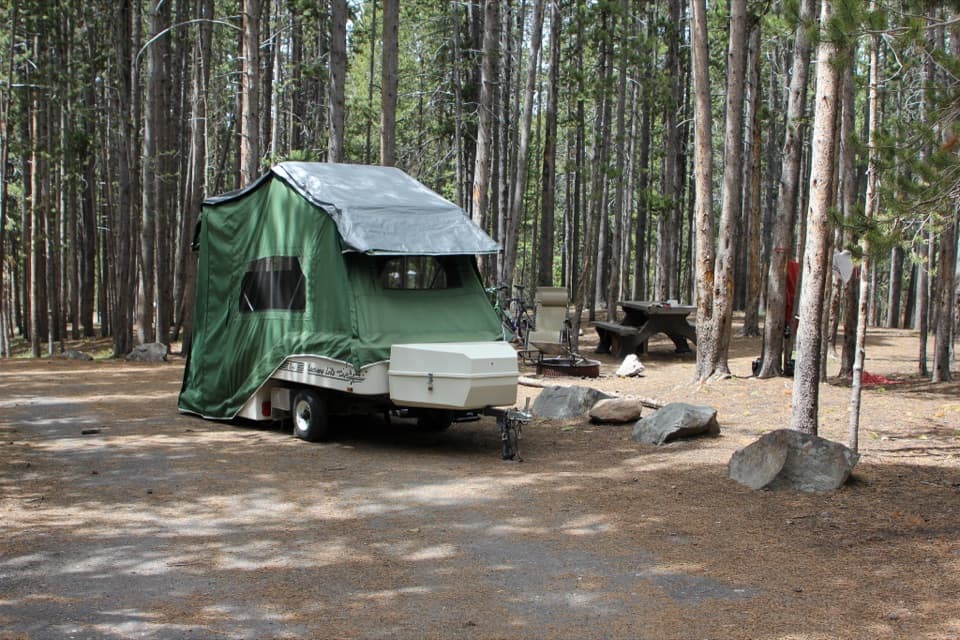 Campground · 0.8 mi awayCanyon CampgroundA 273-site, pine-wooded campground near Canyon Village.
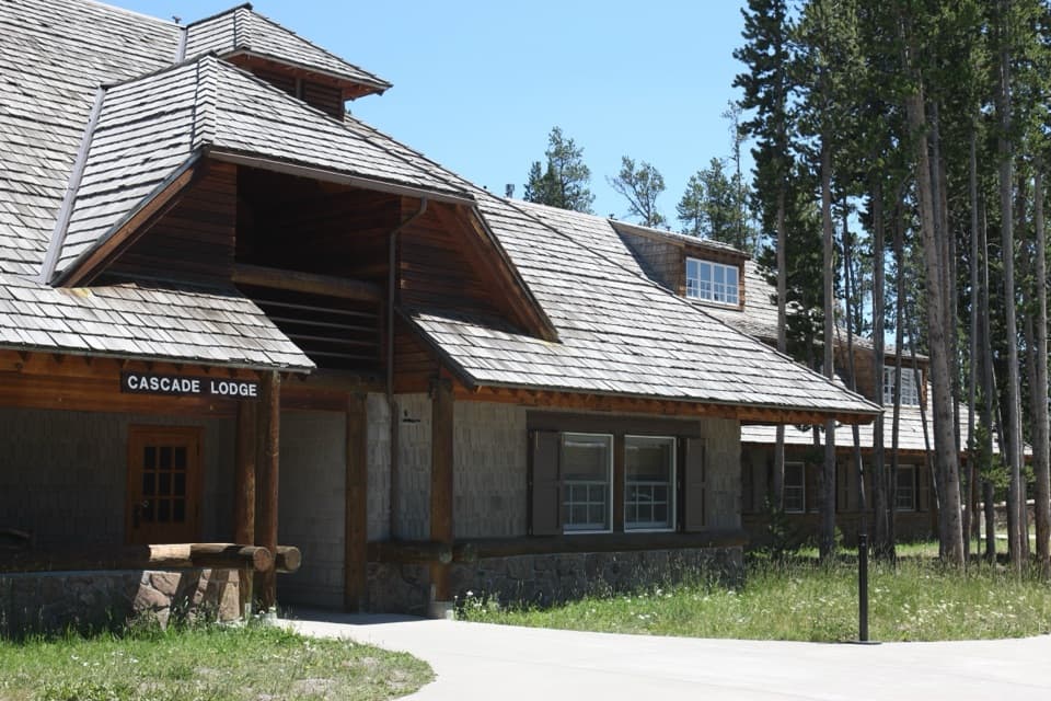 Lodging · 0.9 mi awayCanyon Lodge and CabinsA handy in-park base near the Grand Canyon and both loops.
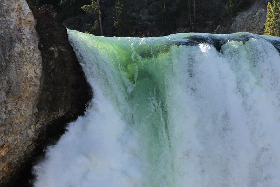 Sight · 1.2 mi awayBrink of the Lower FallsGet close enough to feel the Lower Falls' roar.
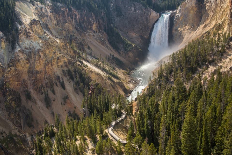 Sight · 1.2 mi awayLookout PointThe Lower Falls fills the canyon from this north-rim perch.
Parkwolf’s Yellowstone ranking

The audio tour guide for the drive, plus offline maps, trails, and wildlife heatmaps for when the signal drops.




