Parking
Turn onto the gravel road about 3 miles east of Fishing Bridge Visitor Center and park at its end, at Pelican Valley Trailhead.
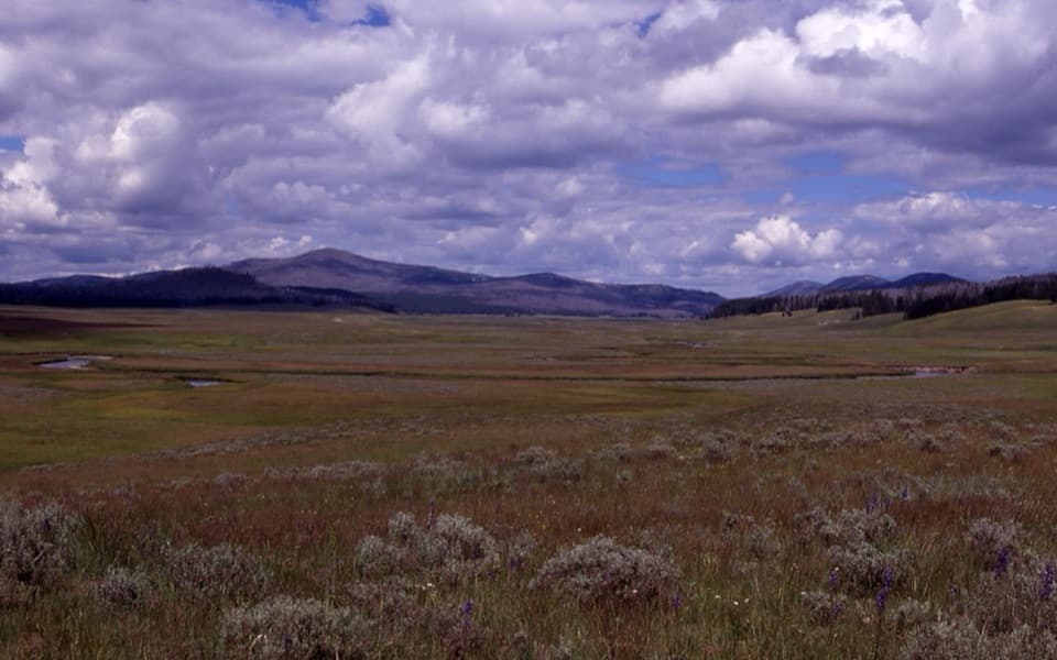
Yellowstone National Park, WY · MT · ID
A long backcountry walk to a rare summit fire lookout.
Overview
Map & elevation
Plan your hike

The highest, rockiest slopes around here are a summer buffet for grizzly bears.
Yellowstone Tour Guide
Parkwolf is a GPS audio tour guide for Yellowstone National Park. As you drive, it chimes in with what’s ahead: hidden gems, upcoming stops, history, geology, and wildlife, right through your car’s speakers.
See the Yellowstone audio tourRecorded for this trailhead
Pelican Valley Trailhead“You're approaching Pelican Valley Trailhead, for a mostly level walk through meadows and forest to views of Pelican Creek and the Absaroka Mountains.”
Plays as you drive up to this trailhead in the Parkwolf Yellowstone Tour Guide.
More stories near here in the app
“First time driving through a national park. We used the Yellowstone tour on grand loop Road and it’s just like having a tour guide in your car with you.”


Trail guide
Pelican Cone Trail is a remote out-and-back from Pelican Valley Trailhead to a small fire lookout on the cone’s open summit. The mapped route is about 22.3 miles round trip, with roughly 2,360 feet of climbing; allow about 10 hours for a strong, steady hike. The 11-mile line in the app shows the trail once, while the distance field counts the return. This is a serious backcountry day, not the separate 6.2-mile Pelican Valley hike that turns around at the washed-out bridge.
The shared first stretch crosses open meadow on bare ground, passes bridges and forest, and climbs a small hill to a view over Pelican Valley. Farther along, the mapped route follows Pelican Creek and Raven Creek paths toward the cone. A small hydrothermal area lies on the approach; stay on the tread there, and don’t cut across the fragile ground. The route remains low and gradual for much of its length, then gains height on the final climb.
The 9,663-foot summit is open and treeless, with Pelican Valley below and Yellowstone Lake visible beyond it. The forested, snowy ridges across the view are part of the Sour Creek resurgent dome, uplifted and faulted rock left after Yellowstone’s caldera-forming eruptions. The 14-by-14-foot cabin was built in 1937 by the Civilian Conservation Corps and served as a fire lookout in several periods through 1993. It is still maintained and used periodically for fire monitoring, so plan on the summit and view rather than assuming the cabin is open inside.
The Pelican Valley approach is prime grizzly habitat. NPS lists this access as day-use only from 9 a.m. to 7 p.m. and closed before July 4; groups of four or more are recommended, and off-trail travel is prohibited for the first 2.1 miles. That leaves little margin for a 22-mile day, so start at the allowed opening and check the current backcountry report before going. An overnight itinerary requires a backcountry permit and an assigned campsite. Pets aren’t allowed on Yellowstone trails or in the backcountry.
Wildlife
 713 sightingsGrizzly BearMost seen around 6 AMSighting map
 743 sightingsWolfMost seen around 6 AMSighting map
 5,273 sightingsBisonMost seen around 7 AMSighting map
 3,258 sightingsElkMost seen around 7 PMSighting map
 397 sightingsMooseMost seen around 7 PMSighting map
 1,494 sightingsBlack BearMost seen around 7 PMSighting map
Sighting maps show where each species has been reported across Yellowstone. Wildlife moves, so no sighting is guaranteed.
Keep exploring
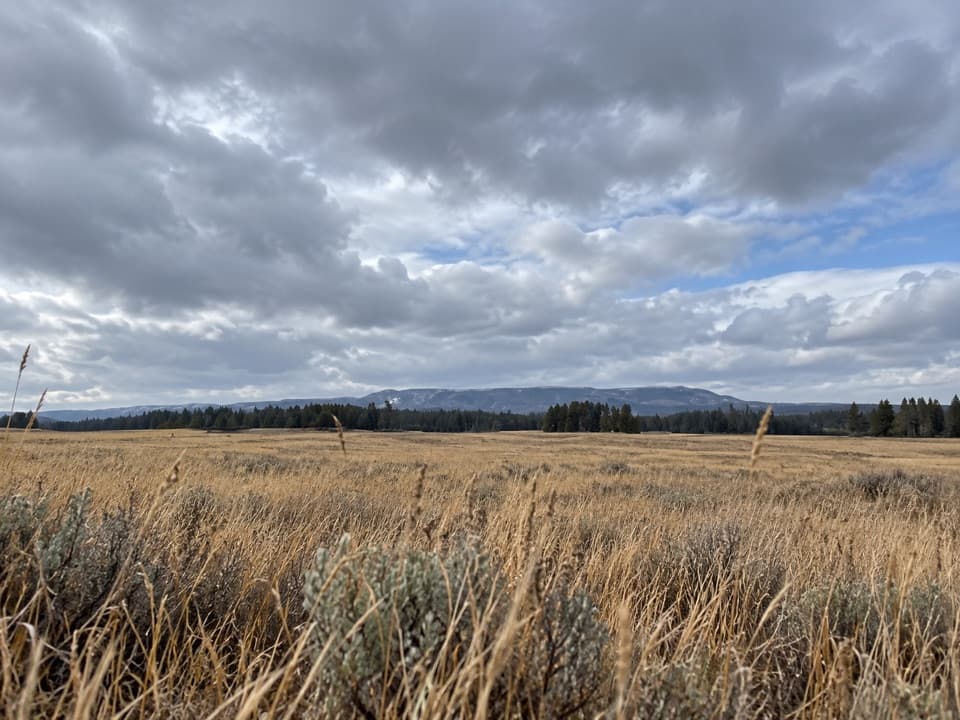 ModeratePelican Valley Trail6.2 mi · 4 hr · At the trailheadCross open meadows to a creekside overlook in prime grizzly country.
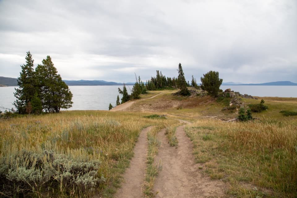 EasyStorm Point Trail2.3 mi · 1.5 hr · 0.5 mi awayA short loop from Indian Pond to a wind-swept Yellowstone Lake point.
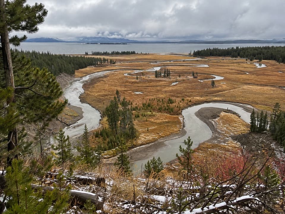 EasyPelican Creek Nature Trail0.8 mi · 45 min · 2.1 mi awayA short forest loop opens onto Pelican Creek and Yellowstone Lake.
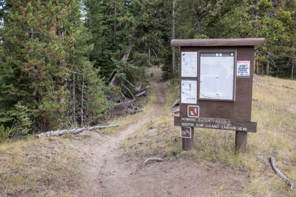 ModerateHoward Eaton Trail: Fishing Bridge to Canyon13.5 mi · 7 hr · 2.8 mi awayA long river-side traverse opens into Hayden Valley meadows.
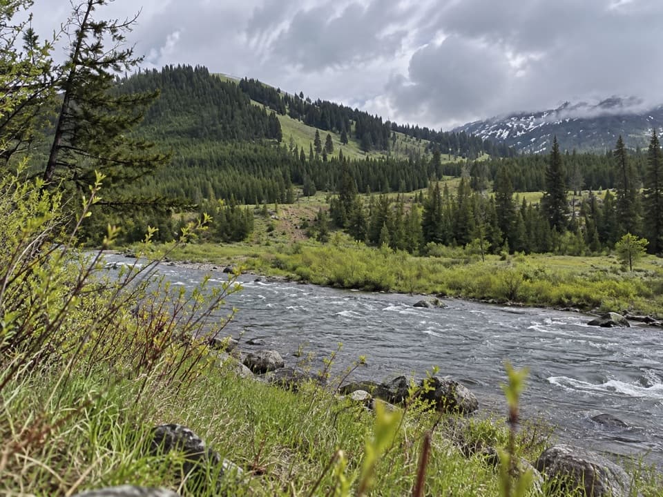 ChallengingMist Creek Trail14.3 mi · 12 hr · 3.1 mi awayBear country, a high pass, then a long descent to the Lamar.
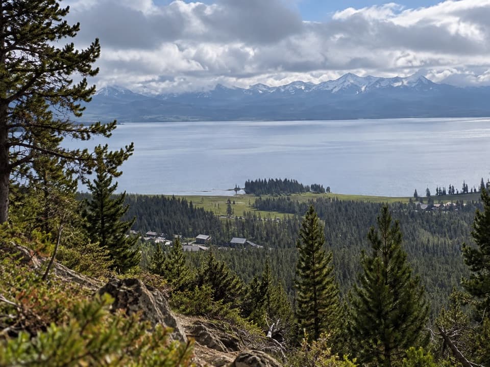 ModerateElephant Back Mountain Trail3.9 mi · 2.5 hr · 4.1 mi awayA steady forest climb to a broad Yellowstone Lake view.
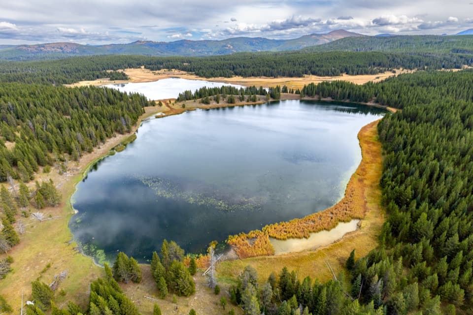 ChallengingAstringent Creek Trail9.1 mi · 6.5 hr · 4.2 mi awayA remote nine-mile connector between Pelican Valley and Wapiti trails.
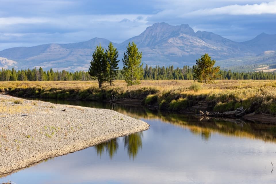 ChallengingThorofare Trail33.1 mi · 16 hr · 4.3 mi awayA 33-mile one-way trek from lake shore into remote river country.
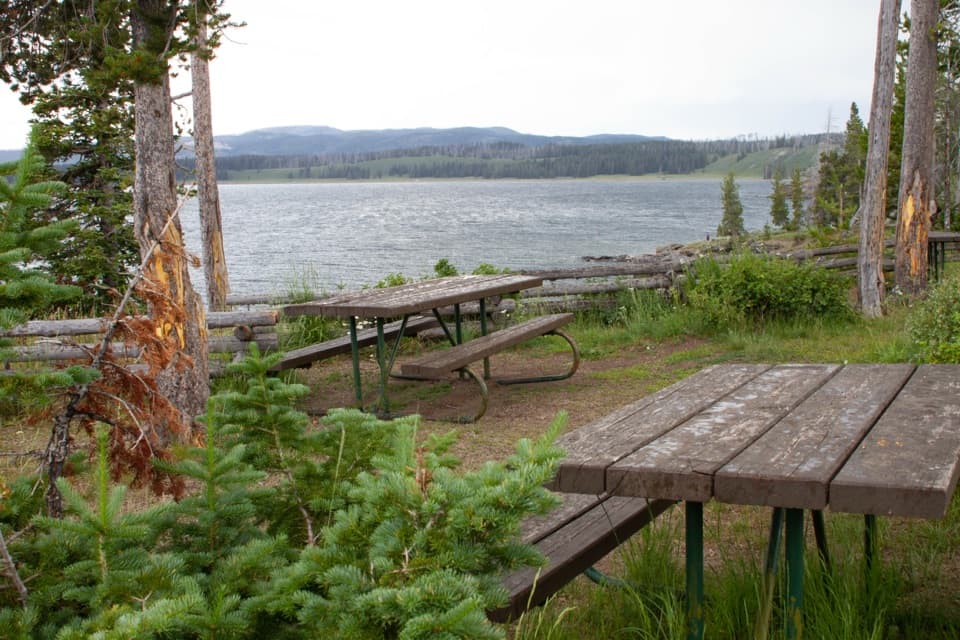 Picnic area · 2.2 mi awaySteamboat Point Picnic AreaA simple lakeside pause with four tables and a vault toilet.
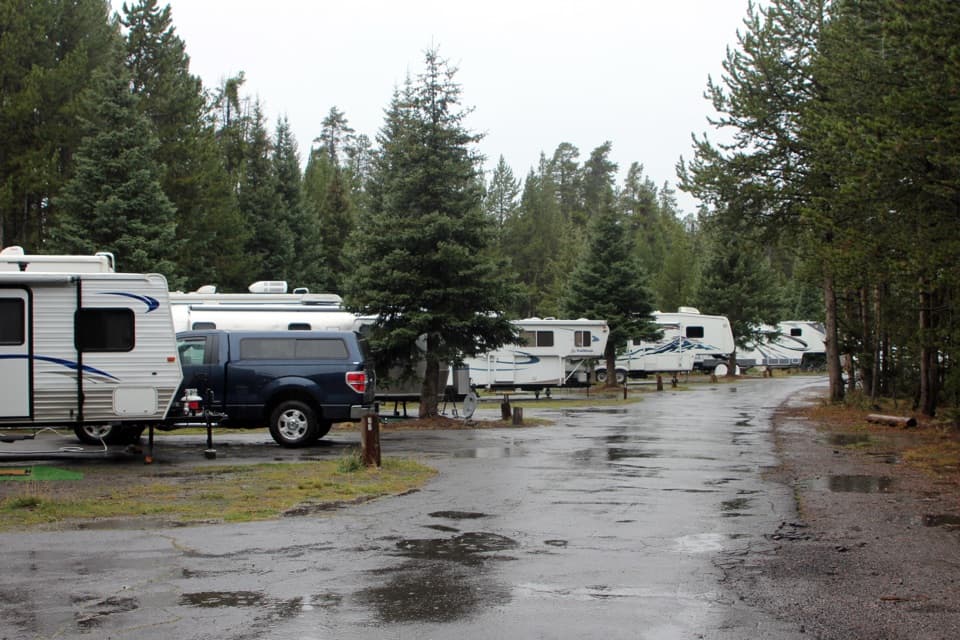 Campground · 2.5 mi awayFishing Bridge RV ParkYellowstone’s only full-hookup campground; tents aren’t allowed.
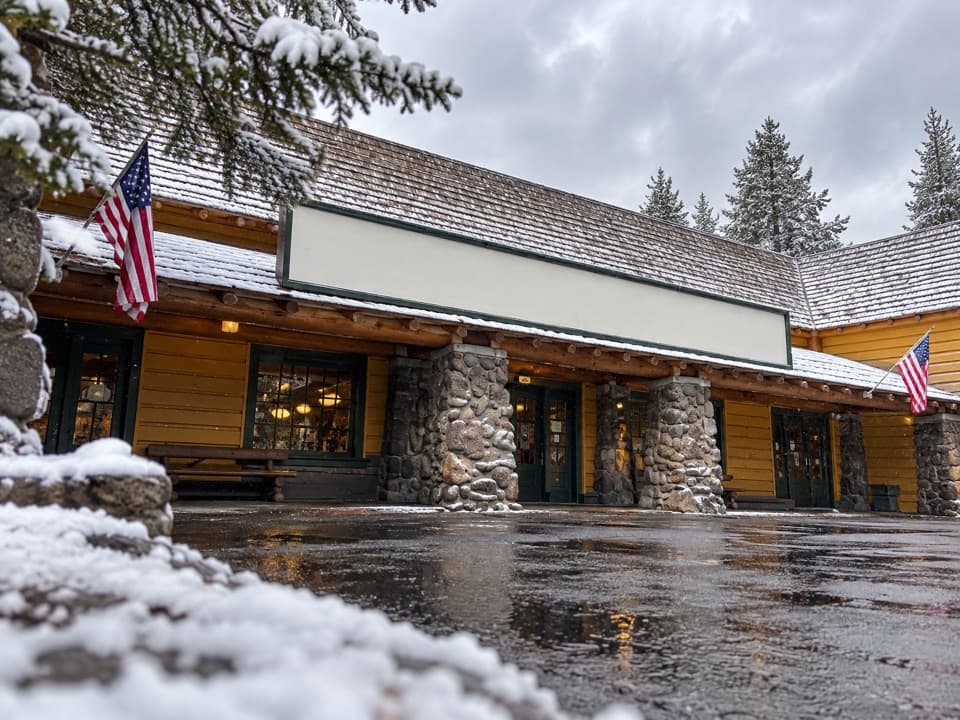 Store · 2.8 mi awayFishing Bridge General StoreGroceries, ice cream and a grill make this a useful park stop.
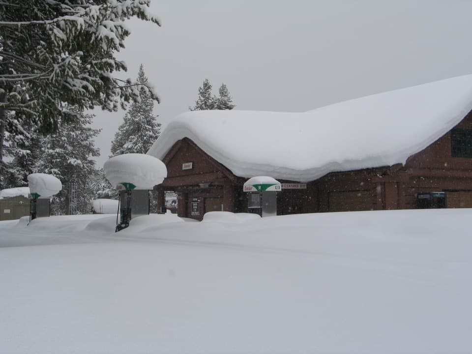 Gas station · 2.9 mi awayFishing Bridge Gas and Service StationA handy stop for fuel, repairs, towing and propane.
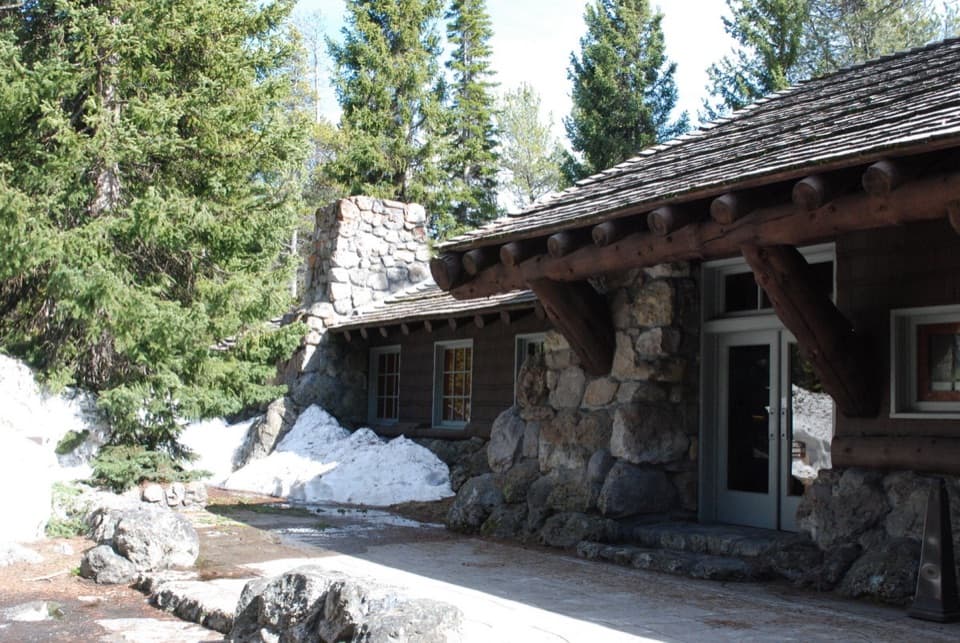 Visitor center · 2.9 mi awayFishing Bridge Visitor Center and Trailside MuseumStep into a bird museum with Yellowstone Lake just beyond the windows.
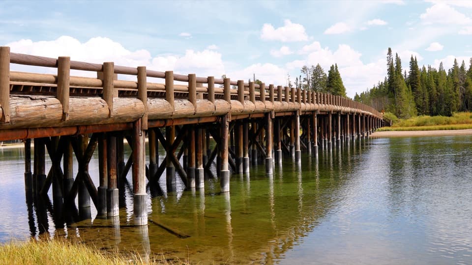 Sight · 3.2 mi awayFishing BridgeA quick fish-watching stop at a bridge closed to fishing.
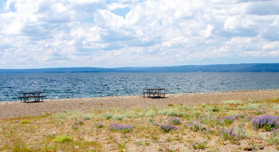 Picnic area · 3.4 mi awaySedge Bay Picnic AreaA simple picnic stop with broad views across a giant lake.
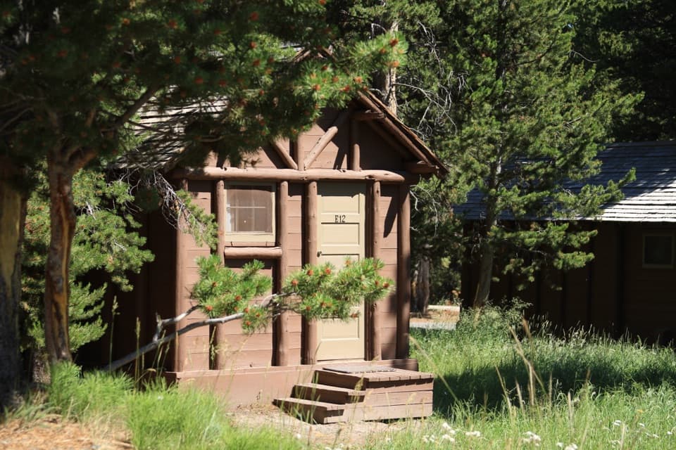 Lodging · 3.8 mi awayLake Lodge CabinsA summer cabin base with a rocking-chair view of Yellowstone Lake.
Parkwolf’s Yellowstone ranking

The audio tour guide for the drive, plus offline maps, trails, and wildlife heatmaps for when the signal drops.





