Parking
Start at Nine Mile Trailhead (5K5) on Yellowstone Lake’s east side. Parking capacity and on-site toilet or potable-water service are not specified.
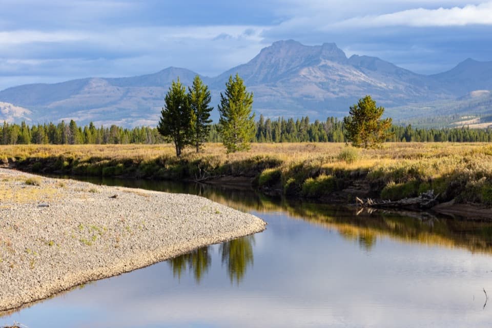
Yellowstone National Park, WY · MT · ID
A 33-mile one-way trek from lake shore into remote river country.
Overview
Map & elevation
Plan your hike

The highest, rockiest slopes around here are a summer buffet for grizzly bears.
Yellowstone Tour Guide
Parkwolf is a GPS audio tour guide for Yellowstone National Park. As you drive, it chimes in with what’s ahead: hidden gems, upcoming stops, history, geology, and wildlife, right through your car’s speakers.
See the Yellowstone audio tourRecorded for this area
Trout Eggs on the Train“Yellowstone once sent trout eggs out by train.”
Plays on the road 0.2 mi from the trailhead in the Parkwolf Yellowstone Tour Guide.
More stories near here in the app
“First time driving through a national park. We used the Yellowstone tour on grand loop Road and it’s just like having a tour guide in your car with you.”


Trail guide
The Thorofare Trail is a 33.1-mile one-way route from Nine Mile Trailhead on Yellowstone Lake’s east shore into the remote southern Thorofare. It is a multi-day backpack, not a day hike. There’s no road pickup at the far end, so plan a permitted route that continues through the southern trail network or be ready to hike back; an out-and-back is roughly 66 miles. The park rates the trail moderate, but its length, repeated fords, and isolation make this a hard commitment.
The first couple of miles pass through forest burned in 2003 and 2011. Yellowstone Lake first comes into view around mile 3.4; after Park Point and Meadow Creek, the path stays close to shore for nearly two miles. Look across the southeast arm toward the Promontory and the pale outcrop at Brimstone Basin.
Around mile 15, Terrace Point has benches left by higher lake levels. The shoreline still shifts as movement beneath Yellowstone Lake tilts its basin, so this stretch gives you a good look at both the lake’s older edges and its changing southern arms. Farther on, views open over the Yellowstone River delta toward Colter Peak.
The route reaches the Yellowstone River around mile 20, then continues through meadows, forest, and additional creeks. Trappers Creek comes near mile 23.5, and a junction near Mountain Creek leads toward Eagle Pass. The line keeps going through the remote Thorofare rather than ending at the first river view.
The two-room Thorofare Patrol Cabin was built in 1915 by the U.S. Army for backcountry patrols and is still used as a park base. It sits near the remote end of the route, not at a road-accessible pickup. Published maps place the cabin and the southern trail end at slightly different mileages; use 33.1 miles as a planning figure and confirm the exact endpoint and campsites on your backcountry map.
Several creek and river crossings require fords. The water can be swift and cold, and snowmelt can make crossings more difficult. The trail passes through or near three bear management areas, where additional access rules may apply; check current restrictions before setting out. An overnight trip requires a backcountry permit and designated campsites. Pets are not allowed on park trails or in the backcountry.
Allow about 16 hours of hiking for the one-way line, usually split across two hiking days; that estimate excludes camp time, delays, and any return route. Start at Nine Mile Trailhead (5K5) on Yellowstone Lake’s east side. Its listing identifies a trailhead and information kiosk but gives no parking capacity, toilet, or potable-water details. The remote Thorofare Trailhead (6K2) is not road-accessible.
Wildlife
 713 sightingsGrizzly BearMost seen around 6 AMSighting map
 743 sightingsWolfMost seen around 6 AMSighting map
 5,273 sightingsBisonMost seen around 7 AMSighting map
 3,258 sightingsElkMost seen around 7 PMSighting map
 397 sightingsMooseMost seen around 7 PMSighting map
 1,494 sightingsBlack BearMost seen around 7 PMSighting map
Sighting maps show where each species has been reported across Yellowstone. Wildlife moves, so no sighting is guaranteed.
Keep exploring
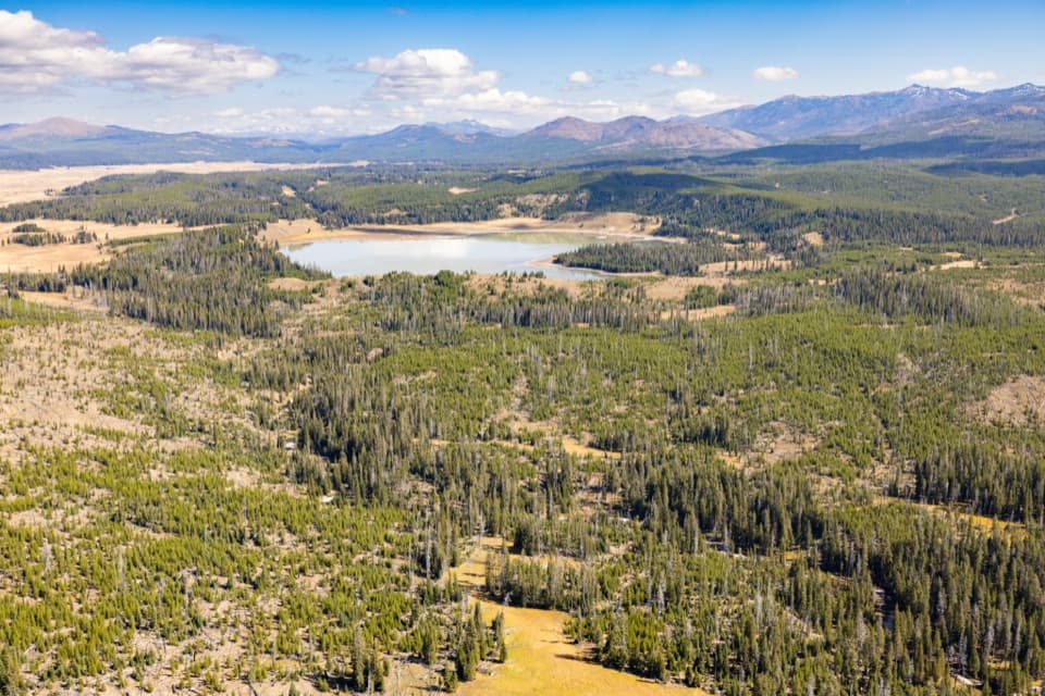 ModerateTurbid Lake Trail10.2 mi · 5 hr · At the trailheadA long old road walk through forest to Turbid Lake.
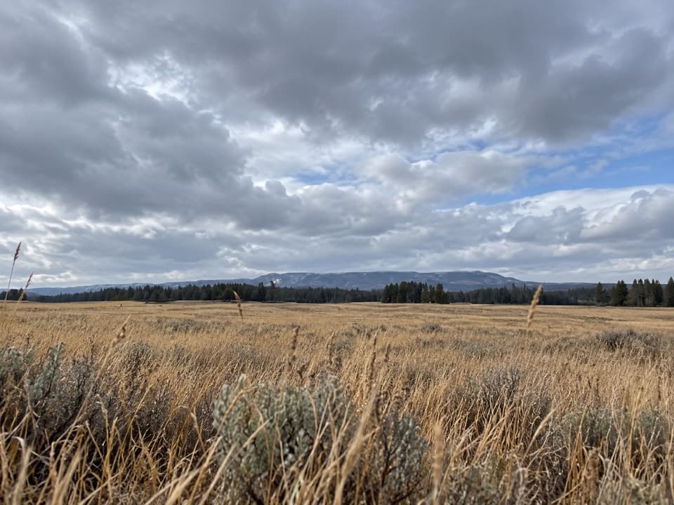 ModeratePelican Valley Trail6.2 mi · 4 hr · 4.3 mi awayCross open meadows to a creekside overlook in prime grizzly country.
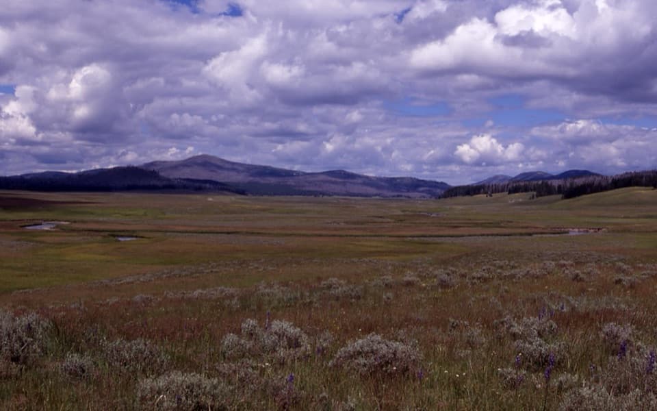 ChallengingPelican Cone Trail22.3 mi · 10 hr · 4.3 mi awayA long backcountry walk to a rare summit fire lookout.
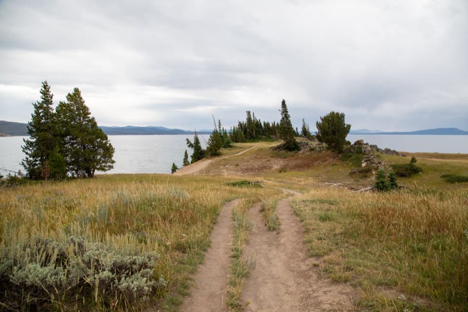 EasyStorm Point Trail2.3 mi · 1.5 hr · 4.5 mi awayA short loop from Indian Pond to a wind-swept Yellowstone Lake point.
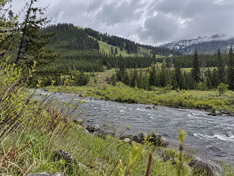 ChallengingMist Creek Trail14.3 mi · 12 hr · 4.8 mi awayBear country, a high pass, then a long descent to the Lamar.
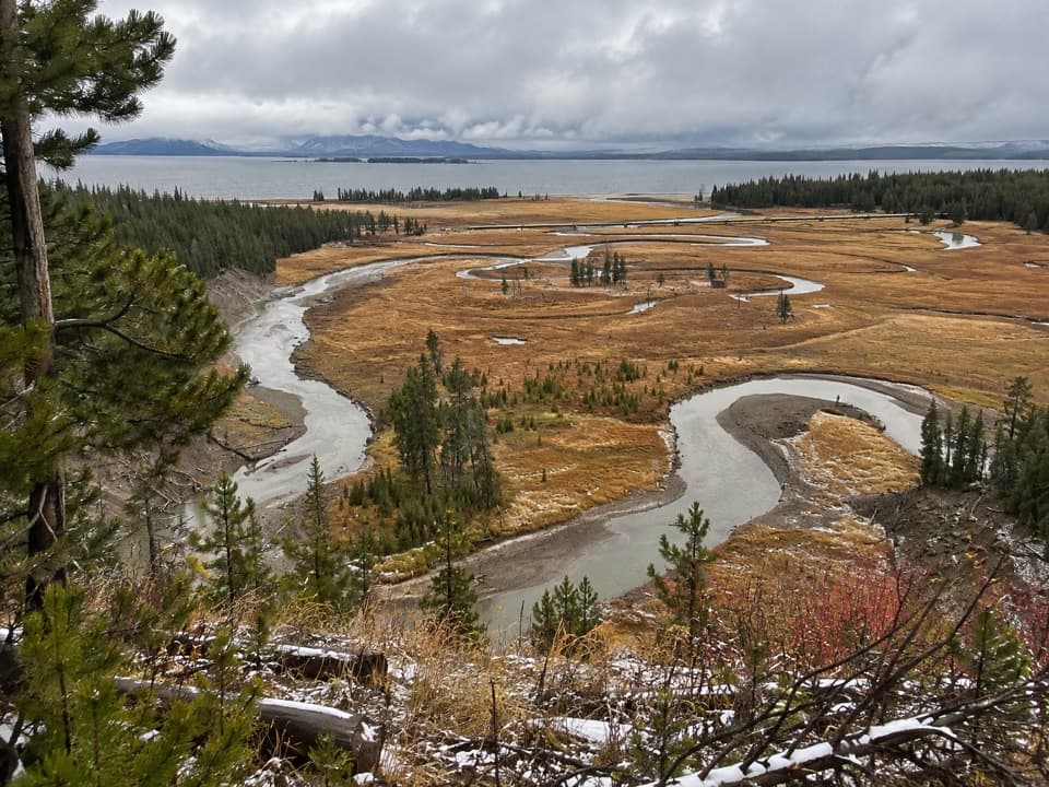 EasyPelican Creek Nature Trail0.8 mi · 45 min · 5.6 mi awayA short forest loop opens onto Pelican Creek and Yellowstone Lake.
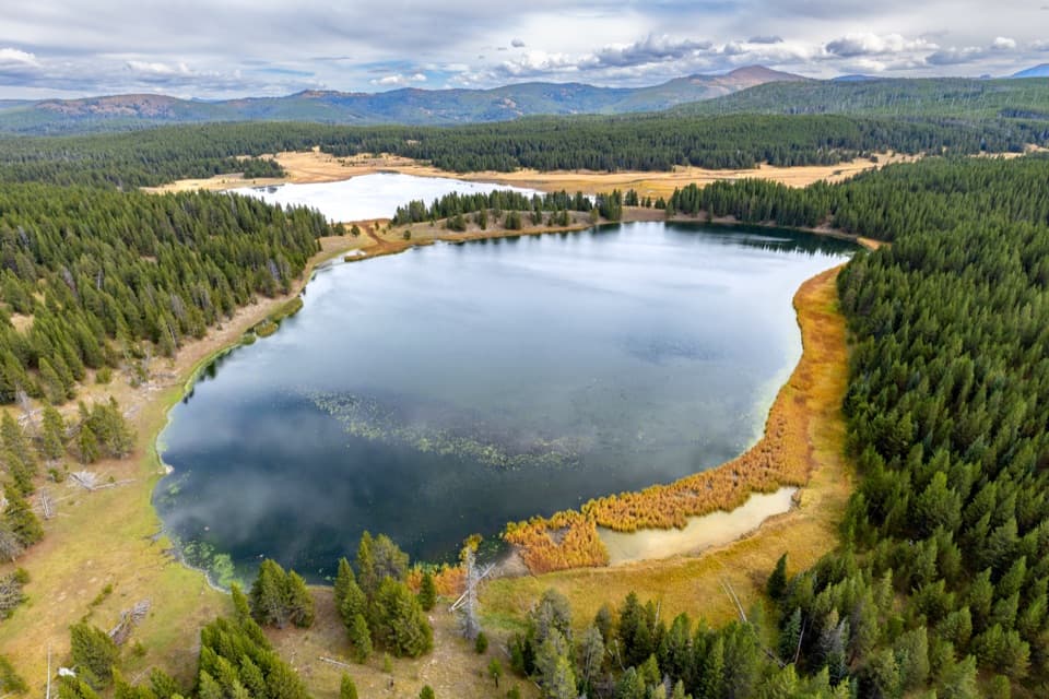 ChallengingAstringent Creek Trail9.1 mi · 6.5 hr · 6.2 mi awayA remote nine-mile connector between Pelican Valley and Wapiti trails.
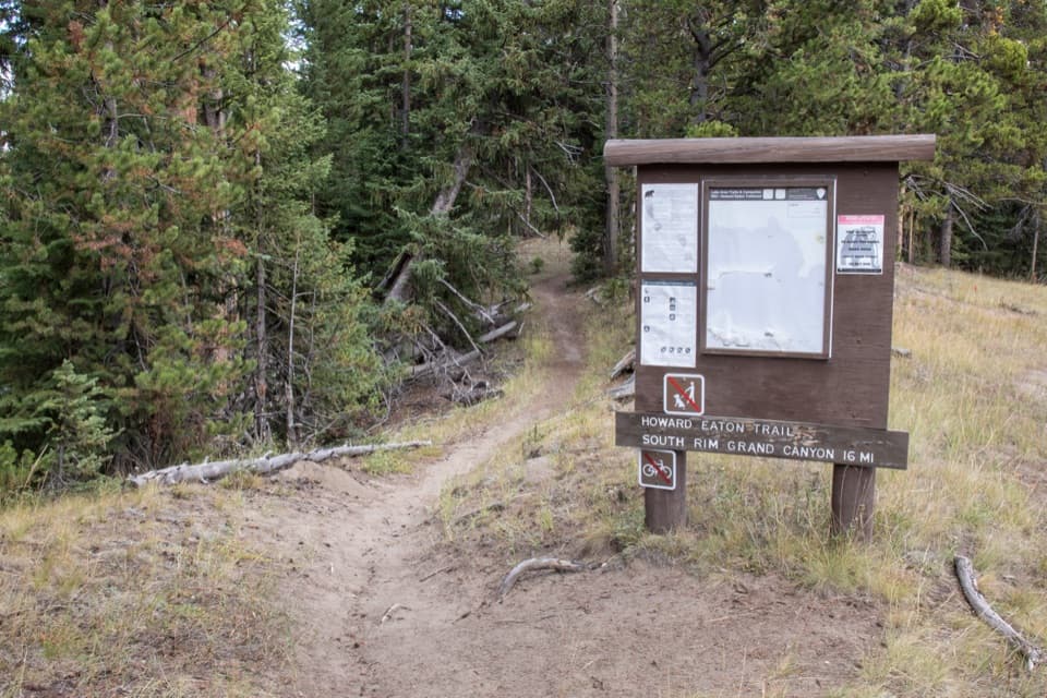 ModerateHoward Eaton Trail: Fishing Bridge to Canyon13.5 mi · 7 hr · 6.4 mi awayA long river-side traverse opens into Hayden Valley meadows.
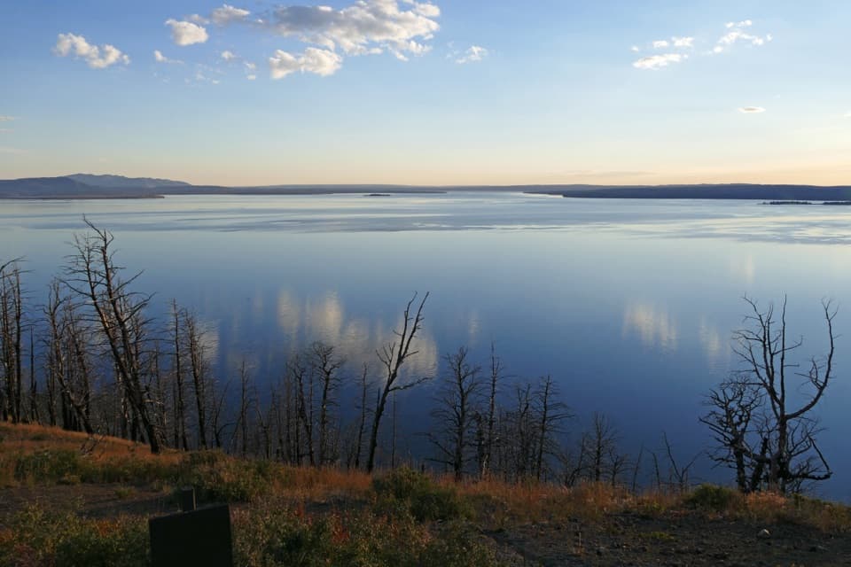 Sight · 0.3 mi awayLake Butte OverlookA short, steep spur opens a huge Yellowstone Lake panorama.
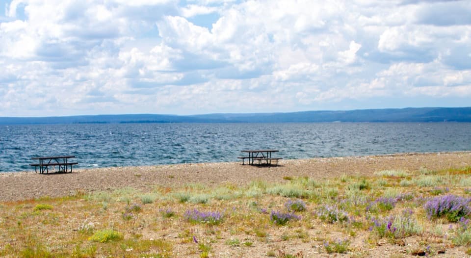 Picnic area · 1 mi awaySedge Bay Picnic AreaA simple picnic stop with broad views across a giant lake.
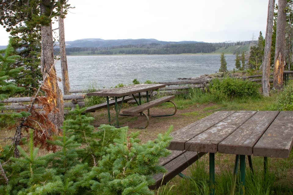 Picnic area · 2.1 mi awaySteamboat Point Picnic AreaA simple lakeside pause with four tables and a vault toilet.
 Picnic area · 6.1 mi awaySylvan Lake Picnic AreaA shady picnic beside a stream, with the lake across the road.
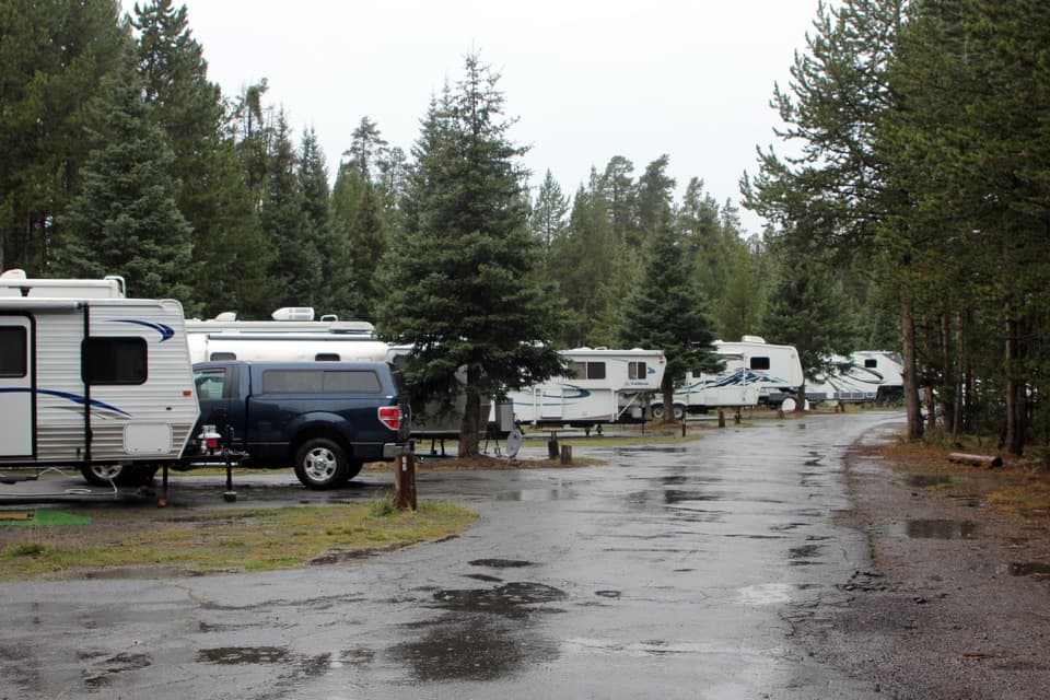 Campground · 6.2 mi awayFishing Bridge RV ParkYellowstone’s only full-hookup campground; tents aren’t allowed.
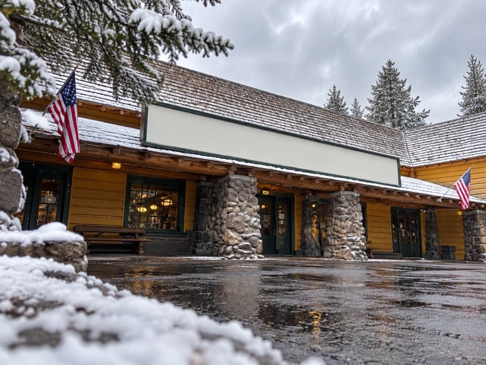 Store · 6.4 mi awayFishing Bridge General StoreGroceries, ice cream and a grill make this a useful park stop.
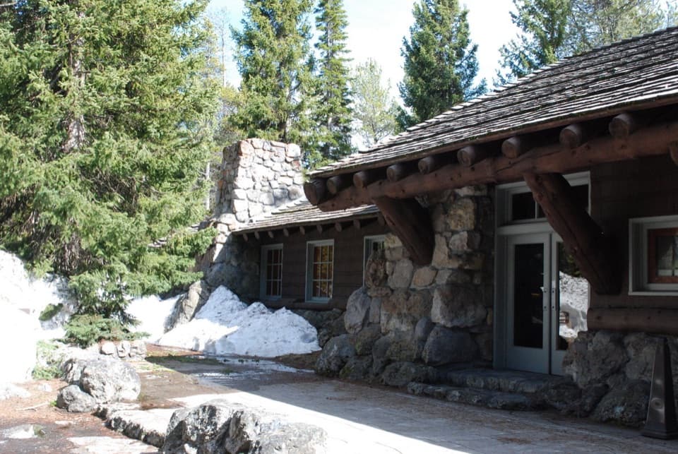 Visitor center · 6.4 mi awayFishing Bridge Visitor Center and Trailside MuseumStep into a bird museum with Yellowstone Lake just beyond the windows.
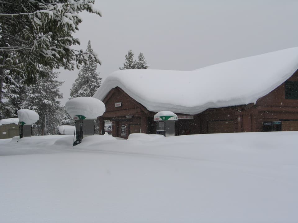 Gas station · 6.4 mi awayFishing Bridge Gas and Service StationA handy stop for fuel, repairs, towing and propane.
Parkwolf’s Yellowstone ranking

The audio tour guide for the drive, plus offline maps, trails, and wildlife heatmaps for when the signal drops.