Parking
Bacon Rind Trailhead WK4 is at the end of a short gravel road on the west side of U.S. 191. Parking capacity and fee information were not found.
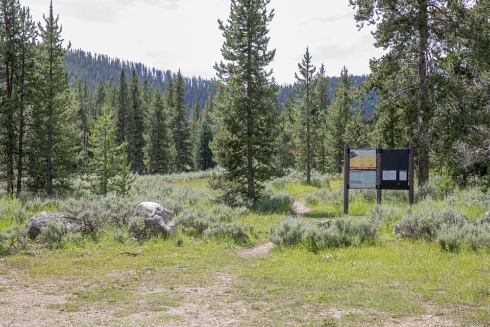
Yellowstone National Park, WY · MT · ID
A creekside meadow leads to a long climb and alpine views.
Overview
Map & elevation
Plan your hike

The highest, rockiest slopes around here are a summer buffet for grizzly bears.
Yellowstone Tour Guide
Parkwolf is a GPS audio tour guide for Yellowstone National Park. As you drive, it chimes in with what’s ahead: hidden gems, upcoming stops, history, geology, and wildlife, right through your car’s speakers.
See the Yellowstone audio tourRecorded for this trailhead
Bacon Rind Trailhead“You're nearing the access road for Bacon Rind Trail, where a mostly level opening follows a willow-lined creek meadow.”
Plays as you drive up to this trailhead in the Parkwolf Yellowstone Tour Guide.
More stories near here in the app
“First time driving through a national park. We used the Yellowstone tour on grand loop Road and it’s just like having a tour guide in your car with you.”


Trail guide
Bacon Rind Trail is a cross-boundary out-and-back from WK4, off U.S. 191. It follows Bacon Rind Creek west out of Yellowstone, climbs into Custer Gallatin National Forest and the Lee Metcalf Wilderness, and reaches a junction with Skyline Trail. The full mapped trail is 7.05 miles one way, about 14.1 miles round trip; allow roughly 8–9 hours. The park also describes a 10.2-mile round trip to high alpine meadows, an earlier turnaround before the junction. A much shorter 5-mile creek walk turns around shortly past the park boundary.
The first 2.2 miles are mostly level along the north side of Bacon Rind Creek as it meanders through a narrow grassy meadow. Willows line parts of the creek and make good moose habitat. At the Yellowstone boundary, the trail crosses Migration Creek; the surrounding ground can be marshy in early summer.
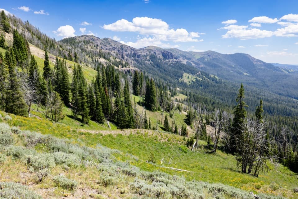
Past the crossing, the route climbs steeply through mature forest, gaining about 2,200 feet over the next three miles to a bench on Red Mountain’s southwest side. Some forest burned in 2017. Higher up, the meadow and valley views open out. The full mapped route continues to the Skyline Trail junction at mile 7.05; turn around there and retrace the same path.
This is a hard, long day in grizzly country. The park recommends hiking in groups of three or more and carrying bear spray; pets aren’t allowed on the park trail. The trailhead is at the end of a short gravel road west of U.S. 191. Potable water isn’t available there, and restroom information isn’t listed. The park’s permit requirements name overnight camping, fishing, boating and riding, not day hiking. Mosquitoes can be troublesome in early summer.
Wildlife
 713 sightingsGrizzly BearMost seen around 6 AMSighting map
 743 sightingsWolfMost seen around 6 AMSighting map
 5,273 sightingsBisonMost seen around 7 AMSighting map
 3,258 sightingsElkMost seen around 7 PMSighting map
 397 sightingsMooseMost seen around 7 PMSighting map
 1,494 sightingsBlack BearMost seen around 7 PMSighting map
Sighting maps show where each species has been reported across Yellowstone. Wildlife moves, so no sighting is guaranteed.
Keep exploring
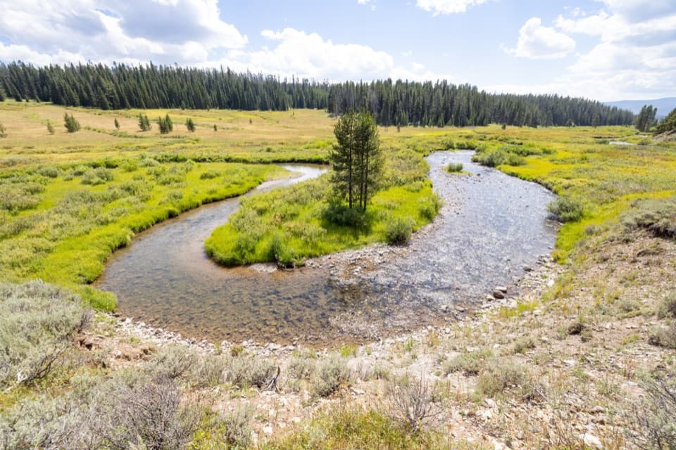 ModerateFan Creek Trail9.6 mi · 6 hr · 0.7 mi awayMeadows and creek bends make this long backcountry walk worthwhile.
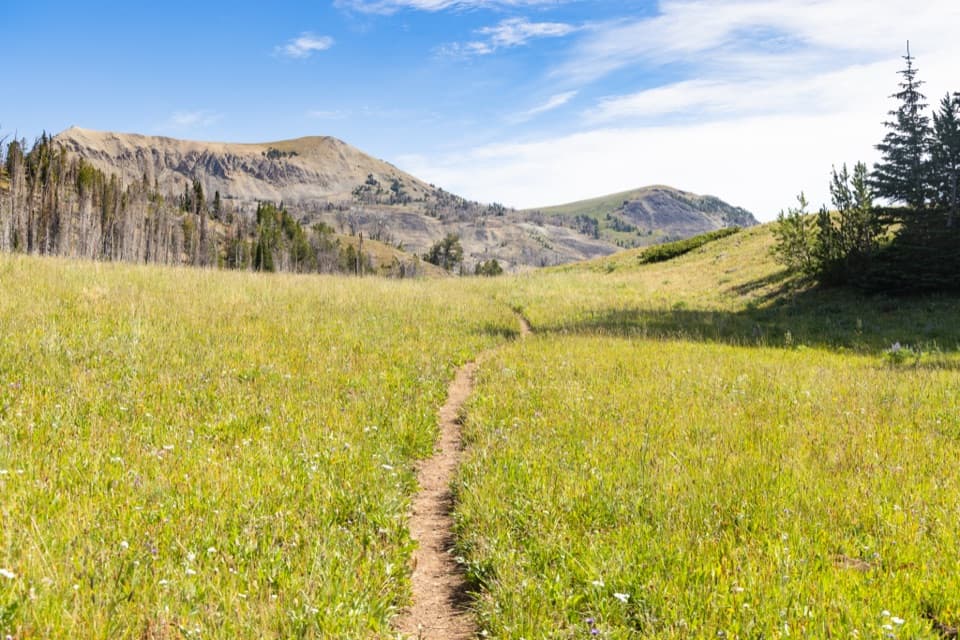 ChallengingFawn Pass Trail21 mi · 12 hr · 0.7 mi awayA 21-mile crossing over Fawn Pass into the Gallatin Range.
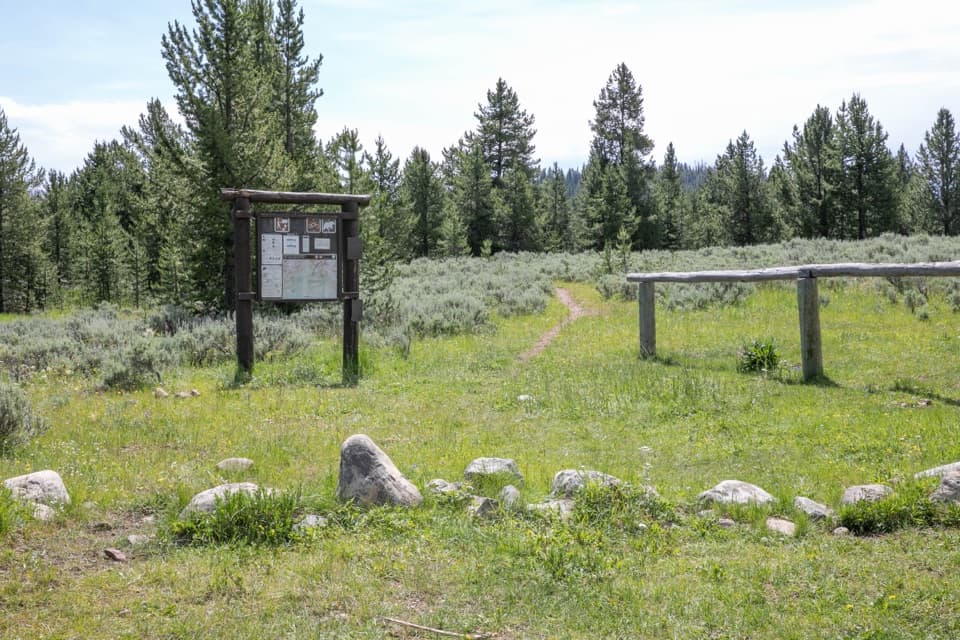 ChallengingBighorn Pass Trail19.4 mi · 10 hr · 2.2 mi awayCross the Gallatins from willow creeks to an open pass.
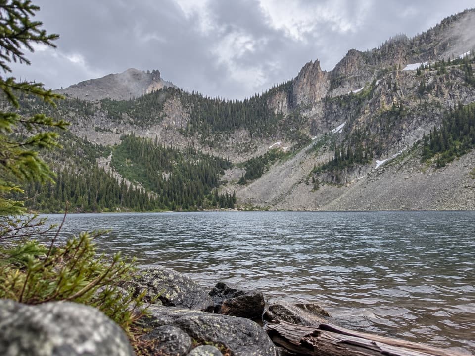 ChallengingCrescent Lake–High Lake Trail21.7 mi · 12 hr · 4 mi awayA 21.7-mile loop to two alpine lakes and a high ridge.
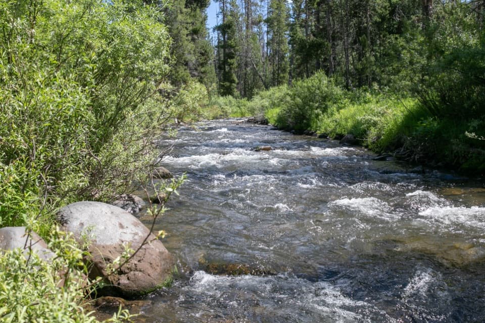 ChallengingSpecimen Creek Trail16.4 mi · 9 hr · 4 mi awayA full day along Specimen Creek, ending at Shelf Lake.
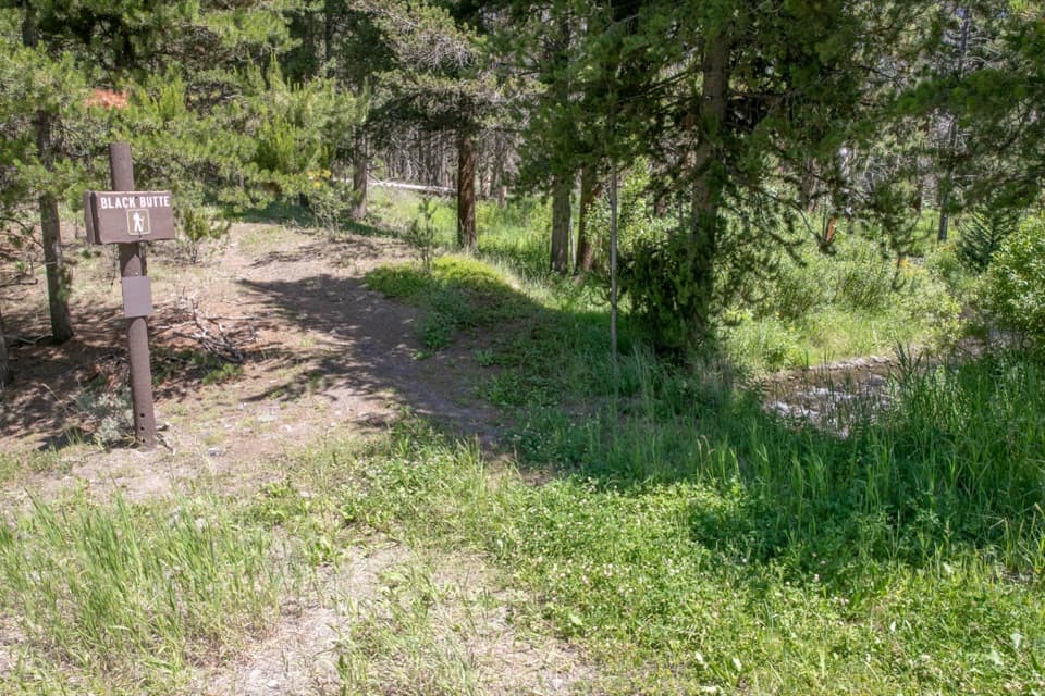 ChallengingBlack Butte Trail11.9 mi · 8 hr · 5.9 mi awayA creekside climb rises through meadows to the Sky Rim.
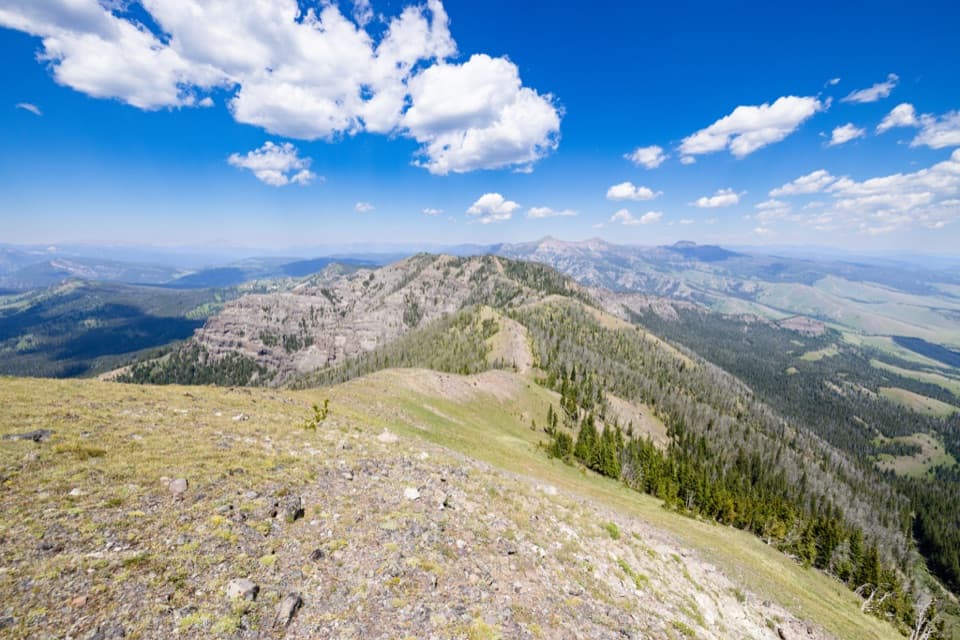 ChallengingSky Rim Loop Trail18.2 mi · 11 hr · 7.3 mi awayA rare high ridge, earned over a long exposed Yellowstone loop.
 ChallengingDailey Creek Trail10 mi · 6 hr · 7.3 mi awayLong meadows lead to a high pass with a view both ways.
Parkwolf’s Yellowstone ranking

The audio tour guide for the drive, plus offline maps, trails, and wildlife heatmaps for when the signal drops.





