Parking
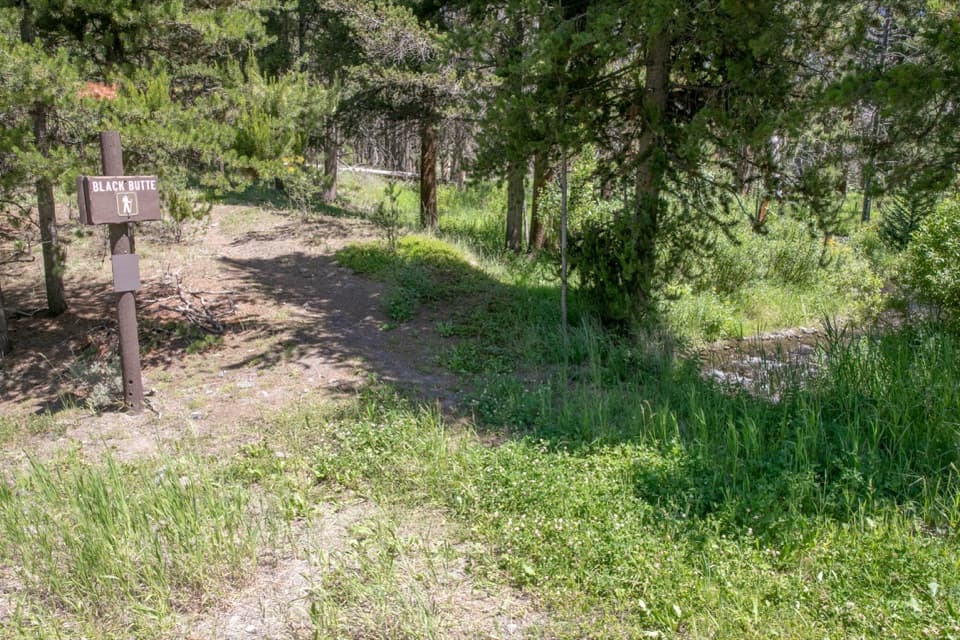
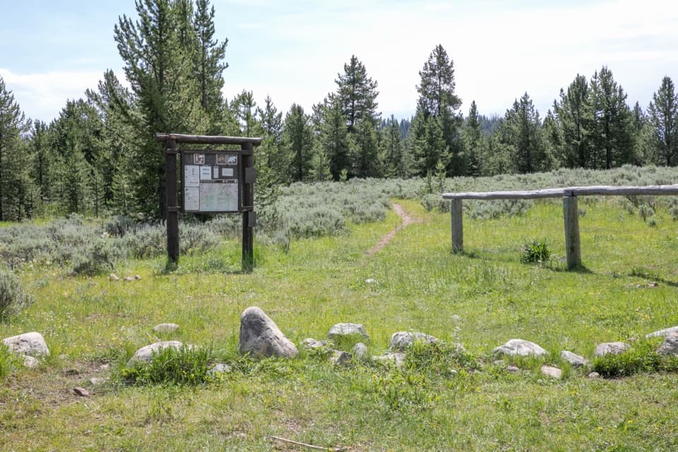
Start at Black Butte Trailhead (WK2) on the west side of US 191. After parking, walk about 100 feet north along the highway shoulder to the signed trail entrance.
Yellowstone National Park, WY · MT · ID
A creekside climb rises through meadows to the Sky Rim.
Overview
Map & elevation
Plan your hike

The highest, rockiest slopes around here are a summer buffet for grizzly bears.
Yellowstone Tour Guide
Parkwolf is a GPS audio tour guide for Yellowstone National Park. As you drive, it chimes in with what’s ahead: hidden gems, upcoming stops, history, geology, and wildlife, right through your car’s speakers.
See the Yellowstone audio tourRecorded for this trailhead
Black Butte Trailhead“You're nearing Black Butte Trailhead, for a strenuous climb from creekside forest to open meadows and Sky Rim. Allow seven to eight hours for roughly twelve miles out and back, with thirty-one hundred feet of climbing.”
Plays as you drive up to this trailhead in the Parkwolf Yellowstone Tour Guide.
More stories near here in the app
“First time driving through a national park. We used the Yellowstone tour on grand loop Road and it’s just like having a tour guide in your car with you.”


Trail guide
Black Butte Trail is a strenuous out-and-back from the Black Butte Trailhead (WK2) to the Sky Rim junction near Big Horn Peak. The mapped route is about 11.9 miles round trip, with roughly 3,100 feet of climbing; allow seven to eight hours. Published mileage varies: the park lists 11.4 miles, while longer ridge itineraries reach about 12.4. This is a substantial backcountry hike, not a quick summit stop.
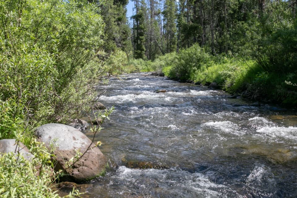
For the first couple of miles, the trail climbs through lodgepole forest and grassy openings along Black Butte Creek. Openings reveal Lava Butte and King Butte, volcanic landmarks in this forested valley. Around mile 1.9, stay on the Black Butte route at the Dailey Creek connector junction. A spur near mile 2 leads to campsite WF1. Beyond it, the tread follows King Butte’s south slopes into a wooded ravine, crosses Black Butte Creek around mile 3, then begins a long switchback climb.
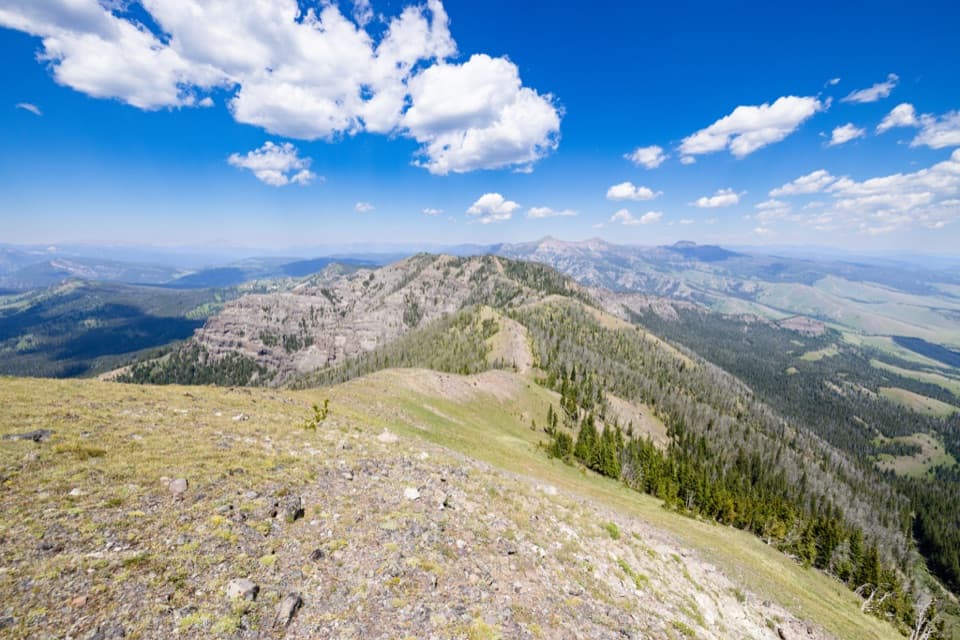
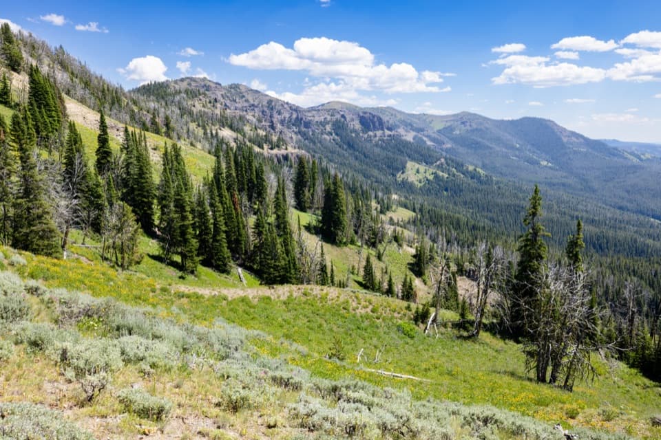
The switchbacks reach sunny meadows with views toward the Taylor-Hilgard Range. Higher up, the forest gives way to a grassy plateau with Big Horn Peak to the northwest; the Black Butte route then meets Sky Rim at roughly six miles. Turn around there for the mapped out-and-back. A short continuation on Sky Rim reaches an unnamed high point with broad views across northwest Yellowstone and Custer-Gallatin country, but adds about 0.4 mile round trip. That extension descends beside Specimen Creek’s canyon on a narrow path, so skip it if exposed edges are uncomfortable. From the open high point, frame some of the ridge in front of the broad northwest view.
WK2 is on the west side of US 191; after parking, the signed tread is a short walk north along the highway shoulder. Grizzlies frequent this area. The National Park Service recommends hiking in groups of three or more and carrying bear spray; pets are not allowed. WF1 is a backcountry campsite about two miles in, and overnight use requires a permit for a designated site. WK2 has an information kiosk; carry the food and water you need for a full day out.
Whitebark pines become more common as the trail climbs. Some are dead or declining after blister rust, pine beetles and warmer, lower-snowpack conditions. From the upper route, signs of the 2007 Owl Fire can also be seen east of the trail.
Wildlife
 713 sightingsGrizzly BearMost seen around 6 AMSighting map
 743 sightingsWolfMost seen around 6 AMSighting map
 5,273 sightingsBisonMost seen around 7 AMSighting map
 3,258 sightingsElkMost seen around 7 PMSighting map
 397 sightingsMooseMost seen around 7 PMSighting map
 1,494 sightingsBlack BearMost seen around 7 PMSighting map
Sighting maps show where each species has been reported across Yellowstone. Wildlife moves, so no sighting is guaranteed.
Keep exploring
 ChallengingSky Rim Loop Trail18.2 mi · 11 hr · 1.6 mi awayA rare high ridge, earned over a long exposed Yellowstone loop.
 ChallengingDailey Creek Trail10 mi · 6 hr · 1.6 mi awayLong meadows lead to a high pass with a view both ways.
 ChallengingSpecimen Creek Trail16.4 mi · 9 hr · 2.3 mi awayA full day along Specimen Creek, ending at Shelf Lake.
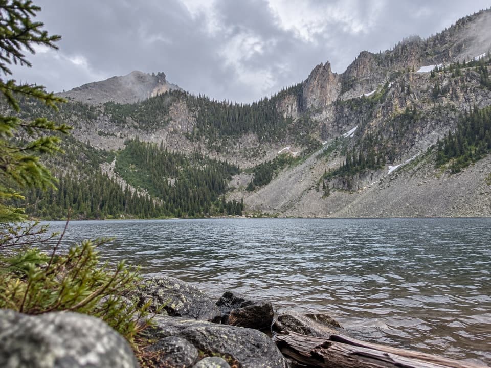 ChallengingCrescent Lake–High Lake Trail21.7 mi · 12 hr · 2.3 mi awayA 21.7-mile loop to two alpine lakes and a high ridge.
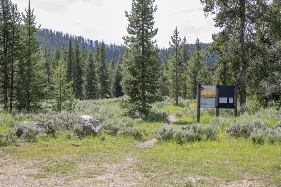 ChallengingBacon Rind Trail14.1 mi · 8.5 hr · 5.9 mi awayA creekside meadow leads to a long climb and alpine views.
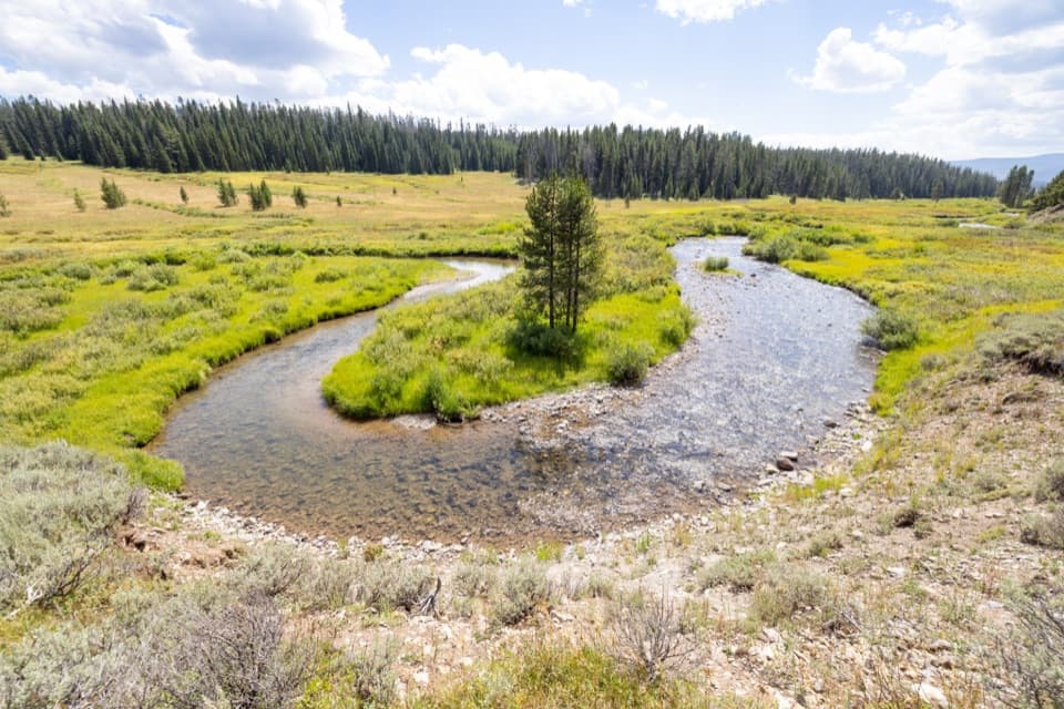 ModerateFan Creek Trail9.6 mi · 6 hr · 6.4 mi awayMeadows and creek bends make this long backcountry walk worthwhile.
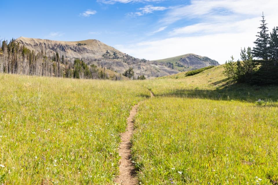 ChallengingFawn Pass Trail21 mi · 12 hr · 6.4 mi awayA 21-mile crossing over Fawn Pass into the Gallatin Range.
 ChallengingBighorn Pass Trail19.4 mi · 10 hr · 8 mi awayCross the Gallatins from willow creeks to an open pass.
Parkwolf’s Yellowstone ranking

The audio tour guide for the drive, plus offline maps, trails, and wildlife heatmaps for when the signal drops.





