Parking
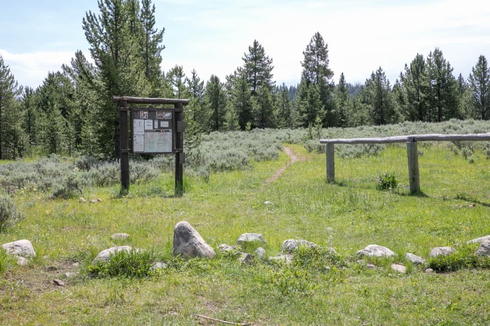
Start and finish at Dailey Creek Trailhead (WK1) on US 191. The NPS lists an information kiosk at the trailhead but does not publish parking capacity or a fee.
Yellowstone National Park, WY · MT · ID
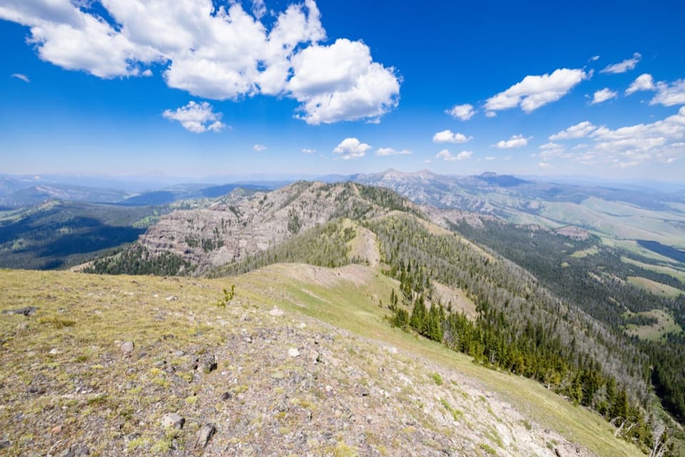
A rare high ridge, earned over a long exposed Yellowstone loop.
Overview
Map & elevation
Plan your hike

The highest, rockiest slopes around here are a summer buffet for grizzly bears.
Yellowstone Tour Guide
Parkwolf is a GPS audio tour guide for Yellowstone National Park. As you drive, it chimes in with what’s ahead: hidden gems, upcoming stops, history, geology, and wildlife, right through your car’s speakers.
See the Yellowstone audio tourRecorded for this trailhead
Dailey Creek and Sky Rim“You're nearing Dailey Creek Trailhead, where Sky Rim begins with an open meadow walk before climbing onto a high ridge. The full loop is eighteen point two miles and takes about eleven hours, with sustained climbing.”
Plays as you drive up to this trailhead in the Parkwolf Yellowstone Tour Guide.
More stories near here in the app
“First time driving through a national park. We used the Yellowstone tour on grand loop Road and it’s just like having a tour guide in your car with you.”


Trail guide
Sky Rim Loop Trail is an 18.2-mile circuit from Dailey Creek Trailhead (WK1) through Yellowstone's remote Gallatin Range. It climbs the Dailey Creek valley to Dailey Pass, follows the high Sky Rim ridge toward Big Horn Peak, then descends by Black Butte and the Black Butte–Daly Creek Cutoff. Allow about 11 hours and expect roughly 4,600 feet of climbing. This is a strenuous day for hikers ready for sustained climbing, exposure, and a remote route; skip it if you're short on time or uncomfortable on steep, airy ground. The loop leaves the ridge near Big Horn; a separate, longer traverse continues toward Shelf Lake and Specimen Creek.
The walk starts across open subalpine meadows beside Dailey Creek, with Crown Butte filling much of the valley view. Keep going past the Black Butte–Daly Creek Cutoff junction and climb toward Dailey Pass; the grade steepens as the route leaves the lower valley. The ridge is a sequence of rocky rises, grassy shelves, and tree-covered saddles, with several exposed sections. Near Big Horn Peak, loose footing and a short narrow rocky crest make careful steps more useful than speed.
From the Big Horn junction, the mapped circuit turns down the Black Butte Trail, then follows the cutoff back to lower Daly Creek. It retraces about 1.8 miles of the approach to reach the same trailhead. Don't add the eastward continuation toward Sheep Mountain unless you've planned a different route and exit.
Once you gain the ridge, views open over the Upper Dailey Creek Basin and across the Gallatin Range. Big Horn Peak is a small summit with a wide mountain panorama; Sheep Mountain's dark summit reflector is an unusual landmark farther along the skyline. Near an overlook above the basin, a petrified tree stump rises from broken rock. It's an easy feature to miss if you're watching only the footing; look for it where the view opens through the trees. For a photo, include both the stump and the basin below; a close shot loses the scale of the ridge.
Water is not dependable high on the ridge, so carry what you need before leaving the valley and do not count on the small upper creek. The open crest is exposed to thunderstorms; descend from high ground if storms approach. Grizzlies frequent the Black Butte area. Yellowstone prohibits pets on these backcountry trails and requires a backcountry permit for overnight camping; this mapped circuit is a day hike.
Start and finish at Dailey Creek Trailhead (WK1) on US 191. The separate Sky Rim Trailhead (WN1) is a remote boundary access, not a drive-to starting point.
Wildlife
 713 sightingsGrizzly BearMost seen around 6 AMSighting map
 743 sightingsWolfMost seen around 6 AMSighting map
 5,273 sightingsBisonMost seen around 7 AMSighting map
 3,258 sightingsElkMost seen around 7 PMSighting map
 397 sightingsMooseMost seen around 7 PMSighting map
 1,494 sightingsBlack BearMost seen around 7 PMSighting map
Sighting maps show where each species has been reported across Yellowstone. Wildlife moves, so no sighting is guaranteed.
Keep exploring
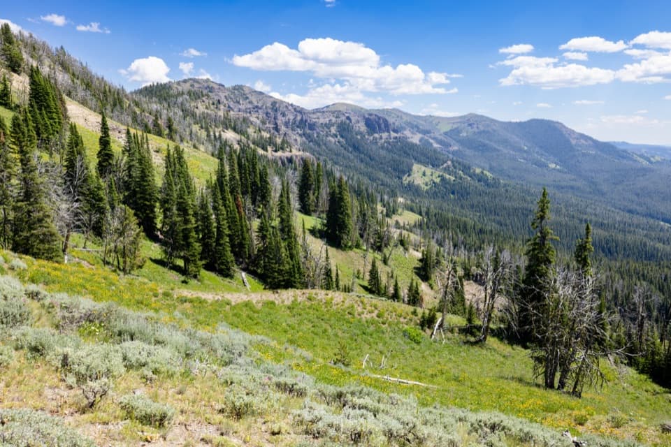 ChallengingDailey Creek Trail10 mi · 6 hr · At the trailheadLong meadows lead to a high pass with a view both ways.
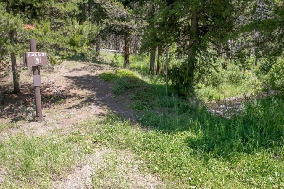 ChallengingBlack Butte Trail11.9 mi · 8 hr · 1.6 mi awayA creekside climb rises through meadows to the Sky Rim.
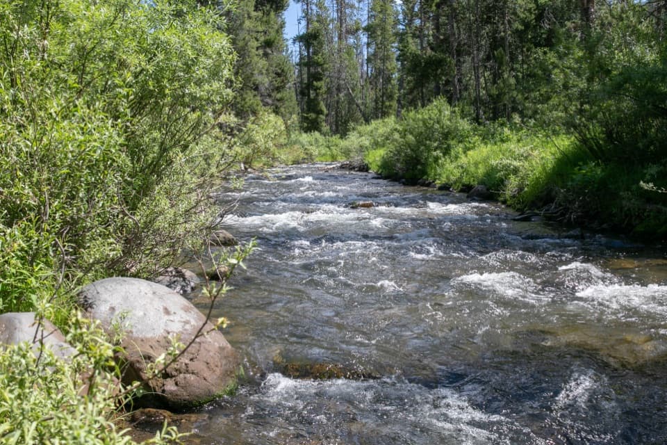 ChallengingSpecimen Creek Trail16.4 mi · 9 hr · 3.8 mi awayA full day along Specimen Creek, ending at Shelf Lake.
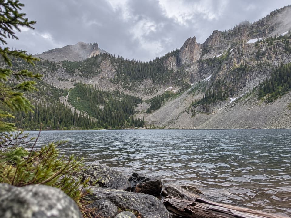 ChallengingCrescent Lake–High Lake Trail21.7 mi · 12 hr · 3.8 mi awayA 21.7-mile loop to two alpine lakes and a high ridge.
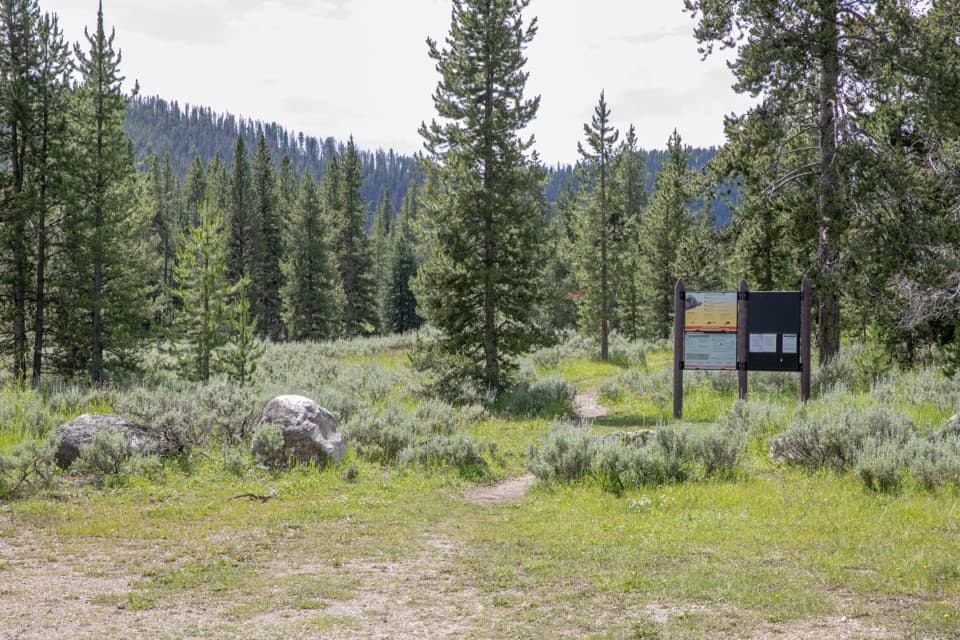 ChallengingBacon Rind Trail14.1 mi · 8.5 hr · 7.3 mi awayA creekside meadow leads to a long climb and alpine views.
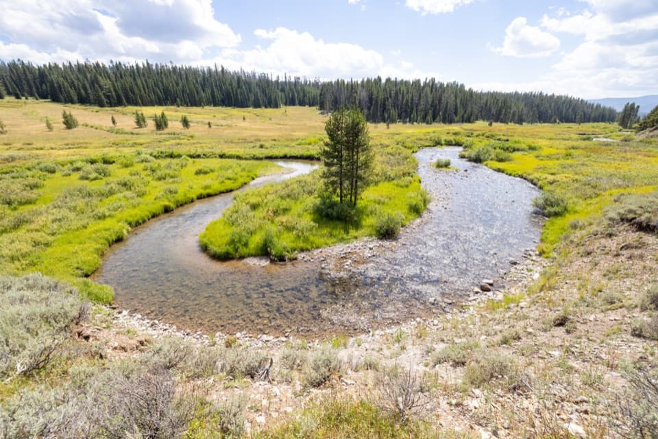 ModerateFan Creek Trail9.6 mi · 6 hr · 7.8 mi awayMeadows and creek bends make this long backcountry walk worthwhile.
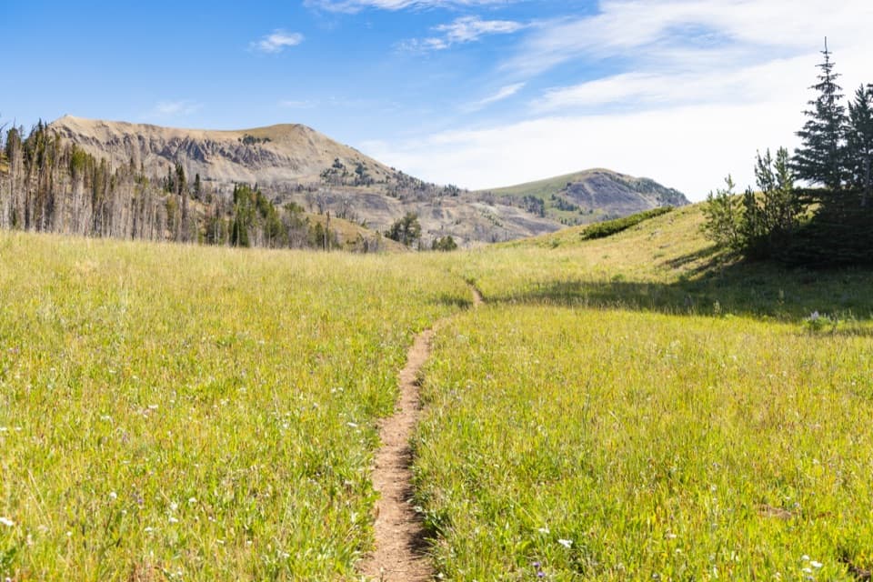 ChallengingFawn Pass Trail21 mi · 12 hr · 7.8 mi awayA 21-mile crossing over Fawn Pass into the Gallatin Range.
 ChallengingBighorn Pass Trail19.4 mi · 10 hr · 9.4 mi awayCross the Gallatins from willow creeks to an open pass.
Parkwolf’s Yellowstone ranking

The audio tour guide for the drive, plus offline maps, trails, and wildlife heatmaps for when the signal drops.





