Place · 11.6 mi away
Challenging

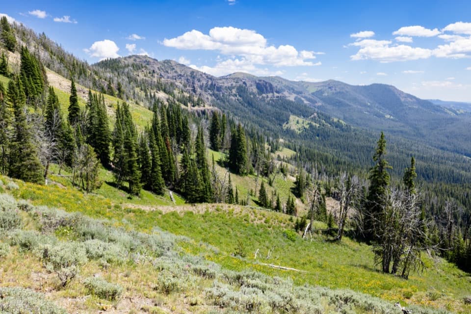
If you want one Yellowstone hike that feels like a full-on traverse, this is it. Bighorn Pass Trail runs roughly 19 miles one way between Indian Creek (east) and US‑191 (west), or about 21.2 miles total if you go out-and-back just to the pass. Expect around 2,000 feet of climbing to Bighorn Pass at 9,075 feet—long, committing, and absolutely rewarding. This is grizzly country with real stream fords and big, breezy alpine meadows—plan and pack like it matters. [nps.gov](https://www.nps.gov) [hikingproject.com](https://www.hikingproject.com)
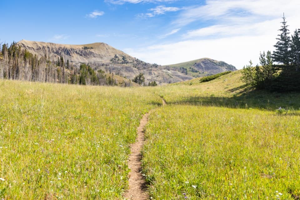
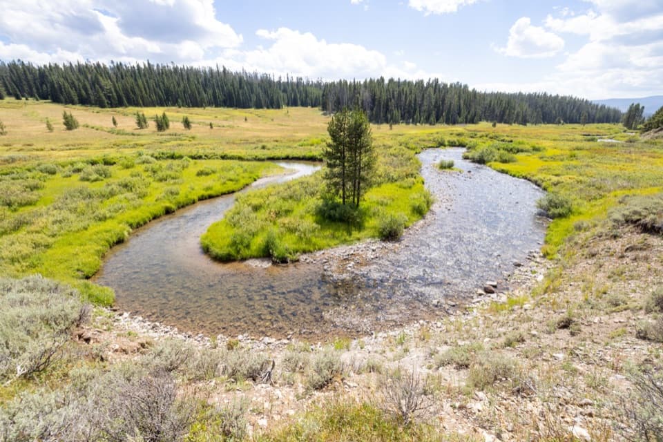
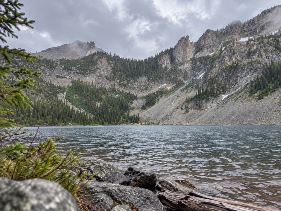
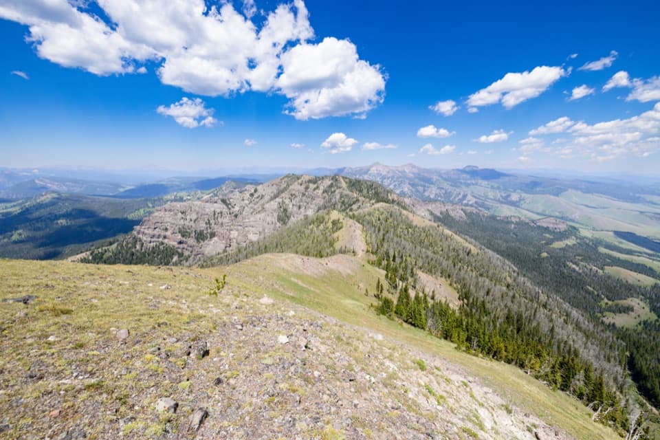
East to west is the classic flow: start near Indian Creek Campground, wander through riparian meadows along Indian and Panther Creeks, then grind a steady climb to the open saddle of Bighorn Pass with sweeping views toward Bannock Peak and Quadrant Mountain. From the pass, you drop into the Gallatin drainage and follow broad, wildlife-rich meadows to the US‑191 trailhead. The variety is the draw—lush creek bottoms, intermittent forest, alpine openness, then a wide river valley. In summer, wildflowers light up the meadows; keep your eyes peeled for elk, moose, bison, and, fittingly, bighorn sheep on nearby slopes. [hikingproject.com](https://www.hikingproject.com)
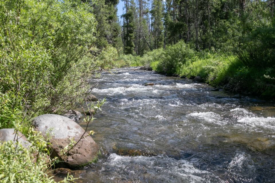
This is a strenuous day for strong hikers or a fine overnight for those who want to linger. Multiple unbridged stream crossings are likely (waters are cold and swift), and the trail can be faint across meadows—bring a real map and know how to use it. Wind is common at the pass; biting insects show up mid‑summer. Early season often means lingering snowfields near the pass; waterproof footwear and poles are smart choices. There’s a bridge over the Gallatin near US‑191, but don’t count on bridges elsewhere. [nps.gov](https://www.nps.gov) [hikingproject.com](https://www.hikingproject.com)
The eastern creeks and western Gallatin corridor are prime for wildlife viewing—give everything lots of space. The corridor also overlaps historic travel routes used by Bannock, Shoshone, and Nez Perce peoples en route to buffalo hunting grounds in the 19th century. On the west side, you’ll follow the Gallatin—one of the three rivers that converge to form the Missouri—threading a classic Yellowstone mountain valley. [hikingproject.com](https://www.hikingproject.com)
This area is a Bear Management Area: stay on designated trails when open, hike in tight groups, make noise, and carry bear spray where you can grab it fast. Follow all food storage rules; backcountry camping requires a permit, and campfires are only in designated rings. Pets, hunting, and wheeled or motorized uses aren’t allowed on this trail. Rivers are cold and powerful—treat every crossing with respect. At the pass, manage lightning risk by avoiding ridgelines and isolated trees when storms build. [nps.gov](https://www.nps.gov)
Late July through September typically offers the least snow on the pass and more predictable fords. Start early for cooler temps, steadier footing on stream rocks, and calmer winds up high. Weekdays see fewer people. Shoulder seasons can be lovely but come with lingering snow, higher, colder water, and more volatile weather—bring layers and be ready to turn around.
A car shuttle makes this trail shine; the thru‑hike feels like a true crossing of the Gallatin Range. If you’re day‑hiking westbound, you front‑load the scenery and finish with a mellow river‑meadow cruise; eastbound saves the steeper climb for late—great if you prefer to climb before descending back to your car. If you’re only after the pass, an out‑and‑back from either side delivers the views without the shuttle. [hikingproject.com](https://www.hikingproject.com)
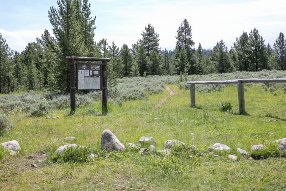
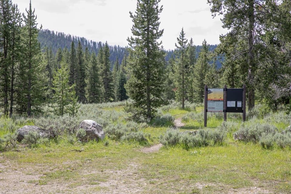
Stage a shuttle: east end near Indian Creek Campground; west end at the US‑191 trailhead along the Gallatin River. Parking is at each trailhead; do not block gates or travel lanes.
Bear Management Area with frequent grizzly activity; carry bear spray and follow food storage rules. Expect cold, swift, often unbridged creek fords, lingering snow near the pass into summer, strong winds, and lightning exposure on the ridge. Trail can be faint in meadows—carry a map and navigate.