Parking
Fawn Pass Trailhead (WK5) is on the east side of US 191 in northwest Yellowstone. The park lists an information kiosk there; parking capacity, toilets and drinking water were not confirmed.
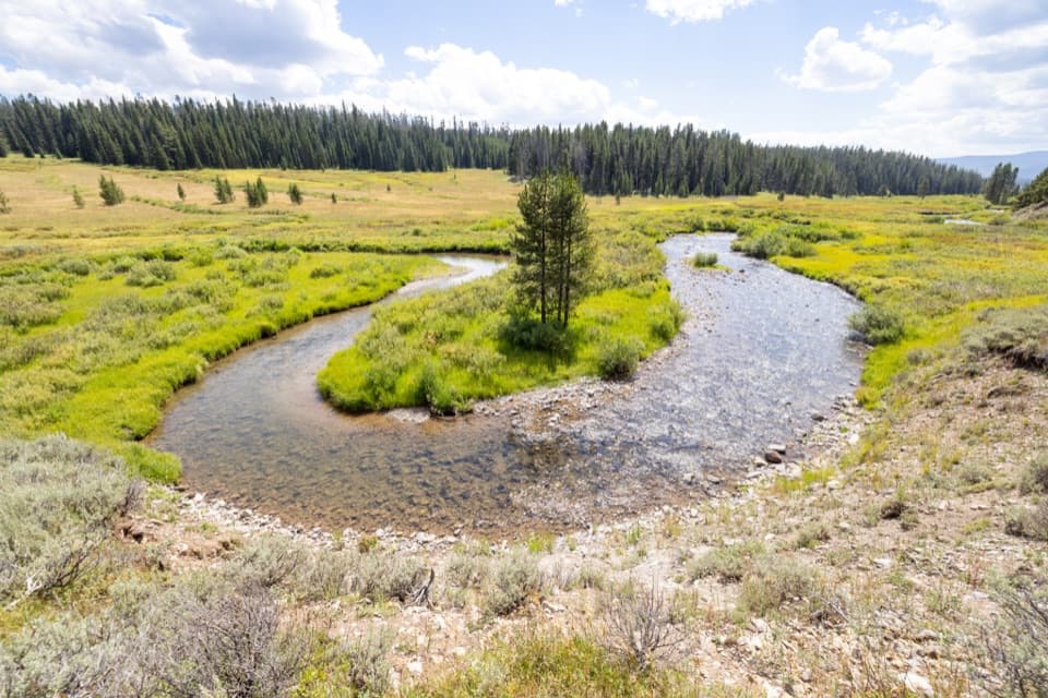
Yellowstone National Park, WY · MT · ID
Meadows and creek bends make this long backcountry walk worthwhile.
Overview
Past the main ford, Fan Creek meanders through a long, nearly level meadow valley. Gaps in the pines look up the valley toward Joseph Peak. The trail rolls on to the WC3 campsite spur at about mile 4.7; turn around there for the route represented here. The WC2 and WC3 spurs lead to backcountry campsites, and overnight camping requires a permit. For a photo, frame one of Fan Creek’s bends with the meadow and far tree line so the looping water reads clearly.
 Parkwolf’s verdictThe valley is the payoff
Map & elevation
Plan your hike

The highest, rockiest slopes around here are a summer buffet for grizzly bears.
Yellowstone Tour Guide
Parkwolf is a GPS audio tour guide for Yellowstone National Park. As you drive, it chimes in with what’s ahead: hidden gems, upcoming stops, history, geology, and wildlife, right through your car’s speakers.
See the Yellowstone audio tourRecorded for this trailhead
Fawn Pass and Fan Creek Trailhead“Fawn Pass Trailhead is ahead, the start of a long walk from forest and creek meadows into open alpine country.”
Plays as you drive up to this trailhead in the Parkwolf Yellowstone Tour Guide.
More stories near here in the app
“First time driving through a national park. We used the Yellowstone tour on grand loop Road and it’s just like having a tour guide in your car with you.”


Trail guide
Fan Creek Trail is a backcountry out-and-back from Fawn Pass Trailhead through forest and open meadow to the Fan Creek valley. The longer walk to the WC3 campsite spur is about 9.6 miles round trip; allow about six hours, with roughly 1,000 feet of climbing. The grade is mostly gentle and rolling, and the reward builds as the valley opens rather than arriving at one summit or waterfall. A shorter 2.4-mile return to the Fan Creek junction is an early turnaround; it skips the main creek crossing and most of the valley.
The route starts on Fawn Pass Trail, dropping toward the Gallatin River meadows and crossing the river on several short footbridges. It then climbs gradually through open lodgepole pine, with Fan Creek nearby but often hidden by trees. At about 1.3 miles, leave the right-hand Fawn Pass route and take the left branch toward Fan Creek; Fawn Pass continues uphill to the right.
An unnamed tributary crossing comes around mile 1.9, followed by the WC2 campsite spur near mile 2.5. At about mile 2.9, the unimproved Fan Creek ford is the toughest part of the walk. One late-July account describes knee-deep water; spring snowmelt can make the crossing dangerous. Check current water conditions before committing. Beyond it, the trail winds through a wooded ravine, climbs along the hillside, then crosses another tributary around mile 4.1.
Grizzlies frequent this area. At the Fawn Pass access, the park recommends groups of four or more; from May 1 through November 10, travel is restricted to designated trails. Carry bear spray and know how to use it. Pets are not allowed on park trails.
Wildlife
 713 sightingsGrizzly BearMost seen around 6 AMSighting map
 743 sightingsWolfMost seen around 6 AMSighting map
 5,273 sightingsBisonMost seen around 7 AMSighting map
 3,258 sightingsElkMost seen around 7 PMSighting map
 397 sightingsMooseMost seen around 7 PMSighting map
 1,494 sightingsBlack BearMost seen around 7 PMSighting map
Sighting maps show where each species has been reported across Yellowstone. Wildlife moves, so no sighting is guaranteed.
Keep exploring
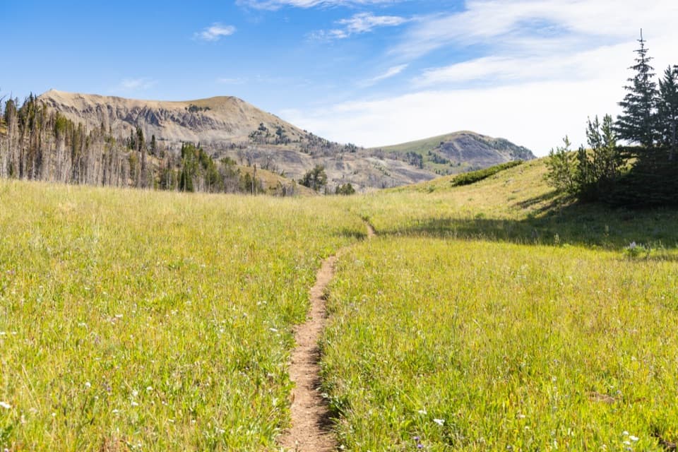 ChallengingFawn Pass Trail21 mi · 12 hr · At the trailheadA 21-mile crossing over Fawn Pass into the Gallatin Range.
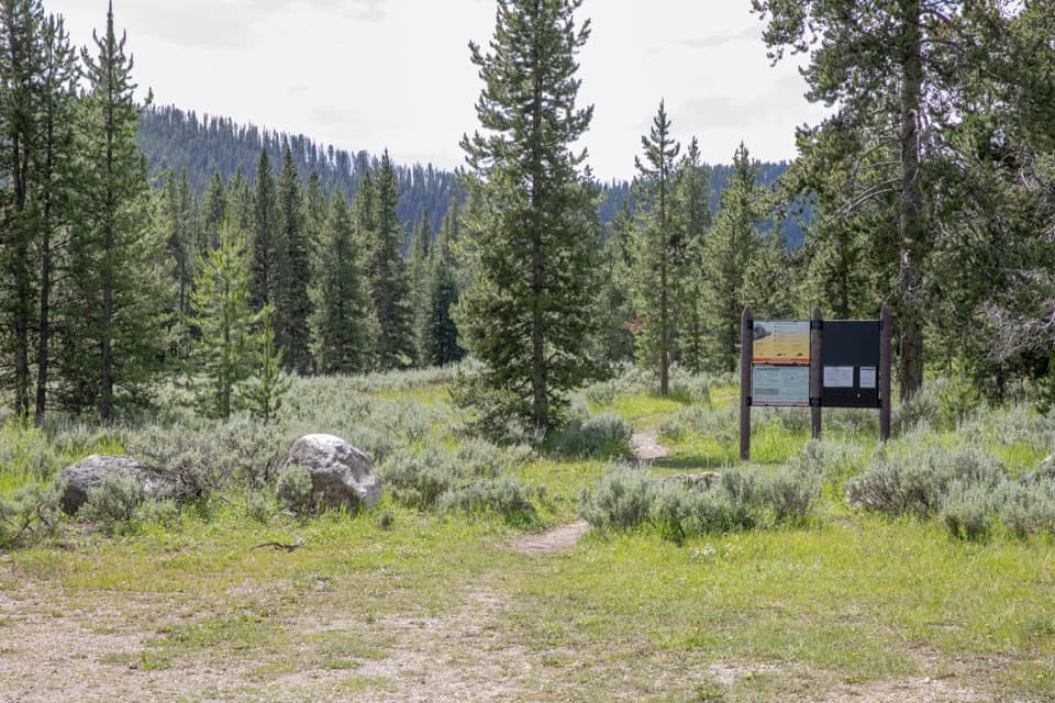 ChallengingBacon Rind Trail14.1 mi · 8.5 hr · 0.7 mi awayA creekside meadow leads to a long climb and alpine views.
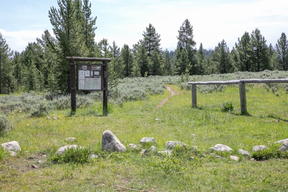 ChallengingBighorn Pass Trail19.4 mi · 10 hr · 1.6 mi awayCross the Gallatins from willow creeks to an open pass.
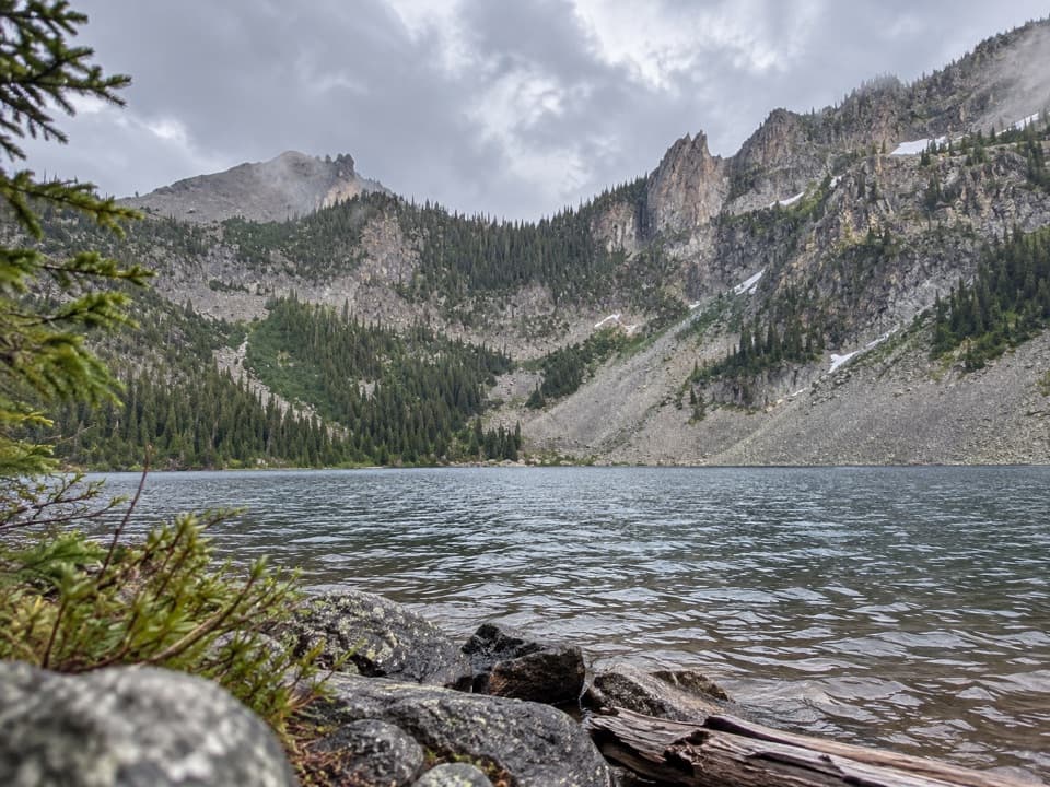 ChallengingCrescent Lake–High Lake Trail21.7 mi · 12 hr · 4.4 mi awayA 21.7-mile loop to two alpine lakes and a high ridge.
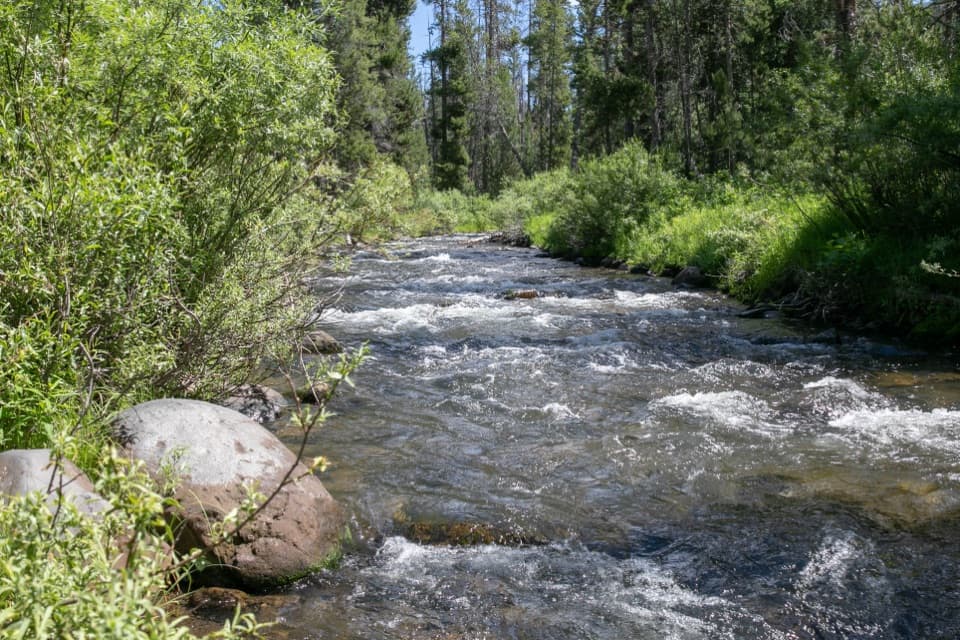 ChallengingSpecimen Creek Trail16.4 mi · 9 hr · 4.4 mi awayA full day along Specimen Creek, ending at Shelf Lake.
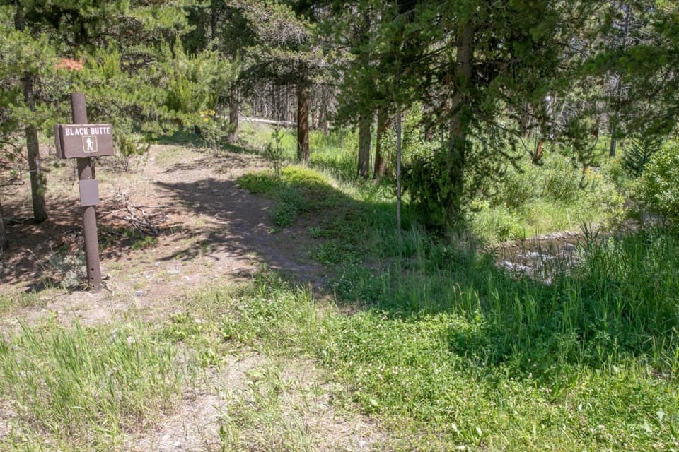 ChallengingBlack Butte Trail11.9 mi · 8 hr · 6.4 mi awayA creekside climb rises through meadows to the Sky Rim.
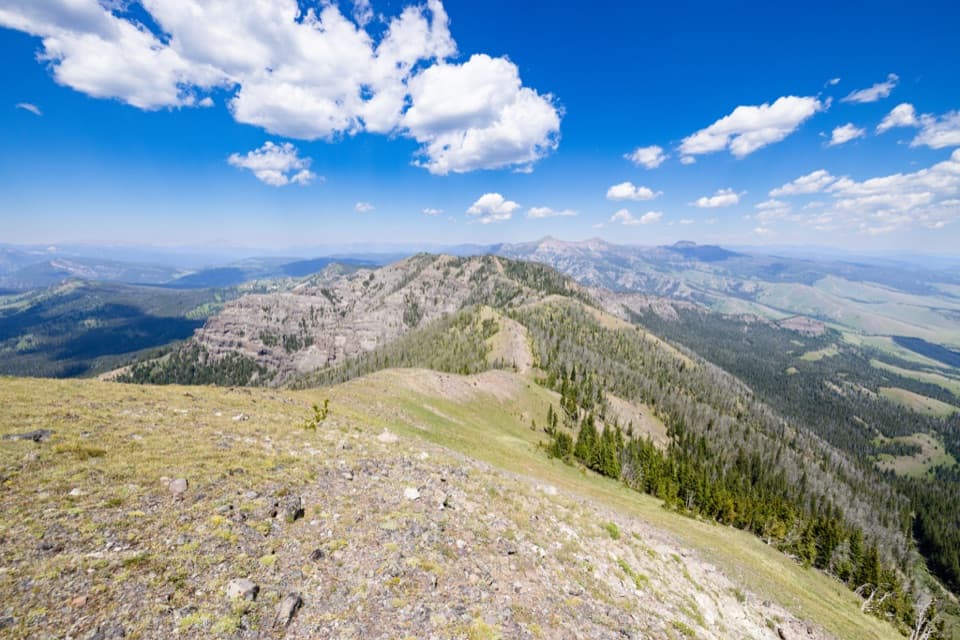 ChallengingSky Rim Loop Trail18.2 mi · 11 hr · 7.8 mi awayA rare high ridge, earned over a long exposed Yellowstone loop.
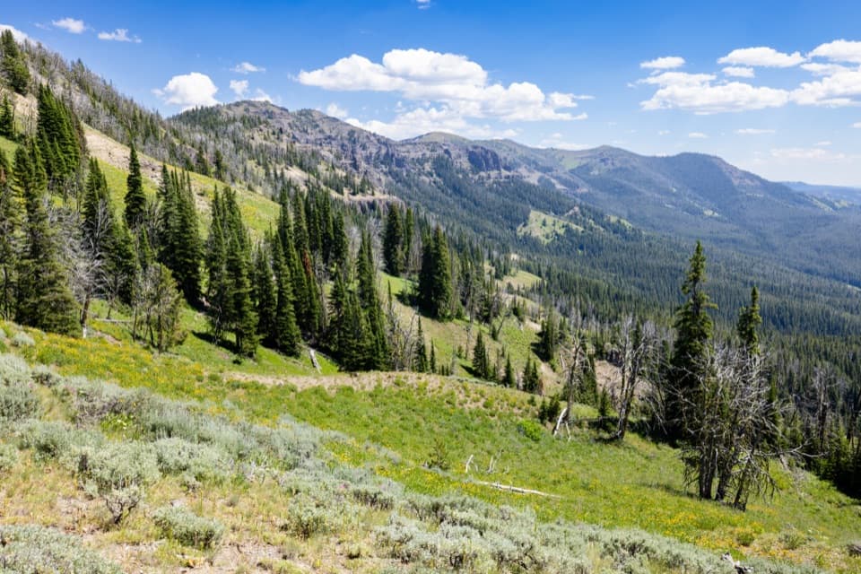 ChallengingDailey Creek Trail10 mi · 6 hr · 7.8 mi awayLong meadows lead to a high pass with a view both ways.
Parkwolf’s Yellowstone ranking
The audio tour guide for the drive, plus offline maps, trails, and wildlife heatmaps for when the signal drops.





