Parking
Use the Dailey Creek Trailhead (WK1) along US 191 in Yellowstone’s Gallatin section. This is the signed starting access for the 10-mile out-and-back.
Yellowstone National Park, WY · MT · ID
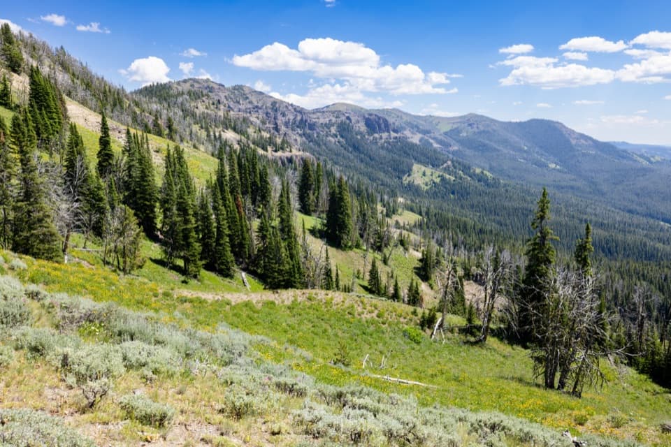
Long meadows lead to a high pass with a view both ways.
Overview
The trail enters forest and climbs more sharply toward the pass. The mapped profile puts Dailey Pass roughly 1,550 feet above the trailhead. At the top, look back down the drainage and across the opposite valley; the setting shifts from an enclosed green corridor to open mountain views. For a photo, leave some of the slope in the foreground so the valleys feel connected to the walk.
 Parkwolf’s verdictThe climb and the payoff
Map & elevation
Plan your hike

The highest, rockiest slopes around here are a summer buffet for grizzly bears.
Yellowstone Tour Guide
Parkwolf is a GPS audio tour guide for Yellowstone National Park. As you drive, it chimes in with what’s ahead: hidden gems, upcoming stops, history, geology, and wildlife, right through your car’s speakers.
See the Yellowstone audio tourRecorded for this trailhead
Dailey Creek and Sky Rim“You're nearing Dailey Creek Trailhead, where Sky Rim begins with an open meadow walk before climbing onto a high ridge. The full loop is eighteen point two miles and takes about eleven hours, with sustained climbing.”
Plays as you drive up to this trailhead in the Parkwolf Yellowstone Tour Guide.
More stories near here in the app
“First time driving through a national park. We used the Yellowstone tour on grand loop Road and it’s just like having a tour guide in your car with you.”


Trail guide
Dailey Creek Trail is a strenuous 10-mile out-and-back from the signed WK1 trailhead on US 191 to Dailey Pass. The first miles follow an open creek valley; the final climb rises through forest to a high pass where the view opens back over the route and across the next valley. Allow about six hours. It’s a good choice if you want a long Gallatin hike with a real climb and a quiet meadow approach; skip it if you’re after a quick overlook walk.
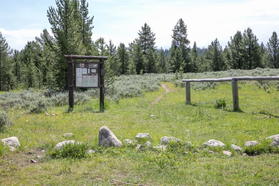
The trail starts beside Dailey Creek and crosses a small wooden bridge, then winds through broad sagebrush meadows dotted with mature trees. The creek comes and goes from view, so this isn’t a continuous creekside walk. Ahead, the ridgeline stays in sight as the valley gradually narrows.
Dailey Pass is the turnaround for this 10-mile round trip. The separate Sky Rim Trail joins here, but continuing onto the ridge makes a much longer, more exposed hike; that distance isn’t included here. Return the way you came unless you’ve planned for the longer Sky Rim route.
Wildlife
 713 sightingsGrizzly BearMost seen around 6 AMSighting map
 743 sightingsWolfMost seen around 6 AMSighting map
 5,273 sightingsBisonMost seen around 7 AMSighting map
 3,258 sightingsElkMost seen around 7 PMSighting map
 397 sightingsMooseMost seen around 7 PMSighting map
 1,494 sightingsBlack BearMost seen around 7 PMSighting map
Sighting maps show where each species has been reported across Yellowstone. Wildlife moves, so no sighting is guaranteed.
Keep exploring
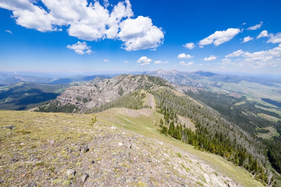 ChallengingSky Rim Loop Trail18.2 mi · 11 hr · At the trailheadA rare high ridge, earned over a long exposed Yellowstone loop.
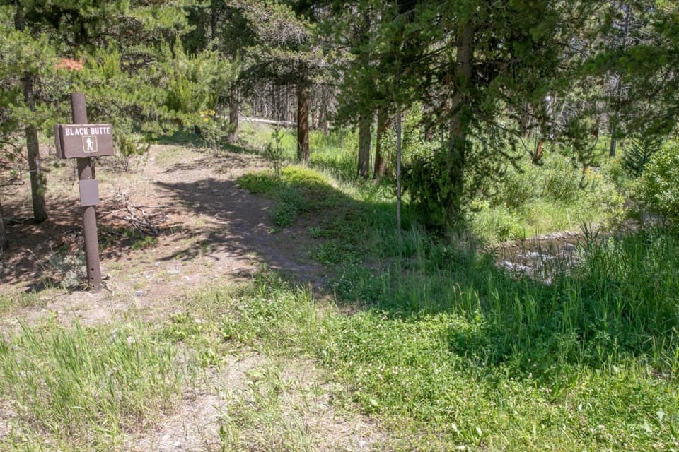 ChallengingBlack Butte Trail11.9 mi · 8 hr · 1.6 mi awayA creekside climb rises through meadows to the Sky Rim.
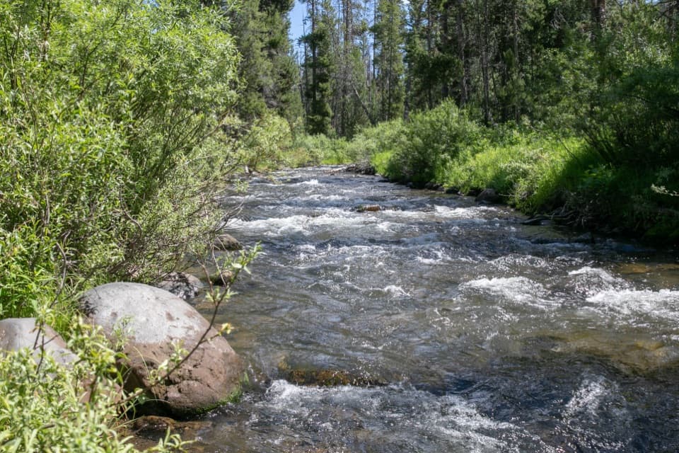 ChallengingSpecimen Creek Trail16.4 mi · 9 hr · 3.8 mi awayA full day along Specimen Creek, ending at Shelf Lake.
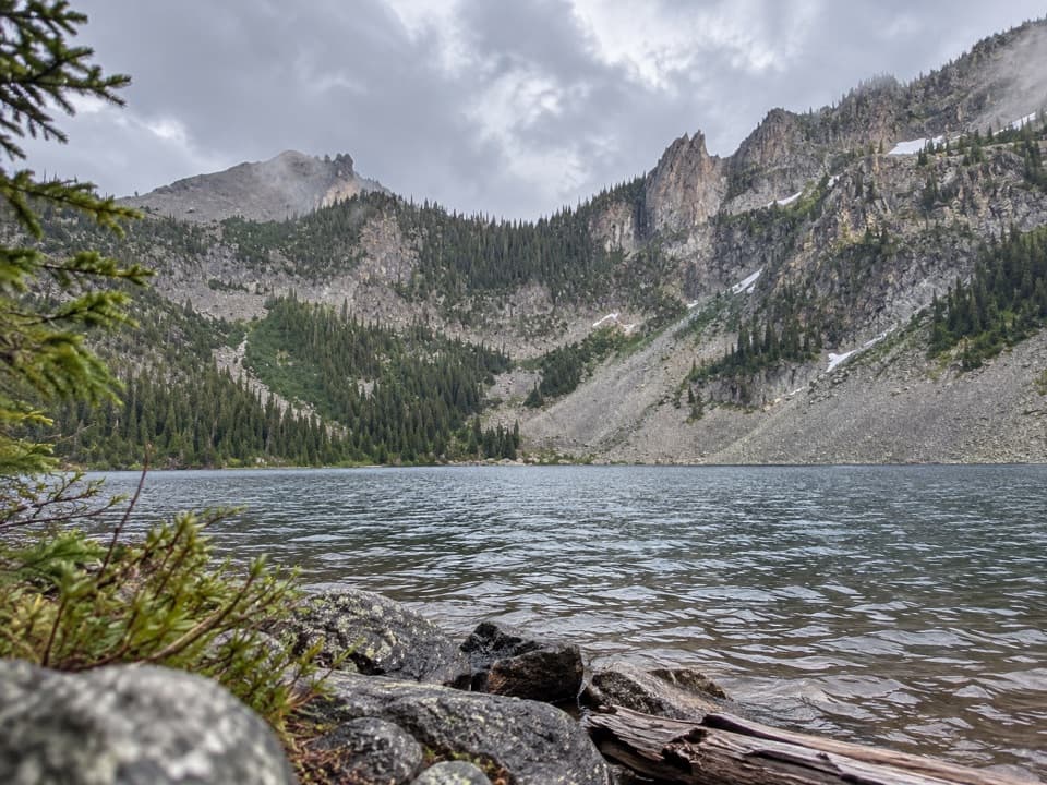 ChallengingCrescent Lake–High Lake Trail21.7 mi · 12 hr · 3.8 mi awayA 21.7-mile loop to two alpine lakes and a high ridge.
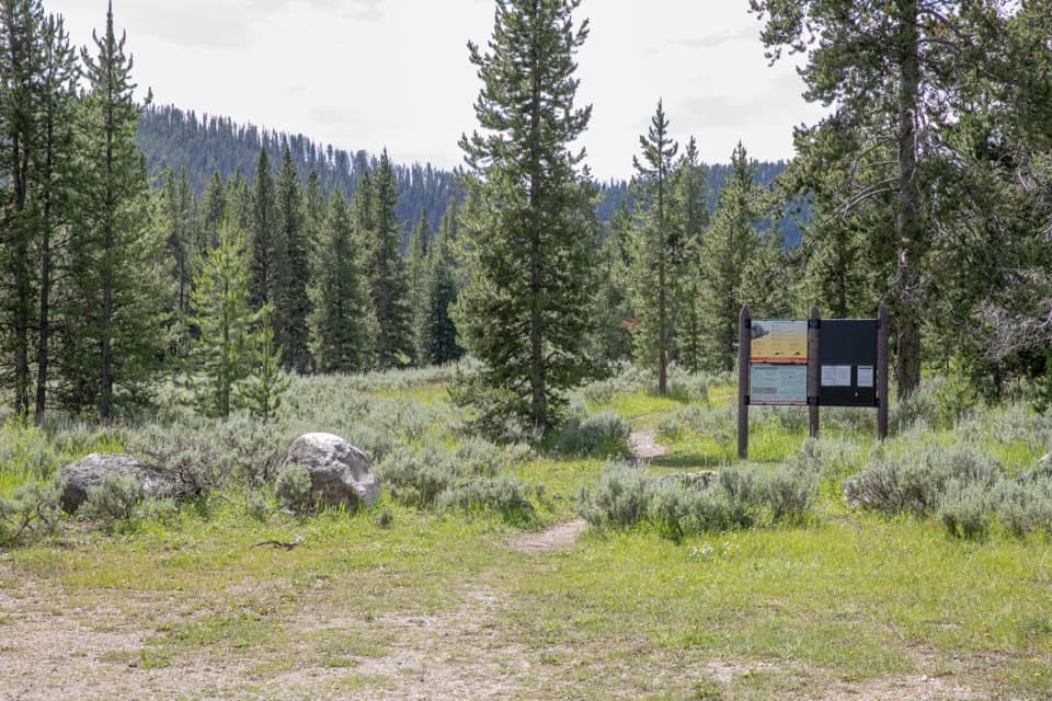 ChallengingBacon Rind Trail14.1 mi · 8.5 hr · 7.3 mi awayA creekside meadow leads to a long climb and alpine views.
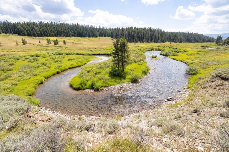 ModerateFan Creek Trail9.6 mi · 6 hr · 7.8 mi awayMeadows and creek bends make this long backcountry walk worthwhile.
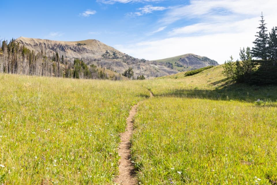 ChallengingFawn Pass Trail21 mi · 12 hr · 7.8 mi awayA 21-mile crossing over Fawn Pass into the Gallatin Range.
 ChallengingBighorn Pass Trail19.4 mi · 10 hr · 9.4 mi awayCross the Gallatins from willow creeks to an open pass.
Parkwolf’s Yellowstone ranking
The audio tour guide for the drive, plus offline maps, trails, and wildlife heatmaps for when the signal drops.





