Beaver Ponds Trail in Yellowstone National Park

Yellowstone National Park, WY · MT · ID

Beaver Ponds Trail

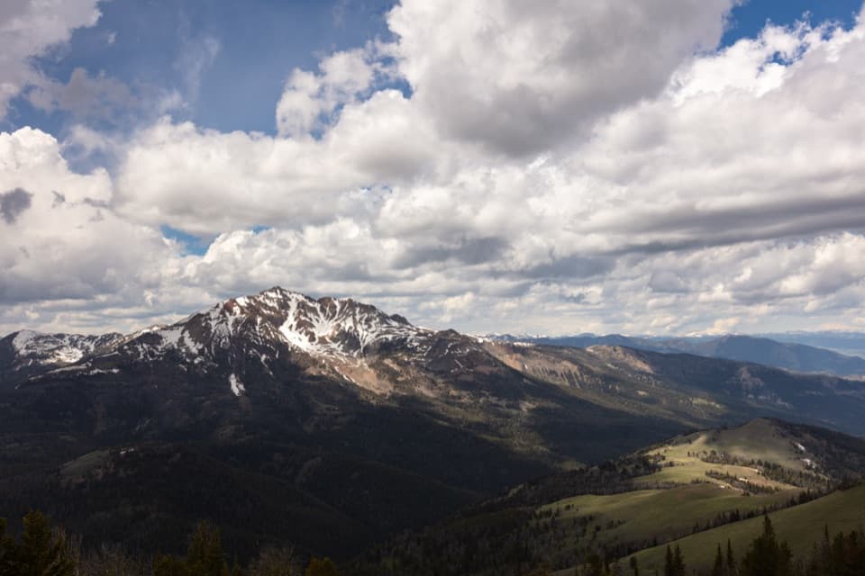
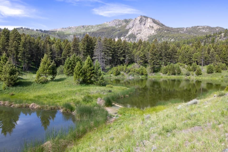
Ponds and open meadows in bear country above Mammoth.

Photo: Wikimedia Commons
Length
5.8mi
Time
3.5hr
Elev. change
525ft
Difficulty
Moderate
  • Loop
  • No dogs
  • High point 6,801 ft
  • #26 of 167 in Yellowstone

Hear the audio tour

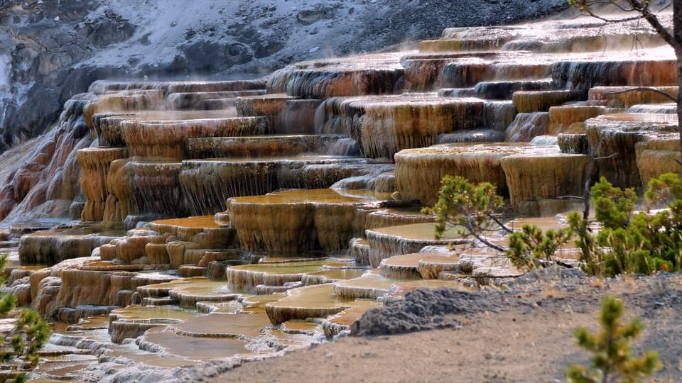
Mammoth Hot Springs Lower Terraces

Overview

About Beaver Ponds Trail

Why go

  • Ponds, forest, aspen and open sagebrush in one hike
  • Water birds and muskrats are likely; larger wildlife may appear

Heads up

  • A steep early climb and narrow, rocky tread
  • The complete mapped loop uses a developed-area street connection

Map & elevation

The route

Loading the Yellowstone map
Full map
Elevation6,276–6,801 ft
TrailheadSepulcher Mountain Trailhead (1K1), Mammoth Hot Springs44.97382, -110.70442
Keep this map with you offline in the Parkwolf app

Plan your hike

Before you go

Parking

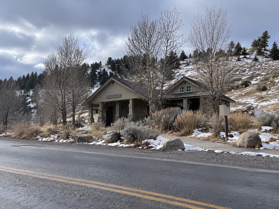
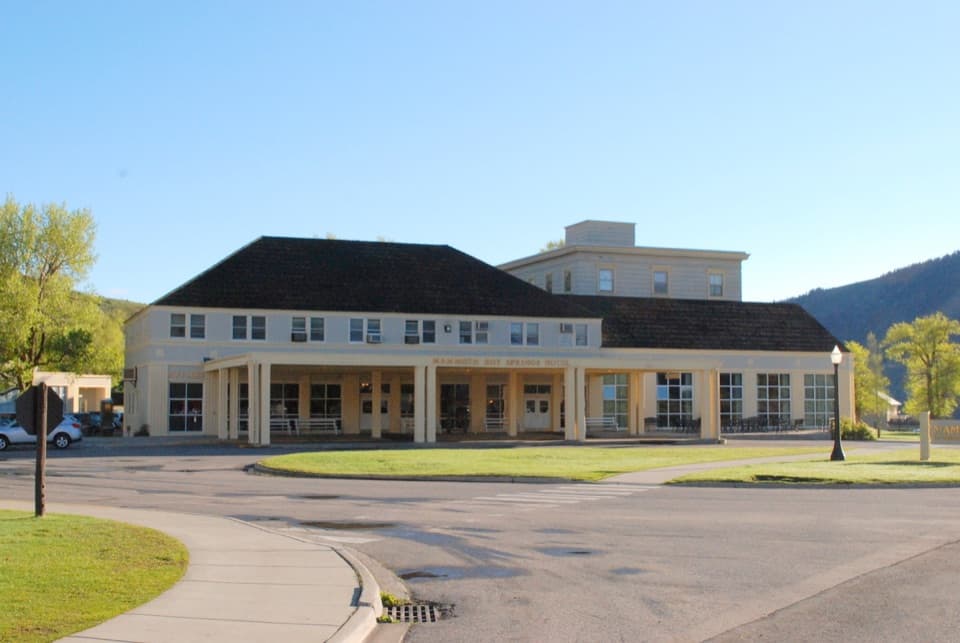
Use Sepulcher Mountain Trailhead (1K1) by Palette Spring; it has a lot that can fill in summer, when visitors may need to park elsewhere in Mammoth. The hotel-side Beaver Ponds Trailhead (1N4) has no parking; nearby visitor-center and hotel parking are available.

Safety

Black and grizzly bears frequent the area; carry bear spray where you can reach it. The narrow, rocky trail has steep spots and several wooden bridges, including one that is very narrow. Pets are not allowed.

5 active Yellowstone alerts

  • ClosureBiscuit Basin closed after hydrothermal explosionBiscuit Basin’s parking lot, boardwalk, and Firehole River are closed to all travel.Official details
  • ClosureMost Yellowstone roads close to regular vehicles November 1Most Yellowstone roads and the West, South, and East entrances are scheduled to close to regular vehicles November 1, 2026, as the park prepares for winter operations.Official details
See all 5 alerts
A park ranger sits on a dash-mounted phone, talking, as Parkwolf’s Tour Guide plays “Army Cutworm Moths: A Grizzly Bear Buffet” on Grand Loop Road below Dunraven Pass in Yellowstone
Parkwolf Tour GuideThe highest, rockiest slopes around here are a summer buffet for grizzly bears.

Yellowstone Tour Guide

Hear Yellowstone as you drive it.

Parkwolf is a GPS audio tour guide for Yellowstone National Park. As you drive, it chimes in with what’s ahead: hidden gems, upcoming stops, history, geology, and wildlife, right through your car’s speakers.

See the Yellowstone audio tour

Recorded for this trailhead

Mammoth Hot Springs Lower Terraces
0:00 / 0:38
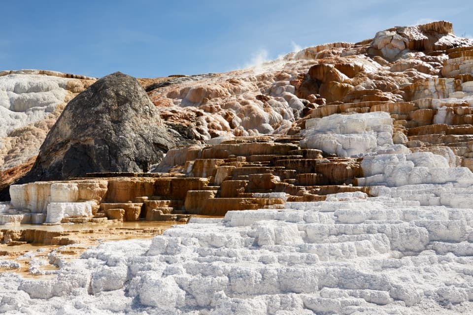
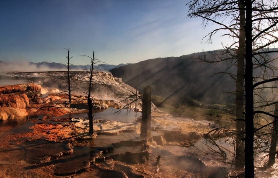
“Up ahead are Mammoth Hot Springs' Lower Terraces, where hot water builds pale shelves of rock across the hillside. For a short visit, start by Liberty Cap and walk about a hundred and thirty-five yards to Palette Spring.”

Plays as you drive up to this trailhead in the Parkwolf Yellowstone Tour Guide.

More stories near here in the app

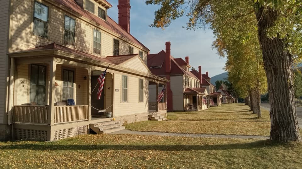
  • Fort Yellowstone and Mammoth Village
  • Mammoth Upper Terraces and Orange Spring Mound
  • The Shock Behind Electric Peak
  • Mount Everts Viewpoint
  • 243 audio storiesacross Yellowstone’s roads, triggered by GPS as you drive
  • Wildlife heatmapsfor Wolf, Grizzly Bear, Bison, and 13 more
  • Works offlinemaps, 167 trails, 192 places, and audio download before you lose signal
  • CarPlay readysimple controls built for the drive
★★★★★
“First time driving through a national park. We used the Yellowstone tour on grand loop Road and it’s just like having a tour guide in your car with you.”
Jyg5001App Store review
Download Parkwolf on the App StoreGet Parkwolf on Google Play

4.7 from 8,600+ ratings

Trail guide

Hiking Beaver Ponds Trail

Is this the right Mammoth hike?Beaver Ponds Trail is a moderate, roughly 5.

Beaver Ponds Trail is a moderate, roughly 5.8-mile loop through forest, sagebrush meadows and ponds in Mammoth Hot Springs. From the shared Sepulcher Mountain Trailhead (1K1), follow the lower Sepulcher connection toward Liberty Cap, then climb toward the ponds. Return to the hotel-side Beaver Ponds Trailhead (1N4) and walk through developed Mammoth back to 1K1. That last town link is part of the mapped loop. The park lists the hike as 5 miles; the full connected route measures about 5.8. Allow around three to four hours, though the park's range is two to five. Choose this for a longer wildlife walk with varied ground, not a quick stop.

The climbThe main climb comes early through the forested Clematis Gulch, with more rolling ground after.

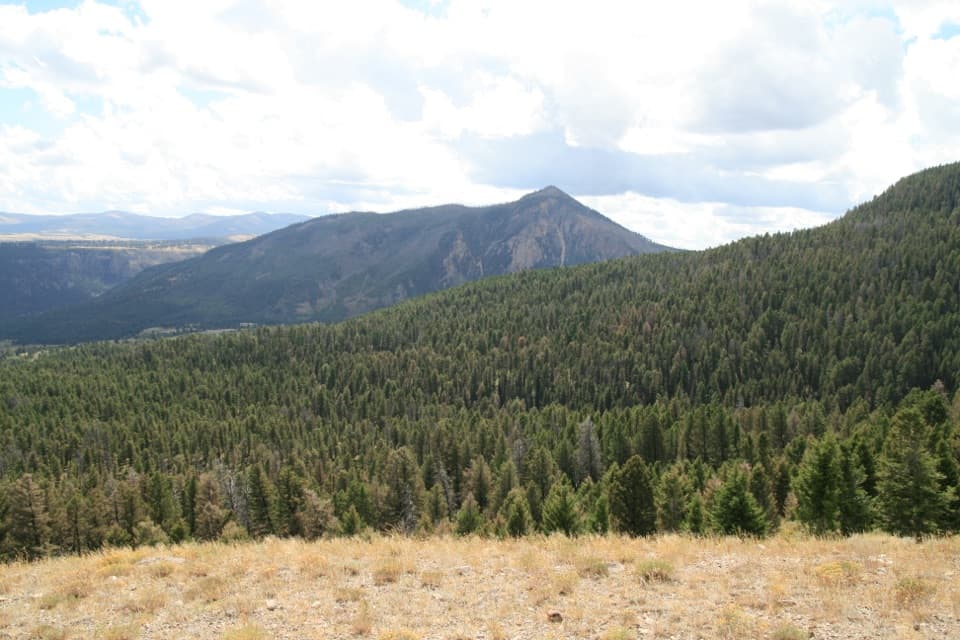
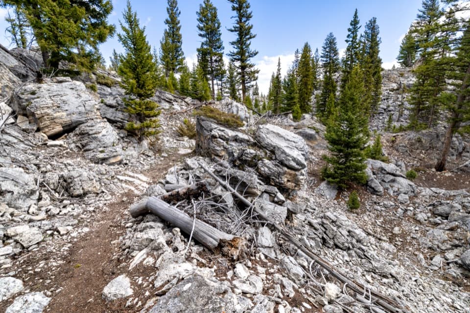
The main climb comes early through the forested Clematis Gulch, with more rolling ground after. If you take the pond section clockwise from Liberty Cap, stay right at the first two forks. The path is narrow, bare earth and rock; switchbacks ease most elevation changes, though a few pitches are steep. Several wooden bridges cross waterways, including one that's particularly narrow.

The ponds and the viewThe ponds arrive about halfway around.

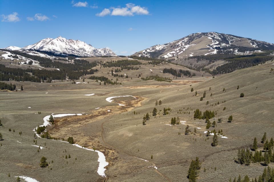
The ponds arrive about halfway around. Small pools sit among meadow and aspen; look for gnawed trunks, dams or lodges, but muskrats and water birds are likelier than beavers. At the larger pond, Sepulcher Mountain rises to the southwest. That's the photo stop: keep the water in the foreground and some of the ridge above it so the picture shows the setting, not just a pond.

Back across MammothAfter the ponds, the route rolls through a brief climb before dropping off a ridge into…

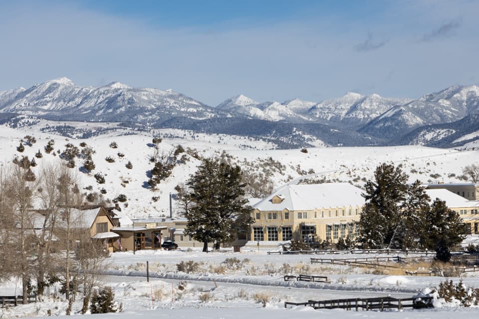
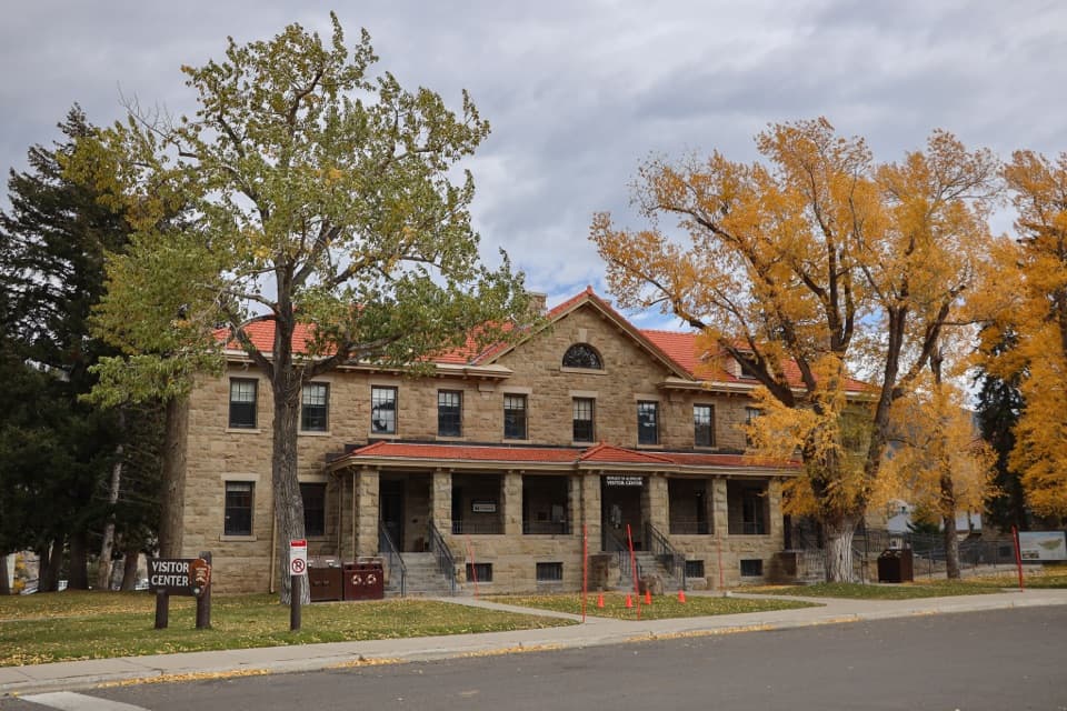
After the ponds, the route rolls through a brief climb before dropping off a ridge into sagebrush flats and open grassland. Look back toward Mammoth and scan the flats for pronghorn. The last link crosses streets and paths in the developed area, connecting the hotel-side trailhead (1N4) back to 1K1; 1N4 has no parking.

Bear country and logisticsBlack and grizzly bears frequent the area, so carry bear spray where you can reach it.

Black and grizzly bears frequent the area, so carry bear spray where you can reach it. The trail is moderately strenuous, and its repeated rises make the total climb vary by how it's measured. Pets aren't allowed. The park lists the hike as year-round, with no reservation or activity fee, though the park entrance fee may apply. The 1K1 lot can fill in summer; use other Mammoth parking if needed. There's an information kiosk at that lot. I couldn't verify a drinking-water source or toilet along the route.

Wildlife

Wildlife in Yellowstone

All Yellowstone wildlife maps

Sighting maps show where each species has been reported across Yellowstone. Wildlife moves, so no sighting is guaranteed.

Keep exploring

Near Beaver Ponds Trail

See it all on the map

Trails that start nearby

Places near the trailhead

Parkwolf’s Yellowstone ranking

Top-rated trails in Yellowstone

All 167 trails
  1. 1Old Faithful to Morning Glory Pool TrailEasy · 2.7 mi
  2. 2Grand Prismatic Overlook TrailEasy · 1.6 mi
  3. 3Dunraven Pass–Mount Washburn TrailChallenging · 7 mi
  4. 4Midway Geyser Basin TrailEasy · 0.7 mi
  5. 5Brink of the Lower Falls TrailChallenging · 0.7 mi
  6. 6Fairy Falls TrailEasy · 4.5 mi

Take Parkwolf to Yellowstone.

The audio tour guide for the drive, plus offline maps, trails, and wildlife heatmaps for when the signal drops.

4.7 from 8,600+ ratings

Download Parkwolf on the App StoreGet Parkwolf on Google Play