Parking
Use Glen Creek Trailhead (1K3), just south of Rustic Falls on the Mammoth–Norris Road. The trail starts on the west side of the road after a short crossing at Glen Creek; the Bunsen Peak parking area is a short walk away.
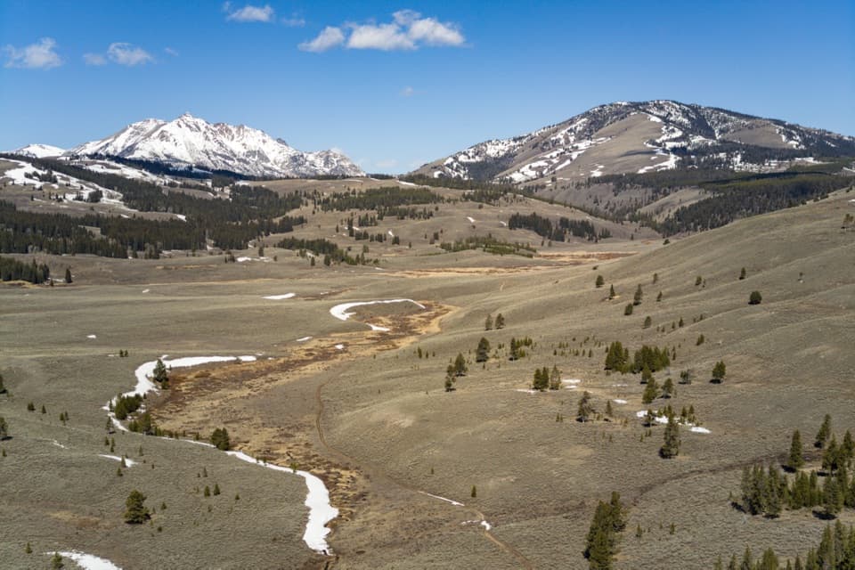
Yellowstone National Park, WY · MT · ID
A long walk through sagebrush flats beneath Electric Peak.
Overview
Map & elevation
Plan your hike

The highest, rockiest slopes around here are a summer buffet for grizzly bears.
Yellowstone Tour Guide
Parkwolf is a GPS audio tour guide for Yellowstone National Park. As you drive, it chimes in with what’s ahead: hidden gems, upcoming stops, history, geology, and wildlife, right through your car’s speakers.
See the Yellowstone audio tourRecorded for this trailhead
Bunsen Peak Trailhead“You're nearing the Bunsen Peak trailhead, a good choice if you want a summit hike with views over Swan Lake Flats and the Gallatin Mountains.”
Plays as you drive up to this trailhead in the Parkwolf Yellowstone Tour Guide.
More stories near here in the app
“First time driving through a national park. We used the Yellowstone tour on grand loop Road and it’s just like having a tour guide in your car with you.”


Trail guide
Glen Creek Trail follows the creek from Glen Creek Trailhead to the backcountry junction with Sportsman Lake and the Electric Peak–Southeast Ridge trails. The mapped corridor is about 5.9 miles one way; there’s no road at the far end, so a day hike means turning around for 11.9 miles round trip. Allow about 6–8 hours. It’s a long outing with roughly 900 feet of climbing on the way out, not a quick stroll to the creek.
The path starts just west of the Mammoth–Norris road, south of Rustic Falls, and crosses the open sagebrush of Swan Lake Flats with Electric Peak ahead. Several routes branch off: Howard Eaton, Fawn Pass, Snow Pass and Sepulcher Mountain; the Cache Lake spur appears around mile 5.2. Stay on the main creek route to its end. After Snow Pass, Glen Creek enters a ravine and the trail climbs about 700 feet over roughly four miles. The broad flats give the clearest view toward Electric Peak; include some of the creek or trail in a photo to show the scale.
The lower valley route once carried wagons between Mammoth and Norris over Snow Pass. That changed when the current road through Golden Gate was built in the 1880s.
Start at Glen Creek Trailhead (1K3) on the west side of the Mammoth–Norris road, just south of Rustic Falls. Grizzly bears frequent this area. Part of the route runs through a bear-management area where off-trail travel is prohibited from May 1 through November 10. Pets aren’t allowed on Yellowstone hiking trails; trained service animals are.
Wildlife
 713 sightingsGrizzly BearMost seen around 6 AMSighting map
 743 sightingsWolfMost seen around 6 AMSighting map
 5,273 sightingsBisonMost seen around 7 AMSighting map
 3,258 sightingsElkMost seen around 7 PMSighting map
 397 sightingsMooseMost seen around 7 PMSighting map
 1,494 sightingsBlack BearMost seen around 7 PMSighting map
Sighting maps show where each species has been reported across Yellowstone. Wildlife moves, so no sighting is guaranteed.
Keep exploring
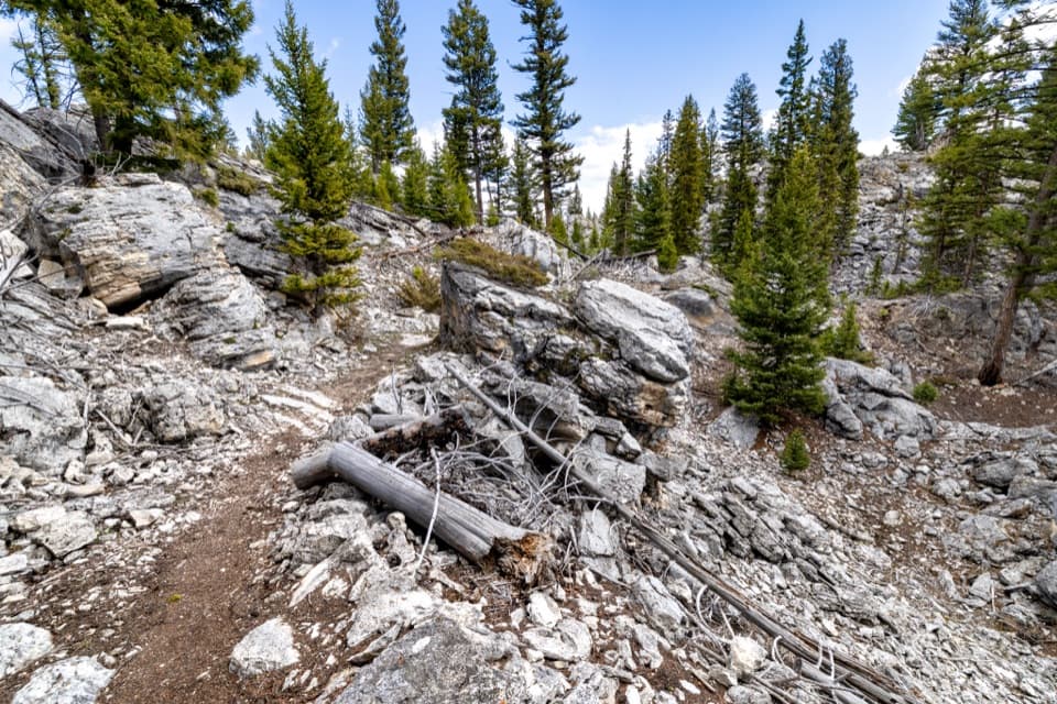 EasyHoward Eaton Trail: Glen Creek to Mammoth Hot Springs4 mi · 2.5 hr · At the trailheadDownhill through the Hoodoos into Mammoth’s old spring terraces.
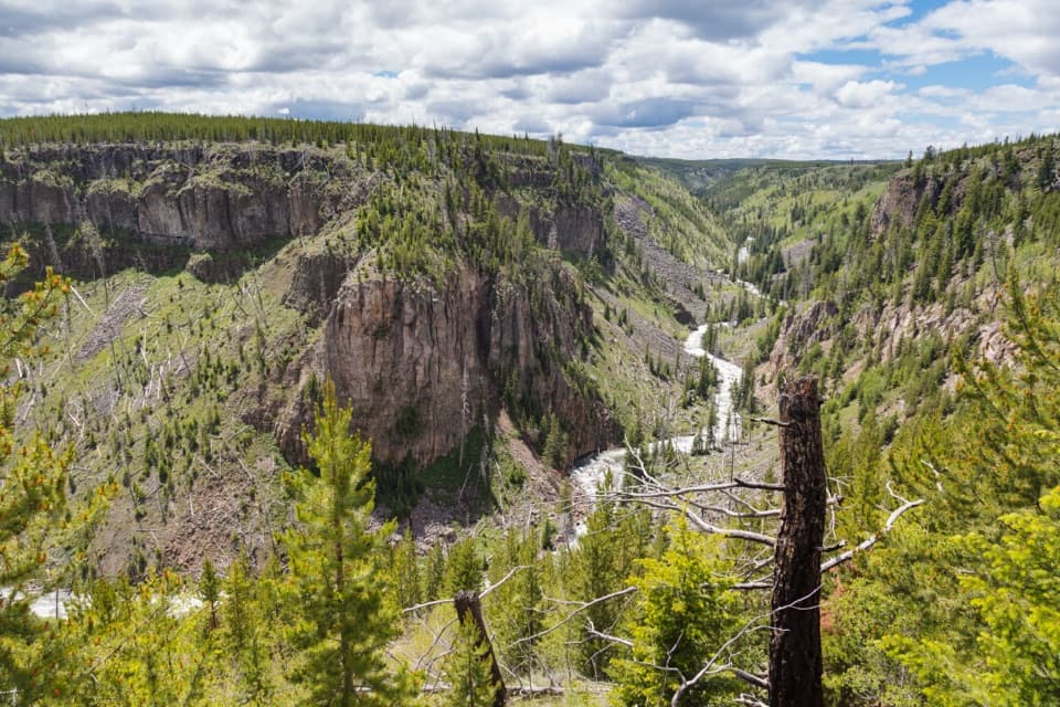 ModerateBunsen Peak Road Trail6 mi · 3 hr · 0.1 mi awayA level old road turns into a steep canyon descent.
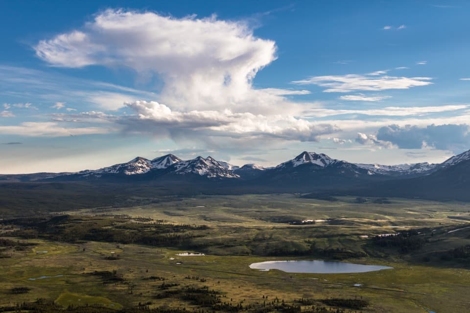 ModerateBunsen Peak Trail4.6 mi · 2.5 hr · 0.1 mi awaySwitchbacks climb to a broad view over Swan Lake Flats.
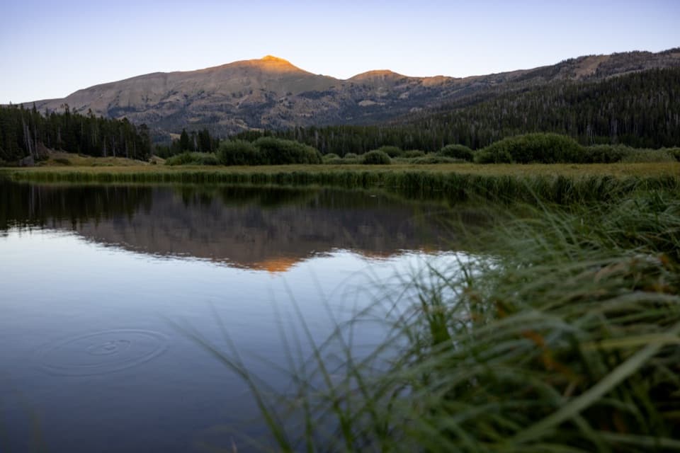 ChallengingSportsman Lake Trail24 mi · 14.5 hr · 0.1 mi awayA long Gallatin crossing past a remote lake and over a pass.
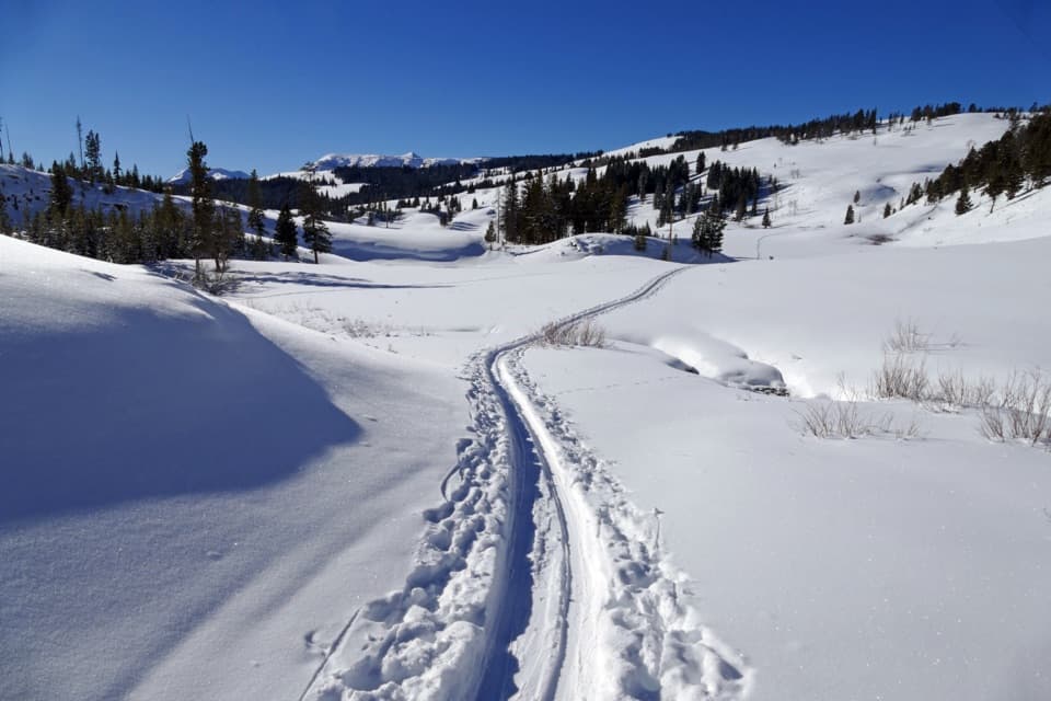 ModerateSnow Pass Trail3 mi · 2.5 hr · 2 mi awayA steep, forested climb to a 7,450-foot pass.
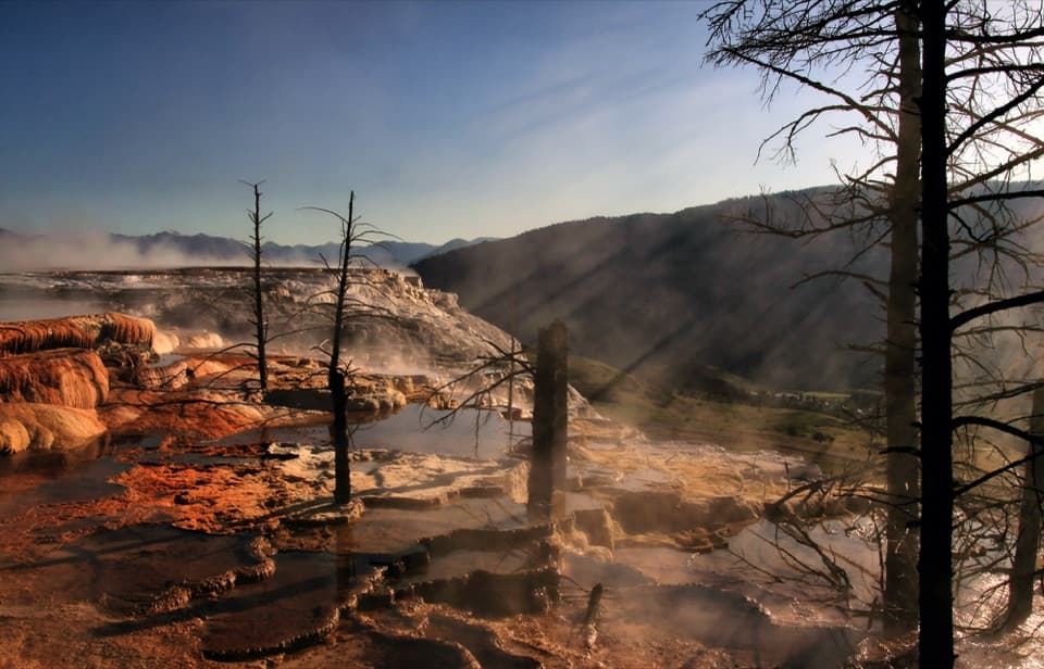 EasyMammoth Hot Springs Upper Terrace Boardwalk Trail0.6 mi · 30 min · 2.6 mi awaySee changing hot spring colors from the upper boardwalk.
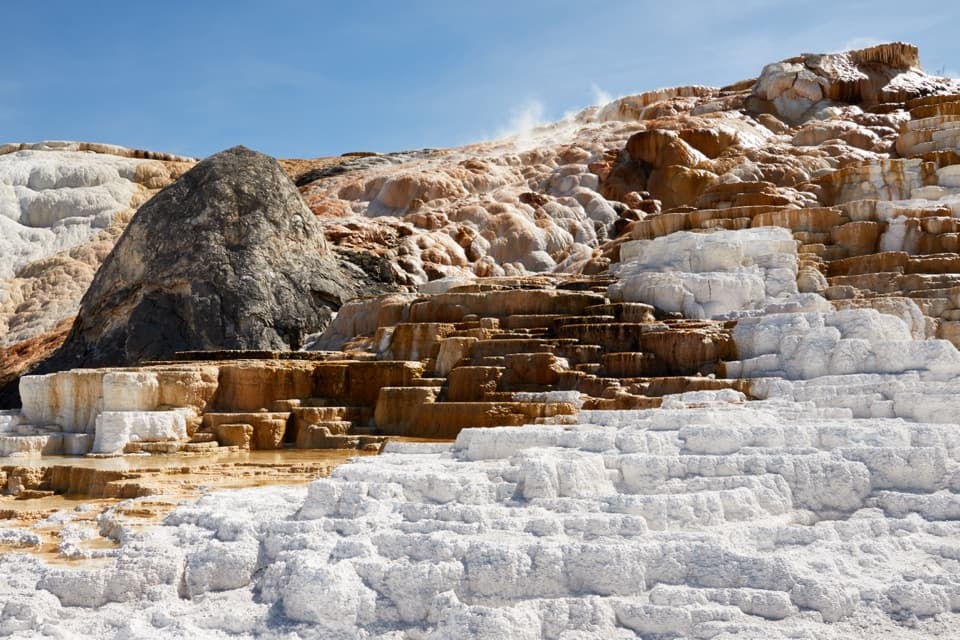 ModerateMammoth Hot Springs Lower Terraces Trail1.8 mi · 1.3 hr · 3 mi awayWalk boardwalks past colorful travertine shelves that keep rebuilding.
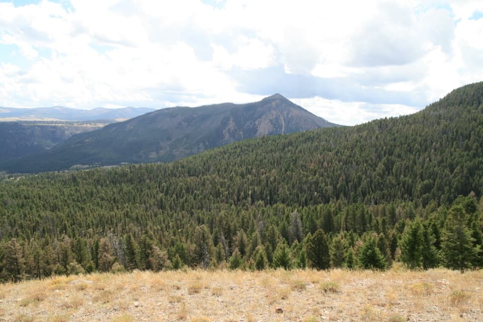 ModerateClagett Butte–Snow Pass Loop4.9 mi · 3.5 hr · 3 mi awayA steep Mammoth loop linking Clagett Butte and Snow Pass.
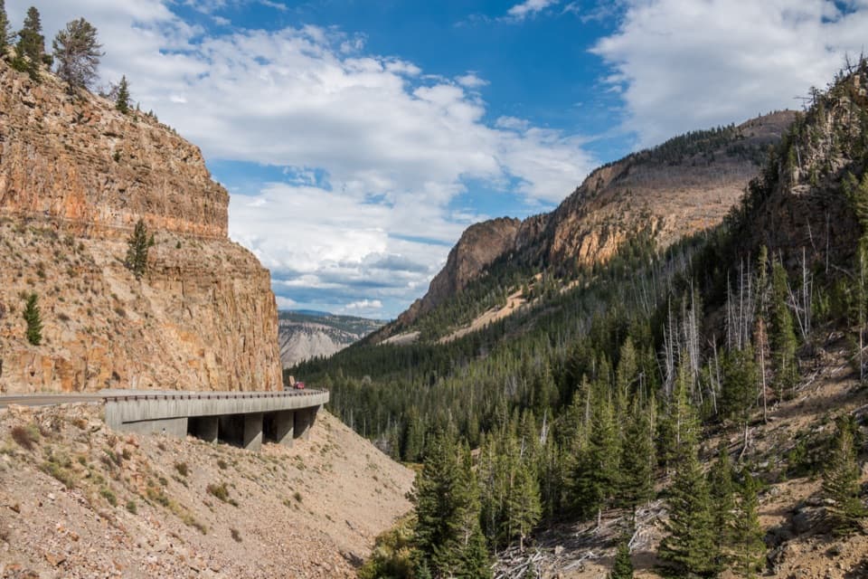 Sight · 0.2 mi awayGolden GateAn 11-arch viaduct bends around a golden canyon wall.
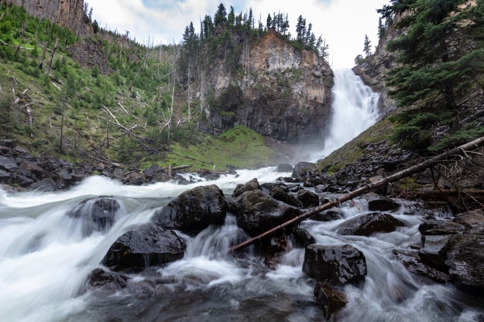 Sight · 2.3 mi awayOsprey FallsA hard hike to a 150-foot waterfall in Sheepeater Canyon.
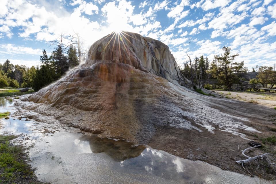 Sight · 2.4 mi awayOrange Spring MoundOrange travertine still growing beside Upper Terrace Drive.
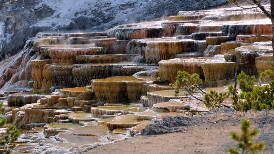 Sight · 2.8 mi awayMammoth Hot Springs Lower TerracesHeat-loving microbes tint travertine orange, green and brown.
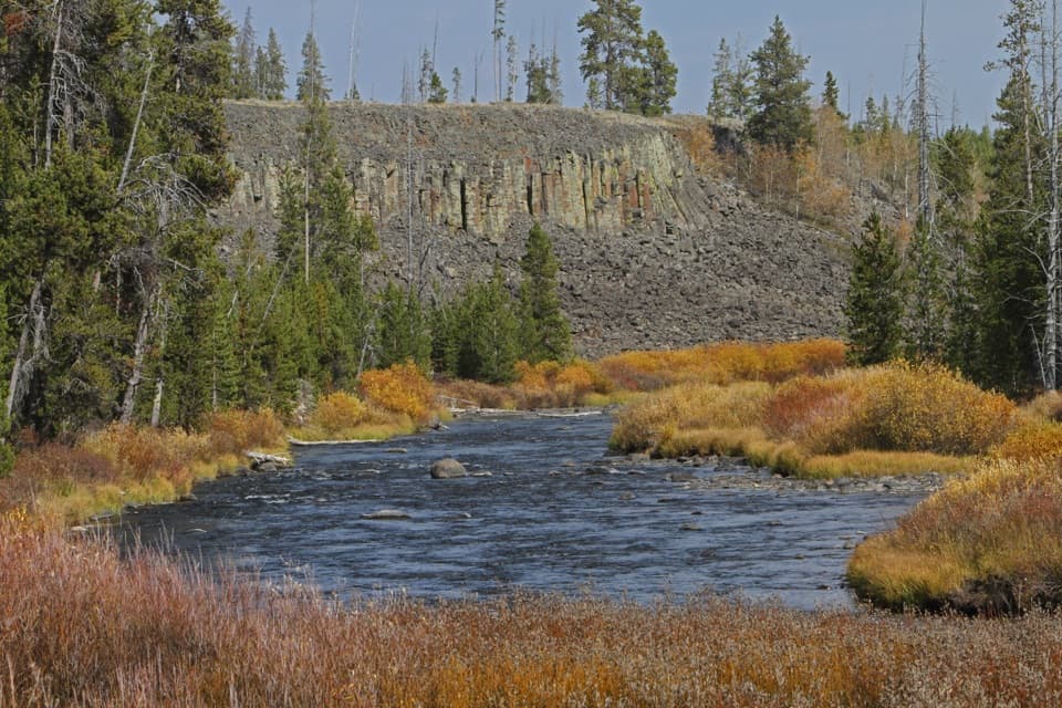 Sight · 2.9 mi awaySheepeater CliffWalk right up to a wall of six-sided basalt columns.
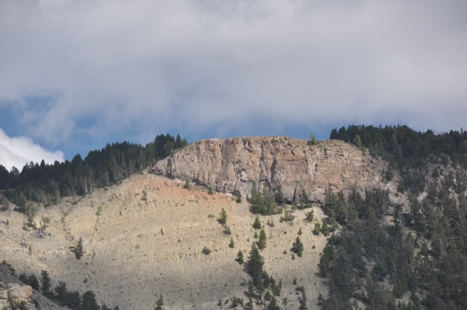 Sight · 2.9 mi awayMount Everts ViewpointA 37-day survival story above layers separated by 60 million years
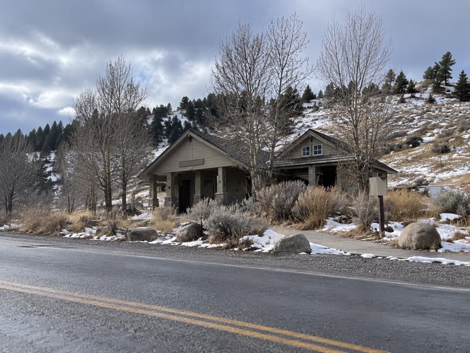 Restroom · 3.1 mi awayMammoth Hot Springs RestroomsClean, accessible toilets with a family restroom.
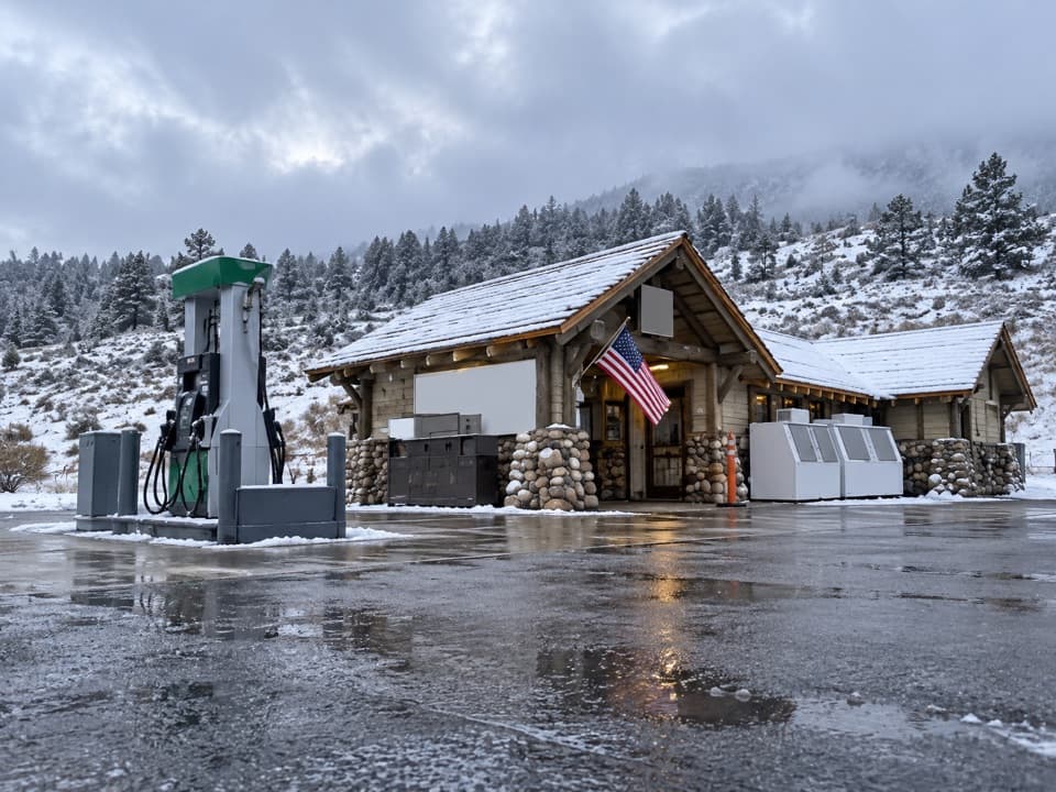 Gas station · 3.2 mi awayMammoth Hot Springs Gas StationA practical fuel stop in Yellowstone’s Mammoth area.
Parkwolf’s Yellowstone ranking

The audio tour guide for the drive, plus offline maps, trails, and wildlife heatmaps for when the signal drops.





