Parking
Use the roadside pullout beside Snow Pass Trailhead (1K2), on the west side of Mammoth-Norris Road about 0.4 mile south of Upper Terrace parking.
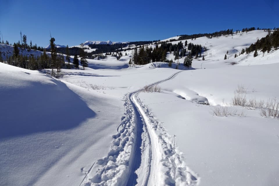
Yellowstone National Park, WY · MT · ID
A steep, forested climb to a 7,450-foot pass.
Overview
Map & elevation
Plan your hike

The highest, rockiest slopes around here are a summer buffet for grizzly bears.
Yellowstone Tour Guide
Parkwolf is a GPS audio tour guide for Yellowstone National Park. As you drive, it chimes in with what’s ahead: hidden gems, upcoming stops, history, geology, and wildlife, right through your car’s speakers.
See the Yellowstone audio tourRecorded for this area
Terraces Tumbled Down the Mountain“The pale jumble of rock south of Mammoth is called Silver Gate, or the Hoodoos. Those blocks began as hot-spring terraces high on Terrace Mountain. Later, huge pieces broke away and tumbled down the slope.”
Plays on the road 0.6 mi from the trailhead in the Parkwolf Yellowstone Tour Guide.
More stories near here in the app
“First time driving through a national park. We used the Yellowstone tour on grand loop Road and it’s just like having a tour guide in your car with you.”


Trail guide
Snow Pass Trail is a 3-mile out-and-back from Snow Pass Trailhead (1K2) to a 7,450-foot saddle, with about 700 feet of climbing. Most of the climb is forested, and the grades get very steep. It’s a good choice for a short, serious uphill near Mammoth, not a casual stroll. Allow about two to two and a half hours. One published total is 2.4 miles round trip, but detailed trail directions put the pass 1.5 miles from the start, so the full return walk is closer to 3 miles.
The pass sits between Terrace Mountain and Clagett Butte. Turn around at the saddle and retrace the same trail. The mapped ski route continues about half a mile down the other side to a junction, but that extension changes this into a longer outing; it isn’t part of the short Snow Pass walk described here.
Use the nearby roadside pullout on the west side of Mammoth-Norris Road, about 0.4 mile south of Upper Terrace parking. Grizzlies frequent this area. Stay together in a group of three or more and keep bear spray accessible. Pets aren’t allowed on the trail.
Wildlife
 713 sightingsGrizzly BearMost seen around 6 AMSighting map
 743 sightingsWolfMost seen around 6 AMSighting map
 5,273 sightingsBisonMost seen around 7 AMSighting map
 3,258 sightingsElkMost seen around 7 PMSighting map
 397 sightingsMooseMost seen around 7 PMSighting map
 1,494 sightingsBlack BearMost seen around 7 PMSighting map
Sighting maps show where each species has been reported across Yellowstone. Wildlife moves, so no sighting is guaranteed.
Keep exploring
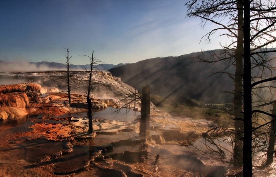 EasyMammoth Hot Springs Upper Terrace Boardwalk Trail0.6 mi · 30 min · 0.7 mi awaySee changing hot spring colors from the upper boardwalk.
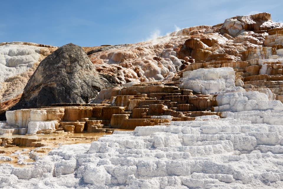 ModerateMammoth Hot Springs Lower Terraces Trail1.8 mi · 1.3 hr · 1 mi awayWalk boardwalks past colorful travertine shelves that keep rebuilding.
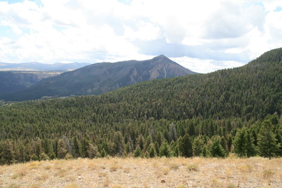 ModerateClagett Butte–Snow Pass Loop4.9 mi · 3.5 hr · 1.1 mi awayA steep Mammoth loop linking Clagett Butte and Snow Pass.
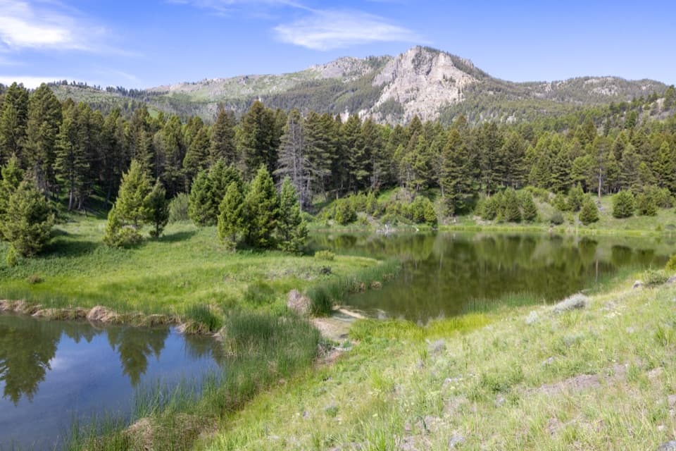 ModerateBeaver Ponds Trail5.8 mi · 3.5 hr · 1.1 mi awayPonds and open meadows in bear country above Mammoth.
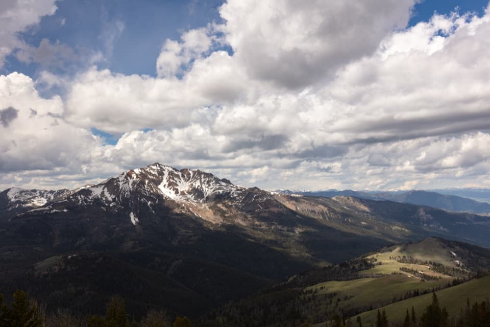 ChallengingSepulcher Mountain Trail11.5 mi · 7 hr · 1.1 mi awayA strenuous loop earns wide views over Gardiner Basin.
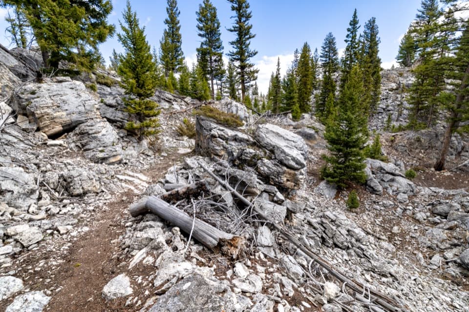 EasyHoward Eaton Trail: Glen Creek to Mammoth Hot Springs4 mi · 2.5 hr · 2 mi awayDownhill through the Hoodoos into Mammoth’s old spring terraces.
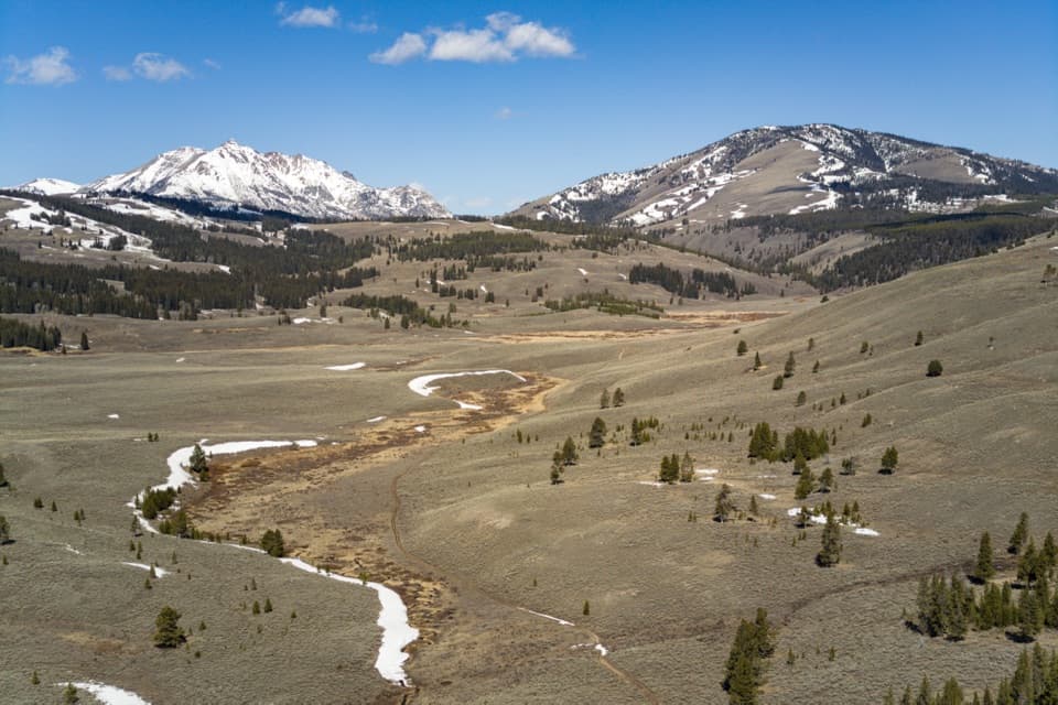 ModerateGlen Creek Trail11.9 mi · 6.5 hr · 2 mi awayA long walk through sagebrush flats beneath Electric Peak.
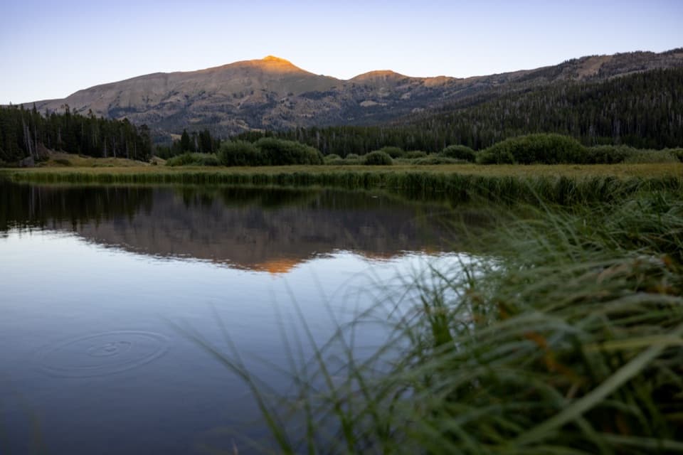 ChallengingSportsman Lake Trail24 mi · 14.5 hr · 2 mi awayA long Gallatin crossing past a remote lake and over a pass.
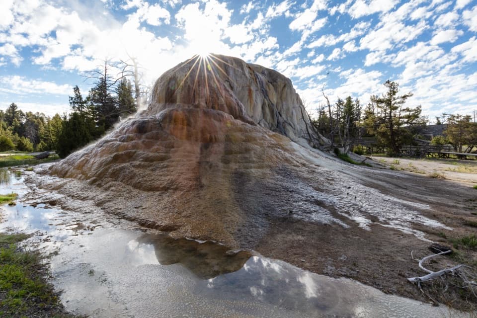 Sight · 0.5 mi awayOrange Spring MoundOrange travertine still growing beside Upper Terrace Drive.
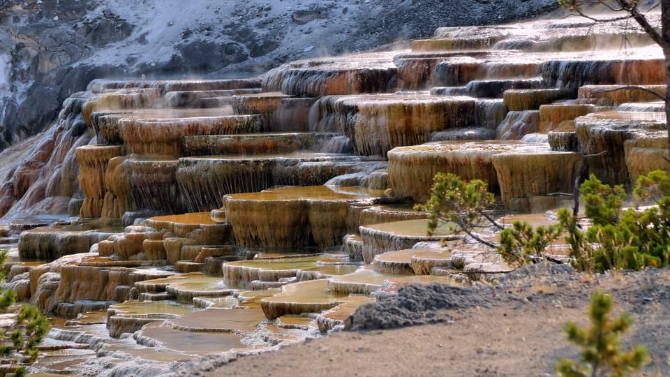 Sight · 0.9 mi awayMammoth Hot Springs Lower TerracesHeat-loving microbes tint travertine orange, green and brown.
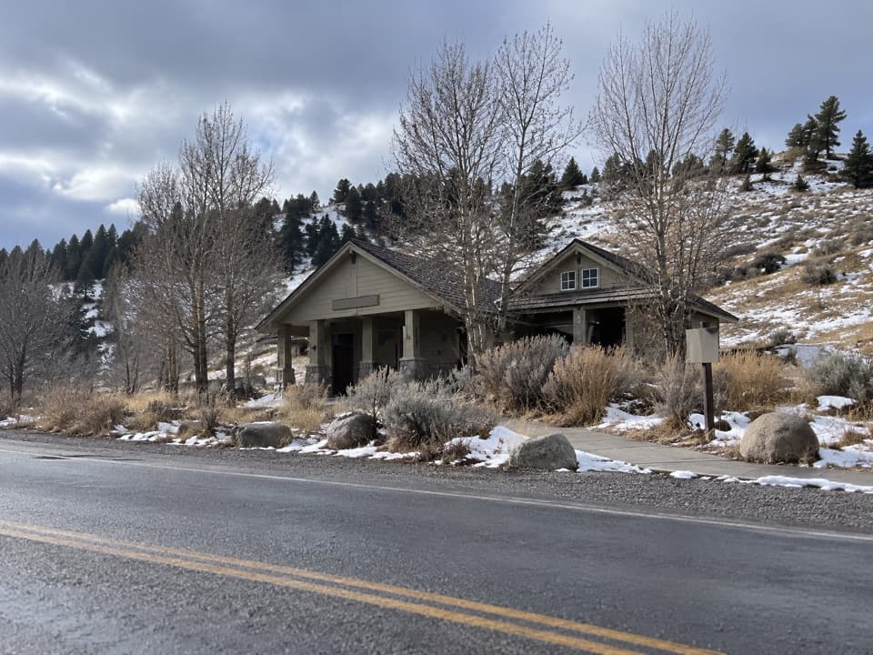 Restroom · 1.2 mi awayMammoth Hot Springs RestroomsClean, accessible toilets with a family restroom.
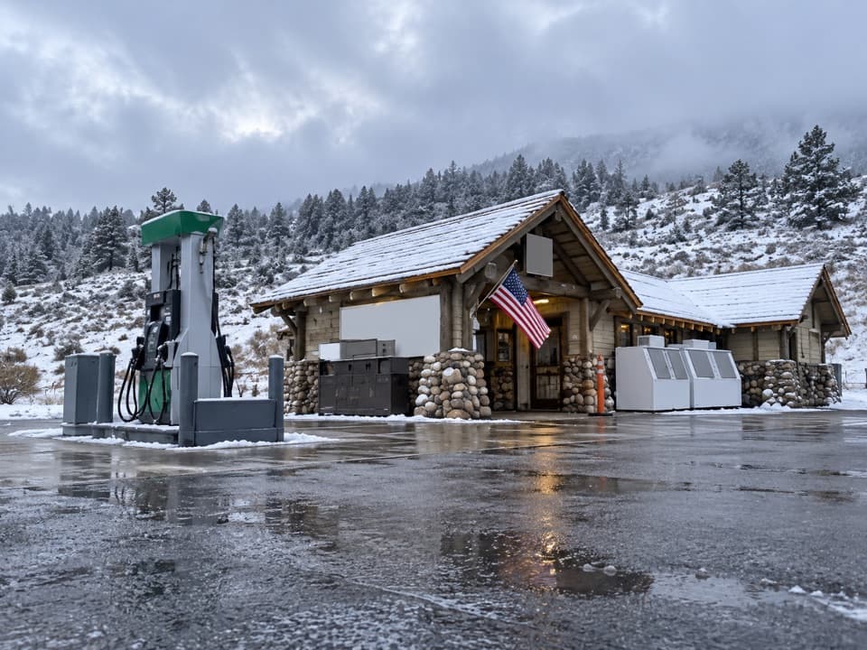 Gas station · 1.2 mi awayMammoth Hot Springs Gas StationA practical fuel stop in Yellowstone’s Mammoth area.
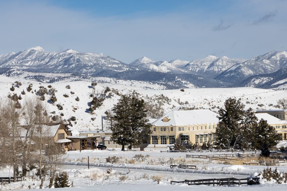 Store · 1.2 mi awayMammoth Hot Springs General StoreAn 1895 Mammoth shop for ice cream and park supplies.
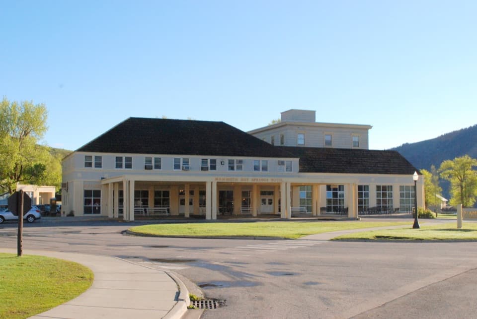 Lodging · 1.3 mi awayMammoth Hot Springs Hotel and CabinsHistoric Mammoth lodging, a remarkable wood map, and elk nearby.
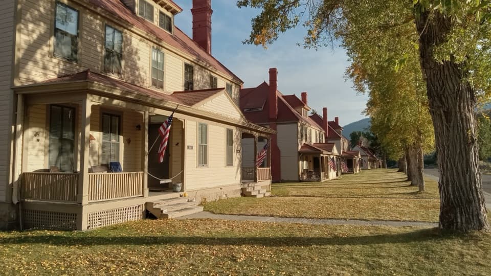 Sight · 1.4 mi awayFort YellowstoneAn easy walk through the Army post that became park headquarters.
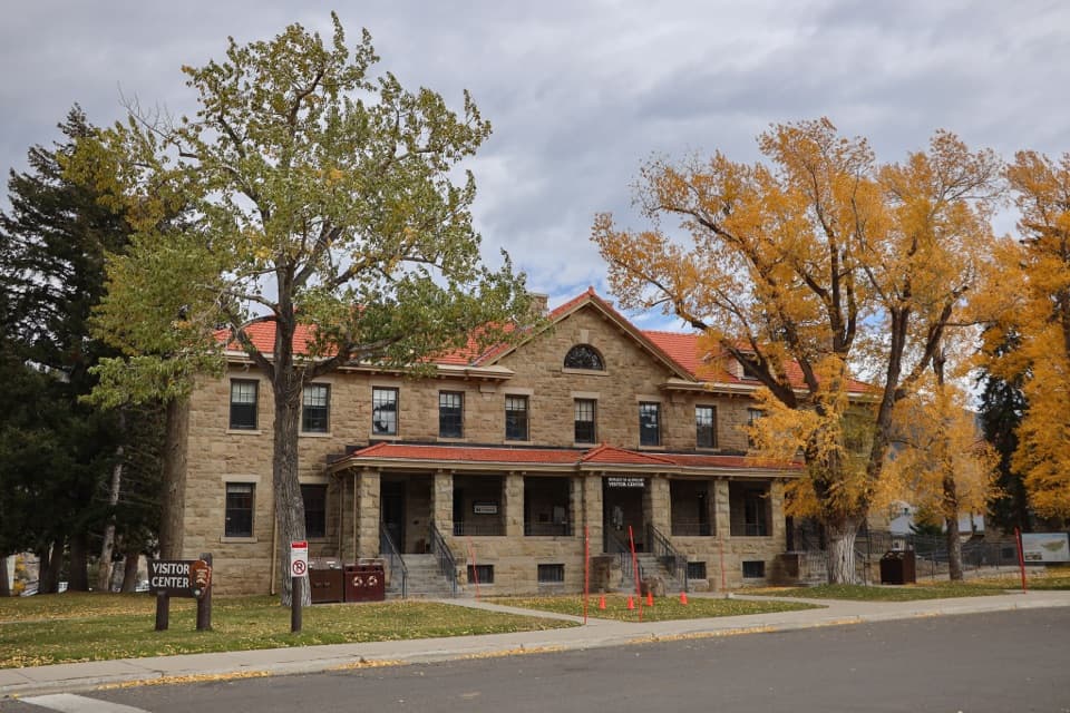 Visitor center · 1.4 mi awayAlbright Visitor CenterA practical Mammoth stop for trip planning and Fort Yellowstone history.
Parkwolf’s Yellowstone ranking

The audio tour guide for the drive, plus offline maps, trails, and wildlife heatmaps for when the signal drops.





