Parking
Start at Sepulcher Mountain Trailhead (1K1), at the base of Palette Spring. There is a parking lot at the trailhead; it is popular in summer, when visitors may need to park elsewhere in Mammoth.
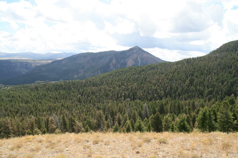
Yellowstone National Park, WY · MT · ID
A steep Mammoth loop linking Clagett Butte and Snow Pass.
Overview
Clagett Butte–Snow Pass Loop is a 4.85-mile circuit from Sepulcher Mountain Trailhead (1K1), following the Sepulcher Mountain Trail to the Clagett Butte connector, then returning by Snow Pass and Mammoth Golden Gate. It climbs about 1,200 feet; allow three to three and a half hours. This is a moderate, hilly backcountry walk near Mammoth, not the full Sepulcher Mountain summit hike.
Map & elevation
Plan your hike

The highest, rockiest slopes around here are a summer buffet for grizzly bears.
Yellowstone Tour Guide
Parkwolf is a GPS audio tour guide for Yellowstone National Park. As you drive, it chimes in with what’s ahead: hidden gems, upcoming stops, history, geology, and wildlife, right through your car’s speakers.
See the Yellowstone audio tourRecorded for this trailhead
Mammoth Hot Springs Lower Terraces“Up ahead are Mammoth Hot Springs' Lower Terraces, where hot water builds pale shelves of rock across the hillside. For a short visit, start by Liberty Cap and walk about a hundred and thirty-five yards to Palette Spring.”
Plays as you drive up to this trailhead in the Parkwolf Yellowstone Tour Guide.
More stories near here in the app
“First time driving through a national park. We used the Yellowstone tour on grand loop Road and it’s just like having a tour guide in your car with you.”


Trail guide
Pick it if you want a real climb without giving up most of the day. Snow Pass is steep in places, and Clagett Butte adds a sharper climb and descent. The route joins several named trails, so keep the loop’s turns straight at junctions and carry a map. The mapped circuit is just under five miles; other measurements run a little longer, so follow the Sepulcher–Clagett–Snow Pass–Mammoth Golden Gate sequence rather than every nearby trail.
From Sepulcher Mountain Trail, turn onto the Clagett Butte connector. It climbs steeply about 250 feet over the butte, then drops on the other side. Power lines run beside much of the connector, but there are north and east views from the high ground. Turn toward Bunsen Peak and keep some of the grassy ridge in the foreground for the best sense of the place.
The Snow Pass corridor is heavily forested and gains about 700 feet in its first 1.5 miles from the Snow Pass access. From the pass, the view opens toward Swan Lake Flats; the return follows Mammoth Golden Gate back toward the trailhead. The corridor is also used for cross-country skiing in winter. No on-route water or restrooms were listed, so bring what you need before leaving Mammoth.
Grizzly bears frequent this area. Yellowstone advises hikers to go in groups of three or more, stay together and remain on established trails. Pets are not allowed on park trails. Start at Sepulcher Mountain Trailhead (1K1), at the base of Palette Spring. The parking lot is popular in summer, so you may need another parking area in Mammoth.
William H. Clagett, Montana Territory’s delegate to Congress, introduced the bill to establish Yellowstone National Park on December 18, 1871. The House passed it the following February, and President Grant signed it on March 1, 1872; the butte honors Clagett.
Wildlife
 713 sightingsGrizzly BearMost seen around 6 AMSighting map
 743 sightingsWolfMost seen around 6 AMSighting map
 5,273 sightingsBisonMost seen around 7 AMSighting map
 3,258 sightingsElkMost seen around 7 PMSighting map
 397 sightingsMooseMost seen around 7 PMSighting map
 1,494 sightingsBlack BearMost seen around 7 PMSighting map
Sighting maps show where each species has been reported across Yellowstone. Wildlife moves, so no sighting is guaranteed.
Keep exploring
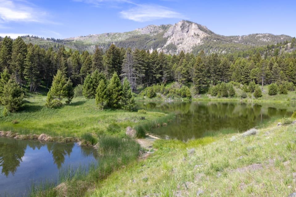 ModerateBeaver Ponds Trail5.8 mi · 3.5 hr · At the trailheadPonds and open meadows in bear country above Mammoth.
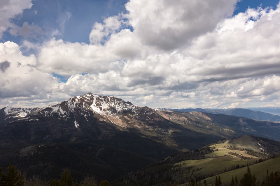 ChallengingSepulcher Mountain Trail11.5 mi · 7 hr · At the trailheadA strenuous loop earns wide views over Gardiner Basin.
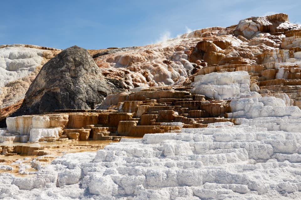 ModerateMammoth Hot Springs Lower Terraces Trail1.8 mi · 1.3 hr · 0.1 mi awayWalk boardwalks past colorful travertine shelves that keep rebuilding.
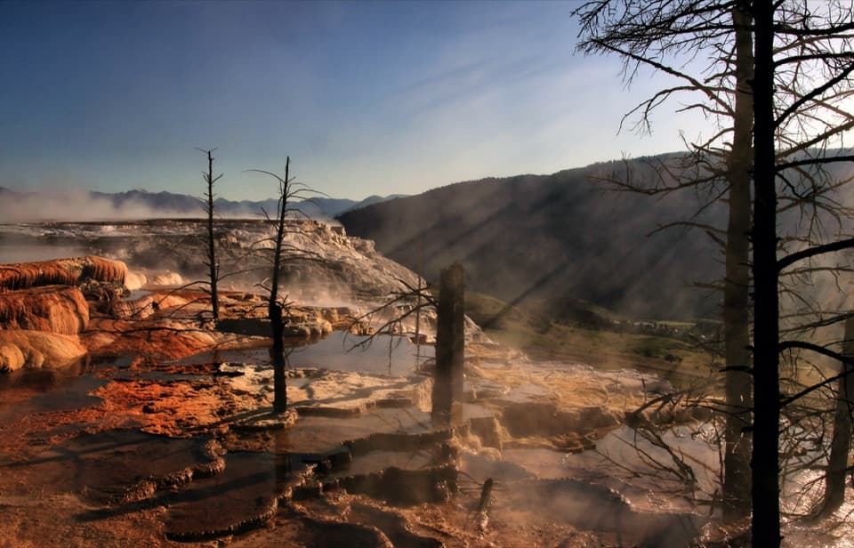 EasyMammoth Hot Springs Upper Terrace Boardwalk Trail0.6 mi · 30 min · 0.4 mi awaySee changing hot spring colors from the upper boardwalk.
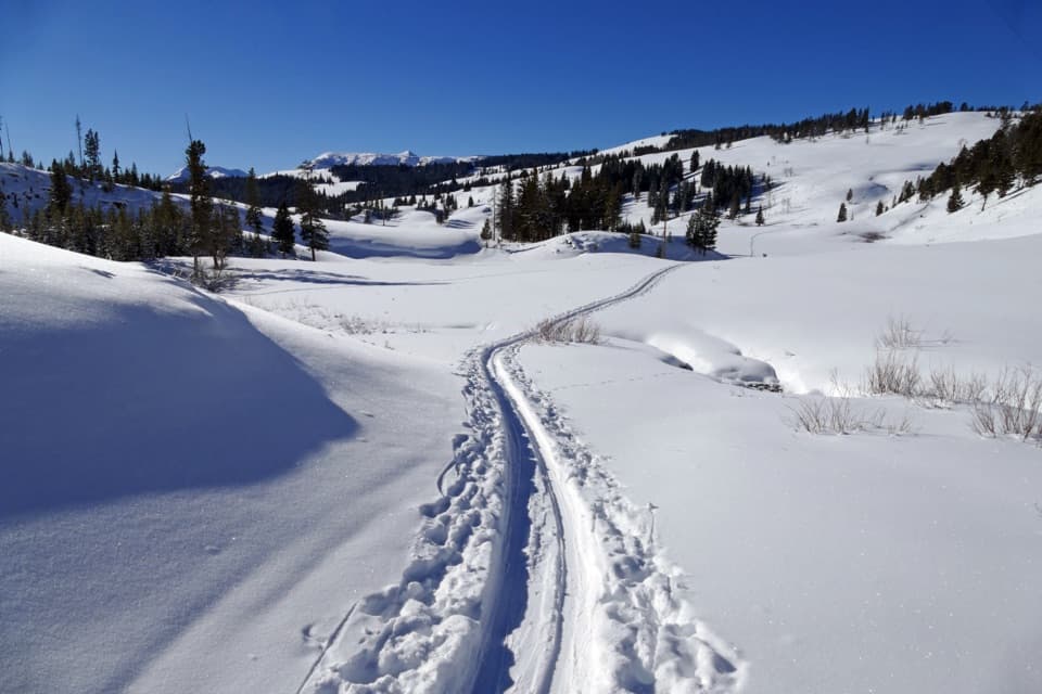 ModerateSnow Pass Trail3 mi · 2.5 hr · 1.1 mi awayA steep, forested climb to a 7,450-foot pass.
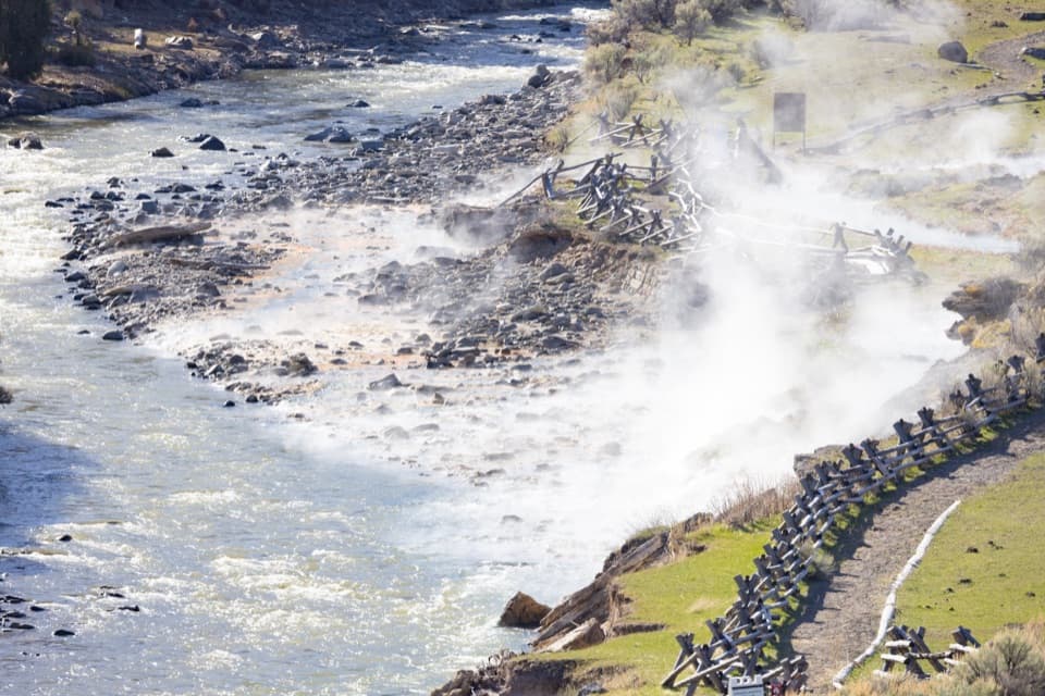 EasyBoiling River Trail1.3 mi · 45 min · 1.5 mi awayA level riverside path ends at the Gardner's geothermal inflow.
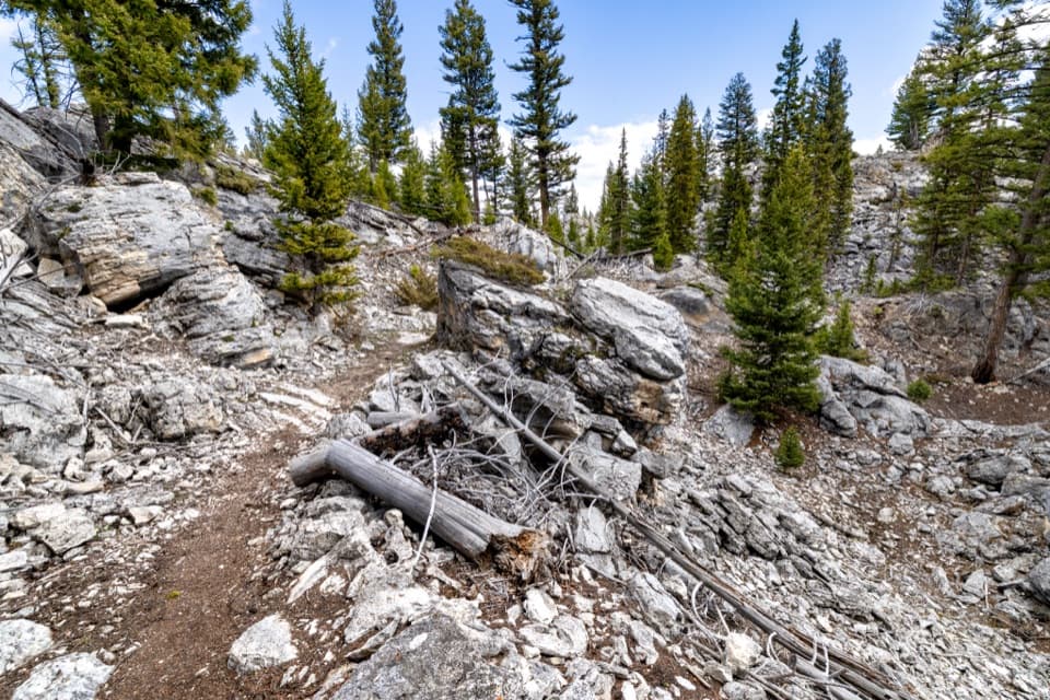 EasyHoward Eaton Trail: Glen Creek to Mammoth Hot Springs4 mi · 2.5 hr · 3 mi awayDownhill through the Hoodoos into Mammoth’s old spring terraces.
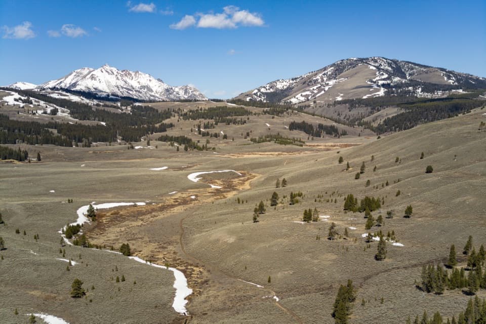 ModerateGlen Creek Trail11.9 mi · 6.5 hr · 3 mi awayA long walk through sagebrush flats beneath Electric Peak.
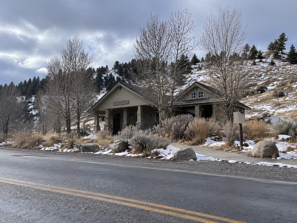 Restroom · 0.1 mi awayMammoth Hot Springs RestroomsClean, accessible toilets with a family restroom.
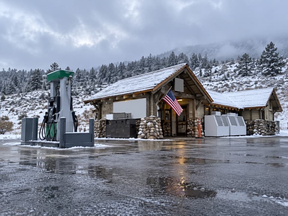 Gas station · 0.1 mi awayMammoth Hot Springs Gas StationA practical fuel stop in Yellowstone’s Mammoth area.
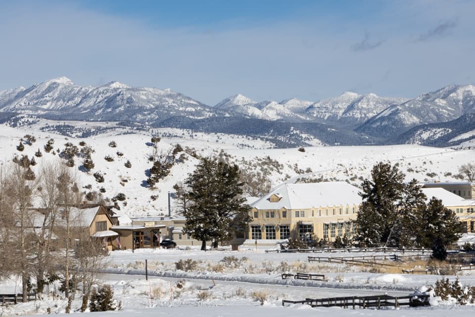 Store · 0.2 mi awayMammoth Hot Springs General StoreAn 1895 Mammoth shop for ice cream and park supplies.
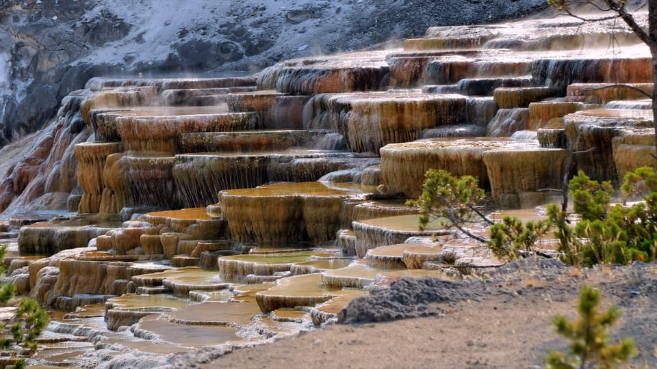 Sight · 0.2 mi awayMammoth Hot Springs Lower TerracesHeat-loving microbes tint travertine orange, green and brown.
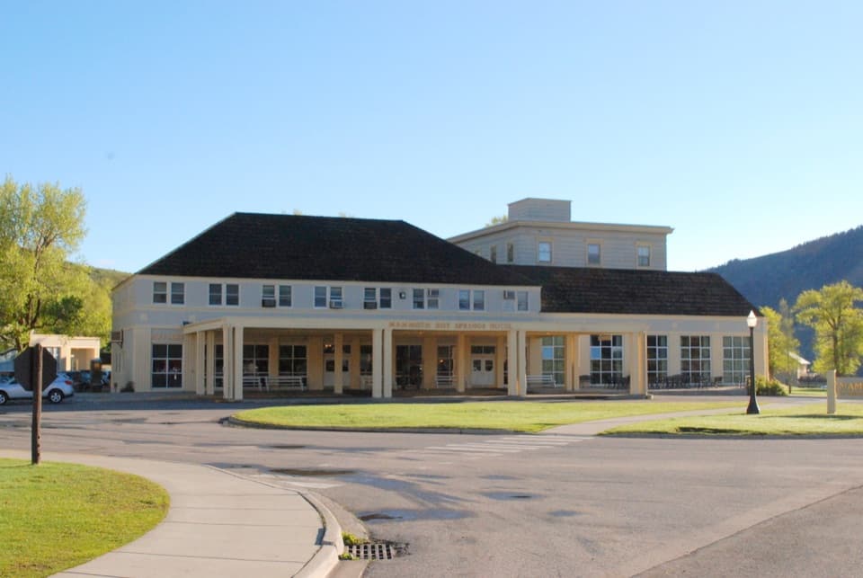 Lodging · 0.3 mi awayMammoth Hot Springs Hotel and CabinsHistoric Mammoth lodging, a remarkable wood map, and elk nearby.
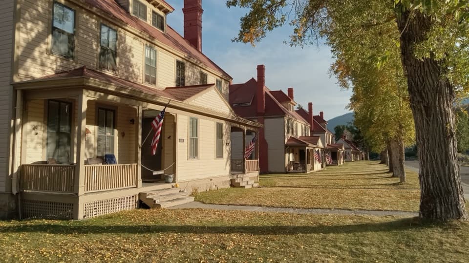 Sight · 0.3 mi awayFort YellowstoneAn easy walk through the Army post that became park headquarters.
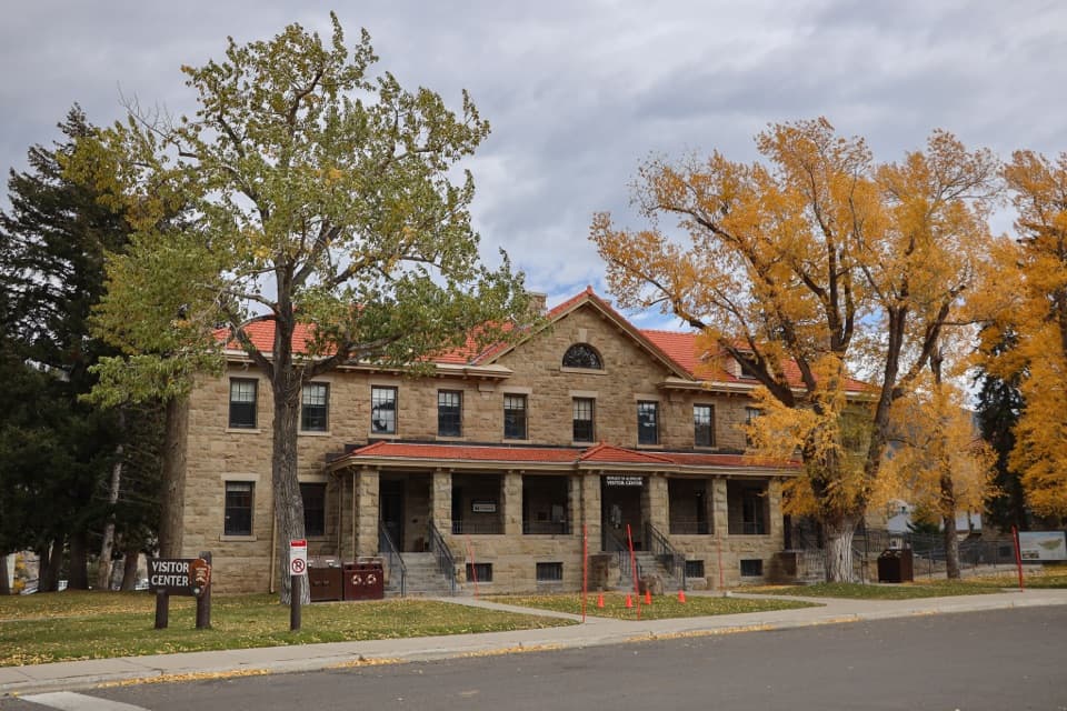 Visitor center · 0.3 mi awayAlbright Visitor CenterA practical Mammoth stop for trip planning and Fort Yellowstone history.
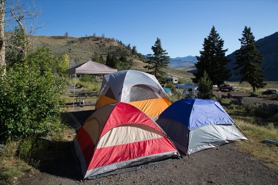 Campground · 0.5 mi awayMammoth CampgroundA base where elk sometimes wander among the campsites.
Parkwolf’s Yellowstone ranking

The audio tour guide for the drive, plus offline maps, trails, and wildlife heatmaps for when the signal drops.





