Parking
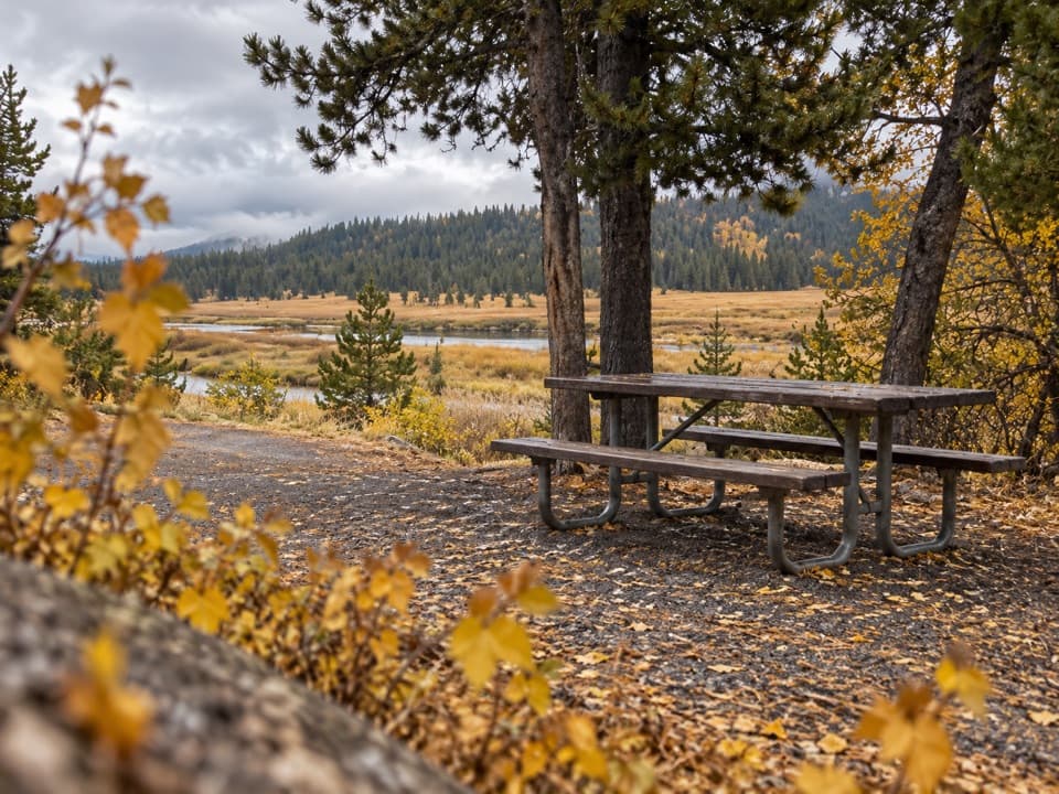
South Entrance Trailhead (8K7), east side of Snake River Picnic Area.
Yellowstone National Park, WY · MT · ID
Follow the Snake River to a remote, 1915 patrol cabin.
Overview
Map & elevation
Plan your hike

The highest, rockiest slopes around here are a summer buffet for grizzly bears.
Yellowstone Tour Guide
Parkwolf is a GPS audio tour guide for Yellowstone National Park. As you drive, it chimes in with what’s ahead: hidden gems, upcoming stops, history, geology, and wildlife, right through your car’s speakers.
See the Yellowstone audio tourRecorded for this trailhead
Snake River Picnic Area“Snake River Picnic Area is coming up near the South Entrance, a simple stop for a packed lunch beside the river and open meadow. There are eight tables, but no drinking water, so bring your own.”
Plays as you drive up to this trailhead in the Parkwolf Yellowstone Tour Guide.
More stories near here in the app
“First time driving through a national park. We used the Yellowstone tour on grand loop Road and it’s just like having a tour guide in your car with you.”


Trail guide
South Boundary Trail: South Entrance–Harebell is an 11.6-mile point-to-point walk from South Entrance Trailhead (8K7) to Harebell Creek Patrol Cabin. Yellowstone rates it moderate. The route follows the Snake River for most of the way and passes a couple of thermal areas. Allow about six hours on the trail, including brief stops; the sampled elevation profile rises about 700 feet from start to finish.
This is a remote backcountry route, not a loop. Plan how you’ll leave the Harebell end before starting; walking back the same way makes it 23.2 miles. Overnight camping requires a backcountry permit. The trailhead is beside Snake River Picnic Area, with a nearby vault toilet and information kiosk. Pets aren’t allowed.
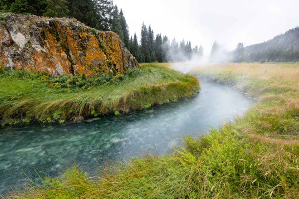
The route moves between open riverbank and meadow stretches. At Snake Hot Springs, the blue-green thermal channel, steam, and orange-stained rocks make the most distinctive view; photograph it from the established tread. Stay on the trail through thermal areas—off-trail travel is prohibited there.
The Snake River ford at the western end is a serious hazard: NPS warns it can be dangerous and waist-deep even at low water. Yellowstone recommends hiking in groups of three or more and carrying bear spray where it’s immediately accessible.
Harebell Patrol Cabin sits just inside the park’s south boundary in remote backcountry accessible by foot or horseback. Built in 1915, it was part of the Army’s patrol network. The cabin is the route’s eastern endpoint, not a drive-up trailhead.
Wildlife
 713 sightingsGrizzly BearMost seen around 6 AMSighting map
 743 sightingsWolfMost seen around 6 AMSighting map
 5,273 sightingsBisonMost seen around 7 AMSighting map
 3,258 sightingsElkMost seen around 7 PMSighting map
 397 sightingsMooseMost seen around 7 PMSighting map
 1,494 sightingsBlack BearMost seen around 7 PMSighting map
Sighting maps show where each species has been reported across Yellowstone. Wildlife moves, so no sighting is guaranteed.
Keep exploring
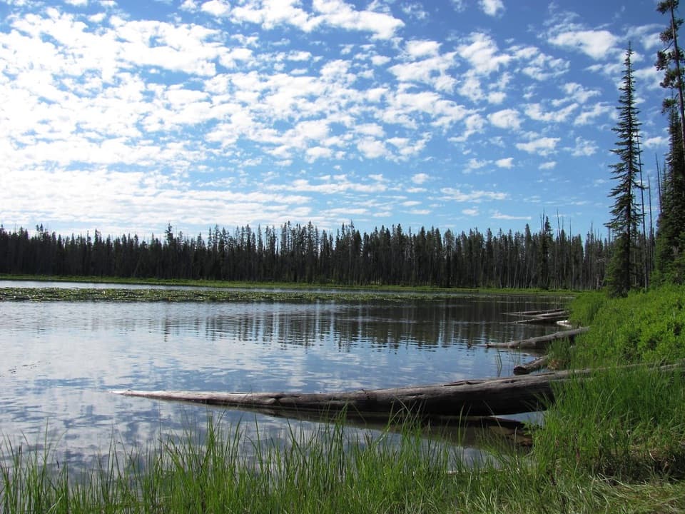 ModerateBeula Lake Trail5.2 mi · 2.7 hr · 6 mi awayA ridge-top reservoir view before the trail drops to Beula Lake.
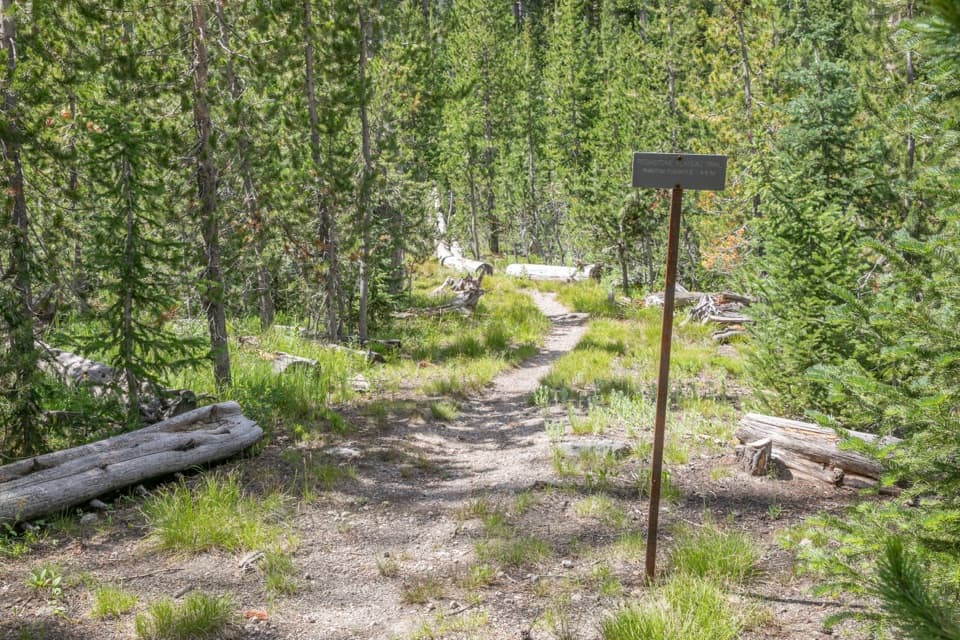 ChallengingPitchstone Plateau Trail16.3 mi · 9 hr · 7.4 mi awayA long point-to-point hike over Yellowstone’s young lava plateau.
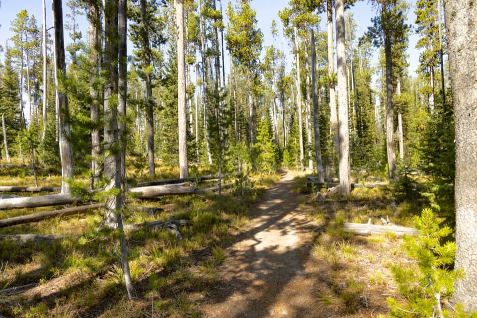 ChallengingMountain Ash Creek Trail11.6 mi · 8 hr · 7.7 mi awayA historic wagon road and an unbridged Falls River ford
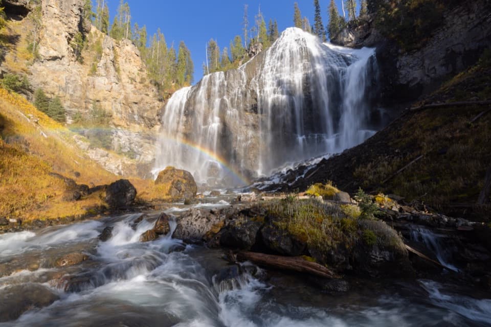 ChallengingUnion Falls Trail15.4 mi · 9 hr · 7.7 mi awayA long backcountry walk to Yellowstone’s second-tallest waterfall.
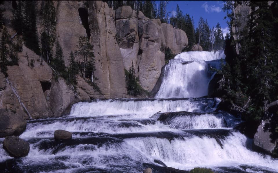 ModerateTerraced Falls Trail4 mi · 2.5 hr · 9 mi awaySix waterfall tiers make this quiet backcountry walk worthwhile.
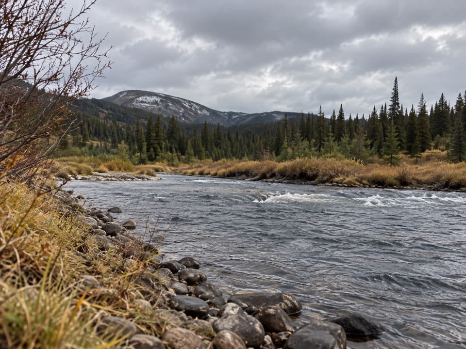 EasySnake River Canyon Trail2.5 mi · 1.5 hr · 9.1 mi awayAn easy river-valley connector in Yellowstone's remote backcountry.
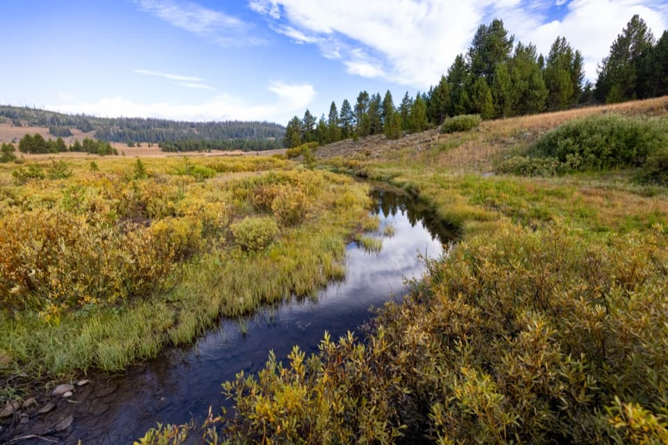 ChallengingSouth Boundary Trail: Harebell–Fox Creek11.1 mi · 6.5 hr · 9.3 mi awayEleven remote miles between a patrol cabin and the Snake River.
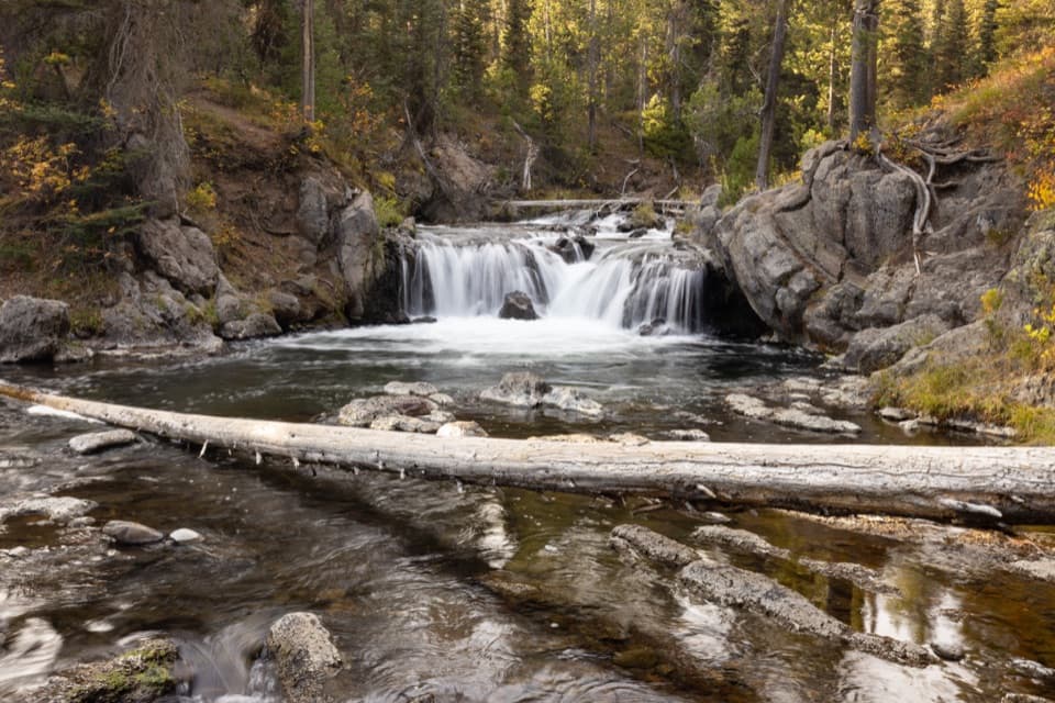 EasyNorth Fork Trail to Scout Pool0.6 mi · 30 min · 11.2 mi awayA brief Scout Pool detour on the long Union Falls hike.
Parkwolf’s Yellowstone ranking

The audio tour guide for the drive, plus offline maps, trails, and wildlife heatmaps for when the signal drops.