Parking
Cascade Creek Trailhead (9K5) on Grassy Lake Road, about 13 miles from Flagg Ranch; parking is along both sides of the road. The gravel and dirt approach is rough, so check current road status before driving out.
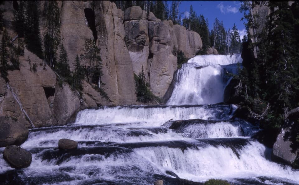
Yellowstone National Park, WY · MT · ID
Six waterfall tiers make this quiet backcountry walk worthwhile.
Overview
Map & elevation
Plan your hike

The highest, rockiest slopes around here are a summer buffet for grizzly bears.
Yellowstone Tour Guide
Parkwolf is a GPS audio tour guide for Yellowstone National Park. As you drive, it chimes in with what’s ahead: hidden gems, upcoming stops, history, geology, and wildlife, right through your car’s speakers.
See the Yellowstone audio tour“First time driving through a national park. We used the Yellowstone tour on grand loop Road and it’s just like having a tour guide in your car with you.”


Trail guide
Terraced Falls Trail is an about 4-mile round-trip out-and-back from Cascade Creek Trailhead (9K5) through Yellowstone’s Bechler backcountry to a view of the falls. You follow an old roadbed, then Cascade Creek and Falls River, passing smaller cascades on the way. The trail drops about 350 feet toward the falls, then climbs back. Allow around 2.5 hours with time at the water; this is a remote half-day outing, not a quick roadside stop.
The first quarter mile follows an old roadbed. At the fork, go left for Terraced Falls. The right branch heads toward the Grassy Lake–Union Falls route. A short stream crossing follows the fork; its level can vary, so look for a safe place across rather than assuming it will be a dry step.
The trail winds through forest beside Cascade Creek, with several smaller cascades along the way. Around 1.4 miles in, it reaches Cascade Acres on Falls River. From there, follow the river corridor for roughly another half mile to the overlook. The water keeps the approach interesting, so the main falls aren’t the only reason to make the walk.
Terraced Falls drops through six tiers, about 140 feet in all, into a volcanic canyon. From the south bank the view is from above; you don’t get a good look at the base. Frame the falling steps with some canyon wall to show how the tiers fit together. The overlook is unguarded beside a steep, potentially undercut bank, so stay back from the edge.
Cascade Creek Trailhead (9K5) is on Grassy Lake Road, about 13 miles from Flagg Ranch, with roadside parking on both sides. The gravel and dirt approach is rough and remote; check current road status before setting out. This is Yellowstone backcountry, where pets are prohibited except service animals.
Wildlife
 713 sightingsGrizzly BearMost seen around 6 AMSighting map
 743 sightingsWolfMost seen around 6 AMSighting map
 5,273 sightingsBisonMost seen around 7 AMSighting map
 3,258 sightingsElkMost seen around 7 PMSighting map
 397 sightingsMooseMost seen around 7 PMSighting map
 1,494 sightingsBlack BearMost seen around 7 PMSighting map
Sighting maps show where each species has been reported across Yellowstone. Wildlife moves, so no sighting is guaranteed.
Keep exploring
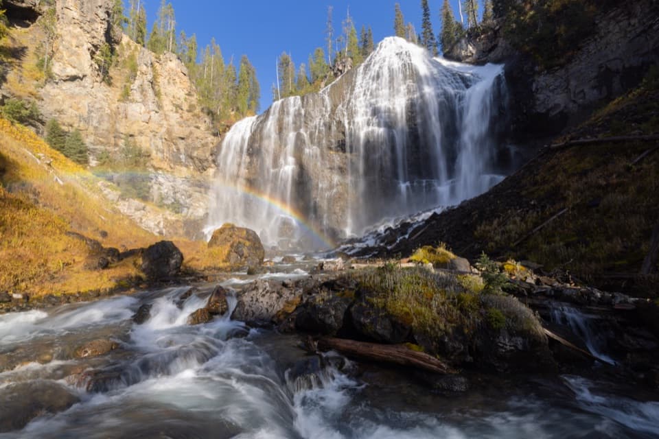 ChallengingUnion Falls Trail15.4 mi · 9 hr · 1.3 mi awayA long backcountry walk to Yellowstone’s second-tallest waterfall.
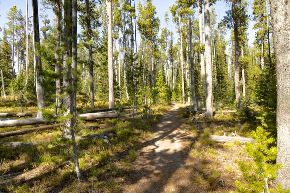 ChallengingMountain Ash Creek Trail11.6 mi · 8 hr · 1.3 mi awayA historic wagon road and an unbridged Falls River ford
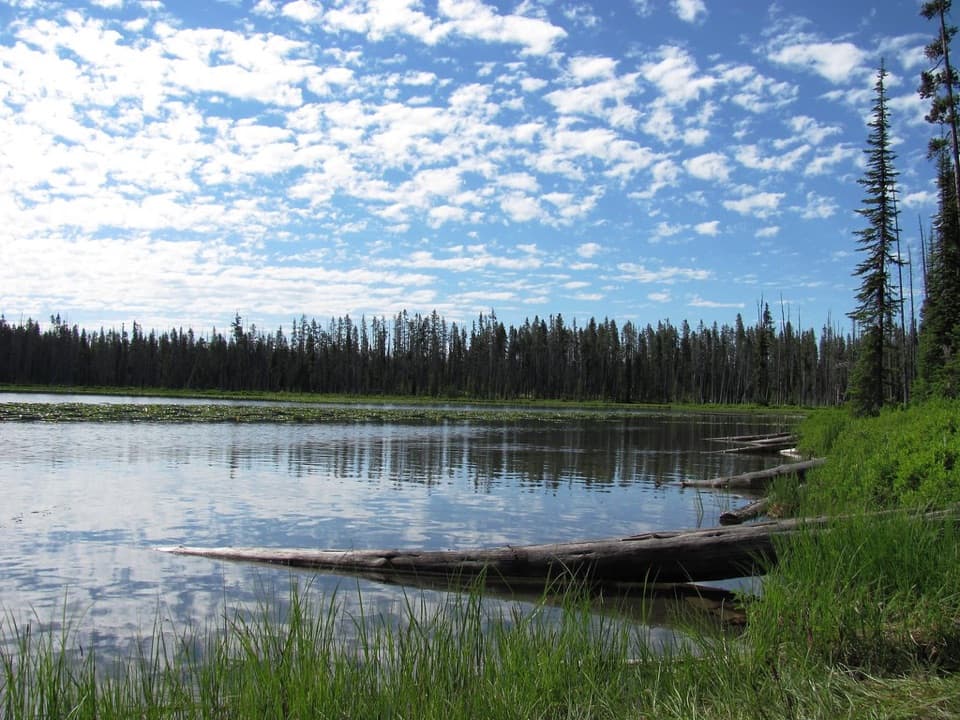 ModerateBeula Lake Trail5.2 mi · 2.7 hr · 3 mi awayA ridge-top reservoir view before the trail drops to Beula Lake.
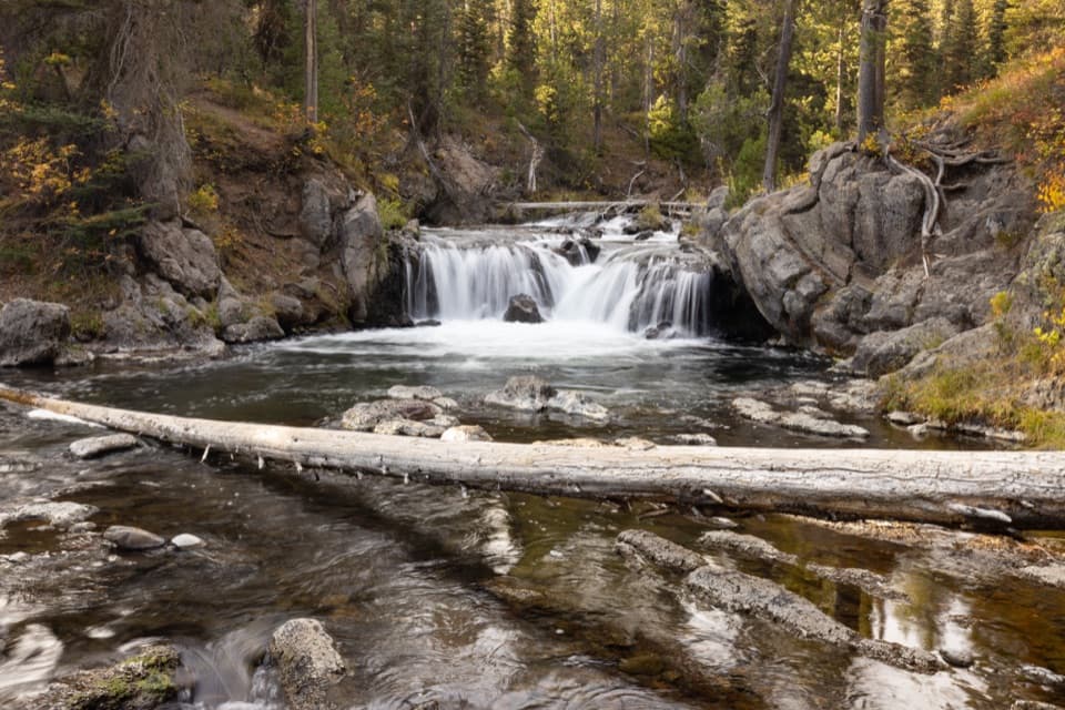 EasyNorth Fork Trail to Scout Pool0.6 mi · 30 min · 4.6 mi awayA brief Scout Pool detour on the long Union Falls hike.
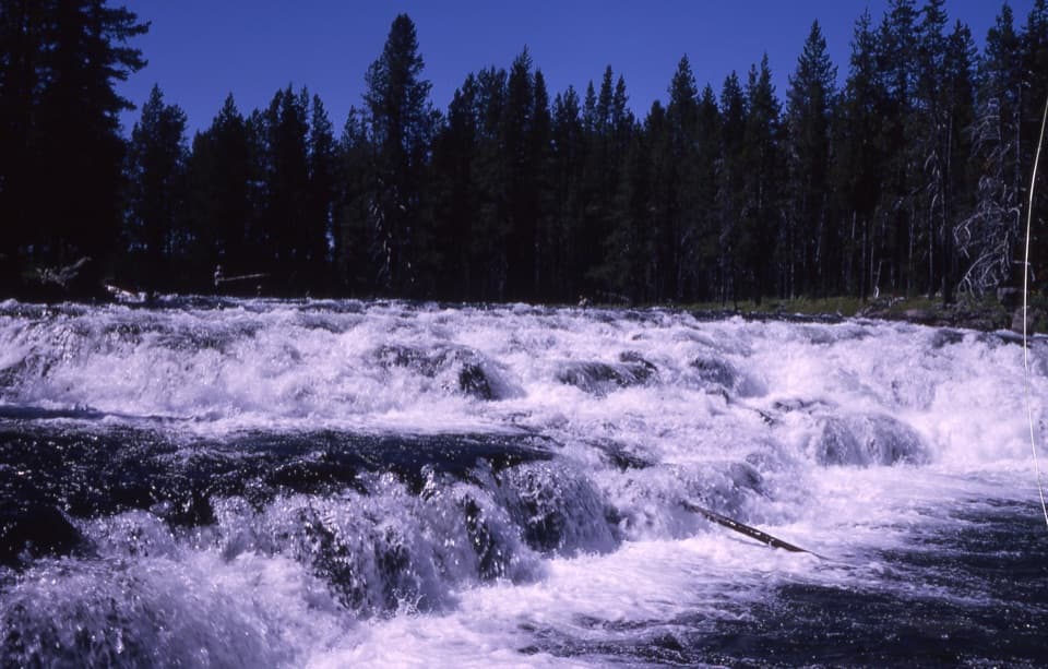 EasyBechler Falls Trail2.6 mi · 1.3 hr · 7.6 mi awayA forested river walk threads cascades to a low waterfall.
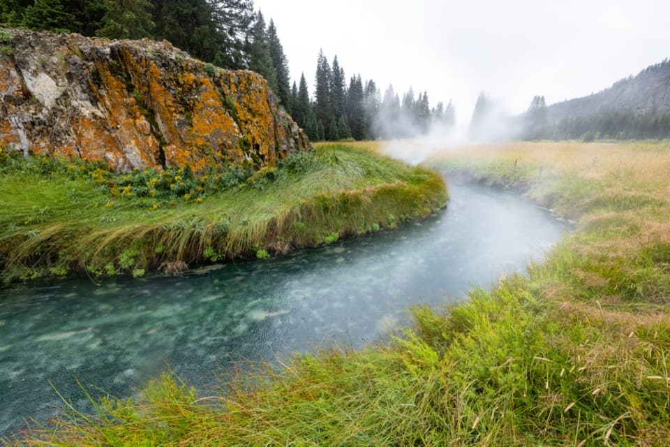 ModerateSouth Boundary Trail: South Entrance–Harebell11.6 mi · 6 hr · 9 mi awayFollow the Snake River to a remote, 1915 patrol cabin.
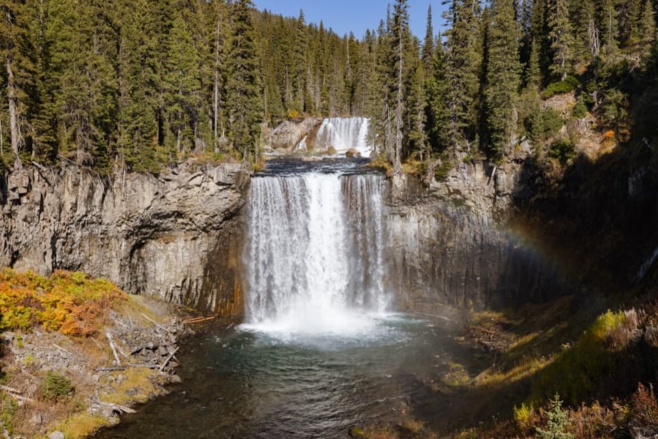 ChallengingColonnade Falls Trail18 mi · 9 hr · 9.9 mi awayA long, nearly level route to a two-tier backcountry waterfall.ChallengingBechler River Trail30 mi · 20 hr · 9.9 mi awayA remote river traverse threads meadows, waterfalls, and thermal ground.
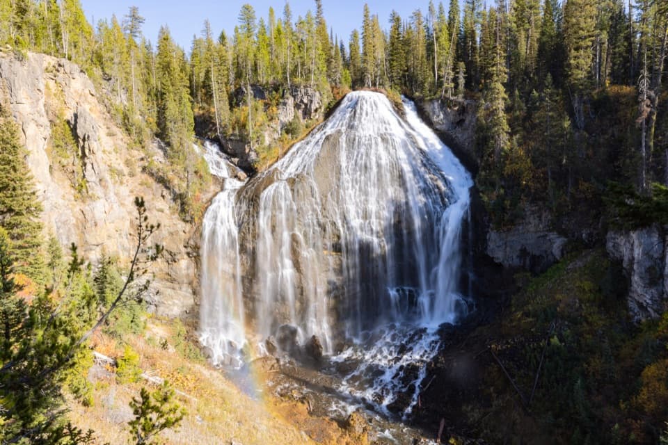 Sight · 4.5 mi awayUnion FallsTwo streams meet at the brink, then plunge about 250 feet.
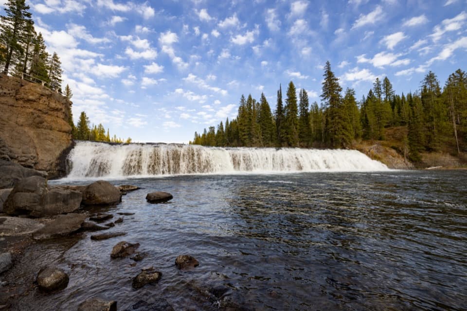 Sight · 7.5 mi awayCave FallsA broad cascade at the end of a long, rough gravel road.
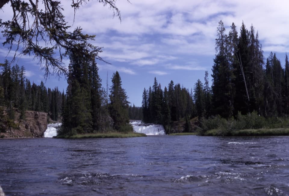 Sight · 8.3 mi awayBechler FallsA low cascade rewards the long, remote approach through river country.
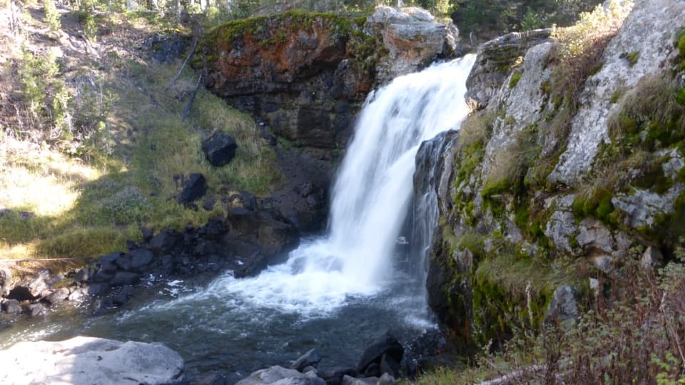 Sight · 8.8 mi awayMoose FallsA short stop for Yellowstone’s 30-foot Moose Falls.
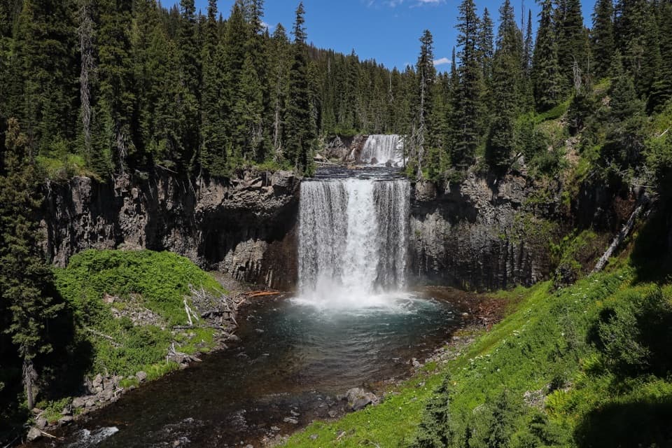 Sight · 9 mi awayColonnade FallsPaired falls reached by a long hike and a cold river ford.
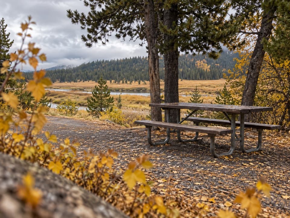 Picnic area · 9 mi awaySnake River Picnic AreaA real lunch stop with river views, tables and fire grates.
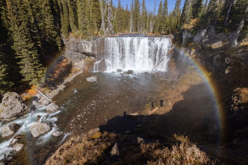 Sight · 9.1 mi awayIris FallsA 45-foot waterfall with rainbow-prone spray in the Bechler backcountry.
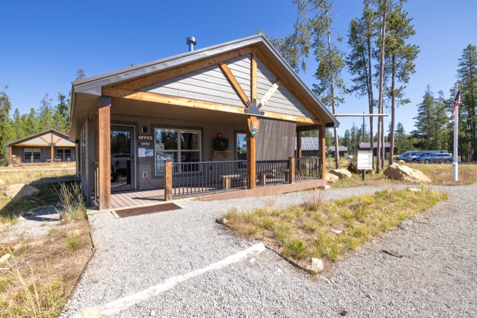 Ranger station · 10 mi awayBechler Backcountry OfficeGet Bechler route advice and backcountry permits here.
Parkwolf’s Yellowstone ranking

The audio tour guide for the drive, plus offline maps, trails, and wildlife heatmaps for when the signal drops.





