Parking
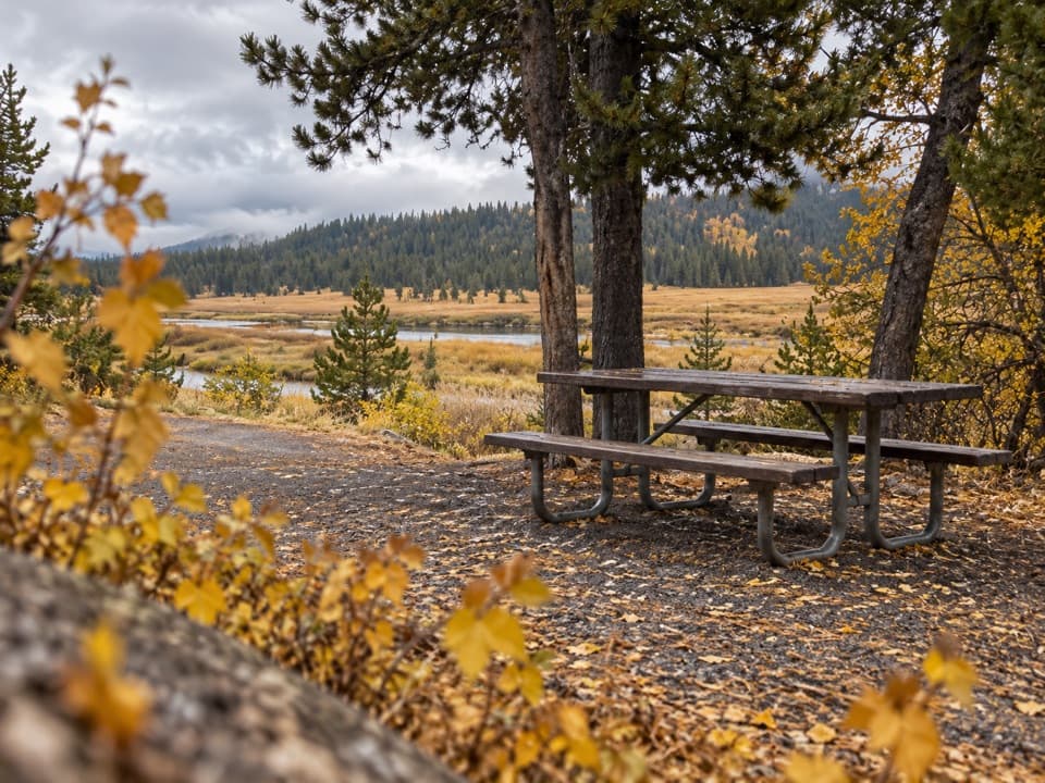
Use the steep pullout on the north side of Grassy Lake Road at the reservoir's east end (Beula Lake Trailhead, 8K6). The trail sign appears a short way after you start.
Yellowstone National Park, WY · MT · ID
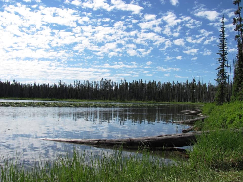
A ridge-top reservoir view before the trail drops to Beula Lake.
Overview
Map & elevation
Plan your hike

The highest, rockiest slopes around here are a summer buffet for grizzly bears.
Yellowstone Tour Guide
Parkwolf is a GPS audio tour guide for Yellowstone National Park. As you drive, it chimes in with what’s ahead: hidden gems, upcoming stops, history, geology, and wildlife, right through your car’s speakers.
See the Yellowstone audio tourMore stories near here in the app
“First time driving through a national park. We used the Yellowstone tour on grand loop Road and it’s just like having a tour guide in your car with you.”


Trail guide
Beula Lake Trail is a 5.2-mile out-and-back from a pullout at the east end of Grassy Lake Reservoir to Beula Lake. Allow about 2½ to 3 hours. The trail climbs to a ridge, crosses rolling lodgepole forest, then descends to the lake; the return follows the same corridor. It is a moderate hike with a real uphill finish, not a level lakeshore stroll. If you are already exploring the Bechler area, the ridge-to-lake walk is a worthwhile half-day outing.
The north-side pullout is easy to overlook. A short way after leaving the road, a sign confirms the trail. The first climb reaches a knoll, where open breaks look back toward Grassy Lake Reservoir. Beyond the ridge, the tread rolls gently through lodgepole pines, with few broad views through the middle stretch. In late summer or early fall, huckleberry groundcover can turn burgundy.
Near the far ridge, the lake comes into view with Mount Sheridan and its lookout beyond. The trail then drops fairly steeply; a brief opening gives a glimpse of neighboring Hering Lake before the path reaches Beula's shore. A shoreline continuation has been reported past several campsites, but its exact endpoint is not mapped in the official trail information. The route here turns around at the lake shore rather than treating a campsite as a required destination. For the ridge photo, frame the lake with Mount Sheridan and the lookout beyond it.
Beula Lake covers about 107 acres and supports Yellowstone cutthroat trout. Fishing requires a Yellowstone fishing permit. Lily pads and waterfowl have been noted at the shore, though wildlife sightings vary. No food service or potable-water source is documented at the trail access, so plan for a backcountry walk without services along the route.
Wildlife
 713 sightingsGrizzly BearMost seen around 6 AMSighting map
 743 sightingsWolfMost seen around 6 AMSighting map
 5,273 sightingsBisonMost seen around 7 AMSighting map
 3,258 sightingsElkMost seen around 7 PMSighting map
 397 sightingsMooseMost seen around 7 PMSighting map
 1,494 sightingsBlack BearMost seen around 7 PMSighting map
Sighting maps show where each species has been reported across Yellowstone. Wildlife moves, so no sighting is guaranteed.
Keep exploring
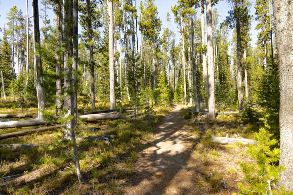 ChallengingMountain Ash Creek Trail11.6 mi · 8 hr · 1.7 mi awayA historic wagon road and an unbridged Falls River ford
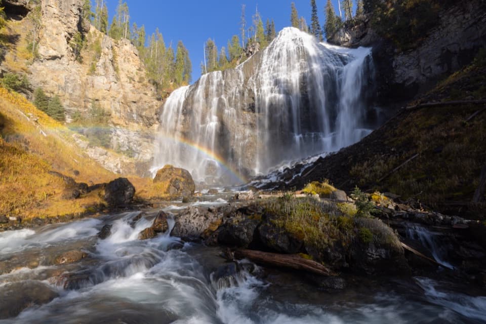 ChallengingUnion Falls Trail15.4 mi · 9 hr · 1.8 mi awayA long backcountry walk to Yellowstone’s second-tallest waterfall.
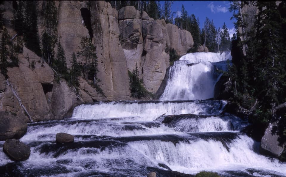 ModerateTerraced Falls Trail4 mi · 2.5 hr · 3 mi awaySix waterfall tiers make this quiet backcountry walk worthwhile.
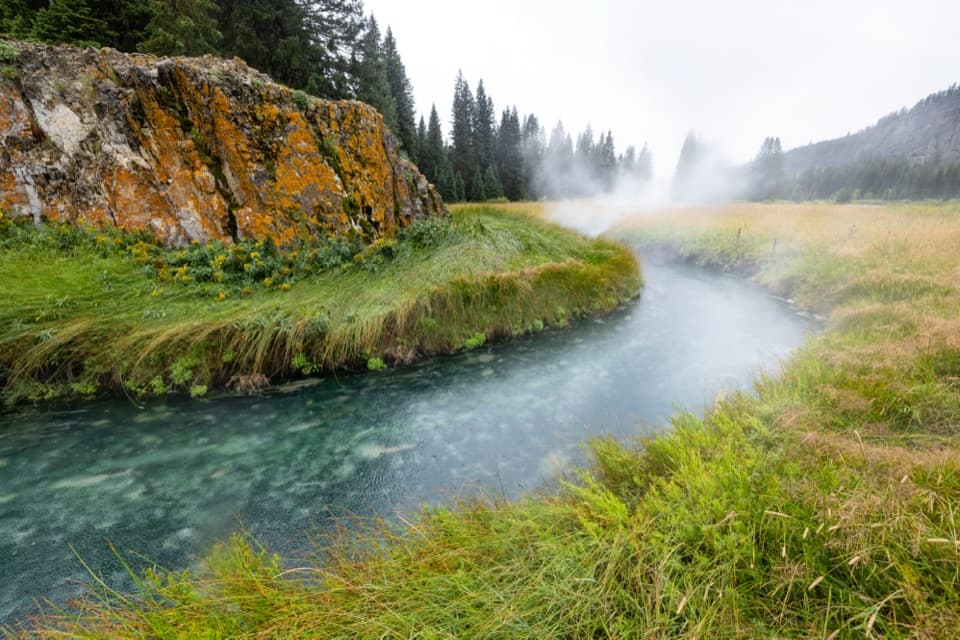 ModerateSouth Boundary Trail: South Entrance–Harebell11.6 mi · 6 hr · 6 mi awayFollow the Snake River to a remote, 1915 patrol cabin.
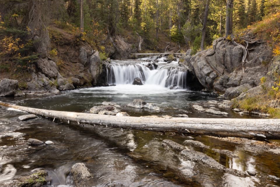 EasyNorth Fork Trail to Scout Pool0.6 mi · 30 min · 6.5 mi awayA brief Scout Pool detour on the long Union Falls hike.
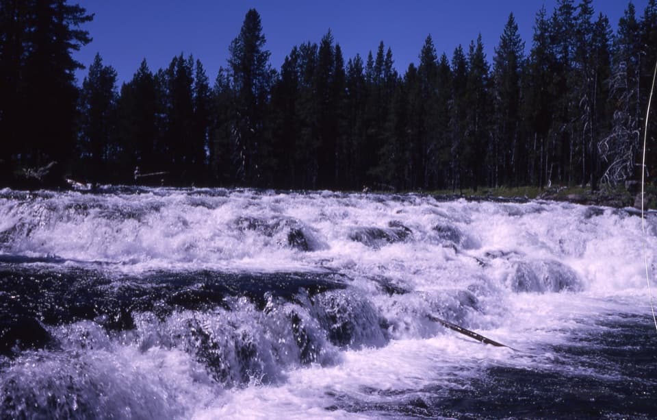 EasyBechler Falls Trail2.6 mi · 1.3 hr · 10.6 mi awayA forested river walk threads cascades to a low waterfall.
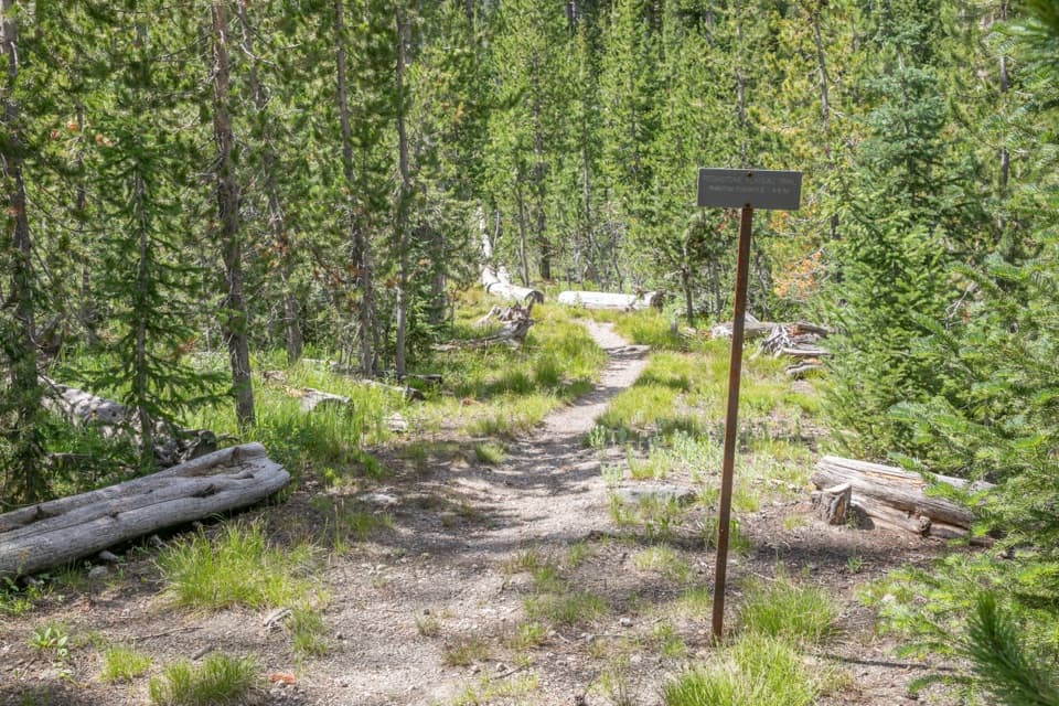 ChallengingPitchstone Plateau Trail16.3 mi · 9 hr · 10.7 mi awayA long point-to-point hike over Yellowstone’s young lava plateau.
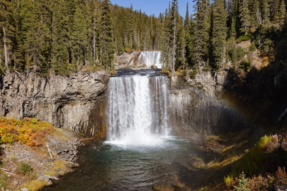 ChallengingColonnade Falls Trail18 mi · 9 hr · 13 mi awayA long, nearly level route to a two-tier backcountry waterfall.
Parkwolf’s Yellowstone ranking

The audio tour guide for the drive, plus offline maps, trails, and wildlife heatmaps for when the signal drops.