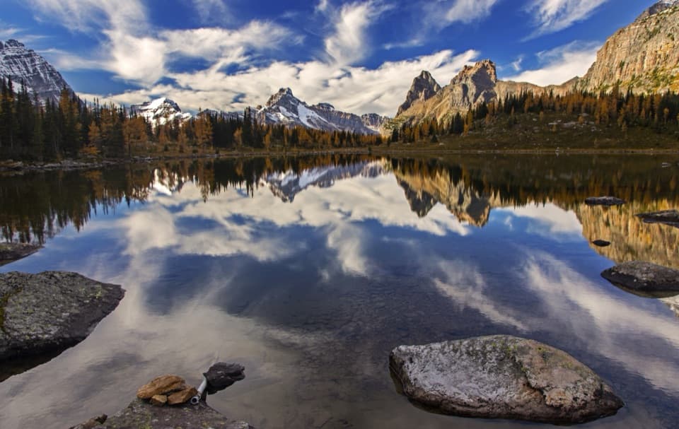
Iceline via Celeste Lake Loop in Yoho National Park

#7 of 54 trails in Yoho

Yoho National Park, BC

Iceline via Celeste Lake Loop

Steep climb, glacier views, and a Celeste Lake descent.

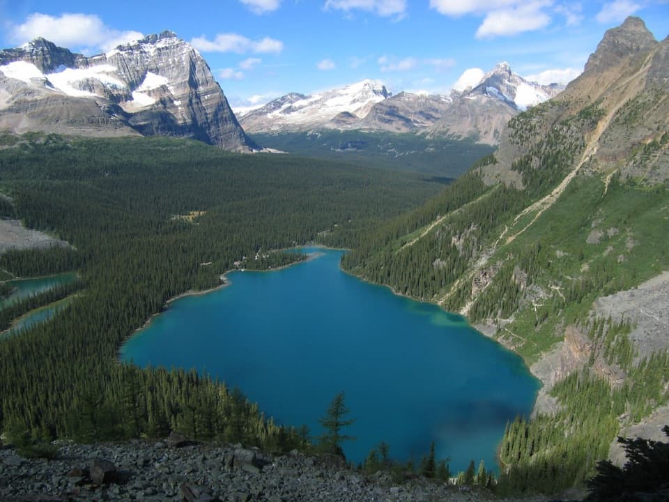
Photo: Wikimedia Commons
Length
17.4km
Time
7hr
Elev. change
683m
Difficulty
Challenging
  • Loop
  • Dogs allowed
  • High point 2,191 m

Hear the audio tour

Iceline and Yoho Lake: Choose Your Hiking Day

Overview

About Iceline via Celeste Lake Loop

Why go

  • Glacier, waterfall, and tarn views from the high alpine bench.
  • Celeste Lake and Laughing Falls give the loop two distinct mountain stops.

Heads up

  • A long, steep climb leads into an exposed alpine section.

Map & elevation

The route

Loading the Yoho map
Full map
Elevation1,508–2,191 m
TrailheadTakakkaw Falls parking lot51.49752, -116.48407
Keep this map with you offline in the Parkwolf app

Plan your hike

Before you go

Parking

Takakkaw Falls Parking Lot, at the end of Yoho Valley Road. This popular lot fills early in summer and on weekends. The road typically opens mid-June through mid-October; its tight switchbacks require vehicles over 7 m to reverse, and trailers are prohibited. A valid national park entry pass is required.

Safety

The sustained forest climb is steep, and the upper bench is open to changing weather. Expect uneven rock, meltwater streams, and marshy footing near Celeste Lake. Dogs must remain leashed.

5 active Yoho alerts

  • ClosureYoho Valley Road closed for avalanche seasonYoho Valley Road is closed to vehicles from mid-October to mid-June because of avalanche risk. - Parks Canada’s current trail report lists no vehicle access to trails in the Yoho Valley.Official details
  • CautionWatercraft and angling prohibited in YohoWatercraft use and angling are prohibited on all waterbodies in Yoho National Park until March 31, 2027, to reduce the spread of aquatic invasive species, including whirling disease.Official details
See all 5 alerts
A park ranger sits on a dash-mounted phone, talking, as Parkwolf’s Tour Guide plays “Army Cutworm Moths: A Grizzly Bear Buffet” on Grand Loop Road below Dunraven Pass in Yellowstone
Parkwolf Tour GuideThe highest, rockiest slopes around here are a summer buffet for grizzly bears.

Yoho Tour Guide

Your drive to Iceline via Celeste Lake Loop, narrated.

Parkwolf is a GPS audio tour guide for Yoho National Park. As you drive, it chimes in with what’s ahead: hidden gems, upcoming stops, history, geology, and wildlife, right through your car’s speakers.

See the Yoho audio tour

Recorded for this trailhead

Iceline and Yoho Lake: Choose Your Hiking Day
0:00 / 0:25
“You're coming up on the Iceline and Yoho Lake trail access, where the hikes start with a steep forest climb.”

Plays as you drive up to this trailhead in the Parkwolf Yoho Tour Guide.

More stories near here in the app

  • Takakkaw Falls: A Short Walk to the Spray
  • The Songbird Under the Water
  • The Workers Held at Camp Otter
  • Why Yoho Gets Wetter Toward the Divide
  • 35 audio storiesacross Yoho’s roads, triggered by GPS as you drive
  • Wildlife heatmapsfor Grizzly Bear, Mountain Goat, Black Bear, and 13 more
  • Works offlinemaps, 54 trails, 58 places, and audio download before you lose signal
  • CarPlay readysimple controls built for the drive
★★★★★
“Fantastic app with many points of information… It’s great to just turn on while you’re driving and it gives you an audio tour of the national Park. We love it!!!!”
JMJamesApp Store review
Download Parkwolf on the App StoreGet Parkwolf on Google Play

4.7 from 8,600+ ratings

Trail guide

Hiking Iceline via Celeste Lake Loop

The routeThis is a 17.4 km (10.

This is a 17.4 km (10.8 mi) loop from the Takakkaw Falls parking lot, with about 970 m of climbing and descending and a typical full-day pace of seven hours. It climbs from the Yoho Valley to the Iceline’s glacier-sculpted bench, then drops by Celeste Lake and lower Little Yoho Valley to Laughing Falls before returning along the Yoho River. It combines a steep forest climb, open alpine walking, lakes, and waterfalls. Carry the food and drink you need for a full day.

The climb from the valleyFrom the east side of the parking area, head toward the falls on the broad valley path, then…

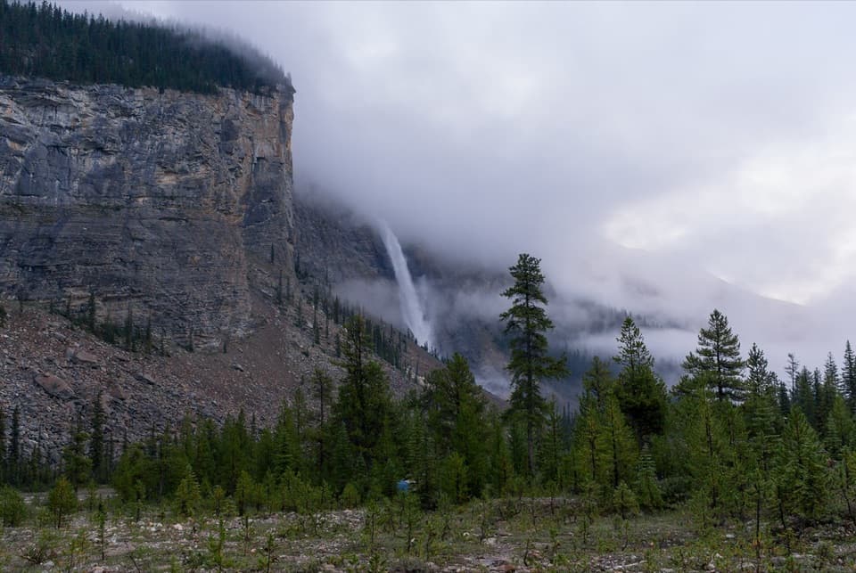
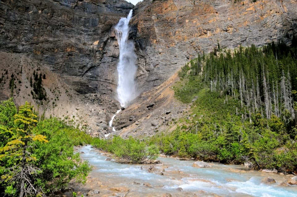
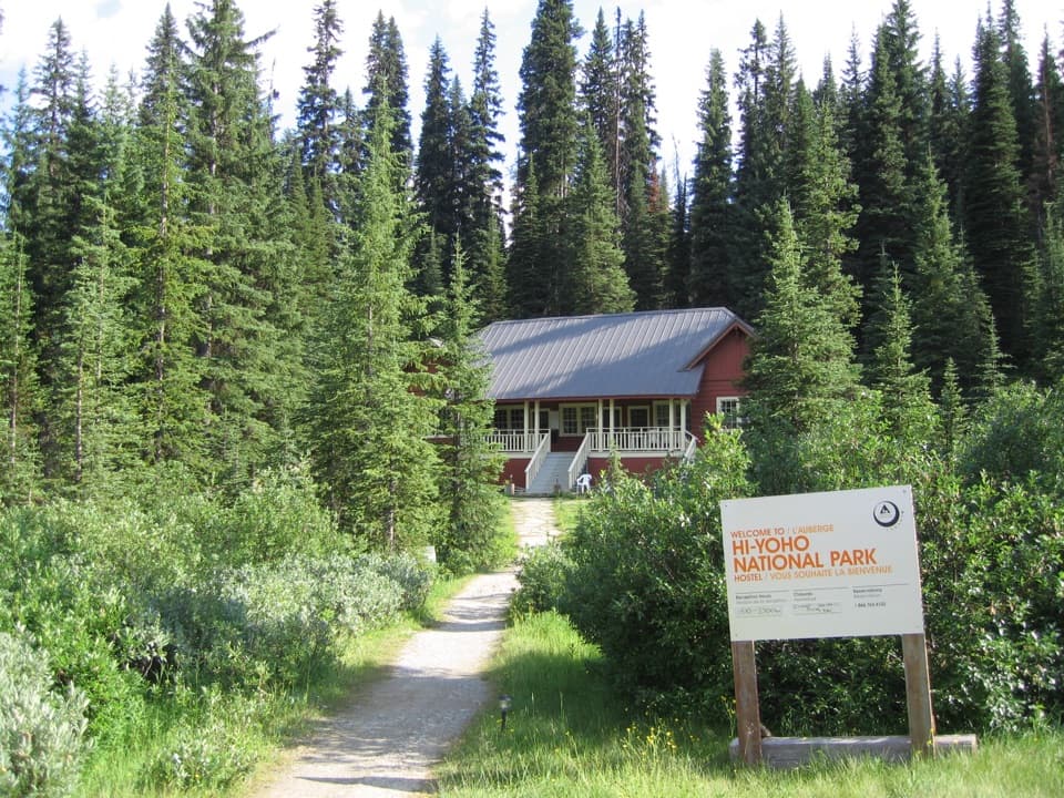
From the east side of the parking area, head toward the falls on the broad valley path, then cross Yoho Valley Road near the hostel and follow the steep switchbacks through forest. This is the hardest sustained climb of the loop. Short openings give you glimpses back toward Takakkaw Falls, but most of the ascent is wooded. Take a steady pace; the open bench comes after the main push.

The Iceline benchAbove treeline, the tread crosses rough gravel, rocky ledges, and glacial moraine.

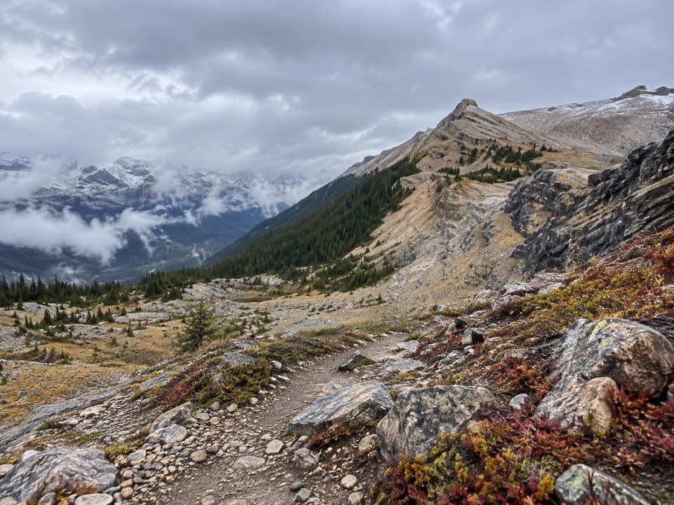
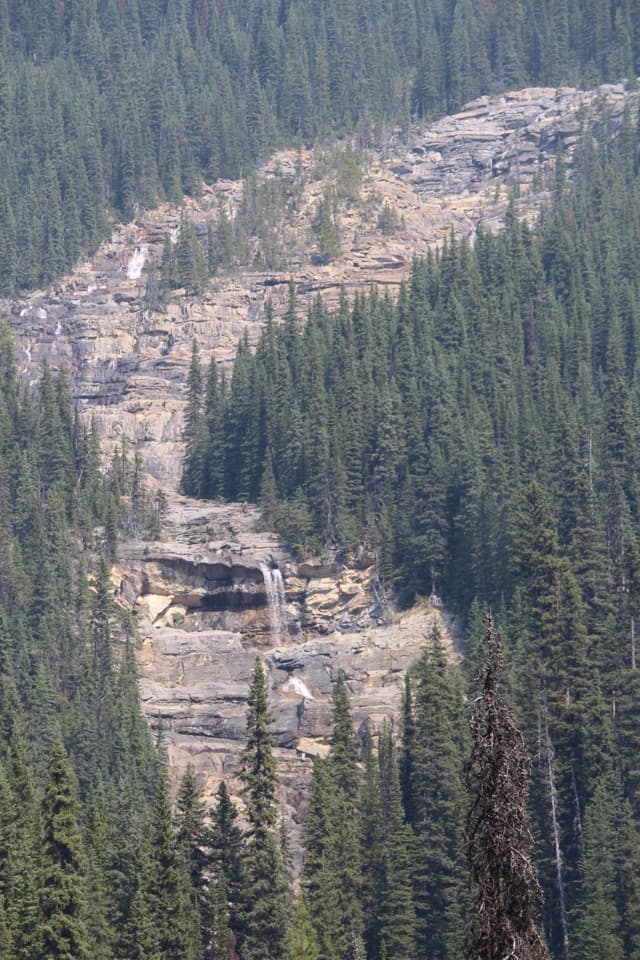
Above treeline, the tread crosses rough gravel, rocky ledges, and glacial moraine. Small tarns and cold meltwater streams break up the open walking, while the views widen to Emerald Glacier, the Waputik icefields, the Yoho Valley, and Takakkaw Falls across the valley. The waterfall-and-valley view from the rocky bench is a natural photo stop; step well aside from the narrow tread. There is little shelter once you are above the trees, so changing weather matters more here than on the lower forest trail.

Choose the Celeste descentThe Celeste Lake Connector leaves the Iceline shortly before its high point. The 17.

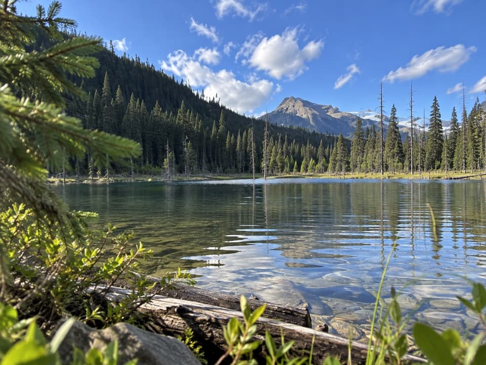
The Celeste Lake Connector leaves the Iceline shortly before its high point. The 17.4 km loop follows that connector; continuing to the Iceline high point and retracing to the junction is an optional out-and-back that adds distance. The descent starts across a meadow and stream, steepens through forest, then bends along Celeste Lake. Lower down, boardwalks cross marshy runoff before a bridge over the Little Yoho River. This route avoids the longer upper Little Yoho Valley circuit while still reaching the lower valley return.

Laughing Falls and the river walkAfter the connector, follow the lower Little Yoho Valley trail downhill to Laughing Falls, then…

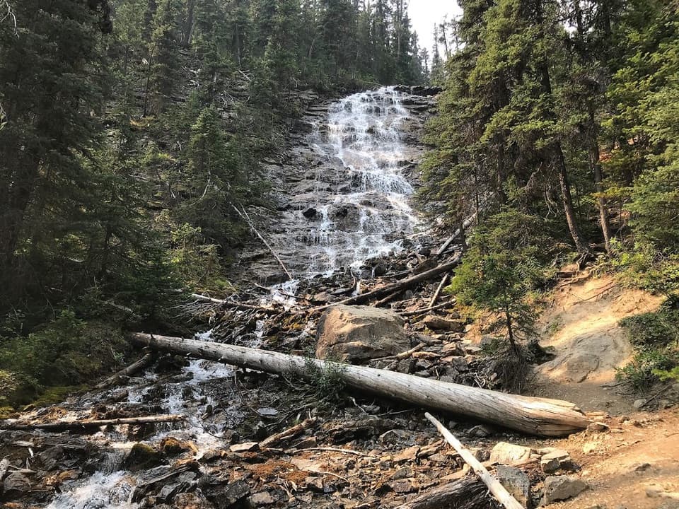
After the connector, follow the lower Little Yoho Valley trail downhill to Laughing Falls, then turn onto the Yoho Valley Trail. The waterfall is a good pause before the longer walk out. From there the route follows the river through forest, with a few open rocky stretches and more views toward the valley walls and the falls area. The lower return is easier than the climb but still adds several kilometres after the alpine section.

Access and trail rulesThe loop starts and ends at Takakkaw Falls Parking Lot, at the end of Yoho Valley Road.

The loop starts and ends at Takakkaw Falls Parking Lot, at the end of Yoho Valley Road. The popular lot fills early in summer and on weekends. The road usually opens from mid-June through mid-October; its tight switchbacks require vehicles longer than 7 m to reverse, and trailers are not allowed. A valid national park entry pass is required. Dogs are allowed on this route but must stay leashed; pick up and pack out waste. Follow trailhead notices for any area-specific pet restrictions.

Wildlife

Wildlife in Yoho

All Yoho wildlife maps

Sighting maps show where each species has been reported across Yoho. Wildlife moves, so no sighting is guaranteed.

Keep exploring

Near Iceline via Celeste Lake Loop

See it all on the map

Trails that start nearby

Places near the trailhead

Parkwolf’s Yoho ranking

Top-rated trails in Yoho

All 54 trails
  1. 1Lake O’Hara Alpine CircuitChallenging · 11.1 km
  2. 2Iceline via Little YohoChallenging · 20.3 km
  3. 3Lake McArthur CircuitModerate · 8 km
  4. 4Opabin Plateau CircuitModerate · 6.7 km
  5. 5Emerald Lakeshore TrailEasy · 5.2 km
  6. 6Lake Oesa TrailModerate · 6.4 km

Take Parkwolf to Yoho.

The audio tour guide for the drive, plus offline maps, trails, and wildlife heatmaps for when the signal drops.

4.7 from 8,600+ ratings

Download Parkwolf on the App StoreGet Parkwolf on Google Play