Parking
Starts and finishes by Bainbridge village green. No dedicated trailhead car park is identified in the official route materials; arrange legal village parking near the green and keep local access clear.
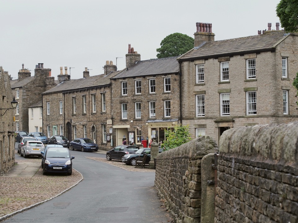
Yorkshire Dales National Park, EN
Mills, village greens and old railway on a 4.5-mile audio loop
Overview
Map & elevation
Plan your hike

The highest, rockiest slopes around here are a summer buffet for grizzly bears.
Yorkshire Dales Tour Guide
Parkwolf is a GPS audio tour guide for Yorkshire Dales National Park. As you drive, it chimes in with what’s ahead: hidden gems, upcoming stops, history, geology, and wildlife, right through your car’s speakers.
Recorded for this area
A Green for Twelve Foresters“Bainbridge's broad village green tells you this was a planned settlement. In a medieval account, the village had homes and nine-acre plots for twelve foresters who served the surrounding forest.”
Plays on the road 0.9 km from the trailhead in the Parkwolf Yorkshire Dales Tour Guide.
More stories near here in the app
“Fantastic app with many points of information… It’s great to just turn on while you’re driving and it gives you an audio tour of the national Park. We love it!!!!”


Trail guide
This is a closed loop of 4.5 miles that starts and finishes in Bainbridge, where the village is built around a large green. It is a self-guided audio trail with 14 numbered stops, so the walking is paced by listening rather than by climbing, and the interest is in this part of Wensleydale rather than in a summit.
From the green the route works out into the surrounding valley and over to Askrigg, then returns using field paths, lanes and part of the former railway corridor. Along the way the commentary covers the mills that were once an important part of valley industry and the historic buildings in both villages. The reward is a steady thread of local history through farmland and two contrasting Dales villages, with the old railway line giving the return leg its own character.
Rated moderate, with roughly 465 ft of ascent and a typical time of about 1.75 hours at walking pace, longer if you stop at each audio point. The profile is low level and gently rolling, climbing from around 220 m near the village to a high point near 280 m before easing back down. Expect a few short pulls rather than sustained climbing.
The loop mixes village streets and lanes with farm tracks and field paths. Official walking guidance suggests printing the route, carrying an up to date OS Explorer OL30 map, wearing strong shoes or boots, and packing wet weather gear. Field sections can be soft after rain, and this is not a smooth or barrier free route, so plan for ordinary Dales walking conditions.
Dogs are welcome under national park guidance, which asks that they are kept on a lead on public rights of way and in fields where livestock is present. The walk begins and ends at the village green rather than a separate trailhead, and there is no dedicated car park identified for this route, so arrange legal parking in the village and take care not to block local access.
Wildlife
 10 sightingsEurasian OtterMost seen around 7 PMSighting map
 11 sightingsAtlantic SalmonMost seen around 7 AMSighting map
 12 sightingsShort-eared OwlMost seen around 7 PMSighting map
 22 sightingsWestern Barn OwlMost seen around 6 AMSighting map
 27 sightingsTawny OwlMost seen around 7 PMSighting map
 34 sightingsCommon KingfisherMost seen around 7 AMSighting map
Sighting maps show where each species has been reported across Yorkshire Dales. Wildlife moves, so no sighting is guaranteed.
Keep exploring
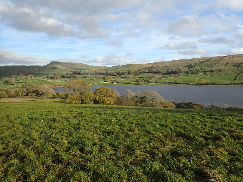 ModerateSemerwater and Raydale Circular11.8 km · 4.5 hr · 2.9 km awayLakeside nature reserve first, then a steep climb to high views
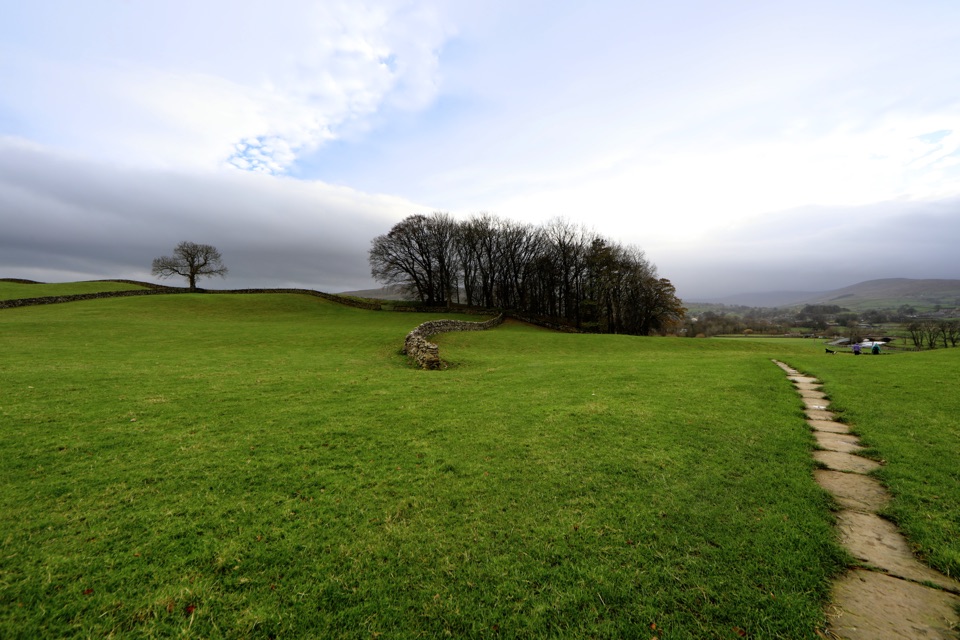 ModerateHawes to Sedbusk Circular5.6 km · 1.8 hr · 5.6 km awayHay meadows, field barns and a packhorse bridge on a short loop
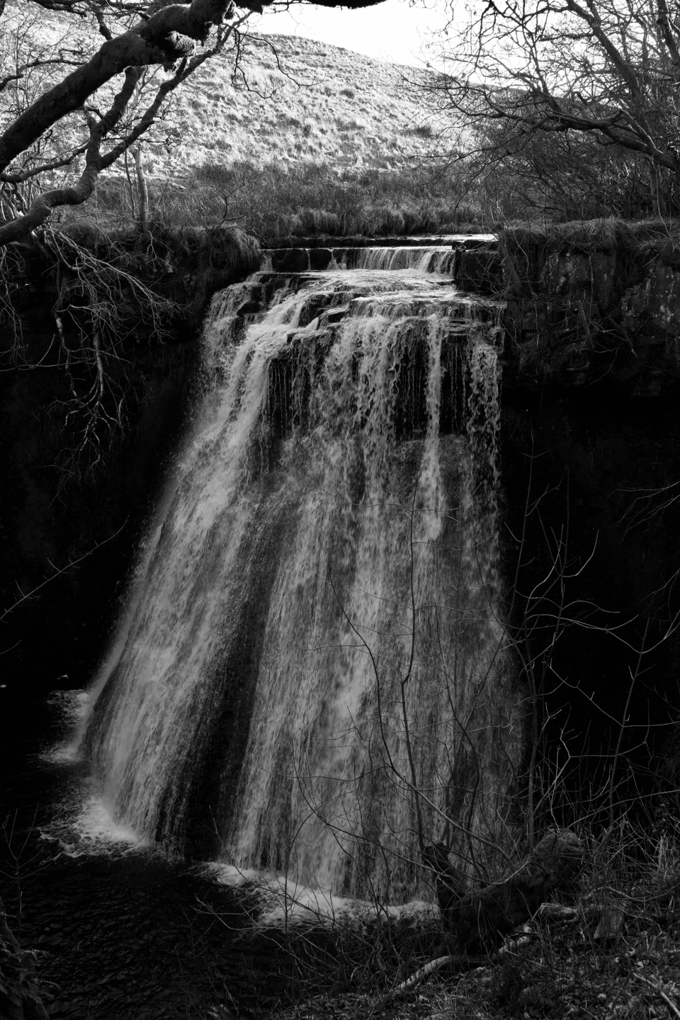 ModerateHawes Mosaic Walk17.4 km · 4.8 hr · 5.7 km awayHunt 20 wall-set mosaics on a long Upper Wensleydale village loopModerateHawes and Aysgill Force6.4 km · 2.5 hr · 5.7 km awayCobbled lanes and steep steps to a gorge waterfall above Gayle
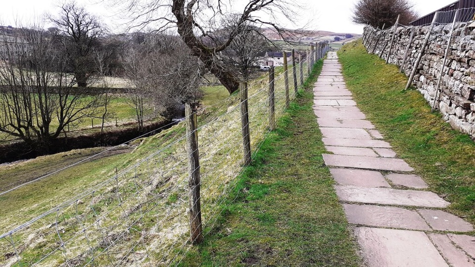 EasyHawes Accessible Walk1.5 km · 45 min · 5.7 km awayCobbled climb, then stone flags along Gayle Beck toward pasture views
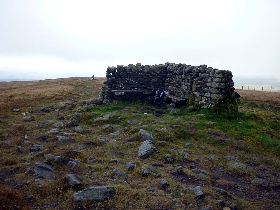 ModerateGreat Shunner Fell14.8 km · 5.7 hr · 6.6 km awaySteady Pennine Way climb from Hardraw to an exposed summit shelter
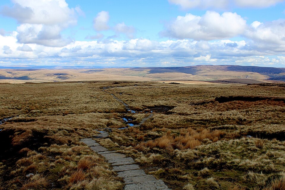 ChallengingHerriot Way83.7 km · 1.2 days · 7.4 km awayFour moorland days linking waterfalls, high fells and lead-mining ruins
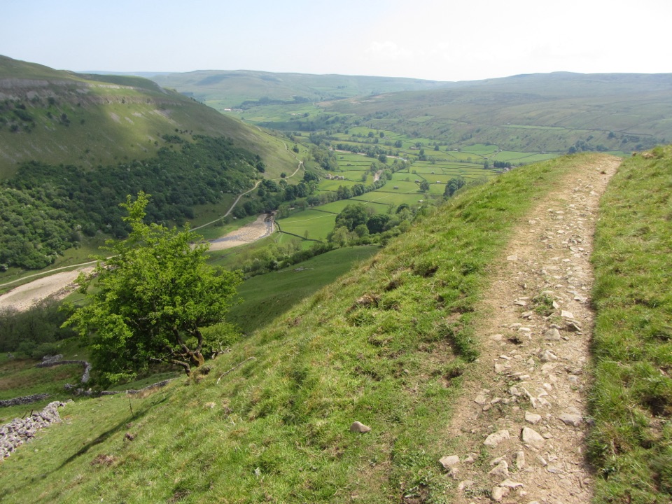 ChallengingMuker, Keld and the Corpse Way8.9 km · 3.5 hr · 7.9 km awayMeadows, waterfall detour and a hard climb on the old Corpse Road
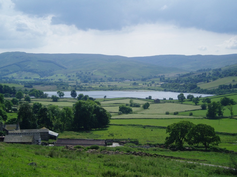 Sight · 3.3 km awaySemerwaterOne of only two natural lakes in the national park, glacier-made
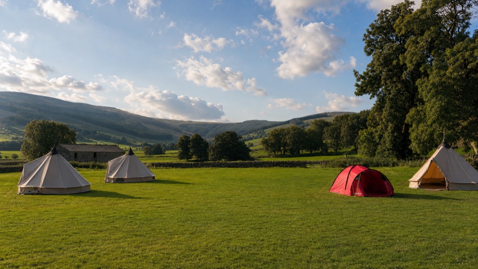 Campground · 5.1 km awayStablefell Holidays and CampsiteTent-only meadow pitches with firepits, no signal, walk to Semerwater
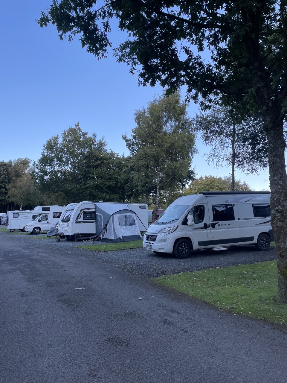 Campground · 5.4 km awayHawes Caravan and Motorhome Club CampsiteMembers-only touring base a ten-minute walk from Hawes market town
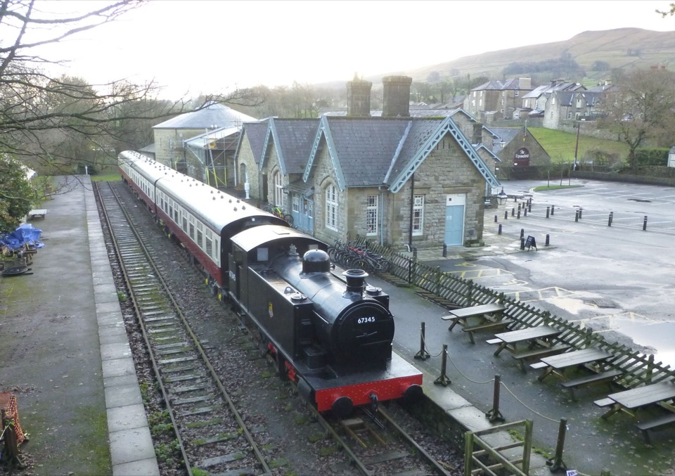 Sight · 5.6 km awayDales Countryside Museum & Hawes National Park CentreA Victorian station turned museum of Dales life, farming and railways
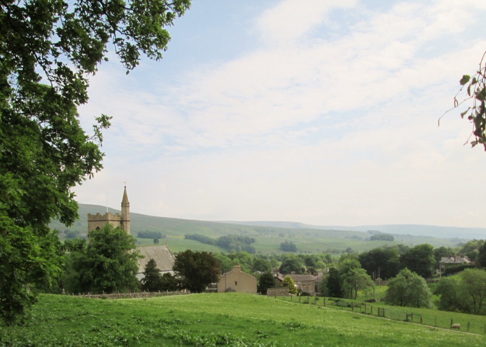 Sight · 5.9 km awayHawesHawes: working Wensleydale market town, cheese and walkers' crossroads
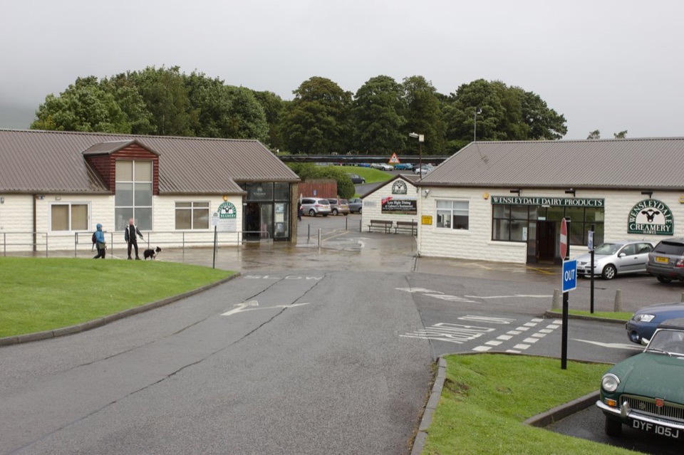 Sight · 6.2 km awayWensleydale Creamery Visitor CentreWatch Wensleydale cheese made by hand, then taste the full range
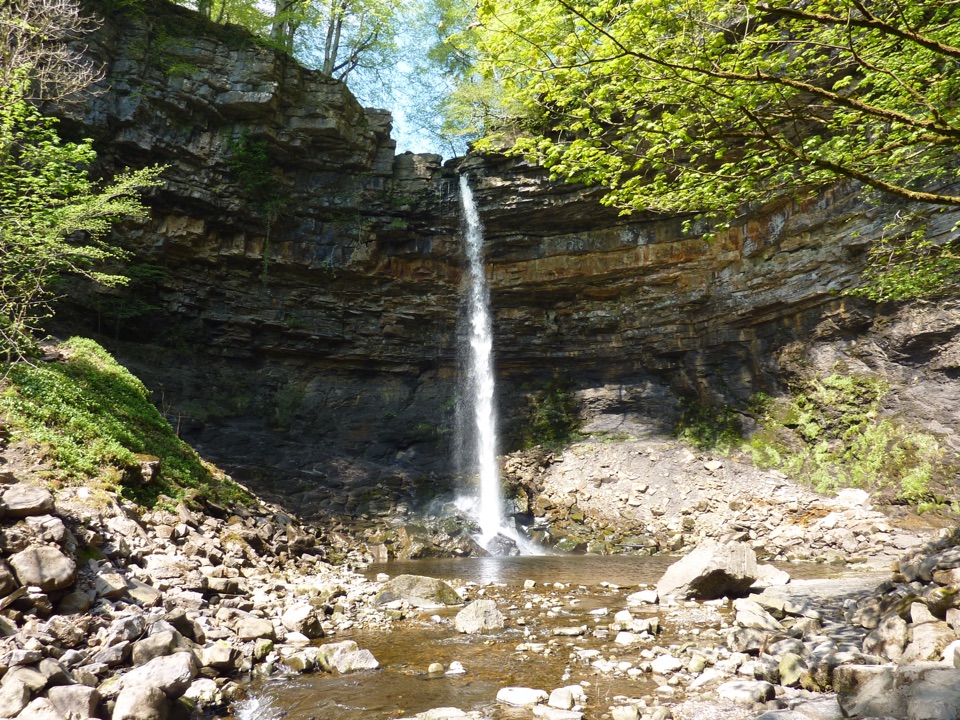 Sight · 6.4 km awayHardraw ForceEngland's highest single-drop waterfall, a ten-minute walk from the gate
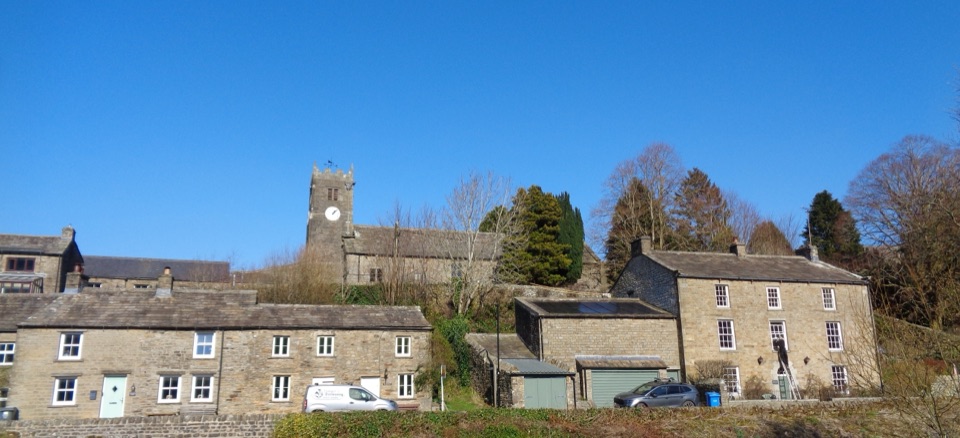 Sight · 8 km awayMukerSlate-roofed cottages, hay meadows and four waterfalls up the dale
Parkwolf’s Yorkshire Dales ranking

The audio tour guide for the drive, plus offline maps, trails, and wildlife heatmaps for when the signal drops.





