Parking
Limited roadside parking at the west end of Hardraw near grid reference SD865912, by the Pennine Way sign. Use legal spaces without blocking the village road.
Yorkshire Dales National Park, EN
Steady Pennine Way climb from Hardraw to an exposed summit shelter
Overview
Map & elevation
Plan your hike

The highest, rockiest slopes around here are a summer buffet for grizzly bears.
Yorkshire Dales Tour Guide
Parkwolf is a GPS audio tour guide for Yorkshire Dales National Park. As you drive, it chimes in with what’s ahead: hidden gems, upcoming stops, history, geology, and wildlife, right through your car’s speakers.
Recorded for this trailhead
Hardraw Force“You're approaching Hardraw, where the short path beside the Green Dragon Inn leads to Hardraw Force. This is a paid visit to a single waterfall dropping about a hundred feet into a wooded limestone amphitheatre.”
Plays as you drive up to this trailhead in the Parkwolf Yorkshire Dales Tour Guide.
More stories near here in the app
“Fantastic app with many points of information… It’s great to just turn on while you’re driving and it gives you an audio tour of the national Park. We love it!!!!”


Trail guide
A 9.2-mile / 15-km out-and-back from Hardraw to the 716 m / 2,349 ft summit of Great Shunner Fell, the third-highest top in the Dales, following the Pennine Way up and then retracing the same line back down. Allow about 5 to 5.7 hours at a walking pace with pauses. Total ascent is roughly 455 to 459 m, spread over a long, easy-angled gradient rather than anything steep or technical. We rate it 6/10: navigation is simple, but the distance, climb and open moorland make it a full day on the hill.
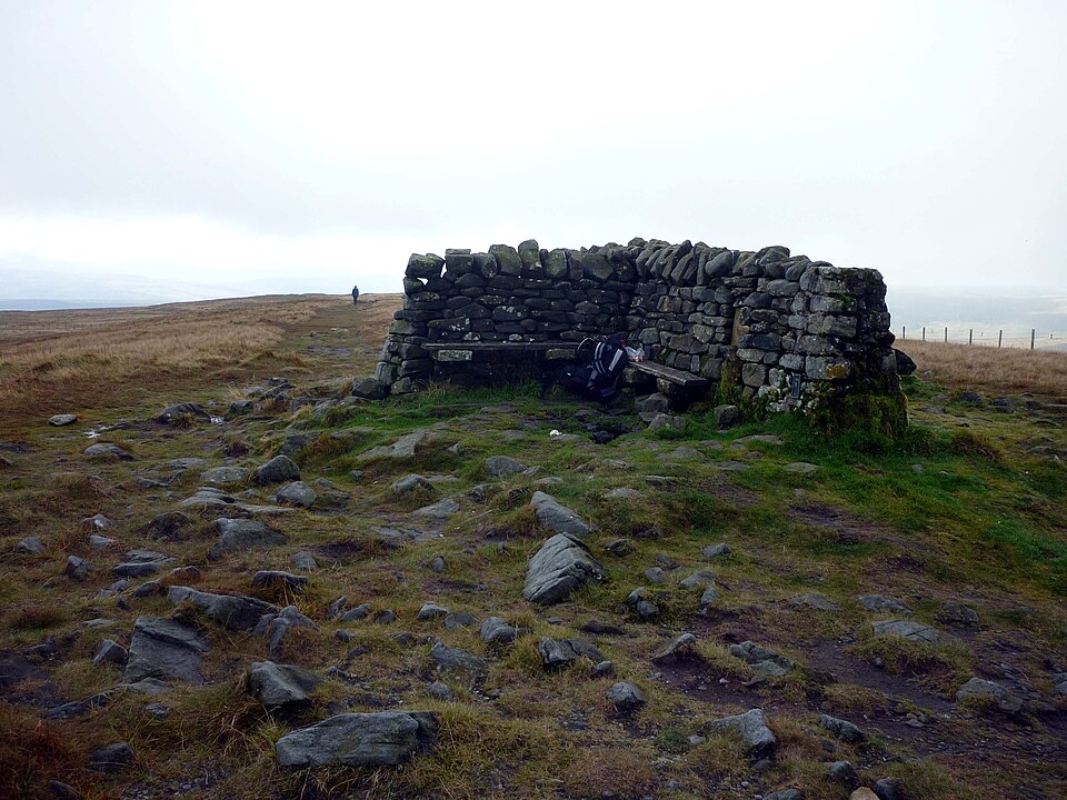
The top is a wide, stony plateau with a cross-shaped summit shelter where you can get out of the wind to eat. On a clear day the view opens out to the North Pennines, the Lake District fells and much of the Yorkshire Dales, including the Three Peaks. The moor near the summit was worked for coal until the 1880s, and the ground still carries traces of that industry.
Expect a good, well-marked path for most of the way, with flagstones on the upper section and wet, peaty or rough ground in places elsewhere. Boots with ankle support and waterproof footwear are the sensible choice. The hill is exposed and remote once you leave the walls behind, with few facilities beyond Hardraw, so carry your own food, water and windproof layers.
The Pennine Way is clearly marked, but the broad summit dome gives little in the way of landmarks, so take a map and compass, know how to use them, and take extra care in poor visibility. Because the route out and back is the same, turning around early is always a straightforward option if conditions or energy do not favour the top.
Dogs are welcome on this public route, but they must be kept under close control, and a lead is sensible and required where the land manager's guidance applies, particularly around livestock and ground-nesting birds on the open fell.
Great Shunner Fell can also be climbed from Swaledale, and stronger walkers sometimes extend the day toward Lovely Seat, but those are longer, separate outings and are not part of this Hardraw out-and-back.
Wildlife
 10 sightingsEurasian OtterMost seen around 7 PMSighting map
 11 sightingsAtlantic SalmonMost seen around 7 AMSighting map
 12 sightingsShort-eared OwlMost seen around 7 PMSighting map
 22 sightingsWestern Barn OwlMost seen around 6 AMSighting map
 27 sightingsTawny OwlMost seen around 7 PMSighting map
 34 sightingsCommon KingfisherMost seen around 7 AMSighting map
Sighting maps show where each species has been reported across Yorkshire Dales. Wildlife moves, so no sighting is guaranteed.
Keep exploring
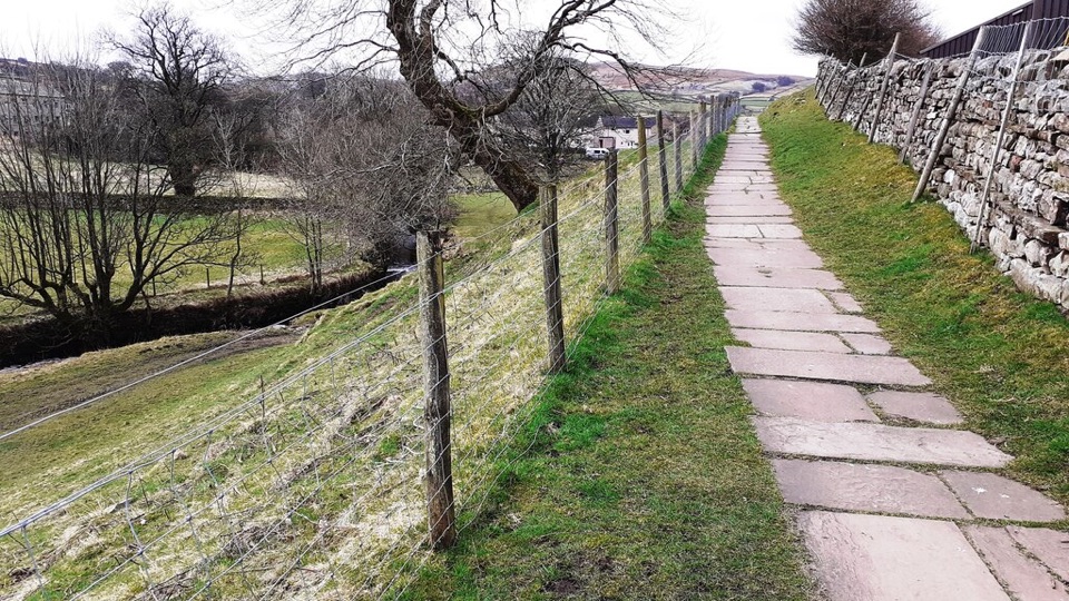 EasyHawes Accessible Walk1.5 km · 45 min · 1.5 km awayCobbled climb, then stone flags along Gayle Beck toward pasture views
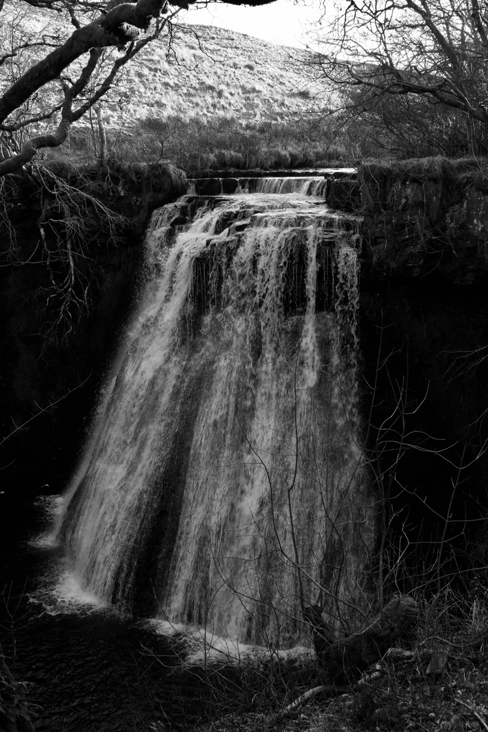 ModerateHawes and Aysgill Force6.4 km · 2.5 hr · 1.6 km awayCobbled lanes and steep steps to a gorge waterfall above GayleModerateHawes Mosaic Walk17.4 km · 4.8 hr · 1.6 km awayHunt 20 wall-set mosaics on a long Upper Wensleydale village loop
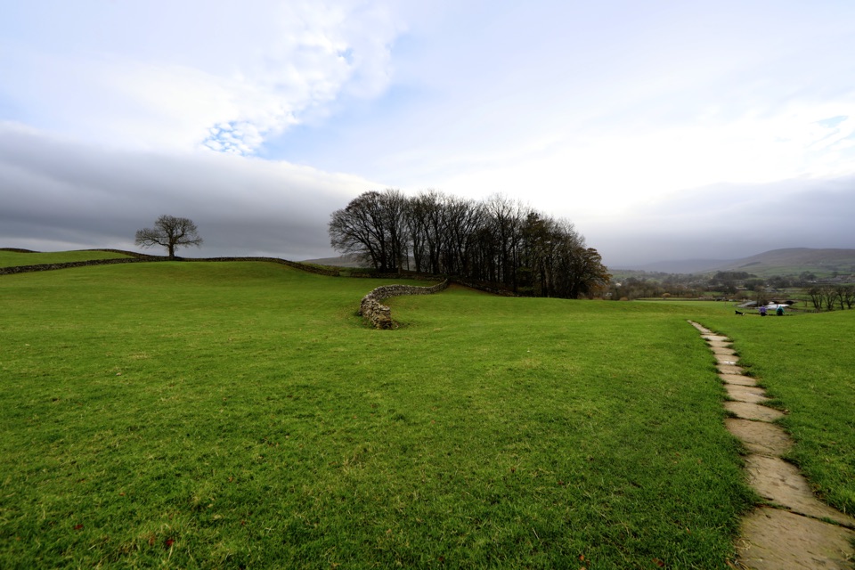 ModerateHawes to Sedbusk Circular5.6 km · 1.8 hr · 1.6 km awayHay meadows, field barns and a packhorse bridge on a short loop
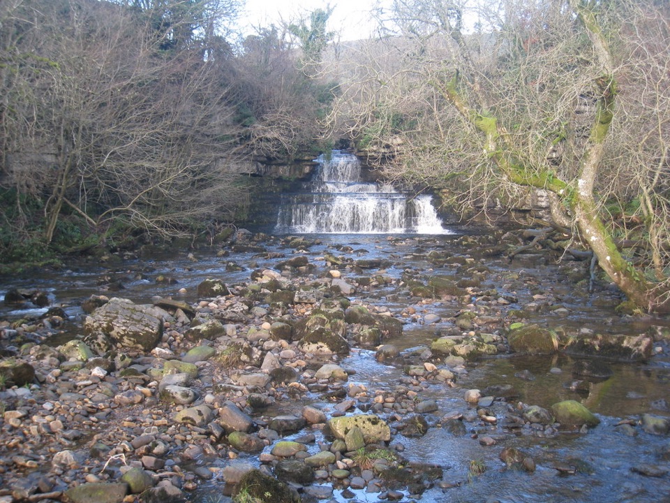 EasyCotter Force Accessible Walk1 km · 30 min · 1.7 km awayHalf a mile of graded gravel to six gentle waterfall cascades
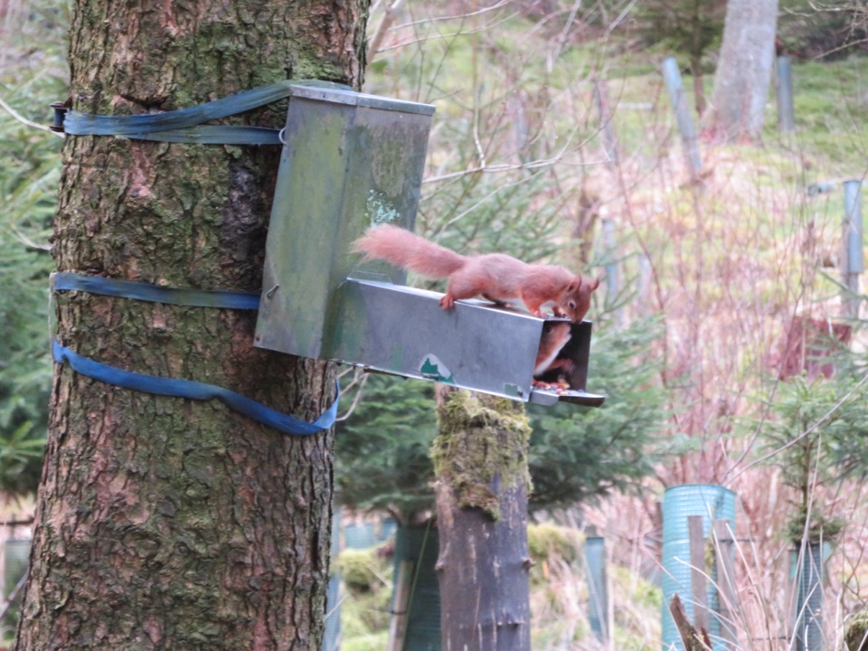 ModerateSnaizeholme Red Squirrel Trail4 km · 2 hr · 5.4 km awaySteep, muddy and worth it for a chance of red squirrels
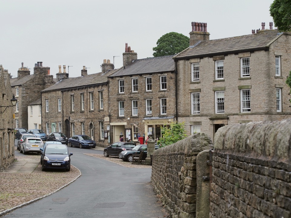 ModerateBainbridge Audio Trail7.2 km · 1.8 hr · 6.6 km awayMills, village greens and old railway on a 4.5-mile audio loop
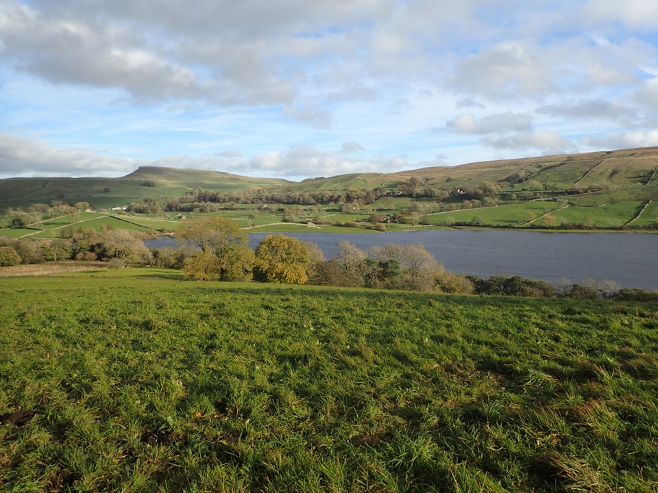 ModerateSemerwater and Raydale Circular11.8 km · 4.5 hr · 6.6 km awayLakeside nature reserve first, then a steep climb to high views
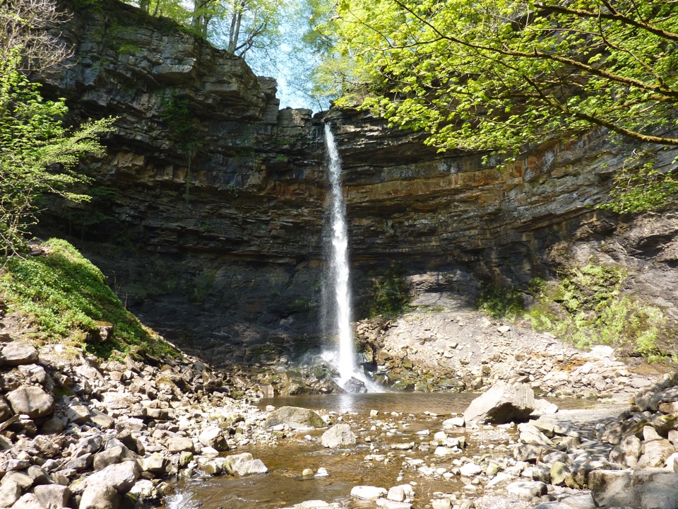 Sight · 0.5 km awayHardraw ForceEngland's highest single-drop waterfall, a ten-minute walk from the gate
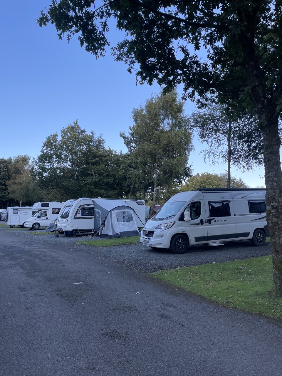 Campground · 1.5 km awayHawes Caravan and Motorhome Club CampsiteMembers-only touring base a ten-minute walk from Hawes market town
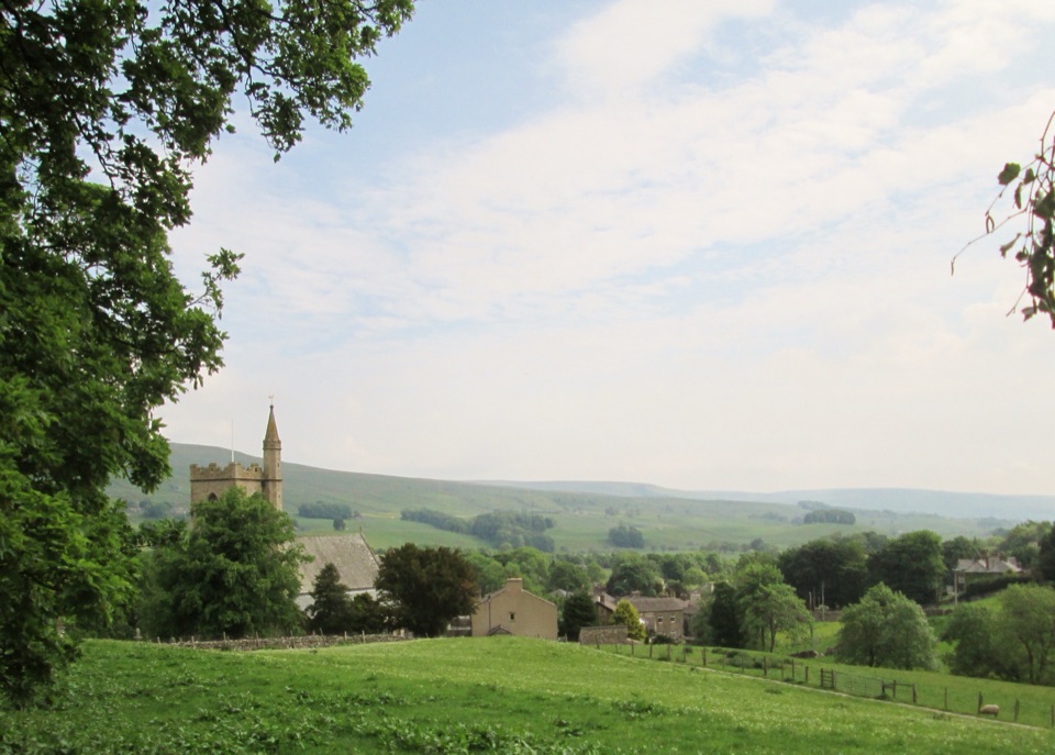 Sight · 1.5 km awayHawesHawes: working Wensleydale market town, cheese and walkers' crossroads
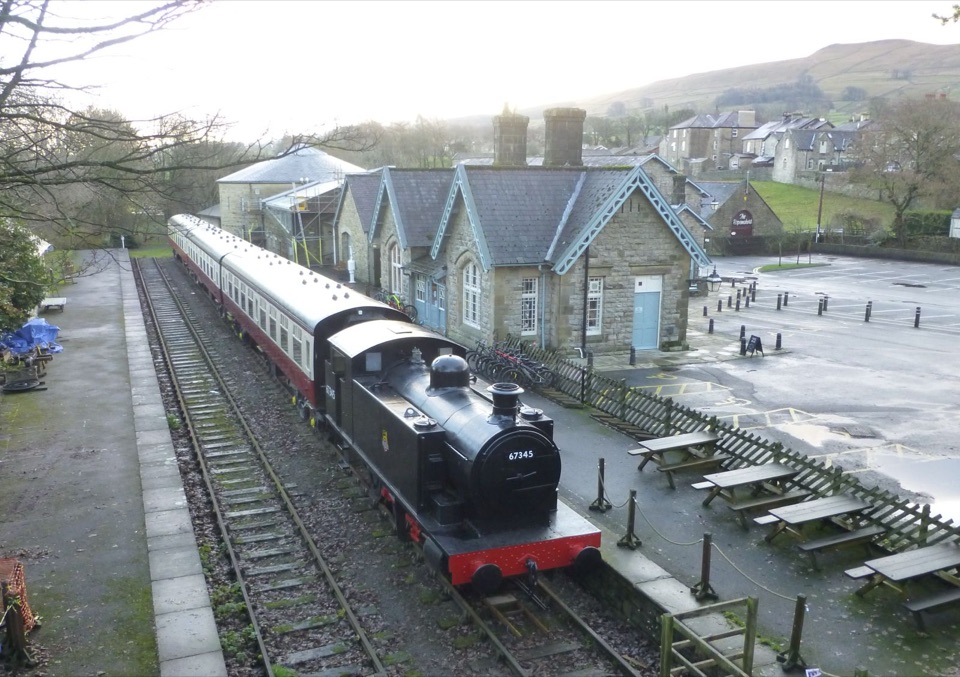 Sight · 1.6 km awayDales Countryside Museum & Hawes National Park CentreA Victorian station turned museum of Dales life, farming and railways
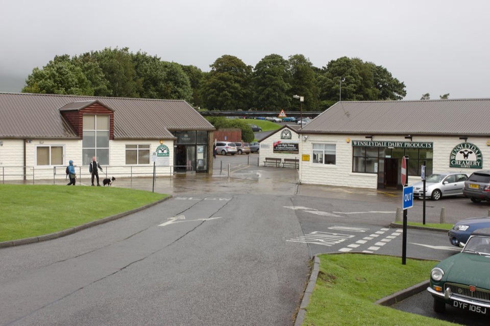 Sight · 1.6 km awayWensleydale Creamery Visitor CentreWatch Wensleydale cheese made by hand, then taste the full rangeSight · 2 km awayCotter ForceA stile-free woodland stroll to six gentle cascades on Cotterdale Beck
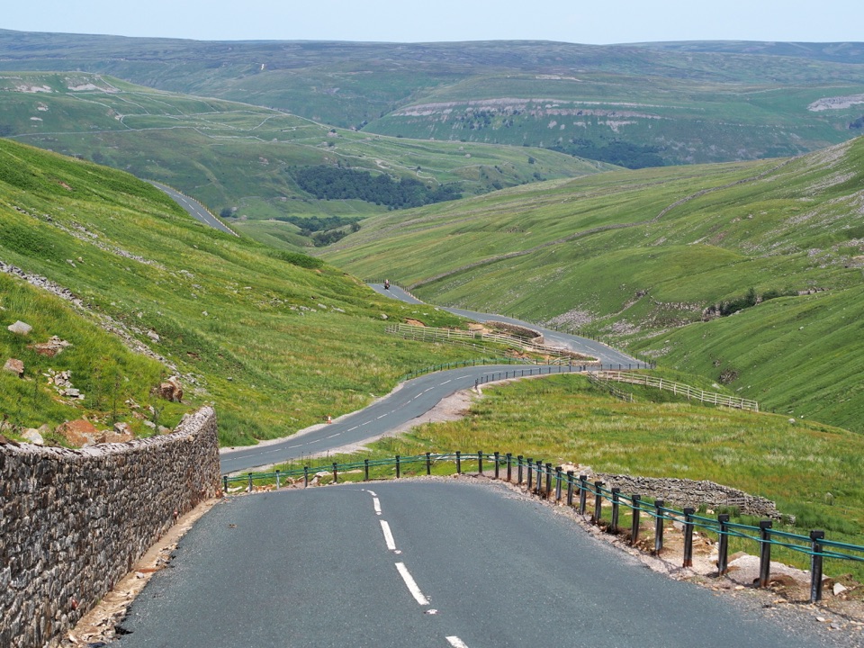 Sight · 4.3 km awayButtertubs PassButtertubs Pass climbs between two dales past deep limestone potholes
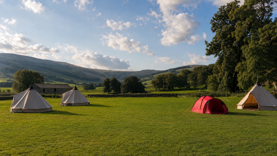 Campground · 6.3 km awayStablefell Holidays and CampsiteTent-only meadow pitches with firepits, no signal, walk to Semerwater
Parkwolf’s Yorkshire Dales ranking

The audio tour guide for the drive, plus offline maps, trails, and wildlife heatmaps for when the signal drops.





