Pen-y-ghent Summit in Yorkshire Dales National Park

Sight · Yorkshire Dales National Park

Pen-y-ghent Summit

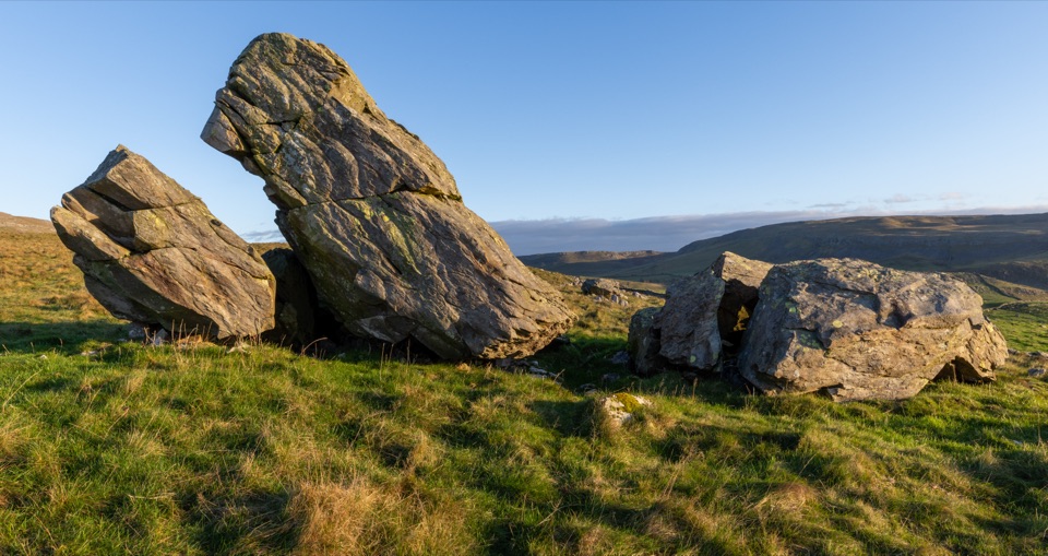
Stepped lion-shaped summit with a rocky scramble and huge Dales views

Photo: Wikimedia Commons
Type
Sight
Nearest trail
2 km
Audio stories
2 nearby

Hear the audio tour

Horton-in-Ribblesdale and Pen-y-ghent

Overview

About Pen-y-ghent Summit

Why stop

  • Panoramic views across the Dales
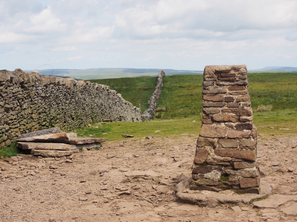
  • Distinctive trig pillar and summit wall

Heads up

  • Exposed to wind and fast-changing cloud
  • Rocky scramble near the summit
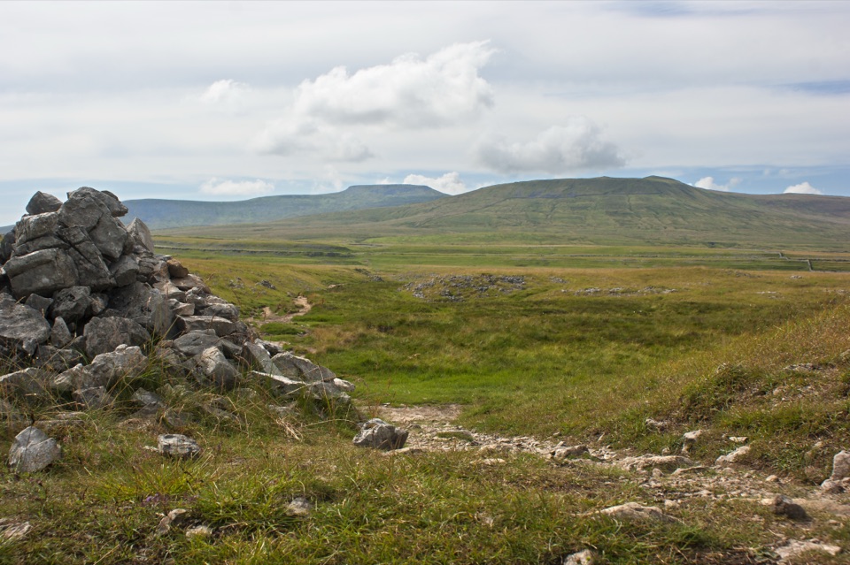
Seen from the valley, the mountain's stepped, domed profile is often likened to a crouching lion or the prow of a ship, the result of a gritstone cap sitting over limestone. That layering is what makes the final approach interesting rather than a plod: the upper south side rears up in rocky steps and pale scars, and the terrain underfoot changes from moorland grass to bare rock in the last stretch.
Parkwolf’s verdictWhy this hill stands out

Map

Where it is

Loading the Yorkshire Dales map
Full map
SightPen-y-ghent Summit54.15590, -2.24895
Keep this map with you offline in the Parkwolf app

Plan your stop

Before you go

Best time to go

Late spring through early autumn gives the longest daylight and the best chance of the far views; winter brings ice on the rock steps and short days. Early starts are consistently quieter, and mid-week beats the weekend. The summit sits in the wind almost whatever the forecast says in the valley, and cloud can swallow the view within minutes, so pick a clear, settled day if the panorama matters to you. Light is kindest early and late, when the stepped profile and the limestone scars throw shadows.


Getting there

  • Navigation starts in Horton-in-Ribblesdale, where the official circular route is 10 km / 6 miles.
  • The standard line climbs gently up Brackenbottom Scar, then joins the Pennine Way to the summit.
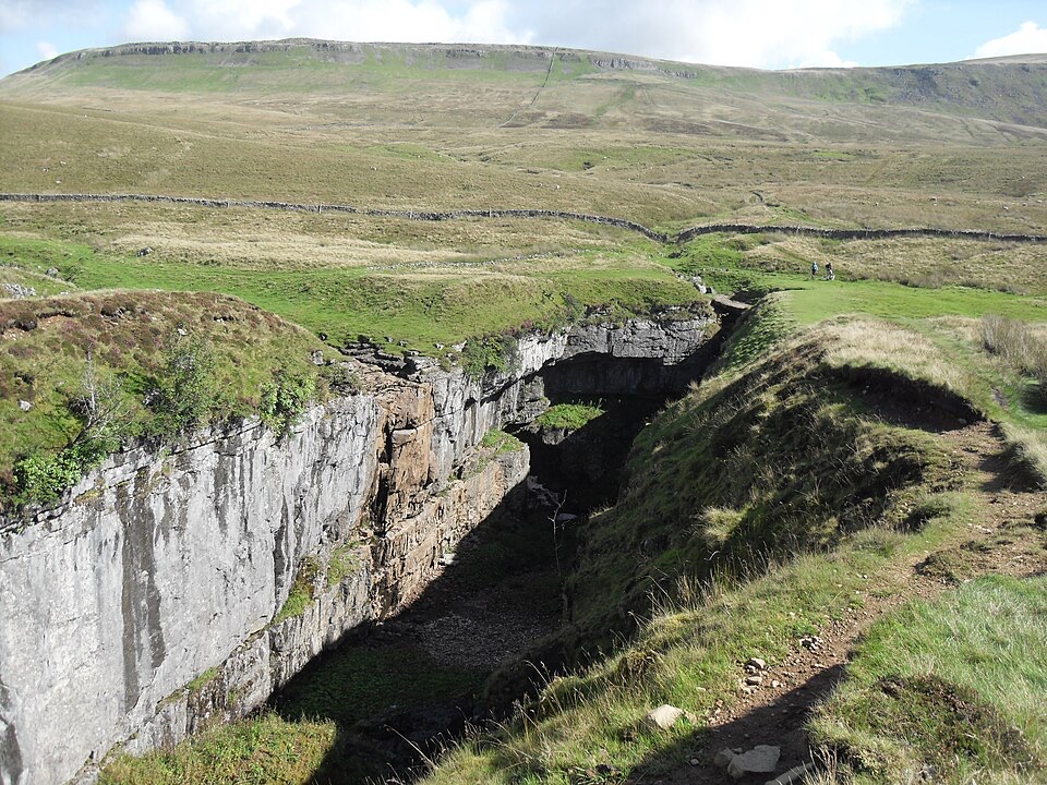
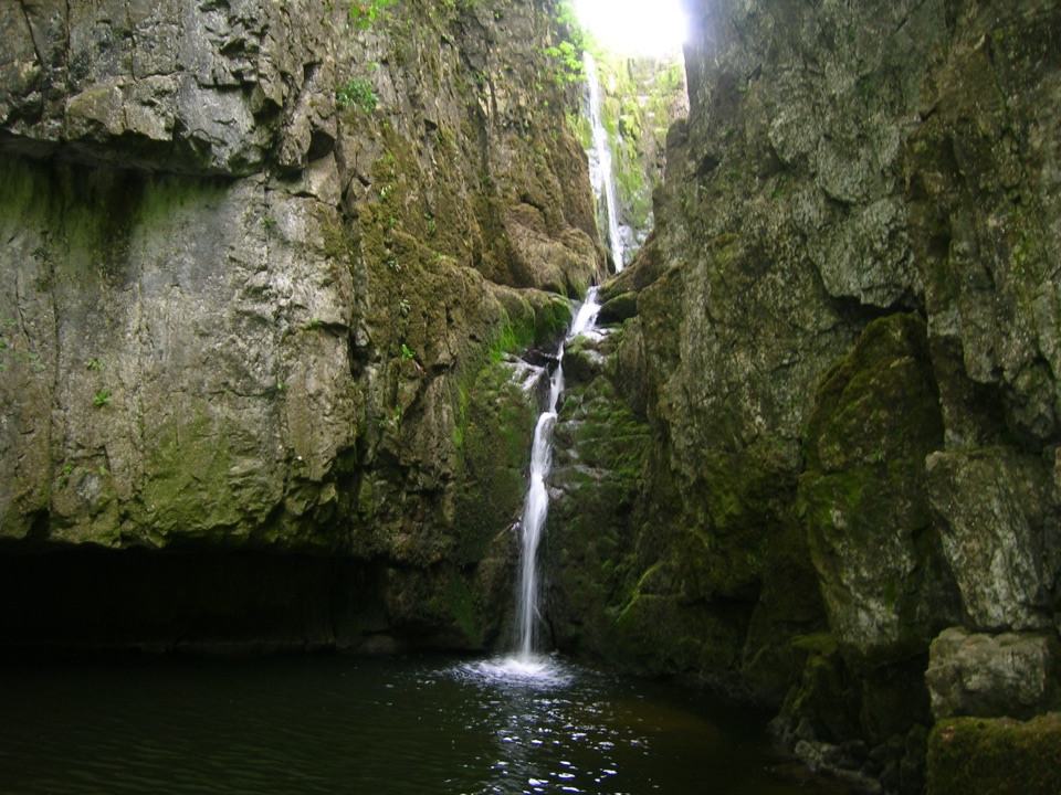
  • Coming down the other side of the loop passes near Hunt Pot and Hull Pot, the latter often described as England's largest hole, a worthwhile short detour.
  • Other approaches exist, including from Helwith Bridge, Silverdale on the Pennine Way, and Foxup.
  • Horton car park has toilets, the railway station on the Settle to Carlisle line is close to the start, and there are pubs in Horton for afterwards.

1 active Yorkshire Dales alert

  • ClosureTemporary closures on public rights of wayAvoid the listed sections of public rights of way while their temporary closures or pedestrian prohibition are in force. - Public Bridleway No. 52 (05.Official details
Yorkshire Dales alerts
A park ranger sits on a dash-mounted phone, talking, as Parkwolf’s Tour Guide plays “Army Cutworm Moths: A Grizzly Bear Buffet” on Grand Loop Road below Dunraven Pass in Yellowstone
Parkwolf Tour GuideThe highest, rockiest slopes around here are a summer buffet for grizzly bears.

Yorkshire Dales Tour Guide

Your drive to Pen-y-ghent Summit, narrated.

Parkwolf is a GPS audio tour guide for Yorkshire Dales National Park. As you drive, it chimes in with what’s ahead: hidden gems, upcoming stops, history, geology, and wildlife, right through your car’s speakers.

Recorded for this place

Horton-in-Ribblesdale and Pen-y-ghent
0:00 / 0:38
“Up ahead is Horton-in-Ribblesdale, the traditional starting point for the Yorkshire Three Peaks.”

Plays as you drive up to Pen-y-ghent Summit in the Parkwolf Yorkshire Dales Tour Guide.

More stories near here in the app

  • Fountains Fell Trail
  • The Flash of a Wheatear
  • The Zigzags at St Oswald's
  • When Hull Pot Becomes a Waterfall
  • 298 audio storiesacross Yorkshire Dales’s roads, triggered by GPS as you drive
  • Wildlife heatmapsfor Eurasian Otter, Atlantic Salmon, Short-eared Owl, and 13 more
  • Works offlinemaps, 99 trails, 63 places, and audio download before you lose signal
  • CarPlay readysimple controls built for the drive
★★★★★
“Fantastic app with many points of information… It’s great to just turn on while you’re driving and it gives you an audio tour of the national Park. We love it!!!!”
JMJamesApp Store review
Download Parkwolf on the App StoreGet Parkwolf on Google Play

4.7 from 8,600+ ratings

Guide

More about Pen-y-ghent Summit

What you get at the topThe summit of Pen-y-ghent is a broad, grassy and stony crest with a triangulation pillar beside…

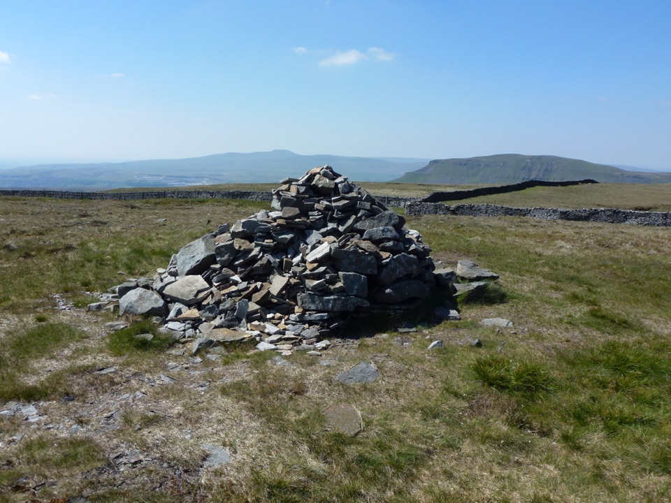
The summit of Pen-y-ghent is a broad, grassy and stony crest with a triangulation pillar beside a dry-stone wall that runs along the ridge, giving a natural windbreak and the classic photo spot. At 694 m (2,277 ft) it is the smallest of the Yorkshire Three Peaks, but the payoff is a genuinely wide panorama: Ingleborough and Whernside across the valley, Fountains Fell close by, Simon Fell above Moughton Scars, and on clear days Pendle Hill and the glint of Morecambe Bay. The ridge is also a watershed, splitting streams that run east to the North Sea from those heading west to the Irish Sea.

The honest drawbacksThis is a mountain walk to a summit, not a drive-up viewpoint, and there is nothing at the top…

This is a mountain walk to a summit, not a drive-up viewpoint, and there is nothing at the top itself. The upper section on the Brackenbottom side includes a short steep rocky scramble where you will use your hands. Many walkers find it easier than it looks, but people with vertigo, unsteady knees or a fear of exposure regularly say they wish they had known first. Walking the loop in the other direction from Horton keeps you on paths for the ascent and avoids the worst of the rock, though it is still a steep, rough hill route rather than an easy or accessible walk. The path is popular, so weekends and busy Three Peaks days can feel crowded on the narrow rocky sections.

Practical preparationBoots with grip, plus a windproof and waterproof layer even on warm days.
  • Boots with grip, plus a windproof and waterproof layer even on warm days.
  • Carry your own food and water; expect it to be noticeably colder and windier at the top than at the trailhead.
  • Take a map and the means to navigate, since mist on the ridge makes route-finding harder than the good lower paths suggest.
  • Follow the Countryside Code: gates, walls and grazing land are working farmland, and dogs need close control.
  • Upland birds may be seen and heard on the moorland crossing, and the limestone ground carries its own specialist flowers, though neither is guaranteed on any given day.

Wildlife

Wildlife in Yorkshire Dales

All Yorkshire Dales wildlife maps

Sighting maps show where each species has been reported across Yorkshire Dales. Wildlife moves, so no sighting is guaranteed.

Parkwolf’s Yorkshire Dales ranking

Top sights in Yorkshire Dales

All 63 places
  1. 1Malham CoveSight
  2. 2Aysgarth FallsSight
  3. 3Ribblehead ViaductSight
  4. 4Gordale ScarSight
  5. 5Bolton CastleSight
  6. 6Janet's FossSight

Take Parkwolf to Yorkshire Dales.

The audio tour guide for the drive, plus offline maps, trails, and wildlife heatmaps for when the signal drops.

4.7 from 8,600+ ratings

Download Parkwolf on the App StoreGet Parkwolf on Google Play