Parking
Use the train to Horton-in-Ribblesdale and finish at Settle station. If driving, leave the car in Settle and travel up the line. Public parking is available around Settle.
Yorkshire Dales National Park, EN
Ribble-side valley walk from Horton station down to Settle station
Overview
A point-to-point linear walk, not a loop: start at Horton-in-Ribblesdale station, finish at Settle station, roughly 8 miles (12.8 km) one way with only about 150 m of climbing. Allow 3.5 to 4.5 hours at a steady pace, plus time for stops.
Map & elevation
Plan your hike

The highest, rockiest slopes around here are a summer buffet for grizzly bears.
Yorkshire Dales Tour Guide
Parkwolf is a GPS audio tour guide for Yorkshire Dales National Park. As you drive, it chimes in with what’s ahead: hidden gems, upcoming stops, history, geology, and wildlife, right through your car’s speakers.
Recorded for this trailhead
Horton-in-Ribblesdale and Pen-y-ghent“Up ahead is Horton-in-Ribblesdale, the traditional starting point for the Yorkshire Three Peaks.”
Plays as you drive up to this trailhead in the Parkwolf Yorkshire Dales Tour Guide.
More stories near here in the app
“Fantastic app with many points of information… It’s great to just turn on while you’re driving and it gives you an audio tour of the national Park. We love it!!!!”


Trail guide
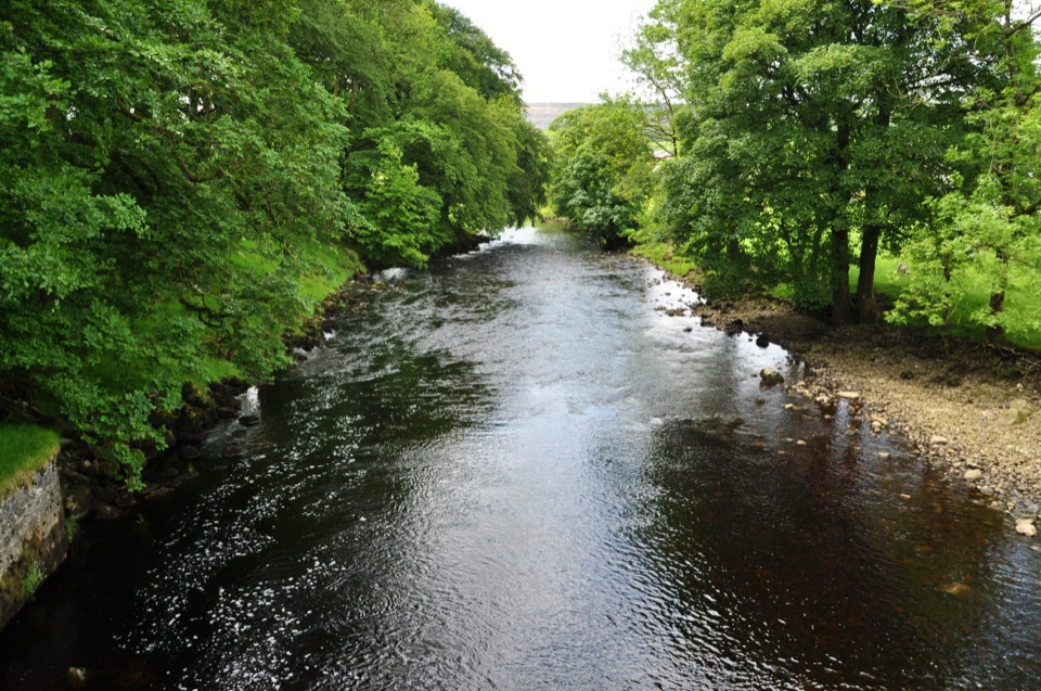
The payoff is steady, unshowy dales scenery: river pools and bends, wide views across Ribblesdale, limestone pastures cut by dry-stone walls, and the working Settle-Carlisle railway alongside you for much of the way.
Mostly low-level valley walking, and relatively easy in gradient terms, but the surfaces vary a lot: riverside paths, grass fields, farm tracks, gates and stiles, and short sections of road. A few stretches rise onto higher limestone pastures. Field paths can be wet, muddy or uneven, so boots and a willingness to squelch are worth having. Navigation is straightforward if you stay with the Ribble Way corridor, though field crossings need a little attention.
This one needs planning before you set off, because the walk ends miles from where it starts. The usual approach is to travel to Horton by train and walk back to Settle, or to leave a car at Settle and take the train up the line. Sort your return or onward travel first, then start walking. Toilets and refreshments are available in Horton and Settle, and nothing in between, so carry water and food for the middle section.
Dogs are welcome on these public rights of way while kept under control. Expect sheep and cattle in the fields and lanes, so keep dogs on a lead around livestock and give stock a wide berth. Follow seasonal guidance for ground-nesting birds on the more open pasture sections.
If your appetite is for a summit day rather than a valley crossing, the Pen-y-ghent circuit from Horton is a significantly steeper and higher alternative. It is a separate walk with separate demands, so choose one or the other rather than trying to combine them.
Wildlife
 10 sightingsEurasian OtterMost seen around 7 PMSighting map
 11 sightingsAtlantic SalmonMost seen around 7 AMSighting map
 12 sightingsShort-eared OwlMost seen around 7 PMSighting map
 22 sightingsWestern Barn OwlMost seen around 6 AMSighting map
 27 sightingsTawny OwlMost seen around 7 PMSighting map
 34 sightingsCommon KingfisherMost seen around 7 AMSighting map
Sighting maps show where each species has been reported across Yorkshire Dales. Wildlife moves, so no sighting is guaranteed.
Keep exploring
 ChallengingYorkshire Three Peaks Circular38.6 km · 12 hr · At the trailheadThree fell summits, 24 miles and 5,000 feet in one long day
 ModeratePen-y-ghent Circular9.7 km · 3.8 hr · 0.4 km awaySteep wall-side climb to a flat-topped summit, then a walled lane home
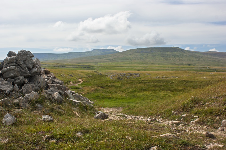 ModerateSulber Nick Accessible Walk6 km · 2.3 hr · 2.5 km awayStile-free limestone track to Sulber Gate with views over Crummack Dale
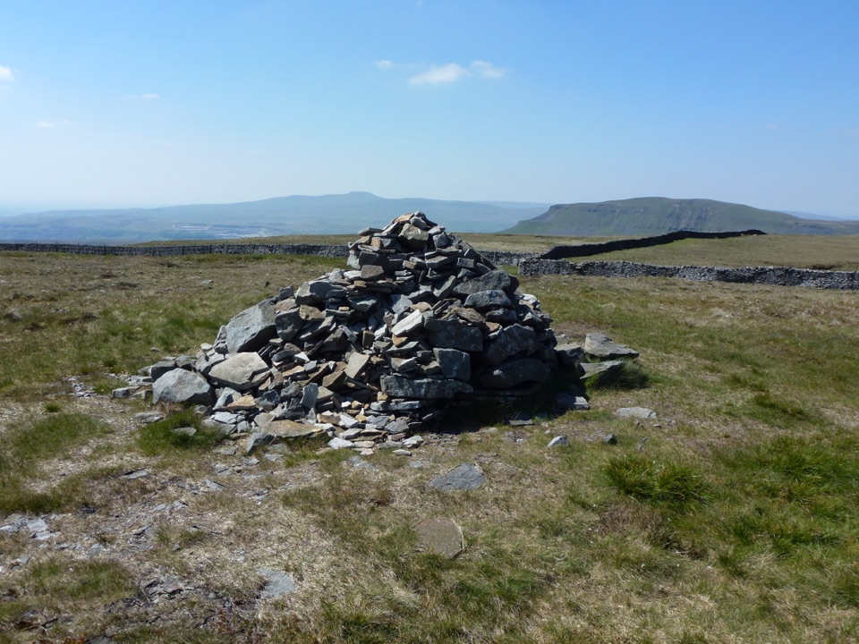 ModerateFountains Fell Trail7.9 km · 3 hr · 4.2 km awayQuiet 668m moorland circuit with cairns, old coal pits and wide views
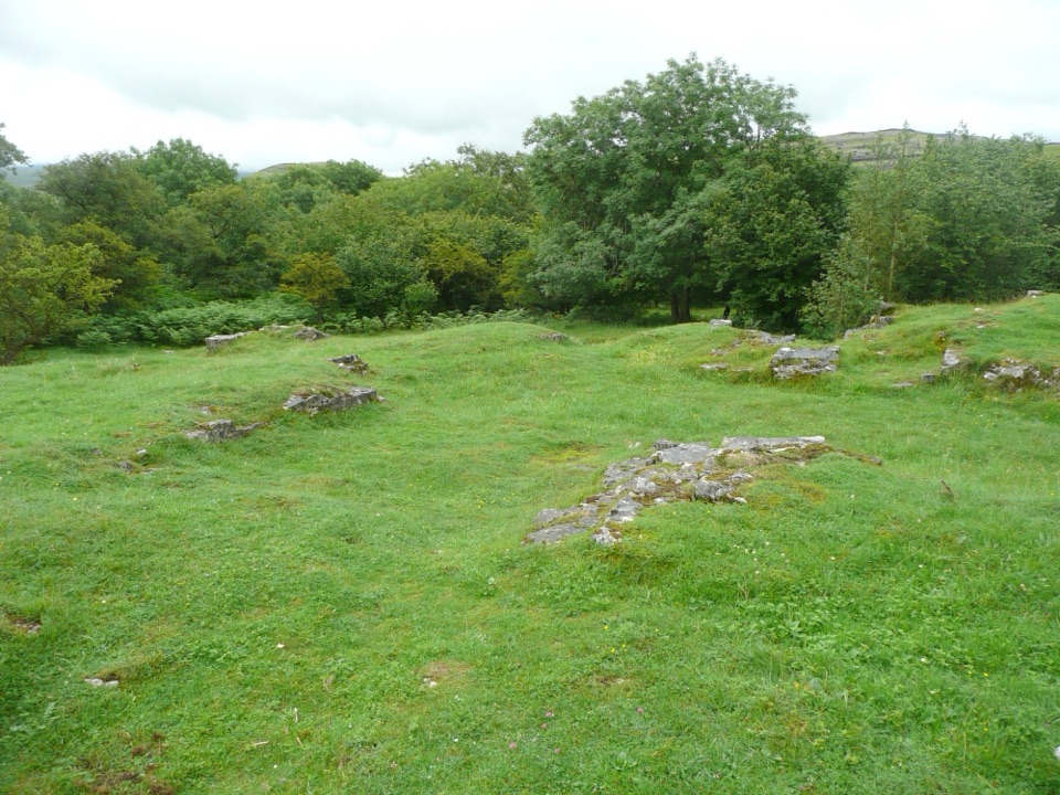 EasyWharfe Wood Trail1.6 km · 30 min · 4.4 km awayShort limestone woodland walk with spring bluebells and open Dales views
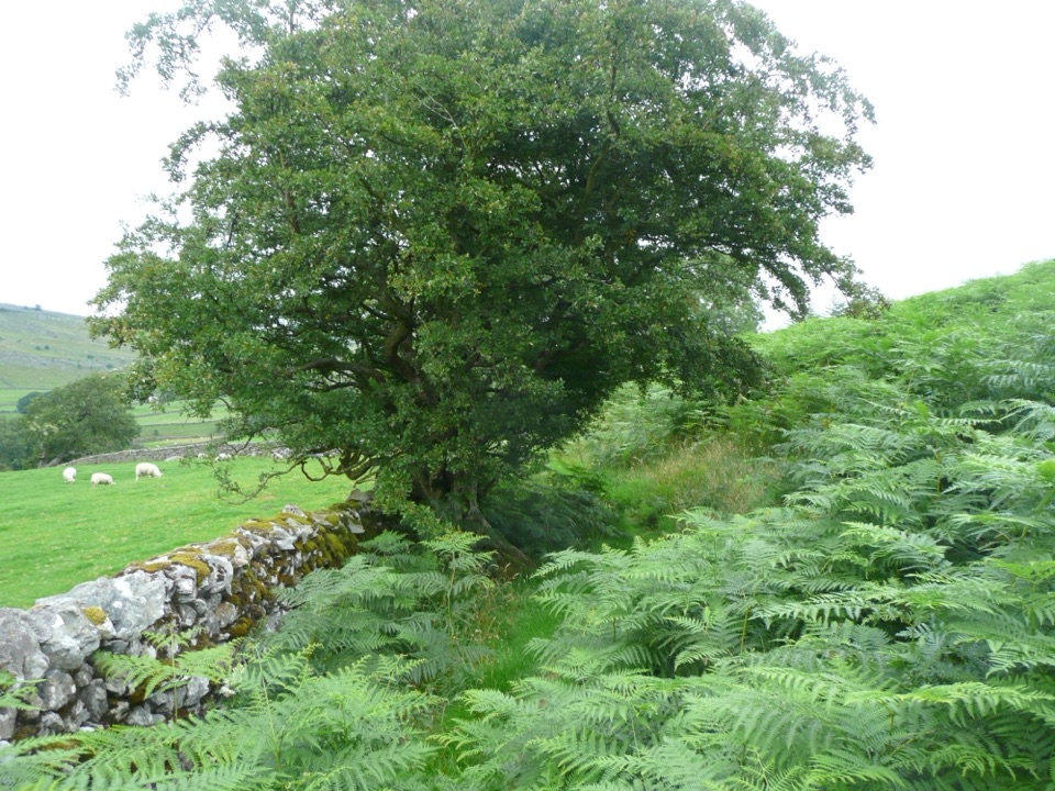 EasyOxenber Wood Trail1.1 km · 30 min · 4.6 km awayBluebell woods and old quarry ground on a half-mile point-to-point
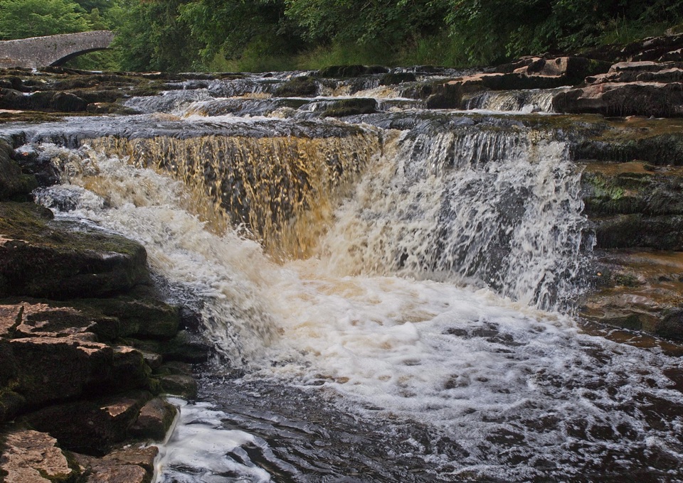 ModerateStainforth Audio Trail6.8 km · 1.8 hr · 5.5 km awayLimestone falls, riverside path and a stone village on an easy loop
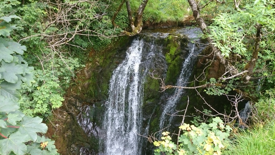 ModerateStainforth and Catrigg Force4.5 km · 1.5 hr · 5.6 km awayLimestone stairway climb to a quiet wooded waterfall above Ribblesdale
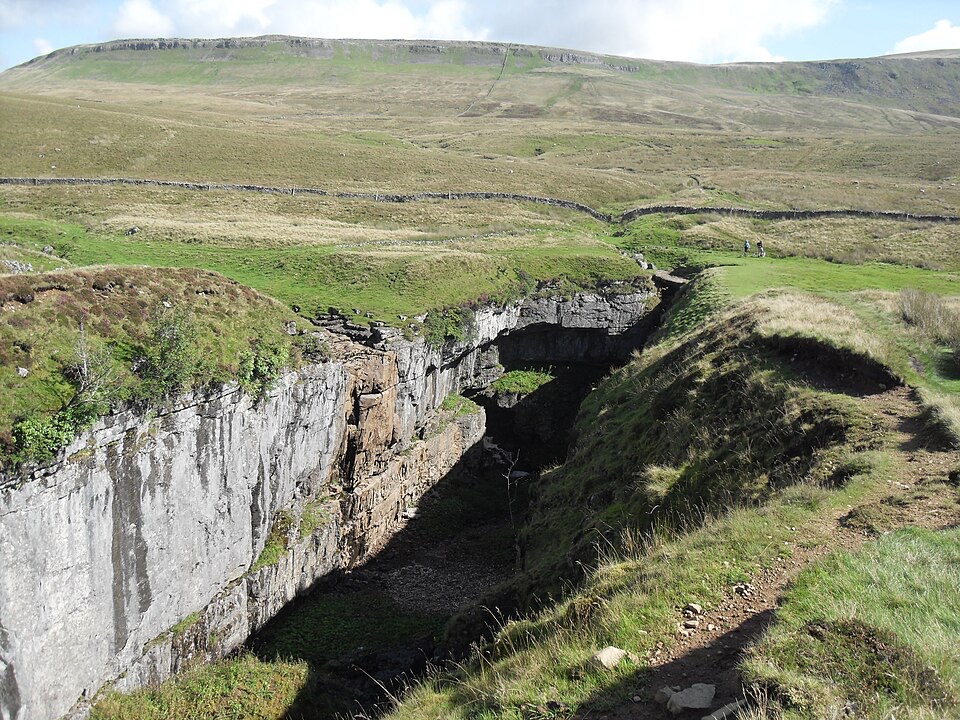 Sight · 2.8 km awayHull PotWalk in to a deep limestone chasm where a cavern collapsed
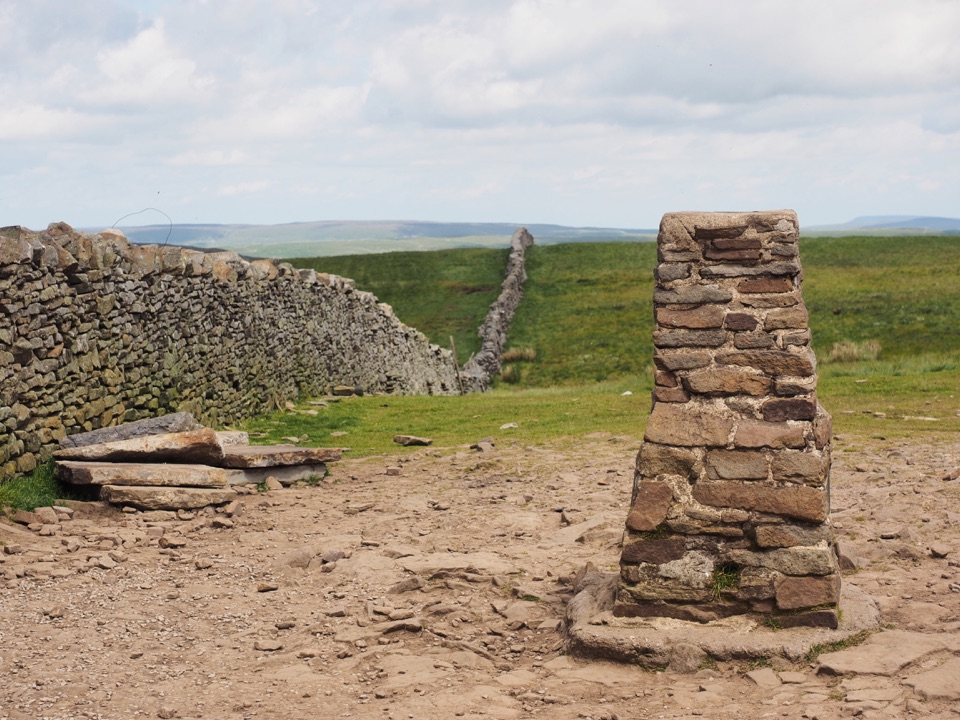 Sight · 3.5 km awayPen-y-ghent SummitStepped lion-shaped summit with a rocky scramble and huge Dales views
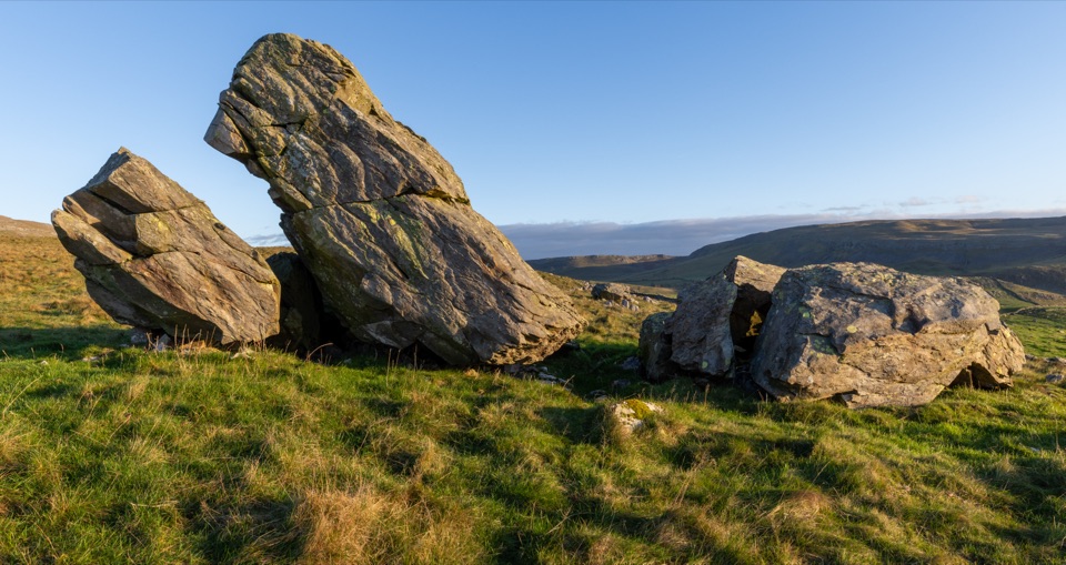 Sight · 4.5 km awayNorber ErraticsIce age boulders perched on pale limestone above a quiet dale
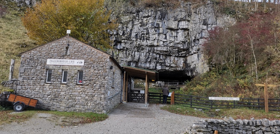 Sight · 5.2 km awayIngleborough CaveA wooded mile in, then half a kilometre of floodlit stalactites
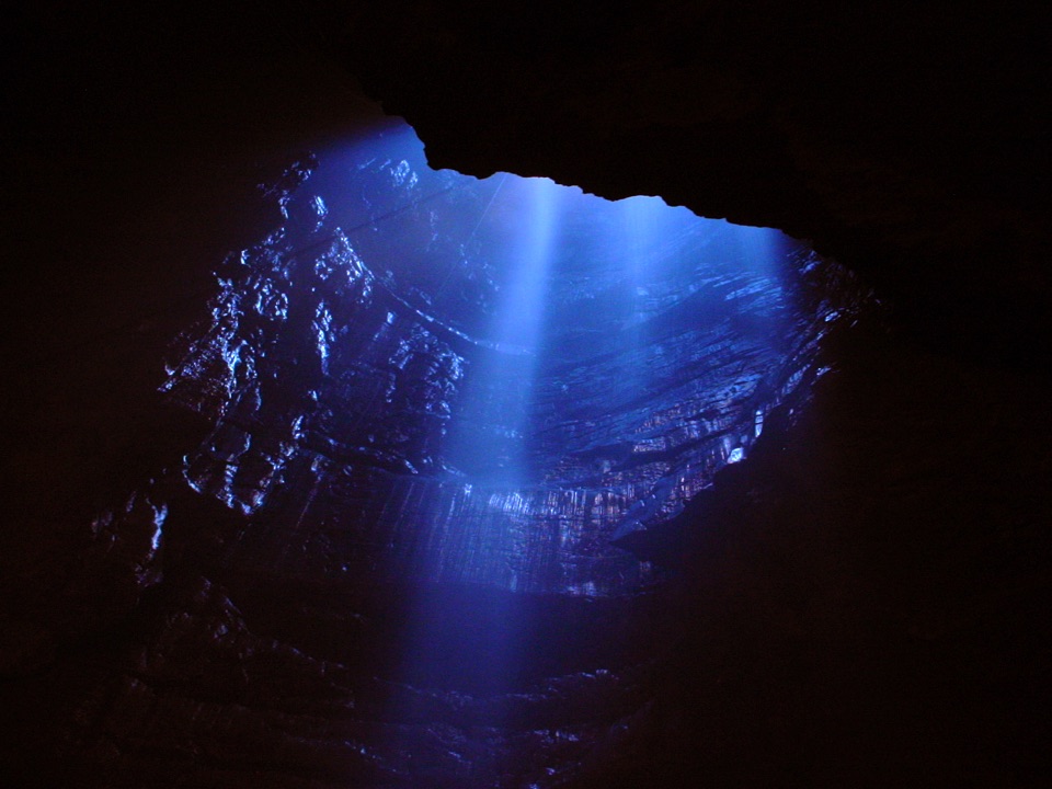 Sight · 5.2 km awayGaping GillA moorland beck vanishes 100m down into a vast hidden chamber
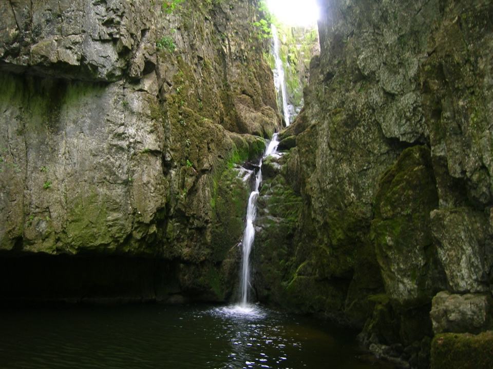 Sight · 6.2 km awayCatrigg ForceMulti-drop cascade hidden in a mossy limestone gorge above Stainforth
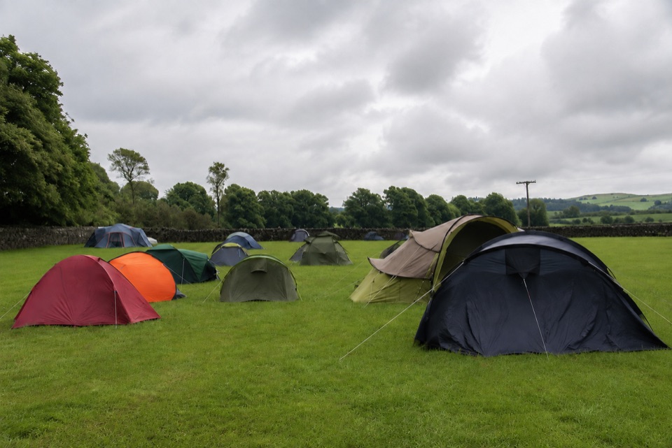 Campground · 6.5 km awayThe Dalesbridge Campsite and CabinsTen-acre camping base for the Three Peaks, with bar and pizza
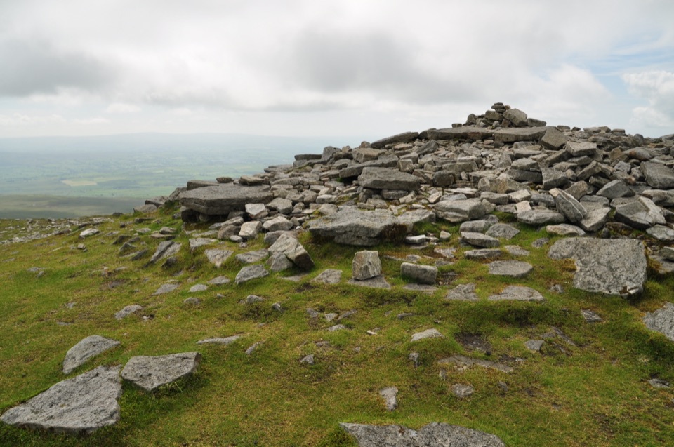 Sight · 6.5 km awayIngleborough SummitIngleborough Summit: flat gritstone plateau with an ancient hill fort
Parkwolf’s Yorkshire Dales ranking

The audio tour guide for the drive, plus offline maps, trails, and wildlife heatmaps for when the signal drops.



