Parking
Use the small grass-verge space beyond the cattle grid near SD 843715 on the narrow road from Stainforth and Goat Lane. Park considerately and leave the road clear; there is no formal car park or facility at the start.
Yorkshire Dales National Park, EN
Quiet 668m moorland circuit with cairns, old coal pits and wide views
Overview
Map & elevation
Plan your hike

The highest, rockiest slopes around here are a summer buffet for grizzly bears.
Yorkshire Dales Tour Guide
Parkwolf is a GPS audio tour guide for Yorkshire Dales National Park. As you drive, it chimes in with what’s ahead: hidden gems, upcoming stops, history, geology, and wildlife, right through your car’s speakers.
Recorded for this trailhead
Fountains Fell Trail“You're approaching the roadside start for Fountains Fell, a quiet moorland circuit with views of Pen-y-ghent and Ingleborough on a clear day.”
Plays as you drive up to this trailhead in the Parkwolf Yorkshire Dales Tour Guide.
More stories near here in the app
“Fantastic app with many points of information… It’s great to just turn on while you’re driving and it gives you an audio tour of the national Park. We love it!!!!”


Trail guide
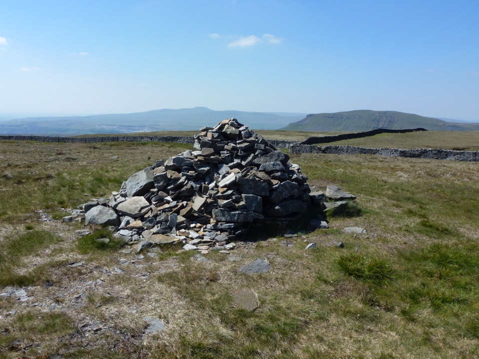
A closed circular loop of 4.9 miles, starting and finishing at the roadside verge beyond the cattle grid near SD 843715 on the Stainforth to Halton Gill road. You walk about three quarters of a mile along the road first, then join the Pennine Way near SD 853723 and climb past a sharp bend and stile to a tall conical cairn. From there it continues to a second cairn and the 668 m summit area, drops beside a wall past a ruined building and a shooting hut, and returns on a broad grassy track to the start. Around 3 hours, with roughly 270 m of ascent and the same descent.
Open high moorland, long views across to Pen-y-ghent and Ingleborough in clear weather, summit cairns, and the scattered remains of old coal working. The main appeal is quiet: this is a fell people pass near rather than climb, so you can have the top largely to yourself.
About 6 out of 10, and a genuine mountain walk. The Pennine Way approach is clear and steady underfoot. The summit area and the return are the harder half: rough open moorland, boggy patches after wet spells, uneven ground and an awkward descent where the line is not obvious. Deep tussocks hide ankle-turning holes, so slow down rather than stride out. Nothing shelters you up there, so wind, cloud and rain all arrive at full strength, and you should be comfortable navigating without a path.
The summit area holds several old coal shafts. Some are fenced, some are not. Keep to the clear paths, resist the urge to explore the pits, and be especially careful in mist or when snow can bridge a hole. This hazard is permanent, not seasonal.
Only a small grass verge space beyond the cattle grid near SD 843715, reached by the narrow road from Stainforth and Goat Lane. There is no formal car park and no facilities, so park considerately and leave the road clear. The fell is public access land and the walk uses the Pennine Way plus an off-path rough return section, so expect little signage once you leave the national trail.
Dogs are fine under normal public rights of way rules and kept under close control. There is grazing livestock and ground-nesting birds on the moor, so lead work is the sensible default.
Pen-y-ghent nearby is the better known Three Peaks option, busier and much better waymarked. Fountains Fell is the quieter choice, but rougher underfoot and vaguer away from the Pennine Way, which suits walkers who already navigate confidently.
Wildlife
 10 sightingsEurasian OtterMost seen around 7 PMSighting map
 11 sightingsAtlantic SalmonMost seen around 7 AMSighting map
 12 sightingsShort-eared OwlMost seen around 7 PMSighting map
 22 sightingsWestern Barn OwlMost seen around 6 AMSighting map
 27 sightingsTawny OwlMost seen around 7 PMSighting map
 34 sightingsCommon KingfisherMost seen around 7 AMSighting map
Sighting maps show where each species has been reported across Yorkshire Dales. Wildlife moves, so no sighting is guaranteed.
Keep exploring
 ModeratePen-y-ghent Circular9.7 km · 3.8 hr · 3.7 km awaySteep wall-side climb to a flat-topped summit, then a walled lane home
 ChallengingYorkshire Three Peaks Circular38.6 km · 12 hr · 4.1 km awayThree fell summits, 24 miles and 5,000 feet in one long day
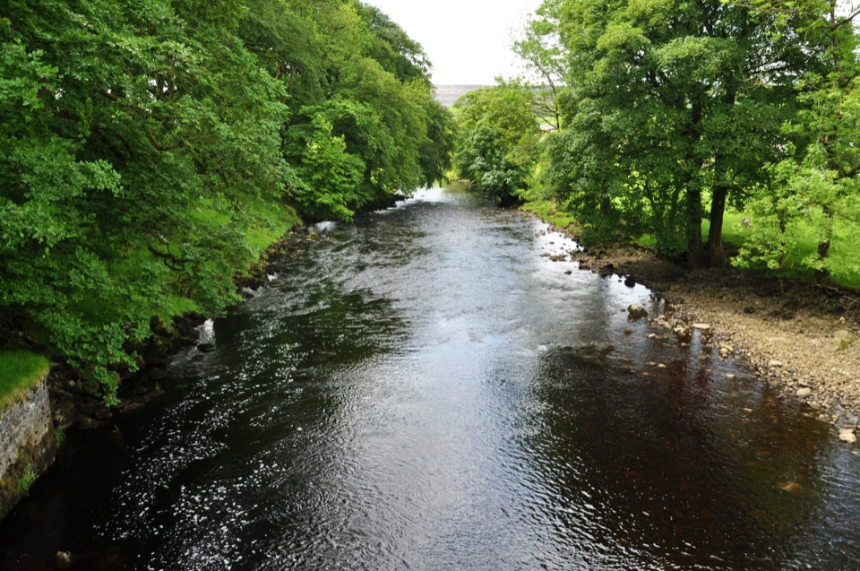 ModerateHorton-in-Ribblesdale to Settle Walk12.9 km · 3.8 hr · 4.2 km awayRibble-side valley walk from Horton station down to Settle station
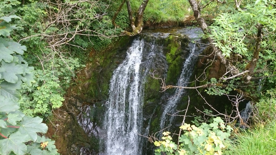 ModerateStainforth and Catrigg Force4.5 km · 1.5 hr · 4.8 km awayLimestone stairway climb to a quiet wooded waterfall above Ribblesdale
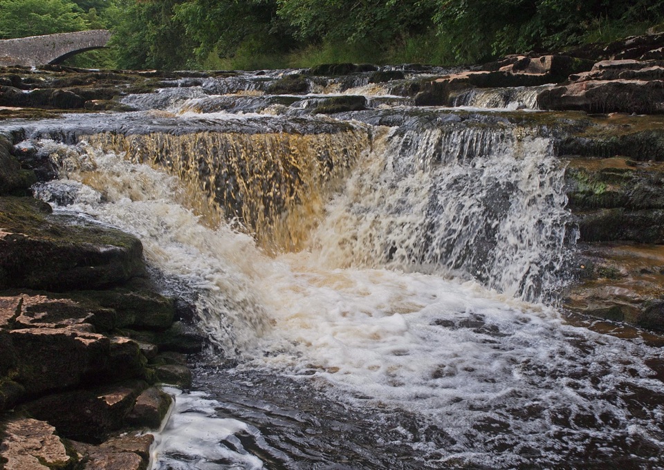 ModerateStainforth Audio Trail6.8 km · 1.8 hr · 4.8 km awayLimestone falls, riverside path and a stone village on an easy loop
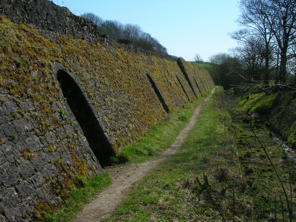 EasyCraven Lime Works Trail – Northern Loop0.7 km · 45 min · 5.6 km awayShort loop past an 1873 Hoffmann kiln, quarry cuts and woodland
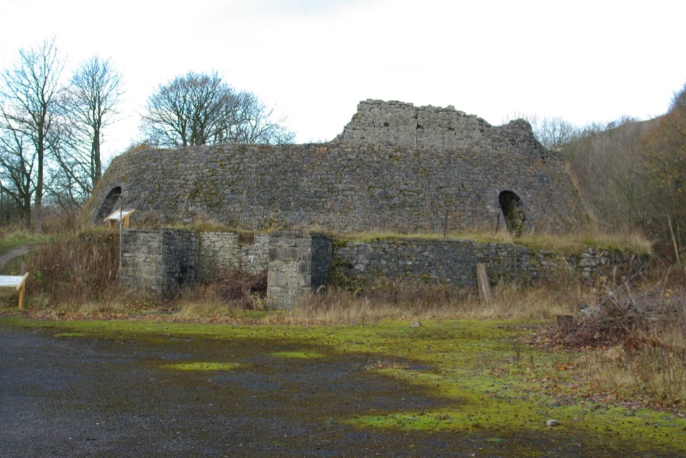 EasyCraven Lime Works Trail (Southern Loop)0.4 km · 24 min · 5.7 km awaySteps and stone kilns: a quarter-mile loop through quarry ruins
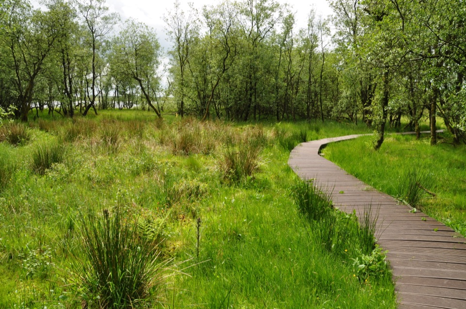 ModerateMalham Tarn National Nature Reserve Walk3.2 km · 1.3 hr · 5.8 km awayBoardwalk through mossy wet woodland, then open limestone pasture
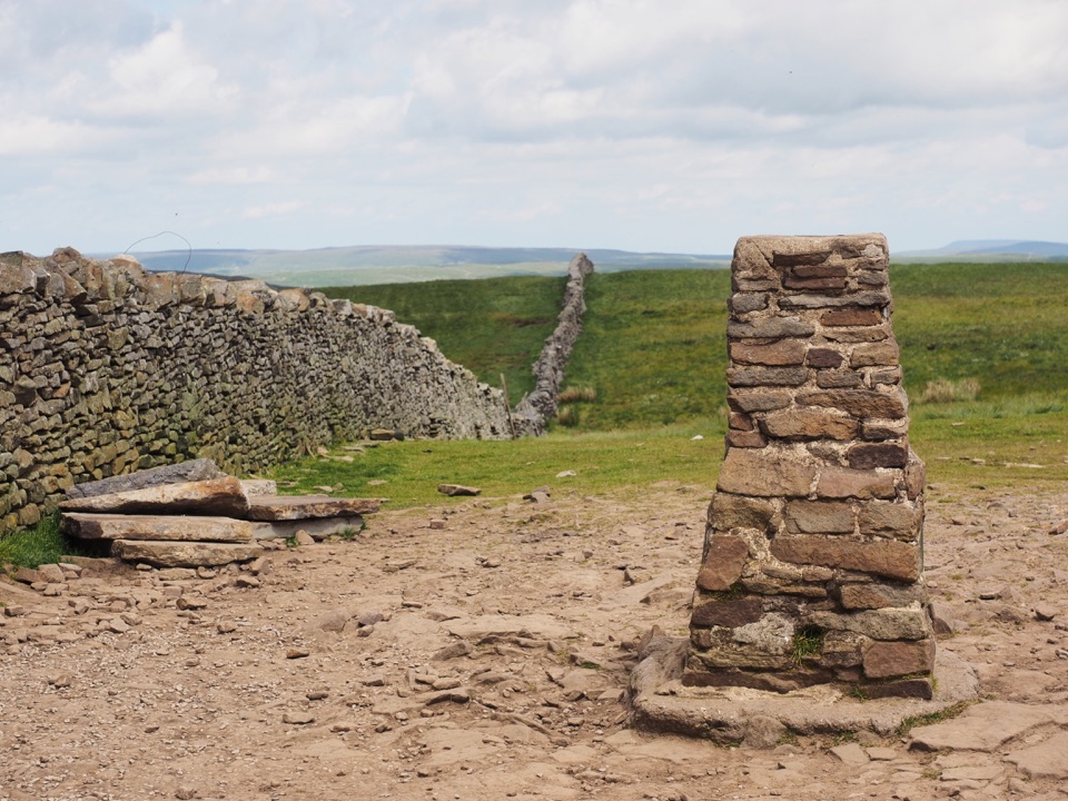 Sight · 2 km awayPen-y-ghent SummitStepped lion-shaped summit with a rocky scramble and huge Dales views
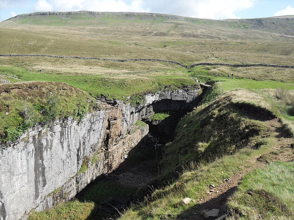 Sight · 3.6 km awayHull PotWalk in to a deep limestone chasm where a cavern collapsed
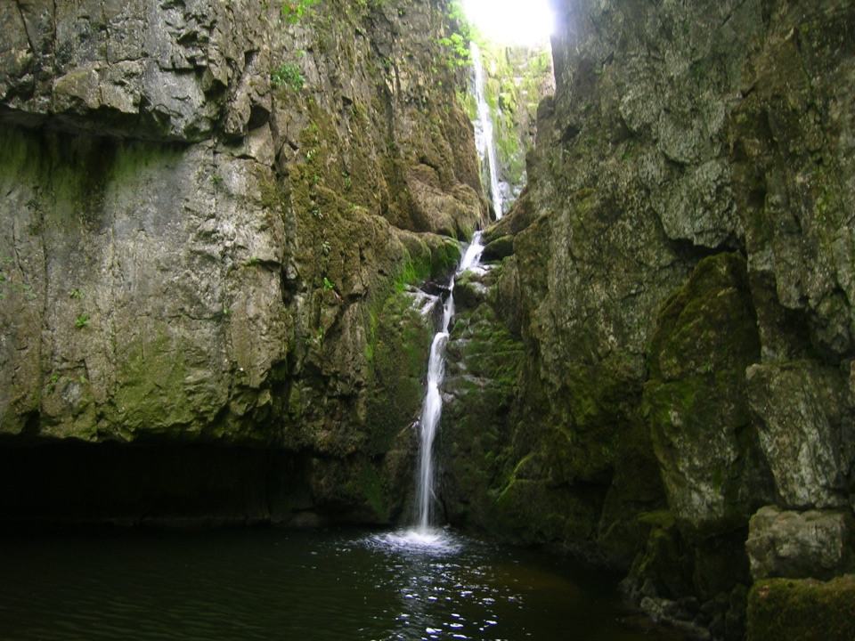 Sight · 4.5 km awayCatrigg ForceMulti-drop cascade hidden in a mossy limestone gorge above Stainforth
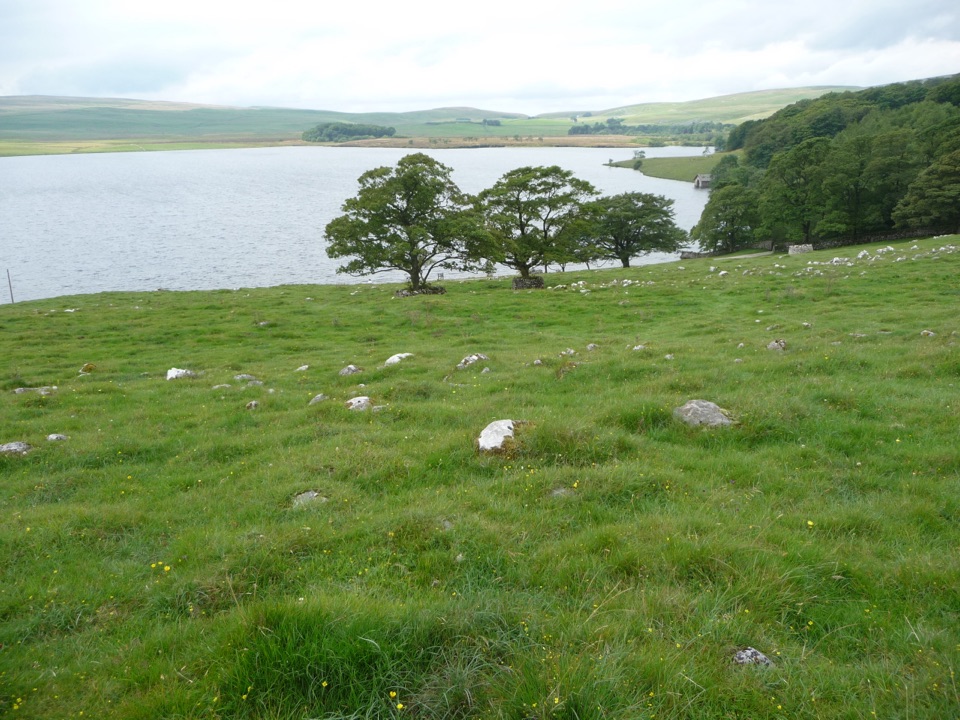 Sight · 6.9 km awayMalham TarnA glacier-made lime-rich lake ringed by bog, boardwalk and birds
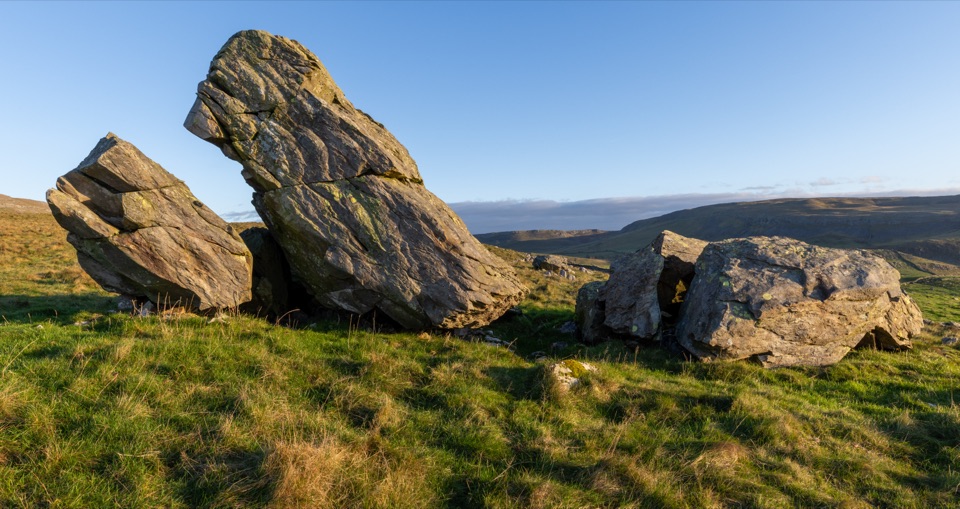 Sight · 7.8 km awayNorber ErraticsIce age boulders perched on pale limestone above a quiet dale
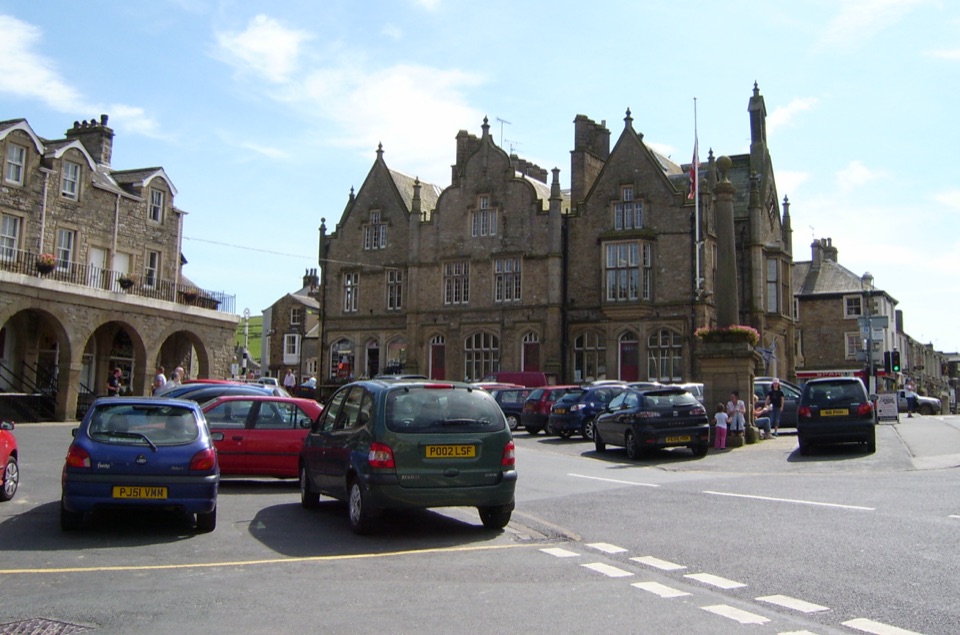 Sight · 8.1 km awaySettleStone market town under limestone scars, with alleys, cafes and trains
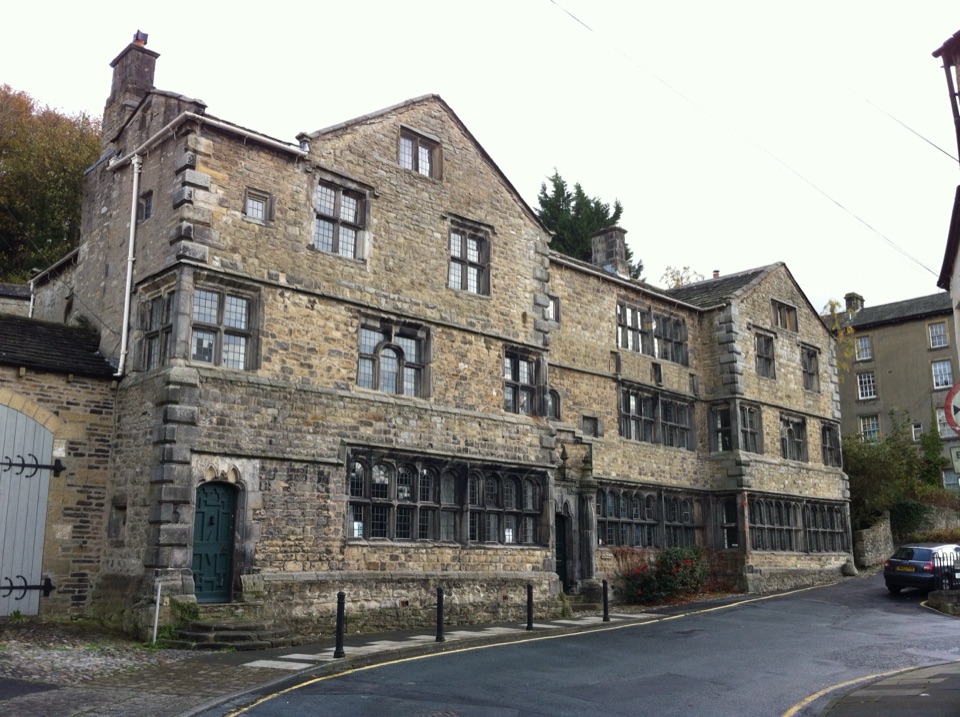 Sight · 8.2 km awayMuseum of North Craven Life at The FollyA 1679 townhouse telling North Craven's story, from parlours to viaducts
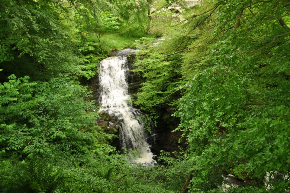 Sight · 8.9 km awayScaleber ForceTwelve metres of limestone cascade hidden in a mossy roadside gorge
Parkwolf’s Yorkshire Dales ranking

The audio tour guide for the drive, plus offline maps, trails, and wildlife heatmaps for when the signal drops.



