Parking
No dedicated car park is established for this exact named route. Approach on foot from Austwick or Feizor and use only lawful village parking; the woodland entrances have mapboards but are not parking areas.
Yorkshire Dales National Park, EN
Short limestone woodland walk with spring bluebells and open Dales views
Overview
This is a low-commitment walk rather than a full day out. Treated as a woodland section combined with a wider outing from Austwick or Feizor, it earns its place; treated as a standalone destination hike, it is over quickly.
 Parkwolf’s verdictWorth Knowing
Map & elevation
Plan your hike

The highest, rockiest slopes around here are a summer buffet for grizzly bears.
Yorkshire Dales Tour Guide
Parkwolf is a GPS audio tour guide for Yorkshire Dales National Park. As you drive, it chimes in with what’s ahead: hidden gems, upcoming stops, history, geology, and wildlife, right through your car’s speakers.
Recorded for this area
Flowers in the Old Quarry“The wooded slopes near Feizor have a past that's easy to miss. Oxenber and Wharfe Woods were once part of Austwick's village quarry.”
Plays on the road 1.3 km from the trailhead in the Parkwolf Yorkshire Dales Tour Guide.
More stories near here in the app
“Fantastic app with many points of information… It’s great to just turn on while you’re driving and it gives you an audio tour of the national Park. We love it!!!!”


Trail guide
This is a point-to-point woodland route of about 1.0 mile (1.6 km) total, measured along the mapped line rather than as a loop. It begins at the western Wharfe Wood entrance, runs through the wood toward the eastern mapboard, returns over a shared junction, then continues along a second named woodland section to the southern end of the route. Allow roughly 30 minutes for the named route alone, plus extra time if you walk in from Austwick or Feizor.
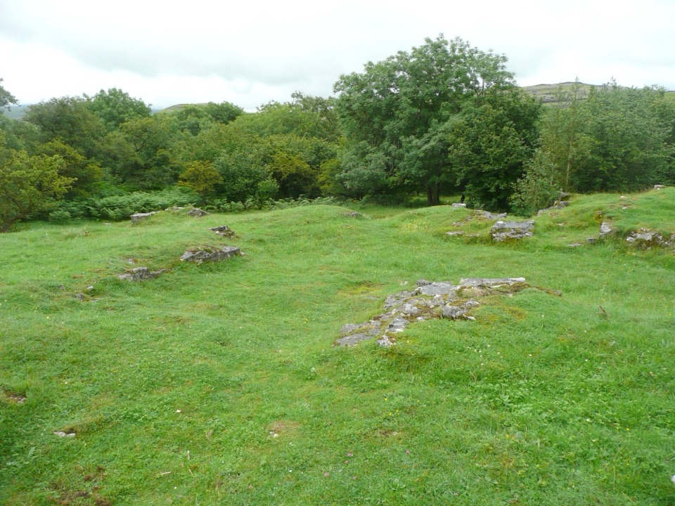
Easy in distance and gradient, with only modest elevation variation across the wood. The surface is the real consideration: laid-out access paths cross limestone and grass, and the ground is uneven in places, with pock-marked hollows left from the wood's past as the Austwick village quarry. Sturdy shoes help, and it is worth staying on the paths where limestone pavement, cave openings and sinkholes are present.
The woodland is a Site of Special Scientific Interest, mixing tree canopy with open limestone grassland. In spring, bluebells and other woodland flowers carry the interest, while the open edges give views out toward the surrounding Dales and Moughton Scar.
Good subjects include:
The wood sits under an Open Access agreement, with access paths laid out through it and mapboards at each entrance, which are the best orientation point before you set off. No dedicated trail car park is associated with this specific route, so plan your approach on foot from Austwick or Feizor and park considerately in the villages.
Dogs are welcome under the usual Dales countryside rules. Use leads on public rights of way and anywhere near livestock, keep dogs on short leads from March to July for ground-nesting birds, and keep them under close control around limestone pavement, caves and sinkholes.
Wildlife
 10 sightingsEurasian OtterMost seen around 7 PMSighting map
 11 sightingsAtlantic SalmonMost seen around 7 AMSighting map
 12 sightingsShort-eared OwlMost seen around 7 PMSighting map
 22 sightingsWestern Barn OwlMost seen around 6 AMSighting map
 27 sightingsTawny OwlMost seen around 7 PMSighting map
 34 sightingsCommon KingfisherMost seen around 7 AMSighting map
Sighting maps show where each species has been reported across Yorkshire Dales. Wildlife moves, so no sighting is guaranteed.
Keep exploring
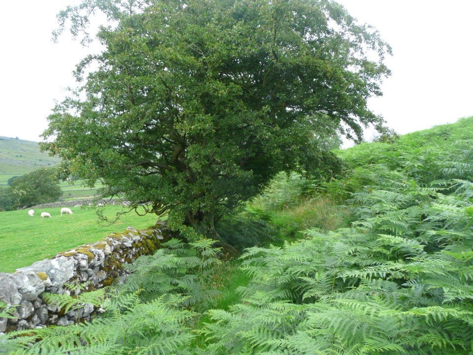 EasyOxenber Wood Trail1.1 km · 30 min · 0.5 km awayBluebell woods and old quarry ground on a half-mile point-to-point
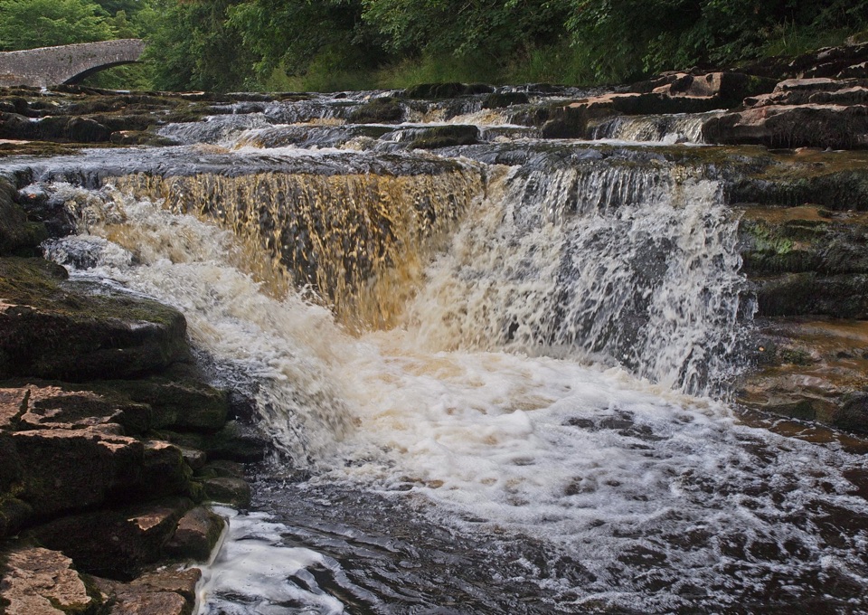 ModerateStainforth Audio Trail6.8 km · 1.8 hr · 3.7 km awayLimestone falls, riverside path and a stone village on an easy loop
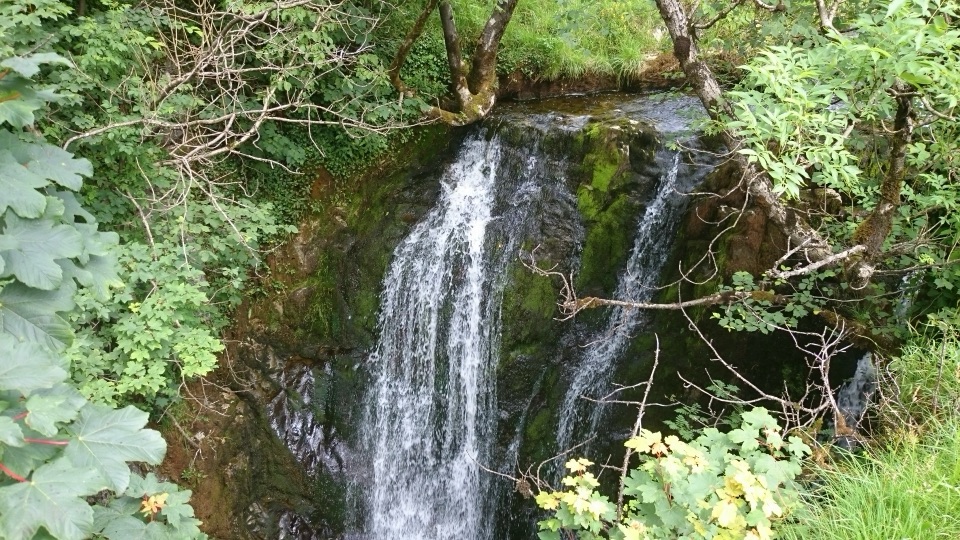 ModerateStainforth and Catrigg Force4.5 km · 1.5 hr · 3.9 km awayLimestone stairway climb to a quiet wooded waterfall above Ribblesdale
 ChallengingIngleborough from Clapham16.1 km · 6 hr · 3.9 km awayGorge, cave mouth and limestone pavement on a big 723m summit day
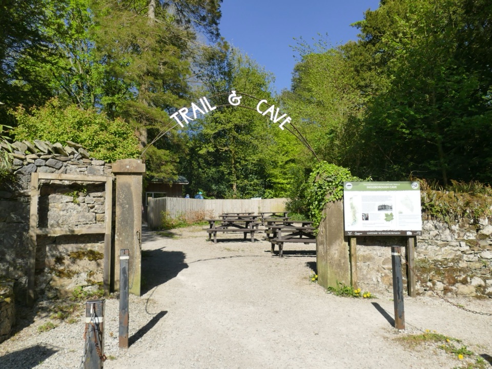 EasyIngleborough Estate Nature Trail2.1 km · 30 min · 3.9 km awayGentle 1.3-mile beck-side woodland walk to a dramatic cave mouth
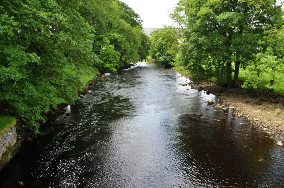 ModerateHorton-in-Ribblesdale to Settle Walk12.9 km · 3.8 hr · 4.4 km awayRibble-side valley walk from Horton station down to Settle station
 ChallengingYorkshire Three Peaks Circular38.6 km · 12 hr · 4.4 km awayThree fell summits, 24 miles and 5,000 feet in one long day
 ModeratePen-y-ghent Circular9.7 km · 3.8 hr · 4.6 km awaySteep wall-side climb to a flat-topped summit, then a walled lane home
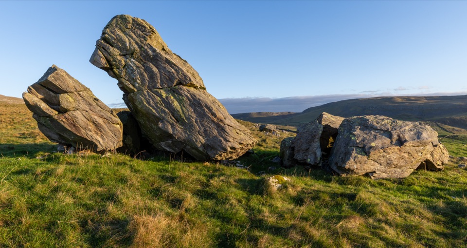 Sight · 2.1 km awayNorber ErraticsIce age boulders perched on pale limestone above a quiet dale
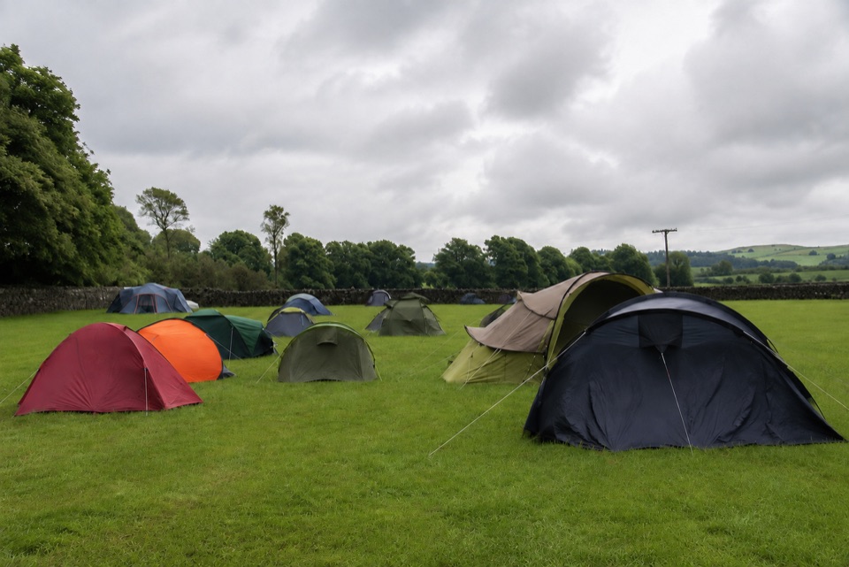 Campground · 2.4 km awayThe Dalesbridge Campsite and CabinsTen-acre camping base for the Three Peaks, with bar and pizza
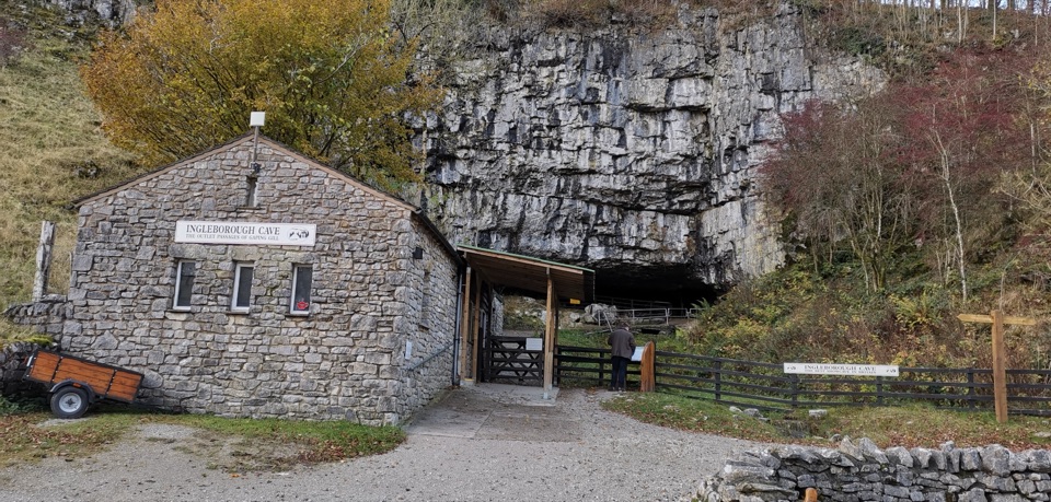 Sight · 3.9 km awayIngleborough CaveA wooded mile in, then half a kilometre of floodlit stalactites
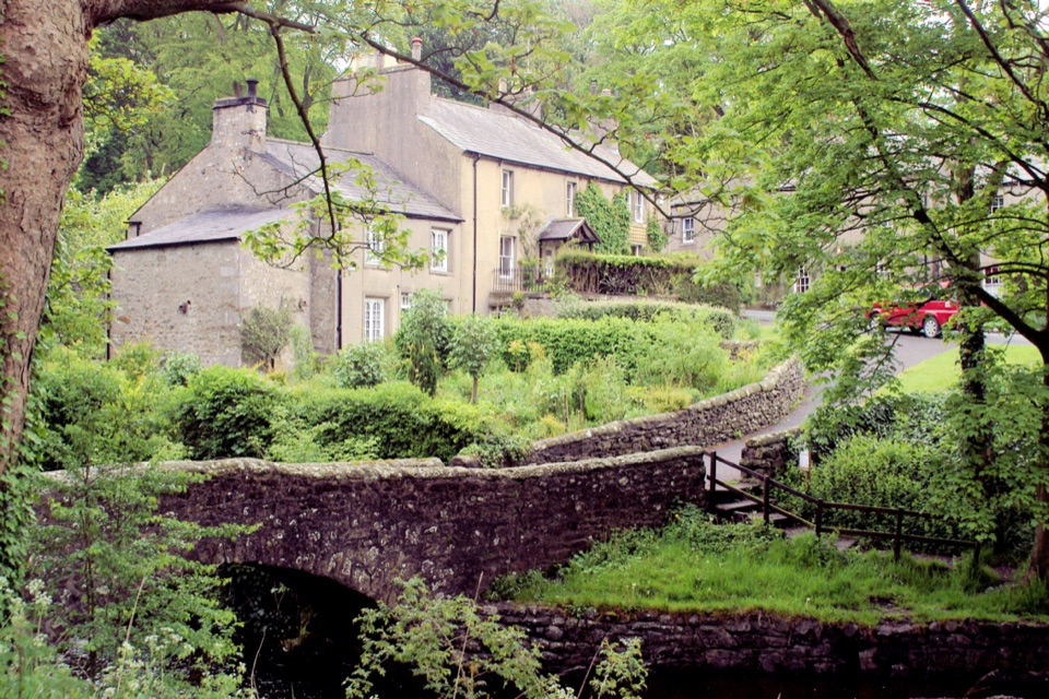 Sight · 4 km awayClaphamStone cottages along a beck, with cave country up the lane
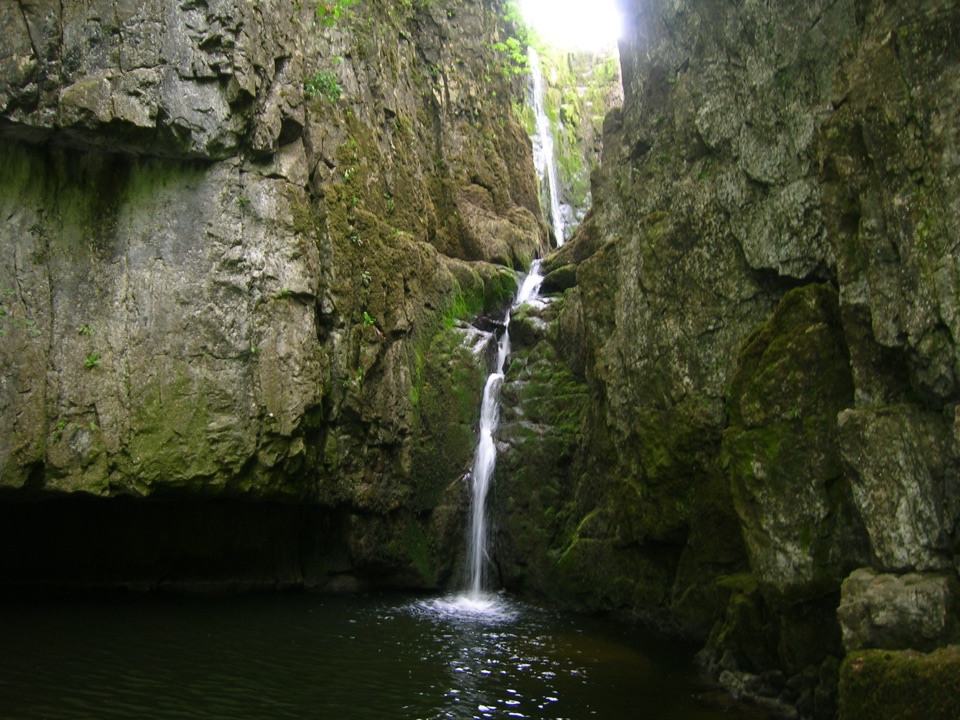 Sight · 5 km awayCatrigg ForceMulti-drop cascade hidden in a mossy limestone gorge above Stainforth
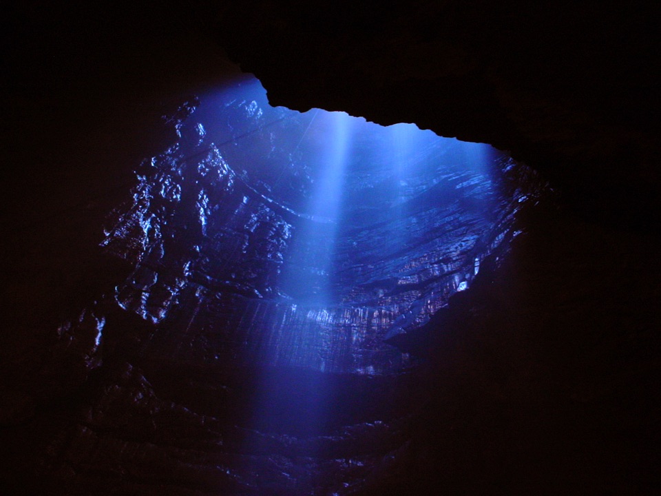 Sight · 5.2 km awayGaping GillA moorland beck vanishes 100m down into a vast hidden chamber
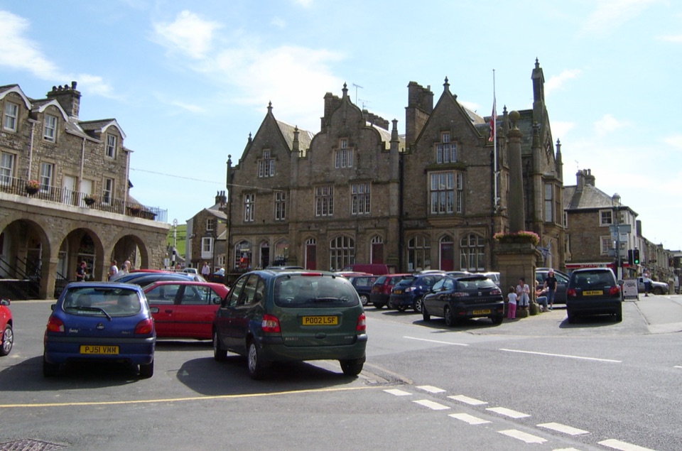 Sight · 6.1 km awaySettleStone market town under limestone scars, with alleys, cafes and trains
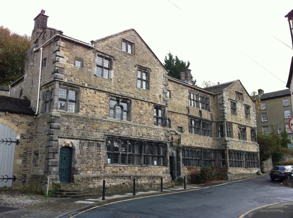 Sight · 6.3 km awayMuseum of North Craven Life at The FollyA 1679 townhouse telling North Craven's story, from parlours to viaducts
Parkwolf’s Yorkshire Dales ranking
The audio tour guide for the drive, plus offline maps, trails, and wildlife heatmaps for when the signal drops.


