Parking
Informal roadside lay-by on the B6479 just south of Selside, near Ribbleshead; space for about four cars. The nearest toilets, including RADAR facilities, are at the National Park car park in Horton-in-Ribblesdale.
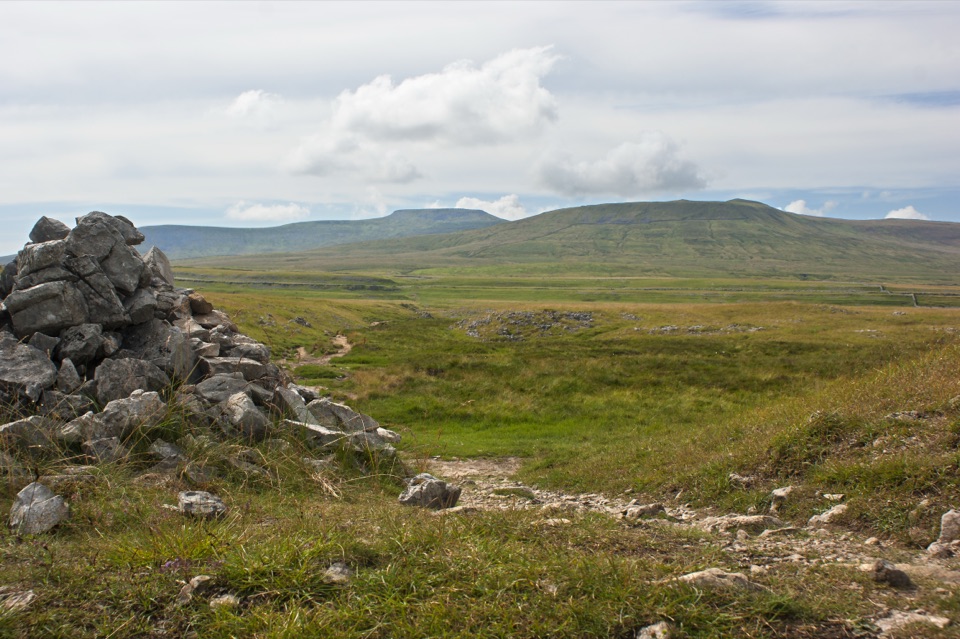
Yorkshire Dales National Park, EN
Stile-free limestone track to Sulber Gate with views over Crummack Dale
Overview
The track is stile-free and well signposted, but the surface is grass and bare limestone rather than anything smooth, and short gradients reach 1:6. This is realistic for a sturdy 4x4 all-terrain wheelchair or for someone with a confident assistant, and less realistic for an everyday manual or lightweight powerchair. Elevation along the corridor rolls between roughly 287 m and 367 m, so expect steady undulation rather than one long pull.
 Parkwolf’s verdictSurfaces, gradients and who it suits
Map & elevation
Plan your hike

The highest, rockiest slopes around here are a summer buffet for grizzly bears.
Yorkshire Dales Tour Guide
Parkwolf is a GPS audio tour guide for Yorkshire Dales National Park. As you drive, it chimes in with what’s ahead: hidden gems, upcoming stops, history, geology, and wildlife, right through your car’s speakers.
Recorded for this area
The Tracks to Thorns“Near Selside, the ruined hamlet of Thorns was once a meeting point for tracks across the fells. Records name it in 1190 as land belonging to Furness Abbey; by the early sixteenth century, six farm tenancies stood here.”
Plays on the road 1.3 km from the trailhead in the Parkwolf Yorkshire Dales Tour Guide.
More stories near here in the app
“Fantastic app with many points of information… It’s great to just turn on while you’re driving and it gives you an audio tour of the national Park. We love it!!!!”


Trail guide
This is an out-and-back, signed as one of the park's Miles Without Stiles routes. The stored corridor runs 2.97 km from the roadside start to Sulber Gate, and because you return the same way the official figure is 6 km / 3.7 miles round trip. Allow 2 to 2.5 hours if you want stops and time to pick your line over the rougher patches. The park grades it red, a route for some, and we call it moderate overall.
You start from the lay-by on the B6479 just south of Selside, with a short crossing of a road that can carry fast traffic, so take care getting onto the Pennine Bridleway approach. The going begins on good tarmac, then changes to a grassy track once you pass through the gates and into the Ingleborough National Nature Reserve. From there it is a well-defined track over grass with exposed bedrock, at least 1.5 m wide, climbing gradually through Sulber Nick to Sulber Gate. Turn around at the gate and retrace your steps.
Sulber sits in the heart of limestone country. Looking around from the track you get Crummack Dale below, the limestone pavements of Long Scar, and Moughton, where juniper grows among the rocks. On clearer days the skyline gives you Pen-y-Ghent, and further off, Pendle Hill.
Late spring and summer bring the limestone grassland into its own, with early-purple orchid, wild thyme, rockrose, bird's-foot trefoil, limestone bedstraw, harebell and small scabious. Cattle graze here, so keep dogs under close control around livestock and be ready to give animals room on a narrow section of track.
At Sulber Gate you can follow the fence east to a perpendicular wall and loop back, but that is a different proposition: rougher grass with an undefined path, across open-access land where local restrictions, including possible dog restrictions, may apply. It is not counted in the 6 km figure. If you are not sure of the ground, the there-and-back to the gate is the better call.
Informal roadside parking at the start takes about four cars, and there are no facilities there. The nearest toilets, including RADAR facilities, are at the National Park car park in Horton-in-Ribblesdale, which makes a sensible stop before or after.
Wildlife
 10 sightingsEurasian OtterMost seen around 7 PMSighting map
 11 sightingsAtlantic SalmonMost seen around 7 AMSighting map
 12 sightingsShort-eared OwlMost seen around 7 PMSighting map
 22 sightingsWestern Barn OwlMost seen around 6 AMSighting map
 27 sightingsTawny OwlMost seen around 7 PMSighting map
 34 sightingsCommon KingfisherMost seen around 7 AMSighting map
Sighting maps show where each species has been reported across Yorkshire Dales. Wildlife moves, so no sighting is guaranteed.
Keep exploring
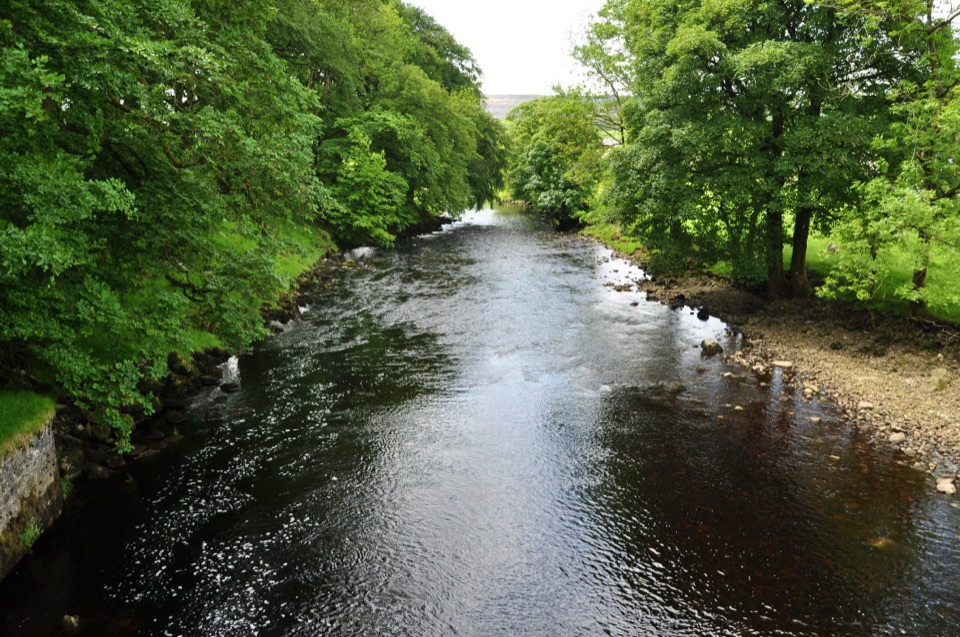 ModerateHorton-in-Ribblesdale to Settle Walk12.9 km · 3.8 hr · 2.5 km awayRibble-side valley walk from Horton station down to Settle station
 ChallengingYorkshire Three Peaks Circular38.6 km · 12 hr · 2.5 km awayThree fell summits, 24 miles and 5,000 feet in one long day
 ModeratePen-y-ghent Circular9.7 km · 3.8 hr · 2.8 km awaySteep wall-side climb to a flat-topped summit, then a walled lane home
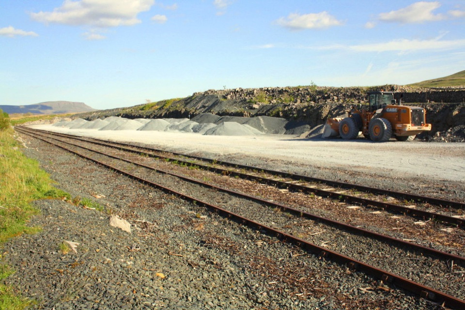 ModerateRibblehead Quarry Walk2.7 km · 1.3 hr · 4.8 km awayQuarry ponds, limestone pasture and a Viking farmstead in 1.68 miles
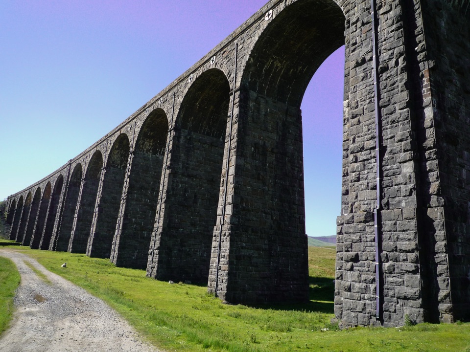 EasyRibblehead Audio Trail2.4 km · 1.5 hr · 4.8 km awayShort audio loop through navvy camps and lime kilns beneath the viaduct
 ChallengingWhernside Circular12.6 km · 4.5 hr · 5.2 km awaySteep ridge loop from Ribblehead Viaduct to a 736 m fell summit
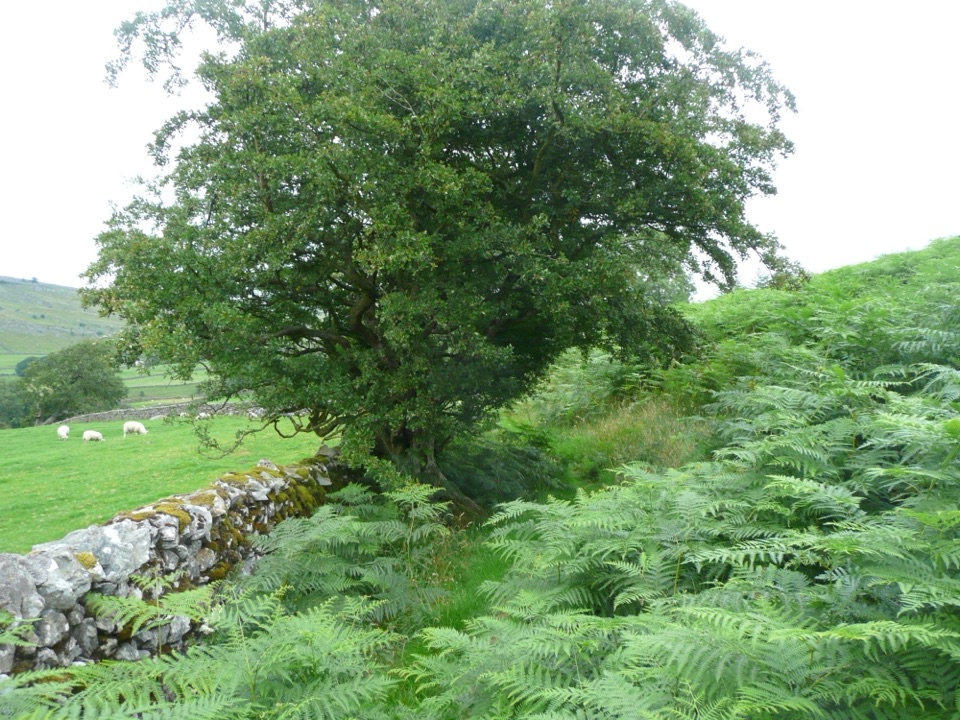 EasyOxenber Wood Trail1.1 km · 30 min · 5.9 km awayBluebell woods and old quarry ground on a half-mile point-to-point
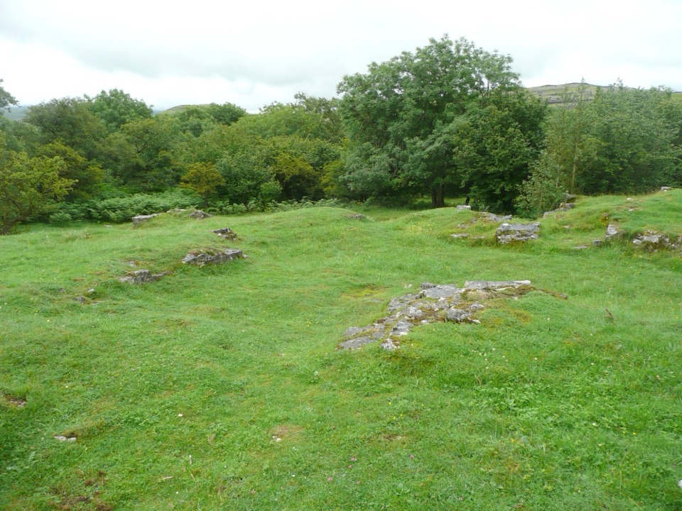 EasyWharfe Wood Trail1.6 km · 30 min · 6 km awayShort limestone woodland walk with spring bluebells and open Dales views
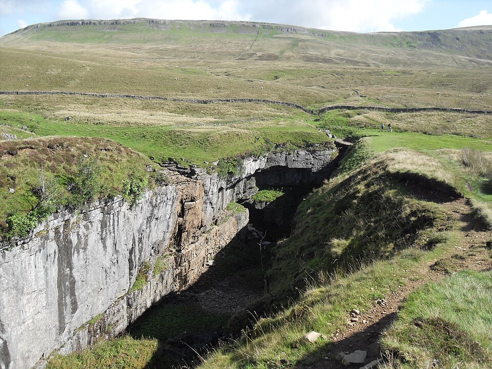 Sight · 3.6 km awayHull PotWalk in to a deep limestone chasm where a cavern collapsed
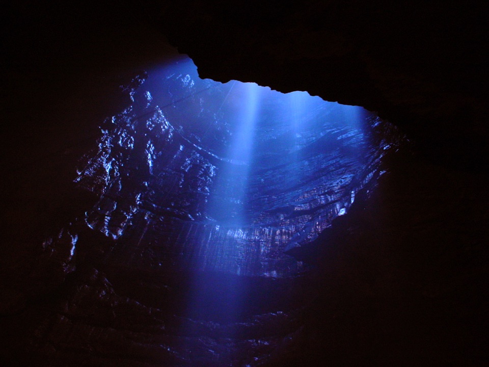 Sight · 4.2 km awayGaping GillA moorland beck vanishes 100m down into a vast hidden chamber
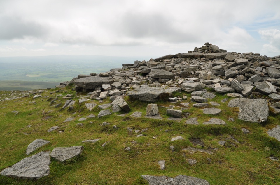 Sight · 4.7 km awayIngleborough SummitIngleborough Summit: flat gritstone plateau with an ancient hill fort
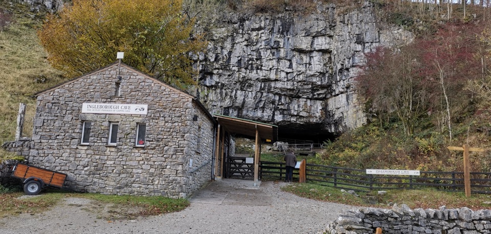 Sight · 4.9 km awayIngleborough CaveA wooded mile in, then half a kilometre of floodlit stalactites
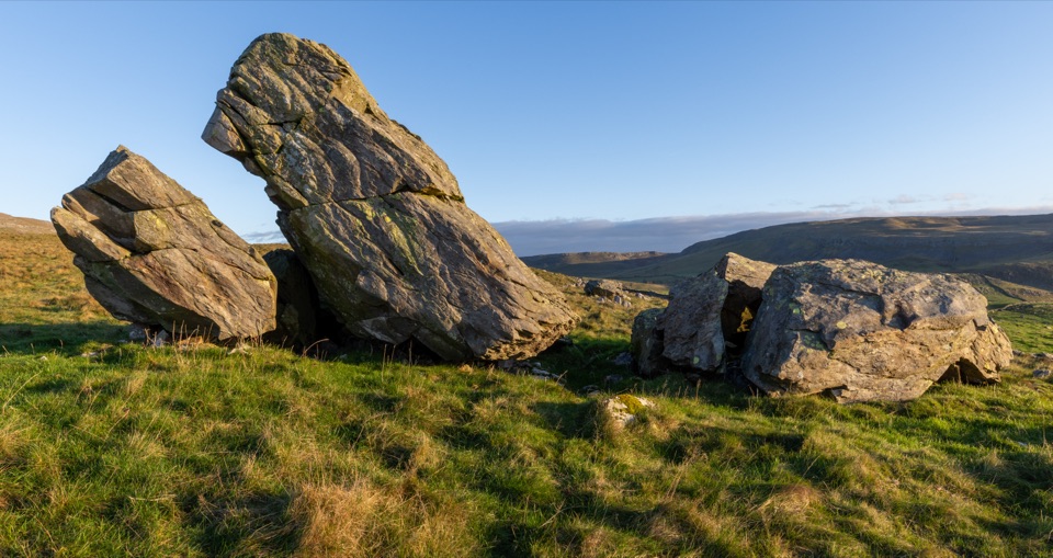 Sight · 5.1 km awayNorber ErraticsIce age boulders perched on pale limestone above a quiet dale
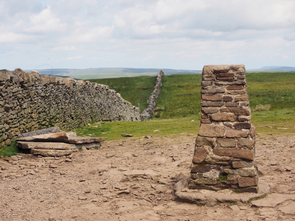 Sight · 5.2 km awayPen-y-ghent SummitStepped lion-shaped summit with a rocky scramble and huge Dales views
 Sight · 5.6 km awayRibblehead ViaductVictorian stone arches striding across open moss below Whernside
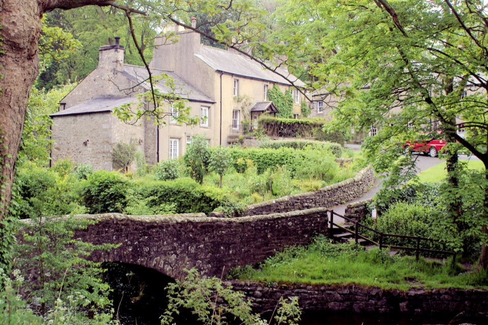 Sight · 7 km awayClaphamStone cottages along a beck, with cave country up the lane
Parkwolf’s Yorkshire Dales ranking
The audio tour guide for the drive, plus offline maps, trails, and wildlife heatmaps for when the signal drops.


