Overview
About Stainforth Force
Why stop
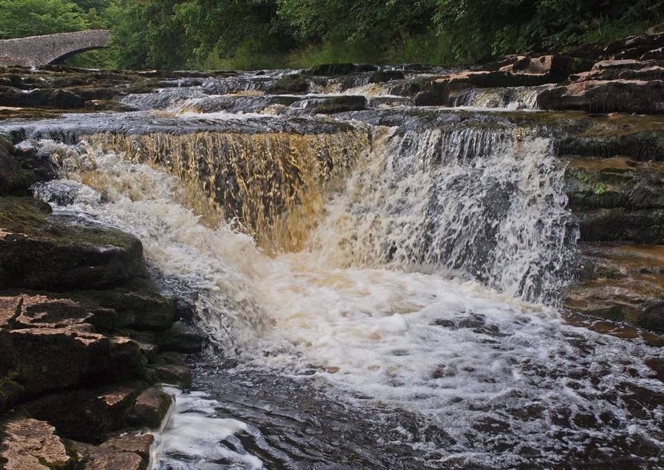
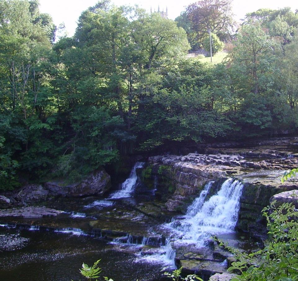
- Broad limestone steps and a historic bridge make a distinctive riverside scene.
- Autumn salmon sometimes leap upstream.
Heads up
- The short approach has uneven footing, and rocks near the water can be slippery.
Map
Where it is

The highest, rockiest slopes around here are a summer buffet for grizzly bears.
Yorkshire Dales Tour Guide
Your drive to Stainforth Force, narrated.
Parkwolf is a GPS audio tour guide for Yorkshire Dales National Park. As you drive, it chimes in with what’s ahead: hidden gems, upcoming stops, history, geology, and wildlife, right through your car’s speakers.
See the Yorkshire Dales audio tourRecorded for this area
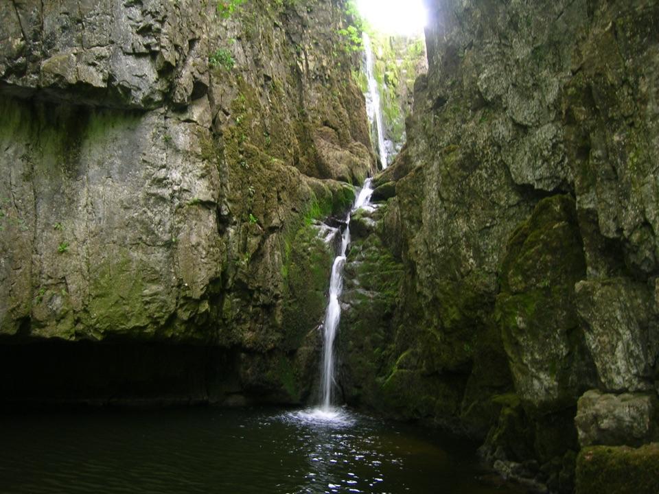
Catrigg Force from Stainforth“You're coming up on Stainforth, where you can start the walk to Catrigg Force.”
Plays on the road 0.2 km from Stainforth Force in the Parkwolf Yorkshire Dales Tour Guide.
More stories near here in the app
- The Fire That Moved Around the Kiln
- Craven Lime Works
- The Dark Rock Beneath the Limestone
- The Quaker Who Built the Bridge
- 298 audio storiesacross Yorkshire Dales’s roads, triggered by GPS as you drive
- Wildlife heatmapsfor Eurasian Otter, Atlantic Salmon, Short-eared Owl, and 13 more
- Works offlinemaps, 100 trails, 68 places, and audio download before you lose signal
- CarPlay readysimple controls built for the drive
“Fantastic app with many points of information… It’s great to just turn on while you’re driving and it gives you an audio tour of the national Park. We love it!!!!”


Guide
More about Stainforth Force
A short stop on the RibbleThis small waterfall lies on the River Ribble near Stainforth, about three miles north of…
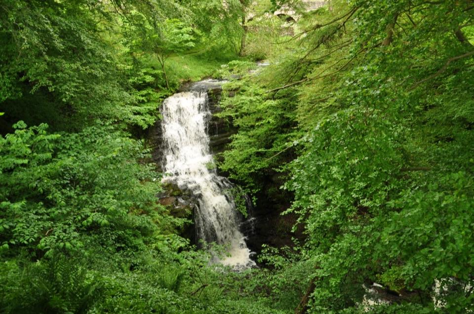
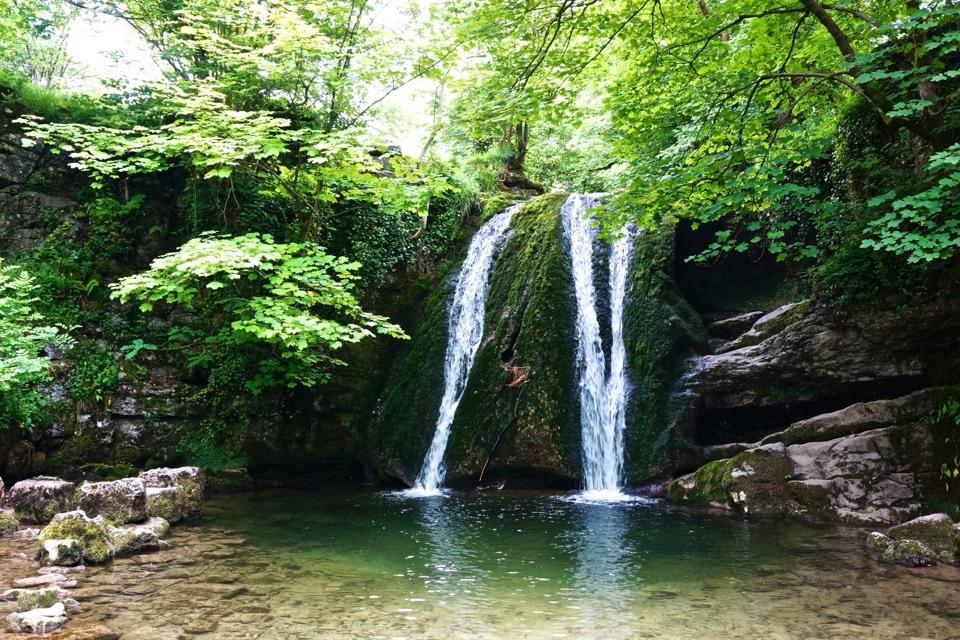
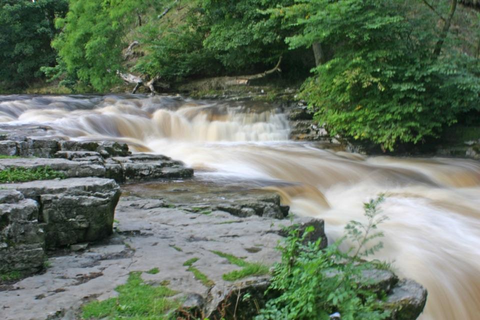
This small waterfall lies on the River Ribble near Stainforth, about three miles north of Settle. The water drops roughly 2.5 metres over broad limestone ledges. I’d stop if you’re nearby: it’s a modest fall, but the stepped rock and old bridge make a good riverside scene. The flow looks strongest after heavy rain, and the path can be busy on sunny bank holidays.
Take the signed path from StainforthUse the Yorkshire Dales National Park car park; parking right by the falls is very limited.
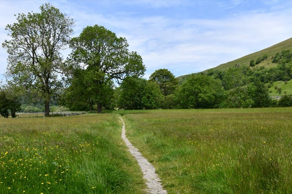
Use the Yorkshire Dales National Park car park; parking right by the falls is very limited. From the car park, follow the Pennine Bridleway signs under the road, through a picnic area, across the railway and over the packhorse bridge, then take the field path to the river. It’s about a ten-minute walk downhill. Public toilets are by the car park, and the riverside path continues toward Settle for a mostly flat walk of about three miles. Expect uneven, sometimes muddy footing and slippery rocks. Dogs are welcome; visitors are advised to stay out of the water.
Watch for salmon in autumnAtlantic salmon migrate upriver to spawn, usually from late September into November.
Atlantic salmon migrate upriver to spawn, usually from late September into November. After rain, higher water can make the falls more dramatic and may give you a chance to see salmon working their way upstream, but neither the right flow nor a sighting is guaranteed.
The bridge and the limestoneThe packhorse bridge just above the falls dates to 1675 and crosses the river on an old…
The packhorse bridge just above the falls dates to 1675 and crosses the river on an old monastic route. The cascade runs over Chapel House Limestone, brought to the surface by a small fold in the rock; that layered ledge is what gives the water its stepped shape. For a photo, keep the arch behind the falls so the river scene has a sense of place.
Wildlife
Wildlife in Yorkshire Dales
 10 sightingsEurasian OtterMost seen around 7 PMSighting map
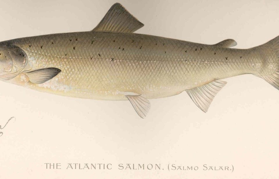 11 sightingsAtlantic SalmonMost seen around 7 AMSighting map
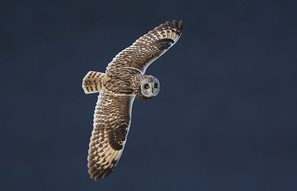 13 sightingsShort-eared OwlMost seen around 7 PMSighting map
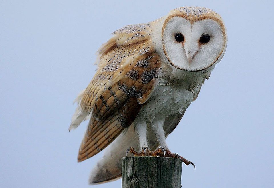 22 sightingsWestern Barn OwlMost seen around 6 AMSighting map
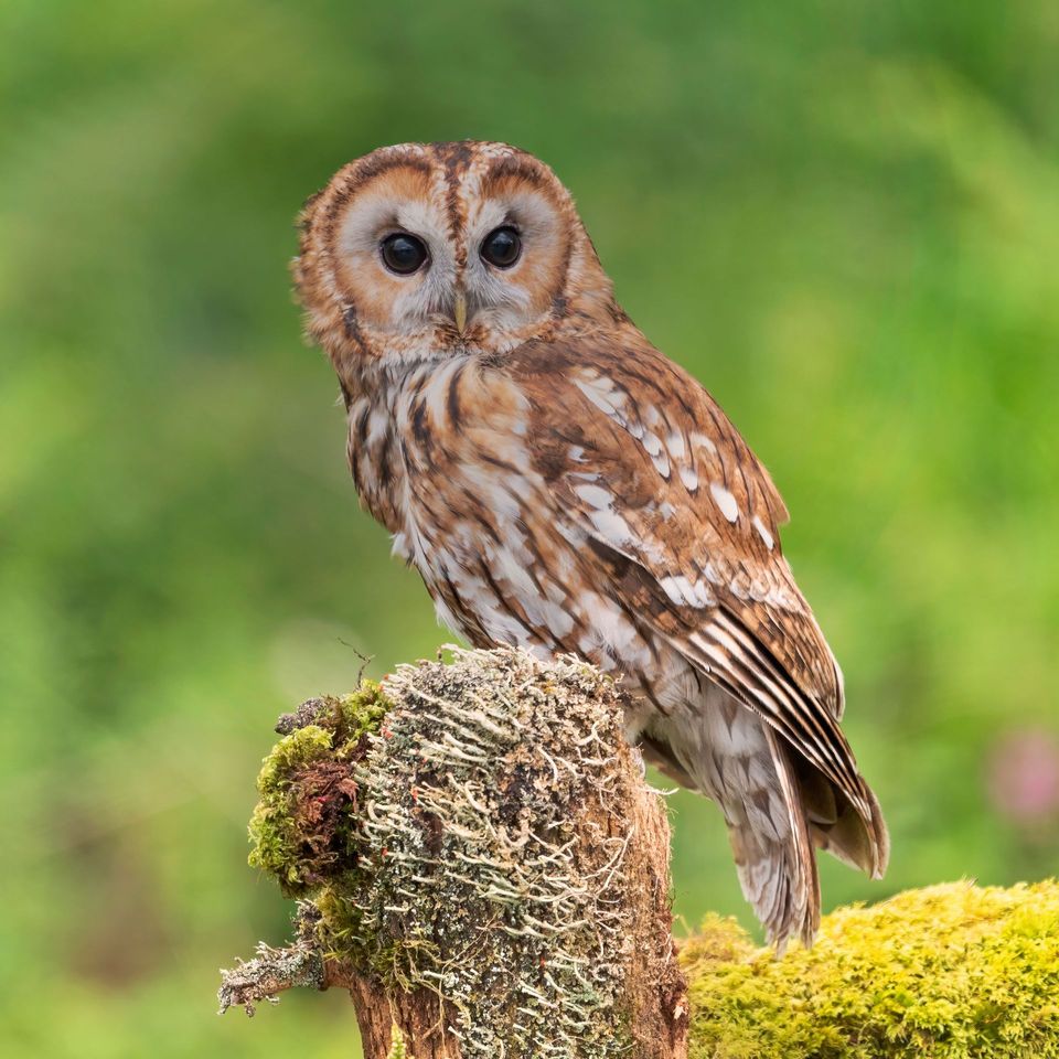 27 sightingsTawny OwlMost seen around 7 PMSighting map
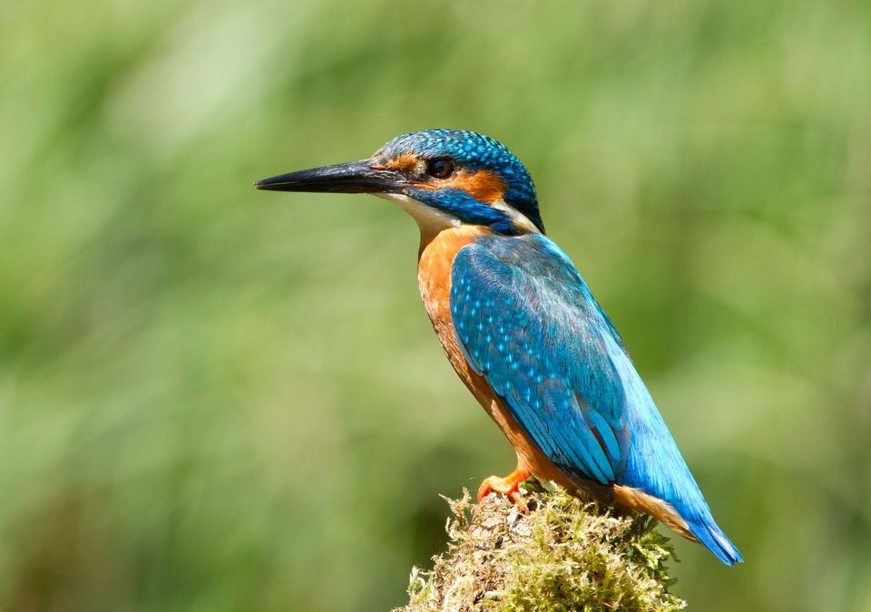 34 sightingsCommon KingfisherMost seen around 7 AMSighting map
Sighting maps show where each species has been reported across Yorkshire Dales. Wildlife moves, so no sighting is guaranteed.