Settle in Yorkshire Dales National Park

Sight · Yorkshire Dales National Park

Settle

Stone market town under limestone scars, with alleys, cafes and trains

Photo: Public Domain
Type
Sight
Nearest trail
Right here
Audio stories
6 nearby
  • Parking
  • Restrooms
  • Visitor center
  • Food

Hear the audio tour

Settle and Attermire Scar

Overview

About Settle

Why stop

  • Distinctive historic market square and stone lanes
  • Strong base for nearby limestone walks and the Settle-Carlisle Railway

Heads up

  • Compact centre is easy to see quickly
  • Busy market days and fine weekends can reduce the quiet feel

Map

Where it is

Loading the Yorkshire Dales map
Full map
SightSettle54.06906, -2.27636
Keep this map with you offline in the Parkwolf app

Plan your stop

Before you go

Best time to visit

Tuesday brings the traditional outdoor market to Market Square, which is the liveliest way to see the town, though parking is tightest then. For a quieter wander through the alleys and courtyards, choose a weekday morning outside market day. Spring and early autumn give good light on the limestone and easier conditions for the Castleberg climb.


1 active Yorkshire Dales alert

  • ClosureTemporary closures on public rights of wayAvoid the listed sections of public rights of way while their temporary closures or pedestrian prohibition are in force. - Public Bridleway No. 52 (05.Official details
Yorkshire Dales alerts
A park ranger sits on a dash-mounted phone, talking, as Parkwolf’s Tour Guide plays “Army Cutworm Moths: A Grizzly Bear Buffet” on Grand Loop Road below Dunraven Pass in Yellowstone
Parkwolf Tour GuideThe highest, rockiest slopes around here are a summer buffet for grizzly bears.

Yorkshire Dales Tour Guide

Your drive to Settle, narrated.

Parkwolf is a GPS audio tour guide for Yorkshire Dales National Park. As you drive, it chimes in with what’s ahead: hidden gems, upcoming stops, history, geology, and wildlife, right through your car’s speakers.

Recorded for this place

Settle and Attermire Scar
0:00 / 0:39
“You're approaching Settle, a compact market town with stone lanes and courtyards around its square. Its market charter dates to 1249, and the square still hosts a Tuesday market.”

Plays as you drive up to Settle in the Parkwolf Yorkshire Dales Tour Guide.

More stories near here in the app

  • When Hyenas Used the Cave
  • Scaleber Force
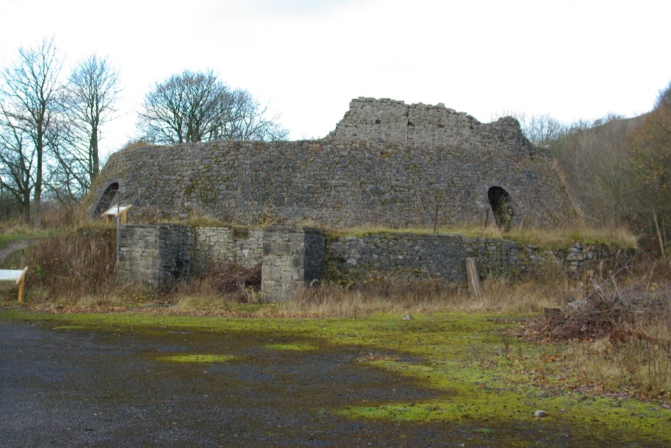
  • Craven Lime Works
  • The Fire That Moved Around the Kiln
  • 298 audio storiesacross Yorkshire Dales’s roads, triggered by GPS as you drive
  • Wildlife heatmapsfor Eurasian Otter, Atlantic Salmon, Short-eared Owl, and 13 more
  • Works offlinemaps, 99 trails, 63 places, and audio download before you lose signal
  • CarPlay readysimple controls built for the drive
★★★★★
“Fantastic app with many points of information… It’s great to just turn on while you’re driving and it gives you an audio tour of the national Park. We love it!!!!”
JMJamesApp Store review
Download Parkwolf on the App StoreGet Parkwolf on Google Play

4.7 from 8,600+ ratings

Guide

More about Settle

What it isA working North Yorkshire market town of roughly 2,600 people, set at the gateway to Upper…

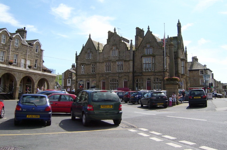
A working North Yorkshire market town of roughly 2,600 people, set at the gateway to Upper Ribblesdale beneath the limestone escarpment of Attermire Scar. A market charter was first granted by Henry III in 1249, and the name comes from the Old English Setl, meaning seat or dwelling. Much of the centre is a Conservation Area with 76 listed buildings, mostly 17th to 19th century, so the appeal is more streetscape than single showpiece.

What to seeThe Folly, a Grade I listed 17th-century yeoman house, now home to the Museum of North Craven…
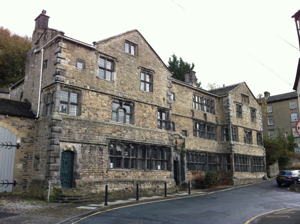
  • The Folly, a Grade I listed 17th-century yeoman house, now home to the Museum of North Craven Life.
  • The French-style town hall and the Shambles, a distinctive row of shops facing the square.
  • Market Square and the narrow alleys, courtyards and stone yards running off it.
  • Victoria Hall, a Grade II listed venue, and the independent shops, galleries, cafes and pubs scattered through the centre.
  • The Settle-Carlisle Railway, which dominates the lower town and is a working line rather than a heritage attraction.
Walking and cycling from townBoth the Ribble Way and the Pennine Bridleway pass through, and old packhorse and drovers…

Both the Ribble Way and the Pennine Bridleway pass through, and old packhorse and drovers routes now serve as footpaths and bridleways into the surrounding dales. Quiet lanes in the Ribble and Wenning valleys suit road cycling. Walkers can also use train services to link routes toward the Three Peaks country without a car.

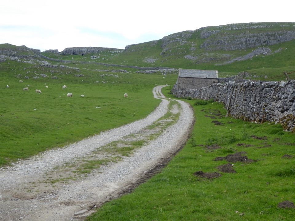
Castleberg is the obvious short option: a 63m (206ft) limestone crag rising directly above the marketplace, with a wide view over the rooftops. Be honest with yourself about it, since the path is short but steep, with boulders and a little scrambling near the top, and it is best avoided in wet or icy conditions or with unsteady footing.

PracticalitiesThree main town-centre car parks, plus parking on the market square on non-market days.
  • Three main town-centre car parks, plus parking on the market square on non-market days. Arrive early on busy days.
  • Public toilets at Whitefriars car park, including a RADAR-key accessible toilet.
  • A Tourist Information Centre in the Town Hall on Cheapside (BD24 9EJ) stocks free leaflets, maps, books and guides, and staff can advise on beds, meals and local walks.
  • Regular trains from Leeds and Carlisle, plus buses from Skipton and onward services toward Kirkby Lonsdale. By car it sits just off the A65.
  • A supermarket, petrol stations and everyday shops make this a sensible restocking point for a wider dales trip.
Honest drawbacksThe centre is compact and can be seen fairly quickly, so it works better as a base or a…

The centre is compact and can be seen fairly quickly, so it works better as a base or a half-day stop than a full day out. Market days and fine weekends fill the square and car parks and take away some of the quiet small-town feel. The railway is central to the town's character but it is a functioning transport line, so do not expect a preserved-railway experience.

Wildlife

Wildlife in Yorkshire Dales

All Yorkshire Dales wildlife maps

Sighting maps show where each species has been reported across Yorkshire Dales. Wildlife moves, so no sighting is guaranteed.

Keep exploring

Near Settle

See it all on the map

Trails nearby

More stops nearby

Parkwolf’s Yorkshire Dales ranking

Top sights in Yorkshire Dales

All 63 places
  1. 1Malham CoveSight
  2. 2Aysgarth FallsSight
  3. 3Ribblehead ViaductSight
  4. 4Gordale ScarSight
  5. 5Bolton CastleSight
  6. 6Janet's FossSight

Take Parkwolf to Yorkshire Dales.

The audio tour guide for the drive, plus offline maps, trails, and wildlife heatmaps for when the signal drops.

4.7 from 8,600+ ratings

Download Parkwolf on the App StoreGet Parkwolf on Google Play