Parking
Greenfoot Car Park in Settle (BD24 9RB) is the nearest named parking for the Market Place start. Horse boxes and trailers use marked bays; Stainforth has a separate designated option.
Yorkshire Dales National Park, EN
Ten steep limestone miles above Settle, with Three Peaks views
Overview
Map & elevation
Plan your hike

The highest, rockiest slopes around here are a summer buffet for grizzly bears.
Yorkshire Dales Tour Guide
Parkwolf is a GPS audio tour guide for Yorkshire Dales National Park. As you drive, it chimes in with what’s ahead: hidden gems, upcoming stops, history, geology, and wildlife, right through your car’s speakers.
Recorded for this trailhead
Settle and Attermire Scar“You're approaching Settle, a compact market town with stone lanes and courtyards around its square. Its market charter dates to 1249, and the square still hosts a Tuesday market.”
Plays as you drive up to this trailhead in the Parkwolf Yorkshire Dales Tour Guide.
More stories near here in the app
“Fantastic app with many points of information… It’s great to just turn on while you’re driving and it gives you an audio tour of the national Park. We love it!!!!”


Trail guide
A circular 10-mile (16 km) loop out of Settle, climbing onto limestone upland on the Pennine Bridleway and dropping back into town. Around 490 m (1,608 ft) of ascent and roughly 5 hours on foot, though many walkers and horse riders treat it as a full day out. Difficulty sits at moderate to challenging: steep in places, rough underfoot, and reasonably remote once you are up on the tops.
You start with the hardest part. The climb out of Settle is steep and unrelenting, and it gets you onto the limestone plateau quickly. From there the walking opens up: grassy stretches, limestone outcrops, a mix of grass and gravel tracks, and quiet winding lanes linking it all together. The final section descends back toward Settle.
The payoff is the long middle. On a clear day you get Malham Tarn, the Yorkshire Three Peaks and Attermire Scar in view, with the kind of wide upland horizon you do not get from the valley floor.
Expect uneven limestone, rocky and grassy tracks, and sustained climbs rather than short sharp bursts. This is not a gentle family stroll. Boots with decent grip and ankle support are worth it, and you should be comfortable with long ascents and descents on unstable ground. Because parts of the upland section are away from roads and settlement, plan to be self-sufficient for the duration.
Either direction works, but the official recommendation is anticlockwise, and it is good advice. Going that way avoids a steep tarmac descent on the return into Settle, which matters most if you are on a horse or a bike but is easier on the knees on foot too.
The loop is a shared bridleway used by walkers, mountain bikers and horse riders, so expect company of all three kinds and give way sensibly. Signposting follows the National Trail acorn symbol, which makes navigation straightforward at junctions.
The official start is Market Place, Settle (grid reference SD820637). The nearest named car park is Greenfoot Car Park, Settle, BD24 9RB. Settle has car parking plus train and bus connections, which makes this an easy loop to reach without driving.
Horse boxes and trailers have marked bays at Greenfoot, and there is another designated option at the national park authority car park in Stainforth.
Dogs are welcome on this network of public rights of way. Keep them on a lead on rights of way and anywhere near livestock, and use a short lead from March to July for ground-nesting birds. Stay on the paths: limestone country here includes limestone pavement, caves and sink holes, and stepping off the trail is where people get into trouble. Farm animals are a normal part of the landscape, so pass them calmly and give them space.
Wildlife
 10 sightingsEurasian OtterMost seen around 7 PMSighting map
 11 sightingsAtlantic SalmonMost seen around 7 AMSighting map
 12 sightingsShort-eared OwlMost seen around 7 PMSighting map
 22 sightingsWestern Barn OwlMost seen around 6 AMSighting map
 27 sightingsTawny OwlMost seen around 7 PMSighting map
 34 sightingsCommon KingfisherMost seen around 7 AMSighting map
Sighting maps show where each species has been reported across Yorkshire Dales. Wildlife moves, so no sighting is guaranteed.
Keep exploring
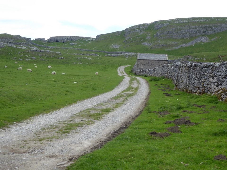
 ModerateSettle and Attermire Scar6.4 km · 1.8 hr · At the trailheadSteep climb from town to limestone crags, caves and wide views
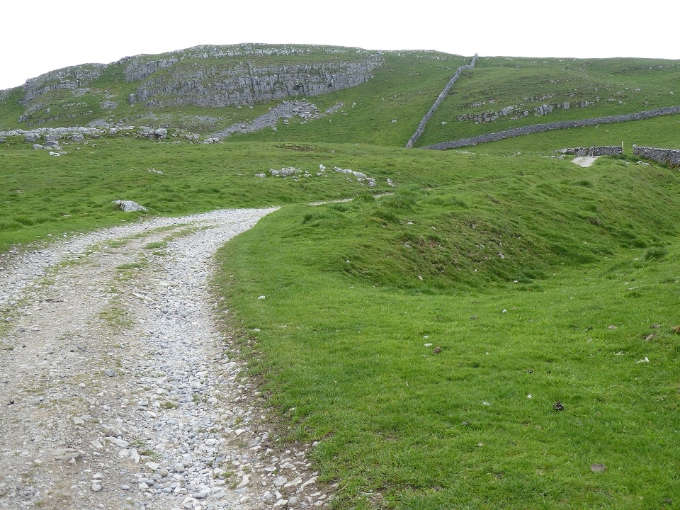
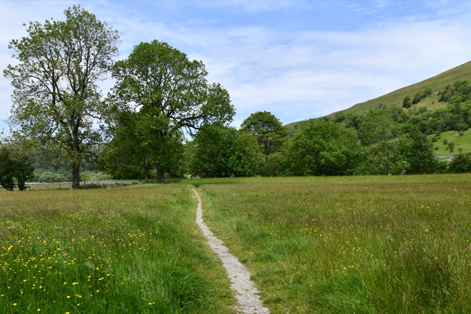 ChallengingWainwright's Pennine Journey397.5 km · 5 days · 0.3 km away18-day loop from Settle to Hadrian's Wall and back through the dales
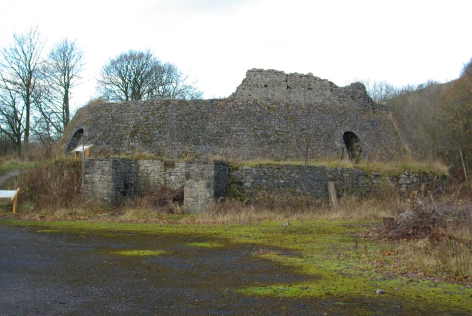 EasyCraven Lime Works Trail (Southern Loop)0.4 km · 24 min · 2.4 km awaySteps and stone kilns: a quarter-mile loop through quarry ruins
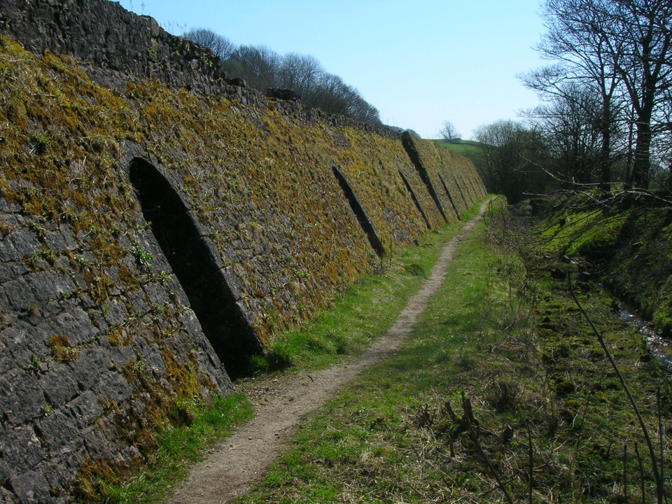 EasyCraven Lime Works Trail – Northern Loop0.7 km · 45 min · 2.6 km awayShort loop past an 1873 Hoffmann kiln, quarry cuts and woodland
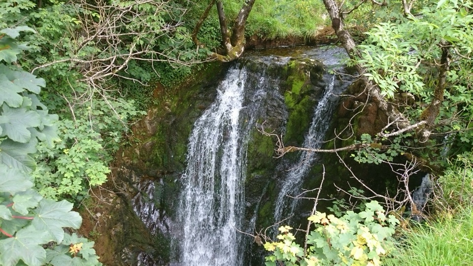 ModerateStainforth and Catrigg Force4.5 km · 1.5 hr · 3.6 km awayLimestone stairway climb to a quiet wooded waterfall above Ribblesdale
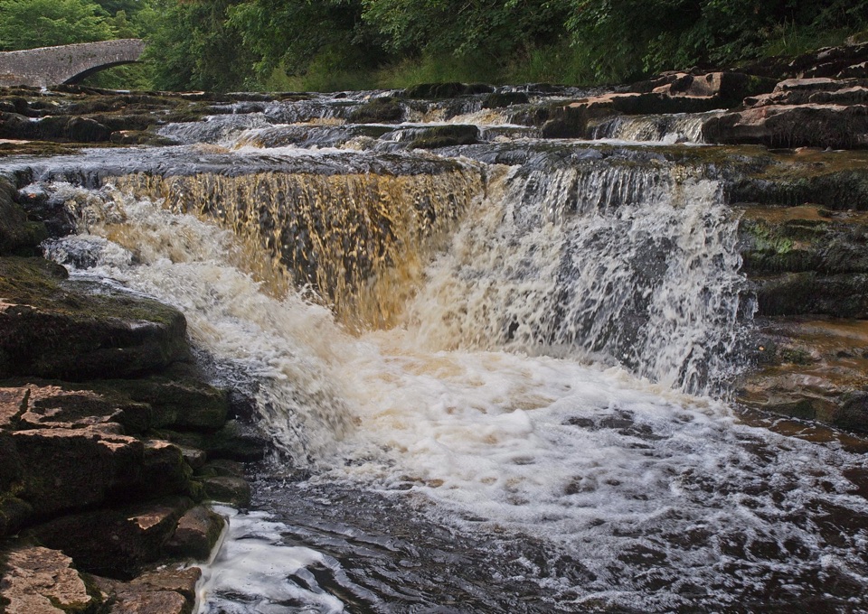 ModerateStainforth Audio Trail6.8 km · 1.8 hr · 3.7 km awayLimestone falls, riverside path and a stone village on an easy loop
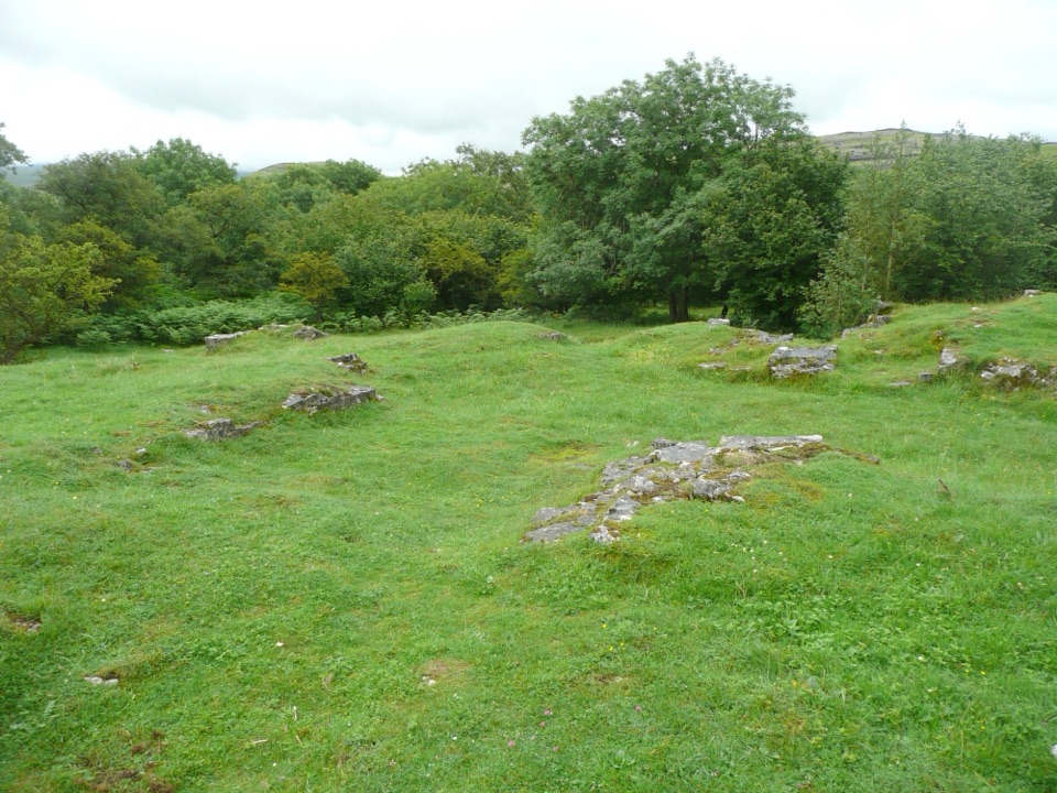 EasyWharfe Wood Trail1.6 km · 30 min · 6.1 km awayShort limestone woodland walk with spring bluebells and open Dales views
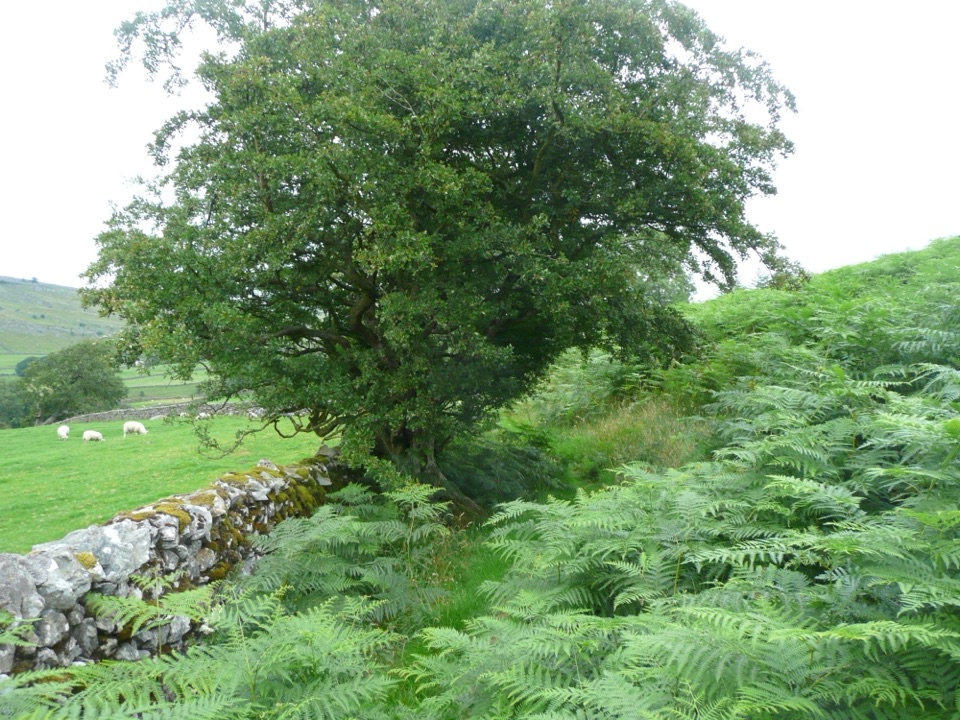 EasyOxenber Wood Trail1.1 km · 30 min · 6.4 km awayBluebell woods and old quarry ground on a half-mile point-to-point
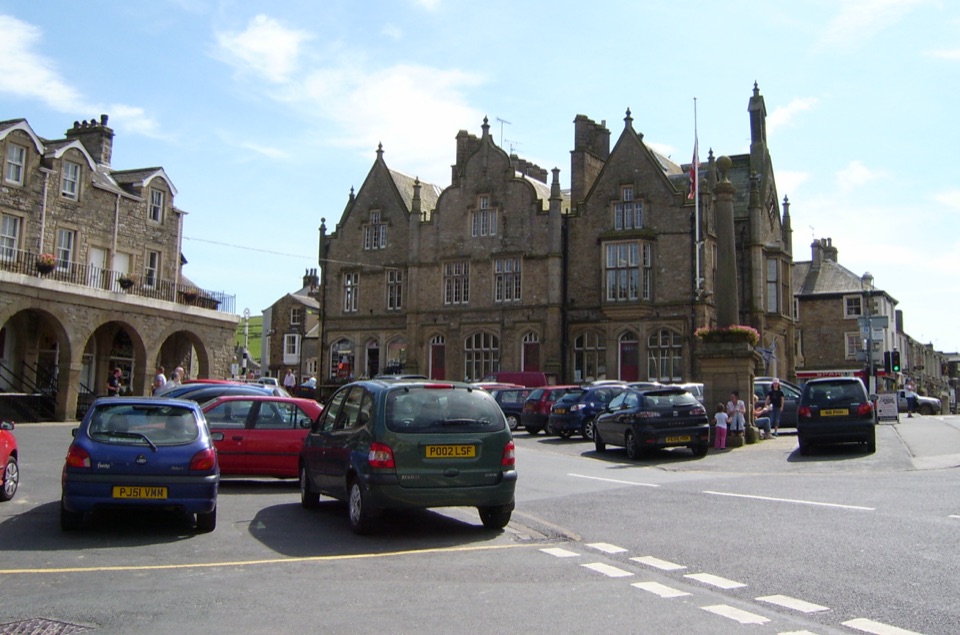 Sight · At the trailheadSettleStone market town under limestone scars, with alleys, cafes and trains
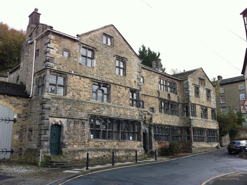 Sight · 0.2 km awayMuseum of North Craven Life at The FollyA 1679 townhouse telling North Craven's story, from parlours to viaducts
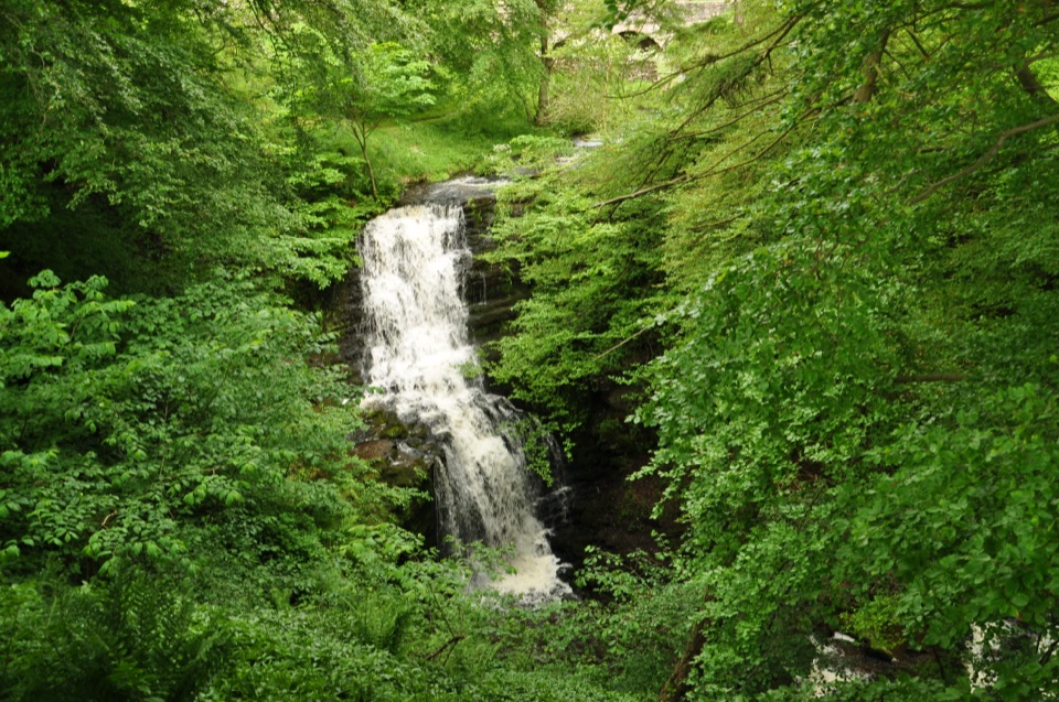 Sight · 2.3 km awayScaleber ForceTwelve metres of limestone cascade hidden in a mossy roadside gorge
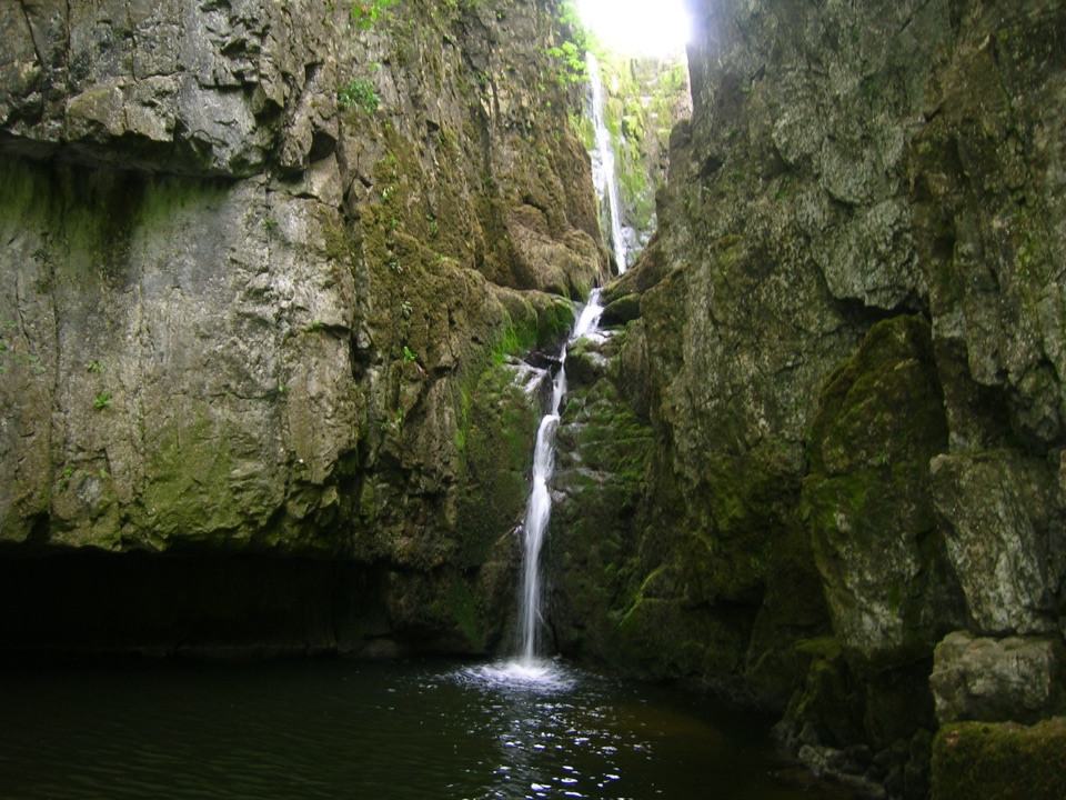 Sight · 3.6 km awayCatrigg ForceMulti-drop cascade hidden in a mossy limestone gorge above Stainforth
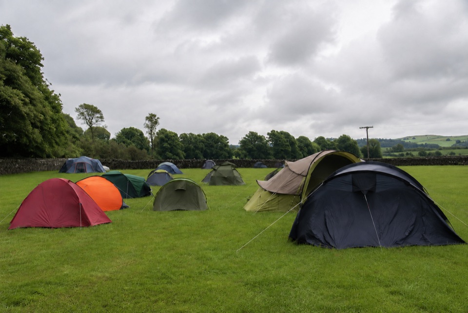 Campground · 6.9 km awayThe Dalesbridge Campsite and CabinsTen-acre camping base for the Three Peaks, with bar and pizza
 Sight · 7.8 km awayMalham CoveA curving white limestone cliff with a fissured pavement on top
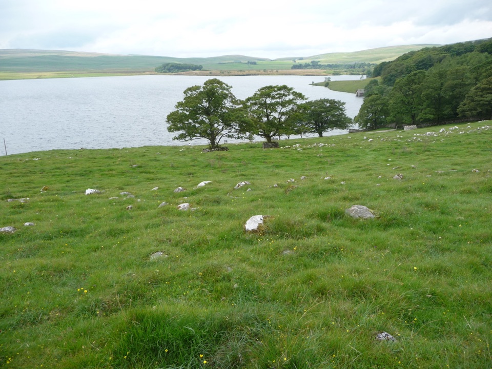 Sight · 7.9 km awayMalham TarnA glacier-made lime-rich lake ringed by bog, boardwalk and birds
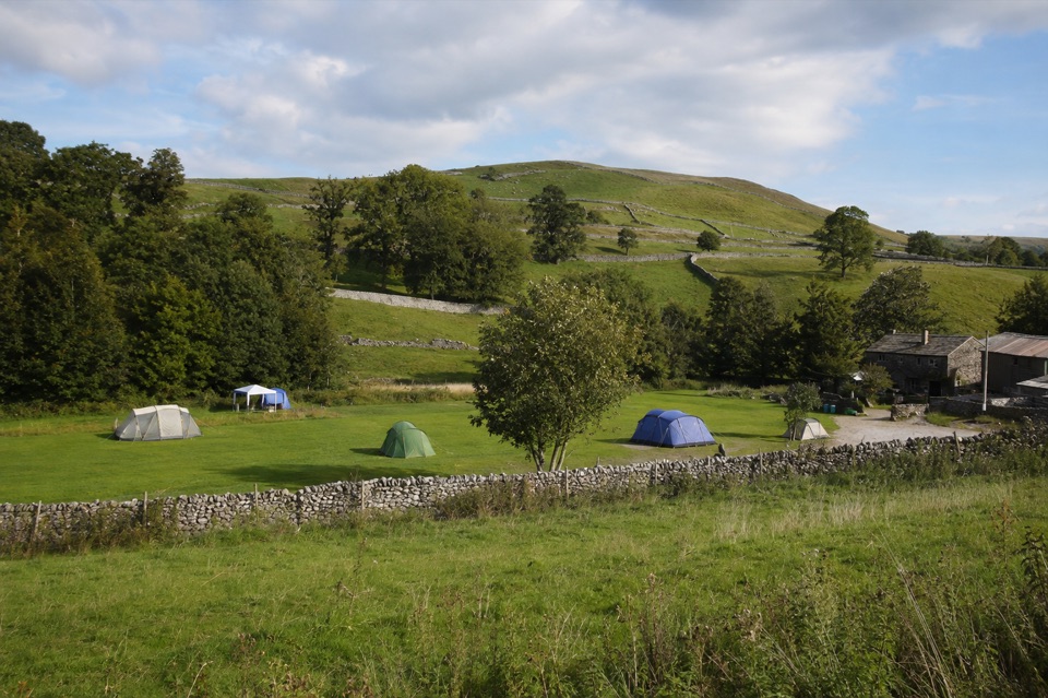 Campground · 7.9 km awayRiverside Campsite MalhamTent camping beside Malham Beck, a field away from the Cove
Parkwolf’s Yorkshire Dales ranking

The audio tour guide for the drive, plus offline maps, trails, and wildlife heatmaps for when the signal drops.





