Parking
Settle railway station is the recognised start and finish. Arriving by train is straightforward; drivers should use signed town parking and arrange overnight parking directly with their accommodation.
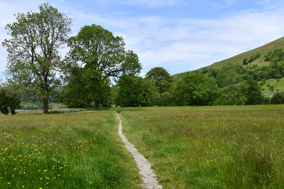
Yorkshire Dales National Park, EN
18-day loop from Settle to Hadrian's Wall and back through the dales
Overview
Map & elevation
Plan your hike

The highest, rockiest slopes around here are a summer buffet for grizzly bears.
Yorkshire Dales Tour Guide
Parkwolf is a GPS audio tour guide for Yorkshire Dales National Park. As you drive, it chimes in with what’s ahead: hidden gems, upcoming stops, history, geology, and wildlife, right through your car’s speakers.
Recorded for this area
Settle and Attermire Scar“You're approaching Settle, a compact market town with stone lanes and courtyards around its square. Its market charter dates to 1249, and the square still hosts a Tuesday market.”
Plays on the road 0.3 km from the trailhead in the Parkwolf Yorkshire Dales Tour Guide.
More stories near here in the app
“Fantastic app with many points of information… It’s great to just turn on while you’re driving and it gives you an audio tour of the national Park. We love it!!!!”


Trail guide
A closed circular walk of 247 miles (398 km) that starts and finishes at Settle railway station in North Yorkshire, split into 18 stages. Distances follow the official 247 mile / 398 km convention, and mapped tracks for all 18 stages come out at roughly 398 km, so the figure is consistent. This is a multi day expedition, not a day walk.
The outward half heads north through limestone country around Horton-in-Ribblesdale and the Pen-y-ghent and Hull Pot area, over into upper Wharfedale at Buckden, past Semer Water and Askrigg, then down into Swaledale near Gunnerside. High moorland by Tan Hill leads to Bowes, the River Tees at Middleton-in-Teesdale, and Weardale at Westgate. From Blanchland and Hexham the route reaches the central section of Hadrian's Wall, including Housesteads, before turning south at Greenhead.
The return runs down the South Tyne to Alston, crosses the shoulder of Cross Fell, then follows the quieter Eden Valley through Milburn, Appleby and Kirkby Stephen. Garsdale Head, the Howgill fringes and Sedbergh give way to Dentdale, the flanks of Whernside and Ingleborough, and finally Ingleton and Settle. The shape is the point: two contrasting halves, a Roman frontier at the far end, and a return through dale country rather than a retrace.
Individual stages are graded from moderate to moderate with steep climbs, but the whole loop is hard. Plan for 18 walking days and roughly 110 to 130 hours of walking, with some long stages and repeated ascent and descent. Cumulative climb figures vary between sources and between route variants, so treat any single number with caution and judge by stage profiles instead.
Expect a mix of walled lanes, field paths, riverside tracks, stone flags and rough moorland. Boggy ground is common on the high crossings, and several sections are open and exposed with little shelter in wind or driving rain. Steep climbs and descents appear on both halves, and the wall section near Housesteads is a sustained switchback over crags.
The route is not waymarked as a whole, although stretches shared with national trails carry their own signs. Carry maps and a compass or GPS and be ready to navigate in poor visibility on the moors. Settle railway station is the natural start and finish, and the loop passes through villages along the way, but remote stretches need planning for food, water and daylight. No permit is needed for ordinary public rights of way, and normal land manager access rules apply.
Dogs are legally permitted on public rights of way. Sheep and cattle are present through much of the route and ground nesting birds use the moorland, so keep dogs under close control and on a lead where signs ask for it.
Walkers who know the Pennine Way will recognise several of the moorland crossings and the same northern terrain, but this loop gives more valley miles, more villages and a route that returns to its start without transport arrangements.
Wildlife
 10 sightingsEurasian OtterMost seen around 7 PMSighting map
 11 sightingsAtlantic SalmonMost seen around 7 AMSighting map
 12 sightingsShort-eared OwlMost seen around 7 PMSighting map
 22 sightingsWestern Barn OwlMost seen around 6 AMSighting map
 27 sightingsTawny OwlMost seen around 7 PMSighting map
 34 sightingsCommon KingfisherMost seen around 7 AMSighting map
Sighting maps show where each species has been reported across Yorkshire Dales. Wildlife moves, so no sighting is guaranteed.
Keep exploring
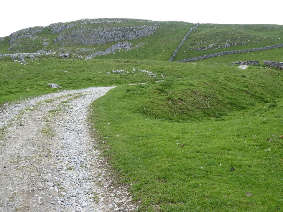 ModerateSettle and Attermire Scar6.4 km · 1.8 hr · 0.3 km awaySteep climb from town to limestone crags, caves and wide views
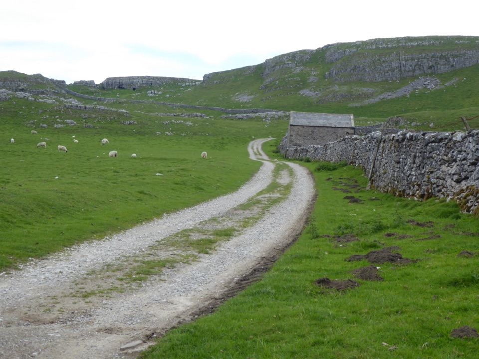 ChallengingSettle Loop16.1 km · 5 hr · 0.3 km awayTen steep limestone miles above Settle, with Three Peaks views
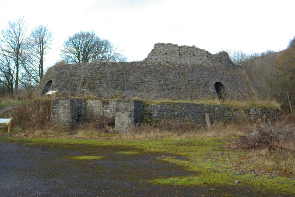 EasyCraven Lime Works Trail (Southern Loop)0.4 km · 24 min · 2.7 km awaySteps and stone kilns: a quarter-mile loop through quarry ruins
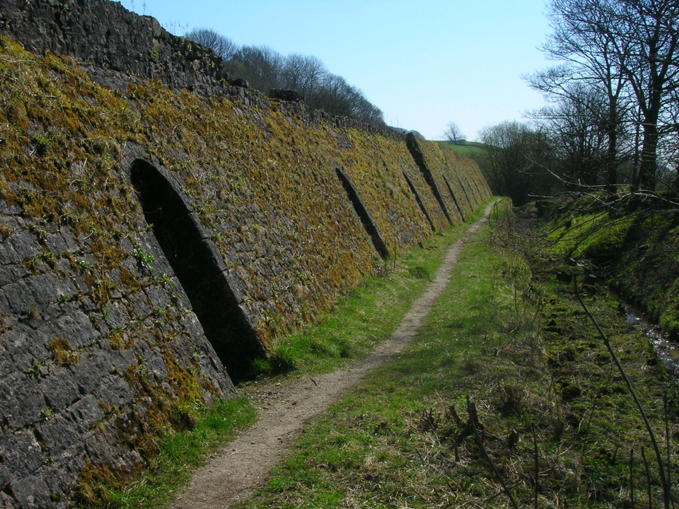 EasyCraven Lime Works Trail – Northern Loop0.7 km · 45 min · 2.8 km awayShort loop past an 1873 Hoffmann kiln, quarry cuts and woodland
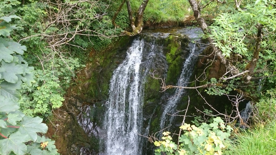 ModerateStainforth and Catrigg Force4.5 km · 1.5 hr · 3.8 km awayLimestone stairway climb to a quiet wooded waterfall above Ribblesdale
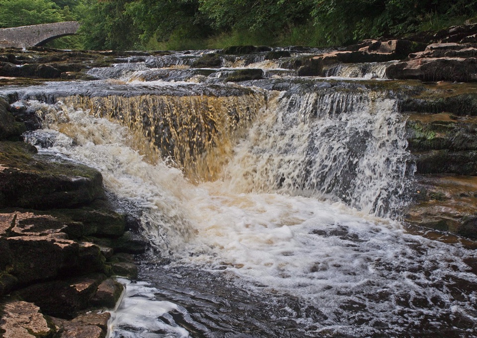 ModerateStainforth Audio Trail6.8 km · 1.8 hr · 3.8 km awayLimestone falls, riverside path and a stone village on an easy loop
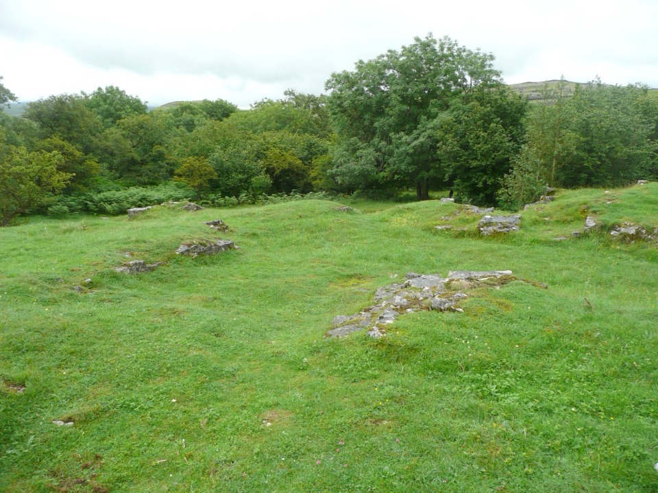 EasyWharfe Wood Trail1.6 km · 30 min · 6.1 km awayShort limestone woodland walk with spring bluebells and open Dales views
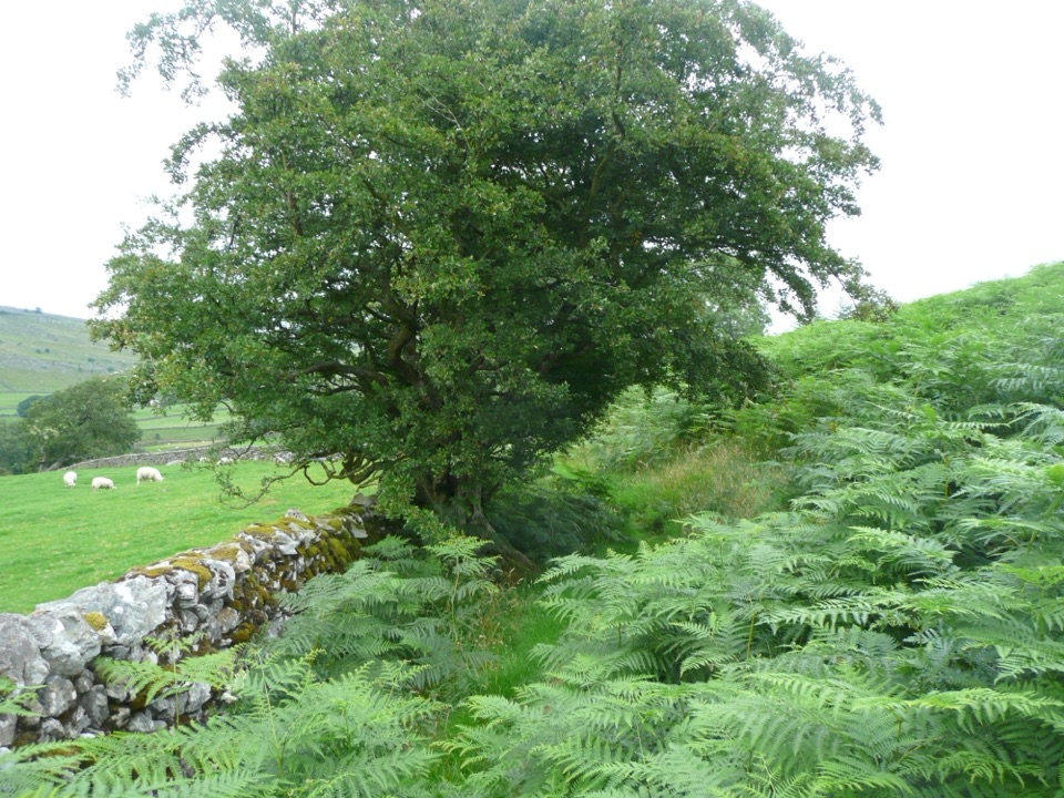 EasyOxenber Wood Trail1.1 km · 30 min · 6.4 km awayBluebell woods and old quarry ground on a half-mile point-to-point
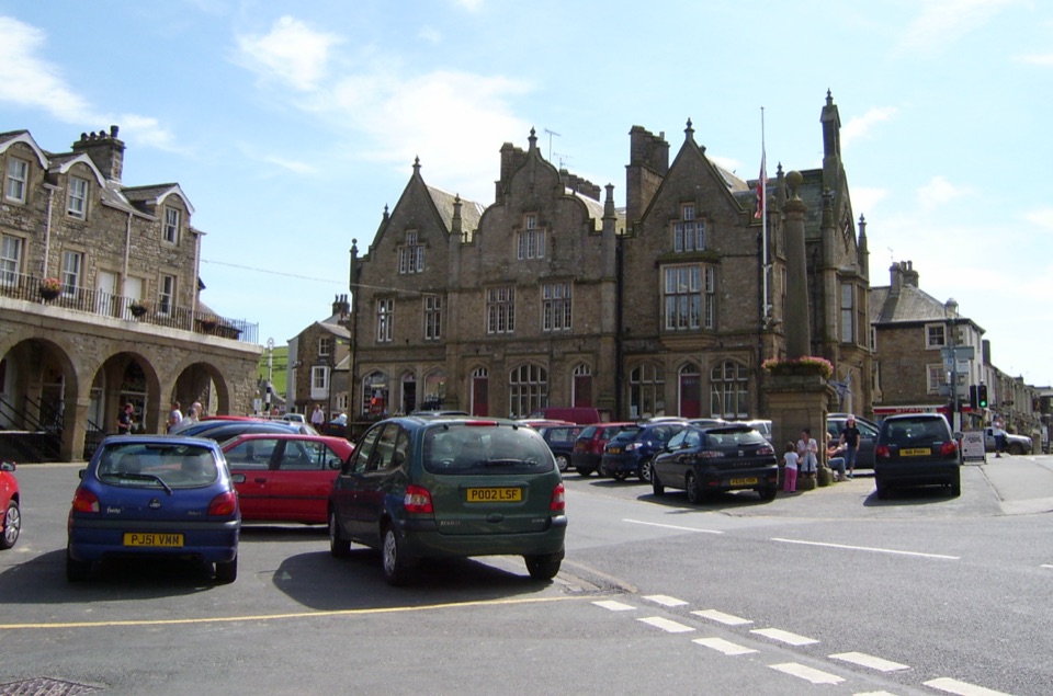 Sight · 0.4 km awaySettleStone market town under limestone scars, with alleys, cafes and trains
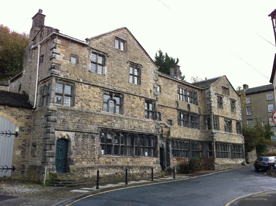 Sight · 0.4 km awayMuseum of North Craven Life at The FollyA 1679 townhouse telling North Craven's story, from parlours to viaducts
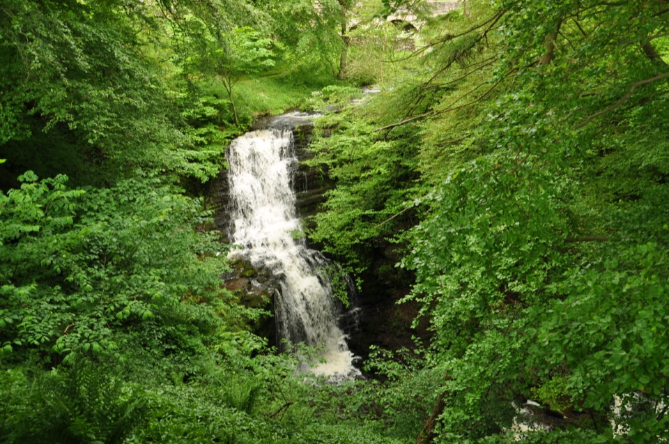 Sight · 2.5 km awayScaleber ForceTwelve metres of limestone cascade hidden in a mossy roadside gorge
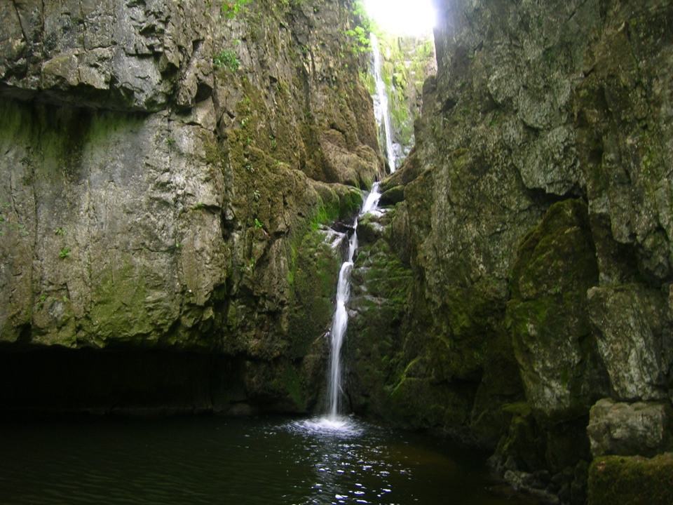 Sight · 3.9 km awayCatrigg ForceMulti-drop cascade hidden in a mossy limestone gorge above Stainforth
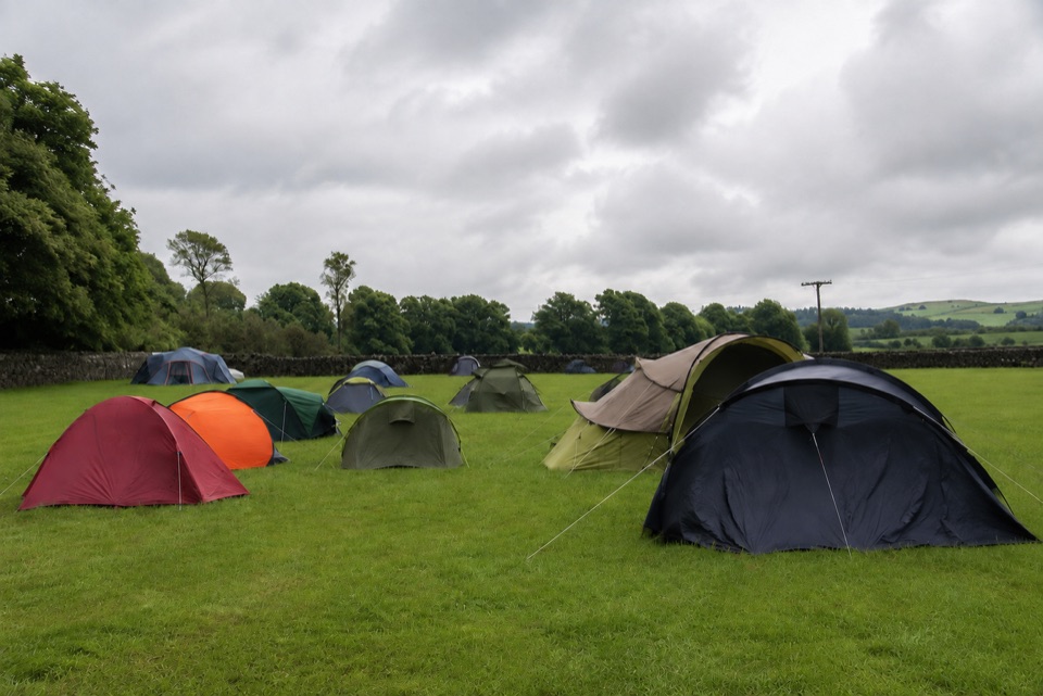 Campground · 6.8 km awayThe Dalesbridge Campsite and CabinsTen-acre camping base for the Three Peaks, with bar and pizza
 Sight · 8 km awayMalham CoveA curving white limestone cliff with a fissured pavement on top
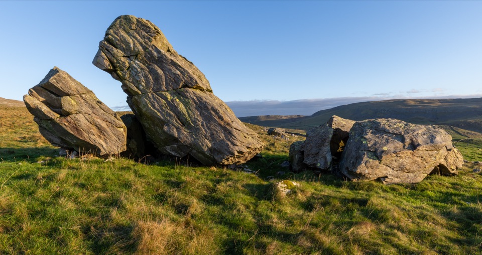 Sight · 8.1 km awayNorber ErraticsIce age boulders perched on pale limestone above a quiet dale
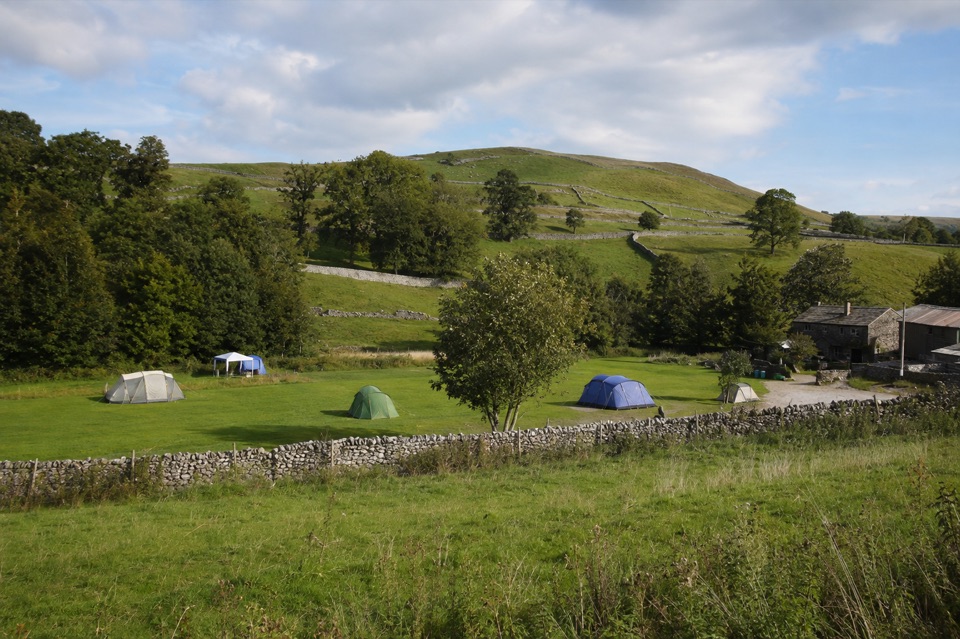 Campground · 8.2 km awayRiverside Campsite MalhamTent camping beside Malham Beck, a field away from the Cove
Parkwolf’s Yorkshire Dales ranking

The audio tour guide for the drive, plus offline maps, trails, and wildlife heatmaps for when the signal drops.





