Parking
Use the signed car park at the Langcliffe Quarry Enterprise Centre on Hoffmann Kiln Road, reached from the B6479 by the lane beneath the Settle to Carlisle railway. Follow site signs and do not obstruct enterprise-centre access.
Yorkshire Dales National Park, EN
Short loop past an 1873 Hoffmann kiln, quarry cuts and woodland
Overview
Map & elevation
Plan your hike

The highest, rockiest slopes around here are a summer buffet for grizzly bears.
Yorkshire Dales Tour Guide
Parkwolf is a GPS audio tour guide for Yorkshire Dales National Park. As you drive, it chimes in with what’s ahead: hidden gems, upcoming stops, history, geology, and wildlife, right through your car’s speakers.
Recorded for this trailhead
Craven Lime Works“You're approaching the signed access to Craven Lime Works at Langcliffe Quarry.”
Plays as you drive up to this trailhead in the Parkwolf Yorkshire Dales Tour Guide.
More stories near here in the app
“Fantastic app with many points of information… It’s great to just turn on while you’re driving and it gives you an audio tour of the national Park. We love it!!!!”


Trail guide
This is a closed loop of about 0.4 miles (0.67 km) around the former Craven Lime Works at Langcliffe Quarry, and it takes roughly 45 minutes if you actually stop and read the interpretation boards. Treat it as a heritage explore rather than a countryside hike: you can walk the whole thing in the time it takes to drink a flask of tea, and the interest is in the structures, not the mileage.
From the signed site access, a short approach brings you to the limeworks remains, then footways lead you around the northern side of the site. There are steps, a loop along a quarry and wooded edge, and a short out and back spur to a northern access junction before you return to the same start point. Ground rises from around 188 m at the valley-floor start to about 231 m on the higher northern quarry edge, so there is a little climb packed into a small distance.
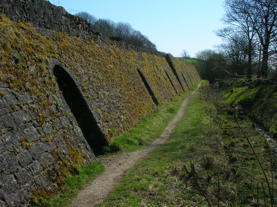
The site is a Scheduled Monument, and it shows. Highlights along or beside the route:
The combination is genuinely atmospheric: huge industrial architecture going quiet under trees, with signboards to explain what burned where.
Easy overall, about 3 out of 10, but not step-free. Paths are mostly unpaved, with uneven limestone and grass, a set of steps, and sections that hold damp or mud after rain. Sensible shoes make it far more pleasant. We would not describe this as an accessible route.
Use the signed car park at the Langcliffe Quarry Enterprise Centre on Hoffmann Kiln Road, reached from the B6479 along the lane that ducks under the Settle to Carlisle railway. This is a working enterprise-centre setting as well as a heritage site, so follow the signs on the ground and do not block business access.
Dogs are welcome on this public walking route. Keep them on a lead or under close control, especially near the quarry edges and structures, use a short lead from March through July for ground-nesting birds, and stay on the paths around limestone hazards.
It is short. If you have driven a distance for a day out, this loop alone will not fill it, and the steps and uneven ground make the route a poor fit for buggies and many wheelchair users. The industrial edges and old structures need proper supervision with children. If you want a longer day that still takes in the kiln, the separate Stainforth Force and Hoffman Kiln circular is a distinct walk of roughly 4 miles and pairs waterfall scenery with the same industrial heritage.
Wildlife
 10 sightingsEurasian OtterMost seen around 7 PMSighting map
 11 sightingsAtlantic SalmonMost seen around 7 AMSighting map
 12 sightingsShort-eared OwlMost seen around 7 PMSighting map
 22 sightingsWestern Barn OwlMost seen around 6 AMSighting map
 27 sightingsTawny OwlMost seen around 7 PMSighting map
 34 sightingsCommon KingfisherMost seen around 7 AMSighting map
Sighting maps show where each species has been reported across Yorkshire Dales. Wildlife moves, so no sighting is guaranteed.
Keep exploring
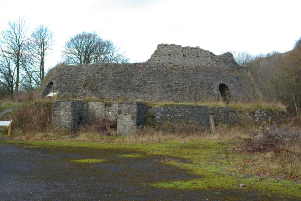 EasyCraven Lime Works Trail (Southern Loop)0.4 km · 24 min · 0.2 km awaySteps and stone kilns: a quarter-mile loop through quarry ruins
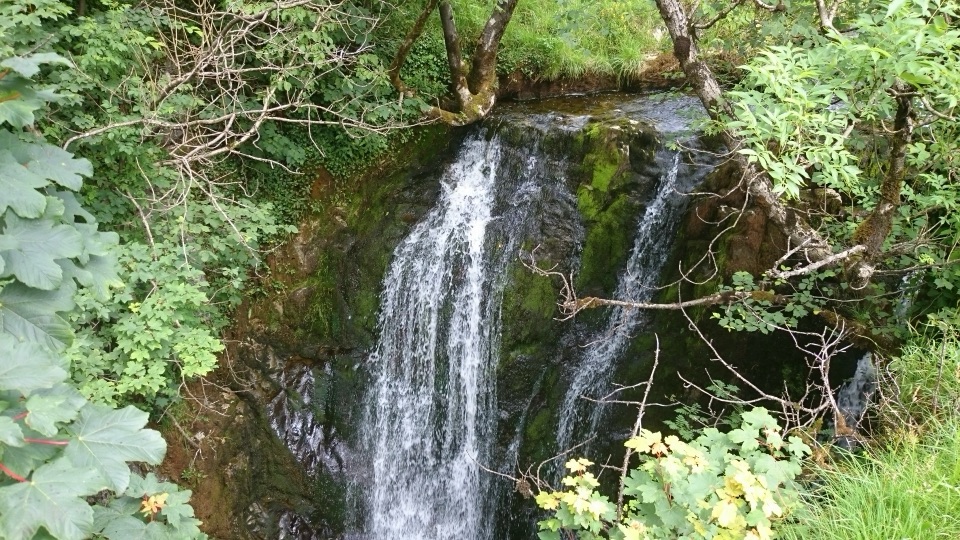 ModerateStainforth and Catrigg Force4.5 km · 1.5 hr · 1 km awayLimestone stairway climb to a quiet wooded waterfall above Ribblesdale
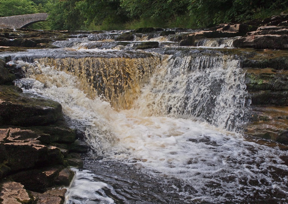 ModerateStainforth Audio Trail6.8 km · 1.8 hr · 1.2 km awayLimestone falls, riverside path and a stone village on an easy loop
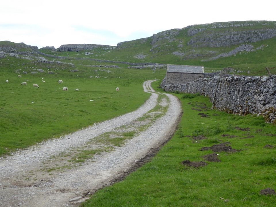 ChallengingSettle Loop16.1 km · 5 hr · 2.6 km awayTen steep limestone miles above Settle, with Three Peaks views
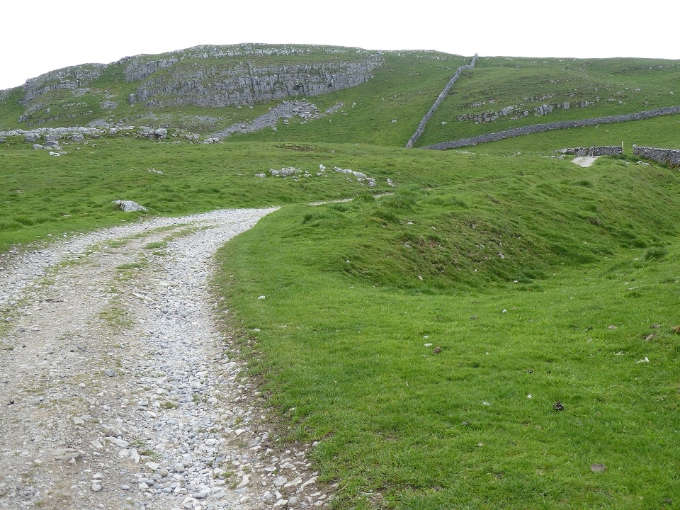 ModerateSettle and Attermire Scar6.4 km · 1.8 hr · 2.6 km awaySteep climb from town to limestone crags, caves and wide views
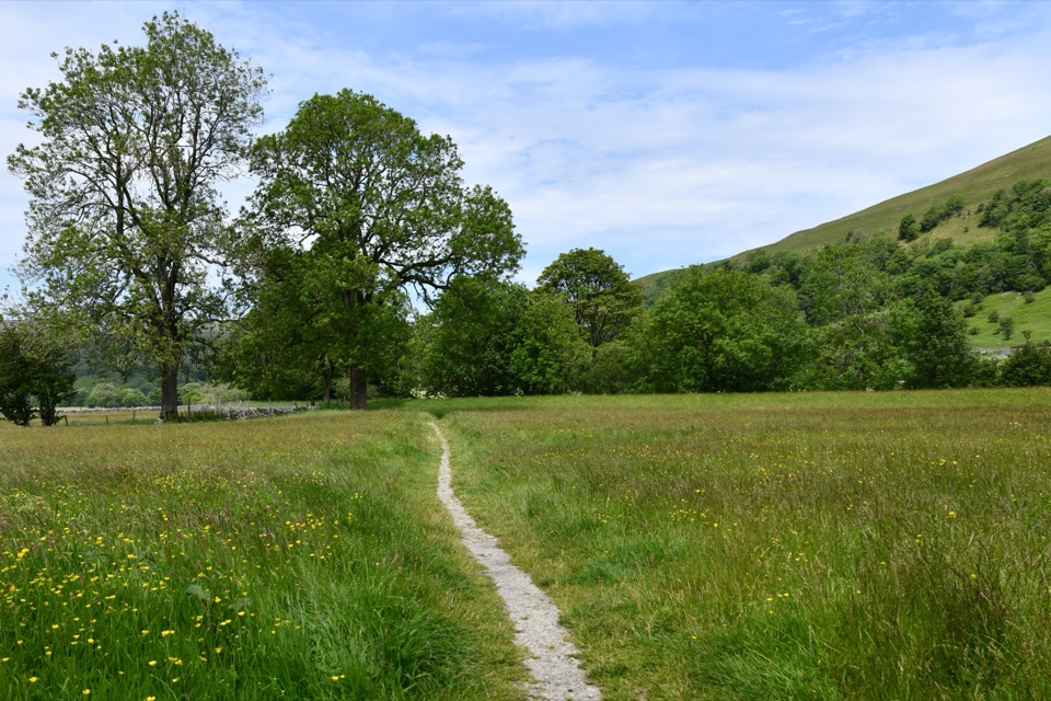 ChallengingWainwright's Pennine Journey397.5 km · 5 days · 2.8 km away18-day loop from Settle to Hadrian's Wall and back through the dales
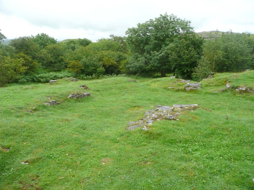 EasyWharfe Wood Trail1.6 km · 30 min · 4.6 km awayShort limestone woodland walk with spring bluebells and open Dales views
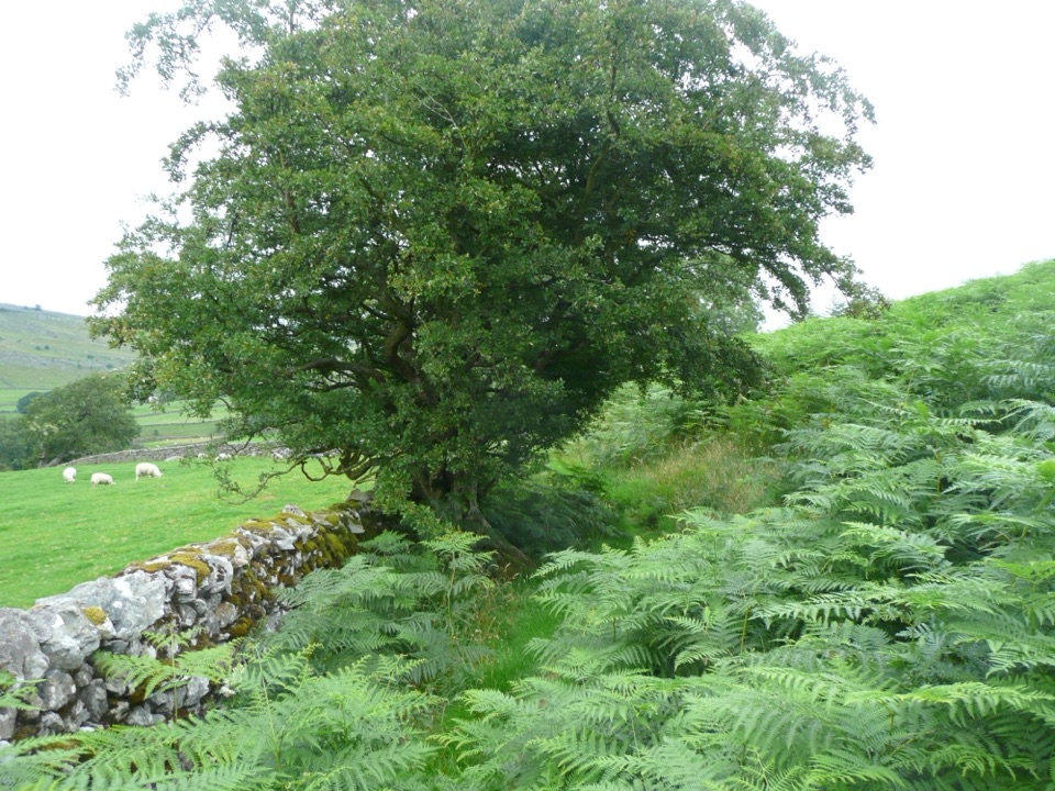 EasyOxenber Wood Trail1.1 km · 30 min · 5 km awayBluebell woods and old quarry ground on a half-mile point-to-point
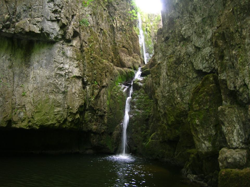 Sight · 1.2 km awayCatrigg ForceMulti-drop cascade hidden in a mossy limestone gorge above Stainforth
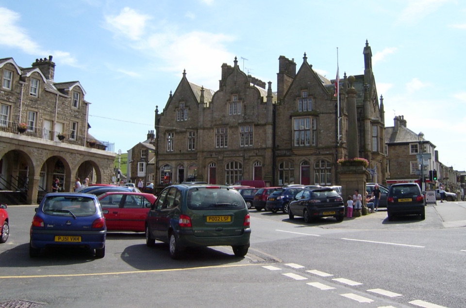 Sight · 2.6 km awaySettleStone market town under limestone scars, with alleys, cafes and trains
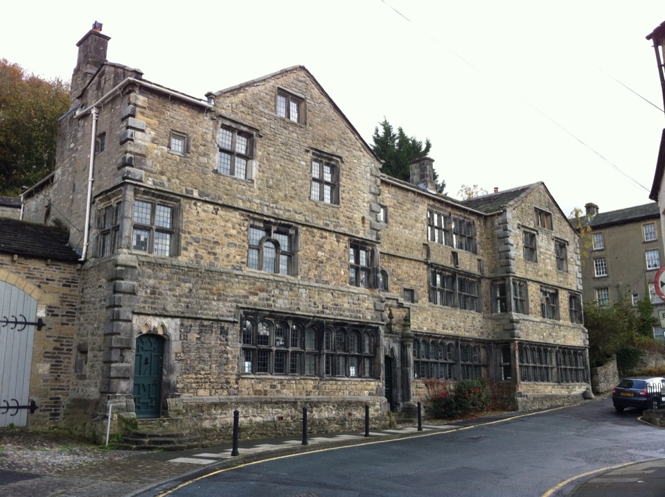 Sight · 2.7 km awayMuseum of North Craven Life at The FollyA 1679 townhouse telling North Craven's story, from parlours to viaducts
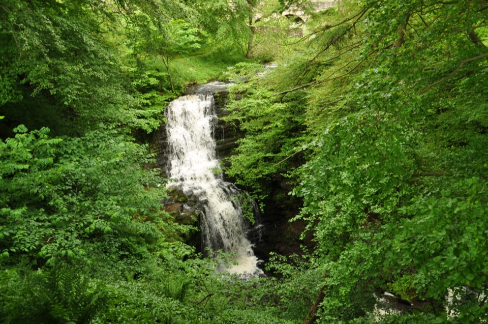 Sight · 4.1 km awayScaleber ForceTwelve metres of limestone cascade hidden in a mossy roadside gorge
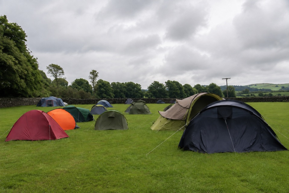 Campground · 6.2 km awayThe Dalesbridge Campsite and CabinsTen-acre camping base for the Three Peaks, with bar and pizza
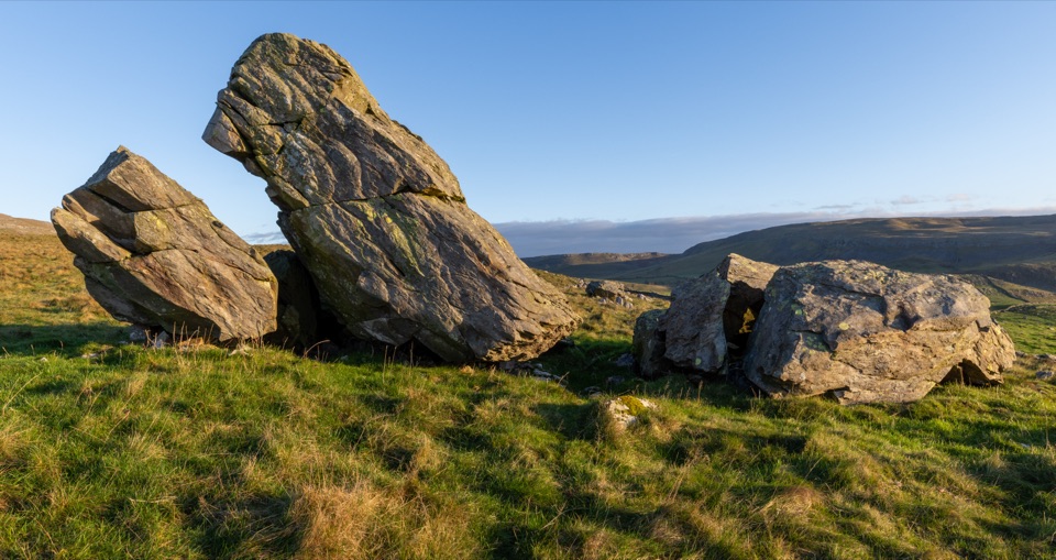 Sight · 6.7 km awayNorber ErraticsIce age boulders perched on pale limestone above a quiet dale
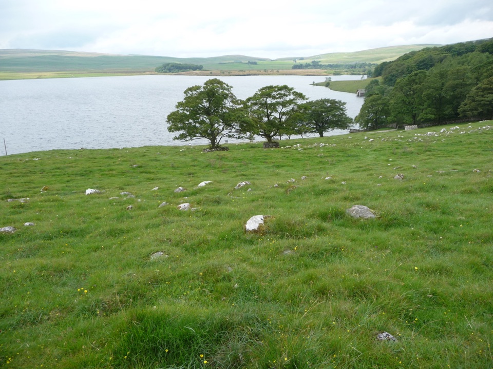 Sight · 7 km awayMalham TarnA glacier-made lime-rich lake ringed by bog, boardwalk and birds
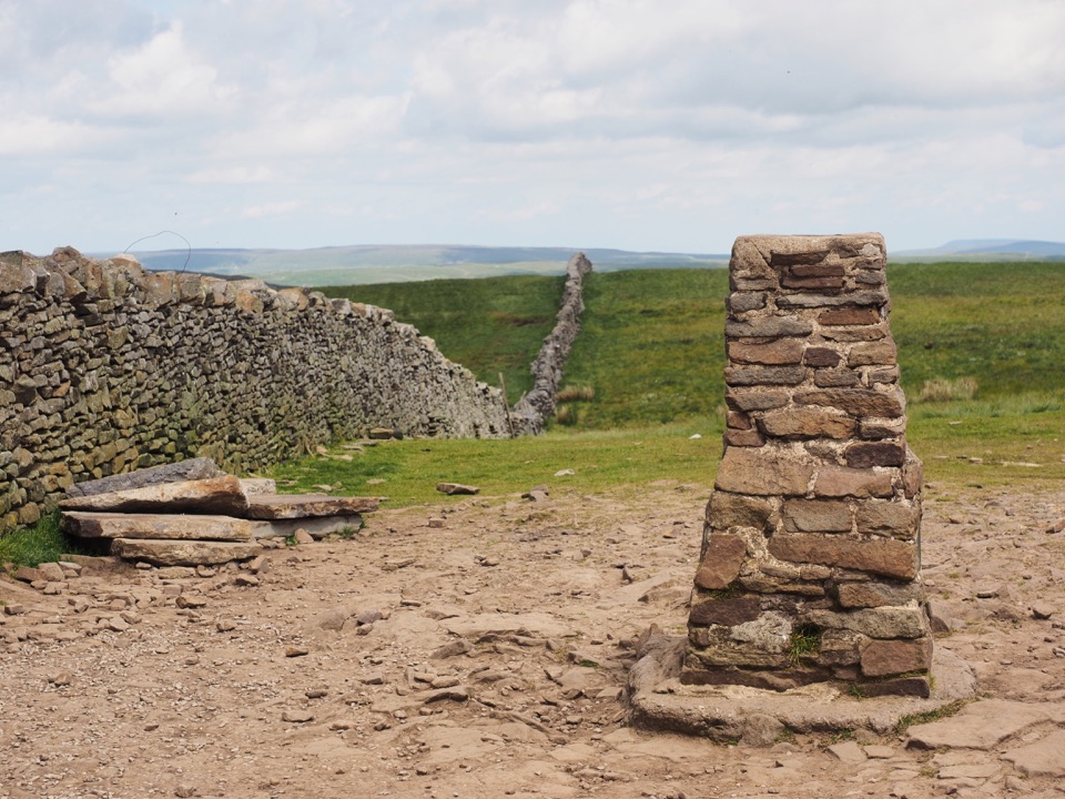 Sight · 7.2 km awayPen-y-ghent SummitStepped lion-shaped summit with a rocky scramble and huge Dales views
Parkwolf’s Yorkshire Dales ranking

The audio tour guide for the drive, plus offline maps, trails, and wildlife heatmaps for when the signal drops.





