Parking
Start at the upper Tunnel View lot east of Wawona Tunnel; rock steps on its east side climb to the Pohono Trail.
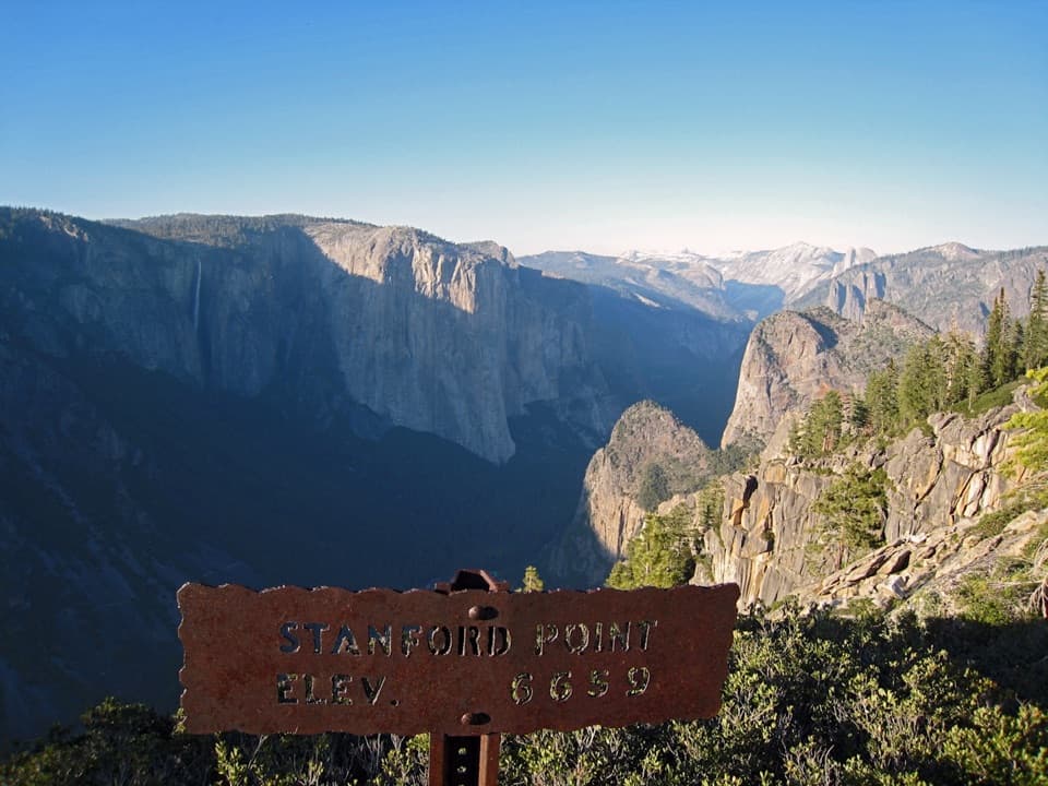
Yosemite National Park, CA
A steep south-rim climb ends at a granite valley overlook.
Overview
The Stanford Point hike is a 7.6-mile out-and-back from Tunnel View to the south-rim overlook and back. Allow about six hours for a long, steep climb with roughly 2,800 feet of total ascent. The route is rocky and switchbacked early; the view at Inspiration Point gives you a first look at Bridalveil Fall, but the trail keeps climbing through forest and exposed ground. Turn around at Stanford Point for this itinerary; Crocker Point lies farther along the Pohono Trail and makes a longer outing.
 Parkwolf’s verdictThe climb and the payoff
Map & elevation
Plan your hike

“You're approaching Tunnel View, where El Capitan, Bridalveil Fall and distant Half Dome share one view into the Valley.”
Yosemite Tour Guide
Parkwolf is a GPS audio tour guide for Yosemite National Park. As you drive, it chimes in with what’s ahead: hidden gems, upcoming stops, history, geology, and wildlife, right through your car’s speakers.
See the Yosemite audio tourRecorded for this trailhead
Tunnel View“You're approaching Tunnel View, where El Capitan, Bridalveil Fall and distant Half Dome share one view into the Valley.”
Plays as you drive up to this trailhead in the Parkwolf Yosemite Tour Guide.
More stories near here in the app
“We just drove through Yosemite and it made our trip listening to this app as we drove through. Like having a tour guide in the car with you.”


Trail guide
Start from the upper lot east of Wawona Tunnel. Rock steps on the east side join the Pohono Trail. The first stretch climbs steeply on uneven rock toward Inspiration Point. At the old Wawona Stage Road crossing, follow the Pohono signs; leaf litter can hide the tread and make the descent slippery in fall.
Beyond Inspiration Point, the path winds through mixed pine forest and exposed sections, passing Old Inspiration Point before crossing Meadow Brook near Stanford Point. Unbridged crossings on the Pohono Trail can run high in late spring and early summer. Snow and ice can cover or obscure the tread in winter and spring. Pets and bicycles are not allowed on Yosemite hiking trails.
The granite overlook opens across Yosemite Valley to El Capitan, Half Dome and the Merced River. The rust-colored Stanford Point sign makes a strong foreground for a valley view; keep back from the exposed edge. Return by the same route.
The approach crosses the old Wawona Stage Road, built around 1875 as a toll road between Wawona and Yosemite Valley. Wawona Tunnel opened in 1933 after a 29-month project that blasted through more than 4,200 feet of granite.
Wildlife
 732 sightingsBlack BearMost seen around 7 PMSighting map
 1,747 sightingsMule DeerMost seen around 6 PMSighting map
 332 sightingsCoyoteMost seen around 7 PMSighting map
 11 sightingsPeregrine FalconMost seen around 8 AMSighting map
 276 sightingsPikaMost seen around 8 AMSighting map
 677 sightingsYellow-bellied MarmotMost seen around 8 AMSighting map
Sighting maps show where each species has been reported across Yosemite. Wildlife moves, so no sighting is guaranteed.
Keep exploring
 ModerateInspiration Point Trail2.6 mi · 2 hr · At the trailheadA steep climb to a quieter Yosemite Valley viewpoint
 ModerateArtist Point Trail2.2 mi · 1.5 hr · At the trailheadA quieter perch beyond Tunnel View, reached along the old stagecoach road.
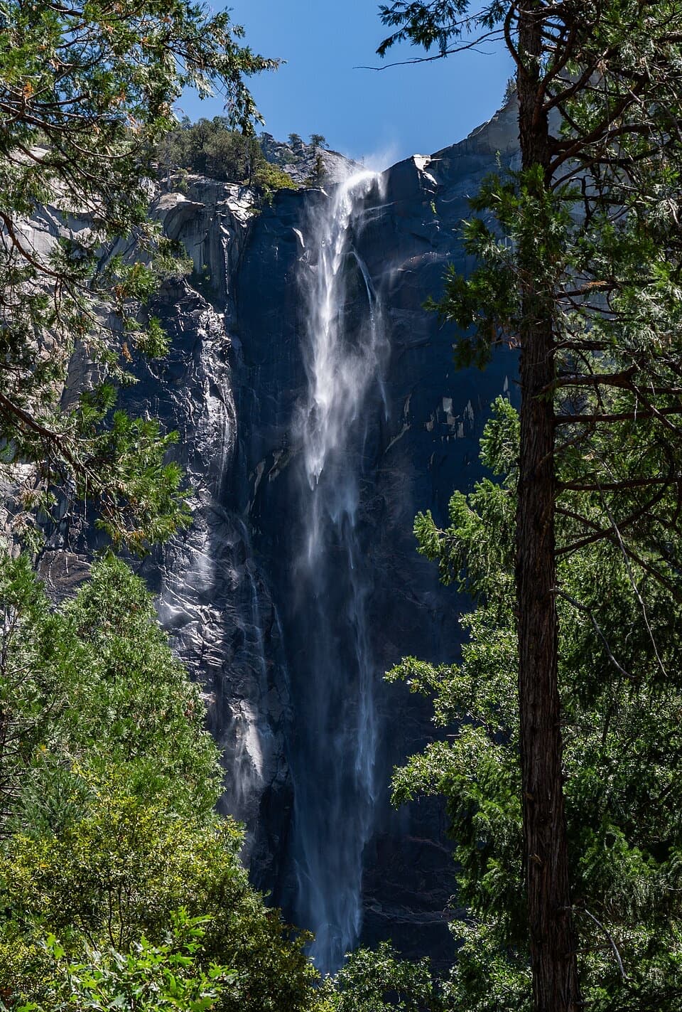 EasyBridalveil Fall Trail0.5 mi · 20 min · 1.4 mi awayA short paved walk to the base of Bridalveil Fall.
 EasyTurtleback Dome Trail1.2 mi · 1 hr · 1.8 mi awayA short climb ends on granite above Yosemite Valley.
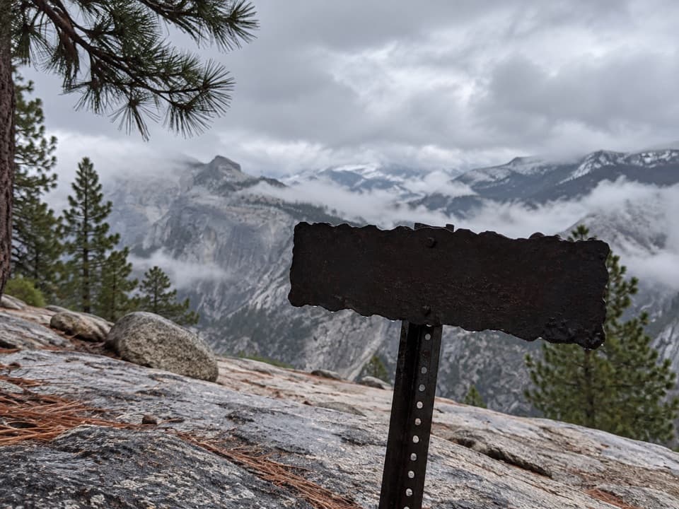 ChallengingFull North Rim Traverse29.1 mi · 17 hr · 3.3 mi awayCross four granite summits on a true North Rim traverse.
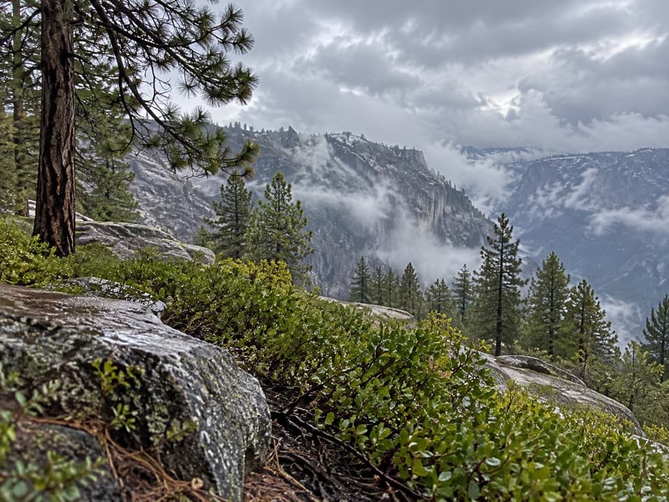 ChallengingEl Capitan from Tamarack Creek16 mi · 10 hr · 4 mi awayA long forest climb to El Capitan's broad summit views.
 ChallengingTamarack Flat to Yosemite Valley Trail17 mi · 10.5 hr · 4 mi awayCross the north rim, then descend Yosemite Falls to the Valley.
 ModerateCascade Creek Trail from Tamarack Flat4.4 mi · 2.3 hr · 4.1 mi awayAn old forest road ends at a footbridge and small cascades.
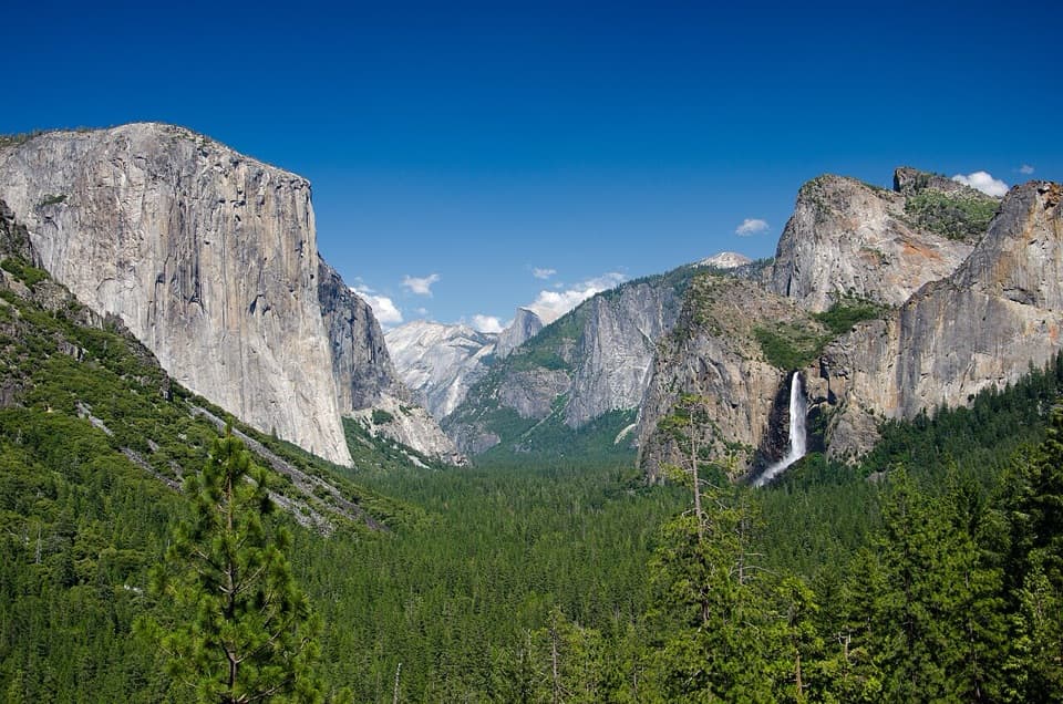 Sight · At the trailheadTunnel ViewThe valley opens in one huge panorama beyond the tunnel.
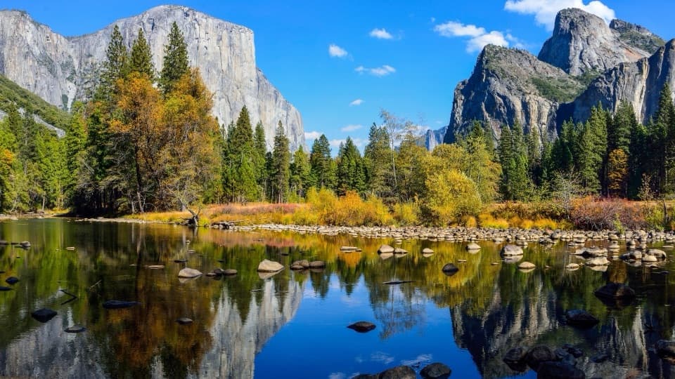 Sight · 0.8 mi awayValley ViewGranite cliffs and Bridalveil Fall framed across the Merced River.
 Sight · 1.6 mi awayBridalveil FallA 620-foot fall up close, with a short paved approach.
 Sight · 1.6 mi awayDewey PointEl Capitan anchors a far-reaching view from the granite rim.
 Picnic area · 2.1 mi awayThe Cascades Picnic AreaA shady lunch stop with a waterfall just across the road.
 Sight · 2.3 mi awayEl Capitan MeadowA 3,000-foot wall, dotted with tiny climbers.
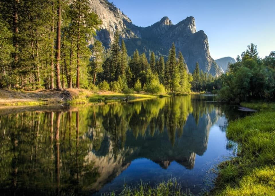 Beach · 2.9 mi awayCathedral BeachA shaded picnic with El Capitan reflected in the Merced.
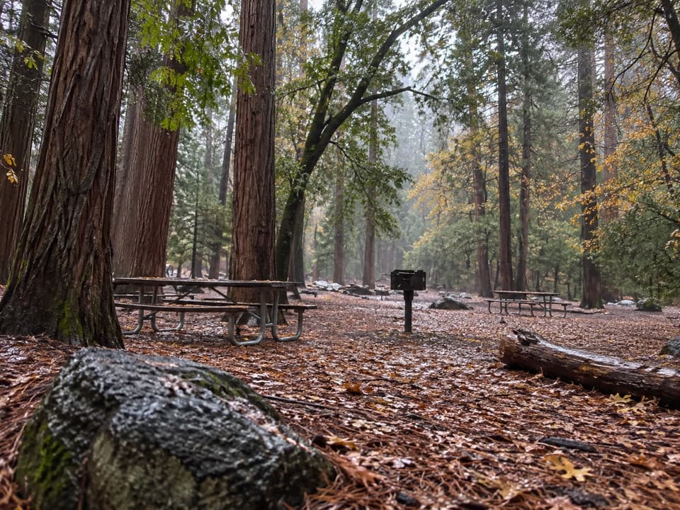 Picnic area · 3.2 mi awayEl Capitan Picnic AreaPicnic tables and February access to Horsetail Fall’s elusive glow.
Parkwolf’s Yosemite ranking
The audio tour guide for the drive, plus offline maps, trails, and wildlife heatmaps for when the signal drops.





