Turtleback Dome Trail in Yosemite National Park

Yosemite National Park, CA

Turtleback Dome Trail

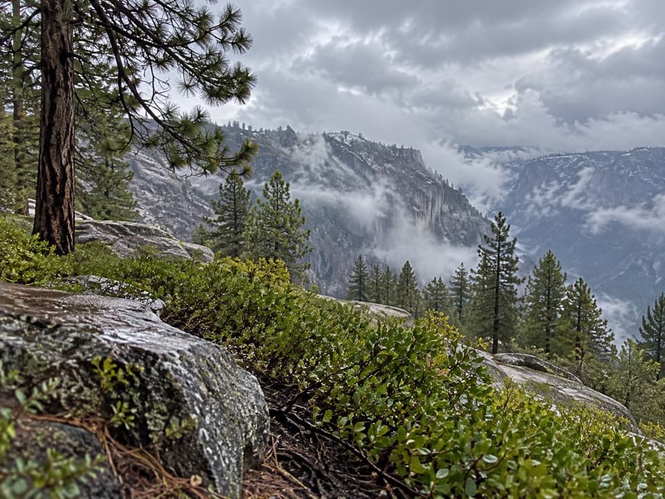
A short climb ends on granite above Yosemite Valley.

Photo: National Park Service
Length
1.2mi
Time
1hr
Elev. change
361ft
Difficulty
Easy
  • No dogs
  • High point 5,262 ft

Hear the audio tour

A Bat You Can Hear

Overview

About Turtleback Dome Trail

Why go

  • A short climb reaches views both east and west
  • Most of the ascent follows a graded service road

Heads up

  • Only a few exposed roadside parking spaces
  • Formal public access to the utility road is unconfirmed
Turtleback Dome Trail is a 1.2-mile out-and-back above Wawona Road, climbing about 350 feet to open granite with views toward Yosemite Valley and the Merced River canyon. Allow about an hour. It’s a quick, unusual viewpoint walk, but check with park staff before setting out: the route uses a gated utility service road, not a maintained NPS hiking trail, and formal public pedestrian access wasn’t confirmed.
Parkwolf’s verdictIs this one worth the detour?

Map & elevation

The route

Loading the Yosemite map
Full map
Elevation4,902–5,262 ft
TrailheadTurtleback Dome Service-Road Pullout on Wawona Road37.71107, -119.70882
Keep this map with you offline in the Parkwolf app

Plan your hike

Before you go

Parking

Use the small pullouts at the Turtleback Dome service-road junction on Wawona Road, about 2.1 miles south of Tunnel View. Visitor sources estimate space for two to four cars. Pull fully off the pavement and keep the gate clear; the access is easy to miss.

Safety

Public pedestrian access on the gated service road has not been confirmed by the park; check with a ranger before entering. Parking is limited beside Wawona Road, so do not stop unless fully off the pavement or block the service gate. Pets are prohibited on Yosemite trails.

4 active Yosemite alerts

  • ClosureDome Fire closes Glacier Point Road and trailsGlacier Point Road is temporarily closed because Dome Fire smoke reduces visibility and to allow firefighting operations; some trails south of the road are also closed.Official details
  • CautionMist Trail access limited during October repairsThe Mist Trail between its John Muir Trail junction above the Vernal Fall footbridge and the top of Vernal Fall has limited access through October for repair work.Official details
See all 4 alerts
The Parkwolf Tour Guide on a dash-mounted phone, driving into Yosemite Valley

“Some of Yosemite's bats make hunting calls that people can hear. Most bat echolocation is too high-pitched for human ears, but the spotted bat is one exception.”

Yosemite Tour Guide

Yosemite, narrated.

Parkwolf is a GPS audio tour guide for Yosemite National Park. As you drive, it chimes in with what’s ahead: hidden gems, upcoming stops, history, geology, and wildlife, right through your car’s speakers.

See the Yosemite audio tour

Recorded for this area

A Bat You Can Hear
0:00 / 0:30
“Some of Yosemite's bats make hunting calls that people can hear. Most bat echolocation is too high-pitched for human ears, but the spotted bat is one exception.”

Plays on the road 0.5 mi from the trailhead in the Parkwolf Yosemite Tour Guide.

More stories near here in the app

  • Water Beneath the Meadow
  • The Train to El Portal
  • The Cascades Picnic Area
  • Watch for the Pounce
  • 125 audio storiesacross Yosemite’s roads, triggered by GPS as you drive
  • Wildlife heatmapsfor Black Bear, Peregrine Falcon, Mule Deer, and 13 more
  • Works offlinemaps, 141 trails, 99 places, and audio download before you lose signal
  • CarPlay readysimple controls built for the drive
★★★★★
“We just drove through Yosemite and it made our trip listening to this app as we drove through. Like having a tour guide in the car with you.”
Roddy 3210App Store review
Download Parkwolf on the App StoreGet Parkwolf on Google Play

4.7 from 8,600+ ratings

Trail guide

Hiking Turtleback Dome Trail

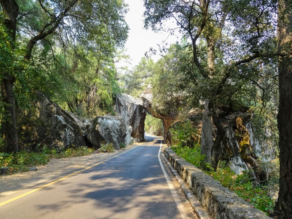
Get past the first shedsThe mostly paved or graded service road climbs steadily from the roadside access.

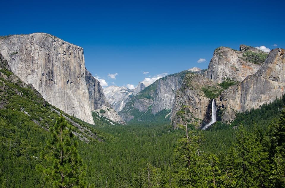
The mostly paved or graded service road climbs steadily from the roadside access. The first group of sheds marks the end of the road, not the best view. A short, informal footpath continues behind a large boulder and through trees to another group of structures and the bare granite viewpoint. Stay on the worn line. From the slabs, look east for a distant, partly blocked view into Yosemite Valley, including El Capitan and Half Dome; west, the Merced River canyon runs toward the foothills. You can see the top of the Cascades to the north, but its base requires a separate boulder route and isn’t part of this hike.

Keep the dome intactShallow gravel pockets on the granite are home to rare Yosemite lewisia, which blooms after…

Shallow gravel pockets on the granite are home to rare Yosemite lewisia, which blooms after snowmelt. Keep to hard rock and established tread rather than crossing the pockets. The small Wawona Road pullouts fit only a few cars, are easy to miss, and sit beside fast traffic; use one only when fully off the pavement and leave the service gate clear. Yosemite prohibits pets on trails, so dogs can’t come along.

Wildlife

Wildlife in Yosemite

All Yosemite wildlife maps

Sighting maps show where each species has been reported across Yosemite. Wildlife moves, so no sighting is guaranteed.

Keep exploring

Near Turtleback Dome Trail

See it all on the map

Trails that start nearby

Places near the trailhead

Parkwolf’s Yosemite ranking

Top-rated trails in Yosemite

All 141 trails
  1. 1Half Dome TrailChallenging · 14.3 mi
  2. 2Clouds Rest TrailChallenging · 14 mi
  3. 3Nevada Fall Loop via Mist and John Muir TrailsChallenging · 6.4 mi
  4. 4Yosemite Falls TrailChallenging · 7.2 mi
  5. 5Panorama TrailChallenging · 8.2 mi
  6. 6Four Mile TrailChallenging · 4.8 mi

Take Parkwolf to Yosemite.

The audio tour guide for the drive, plus offline maps, trails, and wildlife heatmaps for when the signal drops.

4.7 from 8,600+ ratings

Download Parkwolf on the App StoreGet Parkwolf on Google Play