Taft Point in Yosemite National Park

Sight · Yosemite National Park

Taft Point

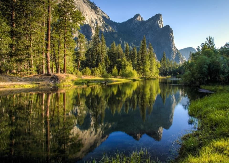
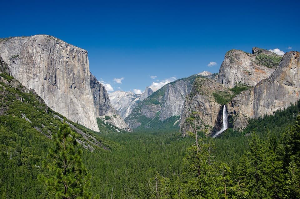
The short walk ends at a rim facing El Capitan.

Photo: CC BY-SA 2.0
Type
Sight
Nearest trail
1 mi
Audio stories
9 nearby
  • Trailhead
  • Parking
  • Restrooms
  • Scenic viewpoint
  • #17 of 52 sights

Hear the audio tour

Sentinel Dome and Taft Point

Overview

About Taft Point

Why stop

  • El Capitan and Yosemite Falls share the broad valley view.

Heads up

  • The exposed rim and deep fissures require care.

Map

Where it is

Loading the Yosemite map
Full map
SightTaft Point37.71311, -119.60461
Keep this map with you offline in the Parkwolf app

Plan your stop

Before you go

4 active Yosemite alerts

  • ClosureDome Fire closes Glacier Point Road and trailsMentions Glacier Point Road, referenced in this guideGlacier Point Road is temporarily closed because Dome Fire smoke reduces visibility and to allow firefighting operations; some trails south of the road are also closed.Official details
  • CautionMist Trail access limited during October repairsThe Mist Trail between its John Muir Trail junction above the Vernal Fall footbridge and the top of Vernal Fall has limited access through October for repair work.Official details

See all 4 alerts
The Parkwolf Tour Guide on a dash-mounted phone, driving into Yosemite Valley

“You're approaching the Sentinel Dome and Taft Point trailhead. My pick for a full-circle mountain view is Sentinel Dome: two miles round trip, with a steep final climb on bare granite.”

Yosemite Tour Guide

Yosemite, narrated.

Parkwolf is a GPS audio tour guide for Yosemite National Park. As you drive, it chimes in with what’s ahead: hidden gems, upcoming stops, history, geology, and wildlife, right through your car’s speakers.

See the Yosemite audio tour

Recorded for this place

Sentinel Dome and Taft Point
0:00 / 0:24
“You're approaching the Sentinel Dome and Taft Point trailhead. My pick for a full-circle mountain view is Sentinel Dome: two miles round trip, with a steep final climb on bare granite.”

Plays as you drive up to Taft Point in the Parkwolf Yosemite Tour Guide.

More stories near here in the app

  • Cathedral Beach
  • El Capitan Picnic Area and Horsetail Fall
  • Swinging Bridge and Four Mile Trail
  • Washburn Point
  • 125 audio storiesacross Yosemite’s roads, triggered by GPS as you drive
  • Wildlife heatmapsfor Black Bear, Peregrine Falcon, Mule Deer, and 13 more
  • Works offlinemaps, 141 trails, 99 places, and audio download before you lose signal
  • CarPlay readysimple controls built for the drive
★★★★★
“We just drove through Yosemite and it made our trip listening to this app as we drove through. Like having a tour guide in the car with you.”
Roddy 3210App Store review
Download Parkwolf on the App StoreGet Parkwolf on Google Play

4.7 from 8,600+ ratings

Guide

More about Taft Point

The rim at the end of a short walkA short, low-gain hike from Glacier Point Road reaches this granite rim above the south wall of…

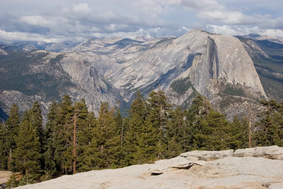
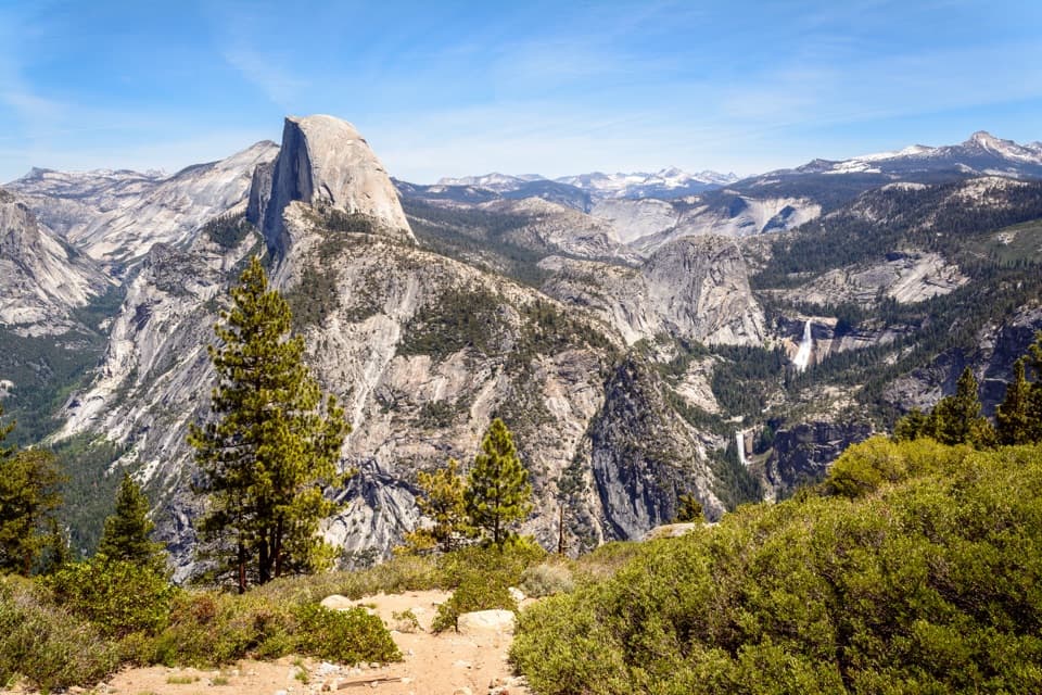
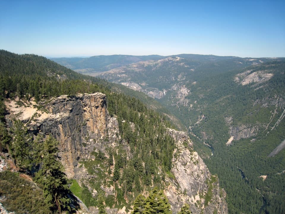
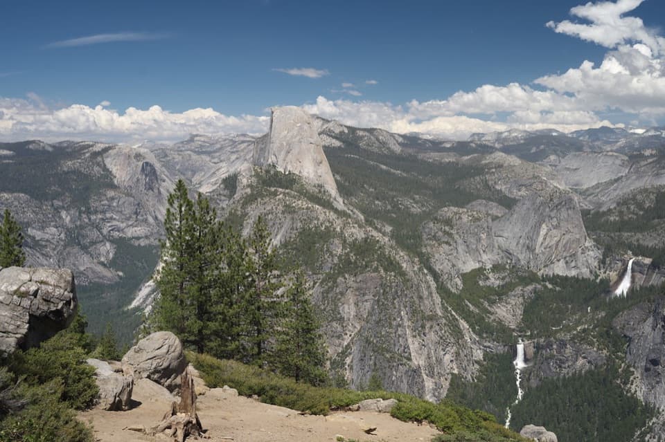
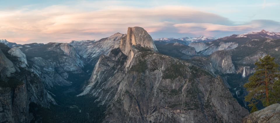
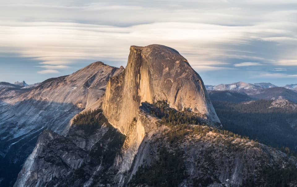
A short, low-gain hike from Glacier Point Road reaches this granite rim above the south wall of Yosemite Valley, known for its views of El Capitan and Yosemite Falls. The round trip is 2.2 miles and about one to two hours. The trail crosses forest and meadow, dropping about 200 feet toward the point before climbing back to the trailhead.

The last stretch is exposedThe wooded walk opens onto the rim and the nearby Fissures, narrow cracks in the granite.

The wooded walk opens onto the rim and the nearby Fissures, narrow cracks in the granite. The fractures include drops of up to 2,000 feet; keep well back from the edge and cracks, and keep children close. Both Taft Point and Sentinel Dome start at the same trailhead, and a longer loop can connect them by the Pohono Trail.

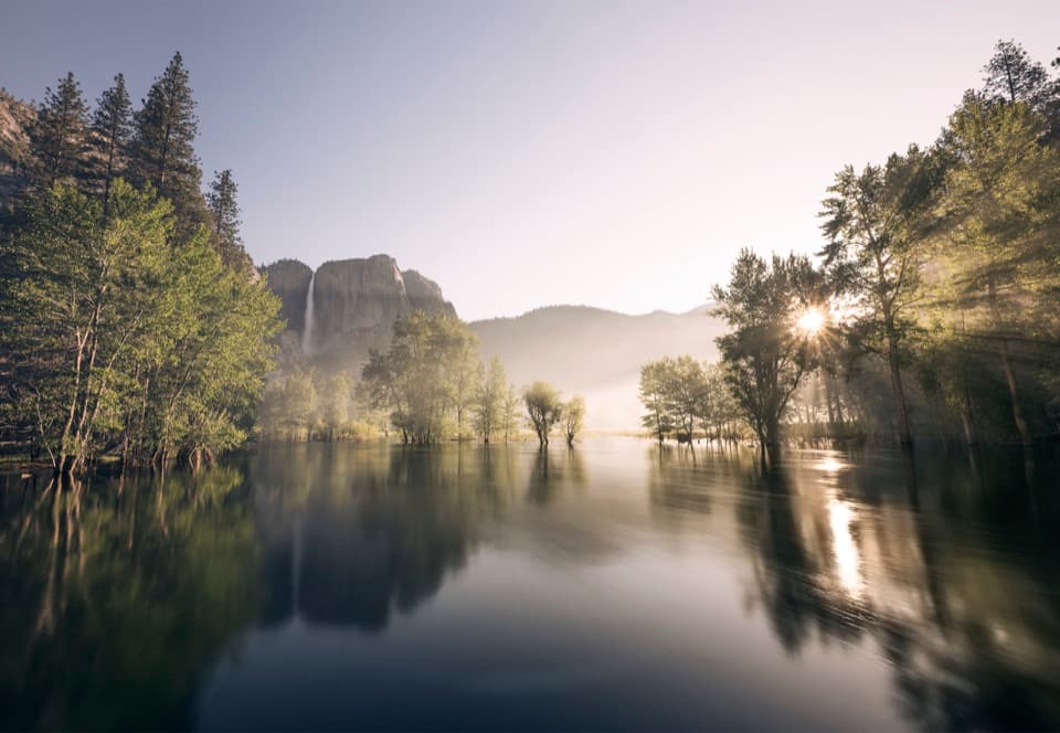
Look across the valleyFrom the rim, El Capitan and Yosemite Falls stand across Yosemite Valley.

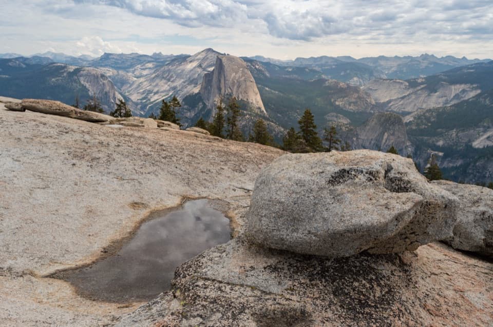
From the rim, El Capitan and Yosemite Falls stand across Yosemite Valley. For a strong picture, frame the far wall with the granite rim or a pine in the foreground, and take it from solid ground well back from the drop.

A crack in the graniteThe Fissures are joints: fractures that split the granite into blocks.

The Fissures are joints: fractures that split the granite into blocks. Joints helped guide the glaciers that shaped Yosemite's cliffs and valley. Much of the park's granite began as magma intruded into the crust during the Mesozoic Era, long before glacial erosion exposed the rock.

Plan around Glacier Point RoadThe trailhead is reachable by car only while Glacier Point Road is open, typically from late…

The trailhead is reachable by car only while Glacier Point Road is open, typically from late May through October or November depending on conditions. Services in this area are extremely limited, so carry enough water for the whole hike. Pit toilets are at the trailhead parking area. There is no shuttle between Yosemite Valley and Glacier Point; arrange transport to the trailhead. If you stay for sunset, bring a flashlight or headlamp for the walk back.

Wildlife

Wildlife in Yosemite

All Yosemite wildlife maps

Sighting maps show where each species has been reported across Yosemite. Wildlife moves, so no sighting is guaranteed.

Keep exploring

Near Taft Point

See it all on the map

Trails nearby

More stops nearby

Parkwolf’s Yosemite ranking

Top sights in Yosemite

All 99 places
  1. 1Tunnel ViewSight
  2. 2Glacier PointSight
  3. 3Yosemite FallsSight
  4. 4Half DomeSight
  5. 5Bridalveil FallSight
  6. 6El Capitan MeadowSight

Take Parkwolf to Yosemite.

The audio tour guide for the drive, plus offline maps, trails, and wildlife heatmaps for when the signal drops.

4.7 from 8,600+ ratings

Download Parkwolf on the App StoreGet Parkwolf on Google Play