Boothe Lake Trail in Yosemite National Park

Yosemite National Park, CA

Boothe Lake Trail

A long high-country hike to a lake beneath the granite peaks.

Length
15.5mi
Time
10hr
Elev. change
1,391ft
Difficulty
Challenging
  • No dogs
  • High point 9,993 ft

Hear the audio tour

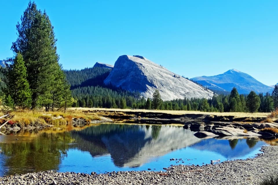
Lembert Dome

Overview

About Boothe Lake Trail

Why go

  • A lake destination below Vogelsang and Fletcher peaks.
  • A long meadow opens to views across the Tuolumne basin.

Heads up

  • A strenuous full-day distance at high elevation.

Map & elevation

The route

Loading the Yosemite map
Full map
Elevation8,602–9,993 ft
TrailheadRafferty Creek Trailhead37.87732, -119.35343
Keep this map with you offline in the Parkwolf app

Plan your hike

Before you go

Parking

For day hikes, use the Rafferty Creek trailhead lot beyond Tuolumne Meadows Lodge Road. Backpackers should park at Tuolumne Meadows Wilderness Center and walk about 0.4 mile east to the trailhead. Overnight parking in lots reached from Tioga Road is prohibited beginning October 15; Tioga Road closes seasonally.

Safety

This 15.5-mile route climbs from about 8,600 feet to nearly 10,000 feet; snow can make high trails difficult to follow from about November through May or June. Yosemite prohibits pets on hiking trails. Overnight wilderness travel requires a permit and approved bear-resistant food storage; camping within one mile of Vogelsang High Sierra Camp is restricted to designated campgrounds.

4 active Yosemite alerts

  • ClosureDome Fire closes Glacier Point Road and trailsGlacier Point Road is temporarily closed because Dome Fire smoke reduces visibility and to allow firefighting operations; some trails south of the road are also closed.Official details
  • CautionMist Trail access limited during October repairsThe Mist Trail between its John Muir Trail junction above the Vernal Fall footbridge and the top of Vernal Fall has limited access through October for repair work.Official details
See all 4 alerts
The Parkwolf Tour Guide on a dash-mounted phone, driving into Yosemite Valley

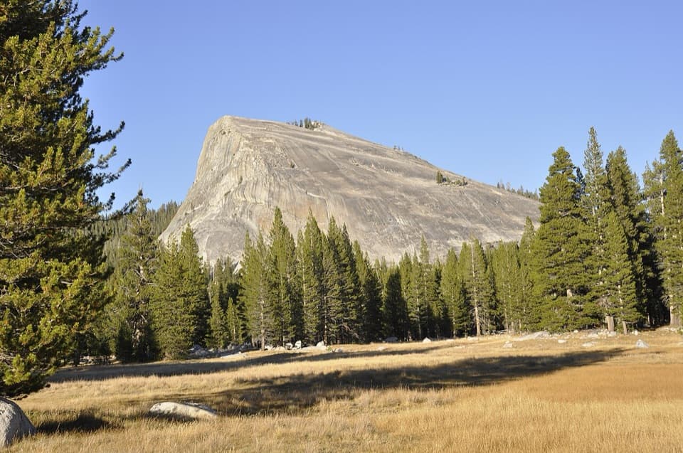
“Lembert Dome's trail access is coming up, for a steep climb to a wide view over Tuolumne Meadows and the Cathedral Range. From Lembert Dome parking, allow about three hours for the three point four mile round trip.”

Yosemite Tour Guide

Yosemite, narrated.

Parkwolf is a GPS audio tour guide for Yosemite National Park. As you drive, it chimes in with what’s ahead: hidden gems, upcoming stops, history, geology, and wildlife, right through your car’s speakers.

See the Yosemite audio tour

Recorded for this area

Lembert Dome
0:00 / 0:23
“Lembert Dome's trail access is coming up, for a steep climb to a wide view over Tuolumne Meadows and the Cathedral Range. From Lembert Dome parking, allow about three hours for the three point four mile round trip.”

Plays on the road 0.2 mi from the trailhead in the Parkwolf Yosemite Tour Guide.

More stories near here in the app

  • Tuolumne Meadows Store and Grill
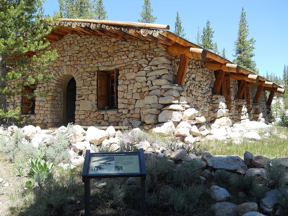
  • Soda Springs and Parsons Memorial Lodge
  • Tuolumne Meadows Lodge and Lyell Canyon
  • Tuolumne Meadows
  • 125 audio storiesacross Yosemite’s roads, triggered by GPS as you drive
  • Wildlife heatmapsfor Black Bear, Peregrine Falcon, Mule Deer, and 13 more
  • Works offlinemaps, 141 trails, 99 places, and audio download before you lose signal
  • CarPlay readysimple controls built for the drive
★★★★★
“We just drove through Yosemite and it made our trip listening to this app as we drove through. Like having a tour guide in the car with you.”
Roddy 3210App Store review
Download Parkwolf on the App StoreGet Parkwolf on Google Play

4.7 from 8,600+ ratings

Trail guide

Hiking Boothe Lake Trail

The full-day routeBoothe Lake Trail is a strenuous 15.

Boothe Lake Trail is a strenuous 15.5-mile out-and-back from Rafferty Creek Trailhead in Tuolumne Meadows, following the PCT/JMT and Rafferty Creek corridor to a lake beneath granite peaks. The mapped walk is about 7.8 miles each way, including the final branch to the lake. Plan a full day; about ten hours is a practical estimate with a stop. Backpackers parking at the Wilderness Center add about 0.4 mile each way to reach the same trailhead. A start at the Tuolumne Meadows Visitor Center is a different, longer variant.

Up Rafferty CreekFrom the trailhead lot, a short connector joins the PCT/JMT.

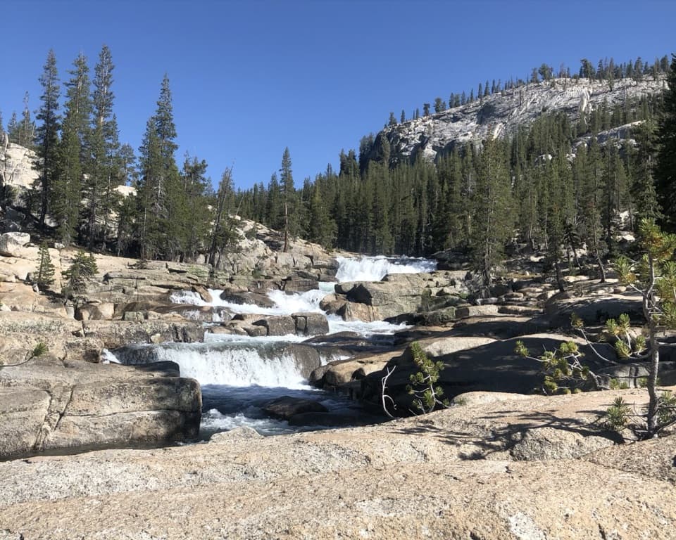
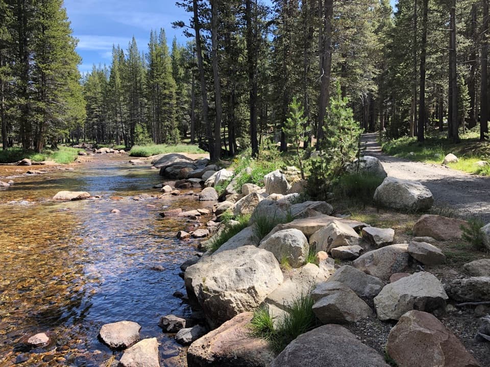
From the trailhead lot, a short connector joins the PCT/JMT. Cross the Dana and Lyell forks on footbridges, then turn south onto Rafferty Creek Trail. The climb starts steeply as it leaves the Tuolumne River plain, eases around mile 2.5, and continues through lodgepole forest beside the creek. There are occasional views toward Kuna Crest, but most of this stretch is a steady high-country climb.

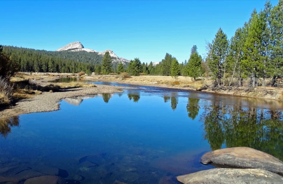
Around mile 5.3, the trees give way to a long meadow leading toward Tuolumne Pass. Vogelsang and Fletcher peaks come into view ahead; look back for a wider view across the Tuolumne basin and Sierra crest. At the Merced Lake branch, follow the route toward Boothe Lake for the final 0.6 mile.

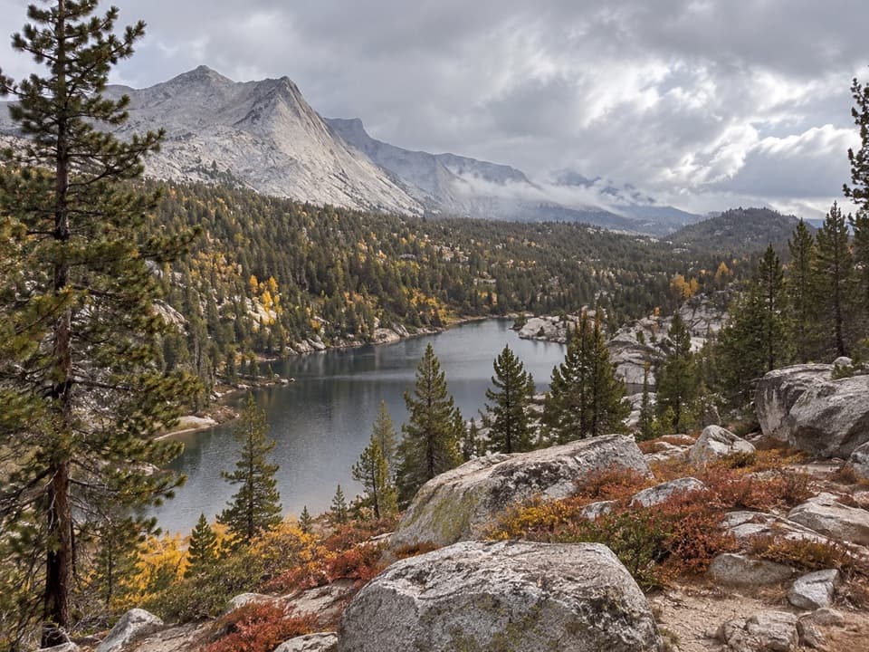
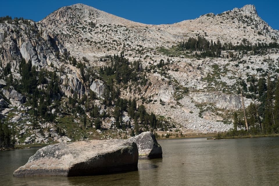
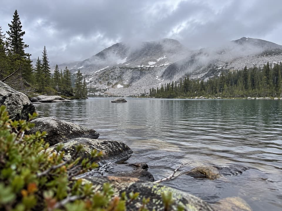
At the lakeBoothe Lake sits at about 9,800 feet in a rocky, forested basin below Vogelsang and Fletcher…

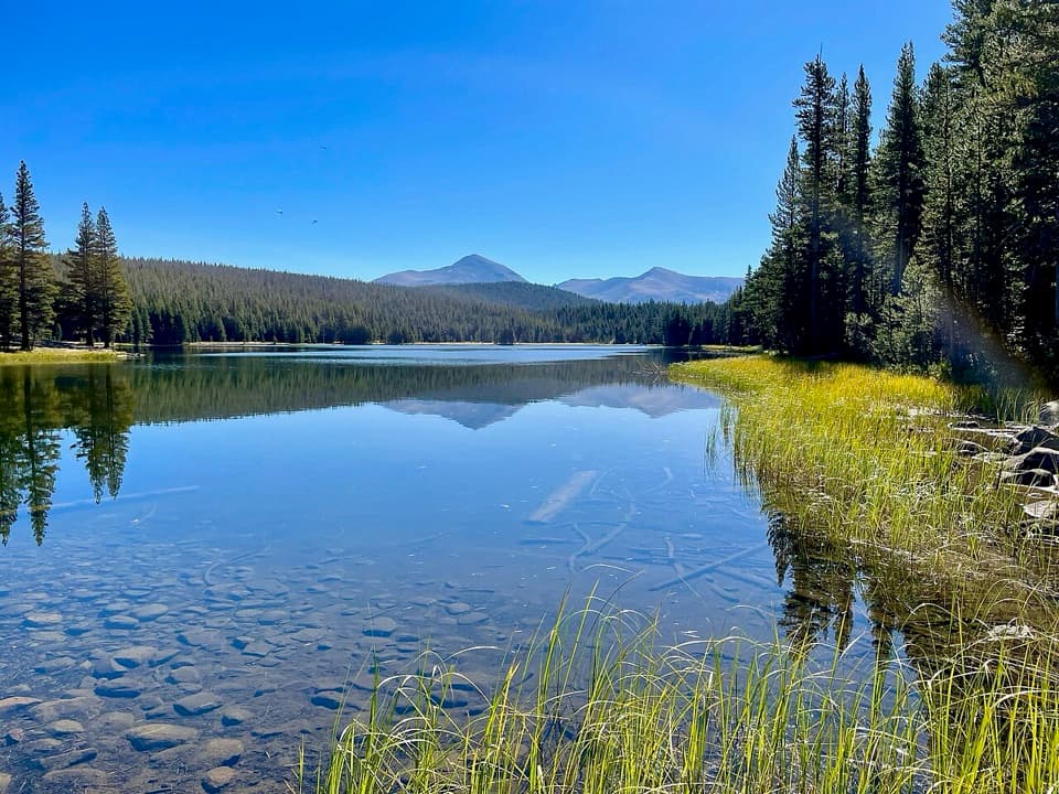
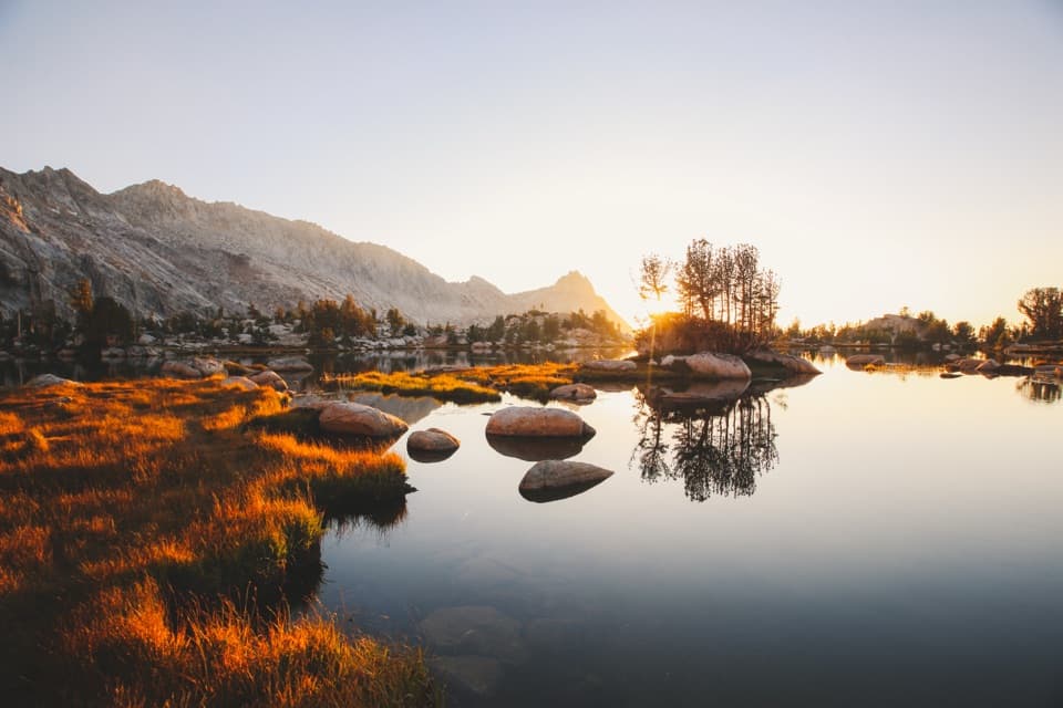
Boothe Lake sits at about 9,800 feet in a rocky, forested basin below Vogelsang and Fletcher peaks. The rocky north shore can reflect the peaks in calm water. Turn around at the lake and retrace the same corridor; this is not a loop.

Access and limitsDay hikers can use the Rafferty Creek trailhead lot off Tuolumne Meadows Lodge Road.

Day hikers can use the Rafferty Creek trailhead lot off Tuolumne Meadows Lodge Road. Backpackers should park at the Tuolumne Meadows Wilderness Center and walk about 0.4 mile east to the trailhead. Tioga Road access is seasonal, and overnight parking in lots reached from Tioga Road is prohibited beginning October 15. The route starts around 8,600 feet and approaches 10,000 feet, so distance and altitude make it a demanding day hike. Yosemite does not allow pets on hiking trails. Overnight wilderness trips require a permit and approved bear-resistant food storage; camping within one mile of Vogelsang High Sierra Camp is restricted to designated campgrounds, so do not assume the lake shore is an authorized campsite.

Wildlife

Wildlife in Yosemite

All Yosemite wildlife maps

Sighting maps show where each species has been reported across Yosemite. Wildlife moves, so no sighting is guaranteed.

Keep exploring

Near Boothe Lake Trail

See it all on the map

Trails that start nearby

Places near the trailhead

Parkwolf’s Yosemite ranking

Top-rated trails in Yosemite

All 141 trails
  1. 1Half Dome TrailChallenging · 14.3 mi
  2. 2Clouds Rest TrailChallenging · 14 mi
  3. 3Nevada Fall Loop via Mist and John Muir TrailsChallenging · 6.4 mi
  4. 4Yosemite Falls TrailChallenging · 7.2 mi
  5. 5Panorama TrailChallenging · 8.2 mi
  6. 6Four Mile TrailChallenging · 4.8 mi

Take Parkwolf to Yosemite.

The audio tour guide for the drive, plus offline maps, trails, and wildlife heatmaps for when the signal drops.

4.7 from 8,600+ ratings

Download Parkwolf on the App StoreGet Parkwolf on Google Play