Parking
Start at Lembert Dome parking in Tuolumne Meadows, the access named for this full hike. The route joins the Pacific Crest Trail west of the lot; access by car depends on Tioga Road.
Yosemite National Park, CA
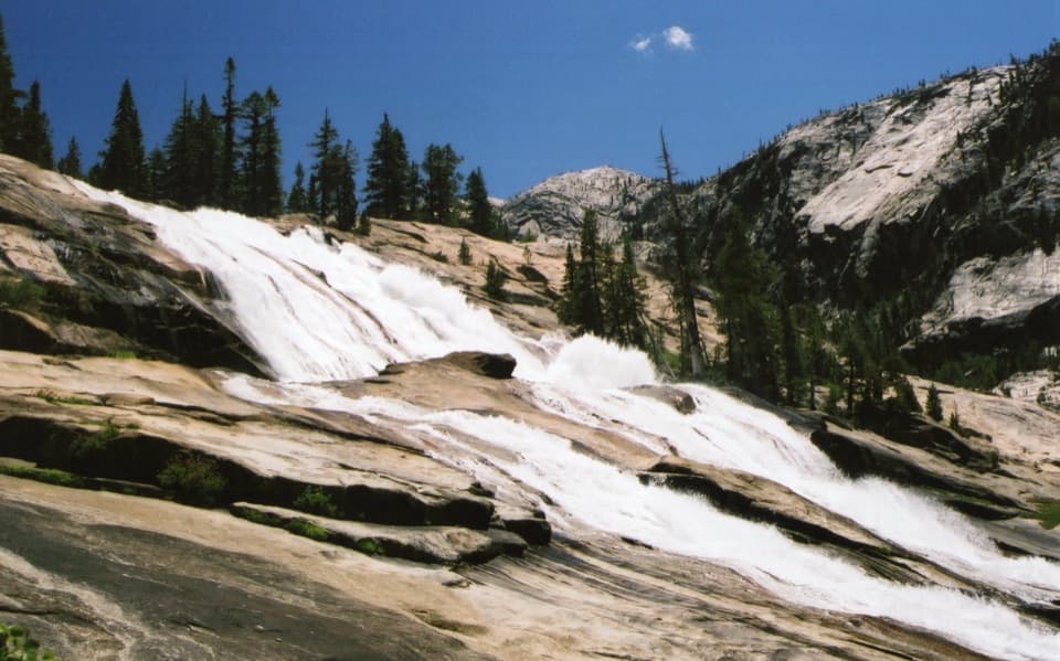
Long Tuolumne River hike to Waterwheel Falls' signature spray.
Overview
Waterwheel Falls Trail is a 19-mile round-trip out-and-back from Lembert Dome parking in Tuolumne Meadows, following the Pacific Crest Trail to Glen Aulin and then the Tuolumne River into the Grand Canyon of the Tuolumne. You pass named falls and cascades before reaching Waterwheel Falls. Allow about 10 to 12 hours. This is a serious day for hikers comfortable with long miles at altitude; the climb back out is the price of getting to the best stretch of river.
 Parkwolf’s verdictIs this the hike for you?
Map & elevation
Plan your hike

“You're nearing the paths to Soda Springs and Parsons Memorial Lodge. I'd choose this for an easy outing with a couple of unusual things to see: allow about an hour from Lembert Dome parking, with some uneven footing.”
Yosemite Tour Guide
Parkwolf is a GPS audio tour guide for Yosemite National Park. As you drive, it chimes in with what’s ahead: hidden gems, upcoming stops, history, geology, and wildlife, right through your car’s speakers.
See the Yosemite audio tourRecorded for this trailhead
Soda Springs and Parsons Memorial Lodge“You're nearing the paths to Soda Springs and Parsons Memorial Lodge. I'd choose this for an easy outing with a couple of unusual things to see: allow about an hour from Lembert Dome parking, with some uneven footing.”
Plays as you drive up to this trailhead in the Parkwolf Yosemite Tour Guide.
More stories near here in the app
“We just drove through Yosemite and it made our trip listening to this app as we drove through. Like having a tour guide in the car with you.”


Trail guide
The first part follows the river through open meadow and lodgepole forest on mostly gentle ground. Dingley Creek and the forks of Delaney Creek can call for careful rock-hopping when water is high early in the season. Later, the trees open at bends in the Tuolumne, with the Cathedral Range across the river. A footbridge marks the start of the waterfall stretch. Tuolumne Falls spills into a rocky bowl; White Cascade drops into a broad pool near Glen Aulin. At the four-way junction after the bridge, take the left branch downriver for Waterwheel; the branch to camp is on the right.
Glen Aulin is a good place to pause before the harder miles. The river meanders through lodgepole and sugar pine, white fir and Jeffrey pine, pocket meadows and aspen groves. The trail is relatively level through the valley, then drops at multi-tiered California Falls. A short downhill spur reaches the lower granite bowl, but it adds more descent to climb on the way back. Below the falls the tread gets steep and rocky. LeConte Falls is visible from the route, without an obvious spur to its base; Waterwheel is another half-mile beyond.
At the turnaround, the Tuolumne hits a submerged granite ledge and shoots upward in the waterwheel effect that gives the falls their name. The spray is strongest when the river is running high, usually earlier in the season. That is also when the current and slick ledges are most dangerous, so admire the falls from a safe distance. The view opens into the U-shaped Grand Canyon of the Tuolumne. From a stable viewpoint, frame the granite ledge with the plume and canyon walls; don’t move closer to the river for a photo.
The drive to Tuolumne Meadows depends on Tioga Road, which usually opens sometime from May or June through November, with dates set by conditions. Bring all the food and water you need; services in the area are very limited, and no refill point is guaranteed along this long route. A day hike does not require a wilderness permit, but overnight camping does. Dogs aren’t allowed on Yosemite trails or in wilderness areas; service animals are allowed under the applicable rules.
Glen Aulin is commonly translated from Gaelic as “Beautiful Valley.” Here the flatter ground lets the Tuolumne slow and wander through small meadows beneath granite formations. Quaking aspen ring some of the pocket meadows and can add fall color in early to mid-October. That quieter valley is a worthwhile part of the hike in its own right, even if you turn around there instead of continuing to Waterwheel.
Most of the route drops toward the water, so the miles to the falls can feel easier than the return. Expect about 2,000 feet of total climbing, with the steepest section losing roughly 800 feet over 1.5 miles below California Falls before you have to regain it. Start early and leave enough time for the climb back. If you want a shorter outing, the 11-mile round trip to Glen Aulin still reaches Tuolumne Falls and White Cascade.
Wildlife
 732 sightingsBlack BearMost seen around 7 PMSighting map
 1,747 sightingsMule DeerMost seen around 6 PMSighting map
 332 sightingsCoyoteMost seen around 7 PMSighting map
 11 sightingsPeregrine FalconMost seen around 8 AMSighting map
 276 sightingsPikaMost seen around 8 AMSighting map
 677 sightingsYellow-bellied MarmotMost seen around 8 AMSighting map
Sighting maps show where each species has been reported across Yosemite. Wildlife moves, so no sighting is guaranteed.
Keep exploring
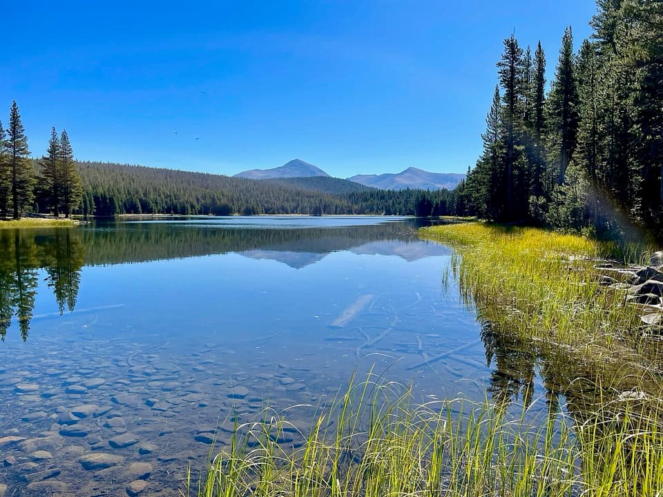 ModerateDog Lake Trail2.8 mi · 2.3 hr · At the trailheadA steep climb gives way to a quiet high-country lake.
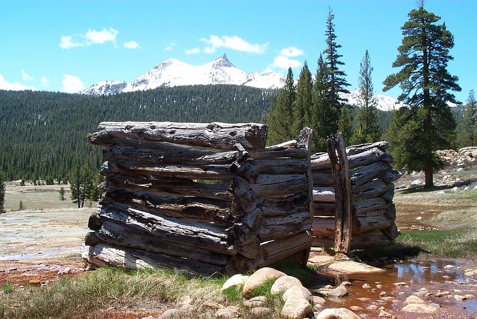 EasyParsons Lodge and Soda Springs Trail1.7 mi · 1 hr · At the trailheadA flat meadow walk to bubbling springs and a Sierra Club lodge.
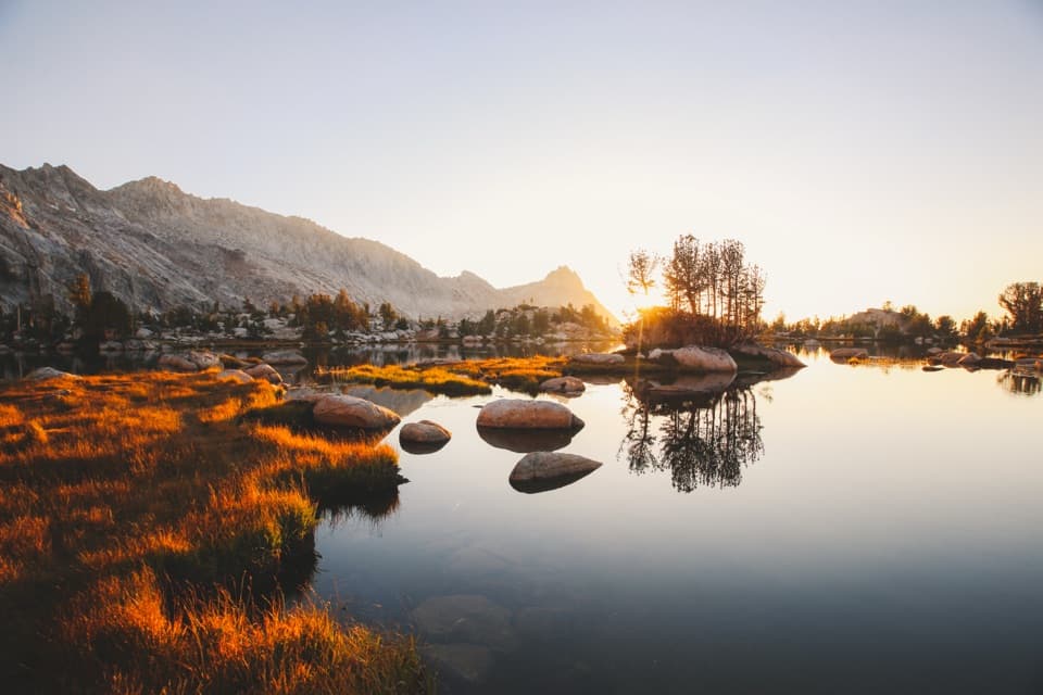 ChallengingYoung Lakes Trail13.6 mi · 9 hr · At the trailheadA full-day walk through meadows and forest to high-country lakes.
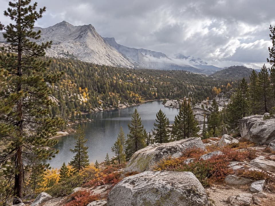 ChallengingBoothe Lake Trail15.5 mi · 10 hr · At the trailheadA long high-country hike to a lake beneath the granite peaks.
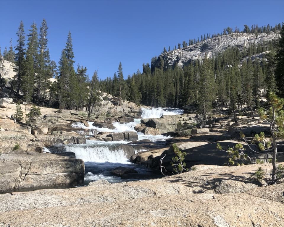 ChallengingGlen Aulin Trail11 mi · 8 hr · 0.3 mi awayAn 11-mile river walk to waterfalls at Glen Aulin.
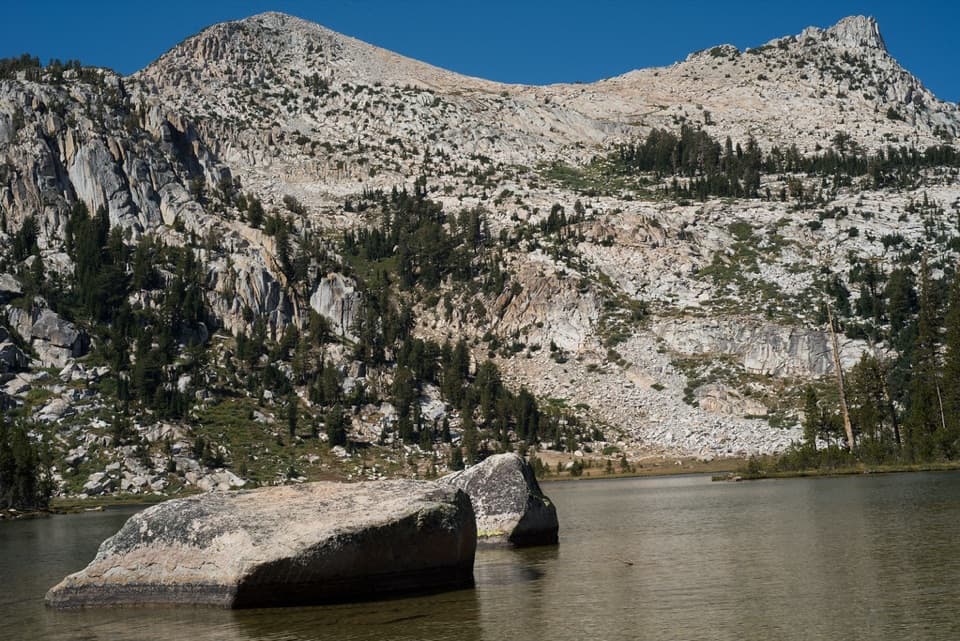 ModerateElizabeth Lake Trail4.8 mi · 5 hr · 0.5 mi awayA steady climb to a high lake below Unicorn Peak.
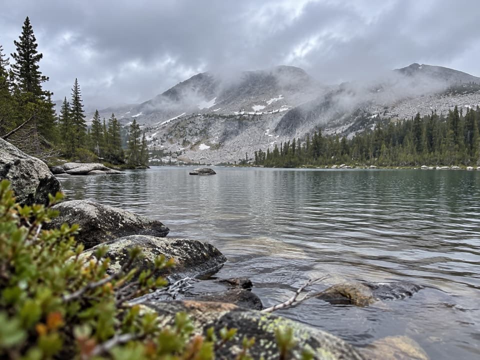 ChallengingMcCabe Lakes Trail29.6 mi · 18 hr · 0.7 mi awayA long Tuolumne Meadows out-and-back to McCabe’s alpine lake basin.
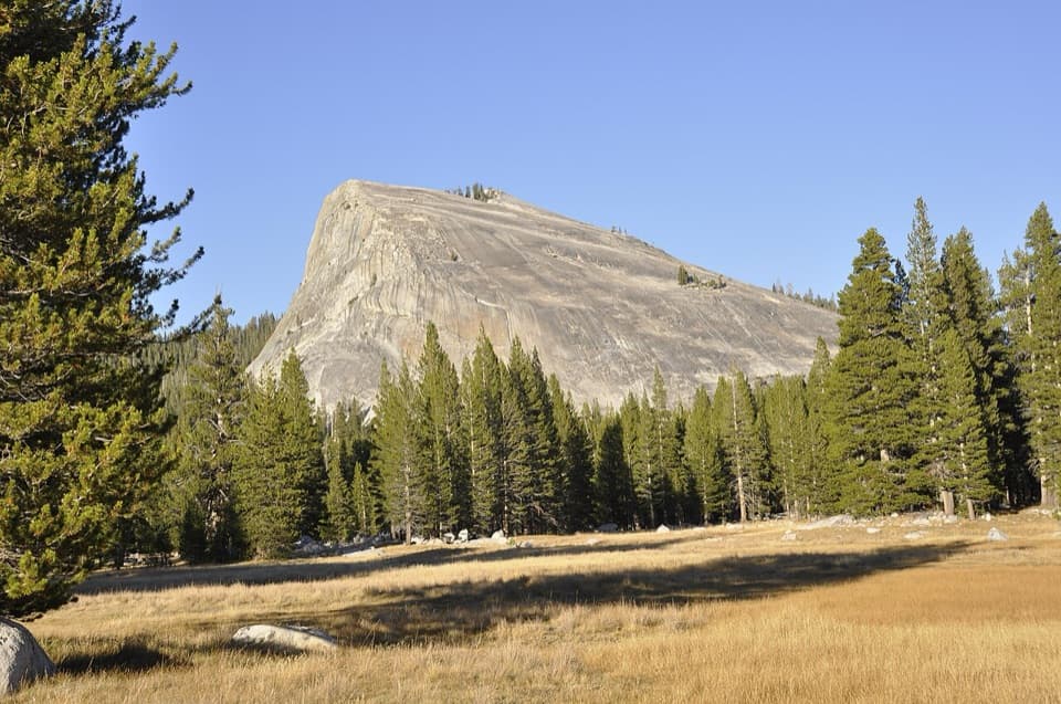 ModerateLembert Dome Trail2.1 mi · 2 hr · 0.8 mi awayShort forest climb, bare granite, and a Tuolumne Meadows panorama.
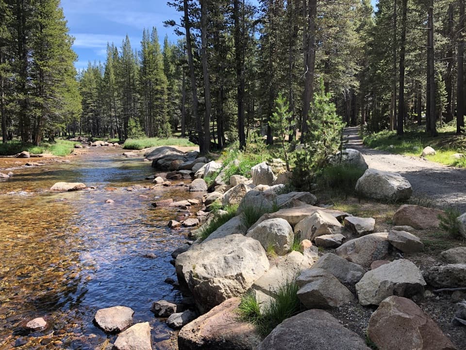 Campground · 0.2 mi awayTuolumne Meadows CampgroundA high-country base for Tuolumne's hikes, lakes, and river.
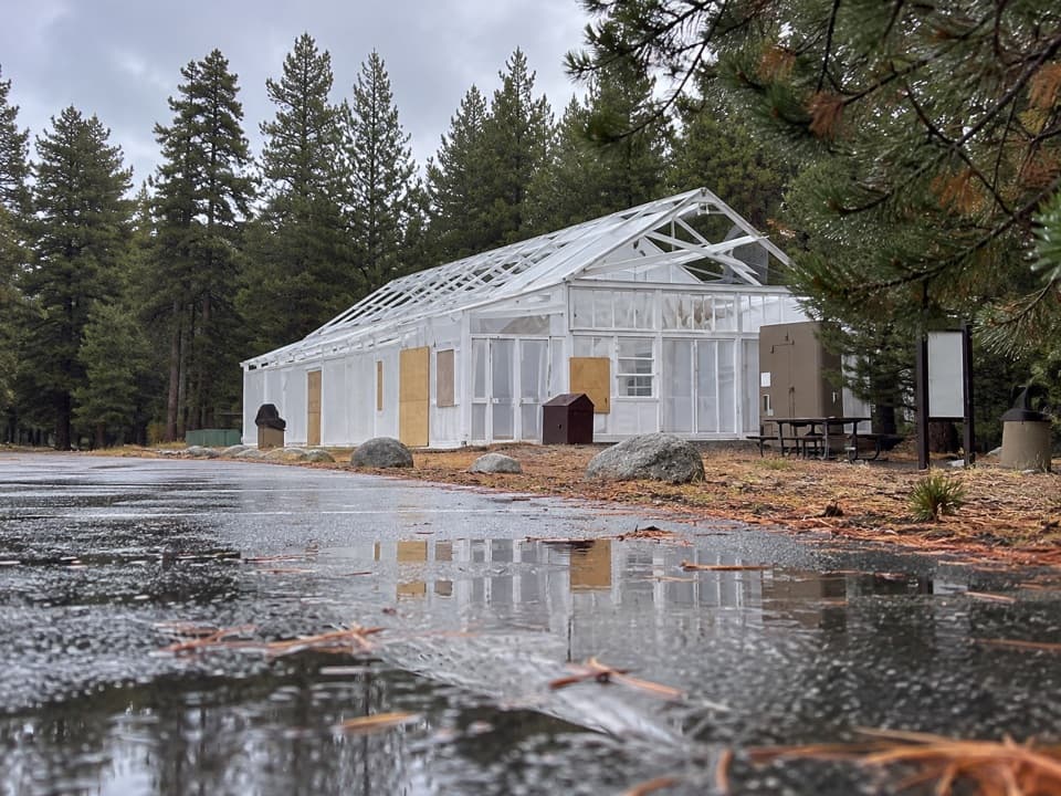 Food · 0.3 mi awayTuolumne Meadows Store and GrillLunch and trail basics before the high-country miles.
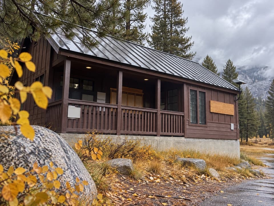 Ranger station · 0.4 mi awayTuolumne Meadows Wilderness CenterTalk over your route and get a backcountry permit.
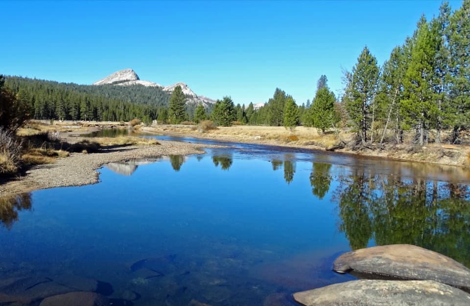 Sight · 0.5 mi awayTuolumne MeadowsA high-country meadow with river bends and granite domes.
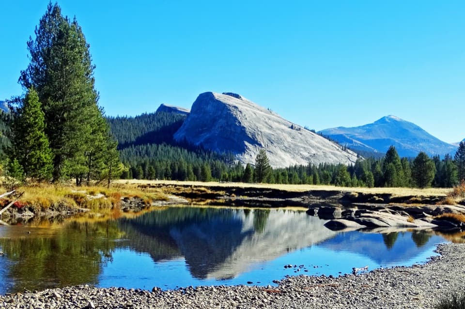 Sight · 0.5 mi awayLembert DomeA steep granite climb earns a wide-open Tuolumne panorama.
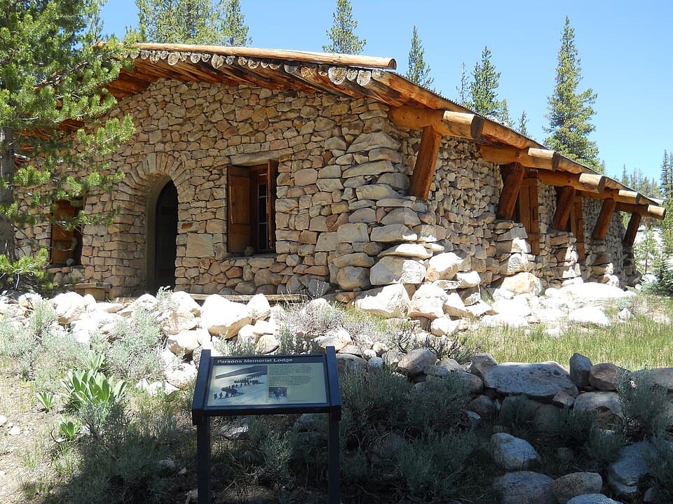 Sight · 0.8 mi awayParsons Memorial Lodge and Soda SpringsA short walk joins a 1915 lodge with bubbling meadow springs.
 Lodging · 1.1 mi awayTuolumne Meadows LodgeCanvas cabins beside the river, with trails on your doorstep.
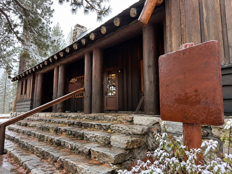 Visitor center · 1.2 mi awayTuolumne Meadows Visitor CenterA ranger desk, geology exhibits and a CCC story beside the meadow.
Parkwolf’s Yosemite ranking
The audio tour guide for the drive, plus offline maps, trails, and wildlife heatmaps for when the signal drops.





