Parking
Start at Lembert Dome parking along Tioga Road and follow the connected meadow path. The Visitor Center and Parsons Lodge parking are also listed starts, but change the route distance. Parking capacity and fees were not established.
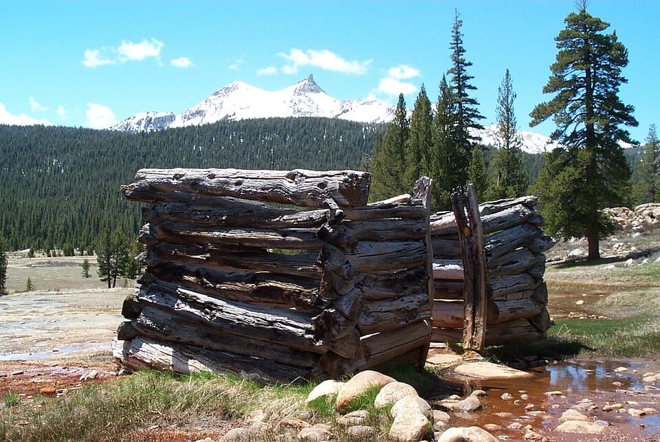
Yosemite National Park, CA
A flat meadow walk to bubbling springs and a Sierra Club lodge.
Overview
Map & elevation
Plan your hike

“You're nearing the paths to Soda Springs and Parsons Memorial Lodge. I'd choose this for an easy outing with a couple of unusual things to see: allow about an hour from Lembert Dome parking, with some uneven footing.”
Yosemite Tour Guide
Parkwolf is a GPS audio tour guide for Yosemite National Park. As you drive, it chimes in with what’s ahead: hidden gems, upcoming stops, history, geology, and wildlife, right through your car’s speakers.
See the Yosemite audio tourRecorded for this trailhead
Soda Springs and Parsons Memorial Lodge“You're nearing the paths to Soda Springs and Parsons Memorial Lodge. I'd choose this for an easy outing with a couple of unusual things to see: allow about an hour from Lembert Dome parking, with some uneven footing.”
Plays as you drive up to this trailhead in the Parkwolf Yosemite Tour Guide.
More stories near here in the app
“We just drove through Yosemite and it made our trip listening to this app as we drove through. Like having a tour guide in the car with you.”


Trail guide
This easy out-and-back crosses the high meadow to cold, bubbling Soda Springs and nearby Parsons Memorial Lodge. From Lembert Dome parking, the connected mapped path is about 1.7 miles round trip and takes roughly an hour. The official hike listing gives 1.4 miles; the difference reflects the specific start and mapped connector, so allow for a little variation. The route is mostly level, with gravel stretches and narrower rocky or uneven footing.
Soda Springs bubbles naturally inside a low historic log enclosure; it is a small cold spring, not a hot pool. The stone Parsons Memorial Lodge nearby was built in 1915 as a Sierra Club gathering place for high-country trips. Architect Bernard Maybeck designed it using local stone and mule-brought log rafters. A vault toilet is near the lodge. Tuolumne Meadows food and water services are limited, so bring what you need; lodge exhibits or programs have seasonal hours.
Lembert Dome parking is the start used for this route. The Visitor Center and Parsons Lodge parking are also listed starts, but change the distance. Those western approaches cross the Tuolumne River on a bridge with stone steps; the mapped Lembert approach does not. Vehicle access depends on Tioga Road, which typically opens in late May or early June and closes in fall or after significant snow; spring trails can remain wet or snowy. The trail is not wheelchair accessible, and pets and bicycles are prohibited on hiking trails. Stay on the path to protect the fragile meadow. Belding’s ground squirrels, mule deer and yellow-bellied marmots live here, though sightings are never guaranteed.
Wildlife
 732 sightingsBlack BearMost seen around 7 PMSighting map
 1,747 sightingsMule DeerMost seen around 6 PMSighting map
 332 sightingsCoyoteMost seen around 7 PMSighting map
 11 sightingsPeregrine FalconMost seen around 8 AMSighting map
 276 sightingsPikaMost seen around 8 AMSighting map
 677 sightingsYellow-bellied MarmotMost seen around 8 AMSighting map
Sighting maps show where each species has been reported across Yosemite. Wildlife moves, so no sighting is guaranteed.
Keep exploring
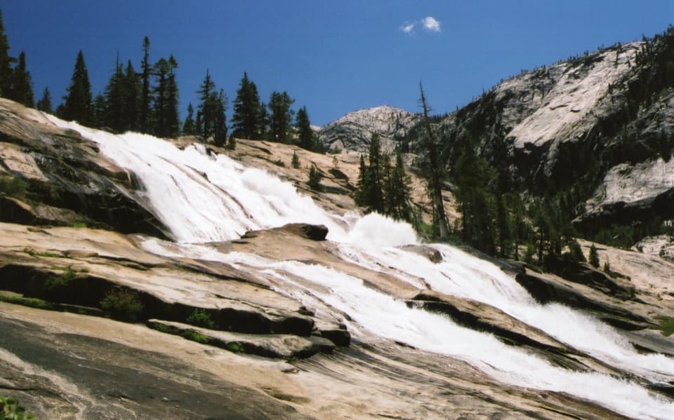 ChallengingWaterwheel Falls Trail19 mi · 11 hr · At the trailheadLong Tuolumne River hike to Waterwheel Falls' signature spray.
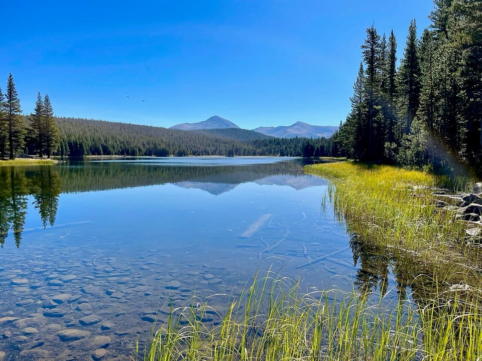 ModerateDog Lake Trail2.8 mi · 2.3 hr · At the trailheadA steep climb gives way to a quiet high-country lake.
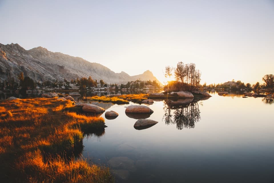 ChallengingYoung Lakes Trail13.6 mi · 9 hr · At the trailheadA full-day walk through meadows and forest to high-country lakes.
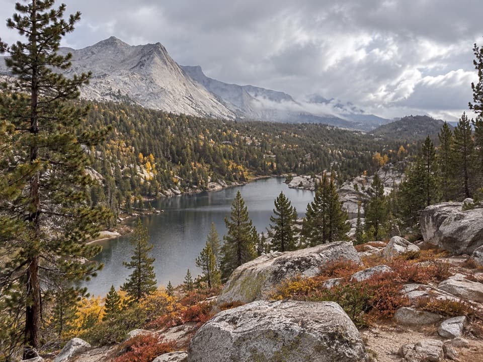 ChallengingBoothe Lake Trail15.5 mi · 10 hr · At the trailheadA long high-country hike to a lake beneath the granite peaks.
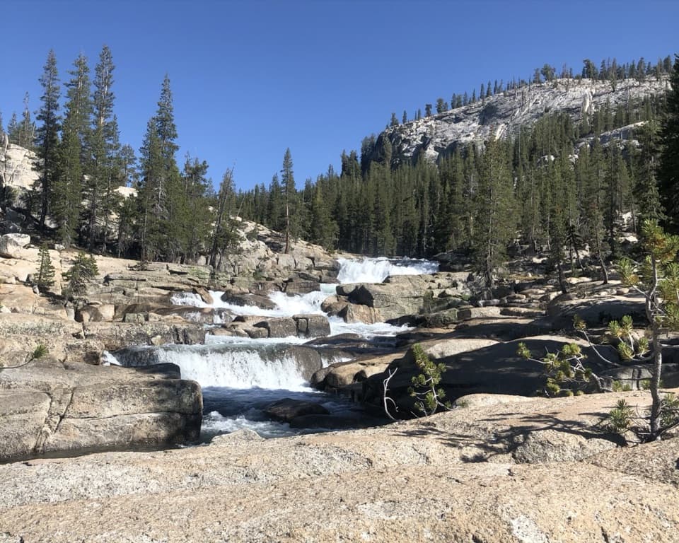 ChallengingGlen Aulin Trail11 mi · 8 hr · 0.3 mi awayAn 11-mile river walk to waterfalls at Glen Aulin.
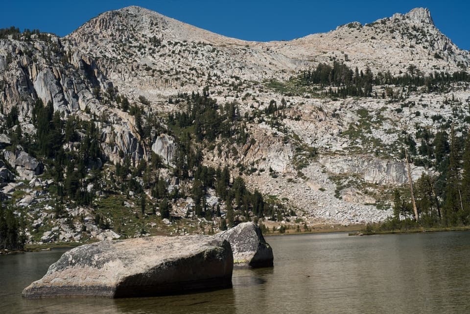 ModerateElizabeth Lake Trail4.8 mi · 5 hr · 0.5 mi awayA steady climb to a high lake below Unicorn Peak.
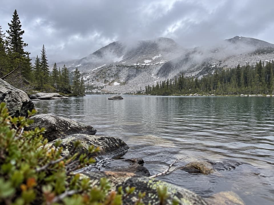 ChallengingMcCabe Lakes Trail29.6 mi · 18 hr · 0.7 mi awayA long Tuolumne Meadows out-and-back to McCabe’s alpine lake basin.
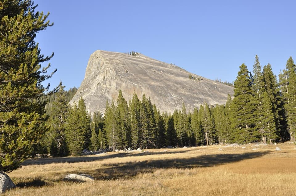 ModerateLembert Dome Trail2.1 mi · 2 hr · 0.8 mi awayShort forest climb, bare granite, and a Tuolumne Meadows panorama.
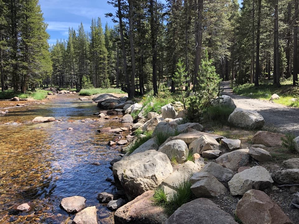 Campground · 0.2 mi awayTuolumne Meadows CampgroundA high-country base for Tuolumne's hikes, lakes, and river.
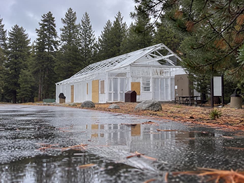 Food · 0.3 mi awayTuolumne Meadows Store and GrillLunch and trail basics before the high-country miles.
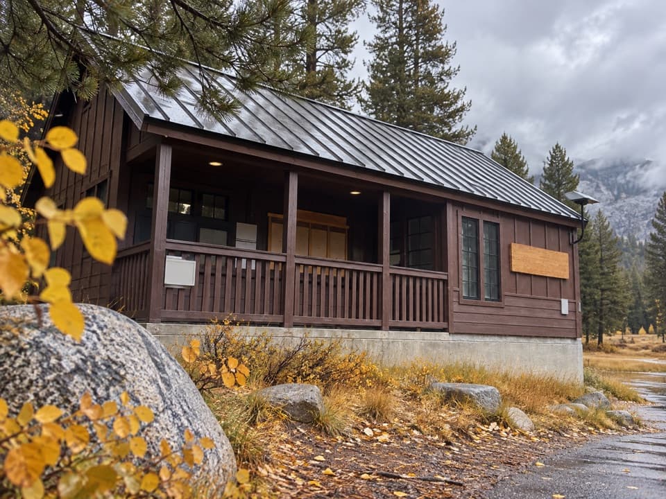 Ranger station · 0.4 mi awayTuolumne Meadows Wilderness CenterTalk over your route and get a backcountry permit.
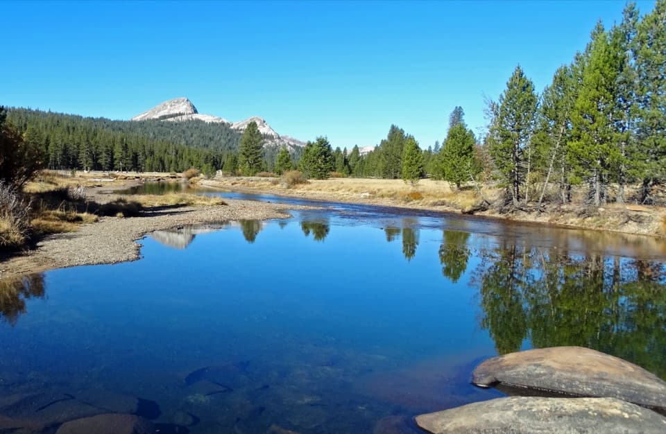 Sight · 0.5 mi awayTuolumne MeadowsA high-country meadow with river bends and granite domes.
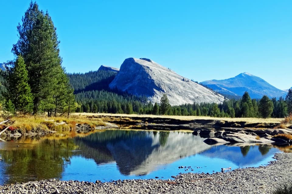 Sight · 0.5 mi awayLembert DomeA steep granite climb earns a wide-open Tuolumne panorama.
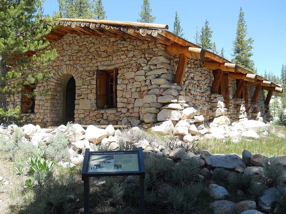 Sight · 0.8 mi awayParsons Memorial Lodge and Soda SpringsA short walk joins a 1915 lodge with bubbling meadow springs.
 Lodging · 1.1 mi awayTuolumne Meadows LodgeCanvas cabins beside the river, with trails on your doorstep.
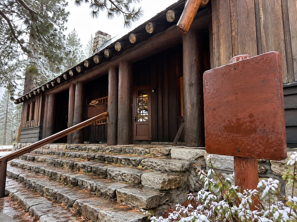 Visitor center · 1.2 mi awayTuolumne Meadows Visitor CenterA ranger desk, geology exhibits and a CCC story beside the meadow.
Parkwolf’s Yosemite ranking

The audio tour guide for the drive, plus offline maps, trails, and wildlife heatmaps for when the signal drops.





