Parking
Start at the Glen Aulin and Soda Springs Trailhead in Tuolumne Meadows, reached from Tioga Road. NPS also lists Lembert Dome parking as an approach; confirm which meadow access a map distance assumes, since other descriptions run longer.
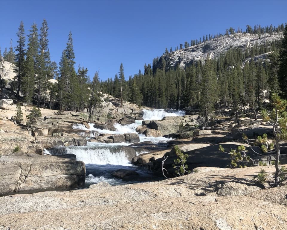
Yosemite National Park, CA
An 11-mile river walk to waterfalls at Glen Aulin.
Overview
Map & elevation
Plan your hike

“You're nearing the paths to Soda Springs and Parsons Memorial Lodge. I'd choose this for an easy outing with a couple of unusual things to see: allow about an hour from Lembert Dome parking, with some uneven footing.”
Yosemite Tour Guide
Parkwolf is a GPS audio tour guide for Yosemite National Park. As you drive, it chimes in with what’s ahead: hidden gems, upcoming stops, history, geology, and wildlife, right through your car’s speakers.
See the Yosemite audio tourRecorded for this trailhead
Soda Springs and Parsons Memorial Lodge“You're nearing the paths to Soda Springs and Parsons Memorial Lodge. I'd choose this for an easy outing with a couple of unusual things to see: allow about an hour from Lembert Dome parking, with some uneven footing.”
Plays as you drive up to this trailhead in the Parkwolf Yosemite Tour Guide.
More stories near here in the app
“We just drove through Yosemite and it made our trip listening to this app as we drove through. Like having a tour guide in the car with you.”


Trail guide
Glen Aulin Trail is an 11-mile out-and-back from the Glen Aulin and Soda Springs Trailhead in Tuolumne Meadows to Glen Aulin High Sierra Camp and back. It follows the Tuolumne River through meadow and forest, then drops beside a chain of cascades, including Tuolumne Fall and White Cascade. The park estimates six to eight hours and about 800 feet of climbing on the return. This is a proper high-country day, not a quick waterfall stroll. I’d choose it for the changing river and the long walk into the mouth of the Grand Canyon of the Tuolumne; if you only want a short walk, turn around at Soda Springs instead.
The opening miles are mostly level, crossing open meadow and pockets of forest beside the river. After a few miles, a meadow opens a view back toward Lembert Dome. The path leaves the broad Tuolumne Meadows for the more enclosed canyon country near Parsons Memorial Lodge and Soda Springs, then keeps to the river. That easy beginning is a bit of a trick: you still have a long way to go, and every step down toward Glen Aulin has to be climbed again on the way out.
For the first stretch the Tuolumne River wanders quietly through meadow. Farther along, the grade drops and the water gathers into cascades and falls. The trail becomes rockier as it descends toward Glen Aulin, with uneven granite and rough riprap that call for slower footing. Tuolumne Fall and White Cascade are the big water scenes on this route. Give yourself time at White Cascade to see how the water steps down the ledges into the pool; framing both the granite and the pool shows more of the place than a tight crop of the falling water.
Glen Aulin sits at a forested gully where several creeks meet at the head of the Grand Canyon of the Tuolumne. The High Sierra Camp is the practical day-hike endpoint, beside White Cascade. Beyond it, the trail continues downstream past California and Le Conte falls toward Waterwheel Falls. That is a much longer outing, about 19 miles round trip from Tuolumne Meadows, so don’t drift past camp unless you planned for the extra distance.
This entry follows the NPS Glen Aulin and Soda Springs access and the mapped trail to the camp area: 11 miles total, counting the return. Other descriptions give roughly 12.6 to 13 miles when they use a different Tuolumne Meadows approach or route endpoint. Check the start shown on your map before setting out. The trailhead is around 8,500 feet, and the walk out loses ground before the return climbs it back; distance, altitude, and the rocky final stretch make this a hard day even without a huge elevation gain. Dogs and bicycles aren’t allowed on Yosemite hiking trails. Overnight wilderness camping requires a permit.
The park warns that several stream crossings are unbridged. Early in the season they can be high, cold, and swift; turn back if a crossing isn’t safe. Tioga Road is the only vehicle approach and opens seasonally, usually from late spring into fall. A vault toilet is available near Parsons Memorial Lodge; a flush toilet at the High Sierra Camp may be available only during its season. For a much shorter outing, the Soda Springs and Parsons Lodge walk is about one mile round trip, with a bubbling spring inside a historic log enclosure, but it doesn’t reach Glen Aulin’s waterfalls.
Wildlife
 732 sightingsBlack BearMost seen around 7 PMSighting map
 1,747 sightingsMule DeerMost seen around 6 PMSighting map
 332 sightingsCoyoteMost seen around 7 PMSighting map
 11 sightingsPeregrine FalconMost seen around 8 AMSighting map
 276 sightingsPikaMost seen around 8 AMSighting map
 677 sightingsYellow-bellied MarmotMost seen around 8 AMSighting map
Sighting maps show where each species has been reported across Yosemite. Wildlife moves, so no sighting is guaranteed.
Keep exploring
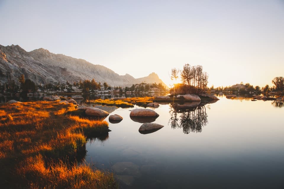 ChallengingYoung Lakes Trail13.6 mi · 9 hr · 0.3 mi awayA full-day walk through meadows and forest to high-country lakes.
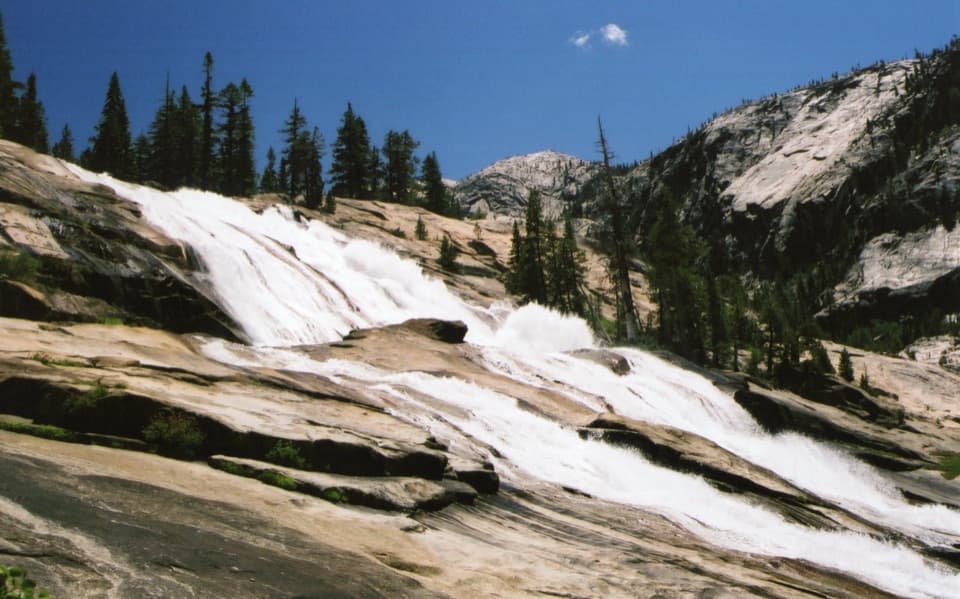 ChallengingWaterwheel Falls Trail19 mi · 11 hr · 0.3 mi awayLong Tuolumne River hike to Waterwheel Falls' signature spray.
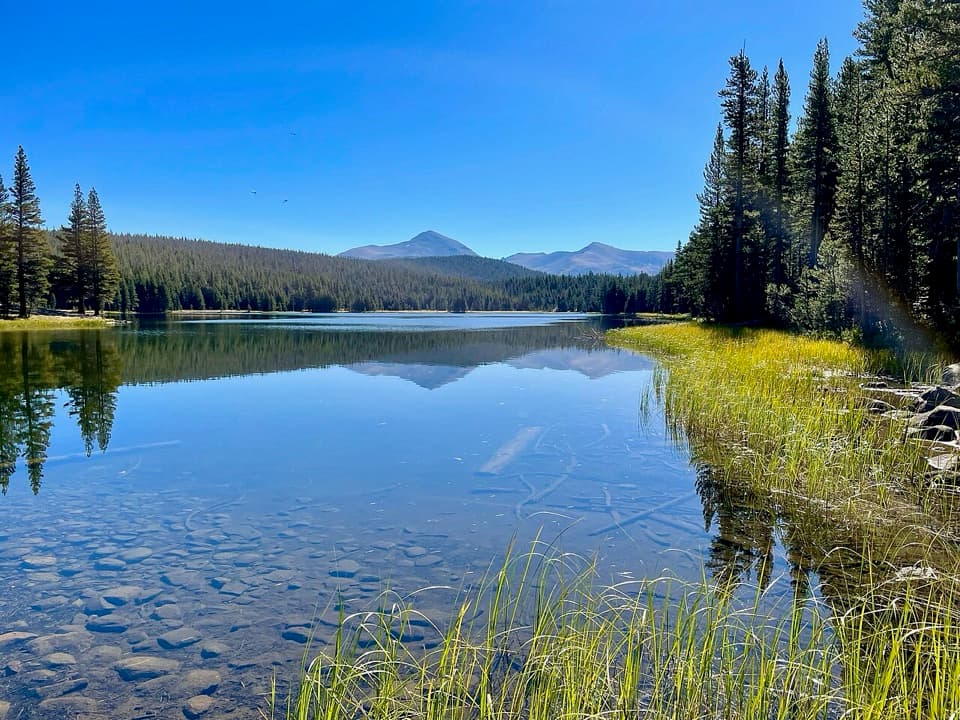 ModerateDog Lake Trail2.8 mi · 2.3 hr · 0.3 mi awayA steep climb gives way to a quiet high-country lake.
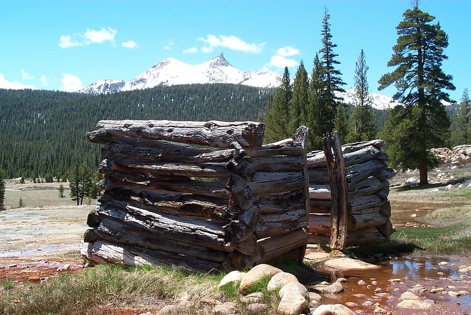 EasyParsons Lodge and Soda Springs Trail1.7 mi · 1 hr · 0.3 mi awayA flat meadow walk to bubbling springs and a Sierra Club lodge.
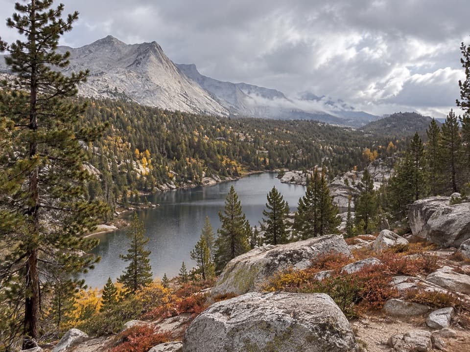 ChallengingBoothe Lake Trail15.5 mi · 10 hr · 0.3 mi awayA long high-country hike to a lake beneath the granite peaks.
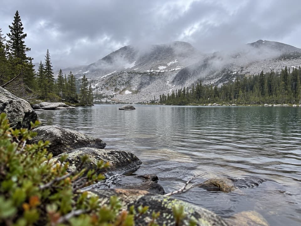 ChallengingMcCabe Lakes Trail29.6 mi · 18 hr · 0.5 mi awayA long Tuolumne Meadows out-and-back to McCabe’s alpine lake basin.
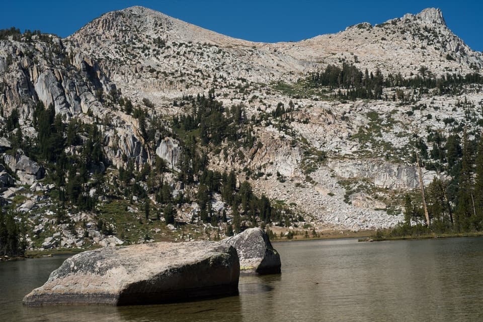 ModerateElizabeth Lake Trail4.8 mi · 5 hr · 0.6 mi awayA steady climb to a high lake below Unicorn Peak.
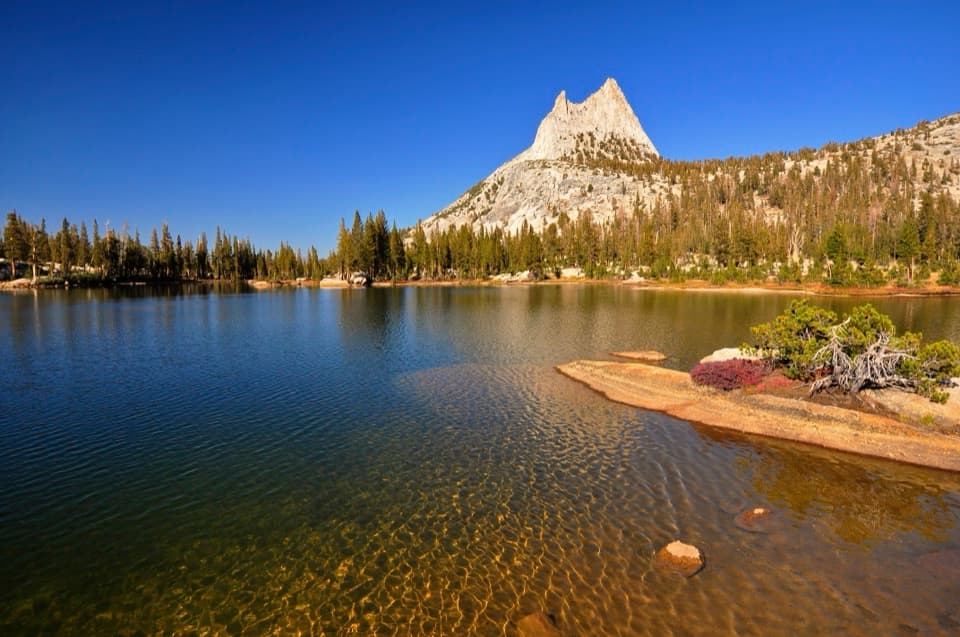 ModerateCathedral Lakes Trail9 mi · 7.5 hr · 1 mi awayTwo alpine lakes beneath Cathedral Peak reward a steady Sierra climb.
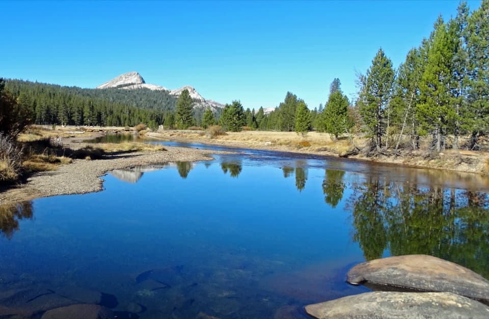 Sight · 0.3 mi awayTuolumne MeadowsA high-country meadow with river bends and granite domes.
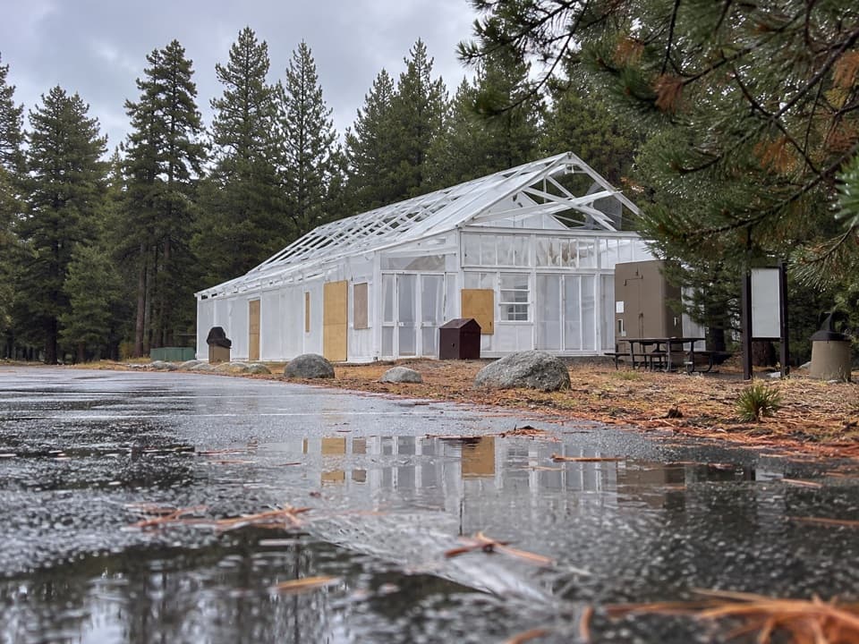 Food · 0.3 mi awayTuolumne Meadows Store and GrillLunch and trail basics before the high-country miles.
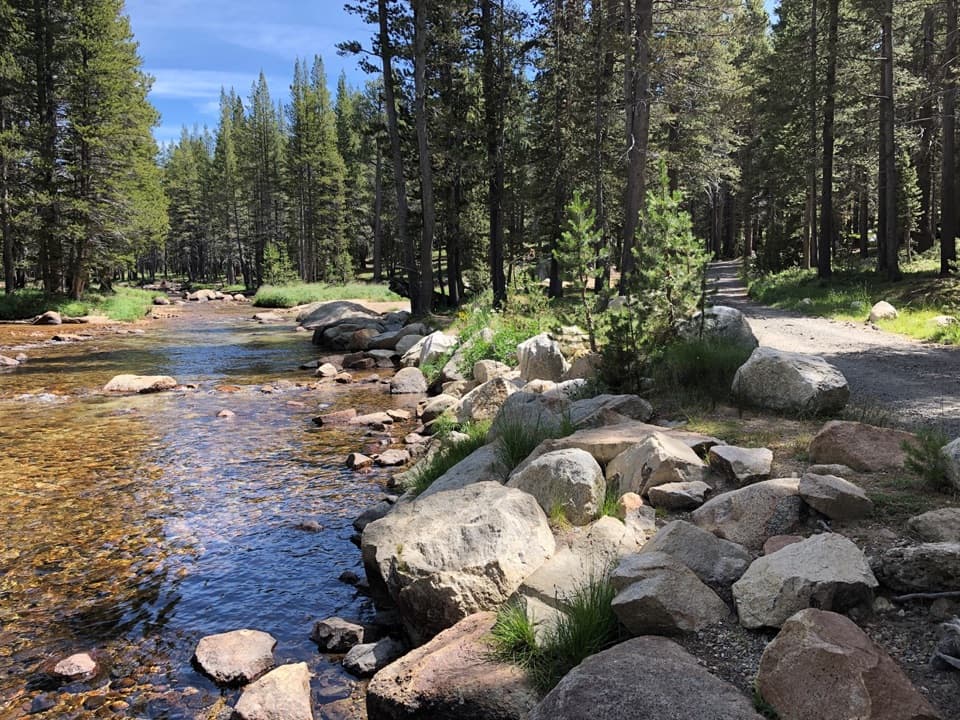 Campground · 0.4 mi awayTuolumne Meadows CampgroundA high-country base for Tuolumne's hikes, lakes, and river.
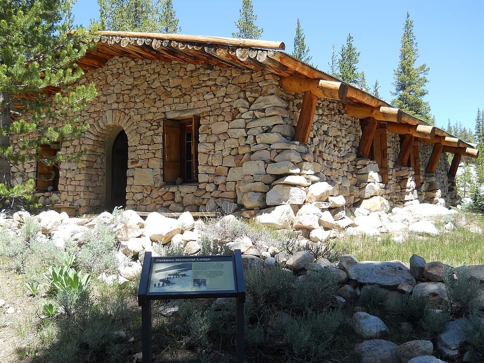 Sight · 0.5 mi awayParsons Memorial Lodge and Soda SpringsA short walk joins a 1915 lodge with bubbling meadow springs.
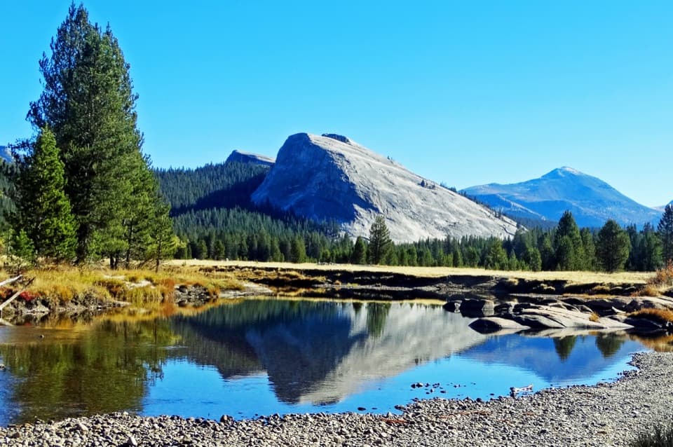 Sight · 0.7 mi awayLembert DomeA steep granite climb earns a wide-open Tuolumne panorama.
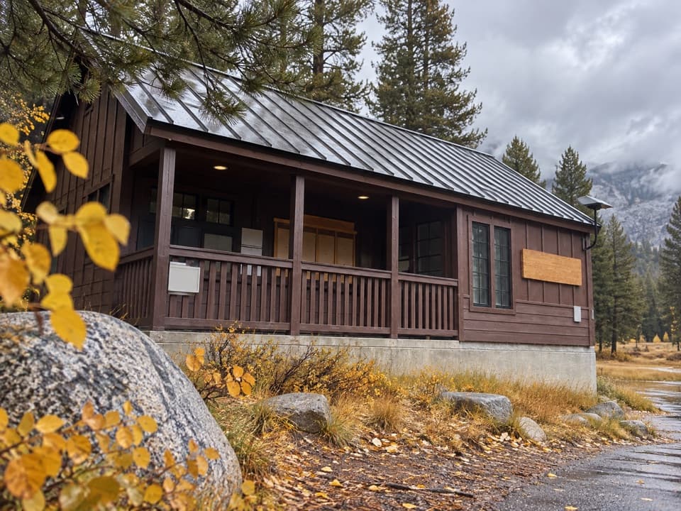 Ranger station · 0.7 mi awayTuolumne Meadows Wilderness CenterTalk over your route and get a backcountry permit.
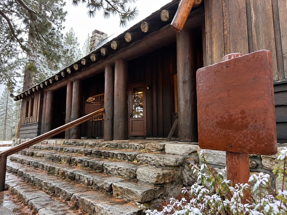 Visitor center · 1 mi awayTuolumne Meadows Visitor CenterA ranger desk, geology exhibits and a CCC story beside the meadow.
 Lodging · 1.4 mi awayTuolumne Meadows LodgeCanvas cabins beside the river, with trails on your doorstep.
Parkwolf’s Yosemite ranking

The audio tour guide for the drive, plus offline maps, trails, and wildlife heatmaps for when the signal drops.





