Parking
Start at the Crane Flat Lookout Road turnoff on Big Oak Flat Road, about 0.8 mile west of the Crane Flat junction. A designated lot at the gate was not confirmed; do not block the gate or road.

Yosemite National Park, CA
A steady climb to a 1931 fire lookout with wide views.
Overview
Map & elevation
Plan your hike

“Crane Flat Gas Station is ahead, at the junction of Big Oak Flat Road and Tioga Road. It's a practical stop for unleaded or diesel, with groceries, ice and maps in the general store.”
Yosemite Tour Guide
Parkwolf is a GPS audio tour guide for Yosemite National Park. As you drive, it chimes in with what’s ahead: hidden gems, upcoming stops, history, geology, and wildlife, right through your car’s speakers.
See the Yosemite audio tourRecorded for this area
Crane Flat Gas Station“Crane Flat Gas Station is ahead, at the junction of Big Oak Flat Road and Tioga Road. It's a practical stop for unleaded or diesel, with groceries, ice and maps in the general store.”
Plays on the road 0.5 mi from the trailhead in the Parkwolf Yosemite Tour Guide.
More stories near here in the app
“We just drove through Yosemite and it made our trip listening to this app as we drove through. Like having a tour guide in the car with you.”


Trail guide
Crane Flat Lookout Trail is a 3-mile out-and-back from the access-road gate on Big Oak Flat Road to a 1931 fire lookout. It climbs about 400 to 450 feet; allow around 1½ hours. Most of the walk follows a paved service road, so go for the unusual destination and the views, not for a rugged trail. A much shorter path begins near the top of the access road after driving up; that is a different outing.
The full walk starts at the Crane Flat Lookout Road turnoff, about 0.8 mile west of the Crane Flat junction. Follow the paved road uphill to the upper helibase area, then take the signed visitor path to the lookout. Near the top, that short path winds through an older burn area. Views open west and north on the approach; from the lookout walkway, look east toward distant Sierra peaks.
This was the first fire lookout built in Yosemite, in 1931. The wooden cab and wraparound balcony are the payoff for the climb, and the broad view makes this a good change of pace from the park's better-known stops. From the signed path, frame the lookout against the ridge or look east from the walkway; leave antennas and wires out of the shot without stepping into the work area.
The upper site sits beside an active fire and search-and-rescue helibase. Stay on the signed visitor path and keep clear of operations. The park's hiking information does not clearly describe public access to the lookout or tower entry, so follow posted restrictions and turn back if access is closed. Parking at the lower gate is not well documented; do not block the access road. Pets are not allowed on Yosemite hiking trails. Crane Flat has a year-round gas station and a store in summer, but services are not at the lookout.
Wildlife
 732 sightingsBlack BearMost seen around 7 PMSighting map
 1,747 sightingsMule DeerMost seen around 6 PMSighting map
 332 sightingsCoyoteMost seen around 7 PMSighting map
 11 sightingsPeregrine FalconMost seen around 8 AMSighting map
 276 sightingsPikaMost seen around 8 AMSighting map
 677 sightingsYellow-bellied MarmotMost seen around 8 AMSighting map
Sighting maps show where each species has been reported across Yosemite. Wildlife moves, so no sighting is guaranteed.
Keep exploring
 ModerateTuolumne Grove Trail2.5 mi · 2 hr · 0.8 mi awayThe walk-through Dead Giant makes the steep return worthwhile.
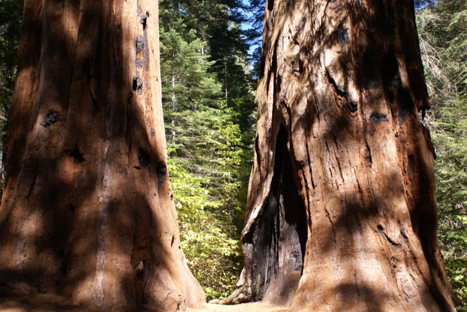 ModerateMerced Grove Trail3 mi · 2.5 hr · 2.4 mi awayA secluded sequoia grove rewards the steep uphill return.
 ModerateCascade Creek Trail from Tamarack Flat4.4 mi · 2.3 hr · 3.7 mi awayAn old forest road ends at a footbridge and small cascades.
 ChallengingTamarack Flat to Yosemite Valley Trail17 mi · 10.5 hr · 3.7 mi awayCross the north rim, then descend Yosemite Falls to the Valley.
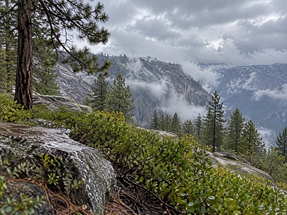 ChallengingEl Capitan from Tamarack Creek16 mi · 10 hr · 3.8 mi awayA long forest climb to El Capitan's broad summit views.
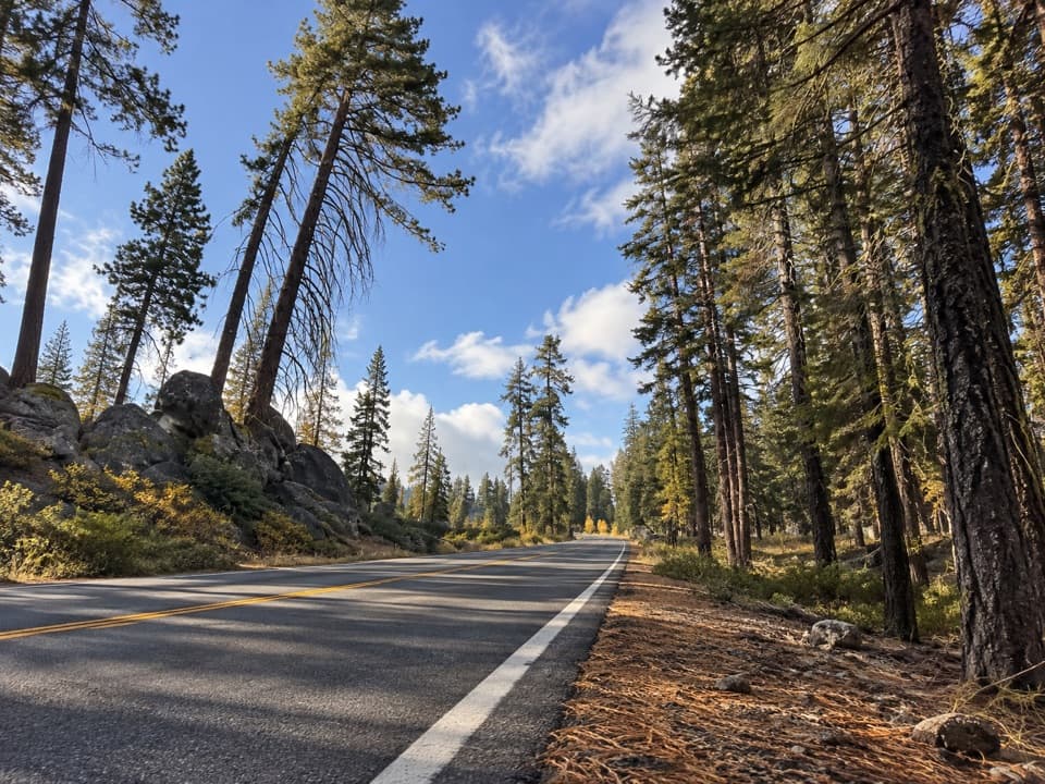 ModerateSouth Fork Tuolumne River Trail5.8 mi · 4.5 hr · 4.2 mi awayA quiet forest descent to the South Fork Tuolumne.
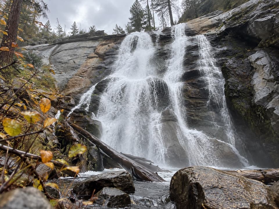 EasyForesta Falls Trail1.8 mi · 1.3 hr · 4.2 mi awayA short road walk to a tucked-away Crane Creek waterfall.
 EasyLittle Nellie Falls Trail5.6 mi · 3 hr · 4.3 mi awayA quiet old road leads from Big Meadow toward a small waterfall.
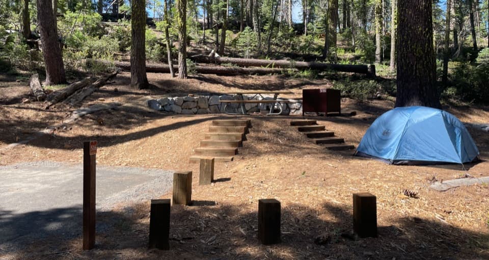 Campground · 0.2 mi awayCrane Flat CampgroundForest camping near Yosemite Valley and two giant sequoia groves.
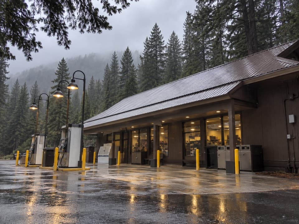 Gas station · 0.5 mi awayCrane Flat Gas StationFuel, groceries and a useful break at Yosemite's northern road junction.
 Sight · 1.3 mi awayCrane Flat Fire LookoutA 1931 fire tower and broad views, with a working helibase nearby.
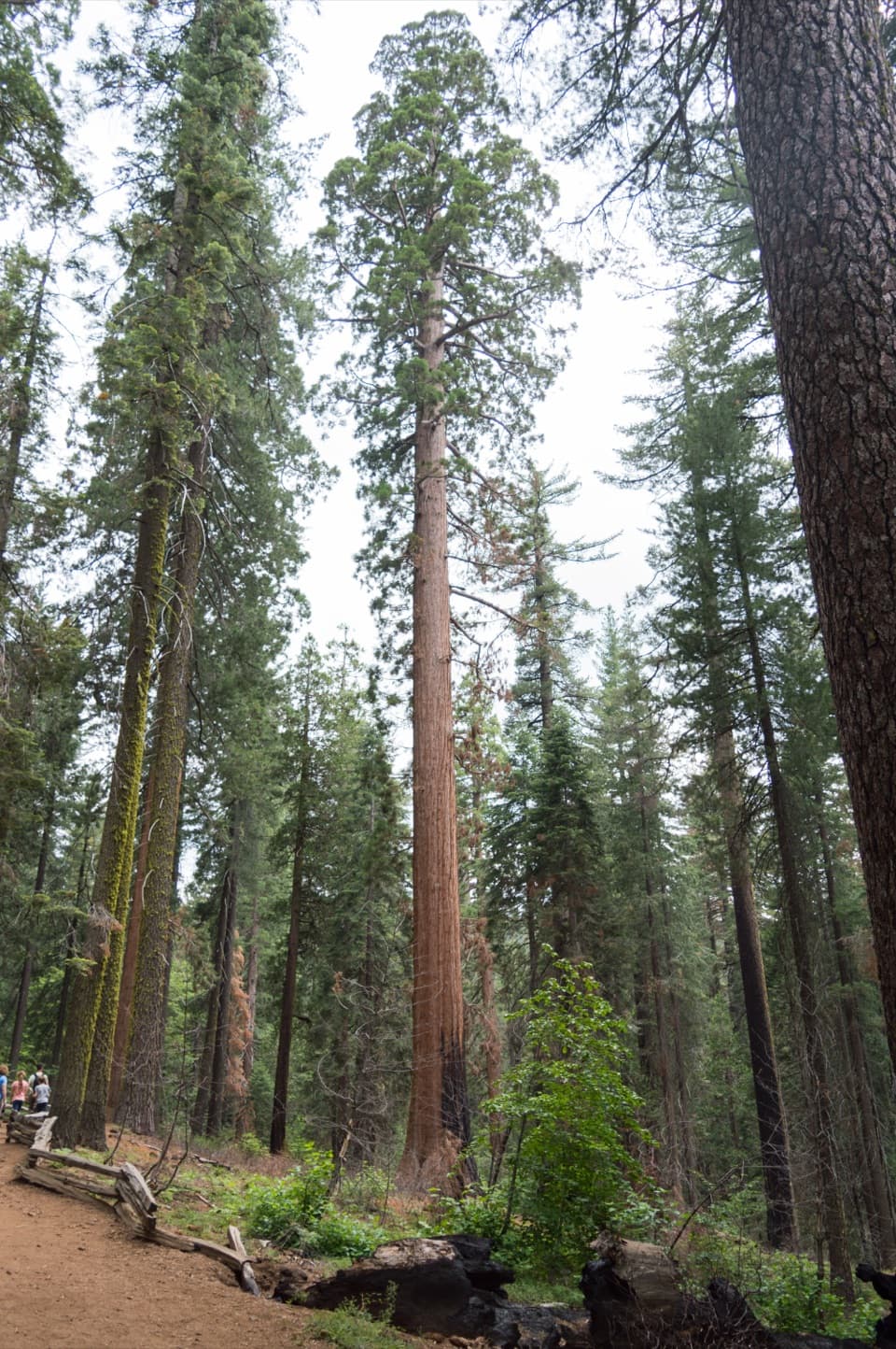 Sight · 1.6 mi awayTuolumne GroveTwo dozen sequoias are worth the 500-foot climb back.Sight · 2 mi awayMerced GroveThe quiet sequoia grove saves its climb for the way back.
 Campground · 3.6 mi awayTamarack Flat CampgroundForest camping with a trail toward Yosemite's North Rim.
 Campground · 5 mi awayHodgdon Meadow CampgroundA west-side base, with Yosemite Valley about 45 minutes away.
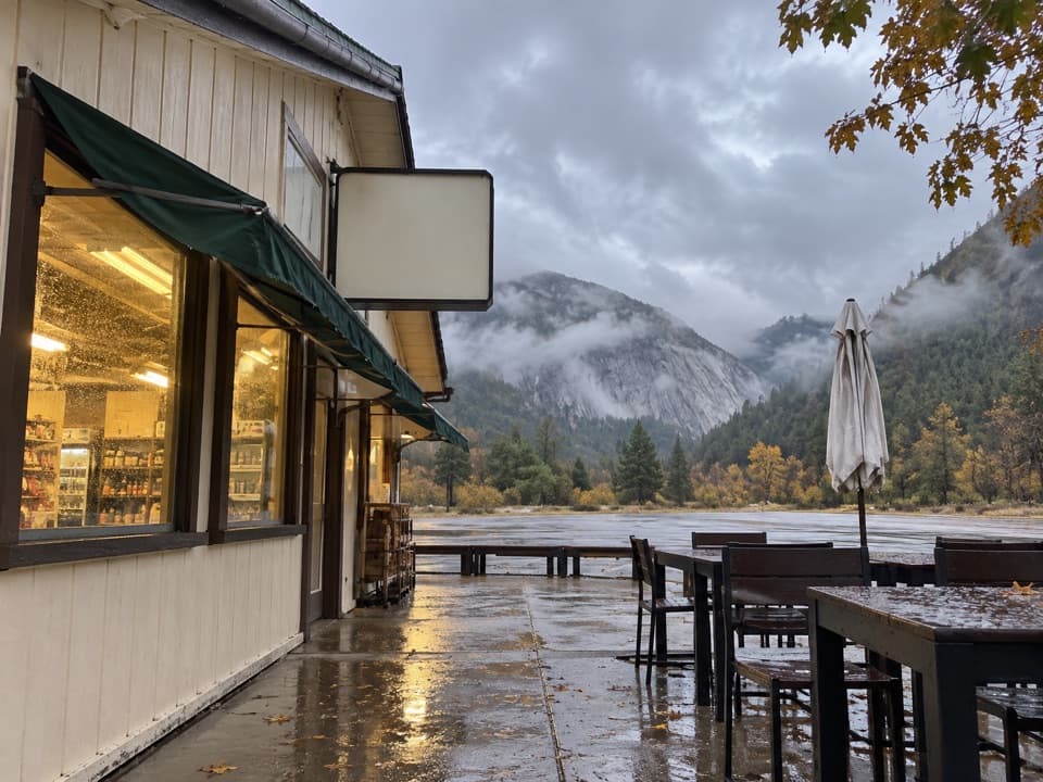 Gas station · 5.2 mi awayEl Portal Gas Station and MarketFuel, groceries and EV charging on Yosemite's western approach.
Parkwolf’s Yosemite ranking

The audio tour guide for the drive, plus offline maps, trails, and wildlife heatmaps for when the signal drops.





