Parking
Access the South Fork Tuolumne River wilderness trailhead from Tioga Road. No developed lot is identified in the trailhead information; confirm the legal roadside access before starting.
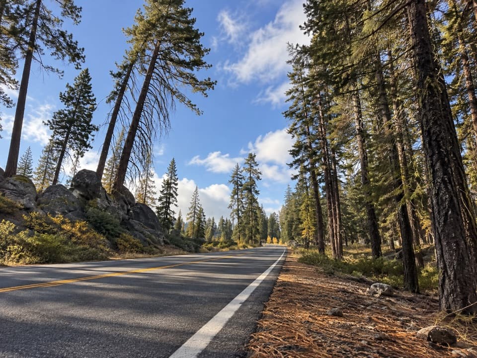
Yosemite National Park, CA
A quiet forest descent to the South Fork Tuolumne.
Overview
This is a 5.8-mile out-and-back from the South Fork Tuolumne River trailhead on Tioga Road to the river and back. The published route description gives 2.9 miles each way; the available map line is about 2.5 miles to the river, so plan around the longer figure. The trail drops roughly 1,180 feet to the river, then climbs that ground again on the return. Allow about four to five hours, especially if you need time to keep the faint route in view. This suits hikers comfortable navigating a lightly used wilderness trail.
 Parkwolf’s verdictIs this the hike for you?
Map & elevation
Plan your hike

“Up ahead is the South Fork Tuolumne River trailhead on Tioga Road, for a lightly used forest hike down to the river.”
Yosemite Tour Guide
Parkwolf is a GPS audio tour guide for Yosemite National Park. As you drive, it chimes in with what’s ahead: hidden gems, upcoming stops, history, geology, and wildlife, right through your car’s speakers.
See the Yosemite audio tourRecorded for this trailhead
South Fork Tuolumne River Trailhead“Up ahead is the South Fork Tuolumne River trailhead on Tioga Road, for a lightly used forest hike down to the river.”
Plays as you drive up to this trailhead in the Parkwolf Yosemite Tour Guide.
More stories near here in the app
“We just drove through Yosemite and it made our trip listening to this app as we drove through. Like having a tour guide in the car with you.”


Trail guide
The path winds through old burn areas and mixed conifer forest. It sees little traffic, and the tread can be difficult to follow. Keep a detailed offline map available and turn around if you lose the line. The South Fork is the destination for this outing; the longer route onward to Aspen Valley is a separate backcountry commitment.
Wildlife
 732 sightingsBlack BearMost seen around 7 PMSighting map
 1,747 sightingsMule DeerMost seen around 6 PMSighting map
 332 sightingsCoyoteMost seen around 7 PMSighting map
 11 sightingsPeregrine FalconMost seen around 8 AMSighting map
 276 sightingsPikaMost seen around 8 AMSighting map
 677 sightingsYellow-bellied MarmotMost seen around 8 AMSighting map
Sighting maps show where each species has been reported across Yosemite. Wildlife moves, so no sighting is guaranteed.
Keep exploring
 ModerateCascade Creek Trail from Tamarack Flat4.4 mi · 2.3 hr · 2.3 mi awayAn old forest road ends at a footbridge and small cascades.
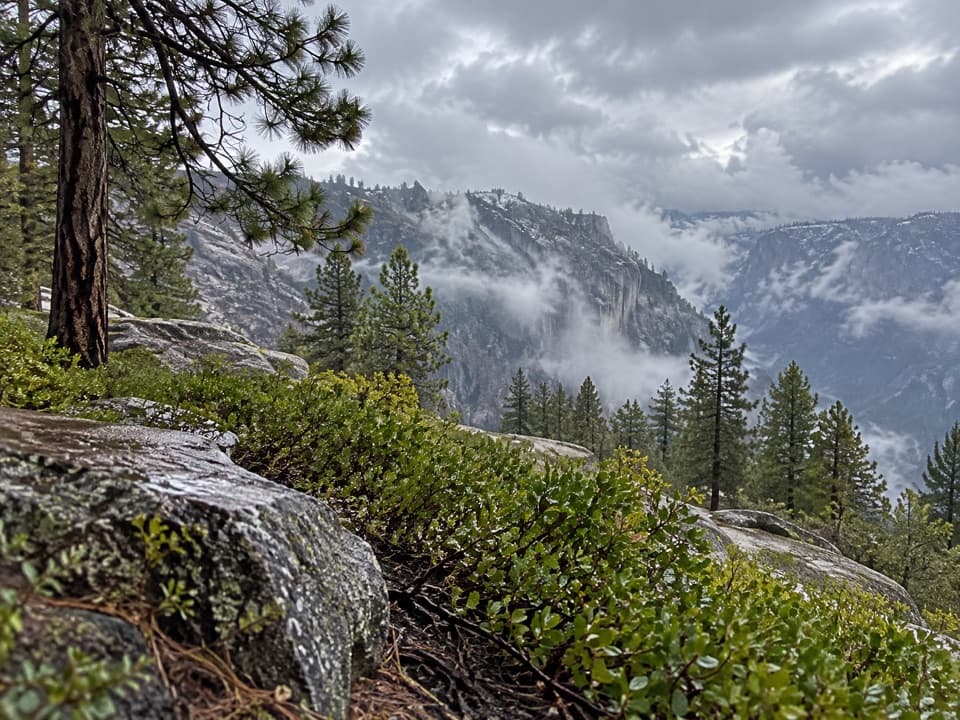 ChallengingEl Capitan from Tamarack Creek16 mi · 10 hr · 2.4 mi awayA long forest climb to El Capitan's broad summit views.
 ChallengingTamarack Flat to Yosemite Valley Trail17 mi · 10.5 hr · 2.4 mi awayCross the north rim, then descend Yosemite Falls to the Valley.
 ModerateTuolumne Grove Trail2.5 mi · 2 hr · 4 mi awayThe walk-through Dead Giant makes the steep return worthwhile.
 EasyCrane Flat Lookout Trail3 mi · 1.5 hr · 4.2 mi awayA steady climb to a 1931 fire lookout with wide views.
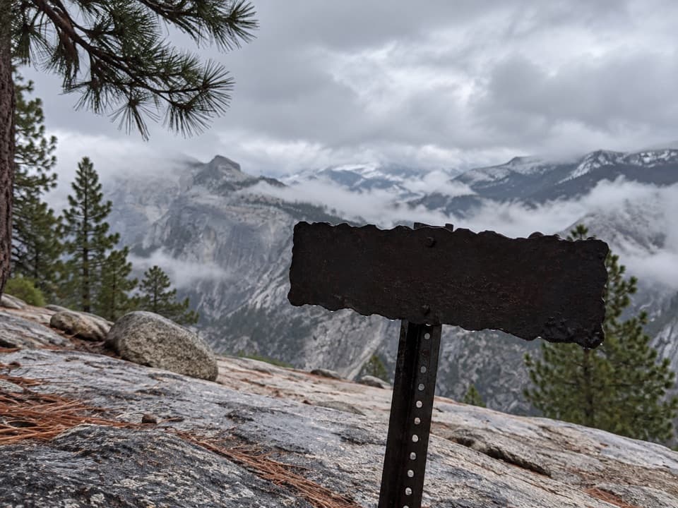 ChallengingFull North Rim Traverse29.1 mi · 17 hr · 4.8 mi awayCross four granite summits on a true North Rim traverse.
 EasyTurtleback Dome Trail1.2 mi · 1 hr · 5.4 mi awayA short climb ends on granite above Yosemite Valley.
 EasyLittle Nellie Falls Trail5.6 mi · 3 hr · 5.7 mi awayA quiet old road leads from Big Meadow toward a small waterfall.
 Campground · 2.3 mi awayTamarack Flat CampgroundForest camping with a trail toward Yosemite's North Rim.
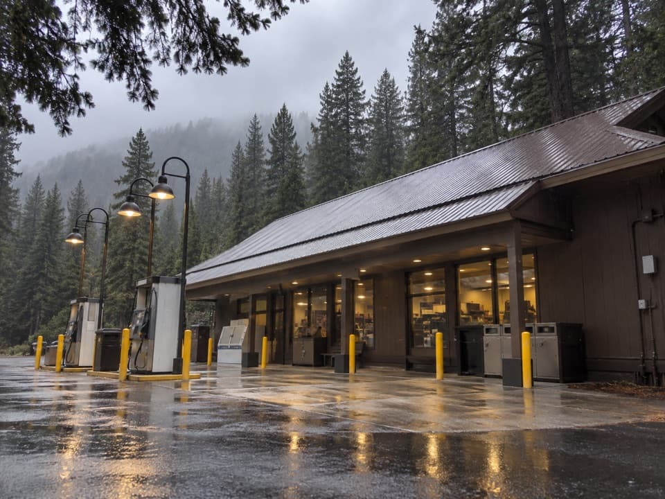 Gas station · 3.7 mi awayCrane Flat Gas StationFuel, groceries and a useful break at Yosemite's northern road junction.
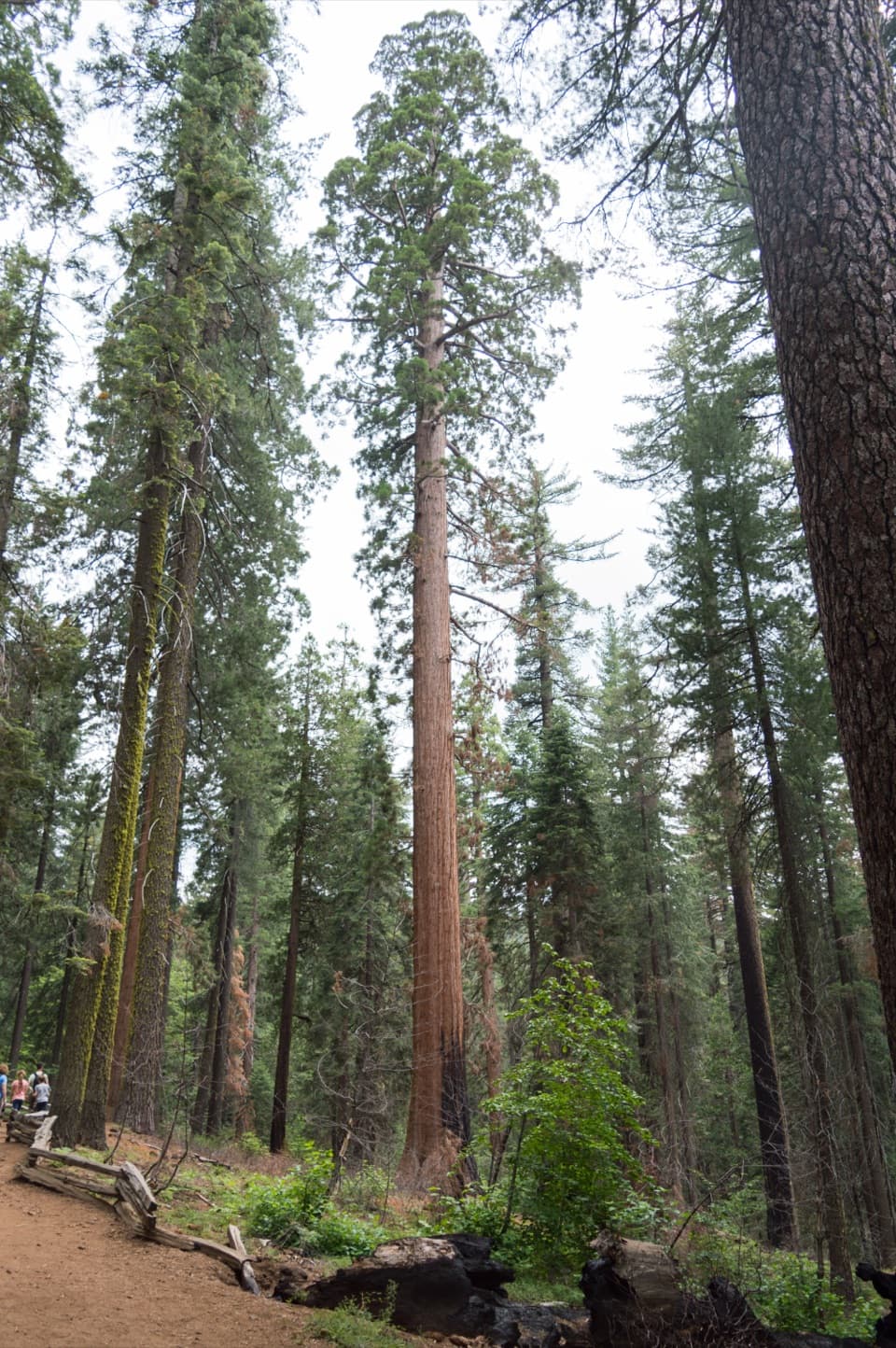 Sight · 3.8 mi awayTuolumne GroveTwo dozen sequoias are worth the 500-foot climb back.
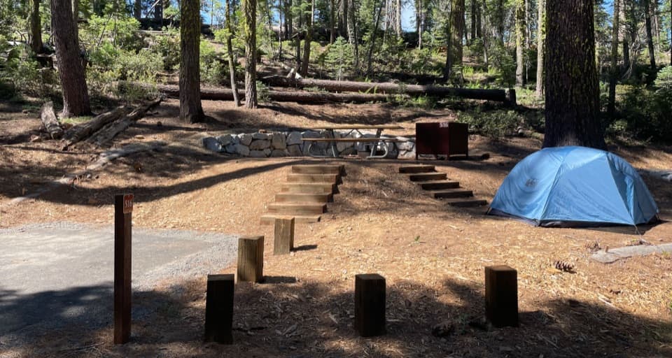 Campground · 4 mi awayCrane Flat CampgroundForest camping near Yosemite Valley and two giant sequoia groves.
 Picnic area · 4.5 mi awayThe Cascades Picnic AreaA shady lunch stop with a waterfall just across the road.
 Sight · 4.7 mi awayCrane Flat Fire LookoutA 1931 fire tower and broad views, with a working helibase nearby.
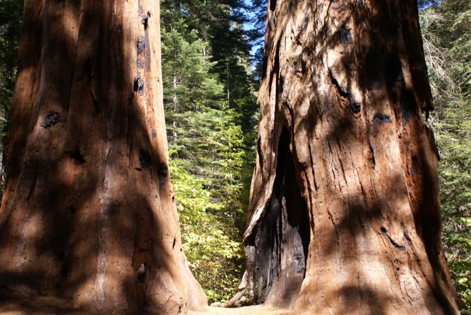 Sight · 5.9 mi awayMerced GroveThe quiet sequoia grove saves its climb for the way back.
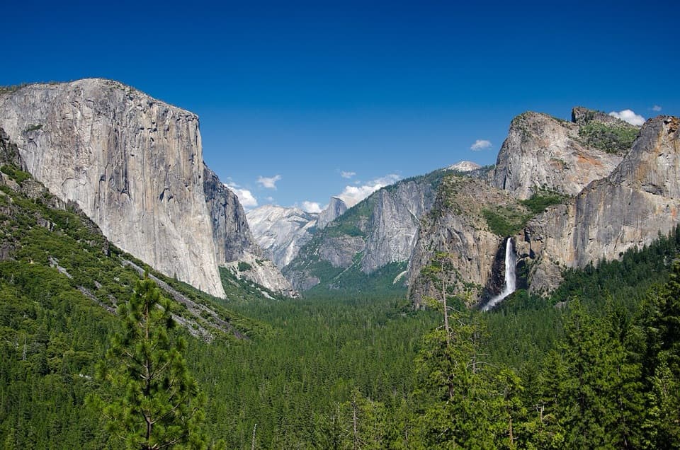 Sight · 5.9 mi awayTunnel ViewThe valley opens in one huge panorama beyond the tunnel.
Parkwolf’s Yosemite ranking
The audio tour guide for the drive, plus offline maps, trails, and wildlife heatmaps for when the signal drops.





