Little Nellie Falls Trail in Yosemite National Park

Yosemite National Park, CA

Little Nellie Falls Trail

A quiet old road leads from Big Meadow toward a small waterfall.

Length
5.6mi
Time
3hr
Elev. change
515ft
Difficulty
Easy
  • No dogs
  • High point 4,816 ft

Hear the audio tour

The Army's Park Patrols

Overview

About Little Nellie Falls Trail

Why go

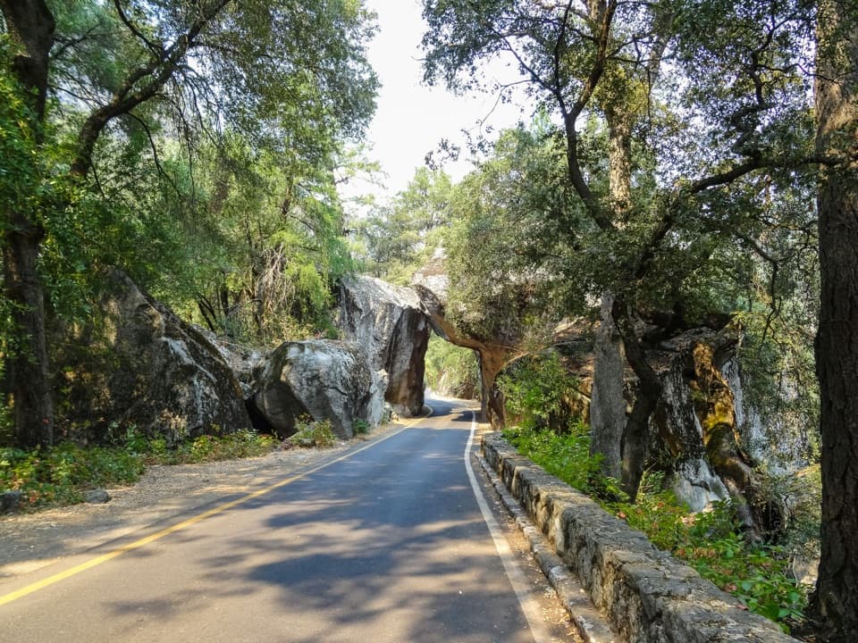
  • A broad old road with a gentle grade
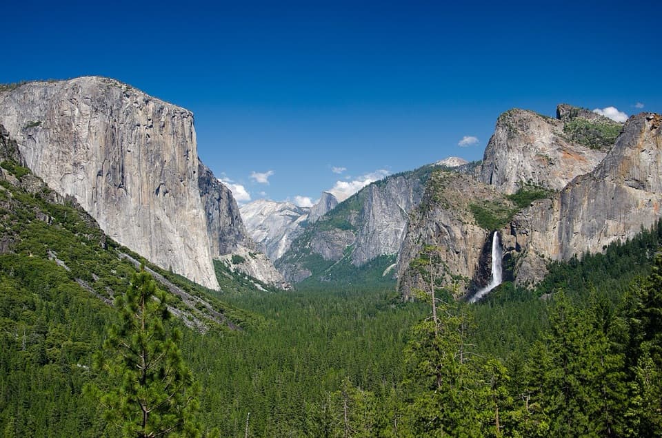
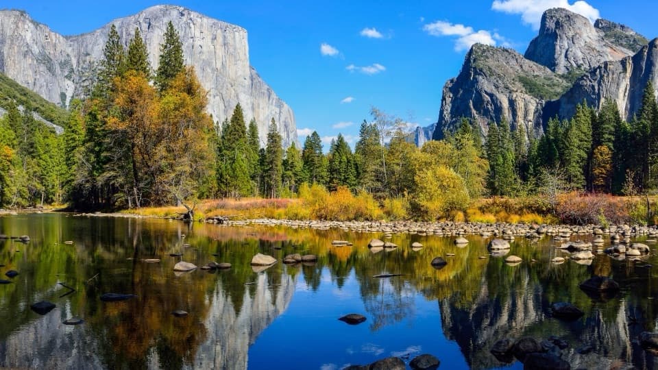
  • Big Meadow views toward El Capitan and Half Dome
  • A small waterfall, cascades, and a shallow pool

Heads up

  • An unmarked roadside start and uncertain pedestrian access at the early bridge
  • The stored line stops short of the final creek-side approach

Map & elevation

The route

Loading the Yosemite map
Full map
Elevation4,301–4,816 ft
TrailheadSoutheast Big Meadow / Old Coulterville Road fork37.70254, -119.75015
Keep this map with you offline in the Parkwolf app

Plan your hike

Before you go

Parking

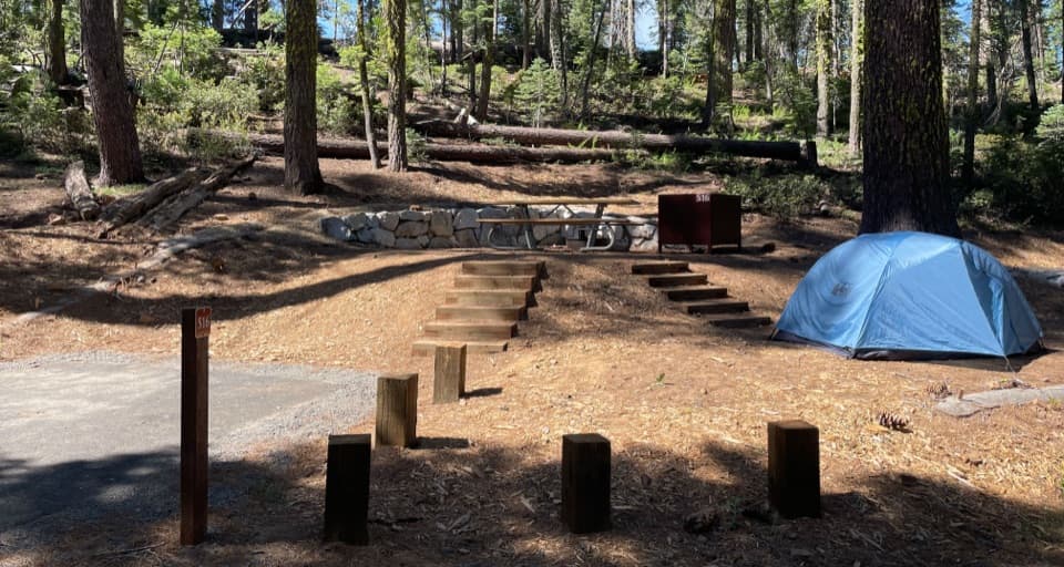
Use the small roadside pullout at the fork on the southeast side of Big Meadow, where Old Coulterville Road branches from Forest Road. There is no formal trailhead or designated lot; if it is full, use only a legal roadside space that does not block the road or nearby homes.

Safety

The early Crane Creek bridge has conflicting pedestrian-access information and an old deterioration warning; current safety and legal access are unconfirmed. Check before setting out and do not cross if it looks unsound. At the falls, the picnic-table clearing is across Little Crane Creek with no bridge; rocks or a log may be needed to cross.

4 active Yosemite alerts

  • ClosureDome Fire closes Glacier Point Road and trailsGlacier Point Road is temporarily closed because Dome Fire smoke reduces visibility and to allow firefighting operations; some trails south of the road are also closed.Official details
  • CautionMist Trail access limited during October repairsThe Mist Trail between its John Muir Trail junction above the Vernal Fall footbridge and the top of Vernal Fall has limited access through October for repair work.Official details
See all 4 alerts
The Parkwolf Tour Guide on a dash-mounted phone, driving into Yosemite Valley

“Before there was a National Park Service, Yosemite had Army patrols. Some were Buffalo Soldiers, Black men serving in segregated Army regiments.”

Yosemite Tour Guide

Yosemite, narrated.

Parkwolf is a GPS audio tour guide for Yosemite National Park. As you drive, it chimes in with what’s ahead: hidden gems, upcoming stops, history, geology, and wildlife, right through your car’s speakers.

See the Yosemite audio tour

Recorded for this area

The Army's Park Patrols
0:00 / 0:33
“Before there was a National Park Service, Yosemite had Army patrols. Some were Buffalo Soldiers, Black men serving in segregated Army regiments.”

Plays on the road 1.3 mi from the trailhead in the Parkwolf Yosemite Tour Guide.

More stories near here in the app

  • The Train to El Portal
  • Arch Rock Entrance
  • Green Clumps in Bare Oaks
  • Watch for the Pounce
  • 125 audio storiesacross Yosemite’s roads, triggered by GPS as you drive
  • Wildlife heatmapsfor Black Bear, Peregrine Falcon, Mule Deer, and 13 more
  • Works offlinemaps, 141 trails, 99 places, and audio download before you lose signal
  • CarPlay readysimple controls built for the drive
★★★★★
“We just drove through Yosemite and it made our trip listening to this app as we drove through. Like having a tour guide in the car with you.”
Roddy 3210App Store review
Download Parkwolf on the App StoreGet Parkwolf on Google Play

4.7 from 8,600+ ratings

Trail guide

Hiking Little Nellie Falls Trail

What this walk isLittle Nellie Falls Trail is a 5.

Little Nellie Falls Trail is a 5.6-mile out-and-back walk from Big Meadow along Old Coulterville Road to Little Crane Creek. The broad, fairly smooth old road climbs gently; allow about two to four hours for the walk and stops. Most of the route is inside Yosemite, while the falls sit just over the boundary in Stanislaus National Forest. This is a quiet, low-key outing for a small waterfall and a meadow view, not a steep Yosemite climb.

Follow the old roadStart at the right fork at Big Meadow's southeast end and follow the road along the meadow's…

Start at the right fork at Big Meadow's southeast end and follow the road along the meadow's south side before it turns north. Take the right fork at each of the two 1st Street junctions and at Flying Spur Road, then stay left at the last fork; the right branch climbs toward Crane Flat Campground. The stored map follows the road one way and reports the full return distance separately. It ends at the closest mapped road point to the falls, about 440 feet from the mapped waterfall location; the short final approach to the creek is not mapped, so check the tread before leaving the road.

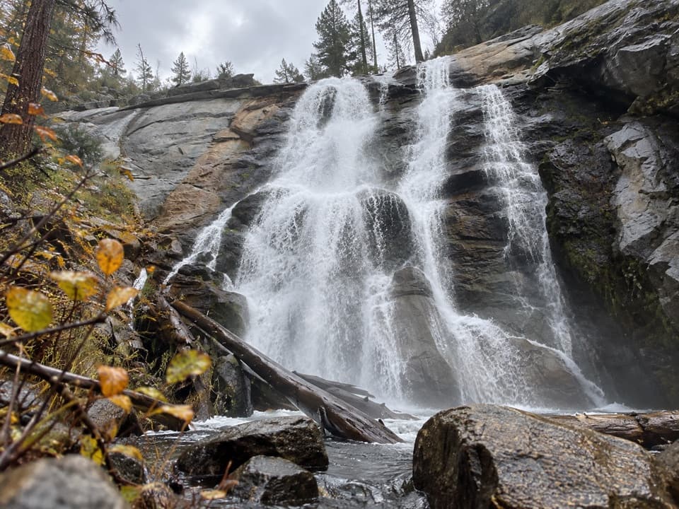
Little Crane CreekThe falls are about 15 feet high, with smaller cascades and a shallow pool below.

The falls are about 15 feet high, with smaller cascades and a shallow pool below. Spring, especially April and May, is the best-supported time for stronger flow and wildflowers; Indian rhubarb may grow from the streambed below the falls. The picnic-table clearing is across the creek and has no bridge. Reaching it can mean finding a safe rock or log crossing, and it is fine to enjoy the falls from your side instead.

Start and accessThere is a small roadside pullout at the Old Coulterville Road fork on the southeast side of…

There is a small roadside pullout at the Old Coulterville Road fork on the southeast side of Big Meadow, but no formal trailhead or designated lot. An old creek bridge comes shortly after the meadow. Its current pedestrian status and condition are unclear, so verify safe, legal access before setting out and do not cross if it looks unsound. Pets are not allowed on this unpaved route through Yosemite.

Wildlife

Wildlife in Yosemite

All Yosemite wildlife maps

Sighting maps show where each species has been reported across Yosemite. Wildlife moves, so no sighting is guaranteed.

Keep exploring

Near Little Nellie Falls Trail

See it all on the map

Trails that start nearby

Places near the trailhead

Parkwolf’s Yosemite ranking

Top-rated trails in Yosemite

All 141 trails
  1. 1Half Dome TrailChallenging · 14.3 mi
  2. 2Clouds Rest TrailChallenging · 14 mi
  3. 3Nevada Fall Loop via Mist and John Muir TrailsChallenging · 6.4 mi
  4. 4Yosemite Falls TrailChallenging · 7.2 mi
  5. 5Panorama TrailChallenging · 8.2 mi
  6. 6Four Mile TrailChallenging · 4.8 mi

Take Parkwolf to Yosemite.

The audio tour guide for the drive, plus offline maps, trails, and wildlife heatmaps for when the signal drops.

4.7 from 8,600+ ratings

Download Parkwolf on the App StoreGet Parkwolf on Google Play