Parking
End of paved Foresta Road near Lyell Way, before the road-closed sign; the small pullout fits about two cars. Keep driveways clear and do not drive beyond the sign.
Yosemite National Park, CA
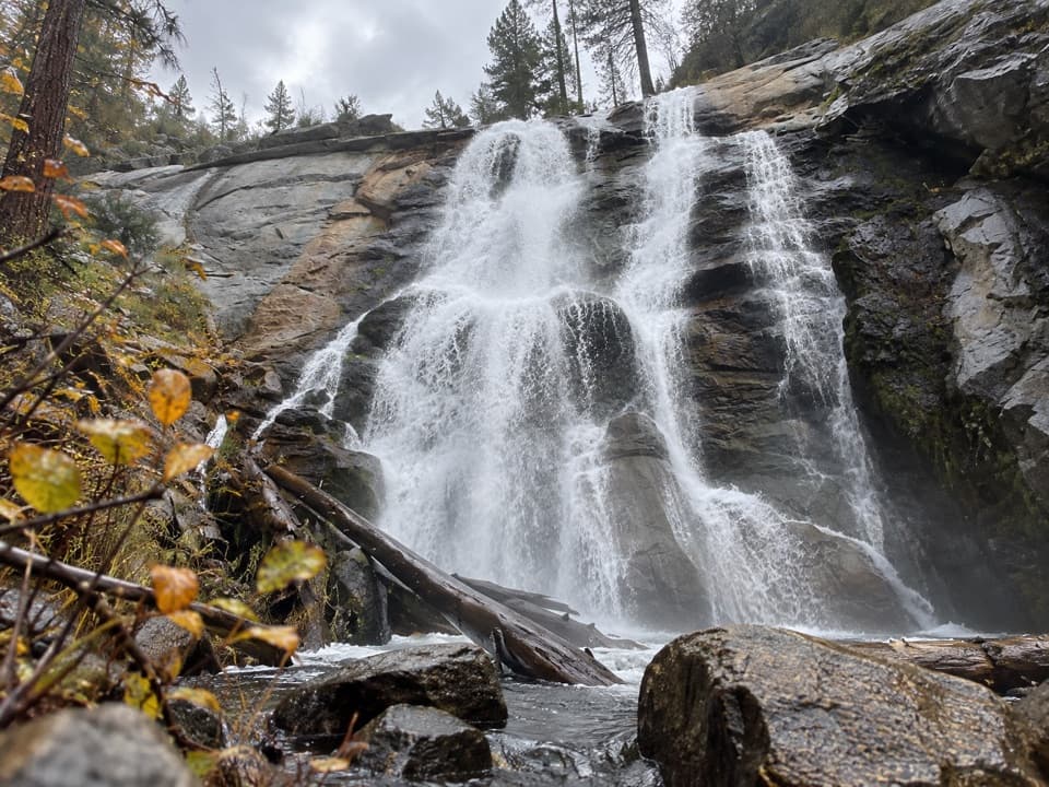
A short road walk to a tucked-away Crane Creek waterfall.
Overview
Map & elevation
Plan your hike

“After Yosemite’s black oaks lose their leaves, green clumps can remain among the bare branches. Those may be leafy mistletoe, a separate plant living on the tree.”
Yosemite Tour Guide
Parkwolf is a GPS audio tour guide for Yosemite National Park. As you drive, it chimes in with what’s ahead: hidden gems, upcoming stops, history, geology, and wildlife, right through your car’s speakers.
See the Yosemite audio tourRecorded for this area
Green Clumps in Bare Oaks“After Yosemite’s black oaks lose their leaves, green clumps can remain among the bare branches. Those may be leafy mistletoe, a separate plant living on the tree.”
Plays on the road 1.3 mi from the trailhead in the Parkwolf Yosemite Tour Guide.
More stories near here in the app
“We just drove through Yosemite and it made our trip listening to this app as we drove through. Like having a tour guide in the car with you.”


Trail guide
Foresta Falls Trail is an easy 1.8-mile out-and-back on an unpaved road from Foresta to the first bridge across Crane Creek. The main cascade is right beside the bridge. Allow about an hour to an hour and a half; the road drops roughly 300 feet on the way down, so save some energy for the uphill return. It is a simple waterfall outing, though this is an informal road walk, not an NPS-maintained trail.
Start where the pavement ends near Lyell Way. The unpaved road heads downhill, staying near Crane Creek for much of the way before bending away around a meadow and making a switchback. It turns back toward the water as you approach the falls, which may come into view before the bridge. Keep to this road for the route in the map; side paths toward the upper cascades are rougher and are not part of this walk.
The first bridge over Crane Creek sits beside the lowest and tallest cascade, reported at about 40 feet. Foresta Falls is a series of cascades along the creek, but much of the upper water is hidden from the road. Spring runoff and early summer usually bring the strongest flow. From the bridge, frame the falling water against the granite ledge; the bridge is the turnaround for this route.
Park at the small pullout where pavement ends, before the road-closed sign, and keep neighborhood driveways clear. Do not drive beyond the sign. Visitor directions describe walking the road, but official pedestrian access beyond the vehicle closure line is unconfirmed; check posted rules before setting out and respect nearby private homes. Pets are not allowed on this unpaved trail route; service animals are permitted.
Wildlife
 732 sightingsBlack BearMost seen around 7 PMSighting map
 1,747 sightingsMule DeerMost seen around 6 PMSighting map
 332 sightingsCoyoteMost seen around 7 PMSighting map
 11 sightingsPeregrine FalconMost seen around 8 AMSighting map
 276 sightingsPikaMost seen around 8 AMSighting map
 677 sightingsYellow-bellied MarmotMost seen around 8 AMSighting map
Sighting maps show where each species has been reported across Yosemite. Wildlife moves, so no sighting is guaranteed.
Keep exploring
 EasyLittle Nellie Falls Trail5.6 mi · 3 hr · 0.5 mi awayA quiet old road leads from Big Meadow toward a small waterfall.
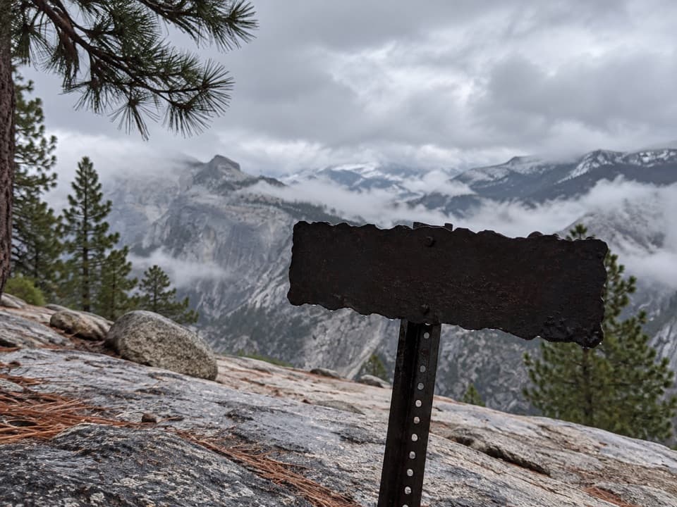 ChallengingFull North Rim Traverse29.1 mi · 17 hr · 1.6 mi awayCross four granite summits on a true North Rim traverse.
 EasyTurtleback Dome Trail1.2 mi · 1 hr · 2.8 mi awayA short climb ends on granite above Yosemite Valley.
 ChallengingTamarack Flat to Yosemite Valley Trail17 mi · 10.5 hr · 3.8 mi awayCross the north rim, then descend Yosemite Falls to the Valley.
 ModerateCascade Creek Trail from Tamarack Flat4.4 mi · 2.3 hr · 3.9 mi awayAn old forest road ends at a footbridge and small cascades.
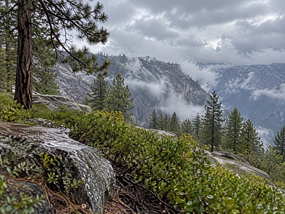 ChallengingEl Capitan from Tamarack Creek16 mi · 10 hr · 3.9 mi awayA long forest climb to El Capitan's broad summit views.
 EasyCrane Flat Lookout Trail3 mi · 1.5 hr · 4.2 mi awayA steady climb to a 1931 fire lookout with wide views.
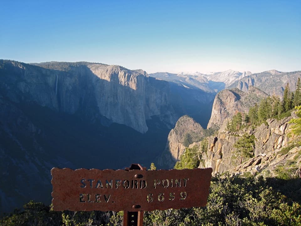 ChallengingStanford Point Trail7.6 mi · 6 hr · 4.6 mi awayA steep south-rim climb ends at a granite valley overlook.
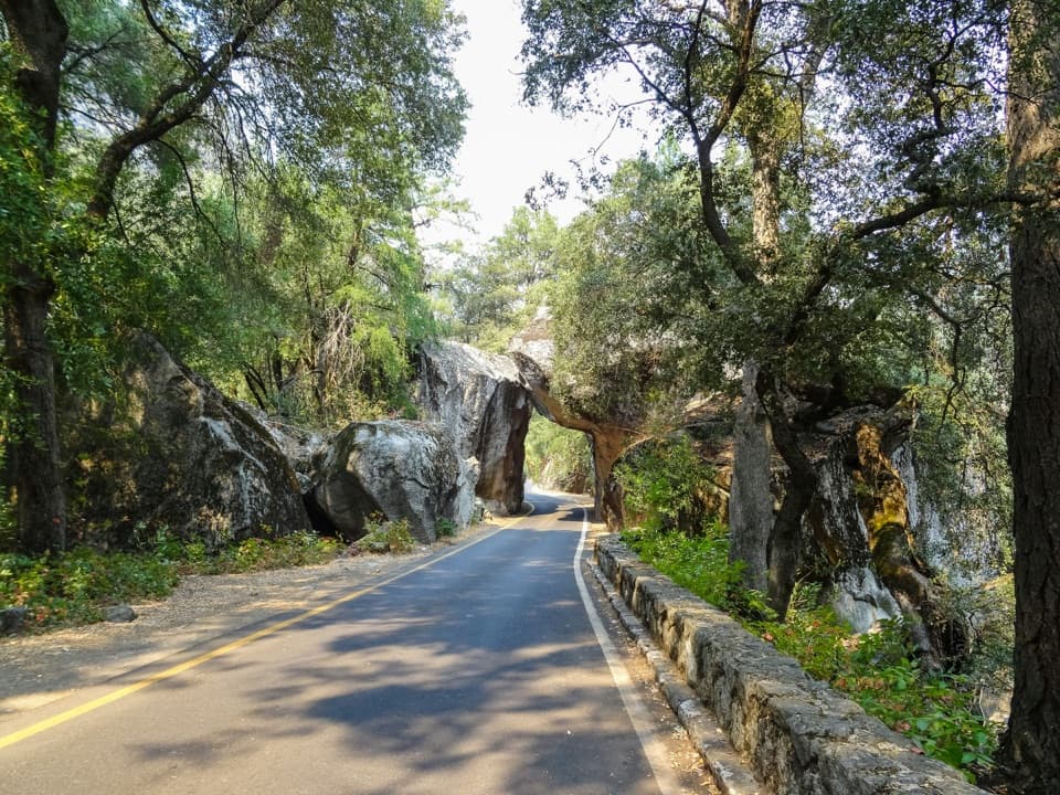 Entrance station · 1.7 mi awayArch Rock EntranceDrive beneath the boulder arch at the Highway 140 entrance.
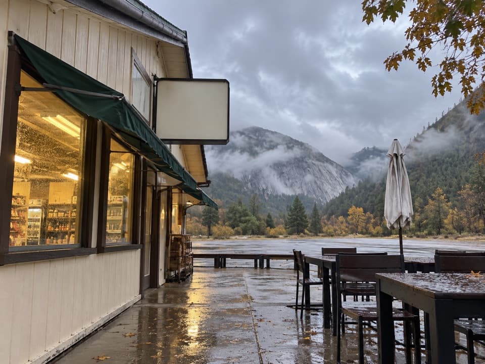 Gas station · 2.1 mi awayEl Portal Gas Station and MarketFuel, groceries and EV charging on Yosemite's western approach.
 Picnic area · 3 mi awayThe Cascades Picnic AreaA shady lunch stop with a waterfall just across the road.
 Campground · 3.8 mi awayTamarack Flat CampgroundForest camping with a trail toward Yosemite's North Rim.
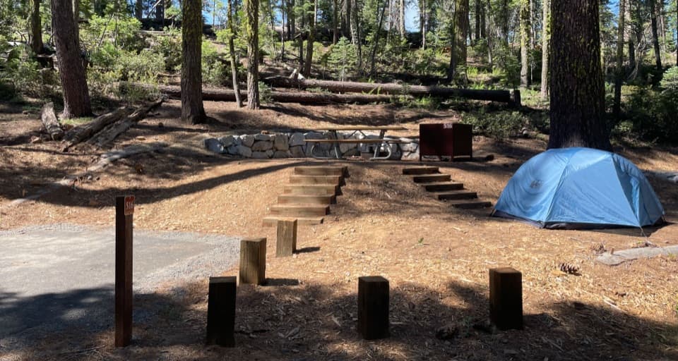 Campground · 4.3 mi awayCrane Flat CampgroundForest camping near Yosemite Valley and two giant sequoia groves.
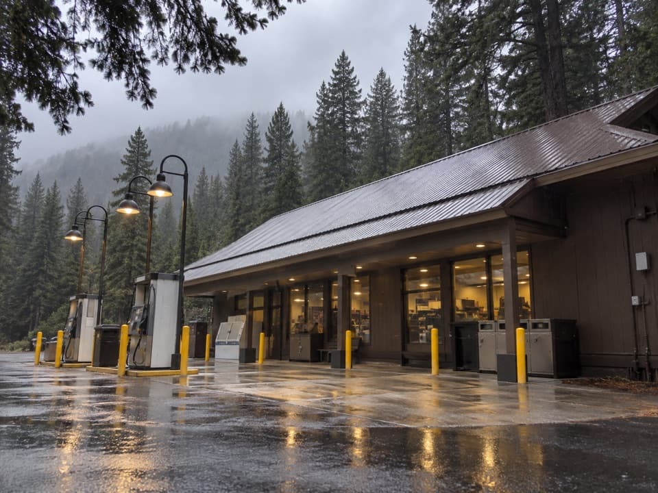 Gas station · 4.4 mi awayCrane Flat Gas StationFuel, groceries and a useful break at Yosemite's northern road junction.
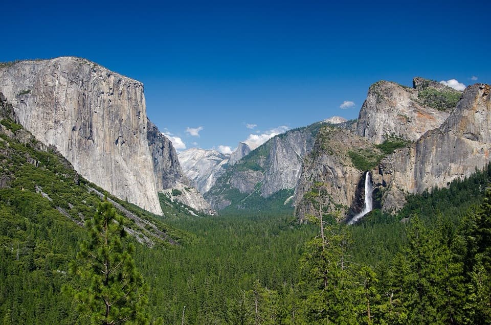 Sight · 4.6 mi awayTunnel ViewThe valley opens in one huge panorama beyond the tunnel.
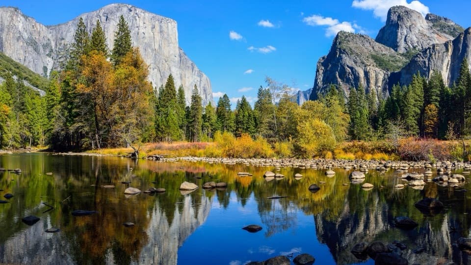 Sight · 5.4 mi awayValley ViewGranite cliffs and Bridalveil Fall framed across the Merced River.
Parkwolf’s Yosemite ranking

The audio tour guide for the drive, plus offline maps, trails, and wildlife heatmaps for when the signal drops.





