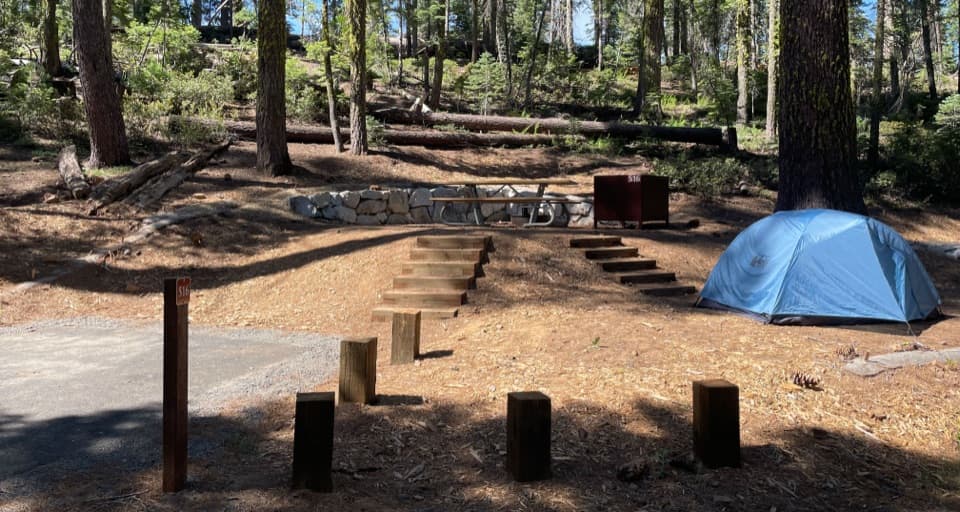
Full North Rim Traverse in Yosemite National Park

Yosemite National Park, CA

Full North Rim Traverse

Cross four granite summits on a true North Rim traverse.

Length
29.1mi
Time
17hr
Elev. change
3,986ft
Difficulty
Challenging
  • No dogs
  • High point 8,087 ft

Hear the audio tour

The Army's Park Patrols

Overview

About Full North Rim Traverse

Why go

  • Four major high points, including El Capitan and North Dome
  • Close views toward Half Dome from the rocky North Rim

Heads up

  • 29.1 miles one way with 6,200 feet of climbing
  • Old-road access and current parking are unconfirmed

Map & elevation

The route

Loading the Yosemite map
Full map
Elevation4,101–8,087 ft
TrailheadOld Big Oak Flat Road access37.71445, -119.73630
Keep this map with you offline in the Parkwolf app

Plan your hike

Before you go

Parking

Current parking and exact access are not confirmed. The route starts along the Old Big Oak Flat Road alignment and ends at Mirror Lake, so arrange return transportation before setting out. A roadside V7 turnout mentioned in a 2013 account is not current parking guidance.

Safety

Exceptionally strenuous, with 6,200 feet of climbing and exposed granite cliff edges at summit viewpoints. The old-road start and its current passability are unconfirmed. The connected map line is 26.6 miles against the official 29.1-mile total; check route details before relying on it. Overnight wilderness trips require a permit; dogs are prohibited on trails and in wilderness.

4 active Yosemite alerts

  • ClosureDome Fire closes Glacier Point Road and trailsGlacier Point Road is temporarily closed because Dome Fire smoke reduces visibility and to allow firefighting operations; some trails south of the road are also closed.Official details
  • CautionMist Trail access limited during October repairsThe Mist Trail between its John Muir Trail junction above the Vernal Fall footbridge and the top of Vernal Fall has limited access through October for repair work.Official details
See all 4 alerts
The Parkwolf Tour Guide on a dash-mounted phone, driving into Yosemite Valley

“Before there was a National Park Service, Yosemite had Army patrols. Some were Buffalo Soldiers, Black men serving in segregated Army regiments.”

Yosemite Tour Guide

Yosemite, narrated.

Parkwolf is a GPS audio tour guide for Yosemite National Park. As you drive, it chimes in with what’s ahead: hidden gems, upcoming stops, history, geology, and wildlife, right through your car’s speakers.

See the Yosemite audio tour

Recorded for this area

The Army's Park Patrols
0:00 / 0:33
“Before there was a National Park Service, Yosemite had Army patrols. Some were Buffalo Soldiers, Black men serving in segregated Army regiments.”

Plays on the road 0.5 mi from the trailhead in the Parkwolf Yosemite Tour Guide.

More stories near here in the app

  • Watch for the Pounce
  • The Train to El Portal
  • The Cascades Picnic Area
  • Water Beneath the Meadow
  • 125 audio storiesacross Yosemite’s roads, triggered by GPS as you drive
  • Wildlife heatmapsfor Black Bear, Peregrine Falcon, Mule Deer, and 13 more
  • Works offlinemaps, 141 trails, 99 places, and audio download before you lose signal
  • CarPlay readysimple controls built for the drive
★★★★★
“We just drove through Yosemite and it made our trip listening to this app as we drove through. Like having a tour guide in the car with you.”
Roddy 3210App Store review
Download Parkwolf on the App StoreGet Parkwolf on Google Play

4.7 from 8,600+ ratings

Trail guide

Hiking Full North Rim Traverse

A full crossing, not a loopFull North Rim Traverse is a west-to-east, point-to-point route from Old Big Oak Flat Road to…

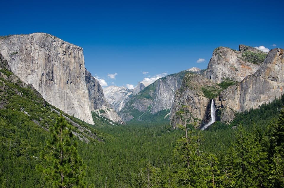
Full North Rim Traverse is a west-to-east, point-to-point route from Old Big Oak Flat Road to Mirror Lake in Yosemite Valley. The official figure is 29.1 miles one way, with 6,200 feet of climbing. It crosses long forests, streams and waterfalls before reaching four major high points: El Capitan, the top of Yosemite Falls, Yosemite Point and North Dome; Snow Creek brings you down to the Valley. The park describes it as strenuous and as a backpacking route. Expect roughly 17 hours if you push it in a day; most hikers will prefer an overnight. The connected map line is 26.6 miles, about 2.5 miles shorter than the park’s figure; use the official distance and don’t rely on this line for turn-by-turn navigation.

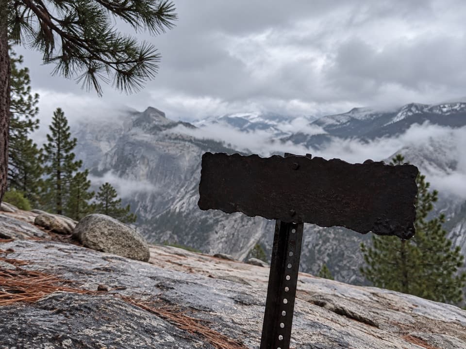
Sort out both ends firstThis entry follows the western start to Mirror Lake.

This entry follows the western start to Mirror Lake. The mapped start is on an Old Big Oak Flat Road path, but the exact current parking access and passability of this old-road approach aren’t confirmed. A 2013 trip report described a V7 roadside turnout, but that isn’t current trailhead guidance. Because this is one-way, arrange your return from Mirror Lake before setting out. No dependable drinking-water points or food stops were confirmed for this exact route. Overnight wilderness trips need a permit; ordinary day hikes do not. If you’re reserving a popular trailhead from late April through October, check the current reservation rules for your actual start.

The old-road approachThe western leg follows the old Big Oak Flat Road alignment.

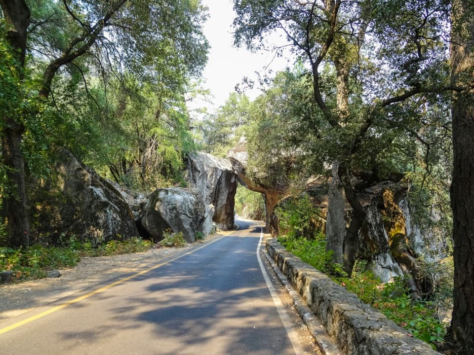
The western leg follows the old Big Oak Flat Road alignment. It began giving way to its replacement in 1935; a 2013 account describes surviving retaining walls and washed-out culverts, plus rockslides, fallen trees and loose boulder fields. That report is too old to describe today’s tread, which is why the access uncertainty matters. It also describes an opening at Rainbow View toward Bridalveil Fall, then another view across Merced Canyon toward Tunnel View. Those are useful landmarks if the sightlines remain open, but don’t count on an old report as a current route-condition check.

El Capitan and the top of Yosemite FallsEl Capitan’s summit is a wooded granite block, not the vertical wall you see from the Valley…

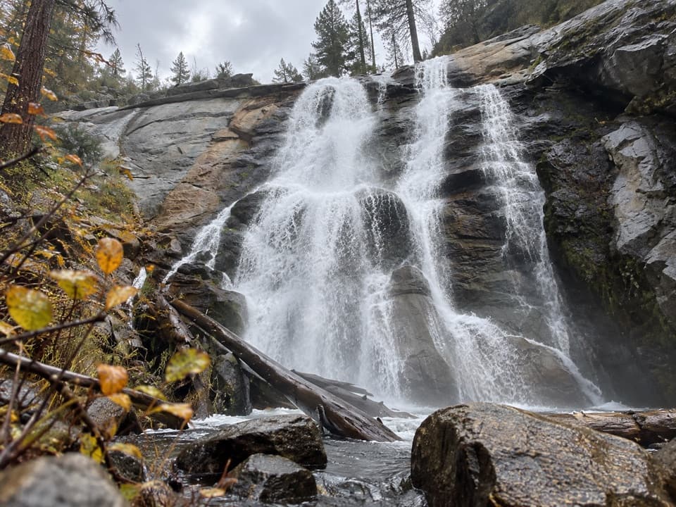
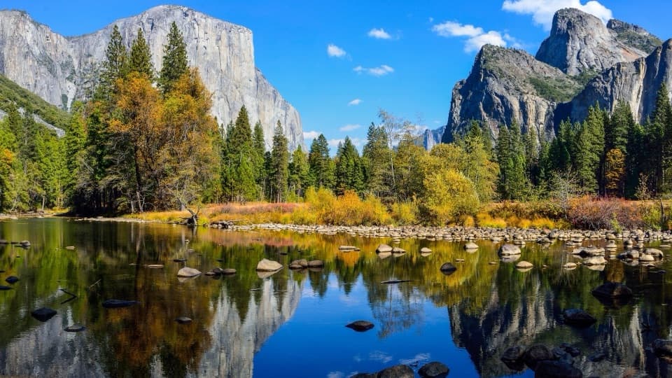
El Capitan’s summit is a wooded granite block, not the vertical wall you see from the Valley floor. Open edges around the summit give views in several directions, with a sheer drop close by. Stay well back from the rim. Farther east, the route reaches the top of Yosemite Falls; this is an upper-rim crossing, not the popular approach to the base of the falls. Streams and waterfalls are part of the route, but the availability and safety of drinking water at any crossing weren’t established.

Yosemite Point and North DomeThe route continues along the rocky North Rim to Yosemite Point, then North Dome.

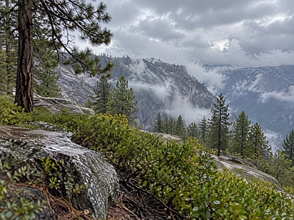
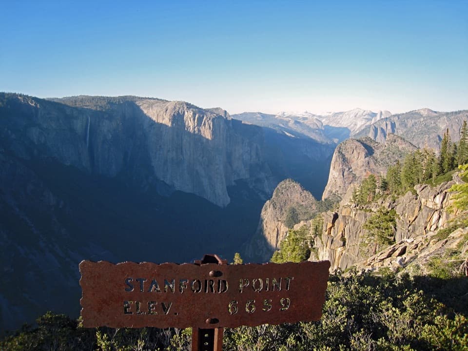
The route continues along the rocky North Rim to Yosemite Point, then North Dome. At first, trees can screen the Valley; the open granite sections bring the big views back. North Dome gives a close look toward Half Dome and Tenaya Canyon. It’s the best place on this crossing to stop for the classic Half Dome view; frame the granite shoulder with Half Dome behind it rather than aiming across empty sky. Both this stretch and the summits are shared with shorter North Rim itineraries, but this full route adds the long western approach and the Snow Creek descent.

A shorter versionIf you want the eastern landmarks without the full traverse, the park also describes an 18.

If you want the eastern landmarks without the full traverse, the park also describes an 18.1-mile, one-way Eastern North Rim route from Yosemite Falls or Snow Creek, with 5,200 feet of gain. It still reaches Yosemite Point and North Dome and remains a strenuous hike, but leaves out the Old Big Oak Flat Road approach and El Capitan. Dogs aren’t permitted on trails or in Yosemite wilderness.

Wildlife

Wildlife in Yosemite

All Yosemite wildlife maps

Sighting maps show where each species has been reported across Yosemite. Wildlife moves, so no sighting is guaranteed.

Keep exploring

Near Full North Rim Traverse

See it all on the map

Trails that start nearby

Places near the trailhead

Parkwolf’s Yosemite ranking

Top-rated trails in Yosemite

All 141 trails
  1. 1Half Dome TrailChallenging · 14.3 mi
  2. 2Clouds Rest TrailChallenging · 14 mi
  3. 3Nevada Fall Loop via Mist and John Muir TrailsChallenging · 6.4 mi
  4. 4Yosemite Falls TrailChallenging · 7.2 mi
  5. 5Panorama TrailChallenging · 8.2 mi
  6. 6Four Mile TrailChallenging · 4.8 mi

Take Parkwolf to Yosemite.

The audio tour guide for the drive, plus offline maps, trails, and wildlife heatmaps for when the signal drops.

4.7 from 8,600+ ratings

Download Parkwolf on the App StoreGet Parkwolf on Google Play