Parking
A small roadside pullout is on Tioga Road between Porcupine Flat Campground and Tenaya Lake, west of Olmsted Point. This is not the large Olmsted Point parking area used for the longer Snow Creek approach.

Yosemite National Park, CA
A quiet summit hike with a direct view across to Half Dome.
Overview
Map & elevation
Plan your hike

“Up ahead is the small Tioga Road turnout for Mount Watkins, an informal summit hike with views across Tenaya Canyon toward Half Dome and Clouds Rest.”
Yosemite Tour Guide
Parkwolf is a GPS audio tour guide for Yosemite National Park. As you drive, it chimes in with what’s ahead: hidden gems, upcoming stops, history, geology, and wildlife, right through your car’s speakers.
See the Yosemite audio tourRecorded for this trailhead
Mount Watkins Trailhead“Up ahead is the small Tioga Road turnout for Mount Watkins, an informal summit hike with views across Tenaya Canyon toward Half Dome and Clouds Rest.”
Plays as you drive up to this trailhead in the Parkwolf Yosemite Tour Guide.
More stories near here in the app
“We just drove through Yosemite and it made our trip listening to this app as we drove through. Like having a tour guide in the car with you.”


Trail guide
The Mount Watkins Trail is an informal out-and-back from a small Tioga Road turnout to the summit and back. This summit-focused route covers about 4.7 miles round trip and typically takes around 3 hours. It starts in forest, drops before climbing back to the granite summit; as the trees open, the view reaches across Tenaya Canyon toward Half Dome and Clouds Rest. The hike stays above roughly 8,000 feet.
The mapped line ends at Mount Watkins’ 8,498-foot summit. Some accounts continue south beyond the summit to a closer, exposed overlook and report a 6.3–6.4-mile round trip; that extension is not included here because its route could not be verified reliably. The approach from Olmsted Point is a separate, longer hike via the Snow Creek corridor, not this turnout start.
The high elevation and repeated climbing make this more demanding than the distance alone suggests, especially before acclimatization. Pets are not allowed on Yosemite trails. Continuing beyond the summit reaches an exposed south-side drop; that continuation is outside the mapped route.
Mount Watkins is named for Carleton E. Watkins, whose 1861 Yosemite expedition used mammoth-plate and stereoscopic cameras to record the region. The summit links a high-country walk to a photographer whose images helped bring Yosemite’s granite landscapes to a wider audience.
Wildlife
 732 sightingsBlack BearMost seen around 7 PMSighting map
 1,747 sightingsMule DeerMost seen around 6 PMSighting map
 332 sightingsCoyoteMost seen around 7 PMSighting map
 11 sightingsPeregrine FalconMost seen around 8 AMSighting map
 276 sightingsPikaMost seen around 8 AMSighting map
 677 sightingsYellow-bellied MarmotMost seen around 8 AMSighting map
Sighting maps show where each species has been reported across Yosemite. Wildlife moves, so no sighting is guaranteed.
Keep exploring
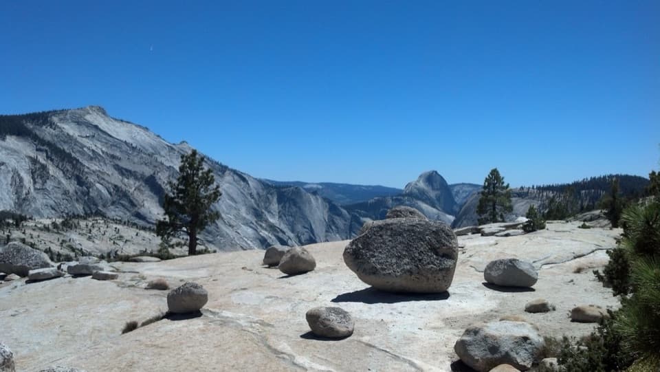 EasyOlmsted Point Trail0.3 mi · 30 min · 1.3 mi awayA short granite walk to erratics, Tenaya Lake and Half Dome.
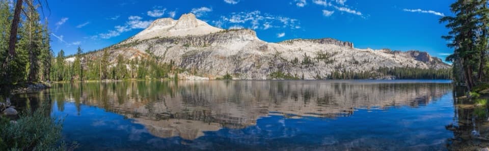 ChallengingMount Hoffmann Trail5.6 mi · 5.5 hr · 1.8 mi awayA high-country scramble above May Lake to Yosemite's geographic center.ModerateMay Lake Trail2.4 mi · 1.5 hr · 1.8 mi awayA high granite climb to a lake under Mount Hoffmann.
 ChallengingNorth Dome Trail10.4 mi · 6 hr · 2 mi awayA long ridge walk ends with Half Dome in full view.
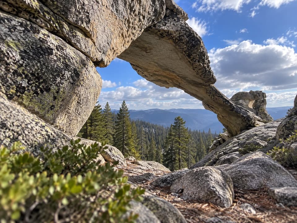 ModerateIndian Rock Arch Trail7.8 mi · 5 hr · 2 mi awayA granite arch turns the North Dome approach into its own hike.
 ChallengingHigh Sierra Camp Loop48.2 mi · 1.7 days · 2.3 mi awayFive camps and high passes on a 48-mile Yosemite circuit.
 ModerateSunrise Lakes Trail7 mi · 5.5 hr · 2.3 mi awayThree high-country lakes after a rocky switchback climb.
 ChallengingClouds Rest Trail14 mi · 9 hr · 2.3 mi awayA higher vantage on Half Dome, earned over a long exposed day.
 Sight · 1.3 mi awayOlmsted PointHalf Dome from another angle, framed by glacially carried boulders.
 Sight · 2.5 mi awayMay LakeA lake beneath Mount Hoffmann, reached by a steady uphill walk.
 Lodging · 2.5 mi awayMay Lake High Sierra CampA backcountry bed and meal beneath Mount Hoffmann.
 Sight · 2.9 mi awayTenaya LakeClear water, granite peaks, and an easy lakeshore stop.
 Campground · 3.2 mi awayPorcupine Flat CampgroundAn 8,100-foot base for Tioga Road's high-country stops.
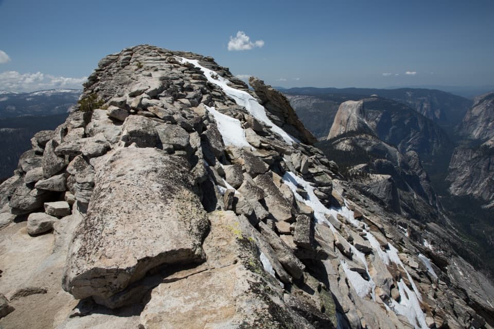 Sight · 3.2 mi awayClouds RestThe long hike pays off in a narrow ridge above Half Dome.Lodging · 4.3 mi awaySunrise High Sierra CampA meadow-side overnight with tent cabins and meals at 9,400 feet.
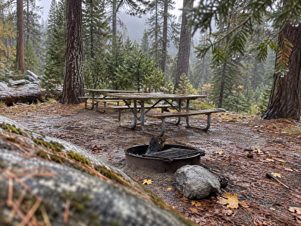 Picnic area · 4.4 mi awayYosemite Creek Picnic AreaA quiet, pine-shaded picnic beside Yosemite Creek.
Parkwolf’s Yosemite ranking

The audio tour guide for the drive, plus offline maps, trails, and wildlife heatmaps for when the signal drops.




