Parking
Start at Porcupine Creek Trailhead on Tioga Road. Parking is limited; a vault toilet and animal-safe food storage are available at the trailhead.
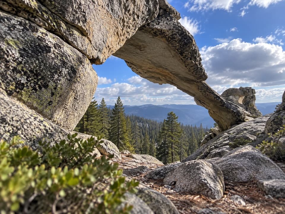
Yosemite National Park, CA
A granite arch turns the North Dome approach into its own hike.
Overview
Map & elevation
Plan your hike

“You're coming up on Porcupine Creek Trailhead, the start of the North Dome hike. Choose this for a face-on view of Half Dome across Tenaya Canyon, with five to seven hours for the ten point four miles round trip.”
Yosemite Tour Guide
Parkwolf is a GPS audio tour guide for Yosemite National Park. As you drive, it chimes in with what’s ahead: hidden gems, upcoming stops, history, geology, and wildlife, right through your car’s speakers.
See the Yosemite audio tourRecorded for this trailhead
North Dome from Porcupine Creek“You're coming up on Porcupine Creek Trailhead, the start of the North Dome hike. Choose this for a face-on view of Half Dome across Tenaya Canyon, with five to seven hours for the ten point four miles round trip.”
Plays as you drive up to this trailhead in the Parkwolf Yosemite Tour Guide.
More stories near here in the app
“We just drove through Yosemite and it made our trip listening to this app as we drove through. Like having a tour guide in the car with you.”


Trail guide
This is an out-and-back from Porcupine Creek Trailhead to Indian Rock, a natural granite arch on the North Dome approach. The NPS trailheads map lists Indian Rock 3.9 miles from the trailhead, or about 7.8 miles round trip. A separate NPS trailhead page describes the arch spur as 0.3 mile each way, while the connected mapped path to the arch measures about 3.0 miles one way. Those distances do not reconcile; use the longer official map figure for planning and check the map before setting out. Turn around at the arch; North Dome is farther along the shared trail.
The route begins in mixed-conifer forest and crosses Porcupine Creek within the first mile. It passes a small grassy meadow, then descends along a ridge before the short, steep spur climbs to the arch. Expect to climb back toward the trailhead on the return. Open granite along Indian Ridge brings views across the forested slopes, with Half Dome and Yosemite Valley appearing through clearings on the shared approach.
Porcupine Creek Trailhead is reached from Tioga Road, so vehicle access is seasonal and depends on the road being open. Parking is limited; arriving early can help. A vault toilet and animal-safe food storage are at the trailhead. Yosemite does not allow pets or bicycles on its hiking trails.
Wildlife
 732 sightingsBlack BearMost seen around 7 PMSighting map
 1,747 sightingsMule DeerMost seen around 6 PMSighting map
 332 sightingsCoyoteMost seen around 7 PMSighting map
 11 sightingsPeregrine FalconMost seen around 8 AMSighting map
 276 sightingsPikaMost seen around 8 AMSighting map
 677 sightingsYellow-bellied MarmotMost seen around 8 AMSighting map
Sighting maps show where each species has been reported across Yosemite. Wildlife moves, so no sighting is guaranteed.
Keep exploring
 ChallengingNorth Dome Trail10.4 mi · 6 hr · At the trailheadA long ridge walk ends with Half Dome in full view.
 ModerateMount Watkins Trail4.7 mi · 3 hr · 2 mi awayA quiet summit hike with a direct view across to Half Dome.
 ChallengingYosemite Creek Trail12 mi · 6 hr · 3.1 mi awayA long creekside walk through pools and polished granite.
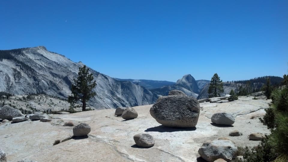 EasyOlmsted Point Trail0.3 mi · 30 min · 3.3 mi awayA short granite walk to erratics, Tenaya Lake and Half Dome.
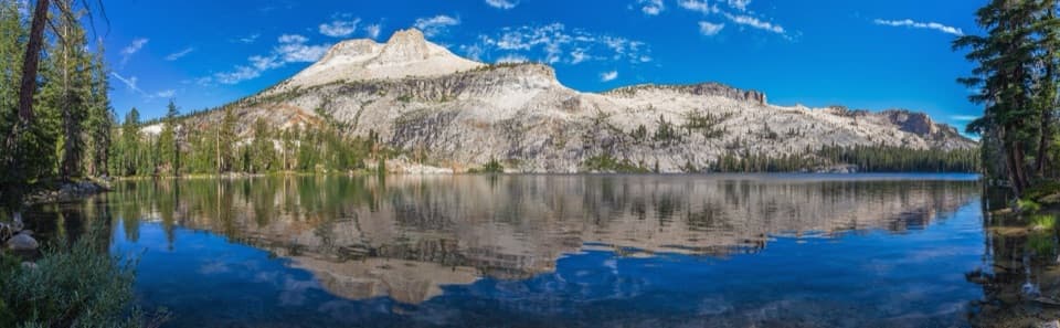 ChallengingMount Hoffmann Trail5.6 mi · 5.5 hr · 3.5 mi awayA high-country scramble above May Lake to Yosemite's geographic center.ModerateMay Lake Trail2.4 mi · 1.5 hr · 3.5 mi awayA high granite climb to a lake under Mount Hoffmann.
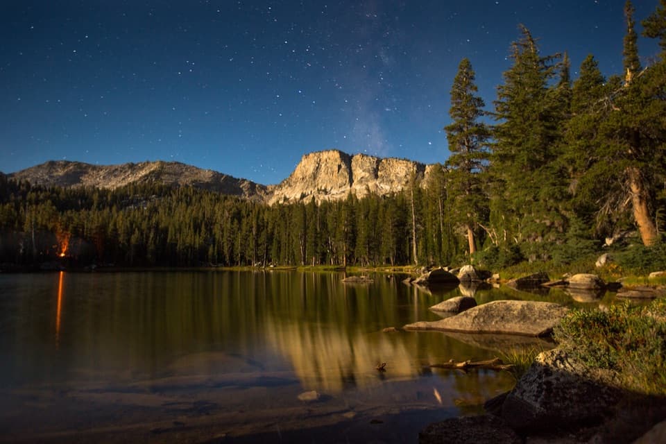 ChallengingTen Lakes Trail12.6 mi · 8 hr · 3.6 mi awayA long granite climb for basin lakes and broad Sierra views.
 ChallengingTen Lakes to Tenaya Lake Traverse20.4 mi · 13 hr · 3.6 mi awayA high-country traverse from Ten Lakes Basin to Tenaya Lake.
 Campground · 1.2 mi awayPorcupine Flat CampgroundAn 8,100-foot base for Tioga Road's high-country stops.
 Campground · 3.1 mi awayYosemite Creek CampgroundRemote high-country camping comes after five rough miles off Tioga Road.
 Sight · 3.3 mi awayOlmsted PointHalf Dome from another angle, framed by glacially carried boulders.
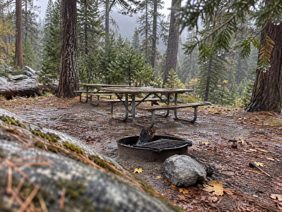 Picnic area · 3.4 mi awayYosemite Creek Picnic AreaA quiet, pine-shaded picnic beside Yosemite Creek.
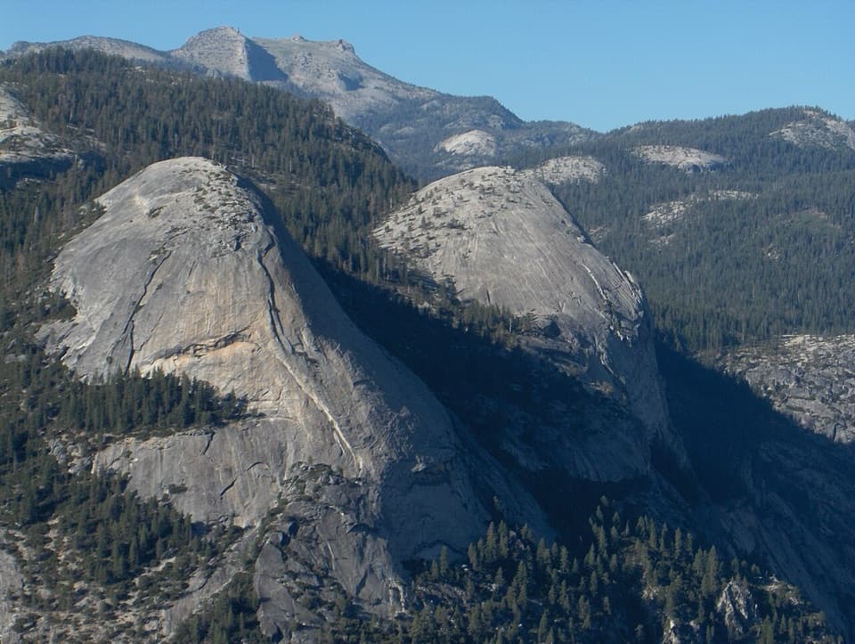 Sight · 3.5 mi awayNorth DomeA long summit walk pays off with Half Dome face-on.
 Sight · 4 mi awayMay LakeA lake beneath Mount Hoffmann, reached by a steady uphill walk.
 Lodging · 4 mi awayMay Lake High Sierra CampA backcountry bed and meal beneath Mount Hoffmann.
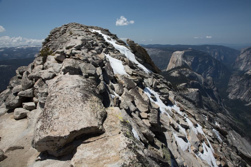 Sight · 4.1 mi awayClouds RestThe long hike pays off in a narrow ridge above Half Dome.
Parkwolf’s Yosemite ranking

The audio tour guide for the drive, plus offline maps, trails, and wildlife heatmaps for when the signal drops.





